
What’s Being Built Around Town? Our Development Tracker Follows the Plans and Votes
Wondering what’s being built around town? Our updated development cards bring together maps, site photos, plans and the public decisions behind local projects.

Drive down North Causeway, Saxon Drive or Old Mission Road and there is usually another construction fence, sales sign or cleared piece of land. The obvious questions are what is going there, how big it will be and who approved it.
We built the News Smyrna Development Tracker to make those answers easier to find. It brings local projects into one searchable page, with cards that connect the location and photos to the plans, permits and public decisions behind them.
The page has grown beyond the handful of sites in our original photo roundup. It covers housing, commercial developments, mixed-use plans and public projects around New Smyrna Beach, Edgewater and Oak Hill. You can search by project name, filter by city or project type, or jump straight to a particular development.
Browse the Development Tracker →
Start with the place you recognize
A project can have one name on its sales sign and another in city records. The cards bring those names together where the connection is documented, along with the location, builder or developer when identified, reported size and current status.
Satellite views help put the project on the map. Location links open Google Maps, and site photos show what was visible when the picture was taken. That gives you a way to connect a planning document to the property you pass every day.
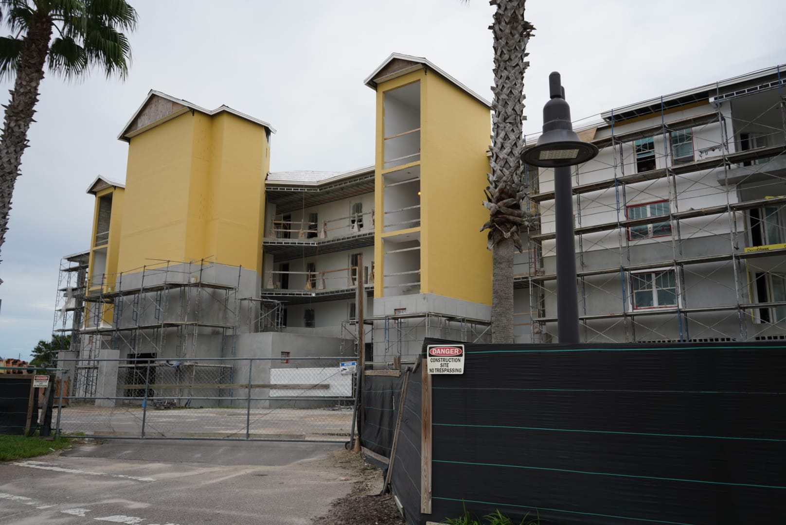
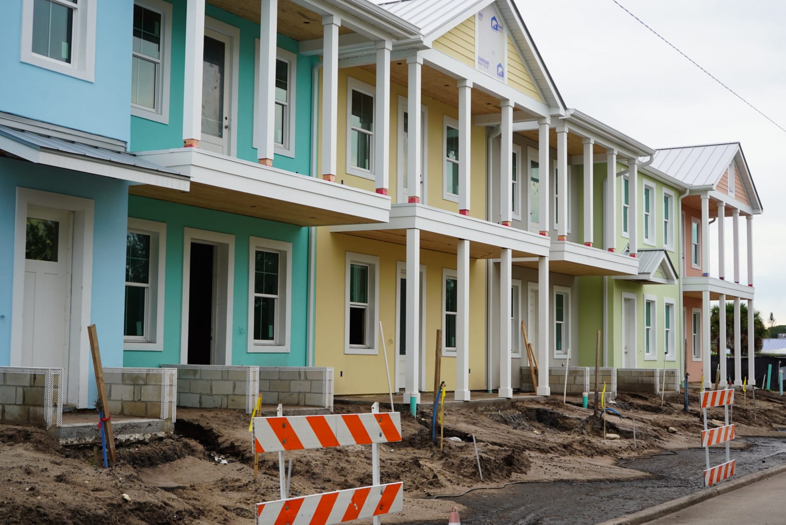
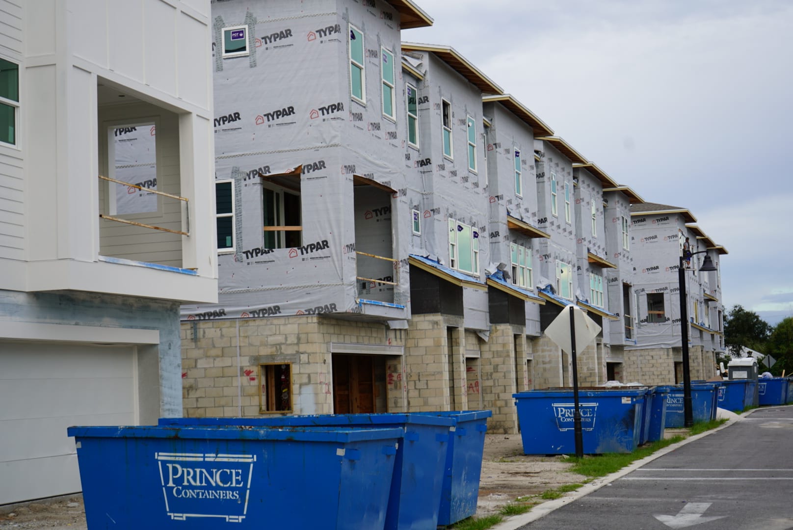
Construction on North Causeway: Riverwalk condos and the townhome development beside Island Roasters.
Follow the decisions behind the construction
Open a card and you can follow its history through dated entries. Depending on the available records, that can include an application, a planning-board recommendation, a council vote, utility agreements, permit reviews and later construction milestones. Recent actions are easier to scan, with older history available when you want to dig further.
The distinction matters. A recommendation from a planning board is different from a council approval. A permit application is different from an issued permit, and an inspection on one building does not establish that an entire neighborhood is finished.
Where voting records are available, the cards identify the body that acted and show the outcome. Individual votes appear when supported by the record; inferred votes are labeled. Links take you to the underlying minutes, agendas, reports or permit records so you can read the source yourself.
A few places to start
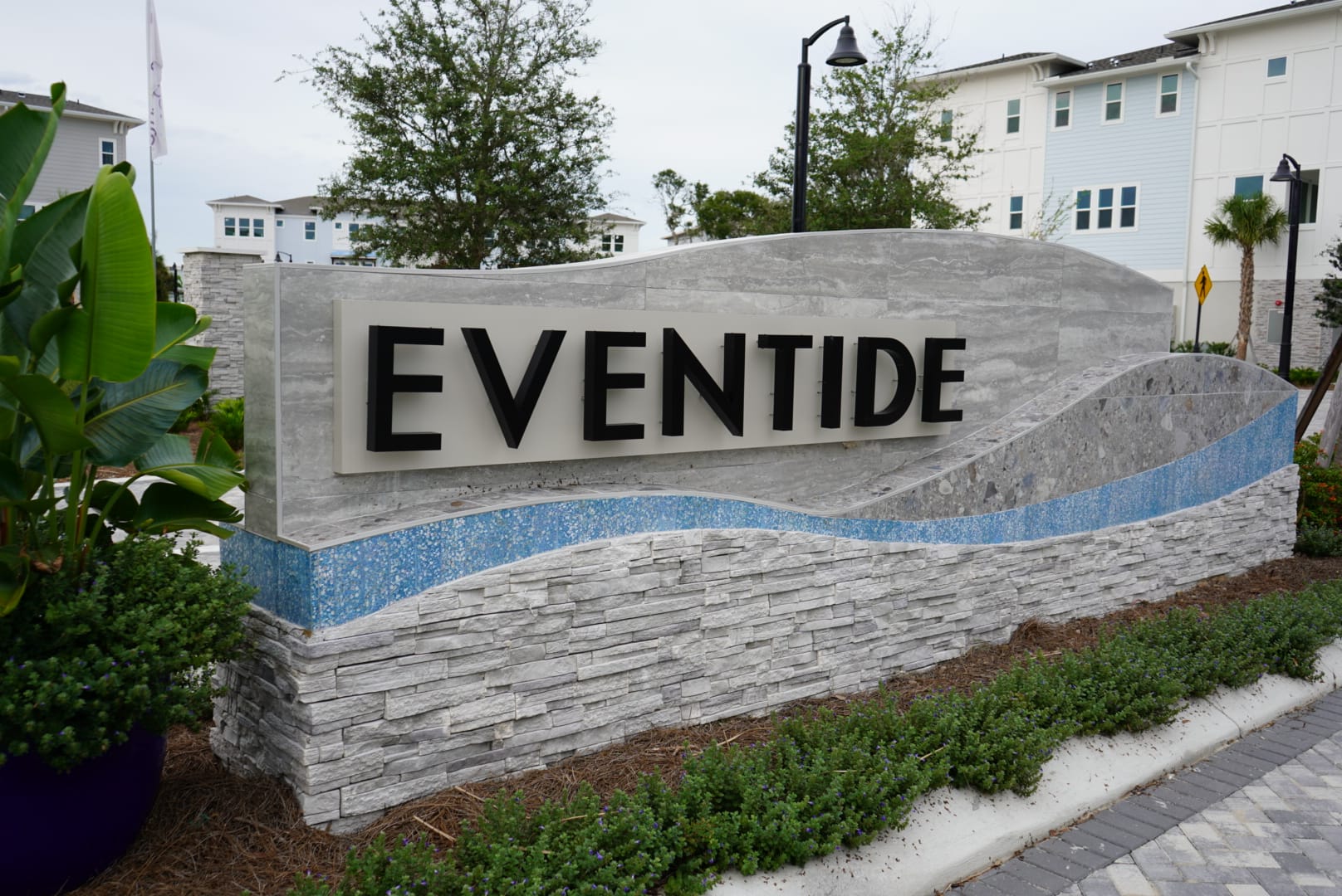
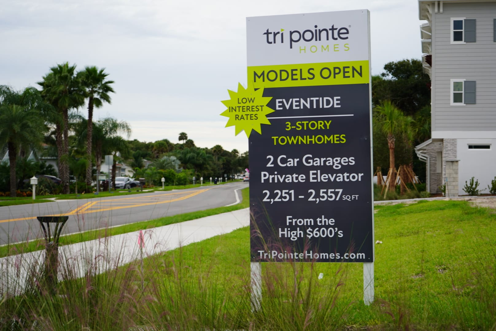
On North Causeway, open Riverwalk and Coral Villas to separate the neighboring projects and their approval histories. On Saxon Drive, EvenTide connects the community's sales name with the Oakwiler name used in its planning records.
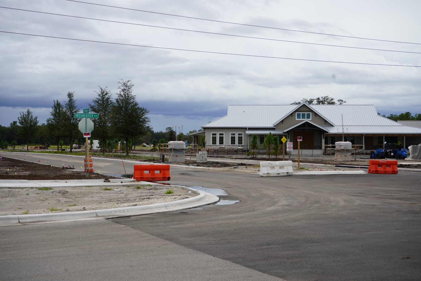
In Edgewater, Deering Park North and Deering Park Center have separate cards. Keeping the overall plans, individual phases and later agreements together makes it easier to see what a particular decision actually covered.
From the site visits
These photographs were taken for our October 22 roundup. They show the pictured areas on that visit; the linked development cards carry the later record updates.
Deering Park Center
Parks at Edgewater
Open the Parks at Edgewater card for the phase history and source records.
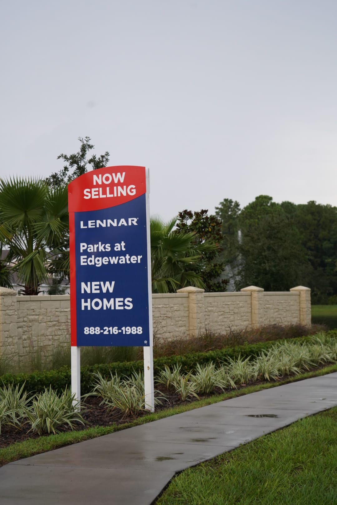
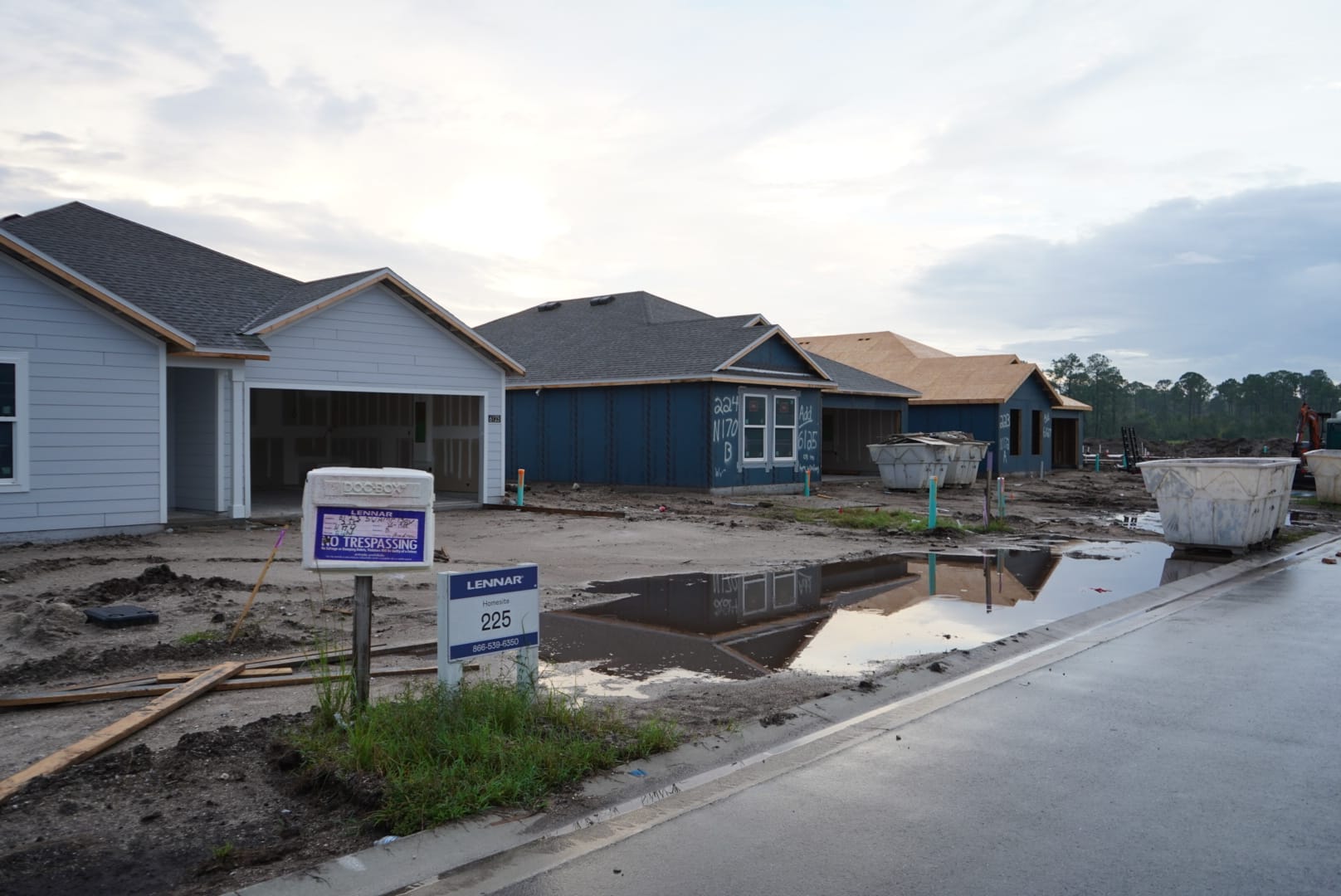
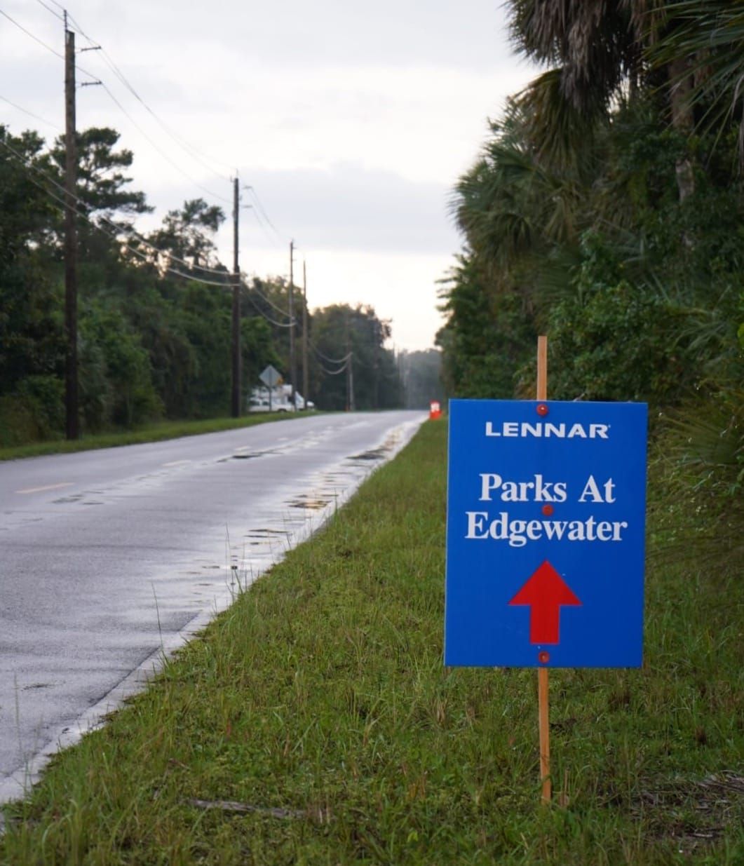
Lennar’s Parks at Edgewater sales sign and homes under construction.
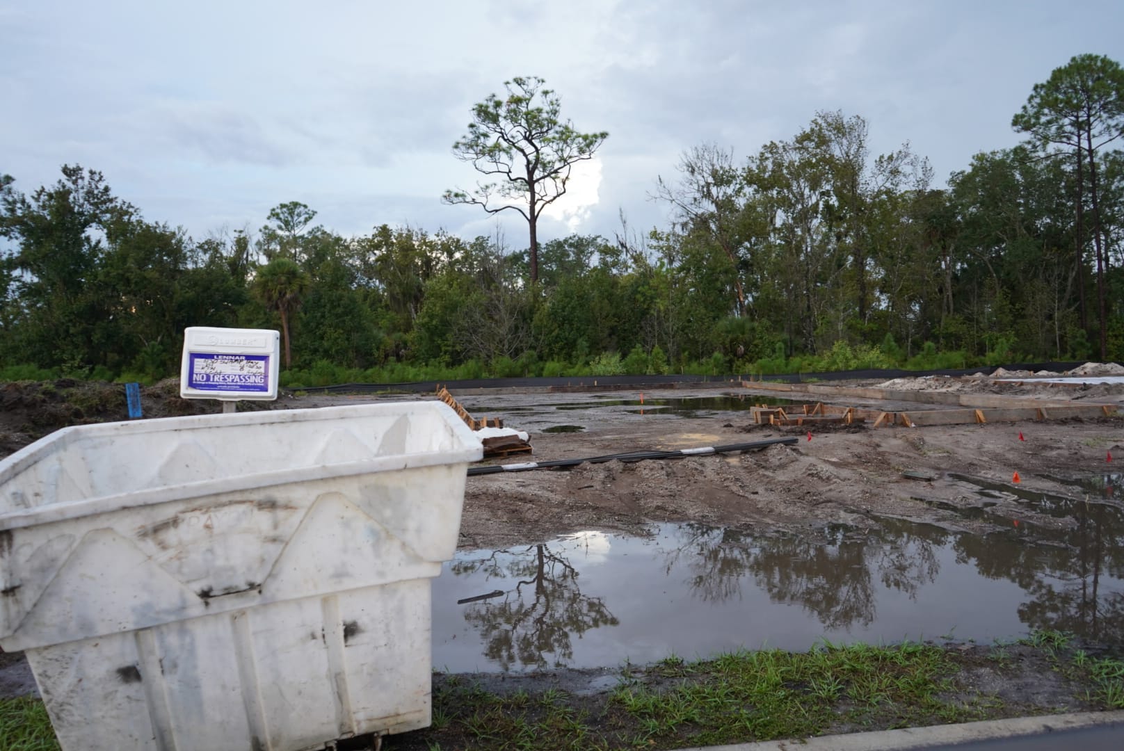
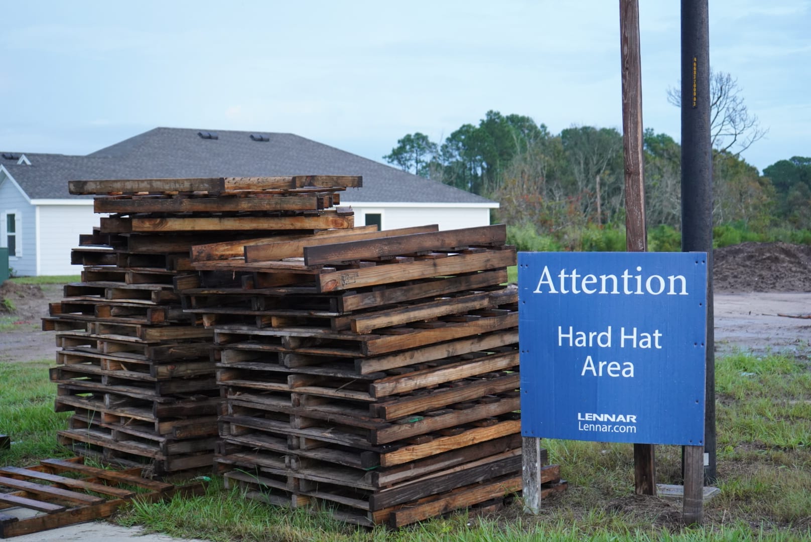
Standing water at a building lot and stacked materials beside Lennar’s hard-hat-area sign.
Along Old Mission Road
Hammock Lakes and Sandalwood were among the stops on the original photo tour. Search the tracker for Hammock Lakes, or open Sandalwood / Smyrna Creek Preserve.
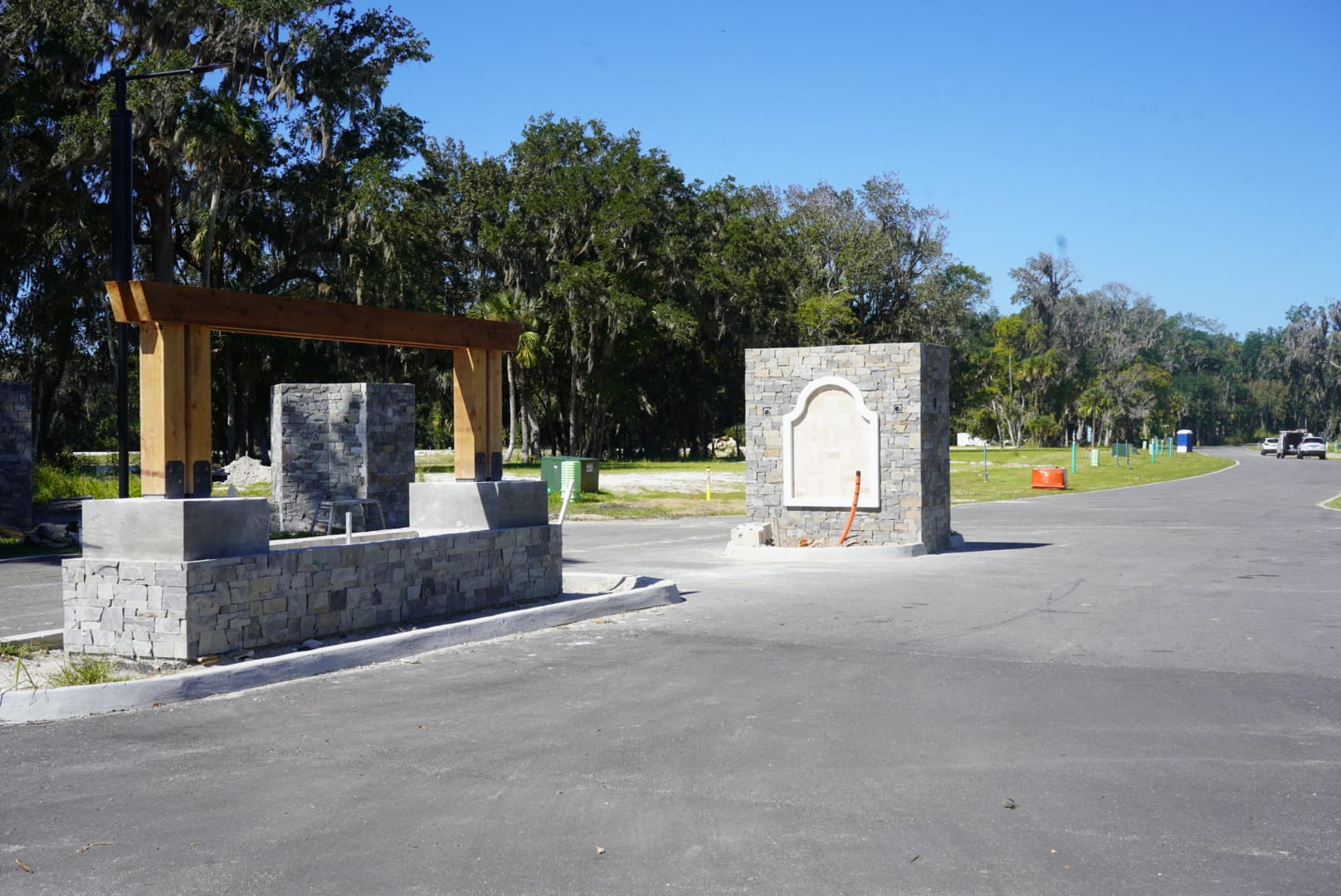
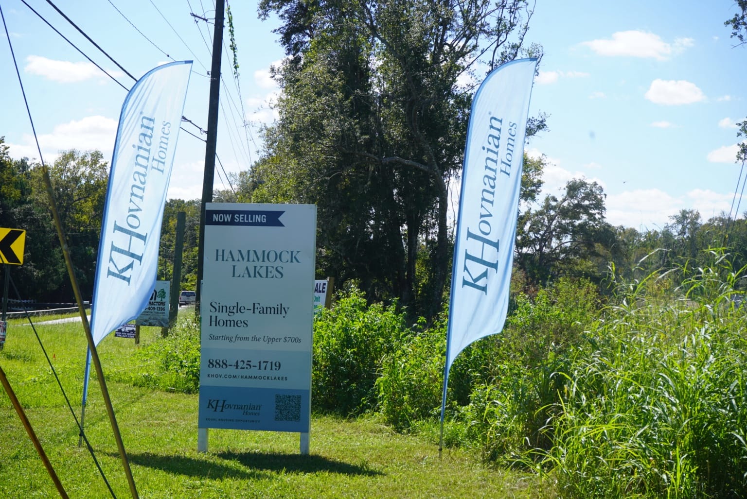
Hammock Lakes: entrance construction and K. Hovnanian Homes’ roadside sign off Old Mission Road. Photos: News Smyrna.
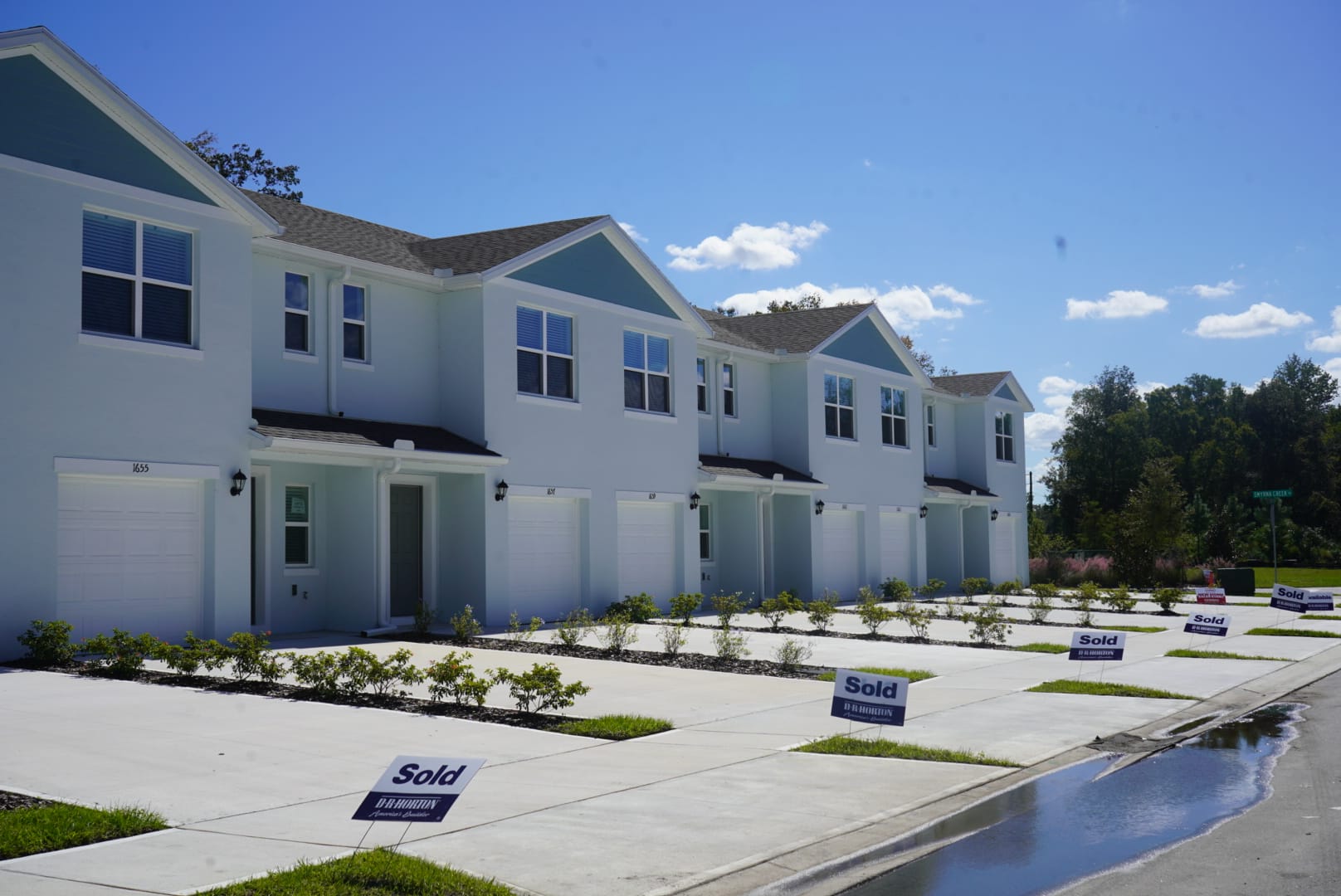
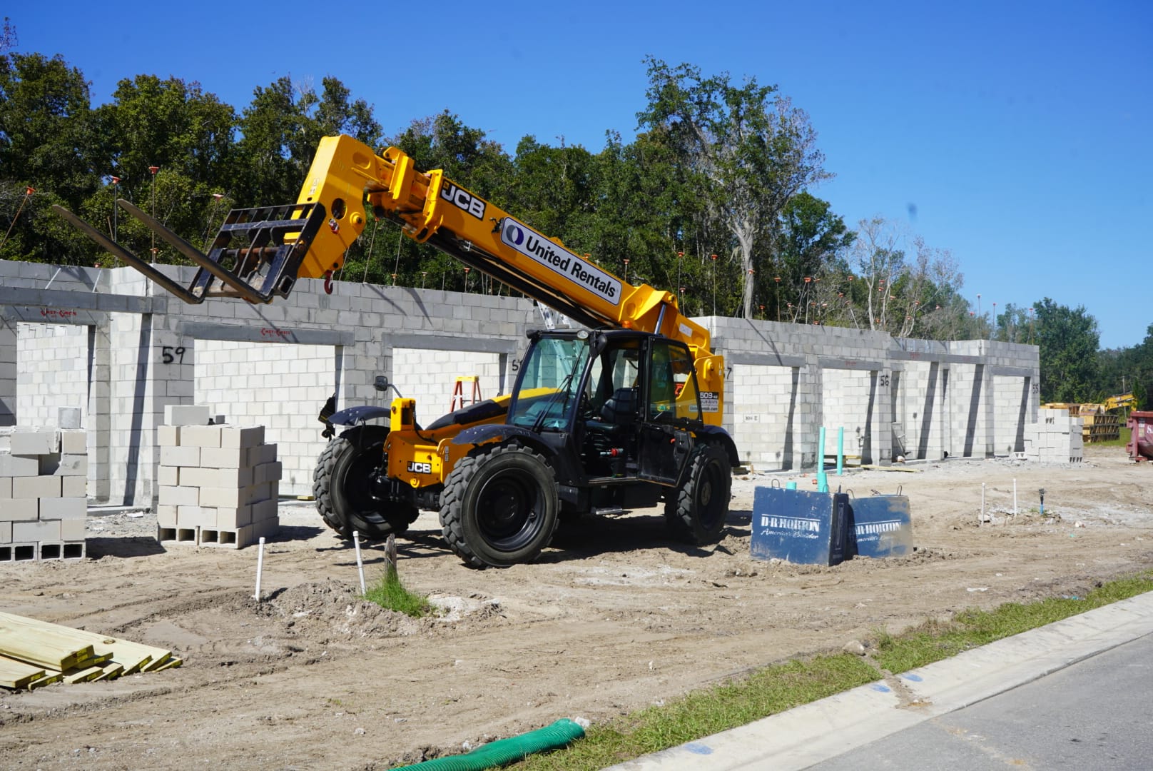
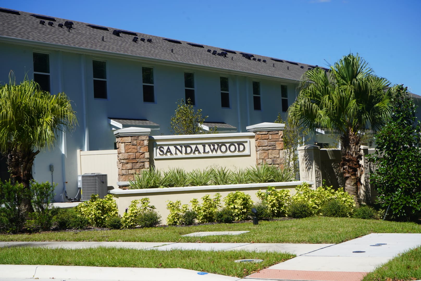
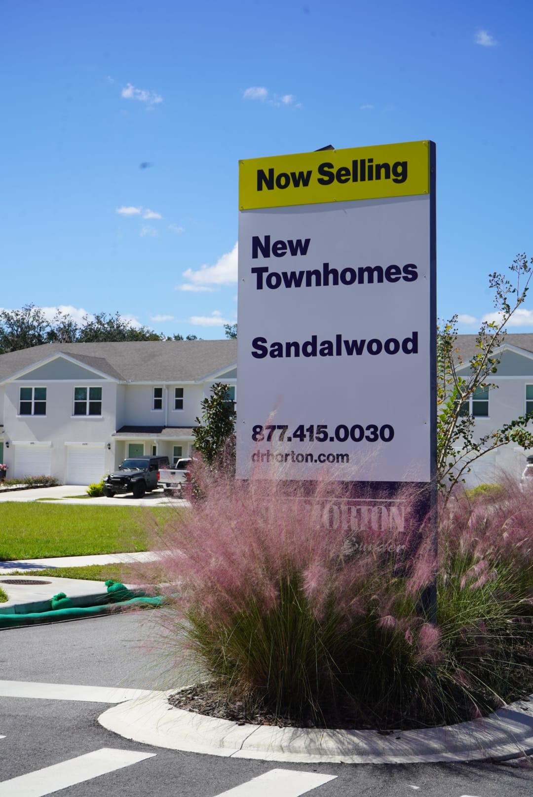
Sandalwood off Old Mission Road: completed townhomes with sold signs, block walls under construction, the entrance monument and D.R. Horton’s sales sign. Photos: News Smyrna.
Flagler Dunes and Park Avenue pickleball
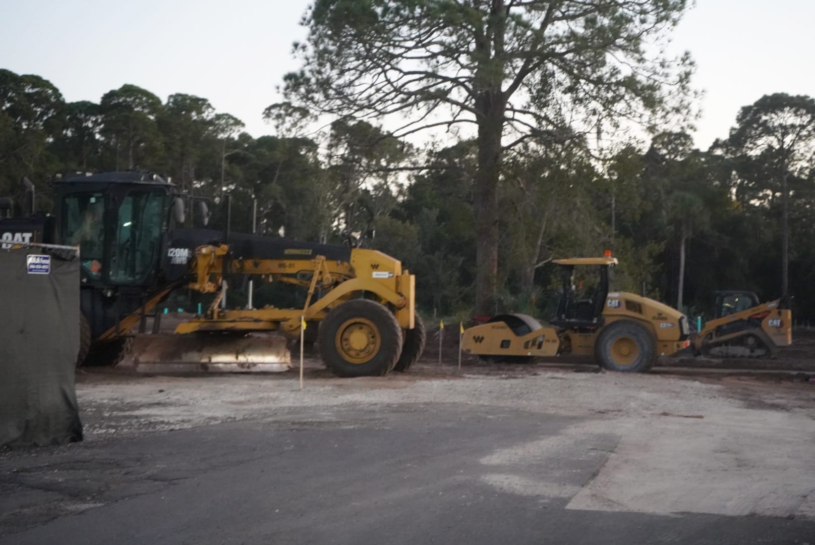
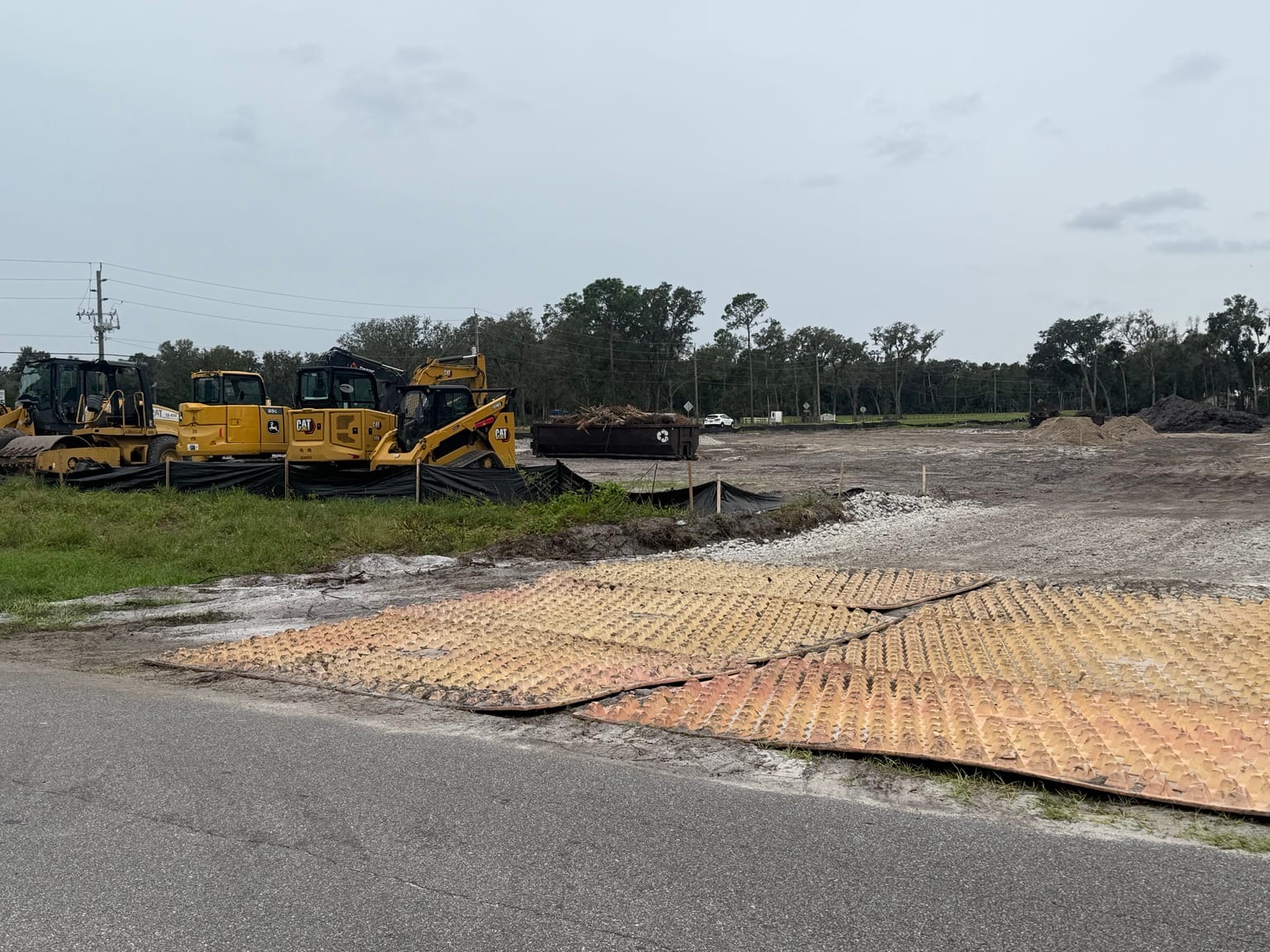
The tracker also follows Flagler Dunes across from the high school and Serves Up on West Park Avenue.
Use the totals with the project details
The housing subtotal includes the projects and phases explained in the table at the bottom of the tracker. It includes homes already built, homes proposed and capacity allowed in larger plans. It is not a count of homes all arriving at once. Newly added projects are kept out of that subtotal until overlapping plans and phases are reconciled.
Some cards have deeper histories than others. Dates and source notes show what has been checked, and unresolved details stay identified rather than being filled in with assumptions. The tracker will keep growing as more records and project updates are added.
If you are wondering about a site around town, start with its development card. You can check the location, see the latest recorded action and follow the paperwork back to the decision.