
Developments
Developments
What’s being built near you?
Your address is not saved.
Distances are straight-line estimates to saved project points, which may represent an approximate area. They are not driving distances or distances to property boundaries.
Explore tools
No matching projects.

Loading projects…
How we track progress
Reference pins mark saved project locations, not surveyed boundaries. Outlined maps show the area identified in their cited source. Satellite imagery and photos may predate the latest record; open each project for captions, source dates and qualifications.
Upcoming proposals and permits appear first, followed by active construction, homes with some occupancy approvals, established projects, and inactive or uncertain records. Within each stage, dated project activity sets the order. A source check or card edit does not make a project new. Land purchases are leads, not development approvals.
Housing is complete only when issued final certificates of occupancy cover every approved home in the same project or phase. Count distinct homes or apartment units; one certificate can cover several units. Partial records are shown as “at least.” Unknown counts are not zero. Recorded sales are separate from construction completion.
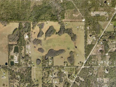 Satellite · reference point
Expand for details6 records · map & project info
Timeline and votes
Decisions & project history
Newest firstSt. Johns River Water Management District · Case correspondence
District seeks a date for an environmental site inspection
Record details & sources
After the project engineer identified the environmental consultant, the district proposed dates for a site inspection. The inspection was still being arranged in this correspondence. The environmental application remains pending at the November 14 check.
Original district correspondence ↗ · Earlier inspection-coordination request ↗
St. Johns River Water Management District · Application received
Private-road and drainage application received
Record details & sources
Application 259471-1 describes fifteen proposed 10-acre lots and requests environmental review of the private road and its runoff pond. This filing is not subdivision approval or permission to build homes.
Volusia County Property Appraiser · Transaction index
County lists $1.7 million multi-parcel warranty-deed transaction
Record details & sources
The parcel cards submitted with the district application list a June 27, 2024 warranty-deed transaction for all three project parcels: 821001010020, 821001020010 and 821001020120. Each points to instrument 2024133507, book 8580/page 3106, with $1,700,000 classified as a multi-parcel, vacant-property transaction. This is one indexed transaction; the amount is not repeated or allocated to each parcel. Original deed parties and boundaries require the recorded deed.
Application attachment · county parcel card; corroborated by the other two parcel cards ↗ · Second submitted parcel card ↗ · Third submitted parcel card ↗
Volusia County Property Appraiser · Transaction index
Earlier personal-representative transfer listed
Record details & sources
All three submitted parcel cards list this personal-representative transfer, instrument 2014191171, book 7045/page 3948, at $100, classified unqualified and vacant. These are historical land-index entries, not evidence of the current subdivision’s approval. The county warns that its table is not a complete chain of title.
Volusia County Property Appraiser · Transaction index
Earlier personal-representative transfer listed
Record details & sources
All three submitted parcel cards list this personal-representative transfer, instrument 2014173421, book 7036/page 0467, at $100, classified unqualified and vacant. These are historical land-index entries, not evidence of the current subdivision’s approval. The county warns that its table is not a complete chain of title.
Volusia County Property Appraiser · Transaction index
Earlier quitclaim transfer listed for the main parcel
Record details & sources
The submitted county card for parcel 821001010020 lists a November 15, 1998 quitclaim entry, instrument 1998228107, book 4373/page 2452, at $10, classified unqualified and vacant. The other two submitted parcel tables do not list this entry. This is an indexed historical date, not a verified start of the current development proposal or a complete title chain.
Photos and map
Photos & map
Satellite view with a marker at the saved project reference. The marker is not a surveyed parcel boundary; imagery date unverified. Imagery: Esri, Maxar, Earthstar Geographics and the GIS User Community. Open satellite image · Open mapped reference
Project facts and sources
Project information & sources
- People & companies
Owner named in district filing: Lakewood Luxury Properties, LLC · Applicant / engineering firm: 1828 Engineering · Construction contractor unconfirmed. Original district application ↗
- Approvals & permits
The district application is pending. Approval of the subdivision and individual homes is not established.
- Size & completion
The district filing lists a 24.28-acre road and drainage review area. That is not the full subdivision acreage or an approved lot count. Construction and completion dates are unconfirmed.
- Things to know
The application identifies three parcels: 821001010020, 821001020010 and 821001020120. Their New Smyrna Beach mailing addresses do not make this a city project. The application reference point is approximate, not a surveyed lot boundary.
- What happens next
The November 13 correspondence was still arranging an environmental site inspection. The pending application concerns the private road and drainage pond; it does not approve the fifteen-lot subdivision or individual homes.
- Sources
Sources checked November 6, 2026.
District case 259471-1 · Original application
Additional original school, agency and submitted parcel records checked November 10, 2026. Their dated actions and limits are recorded separately above. This review does not establish a construction start, opening, completion or a complete acquisition-through-current history.
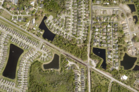 Satellite · reference point
Expand for details6 records · map & project info
Timeline and votes
Decisions & project history
Newest firstSt. Johns River Water Management District · Case correspondence
District says environmental assessment report was missing
Record details & sources
In a reply to the consultant, district staff said the submission included a safety study with some environmental discussion but omitted the environmental assessment report. The correspondence includes the consultant’s earlier message supplying wetland maps. The permit-exemption request remains pending at the November 14 check.
St. Johns River Water Management District · Project correspondence
District asks for a wetland-boundary exhibit
Record details & sources
A district reviewer asked the consultant to provide an exhibit showing wetland and surface-water boundaries. The submitted report says the boundaries were identified, but the reviewer could not find them on the plans. The permit-exemption request remains pending at the November 12 check.
St. Johns River Water Management District · Exemption request received
County asks whether road-safety work qualifies for a permit exemption
Record details & sources
The county submitted proposed pavement, lane, shoulder and ditch improvements for this Pioneer Trail segment. It asks the district to verify an environmental permit exemption. The application and original location map are dated October 21; the live case remains pending at the November 5 check.
Volusia County Council · Engineering task assignment
County authorizes up to $424,410 for Pioneer Trail engineering
Record details & sources
The council approved Newkirk Engineering’s task assignment for Pioneer Trail safety improvements from Tomoka Farms Road to Williamson Boulevard, 22-SQ-172SR, PC3592, TA18, for up to $424,410. The action list records a motion by Johansson, seconded by Santiago, carried 6–0 with Brower absent. The assignment is separate from a construction award or environmental permit.
Volusia County · Dated capital planning document
Capital program distinguishes engineering, land and future construction
Record details & sources
The county’s capital program dated October 1, 2024 identifies project PW-ENG-5896, Pioneer Trail safety improvements from Tomoka Farms Road to Williamson Boulevard, including realignment of roadside ditches farther from the road. Its schedule lists $1.2 million engineering and $1.6 million right of way in FY2024–25, $10.625 million construction in FY2025–26, and $18,950 prior construction expenditure, totaling $13,443,950. These are the plan’s staged budget figures, not proof of acquired parcels, completed engineering, an awarded construction contract or payments totaling that sum. The subsequent October 15 engineering task assignment remains a separate action. Original county capital plan · PDF page 406 ↗
Volusia County · Dated capital planning document
County capital presentation includes the safety corridor
Record details & sources
The county’s June 7, 2022 Five Year Capital Plan lists Pioneer Trail from Tomoka Farms Road to Williamson with $1.2 million in FY2022–23 and $800,000 in FY2023–24 on its roads capital-improvement table. A separate unfunded-priorities table lists $8.625 million for the same named corridor. The presentation explains that later years are planning figures, not appropriations until budgeted or separately authorized. These figures are not a construction award, paid cost or verified start date. Original county capital plan · PDF page 12 ↗
Photos and map
Photos & map
Project facts and sources
Project information & sources
- Approvals & permits
Water district review continues. Staff says the environmental assessment report was missing from the submission. An exemption request does not establish a granted exemption, construction authorization or completed work.
- Size & completion
The filed environmental project area is 93.43 acres. The application lists 8.66 acres of existing traffic-related impervious surface and 2.67 acres of additional traffic-related impervious surface. These are filing quantities, not acquired land area or a count of travel lanes. A verified construction start, completion date and final project cost remain unconfirmed.
The county’s FY 2025–26 capital plan lists $10,625,000 for construction of the Tomoka Farms Road–Williamson Boulevard safety corridor. This is a fiscal-year expenditure plan, not an awarded contract, construction start or final paid cost. Original county FY 2025–26 capital plan · PDF page 414 ↗
County planning records for the named corridor extend back to the June 7, 2022 capital presentation. The October 1, 2024 program identifies PW-ENG-5896 and separates engineering, right-of-way and construction budgets. The existing FY2025–26 $10.625 million construction entry is retained as a planned expenditure. None of these budget records independently verifies right-of-way deeds, a construction award, start or completion; they are separate from the Tomoka Farms intersection roundabout and Pioneer Trail/I-95 interchange. Original dated capital program · Pioneer corridor ↗
- Things to know
This county road-safety proposal is separate from the Pioneer Trail/I-95 interchange and the commercial project at 2759 Pioneer Trail. Widening existing lanes does not, by itself, mean adding travel lanes.
County GIS shows unincorporated reference parcels and intersections with New Smyrna Beach and Port Orange city limits along the mapped corridor. A New Smyrna Beach mailing address does not establish municipal jurisdiction. The map pin is an approximate application-area reference.
- What happens next
Proposed dates in an application are not a confirmed work schedule.
The October 21 application proposes January 10, 2028 through June 30, 2029 for the work. These are applicant planning dates, not an approved construction schedule or a contractor’s notice to proceed. Original exemption-request quantities and planning dates ↗
- Sources
Sources checked: Nov 5, 2026 · New district filings Nov 12, 2026 · New correspondence Nov 14, 2026
Additional original county project records checked November 10, 2026. Their dated actions and limits are recorded separately above. This review does not establish a construction start, completion, or a complete acquisition-through-current history.
Additional original records checked November 10, 2026. Historical predecessor scopes, issued and pending sequences, named roles, dated funding actions and ownership records remain separate facts; full lifecycle and construction completion remain unconfirmed.
Application-area, impervious-surface quantities and proposed dates read from the original exemption request November 15, 2026. Original exemption-request quantities and planning dates ↗
Expand for details11 records · map & project info
Timeline and votes
Decisions & project history
Newest firstSt. Johns River Water Management District · Response deadline extension
District extends the response deadline to January 31
Record details & sources
The district granted the consultant ninety more days to answer its August 4 request for additional information. The new response deadline is January 31, 2027. The environmental application for this southern road segment remains pending at the November 12 check.
Project consultant · Filed request
Consultant requests more time for wetland response
Record details & sources
The consultant requested a 90-day extension while working to acquire credits to offset wetland impacts. District staff placed the request in application 29888-3. This is an extension request, not a permit or a confirmed new deadline.
St. Johns River Water Management District
District requests drainage, wetland and maintenance information
Record details & sources
District staff asked for more information about drainage, wetland boundaries and impacts, mitigation, and long-term stormwater maintenance. The letter says construction covered by this application cannot begin until the district issues its permit.
St. Johns River Water Management District · Application received
County files environmental application for southern road segment
Record details & sources
Application 29888-3 describes road alignment, pavement, drainage, safety and pedestrian-path work from south of West Park Avenue to north of Eslinger Road. The county says the northern segment toward Josephine Street will be submitted separately. Filing an application does not establish approval or a construction start.
Volusia County Council · Road-funding discussion
Council directs staff to continue the safety project
Record details & sources
During its road-funding discussion, the council directed staff to continue the Old Mission Road safety project rather than pursue a four-lane expansion. The action list records this under a consensus item and lists the vote as N/A; it does not provide an individual roll call for this direction.
Volusia County Council · Contract amendment
County approves $161,535 addition to design contract
Record details & sources
The council approved Amendment 3 to DRMP’s Old Mission Road design contract, authorizing an additional $161,535. The action list records a motion by Johansson, seconded by Santiago, carried 6–0 with Brower absent. This does not establish a construction start or final project cost.
Volusia County Council · Contract amendment
County approves first design-contract amendment
Record details & sources
The council approved Amendment 1 to DRMP’s Old Mission Road design contract, listing $151,000 in expenditure. The action list records a motion by Post, seconded by Wheeler, carried 6–0. This is a design-contract action for the broader corridor, not a construction permit.
Volusia County Council · Design contract
County awards $991,700 roadway-design contract
Record details & sources
The council approved the $991,700 contract with DRMP, Inc., for Old Mission Road engineering design, 20-SQ-202SR. The action list records a motion by Wheeler, seconded by Lowry, carried 7–0. The amount is for this design contract, not the total construction cost.
Volusia County Council · Engineer selection
County selects DRMP to design Old Mission Road improvements
Record details & sources
The council approved selecting DRMP, Inc., for roadway-improvement design under solicitation 20-SQ-202SR. The action list records a motion by Lowry, seconded by Wheeler, carried 7–0. This concerns the broader Old Mission Road corridor; it is not approval of the later southern-segment environmental application.
St. Johns River Water Management District · Historical issued permit
District issues the earlier corridor drainage permit
Record details & sources
The district’s October 29, 1997 letter encloses general permit 40-127-0350G-ERP for the earlier Old Mission Road project. The original staff report describes road realignment and drainage on the Park Avenue–Eslinger Road corridor. This historical permit is separate from application 29888-3 and does not authorize the present safety works or prove either project’s construction or completion. Original October 29, 1997 permit ↗
St. Johns River Water Management District · Historical corridor application
County submits an earlier Old Mission Road realignment plan
Record details & sources
The original staff report records receipt November 7, 1996 for a 10.56-acre, 0.87-mile Old Mission Road realignment with roadside drainage. It locates the earlier work just north of Park Avenue to south of Eslinger Road. This is historical work on the same corridor, distinct from the county’s current safety project and its newly pending southern-segment application; it does not establish the current project began construction in 1996. Original historical technical staff report · receipt and location ↗
Photos and map
Photos & map
Project facts and sources
Project information & sources
- Approvals & permits
Environmental application pending; the district extended the response deadline to January 31, 2027. No district permit, construction authorization or opening date is established here.
- Size & completion
The application lists a 22.71-acre environmental project area. This is separate from the full corridor to Josephine Street. Construction and completion dates are unconfirmed.
The same capital plan lists $2,500,000 in FY 2025–26 construction expenditure for the broader Josephine Street–West Park Avenue corridor and describes shifting the road west of the canal. That broader budget scope is distinct from the southern environmental application; it is not a verified final project cost. Original county FY 2025–26 capital plan · PDF page 454 ↗
The county capital plan separately lists $1.1 million for an Old Mission Road trail from West Park Avenue to Eslinger Road and $400,000 for that trail’s right of way in FY 2025–26, under Trail Projects Fund 328. These are separate trail-program allocations; they are not added here as a final road-construction price or proof that right of way has been acquired. County capital plan · separate Old Mission trail and right-of-way entries ↗
- Things to know
This is a county-led road project, separate from the Old Mission three-lot subdivision and nearby housing projects. County GIS places the reference parcels mainly in unincorporated Volusia; the mapped application area also intersects New Smyrna Beach city limits.
The consultant’s October 29 request remains distinct from any granted extension. The map point is an approximate reference for the southern filing, not an entrance, surveyed boundary or promised public path opening.
Original 1996–1997 records concern an earlier 10.56-acre, 0.87-mile Old Mission Road realignment and roadside drainage project on the Park Avenue–Eslinger Road corridor. This predecessor work is distinct from the present county safety project and its pending southern-segment environmental application; the historical permit does not establish current approval or either project’s construction or completion. Original historical technical staff report · receipt and location ↗ · Original October 29, 1997 permit ↗
- Sources
Sources checked: Nov 5, 2026 · New district filings Nov 12, 2026
Additional original county project records checked November 10, 2026. Their dated actions and limits are recorded separately above. This review does not establish a construction start, completion, or a complete acquisition-through-current history.
Additional original records checked November 10, 2026. Historical predecessor scopes, issued and pending sequences, named roles, dated funding actions and ownership records remain separate facts; full lifecycle and construction completion remain unconfirmed.
The separate Old Mission Road trail and trail right-of-way entries, PDF pages 209–210, read November 15, 2026. County capital plan · separate Old Mission trail and right-of-way entries ↗
Expand for details5 records · 1 vote record · map & project info
Timeline and votes
Decisions & project history
Newest firstEdgewater City Council · Consent agenda
Council approves local funding commitment
Approved 4–0Who voted? · Combined consent-agenda vote, November 9, 2026
Councilwoman Gillis YESCouncilman Thomas YESCouncilwoman Dolbow YESCouncilman Rainbird YESMayor DePew was absent. Councilwoman Dolbow moved approval, and Councilman Rainbird seconded.
Record details & sources
The council approved all consent-agenda items, including the local funding commitment for the 27th Street drainage grant application. A grant award and construction permits remain unconfirmed.
Official November 9 action summary · page 2 ↗
The action summary is dated November 9 and was printed November 12. The vote covers the combined consent agenda.
Edgewater City Council · Agenda
Council to consider a local funding commitment
Record details & sources
The agenda calls for committing local funds toward a Transform 386 grant application. The city proposes a drainage channel and two parallel pipes to carry water under crossings. A grant award and construction authorization are unconfirmed.
Edgewater Public Works · Internal grant request
City prepares grant request for the canal connection
Record details & sources
The signed city request describes the connection within the 27th Street right-of-way. The form says the necessary permits were still outstanding at that point.
Edgewater City Council · Design authorization
Council approves preliminary engineering
Record details & sources
The council approved a preliminary engineering task order with Mead & Hunt for up to $135,001. The scope includes surveying, drainage modeling and comparing possible routes. Final design, permits and construction are separate steps.
Mead & Hunt · Scope and fee proposal
Engineer proposes preliminary design for canal connection
Record details & sources
Mead & Hunt’s dated proposal sets out data collection, preliminary design and stakeholder coordination for a channel connecting the E9 and Silver Palm canals. It recommends preliminary engineering before final design and permitting. This is the engineering proposal; the separate council authorization followed May 4.
Photos and map
Photos & map
Project facts and sources
Project information & sources
- Approvals & permits
The city approved preliminary design in May and committed local funds for a grant application on November 9. Grant award and issued construction permits are unconfirmed.
- Size & completion
The preliminary scope follows the 27th Street corridor across 16 roadways and calls for up to three alternatives. The grant request specifies paired 42-inch reinforced-concrete culverts. A final route and construction schedule remain unconfirmed.
The October 20 grant request shows $4,824,257 in its grant amount/total project cost field and discusses a 52% local match of $2.5 million. It identifies $851,850 of engineering funding toward that match and says $1,648,150 still needs to be secured. These are the request’s figures, not a verified grant award or final construction price. The form’s January 2027–January 2029 timeline is an applicant target. Original October 20 grant request ↗
- Things to know
The city’s preliminary design map shows an alternate route near the western end. The map pin marks an approximate point along the corridor.
The preliminary engineering scope would retain the E9 Canal’s existing 18th Street outlet while adding drainage toward Turnbull Hammock. It calls for culverts under affected roads and driveway relocation or culvert extensions where needed. Southeastern Surveying and Mapping Corporation is the named survey subconsultant. March 26 preliminary engineering scope ↗
- What happens next
The funding commitment is one step in the grant process. Final design and permitting are separate.
- Sources
Sources checked Nov 9, 2026. Original council action summary checked November 14, 2026.
November 9 agenda ↗ · October 20 grant request ↗ · May 4 design approval ↗ · March 26 design scope and map ↗
Original preliminary engineering proposal checked November 10, 2026. Its March 26 proposal date is separate from the May 4 council authorization. This review does not establish a grant award, construction start or complete project history.
Additional culvert, route-alternative, surveying and grant-match details read November 15, 2026 in the original engineering scope and grant form. Original October 20 grant request ↗ · March 26 preliminary engineering scope ↗
Expand for details2 records · map & project info
Timeline and votes
Decisions & project history
Newest firstSt. Johns River Water Management District · Modification application
UCF proposes a reef and nesting-habitat change
Record details & sources
The original application for 244710-4 expressly modifies permit 244710-2. At Reef 17, UCF proposes restoring 100 square metres for oysters while retaining and enhancing the elevated dead-shell mound as nesting habitat for American oystercatchers. The exact live case, current ID 259609, remains Pending as checked November 15. This filing is an application, not an approval or evidence that work has started.
Original November 9 application ↗ · Filed location maps ↗ · Live modification case ↗
St. Johns River Water Management District · Issued base permit
District authorizes the broader oyster restoration project
Record details & sources
Permit 244710-2, current ID 245529, authorizes oyster restoration at scattered sites in northern Mosquito Lagoon and use of state-owned submerged lands. The permit identifies Volusia County. The staff report describes repairing oyster bars damaged by boat wakes and strikes. This issued base permit is separate from the pending November change at one reef; construction progress and completion have not been established.
Original issued permit ↗ · Technical staff report ↗ · Live base permit ↗
Photos and map
Photos & map
Project facts and sources
Project information & sources
- Approvals & permits
The November 9 modification application is pending. The district issued the broader restoration permit in January; it has not approved this proposed change. No city vote or other construction authorization is established by these district records.
- Size & completion
The pending change proposes 100 square metres of oyster restoration at one reef. The broader base permit covers scattered restoration sites; its overall area is not the work footprint of this change. A construction start, completion date and public opening are unconfirmed.
- Things to know
The site is in state-owned submerged lands in northern Mosquito Lagoon, Volusia County. The county municipal overlay returns no city polygon at the filed reef location. The application seeks to preserve and enhance the raised shell mound for nesting habitat. No public-access facility is proposed in the reviewed filing.
- What happens next
The filed maps identify the reef. A revised reef-specific layout or cross-section and completed work are not confirmed.
- Sources
Sources checked Nov 15, 2026. The November 9 application’s printed submission date matches its document listing. The issued base permit and staff report are dated January 16, 2026.
November modification application ↗ · Filed location maps ↗ · January issued permit ↗ · January staff report ↗ · Base reef-location schedule ↗ · Pending 244710-4 ↗ · Issued 244710-2 ↗
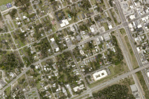 Satellite · reference point
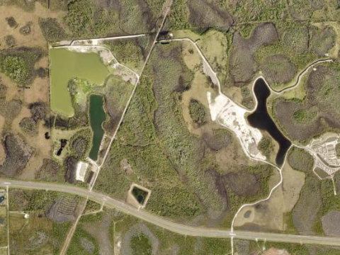 Satellite · application area
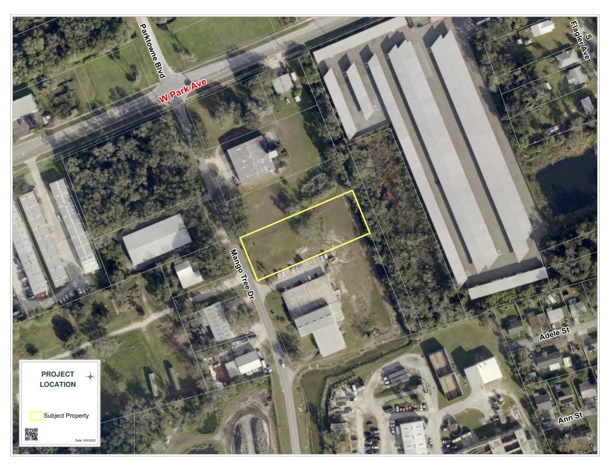 Satellite · city outline
Expand for details6 records · 1 vote record · map & project info
Timeline and votes
Decisions & project history
Newest firstProject engineer · Applicant response
Engineer submits revised drainage calculations
Record details & sources
The engineer submitted a response to the district’s November 3 questions, saying the runoff calculations were reconciled and explaining the proposed work beneath the stormwater pond. The response says a signature form will be submitted. District acceptance is not established; application 254166-1 remains pending.
St. Johns River Water Management District
District requests corrected drainage plans
Record details & sources
District staff asked the applicant for 254166-1 to provide verifiable signatures and reconcile stormwater calculations, including runoff from the building and sidewalk and the proposed work beneath the pond. The application remains pending.
St. Johns River Water Management District · Filed record
Engineer submits revised drainage plans
Record details & sources
The district document register dates receipt October 7. The response letter’s cover is dated September 24, 2026 and later page headers say September 26. It submits revised stormwater calculations, engineering plans and operation/maintenance material responding to the July 31 review. The district case remains pending; no final acceptance is established.
St. Johns River Water Management District · Filed record
Environmental application proposes 9,000-square-foot warehouse
Record details & sources
The application describes a roughly 9,000-square-foot warehouse with grading, paving, stormwater management and utility connections on 0.95 acres. Applicant and owner as filed: Williams Development Edgewater Bay 10 LLC. The matched county parcel and later documents identify the 191 Mango Tree Drive site.
Edgewater Development Services · Project update
Rollins Warehouse: city report update
Record details & sources
The warehouse layout was being reviewed.
Edgewater Planning and Zoning Board · Decision
Landscape-buffer variance approved · VA-2513
Approved 5–0Who voted?
Thomas Duane YESPatrick Fisher YESJames McGinnis YESChris Hatcher YESRobert Andrejkovics YESRecord details & sources
Photos and map
Photos & map

Project facts and sources
Project information & sources
- People & companies
Applicant and owner as filed: Williams Development Edgewater Bay 10 LLC. Construction contractor unconfirmed. Filed July 10 application ↗
- Approvals & permits
Warehouse site layout under review (September 2026 report).
- Size & completion
Project size: Roughly 9,000-square-foot warehouse on a 0.95-acre district project area.
Completion: See the dated approvals and project history.
- Things to know
Warehouse proposed · checked October 30. Williams Development Edgewater Bay 10 LLC applied July 10, 2026 for a roughly 9,000-square-foot warehouse, paving, drainage pond and utilities on 0.95 acres at 191 Mango Tree Drive. Water-district approval is pending. This is separate from the Rollins warehouse at 301 Base Leg Drive; the earlier landscaping exception is not a building permit. Live district case 254166-1
The response received October 7 supplies revised drainage plans and calculations, pond and overflow details, and maintenance documents in response to district questions. Those are the engineer’s responses, not a district finding that all issues are resolved.
VA-2513 concerns the side landscape buffer for this light-industrial/commercial-service site, parcel 7452-01-00-044A. A variance is a specific design exception, separate from a building permit.
New Construction of Warehouse. The warehouse layout was being reviewed.
- What happens next
The plans are under review.
- Sources
Sources checked: Oct 23, 2026
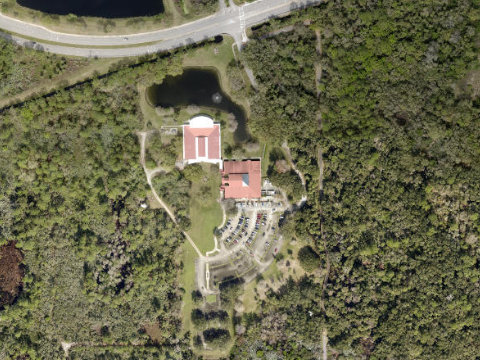 Satellite · reference point
Expand for details8 records · map & project info
Timeline and votes
Decisions & project history
Newest firstThomas & Hutton · Response to agency comments
Engineer submits responses and revised technical documents
Record details & sources
A response letter dated November 3 addresses the district’s wetland, wildlife, drainage and stormwater-harvesting comments and refers to revised plans and reports. It says the college co-applicant signature will be supplied separately. The district lists this response in its file on November 4; a response is not agency acceptance or permit issuance. The exact case remains Pending at the November 10 check.
Original response letter · dated November 3, filed November 4 ↗
District case file · Deadline reminder
Information-response deadline reminder entered in case file
Record details & sources
The October 26 case document reminds the applicant that the August 5 information request was approaching its 90-day response deadline. It describes the option to request more time or withdraw and reapply. The reminder is not a withdrawal, denial or granted extension.
St. Johns River Water Management District · Correspondence
District explains information needed for proposed pond liners
Record details & sources
In project correspondence, district staff requested plan and cross-section details showing the elevation of the confining layer and support for its continuity where pond liners are proposed. This engineering request is not a permit issuance.
St. Johns River Water Management District · Information request
District asks for wetland, eagle-nest and drainage details
Record details & sources
The district requested additional information on wetland boundaries and impacts, buffers, mitigation and stormwater design, and asked whether the proposal falls within 660 feet of a bald-eagle nest. It also required the college landowner to be added as a co-applicant. These are review questions, not findings that all impacts are approved.
St. Johns River Water Management District · Application received
School environmental application received
Record details & sources
The district received application 254137-1 for a school site, utilities and stormwater work. Filing the application does not establish city approval or an issued environmental permit.
Daytona State College · Trustees
Trustees approve Aera’s private-school ground lease
Record details & sources
Trustees unanimously approved a ground lease with Aera Foundation, Inc., for construction and operation of a private grades 6–12 school on the New Smyrna Beach/Edgewater campus. The minutes name Freckleton and Dye on the motion and describe a 51-year term. The lease approval does not itself establish an issued environmental or construction permit.
Daytona State College · Trustees retreat
Trustees discuss and decline support for college charter sponsorship
Record details & sources
The retreat minutes describe discussions with Southeast Volusia School of Science & Technology about a grades 6–12 campus facility. After reviewing the responsibilities, the board was not supportive of the college becoming a charter-school sponsor. This sponsorship discussion is separate from a land lease or construction-permit decision.
Original trustees retreat minutes · Charter School discussion ↗
Daytona State College · Trustees
Trustees approve a predecessor school land lease
Record details & sources
The college’s August 19 announcement reports that trustees unanimously approved a 51-year campus land lease on August 15 for Southeast Volusia School of Science & Technology. This is predecessor-project history: the later Aera lease identifies SEV’s intervening 2021 lease as the agreement it replaces. The 2019 hoped-for fall 2020 opening was a target, not evidence that a school opened.
Photos and map
Photos & map
Satellite view of the college campus address at 940 Tenth Street. Marker identifies the county address point, not the proposed school footprint; imagery date unverified. Imagery: Esri, Maxar, Earthstar Geographics and the GIS User Community. Open satellite image · Open mapped reference
Project facts and sources
Project information & sources
- Approvals & permits
Trustees approved the school ground lease in November 2024. Environmental review remains pending; the engineer answered agency comments in a letter dated November 3, 2026. An issued environmental permit, construction authorization and school opening remain unconfirmed.
- Size & completion
The application covers 11.51 acres within the larger college property. It does not establish enrollment, a construction start or an opening date.
The submitted ground lease describes approximately 30 acres and phased school facilities of up to 125,000 square feet; those lease terms are distinct from the 11.51-acre environmental application and do not establish an approved building footprint or enrollment. Submitted school ground lease ↗
- Things to know
The proposal uses leased college property. Aera Foundation is the applicant; the college is the landowner. The whole-campus map does not show the exact school footprint.
The lease identifies Southeast Volusia School of Science & Technology’s 2021 lease as its predecessor. Its recital and the college’s 2019 announcement document earlier school plans; they do not establish that the earlier proposed opening occurred. Ground lease · predecessor recital ↗
The submitted lease describes an intended partnership with the nonprofit Civica Inc. school network and an advisory role for Southeast Volusia School of Science & Technology. It permits a private grades 6–12 school, with possible charter operation only if separately approved. The lease allows, but does not require, a separate agreement for college dual-enrollment courses. Submitted college ground lease ↗
The lease calls for $75,000 annual ground rent beginning with the July 2025–June 2026 lease year, subject to offsets for eligible dual-enrollment costs and later rent adjustments. This is a lease obligation, not evidence of a payment or a school construction budget. The application names Thomas & Hutton Engineering as consultant and permitting agent, and Biological Consulting Services as environmental consultant. Submitted college ground lease ↗ · Filed environmental application ↗
- What happens next
Further agency review and any required local approvals remain separate steps.
- Sources
Sources checked November 6, 2026.
District case 254137-1 · Original application
Additional original school, agency and submitted parcel records checked November 10, 2026. Their dated actions and limits are recorded separately above. This review does not establish a construction start, opening, completion or a complete acquisition-through-current history.
Additional school partnership, lease-payment and consultant details read November 15, 2026 in the submitted lease and application. Submitted college ground lease ↗ · Filed environmental application ↗
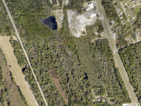 Satellite · application area
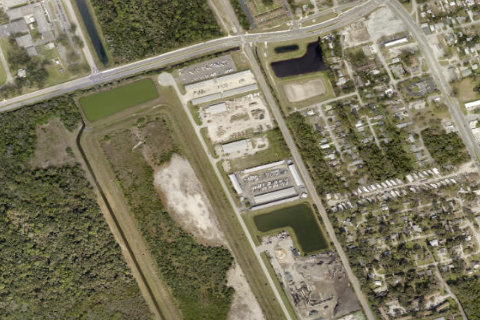 Satellite · reference point
Expand for details5 records · map & project info
Timeline and votes
Decisions & project history
Newest firstFlorida Division of Historical Resources
State review finds historic properties unlikely to be affected
Record details & sources
The state historic-preservation office lists application 65055-47 among projects it considers unlikely to affect historic properties. It asks that any permit include protections for unexpected archaeological discoveries. This is a historic-resource review, not an environmental permit or construction approval; the district application remains pending.
St. Johns River Water Management District · Filed record
District requests model corrections and a major-modification application
Record details & sources
Staff requested clearer pond locations and consistency between drainage models and prior permitted calculations. The letter classifies the proposal as a major modification and requests a complete application and additional fee. The later live record’s approval recommendation remains distinct from permit issuance.
St. Johns River Water Management District · Filed record
Engineer corrects project acreage to 7.96 acres
Record details & sources
The response says 77.95 acres was a typo and gives 7.96 acres as the correct application area. It also submits model inputs and references an August 23 inspection report. Those are submitted materials, not an independent completion finding.
Original district document ↗ · Original supporting document ↗
St. Johns River Water Management District · Filed record
City files the Pond 3 drainage modification
Record details & sources
Application 65055-47 modifies the industrial park’s earlier permit 65055-5. It proposes outlet changes and use of Timaquan Trail’s existing swales to redirect Pond 3 runoff toward Pond 2 instead of the G11 canal.
St. Johns River Water Management District · Filed record
Technical memo describes the proposed flood-reduction retrofit
Record details & sources
The engineer’s memo describes redirecting Pond 3 drainage away from G11 while maintaining permitted peak runoff rates and stormwater treatment. This is the design’s stated purpose, not a verified outcome.
Photos and map
Photos & map
Project facts and sources
Project information & sources
- Approvals & permits
District record shows an approval recommendation in routing; permit still pending.
- Size & completion
Project size: 7.96-acre drainage-modification application. The engineer’s September 10 correction identifies the earlier 77.95-acre figure as a typo.
Completion: See the dated approvals and project history.
- Things to know
The City of Edgewater’s application 65055-47, received June 16, 2026, concerns the existing industrial park’s drainage system. The October 31 live district search shows an approval recommendation and an In Routing workflow, while permit status remains Pending with no issue or decision date. A recommendation is not an issued permit.
Mead & Hunt’s May 28 technical memo describes raising the existing northern control structure, moving Pond 3’s discharge from the east side to a new western spillway, and routing runoff through existing swales along Timaquan Trail toward Pond 2 and the G3 drainage system. The stated aim is to divert runoff away from the G11 canal as part of a broader effort to reduce flooding. Completion and actual flood-reduction performance have not been verified.
The June form and resubmitted form state 7.96 acres. In a September 10 response the engineer explicitly calls 77.95 acres a typo and identifies 7.96 acres as the intended project area. The live search description still contains 77.95 acres, so this card keeps the dated correction visible rather than treating that stale description as a new large development.
An October 9 district letter requested drainage-model corrections and a complete application, classifying the proposal as a major modification. The later routing/recommendation does not establish that construction has started or every question has been resolved in a final decision. Construction contractor, cost, start date and completion date remain unconfirmed. This is a city drainage retrofit, separate from the individual warehouse cards sharing master permit 65055.
The pin represents the approximate district-mapped application area; it is not a verified Pond 3 center, surveyed boundary or full drainage service area.
The submitted design sends Pond 3 overflow through a 30-inch pipe across Timaquan Trail, then through the existing west-side swales to a new inlet connecting to a 38-by-60-inch concrete pipe into Pond 2. It retains the existing small outlet opening to avoid bypassing treatment in Pond 3. The memo identifies about 28.5 acres draining to Pond 3; that tributary area is separate from the corrected 7.96-acre application area. These are proposed design details. Original drainage technical memo · page 8 ↗
- What happens next
The district still needs to issue its final permit decision. The recorded approval recommendation and routing status are separate from an issued permit or a construction start.
- Sources
Sources checked: Sources checked Oct 31, 2026
Additional pipe dimensions and tributary-basin scope read November 15, 2026 in the submitted technical memo. Original drainage technical memo · page 8 ↗
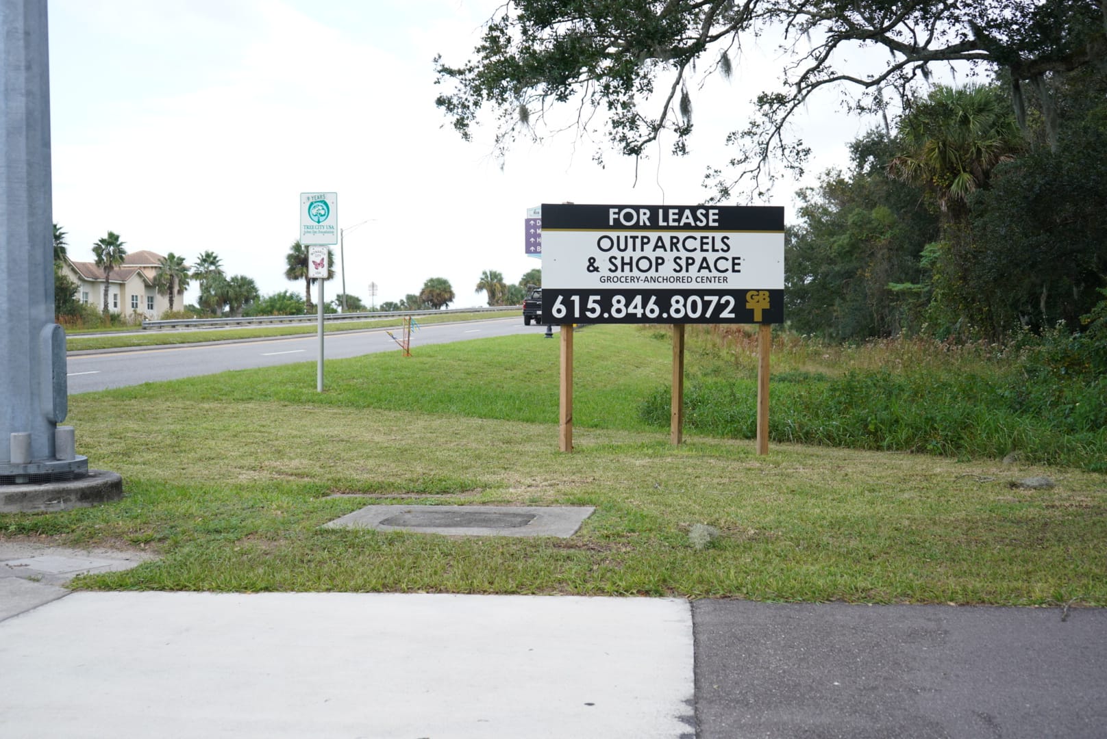 2 photos
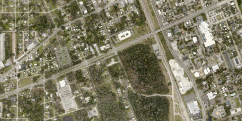 Satellite · reference point
Expand for details59 records · 2 vote records · 2 photos · map & project info
Timeline and votes
Decisions & project history
Newest firstSt. Johns River Water Management District
District issues environmental permit
Record details & sources
The district issued individual environmental permit 254237-1 for Shops of New Smyrna Beach on November 3. The district letter says any required local, state or federal permits are separate.
New Smyrna Beach City Commission · Site-plan decision
City confirms shopping-center site plan approval
Record details & sources
The city’s October 28 meeting recap confirms that commissioners approved the site plan for Shops of New Smyrna Beach at the October 27 meeting. This establishes the outcome of the previously scheduled hearing. The recap does not list individual ballots or final motion conditions. Site-plan approval does not establish issued building permits, completed construction or a store opening date.
New Smyrna Beach City Commission · Scheduled hearing
City hearing scheduled for October 27
Record details & sources
The City Commission is scheduled to consider the shopping center’s detailed layout on October 27. City planning staff recommend approval with conditions. As of the October 24 source check, the hearing had not happened and the Commission had not decided this application. Case: SP-08-26.
New Smyrna Beach city map · Source snapshot
City map lists the shopping-center hearing
Record details & sources
At the October 24 check, the city map listed a proposed retail and grocery development and an October 27 Commission meeting. Staff were preparing the agenda. This map update does not mean the project received approval. Case: SP-0008-2026.
St. Johns River Water Management District · Review update
Environmental questions answered; state drainage review continues
Record details & sources
The St. Johns River Water Management District said its environmental questions had been answered. Its engineers were still reviewing the October 12 response and expected to reply by the second week of November at the latest. The permit was still pending at the October 24 check. The estimate concerns the review, not a store opening.
New Smyrna Beach · Tenant permit workflow
T.J. Maxx plans still need work before a permit can be issued
Record details & sources
The city marked a building-permit review step “Not Passed” on October 22, and the application remains under review. Fire reviewers requested emergency-lighting corrections and separate permits for sprinklers and alarms. This is a request to address the plans, rather than rejection of the shopping center.
New Smyrna Beach · Site-plan engineering review
City engineers approve their part of the shopping-center layout
Record details & sources
City engineers approved their review on October 22, following Building Department approval on September 23. Planning reviews and requested fire-safety changes were still unresolved in the checked record. The water district’s drainage review and the Commission’s layout decision are separate steps.
New Smyrna Beach · Fire review
Fire reviewers request changes to the T.J. Maxx plans
Record details & sources
Fire reviewers requested emergency lighting that meets the rules and noted that sprinklers and fire alarms need separate permits. The fire review finished October 21; the application was marked for resubmission October 22. The developer needs to submit corrected plans.
New Smyrna Beach · Shell permit workflow
T.J. Maxx building permit still awaits utility paperwork
Record details & sources
The city’s permit checklist marked the utility-receipt step “Not Passed” on October 16, and no permit issue date was shown. This is a paperwork requirement. It does not mean a completed utility system failed inspection.
New Smyrna Beach · Tenant review record
One part of the T.J. Maxx interior review is approved
Record details & sources
Building reviewers approved their part of the T.J. Maxx application on October 15. Fire reviewers later requested changes. Approval of this one review did not issue the overall building permit.
St. Johns River Water Management District · Review update
Applicant supplies a missing environmental form
Record details & sources
At 12:30 p.m., water-district staff said several environmental questions were answered but a required form, Section C, was missing. The applicant sent it at 12:49 p.m., and staff acknowledged receipt at 12:56 p.m. Engineering review continued; this exchange did not issue the permit.
Kimley-Horn · Response to state questions
Applicant answers state questions and proposes a November 5 purchase closing
Record details & sources
The applicant proposed November 5, 2026 for completing the property purchase. Its response also updated the applicant and maintenance organization, described about 0.14 acres of wetlands, and supplied revised drainage calculations. The water district received it October 12. The proposed closing date does not confirm a completed sale.
Purchase-contract assignment filed with St. Johns River Water Management District
Purchase-contract rights move to the project company
Record details & sources
Franklin Land Associates, LLC transferred its rights and obligations under the March 13, 2025 purchase contract to PX FL NEW SMYRNA SPT, LLC. Transferring a contract is separate from completing the land purchase.
New Smyrna Beach · Fire/site-plan review
Fire reviewer asks for proof that a fire truck can turn through the site
Record details & sources
The city requested a vehicle-turning calculation for a Sutphen SPH100 fire truck and asked for revised plans. Other planning reviews were approved September 18 and October 8. The checked record does not show that the fire-truck access issue has been resolved.
Kimley-Horn · Drainage calculations
Developer updates the stormwater-drainage calculations
Record details & sources
Kimley-Horn updated calculations for storing stormwater, letting it soak into the ground and restoring storage space after rain. The package is dated October 6, signed October 10 and filed with the October response. These are calculations submitted for review, rather than agency approval or proof the finished system will prevent flooding.
New Smyrna Beach · Shell review
City approves review of the proposed T.J. Maxx building structure
Record details & sources
The city approved the structural review on September 23, after fire, building and engineering reviews. This application covers the basic building before the store’s interior is fitted out. The later interior application is separate, and this review did not issue the building permit. Case: BLDC-00232-2026.
New Smyrna Beach · Site-plan review
City asks for revised shopping-center plans
Record details & sources
The first layout review, submitted July 6, was marked for resubmission on September 17. A new submission arrived that day and remained under review, with an internal deadline of October 30. That staff deadline is separate from the October 27 Commission hearing.
Kimley-Horn · Drainage design
Revised drainage plan uses a pond and underground storage
Record details & sources
The September 16 report, signed September 17, proposes a pond that drains between storms and underground chambers. Its calculations estimate slower stormwater discharge, containment of a 100-year storm and treatment to reduce nutrients. It lists 0.198 acres of wetlands; an October 9 response lists about 0.14 acres. Those are different dated submissions. The calculations are predictions, rather than measurements of a completed system.
New Smyrna Beach · Permit workflow
Sprouts passes a review step; building permit still not issued
Record details & sources
The Sprouts application passed a building-permit review step on September 14, but the checked record showed no permit issue date. A separate 7,200-square-foot retail-building application also completed structural review that day, following fire, building and engineering reviews. The Sprouts contractor was still listed as “To Be Determined.”
New Smyrna Beach · Tenant application
Application filed to fit out the T.J. Maxx interior
Record details & sources
Application BLDC-00281-2026 proposes fitting out 20,000 square feet inside the T.J. Maxx building, with a declared work value of $840,000. It was still under review, with no permit issue date, at the October 24 check. The application supports the planned tenant but does not provide an opening date.
New Smyrna Beach · Shell review
Another retail building completes review; permit still not issued
Record details & sources
Application BLDC-00221-2026 completed structural review September 4, following fire, engineering and building reviews. Its overall status still showed fees paid, with no permit issue date. This concerns a basic retail building before its interior is fitted out.
Florida Division of Historical Resources · Review
State review finds effects on historic properties unlikely
Record details & sources
The state historic-preservation office listed this project among those unlikely to affect historic properties. It asked for work to stop and authorities to be notified if unexpected artifacts or human remains are found. The letter is a historic-preservation review, rather than a construction permit. Letter: 202604363-A; application: 254237-1.
Project company · Records filed with the water management district
Project company is formed and registered
Record details & sources
PX FL New Smyrna SPT, LLC was formed in Delaware August 3 and registered in Florida August 4, according to documents filed with the water district. The company later received the purchase-contract rights. These company filings do not confirm that the land purchase closed.
Kimley-Horn · Technical report
Traffic study estimates 3,555 added vehicle trips a day
Record details & sources
The revised study estimates 3,555 new daily trips entering or leaving the development after accounting for drivers already passing the site. It includes 181 trips during the morning peak hour and 327 during the afternoon peak hour. The study identifies an existing capacity problem at State Road 44 and Mission Drive and assumes state road improvements. It also models possible uses on smaller commercial parcels, rather than confirming additional tenants.
New Smyrna Beach · Building application
Application filed for a fourth building
Record details & sources
Application BLDC-00232-2026 was submitted July 30 for the Sprouts Shopping Center. At the October 24 check, its status showed fees paid but no permit issue date. It concerns the basic building before interior work.
Sliger & Associates · Survey update
Surveyors locate the wetland boundary on the ground
Record details & sources
Sliger’s revised survey says it located the wetland boundary July 27 using markers placed by Lord & Winter. Later notes describe August 31 corrections to property-title details and September 10 proposed access or use rights across the land. These survey updates do not approve filling wetlands or confirm that the proposed rights were legally recorded.
St. Johns River Water Management District · Request for additional information
Water district requests more information before deciding the permit
Record details & sources
The district asked nine sets of questions about property rights, applicant authority, wetlands, habitat, historic resources and drainage. The drainage questions address how water soaks into the ground, how quickly storage becomes available after rain and how runoff is treated. The permit still needed a separate decision.
New Smyrna Beach · Building applications
Applications filed for Sprouts and two retail buildings
Record details & sources
Application BLDC-00219-2026 covers the proposed Sprouts building; BLDC-00220-2026 and BLDC-00221-2026 cover basic retail buildings before their interiors are fitted out. All three showed fees paid and no permit issue date at the October 24 check. Applications and review fees do not authorize construction.
St. Johns River Water Management District · Wetland check
Water district accepts the surveyed wetland boundary
Record details & sources
The district’s later letter records a July 21 site visit and acceptance of the wetland boundary. Staff still needed the surveyed line, acreage and information about proposed impacts. Accepting the boundary did not give permission to fill wetlands.
St. Johns River Water Management District · Agency comments
Water district sends the application to other agencies for comment
Record details & sources
The district notified historic-preservation, wildlife and coastal-review agencies about application 254237-1. These notices requested comments; they were not agency approvals. A fee receipt issued the same day records payment for the application, rather than permit approval.
St. Johns River Water Management District · Application
State receives the shopping center’s stormwater-permit application
Record details & sources
The water district received application 254237-1 for the 11.37-acre Shops of New Smyrna Beach. The checked record lists PX FL New Smyrna SPT, LLC as applicant and NSB 103 Development LLC as owner. At the October 24 check, the permit was pending and had no issue date.
Kimley-Horn · Proposed maintenance plan
Developer prepares a drainage-maintenance plan
Record details & sources
The July 6 manual, signed July 13, calls for removing debris, checking stormwater-control structures twice a year and inspecting drainage yearly. It describes an early underground-chamber design that later October submissions proposed changing. Blank inspection forms in the manual do not show that construction or inspections occurred.
New Smyrna Beach · Site-plan application
Shopping-center layout application submitted to the city
Record details & sources
Application SP-0008-2026 proposes the Sprouts development southeast of Lytle and South Myrtle. The permit system uses 505 10th Street, while city reports use 507 South Myrtle; the case number and project description identify the same development on the parent parcel. The checked application remained under review with no completion date.
City / Florida Department of Transportation · Applicant response
Developer responds to city and state traffic questions
Record details & sources
Kimley-Horn answered city comments from June 17 and Florida Department of Transportation comments from June 23. The response discusses where traffic would go, the trail crossing, Canal Street’s role and how the traffic analysis was done. This response letter is separate from a state road-construction permit.
Kimley-Horn · Initial stormwater submission
Developer prepares the first stormwater-drainage calculations
Record details & sources
The first drainage report and tables are dated June 17. The report was signed June 26 and filed with the July state application. Later October submissions changed the wetland, water-storage and drainage assumptions. These are the developer’s calculations, rather than state approval findings.
Lord and Winter · Wetland report
Consultant maps wetlands for the shopping-center proposal
Record details & sources
Lord and Winter prepared a report identifying wetlands in the shopping-center portion of the Endsley Station property. It helps determine wetland boundaries and which agencies regulate them. The report does not allow filling wetlands. Later state submissions describe about 0.14 acres of proposed permanent wetland fill.
Original public record
PUD-0008-2025: review round 3 — approved
Record details & sources
The city records review round 3 as “Approved”, following the submission received 2026-03-24. This is a planning review milestone; building permits and construction completion are separate.
Kimley-Horn · Traffic study
Study records vehicle speeds on Myrtle Avenue
Record details & sources
Sensors near Cavedo Street recorded speeds over three days. Average speeds were 26 mph in each direction in the posted 30-mph area. About 85% of vehicles traveled at or below 31 mph northbound and 29 mph southbound. These measurements describe the study period, rather than future traffic conditions.
City Commission · Decision
Commission approves the shopping site’s development-rule change
passed by 4-1 majority vote, with Commissioner Martin voting no.Who voted? · expressly recorded in the minutes
Lisa Martin NOThe minutes record a 4–1 result and name Commissioner Lisa Martin as voting no. They do not list the other individual ballots, so those votes are not assigned here.
Record details & sources
Ordinance 24-26 changed the site’s zoning rules. Vice Mayor Jason McGuirk proposed approval and Commissioner Valli Perrine seconded it. The approval required the City Commission to approve the detailed site plan separately; this zoning vote did not approve that layout or issue a building permit.
City Commission · First reading
Commission begins reviewing the proposed development-rule change
Record details & sources
The city attorney read Ordinance 24-26 by title at its first reading. The minutes scheduled a second reading and public hearing for May 12. They record no project-approval vote at this April 14 step.
New Smyrna Beach Planning & Zoning Board · Recommendation
Planning board recommends the development-rule change, 4–1
Record details & sources
The planning board recommended approval of application PUD-0008-2025 by 4–1, with Hall voting no. McKenna proposed the motion and Causey seconded it. The original minutes date this April 6, 2026; a later staff report gives April 7, 2025. This timeline follows the original minutes. Other members’ individual votes are not identified here.
Archaeological Consultants, Inc. · Historic-resource report filed with the water management district
Archaeologists complete the historic-resource survey
Record details & sources
The consultant found railroad-era artifacts but concluded that none of the resources in the study area appeared eligible for the National Register of Historic Places. It recommended no further work. The state’s separate review came in August. The report covers 11.46 acres and contains conflicting compass directions, so its location wording does not replace the city parcel map.
Kimley-Horn · Traffic-study plan submitted to the city
Developer submits its plan for studying traffic
Record details & sources
The later August report says the traffic-study method was submitted to the city March 30. The study covers intersections along State Road 44, South Myrtle, 10th Street and Canal Street. Submitting the study method is a review step, rather than project approval.
Original public record
PUD-0008-2025: review round 2 — requires re-submit
Record details & sources
The city records review round 2 as “Requires Re-submit”, following the submission received 2026-01-30. This is a planning review milestone; building permits and construction completion are separate.
City Commission · Decision
City approves removal of two poor-condition trees and changes protection for a third
Passed 4–1 · reported in the April staff reportRecord details & sources
EnvironmentHistoric treesThe April staff report describes permission to remove two trees in poor condition and to relax root-protection requirements for healthy Tree #7, which would remain in a landscaped island. A city recap instead describes three removals. The February minutes do not give the motion’s wording. The sources therefore do not confirm that three trees were cut down.
New Smyrna Beach · Application record
Application submitted to remove protected trees
Record details & sources
Application HTR-0001-2026 was submitted January 30. The city lists it as approved and closed the administrative case March 5. The public hearing was February 24. The case-closing date is separate from the hearing date.
Original public record
PUD-0008-2025: review round 1 — requires re-submit
Record details & sources
The city records review round 1 as “Requires Re-submit”, following the submission received 2025-11-17. This is a planning review milestone; building permits and construction completion are separate.
Sliger & Associates · Property survey filed with the water management district
Survey identifies the 11.37-acre shopping-center parcel
Record details & sources
Sliger’s map is dated November 24, following July 30 fieldwork. It identifies the shopping parcel and lists existing title issues, including two 2022 environmental restrictions, utility and access rights, and transferred development rights. Its title information dates to July 7, 2025. It is not a current ownership search or a county-filed subdivision map.
Original public record
PUD-0008-2025: review submission 1 received
Record details & sources
The city received submission 1 for site plan/plat review. The round later completed 2026-01-27 with status “Requires Re-submit”.
New Smyrna Beach · Application record
Shopping-center development-rule application submitted
Record details & sources
The city lists October 15 as the submission date for application PUD-0008-2025 and April 14, 2026 as its administrative completion date. The Commission’s original minutes separately confirm final approval of the zoning change on May 12.
St. Johns River Water Management District
Early state consultation ends without issuing a permit
Record details & sources
The water district closed its early consultation on September 10 with the status “Never Issued.” Closing this preliminary discussion did not issue an environmental permit.
St. Johns River Water Management District
Developer starts early discussions with the water district
Record details & sources
The district received preliminary application 240401-1 for New Smyrna Beach Sprouts at 507 Myrtle Avenue. This early consultation did not allow construction to begin.
ECS Florida · Applicant-filed technical report
Soil-engineering report calls for separate contamination checks
Record details & sources
ECS Florida’s report refers to a May 30 environmental investigation and says further investigation or cleanup may be needed. ECS did not itself evaluate possible contamination and recommended determining its extent. The report neither clears the site as cleaned up nor establishes contamination across the entire shopping-center site.
NSB 103 Development / Franklin Land Associates · Contract amendment
Purchase agreement expands the shopping site to 11.37 acres
Record details & sources
A contract change increased the area to be purchased from 7.94 to 11.37 acres. It also required the buyer to pursue an overall plan for the 102.71-acre parent property, with seller approval for restrictions on the land the seller would keep. The price is hidden in the public copy. This contract change does not confirm a completed sale.
Purchase-contract documents
Purchase contract signed before the shopping-center application
Record details & sources
An October 8, 2026 document identifies a March 13, 2025 purchase contract between NSB 103 Development LLC and Franklin Land Associates, LLC. The later document transfers contract rights; it does not confirm that the property purchase closed.
Property records · Environmental restrictions
Earlier restrictions limit groundwater use and drainage work in defined areas
Record details & sources
Parts of the former railway yard have restrictions on groundwater, wells and drainage work. We have not confirmed how much of the shopping-center site those restrictions cover or whether they have been lifted. Record: instrument 2022125183, Book 8259, page 882.
Property records · Environmental restrictions
Environmental restrictions filed for parts of the larger property
Record details & sources
A recorded agreement between NSB 103 Development LLC and the state environmental agency sets restrictions on defined portions of the former Florida East Coast Railway South Yard. It concerns a discharge reported in 1988 and groundwater contamination documented in later studies. The agreement refers to a possible conditional cleanup-completion order; it is not that order or an unrestricted cleanup clearance. The restricted areas have not been independently mapped against today’s retail footprint. Record: instrument 2022096647, Book 8242, page 1411.
Volusia County Property Appraiser · Filed snapshot
County record lists a $2.3 million sale of the larger property
Record details & sources
The property-appraiser record filed with the state application lists a July 22, 2015 sale involving several parcels for $2.3 million. That price covers the larger property holding, rather than just the 11.37-acre shopping site. This filed record does not provide the property’s complete ownership history. Record: instrument 2015137301, Book 7143, page 4734.
Volusia County · Property and recording history
Larger property purchase appears in county records
Record details & sources
The county property record lists the multi-parcel sale for $2.3 million on July 22, 2015. The deed was recorded July 28, from FDG Rail Holdings 8 LLC to NSB 103 Development LLC. This concerns the larger property, rather than the purchase price of the shopping center alone. Record: instrument 2015137301, Book 7143, page 4734.
Photos and map
Photos & map
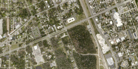


Project facts and sources
Project information & sources
- People & companies
Developer GBT Realty Corporation; listed owner NSB 103 Development LLC; current state applicant PX FL New Smyrna SPT, LLC; civil engineer Kimley-Horn. The Sprouts building application names Cuhaci Peterson as architect and lists the contractor as To Be Determined. A proposed November 5 purchase closing is not a completed transfer.
Original city case SP-0008-2026 lists Applicant: scott cole; Applicant: Kimley-Horn and Associates, Inc.; Engineer: Kimley-Horn and Associates, Inc.; Owner: NSB 103 DEVELOPMENT LLC. These are application-contact roles, not a verified deed transfer or awarded construction contract. City contact record ↗ (checked November 5, 2026).
Original city case PUD-0008-2025 lists Applicant: scott cole; Owner: NSB 103 DEVELOPMENT LLC. These are application-contact roles, not a verified deed transfer or awarded construction contract. City contact record ↗ (checked November 5, 2026).
- Approvals & permits
The City Commission approved the site plan October 27, according to the city’s October 28 recap. The district issued its environmental permit November 3. Building-permit issuance, final motion conditions and construction completion are not established by the city recap.
Original case SP-0008-2026 (checked November 5, 2026): In Review. Filed 2026-06-29; parcel 741923000041. Planning-case status does not establish an issued building permit, a construction start or completed construction.
Original case PUD-0008-2025 (checked November 5, 2026): Approved. Filed 2025-10-15; parcel 741923000041. Case-completion date: 2026-04-14. Approval expiration: 2031-04-14. Planning-case status does not establish an issued building permit, a construction start or completed construction.
SP-0008-2026 — submission 2, received 2026-09-17: Building department: Approved (2026-09-23); Engineering: Approved (2026-10-22); Fire: Requires Re-submit (2026-10-08); Planning: Requires Re-submit (2026-11-03); Planning: Approved (2026-09-18); Planning: Approved (2026-10-08); Planning: Approved (2026-10-26). These are the latest listed submission’s department review steps, not building permits. Original department reviews ↗ (checked November 5, 2026).
PUD-0008-2025 — submission 3, received 2026-03-24: Building department: Approved (2026-03-30); Engineering: Approved (2026-04-03); Fire: Approved (2026-03-31); Planning: Approved (2026-03-25); Planning: Approved (2026-05-19); Planning: Approved (2026-05-26). These are the latest listed submission’s department review steps, not building permits. Original department reviews ↗ (checked November 5, 2026).
Scope of the 2026-03-25 planning sign-off for PUD-0008-2025: the reviewer’s comment identifies building elevations and colors. This is an architectural appearance review, not an overall construction approval. Original review scope ↗.
- Size & completion
Project size: Shopping-center proposal on 11.37 acres.
Completion: See the dated approvals and project history.
A shopping project, so it adds no homes to this total.
- Things to know
Shops of New Smyrna Beach at 507 South Myrtle Avenue, immediately south of the State Road 44 overpass. The October site-plan report describes about 63,170 square feet of commercial space, including a 23,262-square-foot Sprouts, other retail and future outparcels. Earlier marketing and permit applications use different areas; those dated figures are not interchangeable.
Zoning passed May 12, 4–1. The October 27 site-plan hearing has since resulted in city approval, and the district environmental permit was issued November 3. Earlier dated records remain in the timeline. Building permits, construction dates and store-opening dates are not confirmed.
Roads, drainage, trees and proposed conditions
The October staff report proposes two northbound left-turn lanes and one northbound right-turn lane on Myrtle at State Road 44; enhanced trail crossings; and developer-funded neighborhood traffic calming, with locations and designs to be agreed with residents and city engineering. These commitments remain subject to final engineering and required permits.
Stormwater plans use a dry-retention pond and underground chambers, modeled for the city’s 25-year and 100-year design storms. Model results do not guarantee that flooding cannot occur. The site has former railroad-use and remediation history; this is not a certification that the entire parent property is free of contamination.
Recommended conditions cover remaining technical requirements, outside-agency permits, Florida Vernacular architecture, roadway work, neighborhood traffic calming, historic-tree protection, city review of material plan changes, and perpetual private stormwater maintenance.
Record conflicts retained: the October report’s planning-board date is corrected here using the April 6, 2026 original minutes; the tree recap differs from the detailed April report; wetland and floor-area figures vary across dated submissions. No unverified contractor, opening date, completed land sale or permit issuance is supplied.
For SP-0008-2026, the October 8, 2026 fire review requested a turning-path calculation for the department’s specified fire truck. Original review comments ↗ — SP-0008-2026, checked November 5, 2026.
- What happens next
Required transportation work still needs the applicable City and FDOT engineering approvals. An approved site plan and district environmental permit do not establish that every construction authorization is issued.
- Sources
Sources checked: Oct 24, 2026
October 27 city outcome checked November 5, 2026 against the official October 28 city recap.
Original city applications and submission histories checked November 5, 2026. Case statuses and review dates are distinct from building permits and completed construction.
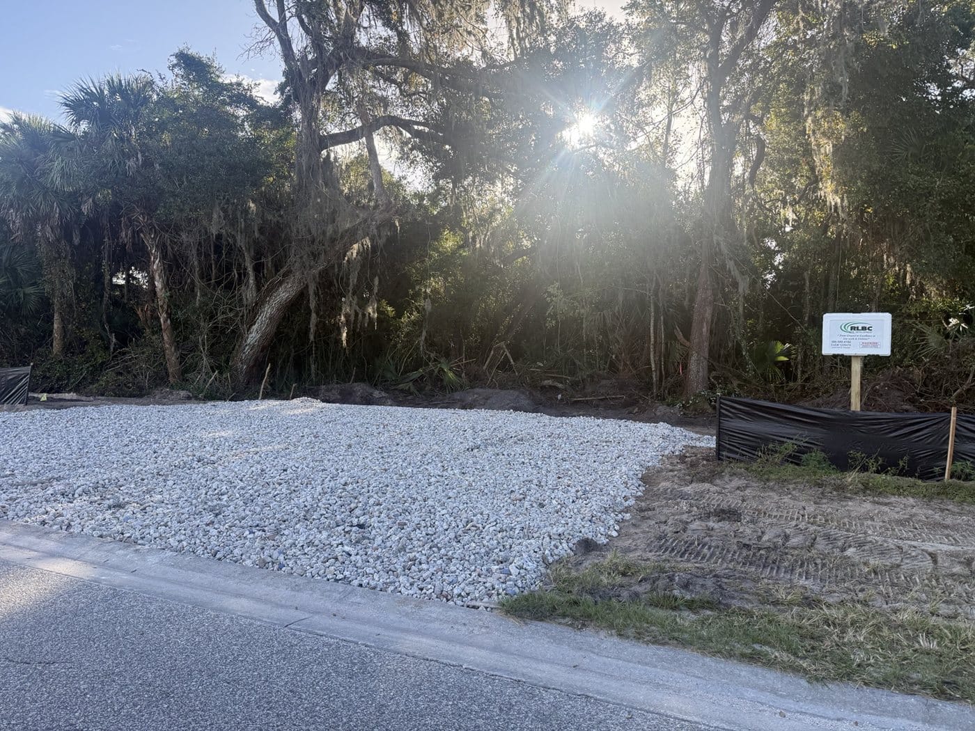 Photo
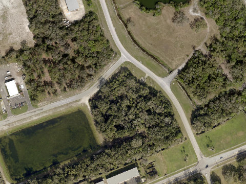 Satellite · reference point
Expand for details10 records · 1 vote record · 1 photo · map & project info
Timeline and votes
Decisions & project history
Newest firstFlorida Division of Historical Resources
State historic-resource comments added to district review
Record details & sources
The state historic-preservation office lists application 65055-52 among projects it considers unlikely to affect historic properties. It asks for protections if archaeological material is unexpectedly found. This limited review does not resolve the district’s separate drainage and wetland questions or establish an issued permit.
St. Johns River Water Management District
District requests more information on roadway and drainage
Record details & sources
District staff said application 65055-52 requires a major change to the previous permit. They requested a completed application, the fee balance, a site visit to check for wetlands, and clarification of a drainage connection. The application remains pending.
Owner field photos · Received date
Site photos added
Record details & sources
Owner photo shows a gravel construction entrance, erosion-control fencing and wooded ground across from the corner warehouse. No warehouse building is visible in this view. The photo does not establish the condition of the entire site. Capture date unavailable.
St. Johns River Water Management District · Application received
Warehouse stormwater modification filed under the master permit
Record details & sources
Application 65055-52 is titled “Massey Parcel Roadway Drainage & Utility Development.” Its October 3 cover letter identifies the actual site as 300 Base Leg Drive and proposes warehouse buildings and infrastructure. The live district status is Pending. This is the same site as this card, not a separate Massey development.
District application ↗ · Cover letter identifying 300 Base Leg Drive ↗
Edgewater Development Services · Project update
Williams Warehouse: city report update
Record details & sources
The warehouse layout was being reviewed.
Edgewater City Council · Decision
Removal of three historic live oaks approved · HT-2602
Approved 3–2Edgewater City Council · Individual votes
Diezel DePew NOCharlotte Gillis NOMike Thomas YESDebbie Dolbow YESEric Rainbird YESRecord details & sources
The Council approved the historic-tree removal request at 300 Base Leg Drive for the proposed flex warehouse. The case identifies three live oaks measuring 37, 40.5 and 42 inches in trunk diameter.
Official city record ↗Original Council minutes ↗Volusia County Property Appraiser · Parcel history
Warranty-deed transfer listed
Record details & sources
The county property appraiser lists a WD-WARRANTY DEED entry for parcel 7452220A0150 at book/page 8854 / 4059, instrument 2026089900. The listed amount is $700,000; the county classifies the entry as qualified and the parcel as vacant at that time. This index does not establish deed parties, transaction terms or a complete chain of title.
Volusia County Property Appraiser · Parcel history
Warranty-deed transfer listed
Record details & sources
The county property appraiser lists a WD-WARRANTY DEED entry for parcel 7452220A0150 at book/page 8720 / 1733, instrument 2025118820. The listed amount is $100; the county classifies the entry as unqualified and the parcel as vacant at that time. This index does not establish deed parties, transaction terms or a complete chain of title.
Volusia County Property Appraiser · Parcel history
Warranty-deed transfer listed
Record details & sources
The county property appraiser lists a WD-WARRANTY DEED entry for parcel 7452220A0150 at book/page 8718 / 3483, instrument 2025115912. The listed amount is $525,000; the county classifies the entry as qualified and the parcel as vacant at that time. This index does not establish deed parties, transaction terms or a complete chain of title.
Volusia County Property Appraiser · Parcel history
Corporation-deed transfer listed
Record details & sources
The county property appraiser lists a CPD-CORPORATION DEED entry for parcel 7452220A0150 at book/page 6816 / 4770. The listed amount is $100; the county classifies the entry as unqualified and the parcel as vacant at that time. This index does not establish deed parties, transaction terms or a complete chain of title.
Photos and map
Photos & map

Project facts and sources
Project information & sources
- Approvals & permits
Warehouse layout under review in September; Council approved historic-tree removal August 3.
- Size & completion
Project size: See the scope in What’s planned.
Completion: See the dated approvals and project history.
- Things to know
Field photo update: Owner photo shows a gravel construction entrance, erosion-control fencing and wooded ground across from the corner warehouse. No warehouse building is visible in this view. The photo does not establish the condition of the entire site. Photos received October 31, 2026; capture dates unavailable.
The historic-tree action identifies Williams Development Edgewater Bay 10 LLC at the same 300 Base Leg Drive site. It is a tree-removal approval, not proof that the warehouse construction is approved or complete.
New Construction of Warehouse. The warehouse layout was being reviewed.
- What happens next
The district requested a completed application, remaining fee, a wetlands site visit and clarification of a drainage connection. These outstanding environmental steps are separate from the city’s historic-tree decision.
- Sources
Sources checked: Oct 30, 2026
County parcel identity and transaction index checked November 10, 2026. Parcel 7452220A0150 (alternate key 6470260) is listed at 300 Base Leg Drive, Edgewater, with Williams Development Edgewater Bay 10 LLC as owner. Its abbreviated legal description identifies Lot A15, Parktowne Industrial Center. The county table is not a complete title chain; deed parties and boundaries require the recorded instruments. Vacant-property labels are historical tax-record classifications, not current construction findings. These parcel records do not establish a later permit-review status. County parcel record ↗
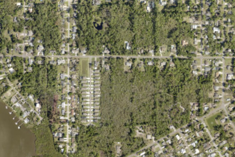 Satellite · reference point
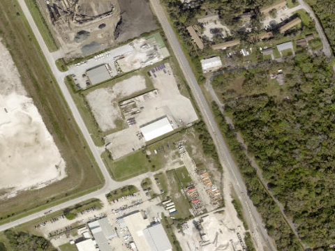 Satellite · reference point
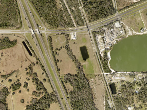 Satellite · reference point
Expand for details27 records · 5 vote records · map & project info
Timeline and votes
Decisions & project history
Newest firstSt. Johns River Water Management District
Both Grand Reserve district applications withdrawn
Record details & sources
The district confirmed the applicant withdrew the conceptual application 247859-1 and the individual application 247859-2 on October 30. The district lists both as Never Issued at the November 3 check. The letters cover these district applications. City rezoning and site-plan records remain separate.
Conceptual application letter ↗ · Individual application letter ↗
Applicant engineer · Response to district
Engineer explains proposed entrance improvements
Record details & sources
The engineer said the entrance work was within county and Florida Department of Environmental Protection rights-of-way, involved no more than 4,500 square feet of net new roof and pavement, included a drainage swale and shallow dry retention, and was about 475 feet upland from the nearest jurisdictional wetland. Civil drawings accompanied the reply. These are the applicant engineer’s statements; a district determination accepting an exemption was not located.
St. Johns River Water Management District · Public correspondence
Photos submitted for compliance review
Record details & sources
A resident supplied photographs of cones and activity near the entrance after district compliance staff requested documentation. The photos document the submission and visible conditions; they do not by themselves determine whether the work needed a permit or was exempt.
St. Johns River Water Management District · Compliance
District recommends construction cease pending authorization
Record details & sources
District compliance staff said no permit had been issued and the March requests remained unanswered. Staff recommended construction activities cease until proper authorizations were obtained and requested documentation about road installation. The correspondence is a staff recommendation; a formal stop-work order was not located.
St. Johns River Water Management District
District confirms both applications remain pending
Record details & sources
Responding to a public inquiry, district staff said both applications still awaited responses and that no other district permit for the property was found in that check. Staff noted that an exempt activity could be a separate question and referred potential work to compliance staff.
Edgewater Development Services · Project update
Grand Reserve Columbus: city report update
Record details & sources
Council approval is listed; the detailed building layout was still awaited.
St. Johns River Water Management District
Conceptual response extension granted
Record details & sources
The district granted another 90 days to answer its March 6 request for application 247859-1, setting September 2, 2026 as the new response date. This extension is not approval; later October correspondence confirms the applications remained pending.
St. Johns River Water Management District
Individual application response warning
Record details & sources
The district issued a 90-day response warning for individual application 247859-2. The district still lists the application as pending additional information at the October 24 check.
St. Johns River Water Management District
Conceptual application response warning
Record details & sources
The district issued a 90-day response warning for conceptual application 247859-1. A later extension letter sets a new response date; this warning is not a permit denial.
Florida Division of Historical Resources
Historic review finds no effect based on submitted information
Record details & sources
Florida Division of Historical Resources concluded that the proposed project would have no effect on historic properties based on the information submitted. It requested an inadvertent-discovery condition if a permit is issued, requiring disturbance near discoveries to stop pending review. This letter is a historic review, not construction authorization.
St. Johns River Water Management District
Phase-one application needs more information
Record details & sources
The district requested 22 items for application 247859-2, including wetland and stormwater information, construction plans, maintenance documents and evidence of local or Florida Department of Transportation authorization for work in public rights-of-way. It says this application cannot be finalized before final action on conceptual application 247859-1.
St. Johns River Water Management District
Conceptual application needs more information
Record details & sources
The district requested 17 items including the application fee, verified wetlands, impact reduction and mitigation, wetland hydrology, survey, conceptual stormwater plans and calculations, and a maintenance entity. It states that construction may not begin until a district permit is issued.
Florida Fish and Wildlife Conservation Commission
Wildlife agency provides bear-conflict advice
Record details & sources
Florida Fish and Wildlife Conservation Commission provided advisory recommendations to reduce conflicts with Florida black bears during planning, construction and operation. Its review cites 49 conflict reports and 13 road kills within roughly five miles during 2014–2024; these are regional figures, not incidents attributed to this project.
St. Johns River Water Management District
Two environmental permit applications received
Record details & sources
The district received conceptual application 247859-1 and individual application 247859-2 for the mixed-use development and stormwater system. The environmental narrative proposes three phases, 0.16 acre of direct wetland fill and 2.06 acres of other surface-water impact. It reports gopher tortoise burrows and recommends a current survey and permitted relocation before affected construction. These are application proposals, not authorized impacts.
Source record ↗ · Environmental narrative ↗ · Individual application ↗
Applicant engineer · Entrance drawings
Cow Creek entrance drawing revision
Record details & sources
Civil drawings supplied to the district in October 2026 include a December 3, 2024 revision responding to November 8 county comments, and list county use-permit number 2024-P-USE-0854. They depict entrance and intersection work; the drawing reference does not establish the permit’s issuance date or current status.
Edgewater Development Services · Historical report
Site plan still awaited
Record details & sources
The April 1 report lists Grand Reserve at 3338 West Indian River Boulevard with no site plan submitted. Earlier residential entitlements are a separate step.
Edgewater City Council
Council gives final approval to rules allowing a mix of uses
Approved 3–1 · one excused
Individual votes
Diezel DePew NOCharlotte Gillis YESGigi Bennington EXCUSEDDebbie Dolbow YESJonah Powers YESRecord details & sources
Council approved the zoning change 3–1, with one member excused. A detailed site plan was still outstanding in the September 2026 city report. The online case heading says “Failed,” but its later decision history records this approval.
Edgewater City Council
Council reopens the case and advances the development-rule change
Approved 4–1
Individual votes
Diezel DePew NOCharlotte Gillis YESGigi Bennington YESDebbie Dolbow YESJonah Powers YESRecord details & sources
After agreeing to consider the case again, Council voted 4–1 to advance the zoning change. The final review followed in December.
Edgewater City Council
Council agrees to reconsider the earlier rejected request
Rehearing approved 5–0
Individual votes
Diezel DePew YESCharlotte Gillis YESGigi Bennington YESDebbie Dolbow YESJonah Powers YESRecord details & sources
All five Council members voted to hear the zoning-change request again. This vote reopened the case; approval of the development rules required a separate vote.
Edgewater City Council
Council initially rejects the development-rule change
Approval motion fails 2–3
Individual votes
Diezel DePew NOCharlotte Gillis NOGigi Bennington YESDebbie Dolbow YESJonah Powers NORecord details & sources
The first motion to approve the zoning change failed 2–3. Council later reopened the case and ultimately approved the change.
Edgewater Planning and Zoning Board
Planning board supports up to 468 apartments and commercial land
Recommendation passes 6–0 · one absent
Individual votes
George Kennedy YESRobert Andrejkovics YESThomas Duane YESAlbert Amalfitano ABSENTEric Rainbird YESPaul Wright YESChris Hatcher YESRecord details & sources
The board recommended development rules allowing up to 468 apartments and four commercial parcels. The plan keeps more than 24 acres of wetlands.
Applicant · Overall development plan
Overall plan revision referenced in proposed agreement
Record details & sources
The proposed mixed-use agreement identifies an overall development plan last updated March 15, 2023. The rezoning proposal allows up to 468 apartments and four commercial parcels on about 96.2 acres. This plan reference does not establish detailed site-plan approval.
Edgewater Development Services · Historical report
Apartment and commercial agreement under review
Record details & sources
The city lists rezoning and development-agreement review for 468 apartments with commercial land along West Indian River Boulevard.
Volusia County · Traffic review reported by city
County traffic study approval reported
Record details & sources
The 2023 city staff report says Volusia County approved the traffic impact analysis on this date. It identifies required right- and left-turn lanes and says modeled road and intersection service levels would not be degraded. The underlying county approval letter was not located online.
Volusia County · Official records
Property transfer recorded
Record details & sources
Instrument 2021300299 was recorded in Book 8172, pages 2972–2973. The current county property record lists Grand Reserve Columbus LLC as owner.
Recorded deed
SILKCO conveys the property to Grand Reserve Columbus
Record details & sources
The special warranty deed conveys parcel 8408-00-00-0022 from SILKCO, LLC to The Grand Reserve Columbus, LLC. The recorded transfer amount is $4,225,000. The later 2023 planning staff report still names SILKCO.
Edgewater geographic information system · Annexation register
City map identifies earlier annexation · 94-O-17
Record details & sources
The city annexation layer places this property within the area labeled Ordinance 94-O-17 and dates that entry June 7, 1994. The linked original ordinance was unavailable during this review; its text and individual votes remain unverified.
Photos and map
Photos & map
Project facts and sources
Project information & sources
- People & companies
Owner: Grand Reserve Columbus LLC. Builder, full site-plan approval, a final state permit or entrance-work exemption decision, and construction completion are not confirmed in the records reviewed.
- Approvals & permits
Rezoning approved. The applicant withdrew both district applications on October 30. The last city update still listed the site plan as awaited and entrance work under review.
- Size & completion
Planned / reported: 468 reported homes
Cleared to live in: Not confirmed.
Homes sold: Not confirmed.
Reported project scope. A complete city list of homes cleared to live in is not confirmed.
Full completion unconfirmed.
- Things to know
The plan allows up to 468 apartments and four commercial parcels at Indian River Boulevard and Cow Creek Road, east of Interstate 95. City rezoning was approved December 4, 2023; a site plan was still awaited in the September 2026 report. State environmental permits remained pending at the October 24 check. The district and applicant exchanged correspondence about entrance work in October.
- What happens next
Both environmental applications were withdrawn October 30, 2026. The city rezoning is separate from a detailed site plan, any renewed environmental filing and permission for entrance work; the earlier information requests were not permits.
- Sources
Sources checked: Oct 24, 2026
Historical city reports checked November 5, 2026. Report snapshots describe their stated dates, not current status. The October–December report repeats September tables; only its dated quarter narrative is used for the drainage update.
Earlier city-report history checked November 5, 2026. Report snapshots retain their stated dates and earlier phase counts; they do not establish current permits, occupancy or complete project history.
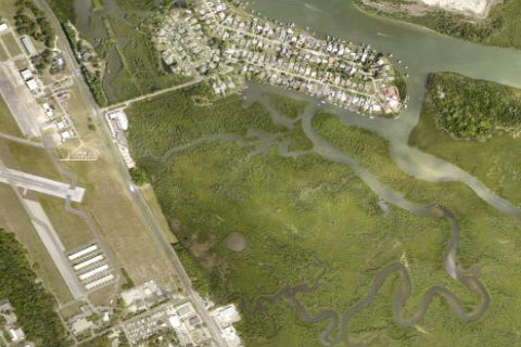 Satellite · reference point
Expand for details3 records · map & project info
Timeline and votes
Decisions & project history
Newest firstSt. Johns River Water Management District · Filed record
District requests land-rights and submerged-land evidence
Record details & sources
The information request asks for required application signatures, sufficient legal or equitable interest in the property, financial responsibility and delineation of state-owned submerged lands. Staff say they cannot determine whether the bank meets the establishment criteria until more information is provided. This is not a final denial or a finding of wrongdoing.
St. Johns River Water Management District · Filed record
New wetland mitigation-bank application received
Record details & sources
The general form identifies a 131.14-acre project with zero impervious area. The supporting narrative dated October 21 describes preservation and long-term management of approximately 101 wetland acres. These are applicant-proposed scopes and benefits, not approved acreage or a housing proposal.
Original district document ↗ · Original supporting document ↗
District · Earlier case
Earlier Hunter Creek record received
Record details & sources
The district’s earlier Hunter Creek record, 229883-1, lists this received date and names Charles Piper and Bio-Tech Consulting in its applicant field. At the November 10, 2026 check, that sequence is marked Never Issued with no decision date. This is not a verified denial or withdrawal, and it is separate from the new October 2026 application, 229883-2.
Photos and map
Photos & map
Project facts and sources
Project information & sources
- Approvals & permits
New mitigation-bank application pending; land rights and state-owned submerged-land limits under review.
- Size & completion
Project size: 131.14-acre application area; the supporting narrative describes about 101 acres of estuarine wetlands. These acreage scopes have not been reconciled.
Completion: See the dated approvals and project history.
- Things to know
The district received mitigation-bank application 229883-2 on October 22, 2026. The live record remains Pending with no decision or issue date at the October 31 check. Charles Piper is the applicant as filed and Bio-Tech Consulting is the environmental consultant. This is an application for a mitigation bank, not a subdivision or permission to clear land for housing.
The general application lists a 131.14-acre project, zero proposed impervious area and parcel 740800000100. The supporting October 21 narrative separately discusses preserving and managing approximately 101 acres of existing estuarine wetlands through a conservation easement and long-term invasive/nuisance-vegetation control. It says substantial earthwork, clearing and hydrological alterations are not proposed. Those different acreage scopes have not been reconciled.
Land rights remain unresolved. The county property-appraiser record for the parcel listed in the application names the State of Florida TIITF and reports a larger 176-acre parcel in the New Smyrna Beach tax district. That tax record is not a complete title determination or proof that the entire bank footprint is state owned. The district’s October 28 letter asks the applicant to demonstrate sufficient legal or equitable interest and delineate state-owned submerged lands; the application alone does not establish private ownership or authorization.
The same letter requests required signatures, financial-responsibility information and other material needed to evaluate a mitigation bank. No approved bank boundary, mitigation-credit quantity, conservation easement, construction permit or opening date is established by the reviewed records. The map shows only an approximate district application-area point, not a surveyed or approved bank boundary.
- What happens next
The district requested land-rights and state-owned submerged-land boundary information, required signatures and financial-responsibility material. An approved bank boundary and mitigation-credit quantity remain unconfirmed.
- Sources
Sources checked: Oct 31, 2026
Additional original district/city/inspection records and matched commercial parcel histories checked November 10, 2026. Their dated actions and source limits are recorded separately above. Historical permit scopes, current pending reviews and intermediate inspections are not full lifecycle or construction-completion certifications.
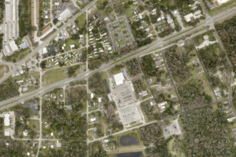 Satellite · reference point
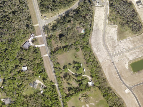 Satellite · reference point
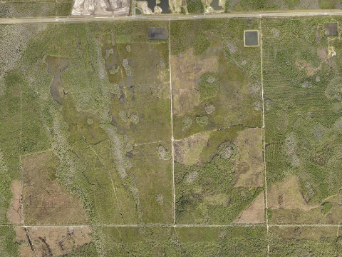 Satellite · application area
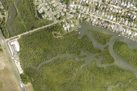 Satellite · reference point
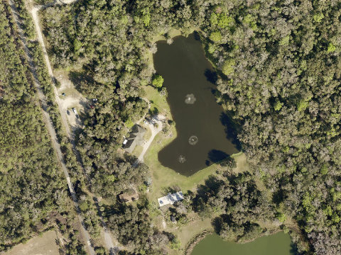 Satellite · parcel area
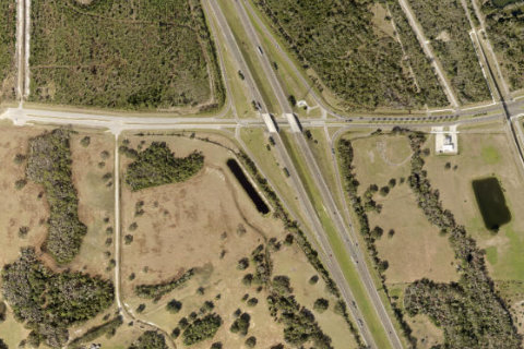 Satellite · reference point
Expand for details8 records · map & project info
Timeline and votes
Decisions & project history
Newest firstSt. Johns River Water Management District · Filed record
District requests drainage and water-quality revisions
Record details & sources
Staff requested nutrient-removal calculations accounting for downstream Turnbull Hammock, corrections to modeling assumptions, drainage-model boundary support and maintenance financial-capability documentation. The environmental application remains pending.
Florida Fish and Wildlife Conservation Commission · Agency review
State wildlife agency records no comment
Record details & sources
The October wildlife review report records a no-comment opinion on October 5 for the State Road 442 widening application (148731-2). The report was posted to the district case on November 5. The district application remained pending on November 7.
Original wildlife review spreadsheet ↗ · Live district case 148731-2 ↗
St. Johns River Water Management District · Filed record
Widening-related environmental application received
Record details & sources
The application describes pond changes to accommodate State Road 442 widening on a stated 7.85-acre environmental project. Attached September 2026 roadway plans show the Interstate 95 / Indian River Boulevard area, identify project 456981-1-54-01 and are explicitly marked 90% Submittal / Not for Construction.
Original district document ↗ · Original supporting document ↗
Deering Park Stewardship District · Board agenda
Board agenda presents widening grant agreement and engineering work
Record details & sources
The December 9 board agenda presents a state-funded grant agreement for project 456981-1-54-01, SR 442 widening under I-95, together with separate widening and diverging-diamond design work authorizations. Its December 5 grant tracker reports $1.4 million awarded for underpass widening but the agreement still awaited execution; the attached resolution’s adoption date is blank. The agenda establishes scheduled consideration, not a verified board vote, executed agreement, grant disbursement or authorization of the separate future interchange design. Original December 9, 2025 board agenda and grant tracker ↗
Deering Park Stewardship District · Board action
Board approves widening grant documents and engineering
Record details & sources
The final minutes record approval, with all in favor, of the state-funded grant resolution and scope/schedule/estimate form in substantially final form, authorizing the chair to execute. Glenn Storch moved approval and Robbie Lee seconded. A separate motion approved England-Thims & Miller work authorizations 6–8, including the four-lane widening and further interchange design. This establishes board authorization; it does not establish later execution, disbursement, a construction award or individual named ballots. Original December 9 board minutes · pages 2–4 ↗
Deering Park Stewardship District · State funding request
District requests funding for a two-to-four-lane underpass
Record details & sources
The district’s March 4 request sought $1.4 million in state funding and listed $2,000,812 in other matching funds, for a $3,400,812 fiscal-year project estimate. The standalone proposal widens the underpass from two lanes to four and includes retaining walls, intersection changes and signal upgrades. This was a funding request, not an issued permit or construction award. Its estimated September 2025 start and June 2026 completion were proposed dates, not verified construction milestones. Original March 4, 2025 state funding request ↗
St. Johns River Water Management District · Earlier issued permit
District issues permit for the earlier west-side road and pond
Record details & sources
Permit 148731-1 was issued March 1, 2017 for Indian River Boulevard West expansion. Its staff report describes the 6.76-acre road/stormwater system west of I-95 and names City of Edgewater as applicant and title holder. This original environmental permit is the predecessor referenced in the 2026 pond-modification application, not approval of the current four-lane widening or a verified completion record. Original March 1, 2017 issued permit ↗
St. Johns River Water Management District · Earlier road/pond application
City submits earlier Indian River Boulevard West expansion plan
Record details & sources
The original staff report dates the earlier plans to February 3, 2017 for a 6.76-acre, roughly 1,400-foot Indian River Boulevard segment west of I-95, including a wet-detention pond south of the road. The 2026 widening application expressly identifies 148731-1 as an existing permit it proposes to modify. The earlier west-side road/pond scope is distinct from the full current interchange widening. Original March 1, 2017 staff report · earlier plans and scope ↗
Photos and map
Photos & map
Project facts and sources
Project information & sources
- Approvals & permits
Widening-related environmental application pending; drainage revisions requested.
The December 9, 2025 final minutes establish the board’s approval of the widening grant documents and engineering work orders. The grant agreement still needed final preparation and chair execution; the minutes anticipated later ratification. Original December 9 board minutes · pages 2–4 ↗
- Size & completion
Project size: Widen the underpass from two lanes to four. The separate environmental application covers 7.85 acres.
Completion: See the dated approvals and project history.
A December 9, 2025 Deering Park Stewardship District agenda presents the underpass-widening grant agreement and engineering work. The December 5 tracker reports a $1.4 million award with execution pending; the attached resolution’s adoption date is blank. Final minutes separately record approval of the substantially final grant documents and engineering work authorizations. Later execution and payment remain unconfirmed. Underpass widening and the separate diverging-diamond design remain distinct scopes. Original December 9, 2025 board agenda and grant tracker ↗
- Things to know
The district received application 148731-2 on September 17, 2026. It remains Pending with no decision date at the October 31 check. The filed form describes modifying the current stormwater pond to accommodate widening, lists a 7.85-acre project area and reference parcel 840700000010, and names Little Cow Creek as the receiving water. That acreage describes the filed environmental project; it is not a measured length or full road right-of-way.
The attached September 2026 roadway plans identify State Road 442 four-lane widening and financial project 456981-1-54-01. Their cover says “90% Submittal” and “Not for Construction.” The cover map places the work at the Interstate 95 interchange and east along Indian River Boulevard. These drawings do not establish final construction authorization, a construction contractor, a current final cost, or actual start and opening dates.
On October 13 the district requested revised nutrient-removal calculations, drainage-model support and proof of financial capability for future maintenance. The letter identifies drainage connections to Cow Creek and Turnbull Hammock. It is a request for information, not approval or denial. This is a separate road/drainage project, not an added phase or home count for Deering Park.
The map pin is the approximate center of the district’s mapped application area for this stormwater filing, not the full widening limits or an exact work entrance.
The original 2017 permit covers a 6.76-acre, roughly 1,400-foot road/stormwater project west of I-95. The 2026 application expressly identifies 148731-1 as an existing permit it proposes to modify. That predecessor road and pond are distinct from the current full interchange widening; the historical permit is not current widening approval or proof of completion. Original March 1, 2017 staff report · earlier plans and scope ↗ · Original March 1, 2017 issued permit ↗
- What happens next
The pending environmental application needs revised nutrient-removal calculations, drainage-model support and maintenance financial-capability information. The older road permit and funding records do not authorize the current widening.
- Sources
Sources checked: Sources checked Oct 31, 2026 · District and wildlife report Nov 7, 2026
The March 4, 2025 Florida Senate funding request was checked November 15, 2026. Its $3,400,812 estimate and proposed schedule describe that request; later funding actions and environmental review remain separate.
Additional original records checked November 10, 2026. Historical predecessor scopes, issued and pending sequences, named roles, dated funding actions and ownership records remain separate facts; full lifecycle and construction completion remain unconfirmed.
Actual December 9 board authorizations read November 15, 2026 in the district’s final minutes. Original December 9 board minutes · pages 2–4 ↗
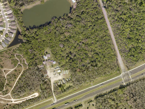 Satellite · parcel area
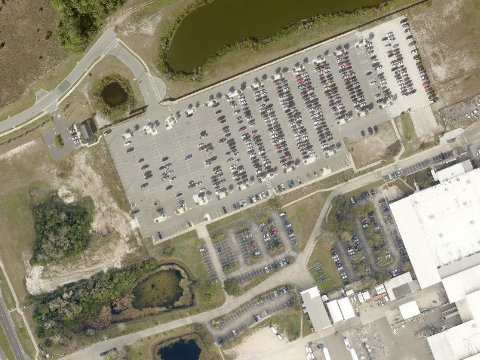 Satellite · reference point
Expand for details36 records · map & project info
Timeline and votes
Decisions & project history
Newest firstCity of Edgewater · Technical Review Committee agenda
City agenda lists parking-extension review · SP-2611
Record details & sources
Boston Whaler Parking Lot Extension, SP-2611, appears as new business on the October 6 city agenda for 2:45 p.m. in Council Chambers. The agenda is labeled Technical Review Committee beneath its Planning and Zoning Board header.
This is a scheduled review, not proof that the meeting occurred or the project was approved. The retrieved item has no recorded action or named ballots, and no published minutes file was supplied. The city case remains Agenda Ready.
Original October 6 agenda ↗ · City agenda item · action fields ↗ · Current city case ↗ · Filed site plan ↗
Edgewater Development Services · Project update
Boston Whaler: city report update
Record details & sources
The proposed parking expansion was being reviewed.
St. Johns River Water Management District · Issued ERP
District issues the 2.39-acre Outside Layout modification
Record details & sources
The original 76181-8 permit modifies IND-127-76181-3 for construction and operation of the 2.39-acre Outside Layout project using September 23 plans and calculations. The public case lists September 29, 2031 construction expiry. Condition 24 does not authorize wetland or surface-water impacts; other conditions require retention/detention rough grading before served building or impervious work, reporting and continuing maintenance. The technical report describes 2.39 acres of impervious surface and no proposed surface-water or wetland impacts. Issuance is not a final city site-plan order, proof of paving completion, or satisfaction of all other permissions and conditions. Original district file · 8973482 ↗ · Original current technical report · minor modification and impacts ↗ · Public regulatory search · current permit term ↗
Parker Mynchenberg & Associates · Review response
Engineer supplies revised plans and master-drainage evidence
Record details & sources
The original dated response says the fee was paid online and submits revised plans/calculations, the inspection checklist, O&M certification and recorded Boston Whaler Replat. It cites the replat’s Note 12 for a drainage easement on Lot 4 benefiting Lots 1, 2 and 3, while describing added runoff elevations/flow arrows and erosion controls. Those shared drainage rights do not merge the 100 Whaler Way paving project with the separate city boat-ramp work. Submission and certification are not proof that the new paving was constructed or that every permit condition was satisfied. Original district file · 8968814 ↗ · Submitted recorded replat · cited drainage rights ↗ · Submitted maintenance certification ↗ · Submitted inspection checklist ↗
Engineer · Maintenance certification
Engineer signs the existing-system inspection certificate
Record details & sources
The original certificate bears Steven R. Buswell’s September 22 signature date and reports the separate August 31 inspection date. The permittee-review section is dated September 23 and identifies Jeff Lariscy as Director of Public Works & Utilities. These are certification/review dates for the submitted existing-system report; they do not establish that the city owns the parking work area, approved the new paving, or issued a building or occupancy certificate. Original district file · 8968815 ↗
Florida Division of Historical Resources · Project review
Historic-resource review identifies the Outside Layout proposal
Record details & sources
The original letter’s table expressly lists 76181-8, Boston Whaler Outside Layout, under DHR number 2026-5340. DHR gives the opinion that the proposed work is unlikely to affect historic properties and requests safeguards for unexpected archaeological discoveries or human remains. That opinion is not proof that the site contains no historic resources or that all final permit conditions have been fulfilled. Original district file · 8966942 ↗ · Original September 21 DHR transmittal email ↗
District · Information request
District requests master-system rights, inspection and runoff details
Record details & sources
The original request asks for the $122.50 application fee, sufficient legal authority to use the master stormwater system, a recent report on its construction and functioning, revised elevations/runoff routing, and erosion-control details for adjacent and offsite waters. The review request is not a final violation, denial or determination that new work has been completed. Original district file · 8951836 ↗
Engineer’s submitted report · Existing stormwater system
Submitted maintenance report records an existing-system inspection
Record details & sources
The signed operation-and-maintenance certificate and checklist give August 31 as the inspection date and identify Steven R. Buswell of Parker Mynchenberg & Associates. The checked certificate states that the inspected system was functioning in substantial conformance, based on observation and as-built review. Submitted with the later response to a request for a master-system inspection, it is evidence about the existing drainage system, not completion of the proposed 2026 paving or a city final inspection. The form still lists the current permit as pending. Original district file · 8968815 ↗ · Original inspection checklist · actual August 31 date ↗ · September response · master-system inspection context ↗
District · Environmental application
District records receipt of the current Outside Layout application
Record details & sources
The district records receipt of application 76181-8 on August 21. The original application identifies parcel 853712000010 and a 2.39-acre work area, proposing previously permitted asphalt and concrete within the Lot 1 drainage basin. It references the earlier 76181-3 master permit and describes the proposed impervious area as within that basin’s permitted allocation. This is an application, not evidence of completed paving, a final city site-plan decision or construction authorization from every agency. Original district file · 8939289 ↗ · Public regulatory search · current 76181-8 receipt and issued status ↗
Edgewater city case attachment · Engineering record
Engineer digitally signs the city outside-layout plans
Record details & sources
Steven R. Buswell’s digital signature on the city plan set is dated August 21, 2026. The attachment label uses August 6 and the CAD plot text also shows August 6; these are document-production dates distinct from the signature and the later city-case listing. The cover proposes 104,071 square feet of additional pavement/concrete on a 70.60-acre parcel, with total impervious coverage increasing from 58.31% to 61.69%. It also shows a proposed scale. The title Final Site Plan is the engineer’s document title, not proof of city approval. Original record · 20719 ↗
Applicant’s environmental filing · Earlier conference
Application reports the earlier preapplication conference
Record details & sources
The later original application lists an August 11, 2026 MS Teams preapplication conference with district staff and the engineering representatives. The public preapplication record separately describes its meeting as complete. This is an applicant-reported conference date, not permit issuance; the preapplication remains classified Never Issued. Original district file · 8939289 ↗
District · Parking-layout preapplication
Outside Layout preapplication recorded as received
Record details & sources
The ordinary public district record identifies preapplication 76181-7, current record 254805, received July 24 for Boston Whaler Outside Layout at 100 Whaler Way. It is marked Never Issued and described as a completed preapplication meeting. That administrative status is not a denial, withdrawal or issued construction permit. This is distinct from the city boat-ramp cases at Legendary Way. Original district file · 8939289 ↗ · Public regulatory search · 76181-7 at 100 Whaler Way ↗
Edgewater city case attachment · Engineering record
Current outside-layout engineering sheets dated
Record details & sources
The current city plan set, Boston Whaler - Outside Layout, carries June 3, 2026 sheet dates. Its cover identifies Boston Whaler Inc. as owner/developer and Parker Mynchenberg & Associates as engineer/landscape architect. This is a drawing date, not a verified application, construction-start or approval date; the set was digitally signed later. Original record · 20719 ↗
Edgewater city case attachment · Engineering record
Surveyor digitally signs the boundary and limited-topography sheets
Record details & sources
Jeffrey S. Hattendorf digitally signs the included Sliger & Associates survey on April 7, 2026. The signature date is distinct from March 9 field work and the later civil-plan signature. The survey’s stated limits remain; no title opinion or construction completion is inferred. Original record · 20719 ↗
Edgewater city case attachment · Engineering record
Current survey attachment identifies its field-work date
Record details & sources
The boundary and limited-topography survey included in the city plan set identifies March 9, 2026 field work at 100 Whaler Way. It describes Lots 1, 2 and 3 of Boston Whaler Replat, Map Book 64, pages 16–21. Its notes say it was prepared without a current title report and that prior topographic features are shown for visual purposes only, not new construction. It does not establish the full title chain or approval of the proposed works. Original record · 20719 ↗
Recorded city/land records · Historical campus phase
Boston Whaler Replat recorded in Map Book 64
Record details & sources
The recorded cover header and exact Clerk index identify August 22, 2022, instrument 2022196102, Map Book 64/page 16, with the plat described as pages 16–21. This is later than the June 3, 2019 council approval. The cover states four lots and shows 108.62 acres in its vicinity-map label; that historical map label is not silently equated with 110.7-acre zoning, 108.36 acres owned in district tables, 70.60-acre plan context or the 2.39-acre current work. Note 12 records drainage rights on Lot 4 benefiting Lots 1–3 and assigns Lot 4 drainage-easement maintenance to the city. These rights do not establish city ownership of the Lot 1 paving or completed improvements. The reviewed source is the recorded cover sheet, marked sheet 1 of 6. The Clerk index matches the recording, but the attempted six-page online image copy returned image-processing errors; the full detail sheets and a complete current boundary/title chain remain unverified. Filed recorded replat cover · header, notes 12 and index ↗ · Official Clerk lookup · exact instrument 2022196102 / MB 64/16 ↗
Recorded city/land records · Historical campus phase
City signs the recorded plat dedication
Record details & sources
The city dedication signature and acknowledgment on the recorded cover sheet are dated August 16, 2022. The separate council approval certificate recites June 3, 2019. The different dates are retained rather than treating the 2019 vote as the later city signature or recording date. The reviewed source is the recorded cover sheet, marked sheet 1 of 6. The Clerk index matches the recording, but the attempted six-page online image copy returned image-processing errors; the full detail sheets and a complete current boundary/title chain remain unverified. Filed recorded replat cover sheet · city dedication ↗
Recorded city/land records · Historical campus phase
City engineer certifies the plat review
Record details & sources
The city engineer’s certificate bears Randy Coslow’s signature and October 17, 2019 date, confirming plat review against minimum land-development standards. It is not a new council vote, a construction final or acceptance of the 2026 paving. The reviewed source is the recorded cover sheet, marked sheet 1 of 6. The Clerk index matches the recording, but the attempted six-page online image copy returned image-processing errors; the full detail sheets and a complete current boundary/title chain remain unverified. Filed recorded replat cover sheet · engineer certificate ↗
Recorded city/land records · Historical campus phase
Company signs the plat dedication
Record details & sources
The recorded cover sheet gives September 5, 2019 for Boston Whaler’s dedication signature and acknowledgment. The dedication identifies Legendary Way and the interests set out in the plat. The company signature, June 2019 council approval, later city signature and actual 2022 recording are separate steps; this date is not the recording or construction-completion date. The reviewed source is the recorded cover sheet, marked sheet 1 of 6. The Clerk index matches the recording, but the attempted six-page online image copy returned image-processing errors; the full detail sheets and a complete current boundary/title chain remain unverified. Filed recorded replat cover sheet · company dedication ↗
Recorded city/land records · Historical campus phase
Plat surveyor certifies the earlier survey
Record details & sources
The recorded cover sheet’s surveyor certificate states the survey was completed August 14, 2019 and bears the same signature date. This is a survey certification, not completion of campus construction or of the later paving modification. The reviewed source is the recorded cover sheet, marked sheet 1 of 6. The Clerk index matches the recording, but the attempted six-page online image copy returned image-processing errors; the full detail sheets and a complete current boundary/title chain remain unverified. Filed recorded replat cover sheet · surveyor certificate ↗
Edgewater City Council · Original action record
Council approves the final subdivision plat
Approved 5–0Who voted? · expressly recorded in the city action record
Mike Thomas YESChristine Power YESKimberly Yaney YESMegan O'Keefe YESGary T. Conroy YESRecord details & sources
The city action record approves FP-1901 for the property at 100 Whaler Way and 4115 South Ridgewood. The separately submitted recorded cover sheet also identifies June 3, 2019 as council approval. Company dedication, later city signatures and actual recording are separate events; this approval does not itself establish the recording date or completion of the 2026 work. The named ballots are expressly recorded in the city’s item-specific vote record; none is inferred from attendance or an unsigned roster. Official dated action history · FP1901 ↗ · Official item-specific named-vote record ↗ · Original filed ordinance, agreement or plat · execution limits apply ↗
Edgewater Planning and Zoning Board · Original action record
Board recommends the final subdivision plat
Recommended approval 6–0Who voted? · expressly recorded in the city action record
George Kennedy YESRobert Andrejkovics YESChris Hatcher YESThomas Duane YESPaul Wright YESBurton Maroney YESRecord details & sources
The board sends a favorable recommendation to council for FP-1901. The item-specific record has six YES votes and marks Michael Eichhorn Excused, which is not a NO vote. The recommendation does not establish final council approval or recording. The named ballots are expressly recorded in the city’s item-specific vote record; none is inferred from attendance or an unsigned roster. Official dated action history · FP-1901 ↗ · Official item-specific named-vote record ↗ · Original filed ordinance, agreement or plat · execution limits apply ↗
Edgewater city case attachment · Engineering record
Older drainage as-built drawing set dated
Record details & sources
The city’s current case includes a six-sheet storm/drainage as-built drawing set dated March 13, 2019, project 18-015. Its notes say it is not a boundary survey and is certified only to the last field-work date. This dated older drawing attachment does not establish completion of the 2026 work, a city acceptance or occupancy approval. Original record · 20720 ↗
Edgewater City Council · Original action record
Council approves the preliminary subdivision plat
Approved 5–0Who voted? · expressly recorded in the city action record
Mike Ignasiak YESChristine Power YESAmy Vogt YESGary T. Conroy YESMegan O'Keefe YESRecord details & sources
The city action record approves SD-1702 for preliminary plat approval at 100 Whaler Way and 4115 South Ridgewood. This is the preliminary subdivision stage, not the later final plat, recording, or approval of the 2026 paving modification. The named ballots are expressly recorded in the city’s item-specific vote record; none is inferred from attendance or an unsigned roster. Official dated action history · AR-2018-3587 ↗ · Official item-specific named-vote record ↗ · Original filed ordinance, agreement or plat · execution limits apply ↗
Edgewater Planning and Zoning Board · Original action record
Board recommends the preliminary subdivision plat
Recommended approval 6–0Who voted? · expressly recorded in the city action record
George Kennedy YESMichael Eichhorn YESChris Hatcher YESRobert McIntosh YESThomas Duane YESPaul Wright YESRecord details & sources
The board sends a favorable recommendation to council for SD-1702 at 100 Whaler Way and 4115 South Ridgewood. The item-specific vote record has six YES votes and marks Robert Andrejkovics Absent. His recorded absence is not counted as a NO vote. A recommendation is distinct from council approval and final plat recording. The named ballots are expressly recorded in the city’s item-specific vote record; none is inferred from attendance or an unsigned roster. Official dated action history · SD-1702 ↗ · Official item-specific named-vote record ↗ · Original filed ordinance, agreement or plat · execution limits apply ↗
Water management district · Earlier campus history
District authorizes the larger campus expansion and redevelopment
Record details & sources
Permit 76181-3 authorizes the 82.843-acre stormwater project, including interconnected wet-detention facilities, new buildings and revised parking/drive areas. The report documents wetland impacts, offsite mitigation and conservation-easement requirements, including a manatee-excluder guard on the tidal outfall. It lists Boston Whaler, Cow Creek Ranch and the city in the filed owner/applicant roles. These are earlier permit facts; actual fulfillment and all parties’ current rights are not established by issuance. Original record · 6628286 ↗ · Original 2017 technical report · historical parties, scopes and conditions ↗
Recorded instruments filed with district · Historical property context
Related city Lot 4 and road deed recorded
Record details & sources
The original header records the Boston Whaler-to-city special warranty deed August 8, 2017 as instrument 2017155071, book 7433/page 1998, with a $2,000,000 transfer amount. The exhibit covers Lot 4 and road parcels. A separately included owner’s policy is effective that day and insures the city’s described interest; its insurance limit is not a separate project expenditure. The current response cites drainage rights benefiting Lots 1–3 on Lot 4, but the complete easement/title chain and boundaries remain unreviewed. Submitted original instrument copies · PDF pages 8–16 ↗
Recorded instruments filed with district · Historical property context
Related Lot 4 and road deed to the city dated
Record details & sources
The signed original special warranty deed is dated and acknowledged July 31, 2017 from Boston Whaler Inc., a Delaware corporation, to the City of Edgewater. Its exhibit describes Lot 4 and Phase 1/Phase 2 road land, and its predecessor parcel text is marked cutout. These are related campus/drainage and road-property transfers, distinct from the present Lot 1 paving area; the city is not treated as owner or approver of the new paving through this deed. Submitted original instrument copies · PDF pages 12–16 ↗
Recorded city/land records · Historical campus phase
MUPUD ordinance and signed agreement recorded
Record details & sources
The actual recording header identifies June 30, 2017, instrument 2017130220, Official Records book 7418/page 2211. The 33-page packet contains the ordinance and signed MUPUD agreement for the broader 110.7-acre historical site. The agreement states a thirty-year duration from recording and requires further phase site plans and applicable permissions. Recording establishes this original instrument’s date, not satisfaction of its conditions, current unamended rights or approval of the 2026 paving by itself. The public Clerk lookup identifies instrument 2017130220 / book 7418, page 2211. Original recorded 33-page MUPUD packet · instrument 2017130220 ↗
Recorded city/land records · Historical campus phase
Company acknowledges the recorded MUPUD agreement
Record details & sources
The independently retrieved recorded packet contains the mayor/clerk signatures and a company signature by Nick Stickler, president, acknowledged June 26, 2017. Its city page recites June 5 council approval; that is not treated as a separately proved city-signature day. This signed counterpart differs from the unsigned copy attached to the earlier city case. The historical signed agreement does not establish all later amendments, current title interests or fulfillment of its conditions. Recorded instrument 2017130220 · OR 7418/2211, pages 28–29 ↗
Edgewater City Council · Original action record
Council approves MUPUD zoning and authorizes the agreement signature
Second reading approved 5–0Who voted? · expressly recorded in the city action record
Mike Ignasiak YESChristine Power YESAmy Vogt YESDan Blazi YESGary T. Conroy YESRecord details & sources
The city action record approves Ordinance 2017-O-05 and authorizes the mayor to sign the MUPUD agreement for approximately 110.7 acres. The filed agreement describes a four-lot industrial/commercial/park concept and requires further phase site plans and applicable permissions. Its proposed duration runs thirty years from recording; the unsigned posted form is not itself proof of execution, a verified term start or completion of any phase. The named ballots are expressly recorded in the city’s item-specific vote record; none is inferred from attendance or an unsigned roster. A signed counterpart was independently retrieved from the Clerk and is documented separately under its June 30, 2017 recording. Official dated action history · 2017-O-05 ↗ · Official item-specific named-vote record ↗ · Original filed ordinance, agreement or plat · execution limits apply ↗
Edgewater City Council · Original action record
Council continues the MUPUD hearing
Continued 5–0Who voted? · expressly recorded in the city action record
Mike Ignasiak YESChristine Power YESAmy Vogt YESDan Blazi YESGary T. Conroy YESRecord details & sources
Council votes to continue Ordinance 2017-O-05 to June 5, 2017. The vote concerns the hearing schedule, not final approval of all development phases. The named ballots are expressly recorded in the city’s item-specific vote record; none is inferred from attendance or an unsigned roster. Official dated action history · 2017-O-05 ↗ · Official item-specific named-vote record ↗ · Original filed ordinance, agreement or plat · execution limits apply ↗
Edgewater City Council · Original action record
Council approves the MUPUD ordinance on first reading
First reading approved 5–0Who voted? · expressly recorded in the city action record
Mike Ignasiak YESChristine Power YESAmy Vogt YESDan Blazi YESGary T. Conroy YESRecord details & sources
The city action record approves Ordinance 2017-O-05 on first reading for the broader approximately 110.7-acre MUPUD and associated agreement. The filed agreement describes phased industrial, commercial and park/recreation lots; this early reading is not the later final council action or completion of those phases. The named ballots are expressly recorded in the city’s item-specific vote record; none is inferred from attendance or an unsigned roster. Official dated action history · 2017-O-05 ↗ · Official item-specific named-vote record ↗ · Original filed ordinance, agreement or plat · execution limits apply ↗
Edgewater Planning and Zoning Board · Original action record
Board recommends the larger mixed-use industrial agreement
Recommended approval 7–0Who voted? · expressly recorded in the city action record
George Kennedy YESRobert McIntosh YESPat Card YESRobert Andrejkovics YESDavid Tyree YESPaul Wright YESMichael Eichhorn YESRecord details & sources
The board recommends MUPUD zoning and its agreement for the existing facility and northern property at 100 Whaler Way and 4115 South Ridgewood. The board case title describes 110.5 acres, its motion approximately 110 acres, and the later ordinance 110.7 acres. Those source-specific descriptions are retained without treating them as the present paving footprint. The named ballots are expressly recorded in the city’s item-specific vote record; none is inferred from attendance or an unsigned roster. Official dated action history · RZ-1702 ↗ · Official item-specific named-vote record ↗ · Original filed ordinance, agreement or plat · execution limits apply ↗
Florida Division of Corporations · Name-history index date
State corporate record links New BW and Boston Whaler names
Record details & sources
Florida record F96000002538 identifies the Delaware corporation now named Boston Whaler, Inc. and its previous name, New BW, Inc.; its name-change event is indexed June 5, 1996. This connects the corporate name of the purchaser in the earlier manufacturing-property deed to the current company name. It is not another land transfer, a complete title chain or permission for the 2026 parking work.
The original filing packet retains distinct dates: the application states May 30 for the change under Delaware law and is signed May 31; the attached Delaware certificate, issued June 4, certifies that the amendment was filed June 3 at 9 a.m. A June 6 Florida return letter says the submitted document had not been filed and requested corrections; a resubmission stamp asks to retain the original submission date. These source-specific dates are not combined into an independently determined legal effective date. The active current index and name history establish the name link. Official Florida corporate record · F96000002538 ↗ · Original filing packet · pages 7–9 ↗
Recorded instruments filed with district · Historical property context
Earlier deed into New BW recorded
Record details & sources
The original recording header gives June 3, 1996, instrument 96094247, book 4110/page 297 and a $1,800,000 transfer amount. The deed conveys the described manufacturing property to New BW Inc. Its body recites nominal consideration plus other value. The header amount is not an allocation to the 2026 work area, a whole-business purchase price or a construction budget. The exception schedule cites older utility/access and conservation instruments whose originals remain unreviewed. Submitted original instrument copies · PDF pages 2–6 ↗
Recorded instruments filed with district · Historical property context
Earlier manufacturing-property deed dated
Record details & sources
The filed original warranty deed is made as of May 31, 1996 from Boston Whaler Inc., a Massachusetts corporation and successor by name change to BW Acquisition Corp., to New BW Inc., a Delaware corporation. Its acknowledgment is dated May 29. It covers predecessor parcel numbers 8537-11-00-0010, 0020 and 0030 and Riverfront Estates legal descriptions; those historic boundaries and corporate succession have not been fully reconciled to the present replat. This is a deed date, not the recording date or the first purchase of all current project land. Submitted original instrument copies · PDF pages 2–6 ↗
Photos and map
Photos & map
Project facts and sources
Project information & sources
- People & companies
District owner/applicant: Boston Whaler, Inc., through its president · Engineer: Steven R. Buswell, Parker Mynchenberg & Associates, Inc. · Construction contractor unconfirmed Original current application ↗
The county property page names Boston Whaler Inc. for the identified Lot 1 parcel. The broader plan and historic conveyance scopes remain separately qualified. Current county parcel page ↗
The current Florida corporate record F96000002538 lists Boston Whaler, Inc. as an active Delaware corporation, previously New BW, Inc. Its 2026 annual report retains the Edgewater business address. This supplies a documented name link for the 1996 deed purchaser; similarly named Massachusetts and other Florida-indexed entities are not merged into this record. A complete current land-title chain and replat-boundary reconciliation remain unverified. Official company and name-history record ↗
- Approvals & permits
City case SP-2611, Parking Lot Extension, and district Outside Layout permit 76181-8 concern the current work through different agency reviews. The district issued its 2.39-acre permit September 29, 2026. The October 6 city listing does not establish a final city site-plan decision. Current construction start and completion remain unverified. Original current application ↗ · Issued current district permit ↗ · Current technical report ↗
ERP 76181-8 is the issued Outside Layout modification at 100 Whaler Way and modifies the older 76181-3 master permit. Its 2.39-acre scope is distinct from the broader manufacturing campus and from Legendary Way boat-ramp sequences 76181-6 and 76181-9. Its case lists expiry September 29, 2031. The preapplication 76181-7 is marked Never Issued with a completed meeting; that is not a denial or an issued construction permit. Issued current district permit ↗
The city’s public development map identifies Boston Whaler, site 35 at 100 Whaler Way, parcel 853712000010, as Parking Lot Extension with status Under Site Plan Review. This review label is not a final city approval or construction milestone. Official city development map ↗
The city’s mapped project marker sits in Mixed Use Planned Unit Development zoning and Mixed Use future land use. These are planning designations, not permission to build. The wider Lot 1 parcel intersects more than one mapped category, so the marker does not establish the designation of every part of the proposed paving area. Official city map · zoning and future land use ↗
The recorded 2017 planning agreement for the broader site separately lists final city site-plan approval and applicable clearing, removal, construction and building permits among the permissions to obtain. Its amendment clause requires formal written amendments; substantial changes, as determined under the city code, require Council approval. These are terms of the original agreement, not evidence that the current parking work has received those permissions or that no later amendment exists. Recorded agreement · pages 24 and 26, sections 8 and 18 ↗
The filed 2026 Outside Layout plan cover labels the zoning MUPUD (mixed-use planned unit development) and the future land use Industrial. The city-layer observation described in Sources places the published project reference point in mixed-use designations and notes other designations across the wider parcel. The designer’s cover labels and the city reference-point observation have not been reconciled to the exact work boundary. The title “Final Site Plan” identifies the submitted drawing set; it does not establish a final city approval. Filed city plan · cover, site data and map labels ↗
- Size & completion
The current original environmental application identifies parcel 853712000010 and 2.39 acres within the existing Lot 1 drainage basin. The current technical report describes 2.39 acres of proposed impervious surface and lists 108.36 acres owned; neither is treated as a new building footprint or silently equated with the city plan’s 70.60-acre context. Shared drainage rights on Lot 4 do not place the parking work or city boat-ramp project within one indistinguishable scope. The city civil plan identifies 104,071 square feet of new paving and concrete, including a proposed scale, within a 70.60-acre plan context described as Lots 1–3. It does not establish a new building or a verified parking-stall increase. The county page identifies parcel 853712000010, Boston Whaler Inc., and a short legal description of Lot 1; that description is not silently equated with the full plan area. Current technical report ↗ · Original record · 20719 ↗
- Things to know
Parking Lot Extension. The proposed parking expansion was being reviewed.
The current issued permit does not authorize wetland or other surface-water impacts. The historic-resource letter finds historic properties unlikely to be affected and requests discovery safeguards; it is not a site-wide absence guarantee. The reviewed existing-master-system inspection and conformance certification do not establish that the newly permitted paving is complete. Original current district report ↗ · DHR project-specific review ↗ · Existing-system inspection certificate ↗
The engineer’s September 23 response cites the recorded replat’s drainage easement on Lot 4 in favor of Lots 1, 2 and 3. The inspection date is August 31, the engineer’s signature September 22, and the permittee review September 23. The city public-works reviewer’s role and shared drainage system are not evidence that the city owns or approved Boston Whaler’s new paving work. Engineer response and drainage-rights context ↗
The current proposal modifies the existing Lot 1 drainage basin. Its directly referenced 2017 master permit, recorded planning agreement and replat remain below as context; they do not authorize the new paving by themselves. The older 2019 drainage as-built attachment does not establish completion of the 2026 work.
The submitted manufacturing-property deed and Lot 4/road conveyance provide limited acquisition and drainage context. They do not establish a complete present boundary or corporate-succession chain, a first acquisition date for all current land, or city ownership of the Lot 1 paving. Transfer stamps and insurance amounts are not construction costs. Submitted historical instrument copies ↗
The retained zoning agreement and preliminary/final plat proceedings explain the planning and drainage framework cited by current records. Recommendations, continuances, council approvals, signatures and recording remain distinct. None establishes approval or completion of the current 2.39-acre paving work.
The signed MUPUD counterpart is recorded June 30, 2017 as instrument 2017130220, OR 7418/2211. It contains city signatures and the company’s June 26 acknowledgment. The original thirty-year term runs from recording; amendments, continuing rights and performance of conditions remain unreviewed. The Boston Whaler Replat cover records August 22, 2022 as instrument 2022196102, MB 64/16–21, distinct from the June 3, 2019 council approval and later signatures. Only cover sheet 1 of 6 is substantively reviewed; the full detail sheets and current boundary chain remain unverified. Recorded MUPUD · instrument 2017130220 ↗ · Recorded replat cover · sheet 1 of 6 ↗
The separate temporary Experience Center, permanent showroom proposal, waterfront slips and earlier incentive/office-expansion projects are outside this parking-extension timeline. Their approvals do not establish city permission for, or completion of, this paving.
- What happens next
The next milestones are a final city site-plan decision, any required construction permissions, paving work and applicable final inspections. The issued district permit and inspection of the existing drainage system do not establish completion of the new paving. The current-project contractor and construction start remain unconfirmed.
- Sources
Sources checked: Oct 23, 2026
Earlier city-report history checked November 5, 2026. Report snapshots retain their stated dates and earlier phase counts; they do not establish current permits, occupancy or complete project history.
Additional original records were checked November 10, 2026. The current case has 32 document-list entries but 30 distinct document IDs because final plans and calculations repeat. The preapplication returned no documents. The retained title instruments provide qualified current-site and drainage context, not a complete title or corporate-succession chain.
On November 11, 2026, the city case SP-2611 still showed Agenda Ready, no passed date and no actions in its retrieved history. That absence does not establish denial or rule out an approval elsewhere. The latest dated project action remains the October 6 city listing. Current city case ↗ · Retrieved action history ↗
Parking-extension history scope · Nov 11, 2026
This history covers the current Outside Layout / parking extension. The first located project-specific survey work is March 9, 2026; the first located district preapplication was received July 24, 2026. Necessary acquisition, master-drainage, zoning and replat context is retained separately from construction progress. Separate earlier campus projects and an unrelated parcel chain are excluded.
The two six-sheet plats posted with the 2019 city cases are unsigned filed plans, with blank recording fields. They do not replace the signed 2022 recorded cover or resolve its five missing recorded detail sheets. A full recorded boundary/title review, current city permission and paving completion remain unverified. 2019 filed plat · unsigned ↗
The original October 6 agenda, its city action fields and the city’s mapped review status were checked November 11, 2026. No recorded action or named ballot appears in the retrieved item, and its meeting record supplies no published minutes file. These sources clarify the scheduled review; they do not establish construction permission, contractor selection or paving completion. The project’s latest dated action remains October 6; November 11 is the source-check date.
The city’s zoning and future-land-use layers were checked November 11, 2026 against its Boston Whaler project marker and the county’s Lot 1 parcel map. The marker falls within mixed-use designations; the wider parcel also overlaps industrial and conservation-overlay areas. Small map-edge differences remain unresolved. This map check does not verify recorded boundaries, amendments to the planning agreement, a final city decision or construction progress. October 6 remains the latest dated project action.
The official Florida company record, name/event history, original nine-page filing packet and 2026 annual report were checked November 11, 2026. The dated history entry explains the differing filing dates. The Clerk’s exact instrument lookup and six-page image-viewer link were also inspected; no usable six-sheet copy was obtained, so the five missing recorded detail sheets remain unverified. These corporate and access records do not establish a later project action, approval or completion.
The permit and amendment clauses in recorded instrument 2017130220 were checked November 11, 2026. They clarify the original agreement’s requirements; they do not establish a new city decision, current unamended rights or performance of its conditions. A further official Clerk image copy did not supply the missing recorded replat details. October 6 remains the latest dated project action.
The existing 2026 plan cover and general notes were checked November 11, 2026 for designation labels and permit references. They did not establish an issued Edgewater construction-permit identifier or a final city decision. The different land-use references remain unresolved. October 6 remains the latest dated project action.
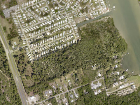 Satellite · parcel area
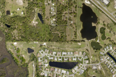
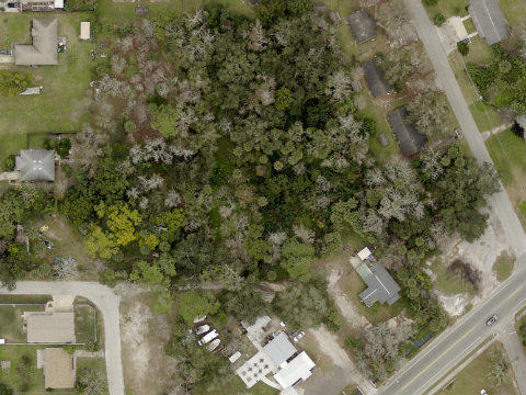 Satellite · application area
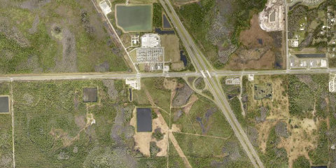 Satellite · reference point
Expand for details42 records · 6 vote records · map & project info
Timeline and votes
Decisions & project history
Newest firstVolusia County Property Appraiser · Sales history
Later multi-parcel deed recorded at $100
Record details & sources
All three reviewed county parcel histories reference instrument 2026173665, book 8907/page 4729. Their current owner fields name Legacy Acquisitions Group LLC. The nominal entry is not treated as a separate $100 market acquisition or proof of the deed’s purpose.
Volusia County Property Appraiser · Sales history
County histories record shared $10.2 million deed
Record details & sources
All three reviewed parcel histories reference multi-parcel warranty deed 2026066234, book 8839/page 4347. The records share one $10.2 million transaction.
New Smyrna Beach city map · Dated source check
City map checked; published case information recorded
Record details & sources
Case PUD-00005-2025: Adding Mult-Family Residential as a Permitted Use. City map status: City Commission Meeting December 8, 2026. Next step: Preparing for Meeting. Approval route listed: City Commission Meeting. This is not a completed approval.
The map lists a proposed multifamily-use amendment and a December 8, 2026 Commission meeting. A scheduled hearing is not an approval and is distinct from earlier commercial approvals.
This is the map information available at the check, not a new city decision. Individual votes, applicant, builder and permit history are not supplied by this map.
County ownership map · Reported sale date
County map lists a September sale on three known parcels
Record details & sources
The county ownership layer checked October 28 lists Legacy Acquisitions Group LLC on parcels 7321-00-00-0020, 7322-00-00-0050 and 7322-00-00-0054, with September 18, 2026 in each last-sale field. It lists RaceTrac Petroleum separately on 7321-02-00-0010 and the City of New Smyrna Beach on 7321-02-00-0020. These are tax-map records, not verified deeds or a complete current inventory of every development lot.
City Commission · Postponed
Hearing postponed to December 8
passed by unanimous vote.Who voted? · what the minutes record
The minutes record unanimous passage but do not list individual ballots. No individual yes votes are assigned here.
Record details & sources
Applicant draft · Proposed revision
Revised agreement and plans prepared
Record details & sources
The draft lowers maximum floor-area ratio to 0.5 for most uses, retaining 0.6 for lodging, and specifies the cited 2025 stormwater standard. Its five-story/60-foot height, 30% open-space and 15% natural-preservation limits were already in the 2013 agreement. This revision is not an approval or permit; final treatment of board conditions and inconsistent draft provisions remains unverified.
Revised development standards ↗ · Stormwater clause ↗ · Original 2013 standards ↗
New Smyrna Beach planning staff · Proposed amendment
Staff report proposes housing and four later phases
Record details & sources
The report recommends the amended development rules. Proposed limits include five stories or 60 feet, 30% open space and 15% natural vegetation. Detailed plans and further approvals would still be required. The later August vote postponed consideration; this recommendation did not approve construction.
Applicant letter · Amendment request
Applicant explains the proposed restatement
Record details & sources
Legacy Acquisitions Group describes itself as under contract to buy the undeveloped property from Ocean Gate Commerce Center LLC. The letter seeks revised infrastructure and development rules, including a mix of housing and commercial uses. This dated applicant description is distinct from the later staff report’s owner label; a current deed has not been verified.
Volusia County Property Appraiser · Parcel history
Quitclaim transfer listed
Record details & sources
The county property appraiser lists this QC-QUIT CLAIM DEED entry for parcel 732200000050 at book/page 8509 / 1640, instrument 2024013551. The listed amount is $100; the county classifies the entry as unqualified and the parcel as vacant at that time.
Volusia County Property Appraiser · Parcel history
Warranty-deed transfer listed
Record details & sources
The county property appraiser lists this WD-WARRANTY DEED entry for parcel 732200000050 at book/page 8509 / 1635, instrument 2024013550. The listed amount is $4,125,000; the county classifies the entry as unqualified and the parcel as vacant at that time.
Volusia County official records · Permit notice
Environmental permit notice recorded
Record details & sources
Instrument 2023006056, Book 8355, pages 3768–3770, records notice of permit 133397-3 and its transfer and completion-certification requirements. The notice is informational, not a completed-work certificate or a new housing approval. Its January 11 recording stamp differs from the document index’s January 6 date.
Mitigation bank records · Purchase/allocation
Phase 2 mitigation credits documented
Record details & sources
The bank letter and ledger record purchase/allocation of 2.68 forested-freshwater mitigation credits for Ocean Gate’s Phase 2 infrastructure. September’s earlier record was a reservation. This documents mitigation credits, not the road-contribution account, completed construction or an occupancy certificate; no dollar price is supplied.
St. Johns River Water Management District · Phase 2 permit
Stormwater system authorized for 47.07-acre phase
Record details & sources
The original permit, printed as 159696-1 and filed under portal record 133397-3, authorizes the older Phase 2 stormwater system. It names Ocean Gate Commerce Center LLC and Holiday Inn 44 LLC as permittees. The authorization covers 47.07 acres, distinct from the later 181-acre parent proposal.
Its original construction term is five years. It requires mitigation-credit documentation, construction notice and completion certification. The staff analysis describes two wet detention ponds and one dry retention pond. This is not approval of the pending housing amendment or proof that construction and inspections are complete.
Original permit file · Historical review
Consultant submits a revised wetland mitigation worksheet
Record details & sources
The consultant sent a worksheet removing the on-site mitigation figures. The revised sheet lists 2.66 off-site bank credits; the later issued permit and purchase records specify 2.68. Those source figures remain distinct. This review revision is not a construction-completion record.
Original permit file · Historical review
Wetland mitigation approach changes during review
Record details & sources
The consultant told district staff that the proposal no longer included an on-site conservation easement or on-site mitigation. Staff asked that easement language be removed from the plans and that indirect wetland impacts be addressed. This correspondence describes that permit proposal; it does not certify present-day property restrictions.
City Commission · Decision
Phase 2 layout and traffic agreement approved
Passed unanimously.Who voted? · what the minutes record
The minutes record unanimous passage but do not list individual ballots. No individual yes votes are assigned here.
Record details & sources
City Commission · Decision
Holiday Inn Express plans approved
Passed 4–1; Russ Owen voted no.Who voted? · what the minutes record
Russ Owen NOThe minutes name Mayor Russ Owen as voting no and record a 4–1 result. Other individual ballots are not listed here.
Record details & sources
Planning and Zoning Board · Recommendation
Board recommends the hotel site plan
Recommendation passed 6–0Who voted?
Stephen Snively YESSandra Smith YESSusan Neylon YESKip Hulvershorn YESJohn Causey YESSteve Danskine YESRecord details & sources
Volusia County official records · Recorded agreement
Second development-agreement amendment recorded
Record details & sources
Instrument 2021127592, Book 8057, pages 3884–3892, records updated road and lot arrangements and adds carwash, limited mini-warehouse and wave-pool uses. This recorded amendment is separate from the later Phase 2 and hotel-plan votes; recording does not establish construction or occupancy.
Recorded amendment and parties ↗ · Amended uses and standards ↗
Planning and Zoning Board · Recommendation
Board recommends Phase 2 lots and infrastructure
Recommendation passed 7–0Who voted?
Stephen Snively YESSandra Smith YESSteve Danskine YESThomas Wheeler YESSusan Neylon YESKip Hulvershorn YESJohn Causey YESRecord details & sources
Original permit file · Historical review
District says the response still needs supporting records
Record details & sources
District staff treated the October response as partial. The remaining requests included a mitigation-credit reservation, revised association maintenance language and a signed final drainage report. This describes the review at that date; the permit was subsequently issued in November 2022.
City Commission · Decision
approve changes to the overall development rules
Passed 4–1; Russ Owen voted no.Who voted?
Russ Owen NOMichael Kolody PRESENTRandy Hartman PRESENTJason McGuirk PRESENTJake Sachs PRESENTRecord details & sources
Original permit file · Historical review
Engineers submit revised drainage and wetland responses
Record details & sources
The applicant's engineer described a 39.917-acre work area within the 47.07-acre property and submitted revised drainage information, wetland drawings and draft maintenance and conservation documents. These were the engineer's responses, not a district finding that construction was complete.
Original permit file · Historical proposal
Revised hotel drawing shows fewer rooms and shared parking
Record details & sources
The revised Lot 7 site drawing shows 122 proposed hotel rooms, compared with 124 in the November 2019 drawing. The 2.86-acre site plan lists 131 parking spaces, including 10 on neighboring Lot 8. It also shows a five-story, 60-foot proposal. The drawing's revision date is September 9 and its signature is dated October 6. These are historical submitted-plan details, not proof of the current design, final approval or completed construction.
Original permit file · Historical review
District extends the deadline for the application response
Record details & sources
The district granted 60 more days to answer its December 2019 information request, setting a May 2, 2020 response deadline. This extended the application response period; it did not authorize construction.
Original permit file · Historical proposal
Consultant reports on the earlier wetland proposal
Record details & sources
Bio-Tech Consulting's report covers an approximately 55.38-acre study area and describes 5.75 acres of proposed direct wetland impacts. Its narrative proposed retaining 8.84 acres of wetlands on site and buying 2.50 mitigation credits. Some attached totals conflict. This was an earlier consultant proposal, not the final mitigation decision or a current wildlife survey; the later permit and purchase records specify 2.68 credits.
Original permit file · Historical review
Water district asks for more drainage and wetland information
Record details & sources
The St. Johns River Water Management District requested nine groups of clarifications, including acreage, stormwater calculations, wetland boundaries, mitigation and long-term maintenance documents. This was an application-review request, not a project denial. The district later issued the permit in November 2022.
Original permit file · Historical review
Hotel construction plans identify the project team
Record details & sources
The Lot 7 Holiday Inn Express & Suites plans were prepared for Holiday Inn 44, LLC. The cover lists Tri³ Civil Engineering Design Studio as civil engineer, Base 4 as architect, Magley Design as landscape architect and The Collage Companies as general contractor. The submitted site plan shows 124 hotel rooms on 2.86 acres with 122 parking spaces. These are dated proposed-plan figures; they do not establish the current design, builder, approval or completed construction.
Original permit file · Historical review
Engineers submit the Phase 2 acreage breakdown
Record details & sources
The historical table divides 47.070 acres into 21.790 acres of development lots, 20.313 acres of common tracts and 4.967 acres of Ocean Gate Boulevard right of way. These are the older permit-area figures, not the boundaries of the proposed 2026 phases.
Water district permit file · Application received
Phase 2 infrastructure application enters the record
Record details & sources
The district’s record dates receipt to November 5. The application describes roads, private drives and stormwater facilities for Lots 2–11 and Tracts A–F on a 47.07-acre phase, using the project address 2988 SR 44. These are historical phase references, not a current address or lot inventory for the entire later proposal.
Volusia County Property Appraiser · Parcel history
Earlier house and field-office demolition listed
Record details & sources
The property appraiser’s permit summary lists 201901572 for parcel 732200000050 with the description “DEMOLISH OLD HOUSE AND FIELD OFFICE” and an amount of $1,000. This is a secondary county listing. Its date and amount do not establish permit issuance, passed inspections, work completion or total project cost.
Recorded deed · Historical ownership
Hotel parcel deed is recorded
Record details & sources
A recorded deed attached to the permit file identifies Ocean Gate Commerce Center LLC as grantor and Holiday Inn 44 LLC as grantee for the described hotel parcel. Recording is dated December 3, 2018, instrument 2018240046, Book 7628, pages 3896–3897. The first-page date and acknowledgement differ, so this entry uses the recording date. It does not establish present ownership or that the hotel opened.
Volusia County Property Appraiser · Parcel history
Trustee’s-deed transfer listed
Record details & sources
The county property appraiser lists this TR-TRUSTEE'S DEED entry for parcel 732200000054 at book/page 7419 / 4887, instrument 2017132544. The listed amount is $100; the county classifies the entry as unqualified and the parcel as improved at that time.
The county property appraiser lists this TR-TRUSTEE'S DEED entry for parcel 732200000050 at book/page 7419 / 4887, instrument 2017132544. The listed amount is $100; the county classifies the entry as unqualified and the parcel as improved at that time.
Recorded deed · Historical ownership
RaceTrac parcel deed is recorded
Record details & sources
The deed attached to the public permit file records a transfer from Ocean Gate Commerce Center LLC to RaceTrac Petroleum Inc. It was executed June 15 and recorded June 16 as instrument 2017118686, Book 7411, pages 3592–3595. This is historical ownership evidence for the described parcel, not a complete current title search.
Project record · Record
RaceTrac amendment
Record details & sources
Project record · Record
Original development agreement
Record details & sources
The document orders the agreement on January 22, 2013; the city signatures were acknowledged April 30. Recorded May 16, 2013 as instrument 2013-095468, Book 6858, pages 3561–3597. This original agreement already included five-story/60-foot height, 30% open-space and 15% natural-preservation standards.
Recorded development agreement · Earlier hearing recited
Original agreement identifies a planning-board hearing
Record details & sources
The recorded agreement names this date for the Planning and Zoning Board public hearing. The original meeting minutes, motion and individual ballots have not been verified; this entry records the agreement’s recital.
Recorded development agreement · Earlier filing recited
First filing date identified in the accessible agreement
Record details & sources
The agreement states that Ocean Gate Commerce Center LLC filed its application on October 17, 2012. It describes approximately 181.3 acres west of I-95 and south of SR 44. This is a dated recital in the later recorded agreement; the original application file has not been retrieved.
Volusia County Property Appraiser · Parcel history
Warranty-deed transfer listed
Record details & sources
The county property appraiser lists this WD-WARRANTY DEED entry for parcel 732200000054 at book/page 6677 / 4114, instrument 2012021471. The listed amount is $100; the county classifies the entry as multi-parcel and the parcel as improved at that time.
The county property appraiser lists this WD-WARRANTY DEED entry for parcel 732200000050 at book/page 6677 / 4114, instrument 2012021471. The listed amount is $100; the county classifies the entry as multi-parcel and the parcel as improved at that time.
Volusia County Property Appraiser · Parcel history
Warranty-deed transfer listed
Record details & sources
The county property appraiser lists this WD-WARRANTY DEED entry for parcel 732200000054 at book/page 5805 / 4303, instrument 2006090625. The listed amount is $6,500,000; the county classifies the entry as unqualified and the parcel as improved at that time.
The county property appraiser lists this WD-WARRANTY DEED entry for parcel 732200000050 at book/page 5805 / 4303, instrument 2006090625. The listed amount is $6,500,000; the county classifies the entry as unqualified and the parcel as improved at that time.
Volusia County Property Appraiser · Parcel history
Property-transfer entry listed
Record details & sources
The county property appraiser lists this PR-vcpa pr entry for parcel 732200000054 at book/page 4303 / 3342, instrument 1998081470. The listed amount is $1; the county classifies the entry as unqualified and the parcel as vacant at that time.
The county property appraiser lists this PR-vcpa pr entry for parcel 732200000050 at book/page 4303 / 3342, instrument 1998081470. The listed amount is $1; the county classifies the entry as unqualified and the parcel as vacant at that time.
Volusia County Property Appraiser · Parcel history
Property-transfer entry listed
Record details & sources
The county property appraiser lists this PR-vcpa pr entry for parcel 732200000054 at book/page 4188 / 1089, instrument 1997050487. The listed amount is $70; the county classifies the entry as unqualified and the parcel as improved at that time.
The county property appraiser lists this PR-vcpa pr entry for parcel 732200000050 at book/page 4188 / 1089, instrument 1997050487. The listed amount is $70; the county classifies the entry as unqualified and the parcel as improved at that time.
Photos and map
Photos & map
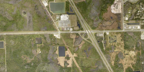
Project facts and sources
Project information & sources
- Approvals & permits
Not confirmed.
- Size & completion
Planned / reported: 496 homes proposed
Cleared to live in: Not confirmed.
Homes sold: Not confirmed.
August report: 496 apartments proposed; amendment pending. Hotel rooms are excluded. A complete city list of homes cleared to live in is not confirmed.
Full completion unconfirmed.
- Things to know
The August 2026 draft uses 496 homes in one table but allows a 372–620 range through use conversions elsewhere. Its proposed five-story/60-foot height, 30% open-space and 15% natural-vegetation limits remain attributed to the draft and earlier agreement. These are development standards, not a final residential approval or proof of a protected boundary.
- What happens next
The plans are under review.
- Sources
Sources checked: Oct 30, 2026
See the source links in the project history.
County parcel transaction tables checked November 10, 2026. Amounts and vacant/improved labels describe the indexed transactions, not construction progress or appraised values. Multi-parcel amounts are not allocated to individual sites. The county cautions that these tables are not a complete chain of title; deed parties and boundaries require the original recorded instruments.
County permit-summary entries checked November 10, 2026. Historical entries may concern earlier site uses and do not establish approval or completion of the current proposal. The property appraiser directs permit-status questions to the relevant building department.
Land sale · checked October 30. County records list Legacy Acquisitions Group LLC on three parcels totaling about 184.52 acres. All three reference one $10.2 million deed dated April 9, 2026, followed by a September 18 deed recorded at $100. The later amount is unexplained. The city proposal covers 181.14 acres; the full deed and acreage difference remain unconfirmed. The sale does not approve development. County parcel 8004347 ↗ · County parcel 3712625 ↗ · County parcel 8031981 ↗
Latest proposal: The August 25, 2026 report lists 496 apartments, a 150-room hotel, shops, restaurants, medical offices, assisted living and storage on 181.14 acres. Legacy Acquisitions Group LLC is listed as applicant and owner. July’s report used 469 apartments. The housing change remains pending, with the first hearing continued to December 8. August proposal and buildout ↗
Home-count qualification: The August 17 draft lists 496 units in section 3, but section 13 also allows a 372–620 residential range through use conversions. A final residential approval or unconditional unit ceiling has not been established. Hotel rooms are excluded from homes. Draft unit table ↗ · Conversion limits ↗
Five phases proposed on about 181.14 acres. Phase 1 includes RaceTrac and a public road. Later phases could proceed in any order once required infrastructure is provided. Hale Surratt Engineers prepared the plans; the source shows the proposed phase boundaries and sizes. Phase plan ↗ · Proposed uses ↗
Dated parcel references: The August report lists developed parcels 7321-02-00-0010 and 7321-02-00-0020, and undeveloped parcels 7321-00-00-0020, 7322-00-00-0050 and 7322-00-00-0054. These are report references, not a current title search or surveyed boundary certification. Location and parcels ↗
Roads and drainage: Plans propose roundabouts, sidewalks and privately maintained drainage facilities. The draft also requires a $100,000 State Road 44 landscaping payment after Phase 2 infrastructure is certified complete. Payment is unconfirmed. Stormwater requirement ↗ · Landscaping obligation ↗ · Access plan ↗
The report describes more than $621,000 paid toward road obligations. The separate $453,143 county budget entry is a different accounting measure; no bank receipt or total reconciliation is verified here. Site, building, inspection and occupancy records remain incomplete. Further permits required ↗
The city’s business-impact form lists “None” for the proposed ordinance’s specified direct business costs, new charges and affected-business estimate. It does not establish total infrastructure costs or verify road payments. City business-impact form ↗
Historical Phase 2 applicant: June 22, 2021 minutes identify Michael Lopez, represented by Mark Watts of Cobb Cole. The separate hotel hearing identifies attorney Darren Elkind. These are historical roles, not verified current builders.
Older hotel plans: The 2019–20 records describe a 47.07-acre property and 39.917-acre work area, different from the proposed 2026 phases. They name Tri³, Base 4, Magley Design and The Collage Companies; the current team is unconfirmed. 2020 response ↗ · 2019 hotel plans ↗
County map ownership check, October 28. The county layer lists Legacy Acquisitions Group LLC on three known parent parcels. RaceTrac and the city are listed separately on the two Phase 1 parcels. This adds to the dated applicant history above; deeds, successor lots and the complete current project boundary remain unverified. County parcel records ↗
News coverage · 1 link
- City Commission postpones Ocean Gate hearing
City of New Smyrna Beach · 2026-08-26 · City news release
Funding & public costs
Ocean Gate Phase 2 · County road funding · November 16, 2021.
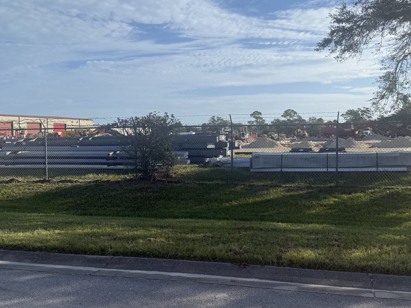 Photo
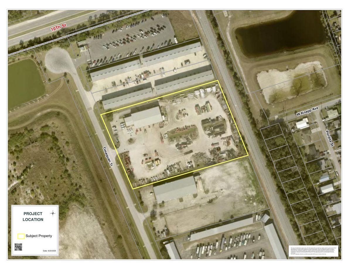 Satellite · city outline
Expand for details6 records · 2 photos · map & project info
Timeline and votes
Decisions & project history
Newest firstOwner field photos · Received date
Site photos added
Record details & sources
The owner’s Timaquan Trail photos show equipment, stored materials and aggregate piles inside Mersino’s fenced yard. They do not by themselves establish that the proposed warehouse extension is under construction. Capture dates unavailable.
Edgewater Development Services · Project update
Mersino Site Plan Extension: city report update
Record details & sources
The warehouse expansion was being reviewed.
Original public record
Quarterly narrative reports technical site-plan approval
Record details & sources
The July–September department narrative says the Technical Review Committee approved the site plan at 411–413 Timaquan Trail. The same report’s project table still says Under Site Plan Review. The narrative does not provide the exact approval date, conditions or individual ballots. This entry records the quarter-end source snapshot, not a new September 30 vote or an issued building permit.
City case record · Record
Warehouse/office extension listed · SP-2606
Agenda entry; decision unconfirmedRecord details & sources
City staff report · Public notice
Neighbor notices mailed for the warehouse extension
Record details & sources
The staff report records notices mailed to addresses within 500 feet ahead of the September committee hearing. This entry does not establish a decision.
City project record · Application history
Warehouse-extension application submitted · SP-2606
Record details & sources
Staff dates the first application April 2, 2026. The proposal adds about 9,720 square feet of warehouse and office space at 411 Timaquan Trail. The listed owner is Mersino Properties Company, LLC.
Photos and map
Photos & map


Project facts and sources
Project information & sources
- People & companies
Owner: Mersino Properties Company, LLC · Builder not confirmed
Owner: Mersino Properties Company, LLC. Applicant: Joseph H. Hopkins, P.E. Staff report
- Approvals & permits
Warehouse expansion under review in project table; department summary also reports an approval.
- Size & completion
Project size: About 9,720 square feet of proposed warehouse and office expansion.
Completion: See the dated approvals and project history.
- Things to know
Field photo update: The owner’s Timaquan Trail photos show equipment, stored materials and aggregate piles inside Mersino’s fenced yard. They do not by themselves establish that the proposed warehouse extension is under construction. Photos received October 31, 2026; capture dates unavailable.
Expansion of Current Warehouse. The warehouse expansion was being reviewed.
The roughly five-acre site has an Industrial future-land-use designation and lies in the Parktowne Industrial planned unit development. The proposal includes parking and reports 159,583.06 square feet of impervious area, or 73.3% of the entire site; that is surface coverage, separate from the proposed 9,720-square-foot building extension. Staff reports three technical reviews and Parktowne Association approval of the building facades. Those findings do not establish an issued construction permit. City staff report ↗
- What happens next
The plans are under review.
- Sources
Sources checked: Oct 23, 2026
Original city applications and submission histories checked November 5, 2026. Case statuses and review dates are distinct from building permits and completed construction.
Additional site, impervious-area and facade-review details checked in the original SP-2606 staff report November 15, 2026.
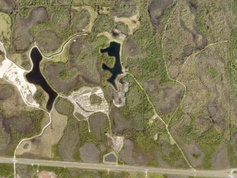 Satellite · application area
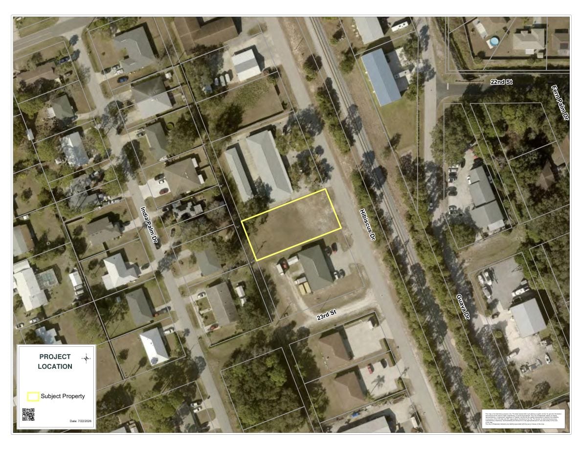 Satellite · city outline
Expand for details14 records · 1 vote record · map & project info
Timeline and votes
Decisions & project history
Newest firstEdgewater Development Services · Project update
Morrissette Warehouse- Hibiscus: city report update
Record details & sources
The warehouse layout was being reviewed.
Edgewater Planning and Zoning Board · Decision
Warehouse design variances approved · VA-2618
Approved 7–0Who voted?
Thomas Duane YESRyan Solstice YESKatie Williams YESJames McGinnis YESRobert Andrejkovics YESChris Hatcher YESDwight Cunningham YESRecord details & sources
Edgewater · Original variance case
City creates warehouse-variance case VA-2618
Record details & sources
The city case was created August 5 for 2224 Hibiscus Drive, parcel 8402-01-06-8680. It names Brent Merilson as owner/applicant and describes site-plan case SP-2608: a 4,380-square-foot steel warehouse on 13,680 square feet. The requested variances are 32.2% maximum building coverage instead of 30% and a 10-foot side landscape buffer instead of 15 feet. The later August 12 decision is recorded separately; case creation does not establish a building permit or start of construction. Original VA-2618 case · file-created date and staff narrative ↗
Submitted warehouse site plan · Dated design record
Site-plan drawings carry May 20 engineering signatures
Record details & sources
The city-filed nine-sheet site-plan attachment identifies 2224 Hibiscus Drive and parcel 840201068680. The cover carries a January 22, 2026 drawing issue date and a May 20 digital signature by Thomas Williams, with Williams Engineering PLC as design firm and OSM Development LLC as client. The design describes a 4,380-square-foot steel warehouse, parking, landscaping and water retention on a 13,680-square-foot lot. These are drawing dates and source-listed roles, not a city permit-issuance date, construction start or proof that the named client owns the property. Original city-filed site-plan attachment · cover and dated signatures ↗
Volusia County Property Appraiser · Historical sales index
County index records a quitclaim transaction
Record details & sources
The county appraiser’s sales index for parcel 840201068680 (alternate key 3930461), at 2224 Hibiscus Drive, lists a quitclaim deed entry under sale date 2026-02-24, book/page 8818/4951, instrument 2026034294, with a listed $100 amount and unqualified classification. This is the appraiser’s historical transaction entry, not an independently reviewed deed, verified closing date, development approval or construction cost. The index does not provide a complete chain of title. County parcel sales history · exact parcel 840201068680 ↗
Volusia County Property Appraiser · Historical sales index
County index records a warranty transaction
Record details & sources
The county appraiser’s sales index for parcel 840201068680 (alternate key 3930461), at 2224 Hibiscus Drive, lists a warranty deed entry under sale date 2025-07-01, book/page 8723/2655, instrument 2025123852, with a listed $120,000 amount and unqualified classification. This is the appraiser’s historical transaction entry, not an independently reviewed deed, verified closing date, development approval or construction cost. The index does not provide a complete chain of title. County parcel sales history · exact parcel 840201068680 ↗
Volusia County Property Appraiser · Historical sales index
County index records a warranty transaction
Record details & sources
The county appraiser’s sales index for parcel 840201068680 (alternate key 3930461), at 2224 Hibiscus Drive, lists a warranty deed entry under sale date 2017-05-31, book/page 7414/4668, instrument 2017124474, with a listed $250,000 amount and multi-parcel classification. The $250,000 is indexed as a multi-parcel transaction, not an amount allocated to this warehouse parcel. This is the appraiser’s historical transaction entry, not an independently reviewed deed, verified closing date, development approval or construction cost. The index does not provide a complete chain of title. County parcel sales history · exact parcel 840201068680 ↗
Volusia County Property Appraiser · Historical sales index
County index records a warranty transaction
Record details & sources
The county appraiser’s sales index for parcel 840201068680 (alternate key 3930461), at 2224 Hibiscus Drive, lists a warranty deed entry under sale date 2012-03-09, book/page 6689/1236, instrument 2012043485, with a listed $25,000 amount and qualified classification. This is the appraiser’s historical transaction entry, not an independently reviewed deed, verified closing date, development approval or construction cost. The index does not provide a complete chain of title. County parcel sales history · exact parcel 840201068680 ↗
Volusia County Property Appraiser · Historical sales index
County index records a warranty transaction
Record details & sources
The county appraiser’s sales index for parcel 840201068680 (alternate key 3930461), at 2224 Hibiscus Drive, lists a warranty deed entry under sale date 2003-12-01, book/page 5219/2074, instrument 2003306778, with a listed $26,900 amount and unqualified classification. This is the appraiser’s historical transaction entry, not an independently reviewed deed, verified closing date, development approval or construction cost. The index does not provide a complete chain of title. County parcel sales history · exact parcel 840201068680 ↗
Volusia County Property Appraiser · Historical sales index
County index records a warranty transaction
Record details & sources
The county appraiser’s sales index for parcel 840201068680 (alternate key 3930461), at 2224 Hibiscus Drive, lists a warranty deed entry under sale date 2002-01-15, book/page 4806/2142, instrument 2002013116, with a listed $20,000 amount and unqualified classification. This is the appraiser’s historical transaction entry, not an independently reviewed deed, verified closing date, development approval or construction cost. The index does not provide a complete chain of title. County parcel sales history · exact parcel 840201068680 ↗
Volusia County Property Appraiser · Historical sales index
County index records a warranty transaction
Record details & sources
The county appraiser’s sales index for parcel 840201068680 (alternate key 3930461), at 2224 Hibiscus Drive, lists a warranty deed entry under sale date 1994-06-15, book/page 3928/2266, instrument 1994088927, with a listed $100 amount and unqualified classification. This is the appraiser’s historical transaction entry, not an independently reviewed deed, verified closing date, development approval or construction cost. The index does not provide a complete chain of title. County parcel sales history · exact parcel 840201068680 ↗
Volusia County Property Appraiser · Historical sales index
County index records a quitclaim transaction
Record details & sources
The county appraiser’s sales index for parcel 840201068680 (alternate key 3930461), at 2224 Hibiscus Drive, lists a quitclaim deed entry under sale date 1993-05-15, book/page 3826/1080, instrument 1993061960, with a listed $100 amount and unqualified classification. This is the appraiser’s historical transaction entry, not an independently reviewed deed, verified closing date, development approval or construction cost. The index does not provide a complete chain of title. County parcel sales history · exact parcel 840201068680 ↗
Volusia County Property Appraiser · Historical sales index
County index records a warranty transaction
Record details & sources
The county appraiser’s sales index for parcel 840201068680 (alternate key 3930461), at 2224 Hibiscus Drive, lists a warranty deed entry under sale date 1989-05-15, book/page 3304/1732, with a listed $17,900 amount and unqualified classification. This is the appraiser’s historical transaction entry, not an independently reviewed deed, verified closing date, development approval or construction cost. The index does not provide a complete chain of title. County parcel sales history · exact parcel 840201068680 ↗
Volusia County Property Appraiser · Historical sales index
County index records a warranty transaction
Record details & sources
The county appraiser’s sales index for parcel 840201068680 (alternate key 3930461), at 2224 Hibiscus Drive, lists a warranty deed entry under sale date 1987-01-15, book/page 2925/0082, with a listed $26,000 amount and unqualified classification. This is the appraiser’s historical transaction entry, not an independently reviewed deed, verified closing date, development approval or construction cost. The index does not provide a complete chain of title. County parcel sales history · exact parcel 840201068680 ↗
Photos and map
Photos & map

Project facts and sources
Project information & sources
- People & companies
The September 30, 2026 city report lists Mark Morrissette as project contact at 2224 Hibiscus Drive. The city variance case separately identifies Brent Merilson as owner/applicant; the county lists Meristar Investments LLC as owner; the site-plan cover names Williams Engineering PLC as design firm and OSM Development LLC as client. These are source-specific roles, not proof that the contact or plan client owns the property or holds an awarded construction contract. Original source-listed roles ↗ · County exact parcel record ↗
The attached site-plan cover names Williams Engineering PLC as design firm, Thomas Williams as signer and OSM Development LLC as client. These are drawing-specific roles, separate from the city variance applicant and current county-listed owner. The nine-sheet set’s January 22 drawing issue date and May 20 signatures do not establish a city permit or construction progress. Original site-plan cover and signatures ↗
The July–September 2026 city report separately lists Mark Morrissette as project contact. That dated contact listing does not establish current ownership or an awarded construction contract. Original city quarterly report ↗
- Approvals & permits
Warehouse site layout under review (September 2026 report).
The county permit summary supplies only a 1989 well/pump/irrigation entry at this check; it is secondary data and is not proof that no later city building record exists. The variance decision and September site-layout report do not establish a building permit, completed warehouse or occupancy approval. Original case and review record ↗
- Size & completion
Project size: Proposed 4,380-square-foot warehouse.
Completion: See the dated approvals and project history.
The county appraiser lists Meristar Investments LLC as current owner of parcel 840201068680 at 2224 Hibiscus Drive, alternate key 3930461, Lots 6868 and 6869, Block 225, Florida Shores No. 7 Revised Plat. The city’s August 2026 variance case separately identifies Brent Merilson as owner/applicant. These are source-specific identities; the reviewed records do not establish his legal role within the LLC. The city report’s Morrissette project name is retained as an existing identifier, not an assertion that Morrissette currently owns the land or is the awarded contractor. County exact parcel record ↗
The appraiser’s sales index supplies dated land-transaction entries back to 1987. These are land history, not the start dates or approvals of the present warehouse proposal. The 2017 $250,000 transaction is explicitly multi-parcel and is not assigned to this parcel alone. The nominal $100 quitclaim and other unqualified entries are not treated as verified market values. The actual deeds and a complete title chain remain unverified. County exact parcel record ↗
- Things to know
The appraiser’s sales index supplies dated land-transaction entries back to 1987. These are land history, not the start dates or approvals of the present warehouse proposal. The 2017 $250,000 transaction is explicitly multi-parcel and is not assigned to this parcel alone. The nominal $100 quitclaim and other unqualified entries are not treated as verified market values. The actual deeds and a complete title chain remain unverified. County exact parcel record ↗
The attached site-plan cover names Williams Engineering PLC as design firm, Thomas Williams as signer and OSM Development LLC as client. These are drawing-specific roles, separate from the city variance applicant and current county-listed owner. The nine-sheet set’s January 22 drawing issue date and May 20 signatures do not establish a city permit or construction progress. Original site plan ↗
Sheet S4 of the filed plan shows five parking spaces, including one accessible space. It also marks 741 square feet of potential future parking and says that area is included as impervious surface in the 100-year storm analysis. Roof gutters, pavement grading, retention swales and a driveway trench drain/berm direct runoff toward retention. The S4 parking calculation uses 4,080 square feet, while the cover and variance narrative describe 4,380 square feet; those differing drawing figures remain unreconciled. These are proposed design details, not proof of installed parking or completed drainage. Filed parking plan · S4 ↗
- What happens next
The plans are under review.
- Sources
Sources checked: Oct 23, 2026
Additional original records checked November 10, 2026. Historical predecessor scopes, issued and pending sequences, named roles, dated funding actions and ownership records remain separate facts; full lifecycle and construction completion remain unconfirmed.
Additional parking and drainage details on sheet S4 checked November 15, 2026.
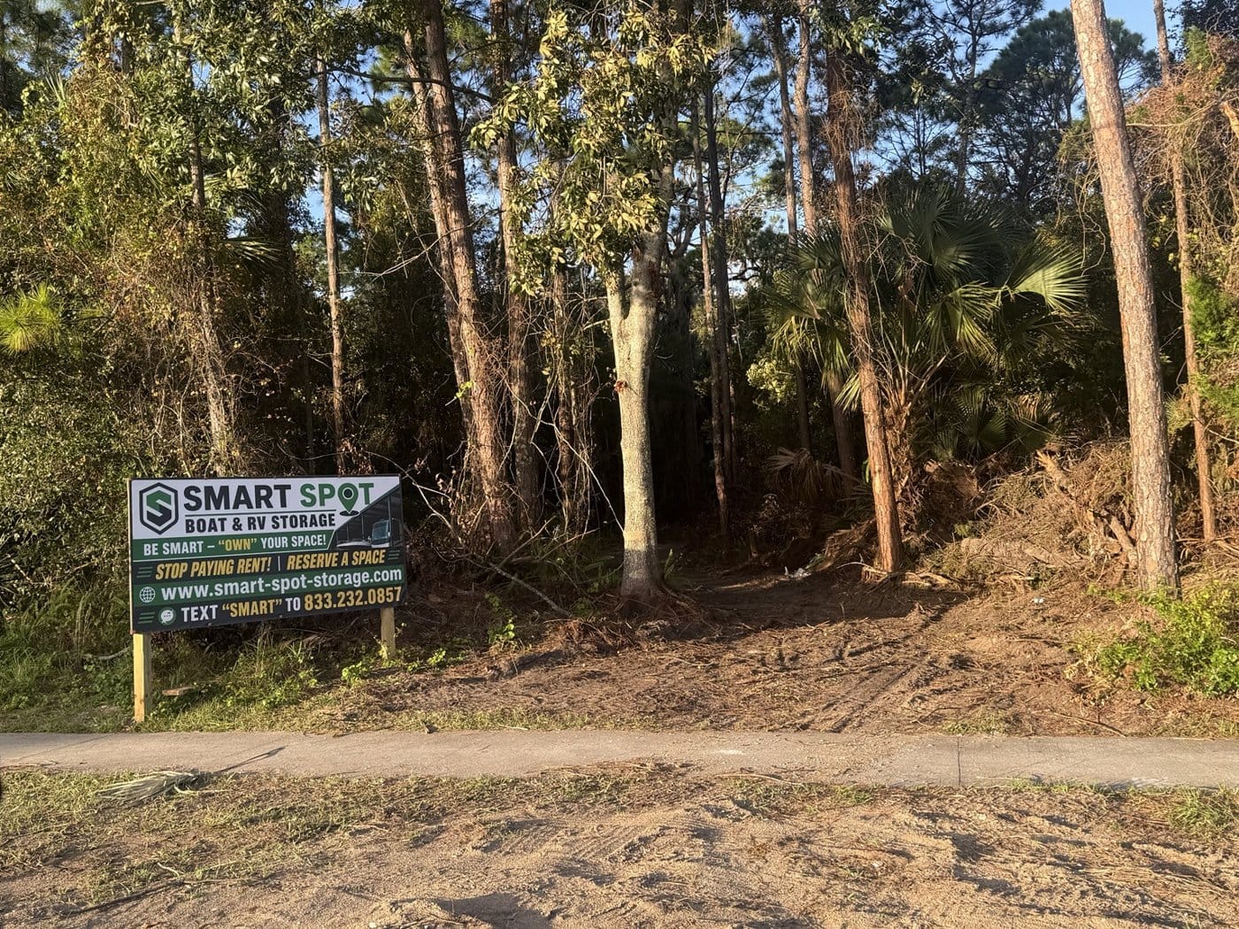 Photo
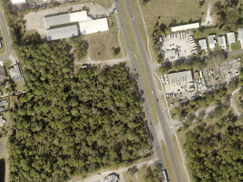 Satellite · reference point
Expand for details7 records · 4 vote records · 1 photo · map & project info
Timeline and votes
Decisions & project history
Newest firstEdgewater Planning and Zoning Board · Decision
Boat and RV storage use approved
Approved · vote tally not verified
Record details & sources
The city’s CU-2603 case page records approval of the boat and RV storage use on three parcels: 8412-02-08-0040, 8412-02-08-0010 and 8412-02-08-0090. This approves the type of use; it does not confirm that construction permits have been issued.
City case and filed plans ↗Edgewater City Council · Decision
Annexation approved at final review of the proposed law · 2026-O-07
Approved 5–0
Edgewater City Council · Individual votes
Diezel DePew YESCharlotte Gillis YESMike Thomas YESDebbie Dolbow YESEric Rainbird YESRecord details & sources
The Council annexed the three project parcels west of Starboard Avenue and east of San Remo into Edgewater. Annexation is separate from rezoning and the later storage-site plan.
Original Council minutes ↗Edgewater City Council · Decision
Commercial land-use designation approved · 2026-O-08
Approved 5–0
Edgewater City Council · Individual votes
Diezel DePew YESCharlotte Gillis YESMike Thomas YESDebbie Dolbow YESEric Rainbird YESRecord details & sources
The Council changed the Future Land Use Map for the same three parcels from county Commercial and Urban Low Intensity to City Commercial. This is separate from the zoning ordinance.
Original Council minutes ↗Edgewater City Council · Decision
Commercial rezoning approved at final review of the proposed law · 2026-O-09
Approved 5–0Edgewater City Council · Individual votes
Diezel DePew YESCharlotte Gillis YESMike Thomas YESDebbie Dolbow YESEric Rainbird YESRecord details & sources
Council approved Highway Commercial zoning for the 2.95-acre site west of Starboard Avenue and east of San Remo.
Official city record ↗Original Council minutes ↗Edgewater City Council · Decision
First rezoning reading approved · 2026-O-09
ApprovedRecord details & sources
The case history records a passed Council action before the final August reading.
Official city record ↗Edgewater Planning and Zoning Board · Decision
Commercial rezoning recommended · 2026-O-09
Recommendation passedRecord details & sources
The board recommended approval of the rezoning.
Official city record ↗Edgewater Development Services · Project update
Seyler recreational vehicle Boat Storage: city report update
Record details & sources
The city was awaiting documentation for the recreational vehicle and boat-storage proposal.
Photos and map
Photos & map

Project facts and sources
Project information & sources
- People & companies
The city filing names Hanford & Miller, Inc. as owner and Jeffrey Seyler as applicant. Smart Spot’s published preliminary layout matches the layout filed with the city for this Seyler project.
- Approvals & permits
120 spaces proposed; boat and RV storage use approved August 12.
The city case page records approval to use the land for boat and RV storage on August 12, 2026. Final site-plan approval, construction permits and an opening date are not confirmed.
- Size & completion
Project size: About 120 proposed covered and uncovered boat and RV spaces.
Completion: See the dated approvals and project history.
- Things to know
About 120 covered and uncovered boat and RV spaces beside South Ridgewood Avenue, south of 30th Street. Smart Spot markets spaces for purchase rather than monthly rental.
The property also received commercial zoning in August.
The September 2026 city report still listed paperwork as outstanding. The operator describes its layout as preliminary.
Access and emergency entry: The city staff report describes a planned request to vacate an unimproved road for private access from U.S. 1. It says the road would not connect to the residential subdivision west of the site. This does not establish that the road vacation was approved. Fire staff requested Click2Enter and a Knox override for electric gates, or a Knox padlock for manual gates.
Utilities: The report anticipates water, sewer and trash service; reclaimed water was unavailable. These statements do not establish installed connections or permission to operate.
- What happens next
The plans are under review.
- Sources
Sources checked: Oct 23, 2026
- Smart Spot preliminary layout ↗
- Project website ↗
- City-filed layout ↗
- Find this project on the city report map ↗
Additional site-design details checked November 5, 2026: Original city staff report ↗.
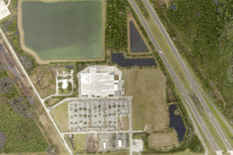 Satellite · reference point
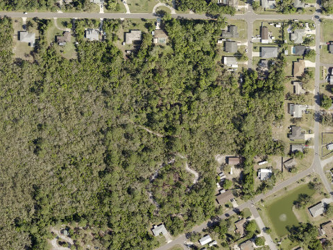 Satellite · application area
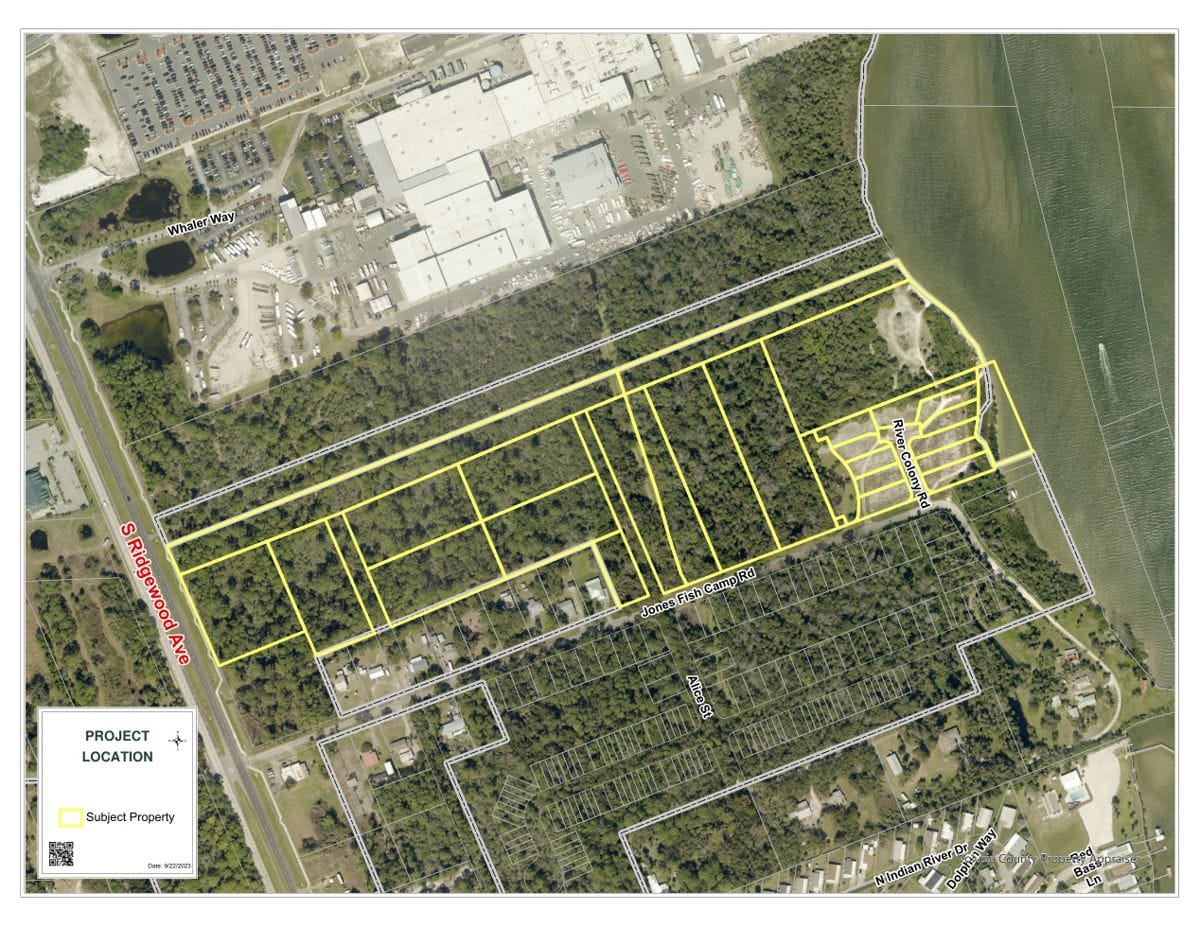 Satellite · city outline
Expand for details7 records · 4 vote records · map & project info
Timeline and votes
Decisions & project history
Newest firstSt. Johns River Water Management District · Information request
District asks for more on manatee protections
Record details & sources
District staff found the July response incomplete. They asked for county documentation of the slip count and fees under its manatee protection plan, along with clarification of the shoreline easement shown on the drawings. The district application still showed pending on November 9.
St. Johns River Water Management District · Filed record
Phase 1 application describes marina and commercial facilities
Record details & sources
The application describes dry-stack storage, a splash pad, marina store/restaurant, additional shops/restaurants, ten boat slips and a resort with riverside amenities on 18.18 acres, with parking and stormwater infrastructure. Indian River Shoreline LLC is the applicant. The district case remains pending at the October 31, 2026 check. This original scope is distinguished from the later city site-plan approval.
Edgewater City Council · Road agreement
Jones Fish Camp Road agreement approved
Approved 4–0 · Mike Thomas excusedEdgewater City Council · Individual votes
Diezel DePew YESCharlotte Gillis YESDebbie Dolbow YESEric Rainbird YESMike Thomas EXCUSEDRecord details & sources
The Council approved the Jones Fish Camp Road agreement serving the broader River Oaks mixed-use site. This is separate from the later marina site-plan approval; it does not establish hotel approval or completed construction.
The minutes describe two roundabouts, a bike path, underground utilities and improved drainage. They record a five-year completion requirement and a City share of $1,888,155.82; this is an agreement commitment, not money verified as spent.
Edgewater City Council · Decision
Marina site plan approved · SP-2412
Approved 3–2Edgewater City Council · Individual votes
Diezel DePew NOCharlotte Gillis NOMike Thomas YESDebbie Dolbow YESEric Rainbird YESRecord details & sources
The recorded action covers dry-stack boat storage, a marina and a restaurant at 161 Jones Fish Camp Road. It does not establish hotel approval or completion.
Official city record ↗The approved proposal includes 338 dry boat-storage slips, 10 wet slips and a 400-seat restaurant on 18.8 acres. The hotel is excluded from this application. The minutes record commitments to replant mangroves in previously cleared areas and remove invasive plants.
Original Council minutes ↗Edgewater Planning and Zoning Board · Decision
Marina site-plan motion passes · SP-2412
Motion passedRecord details & sources
The board meeting record lists a passed approval motion for the marina site plan before the August Council action.
Official city record ↗Edgewater Development Services · Project update
Edgewater River Oaks Marina: city report update
Record details & sources
The marina and hotel layout was being reviewed. The report labels its size as “60 units and hotel”; the housing portion has not been separated.
Edgewater Planning and Zoning Board · Recommendation
River Oaks: recommend mixed-use rezoning for about 36.4 acres
Recommendation passed 6–0Who voted?
Albert Amalfitano YESRobert Andrejkovics YESThomas Duane YESGeorge Kennedy YESPaul Wright YESChris Hatcher YESRecord details & sources
Photos and map
Photos & map

Project facts and sources
Project information & sources
- Approvals & permits
The council approved the marina site plan August 3, 2026. The separate water district application remains pending.
Marina plans still under water-district review · checked October 31. Indian River Shoreline LLC applied January 16, 2025 for an 18.18-acre first phase with boat storage, ten slips, shops, restaurants, a splash pad and resort amenities. The separate August 3, 2026 city approval does not confirm that every feature has permits or is built. Live district case 183840-7
- Size & completion
Project size: First phase covers 18.18 acres, with 338 dry boat-storage slips, 10 wet slips and a 400-seat restaurant.
Completion: See the dated approvals and project history.
- Things to know
The Council record approves the dry-stack boat storage, marina and restaurant at 161 Jones Fish Camp Road. The September report still describes review of a marina/hotel proposal; those descriptions are retained separately.
The city aerial outlines the broader River Oaks mixed-use site. It includes land for the separate Yardly residential component; this is not a marina-only footprint, and its housing is not added twice to the subtotal.
Marina and hotel · housing count unconfirmed. The marina and hotel layout was being reviewed. The report labels its size as “60 units and hotel”; the housing portion has not been separated.
- What happens next
The plans are under review.
- Sources
Sources checked: Oct 23, 2026 · District Nov 9, 2026
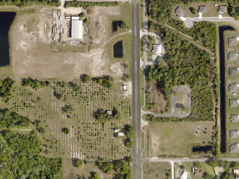 Satellite · reference point
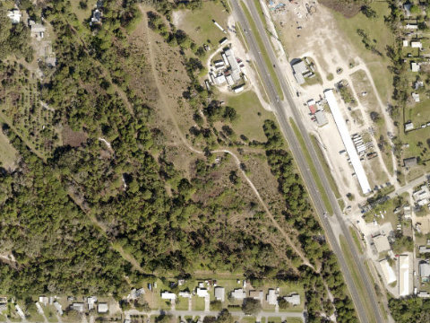 Satellite · reference point
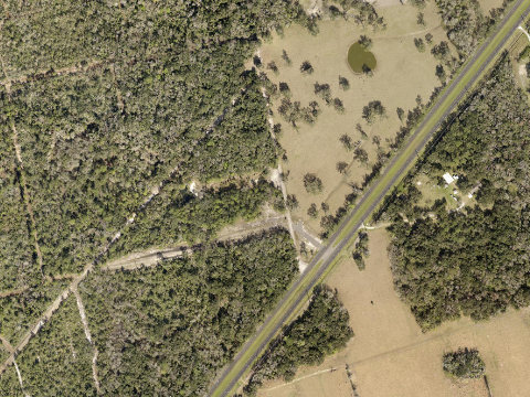 Satellite · application area
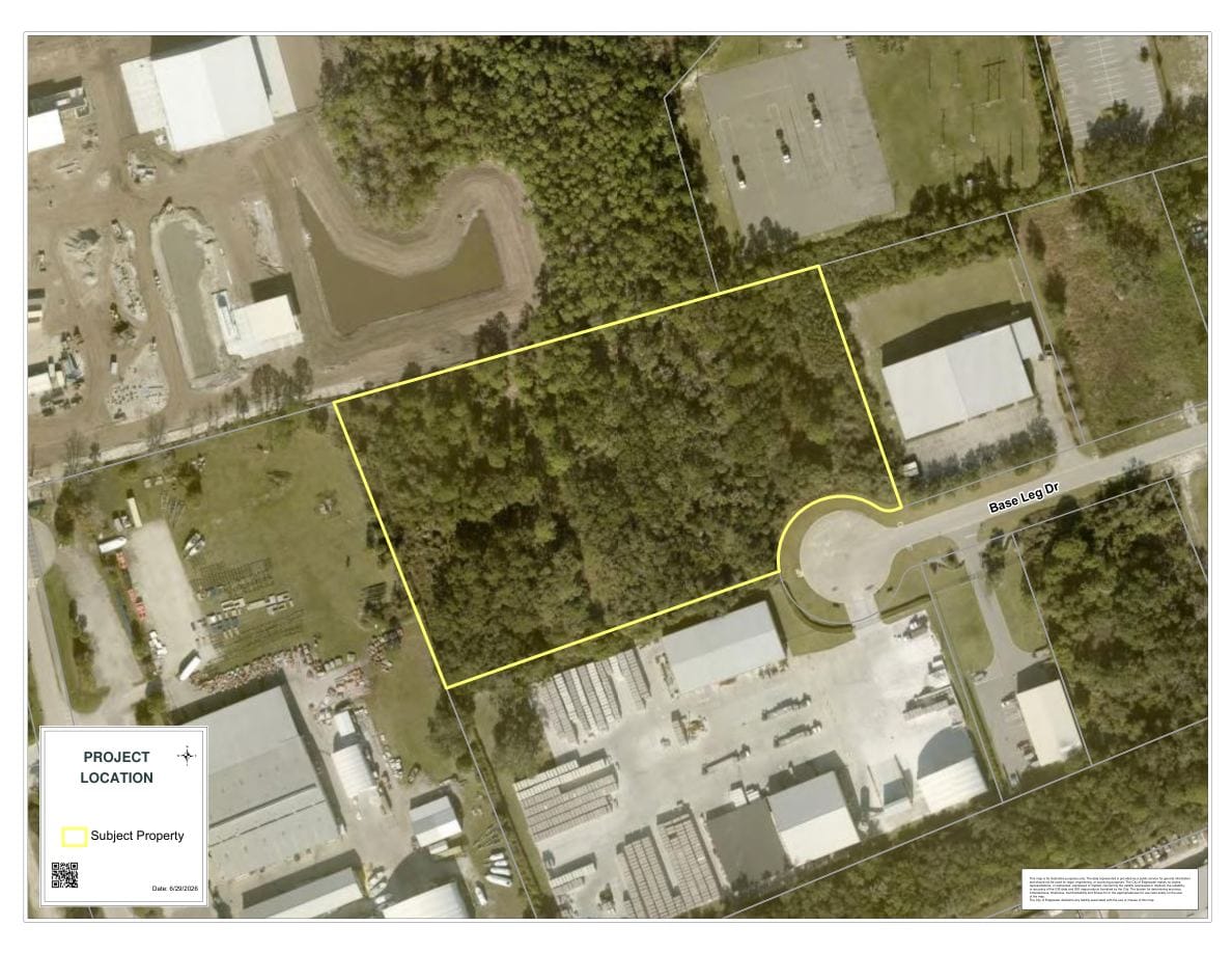 Satellite · city outline
Expand for details4 records · map & project info
Timeline and votes
Decisions & project history
Newest firstEdgewater Development Services · Project update
321 Base Leg Drive: city report update
Record details & sources
The office and warehouse layout was being reviewed.
Edgewater Technical Review Committee · Decision
Flex warehouse and office site plan approved · SP-2603
Site plan approvedRecord details & sources
City staff report · Public notice
Neighbor notices mailed for the flex-warehouse review
Record details & sources
The staff report records notices mailed to addresses within 500 feet of the proposed site. The application and later committee approval remain separate entries.
City project record · Application history
Flex-warehouse application submitted · SP-2603
Record details & sources
Staff dates the first application March 20, 2026. RAG Ventures, LLC is the applicant for about 94,450 square feet of warehouse and office space at 321 Base Leg Drive.
Photos and map
Photos & map

Project facts and sources
Project information & sources
- People & companies
Applicant: RAG Ventures, LLC · Builder not confirmed
Listed application team: RAG Ventures, LLC and Robert Guariella. The proposal is for flex warehouse and office space. Staff report
- Approvals & permits
Committee approved SP-2603 July 21, 2026; September city table still listed layout review. Issued building permit unconfirmed.
- Size & completion
Project size: About 94,450 square feet of flex warehouse and office space on 5.84 acres.
Completion: See the dated approvals and project history.
- Things to know
Office and warehouse space within Parktowne Industrial Center. The office and warehouse layout was being reviewed.
- What happens next
The site-plan approval and the later city table need to remain distinct. An issued building permit and construction start are not established by these records.
- Sources
Sources checked: Oct 23, 2026
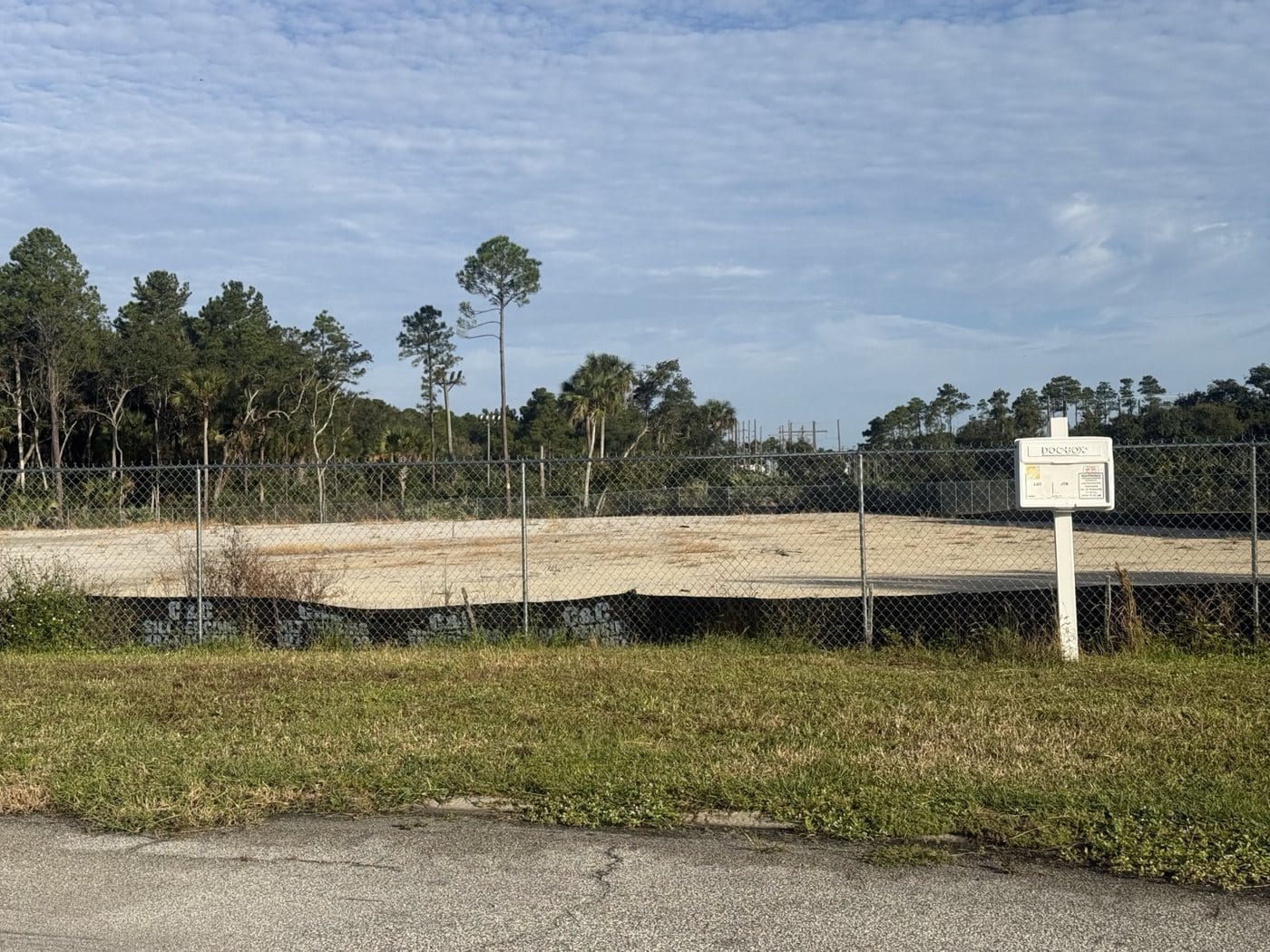 Photo
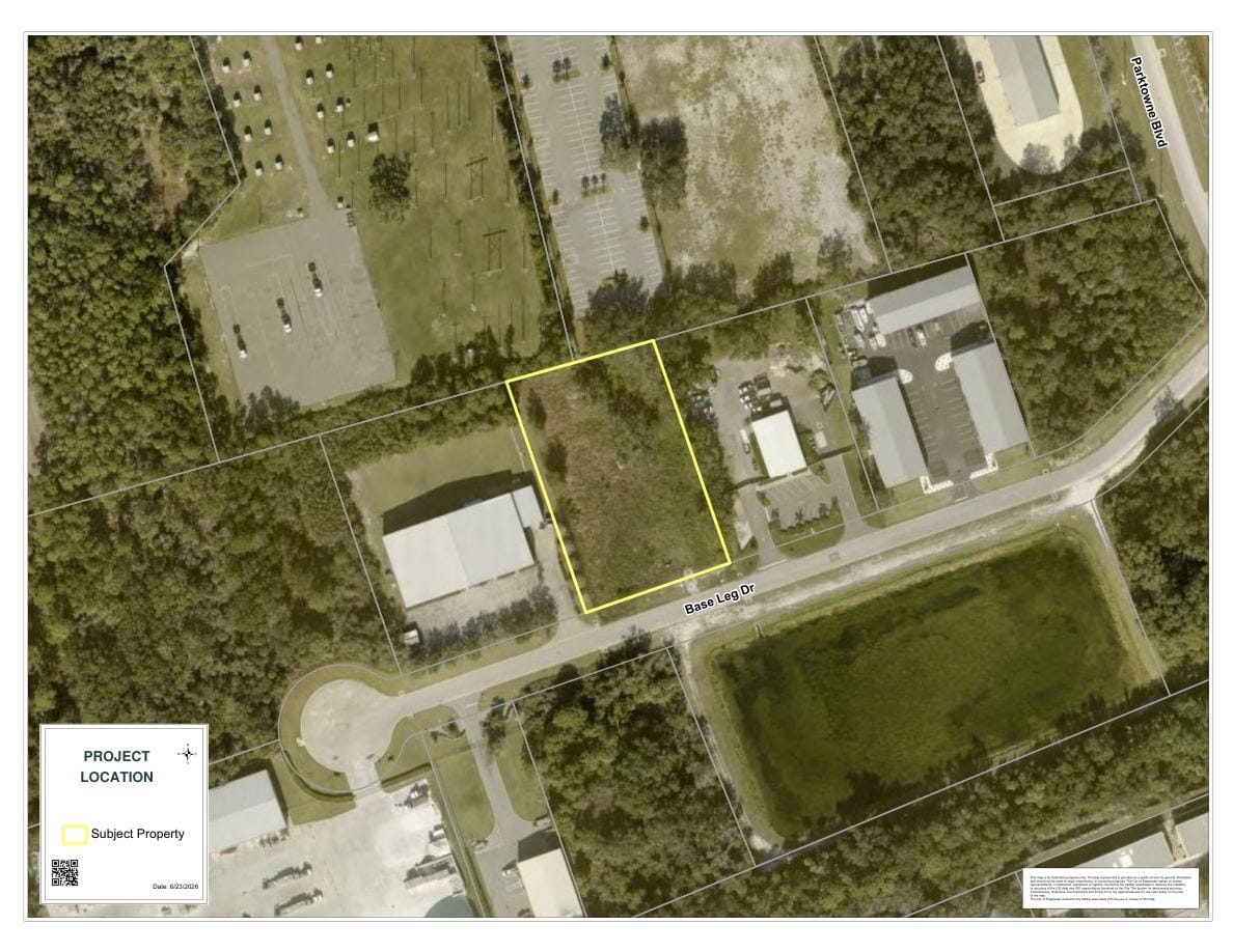 Satellite · city outline
Expand for details9 records · 1 photo · map & project info
Timeline and votes
Decisions & project history
Newest firstOwner field photos · Received date
Site photos added
Record details & sources
Owner photo shows a cleared lot behind chain-link and erosion-control fencing, with a site document box. The lineman training yard is visible behind it, matching the city’s site aerial. No warehouse building is visible in this view. Capture date unavailable.
Edgewater Development Services · Historical record
Earlier warehouse project listed with expired permit
Record details & sources
The June 2025 city table lists LMR Construction at the same 313 Base Leg Drive address, describing construction, new ownership and an expired building permit. This is the predecessor record; it does not establish the later revised plan’s contractor or permit status.
Official city report ↗Edgewater Development Services · Project update
HPCG, LLC: city report update
Record details & sources
New ownership; a revised layout was being reviewed.
Edgewater Technical Review Committee · Decision
Warehouse, office and mezzanine site plan approved · SP-2512
Site plan approvedRecord details & sources
City staff report · Public notice
Neighbor notices mailed for the warehouse review
Record details & sources
The staff report records notices mailed to addresses within 500 feet of the proposed site. This is a public-notice milestone, separate from the later committee approval.
City project record · Application history
Revised warehouse application submitted · SP-2512
Record details & sources
Staff dates the first application July 7, 2025, for about 19,500 square feet of warehouse, office and mezzanine space at 313 Base Leg Drive. Joseph Hopkins is the engineering applicant; the report does not identify a building contractor.
Edgewater Development Services · Historical report
Predecessor warehouse under construction
Record details & sources
The April 1 report lists LMR Construction at 313 Base Leg Drive under construction, permit 22-3656. This is the earlier project, before HPCG’s revised proposal.
Edgewater Development Services · Historical report
Predecessor warehouse development order issued
Record details & sources
The December report dates LMR’s development order at 313 Base Leg Drive to October 21, 2022.
Edgewater Development Services · Historical report
Predecessor warehouse plan under review
Record details & sources
The March report lists LMR’s warehouse, office and contractor yard at 313 Base Leg Drive under review, before HPCG’s revised proposal.
Photos and map
Photos & map


Project facts and sources
Project information & sources
- People & companies
Applicant: Joseph Hopkins, P.E. The application concerns warehouse, office and mezzanine space. Staff report
- Approvals & permits
Committee approved SP-2512 July 21, 2026; September city table still listed revised-layout review. Current building permit unconfirmed.
- Size & completion
Project size: About 19,500 square feet of warehouse, office and mezzanine space on 1.50 acres.
Completion: See the dated approvals and project history.
- Things to know
Field photo update: Owner photo shows a cleared lot behind chain-link and erosion-control fencing, with a site document box. The lineman training yard is visible behind it, matching the city’s site aerial. No warehouse building is visible in this view. Photos received October 31, 2026; capture dates unavailable.
Warehouse, Office, Contractor Storage Yard. New ownership; a revised layout was being reviewed.
The original SP-2512 narrative describes three technical reviews, including review by the city’s contracted engineer Mead and Hunt. It also says the Parktowne Association approved the building facades. This architectural review is separate from construction-permit issuance, occupancy and the older LMR project. Original design-review details ↗
- What happens next
A current building permit and construction start for the revised HPCG proposal are unconfirmed. The older LMR permit and construction history belong to the predecessor project.
- Sources
Sources checked: Oct 23, 2026
Historical city reports checked November 5, 2026. Report snapshots describe their stated dates, not current status. The October–December report repeats September tables; only its dated quarter narrative is used for the drainage update.
Earlier city-report history checked November 5, 2026. Report snapshots retain their stated dates and earlier phase counts; they do not establish current permits, occupancy or complete project history.
Additional facade-approval and technical-review details checked in the exact original SP-2512 narrative November 15, 2026.
 Satellite · application area
 Satellite · reference point
Expand for details5 records · 1 vote record · map & project info
Timeline and votes
Decisions & project history
Newest firstEdgewater Development Services · Project update
Philco Commercial Warehouse: city report update
Record details & sources
The earlier warehouse plan and a larger revised proposal are listed separately in the city report.
Edgewater Development Services · Project update
Philco Construction: city report update
Record details & sources
A larger warehouse proposal at 2611–2623 Guava Drive was being reviewed; this follows the earlier Philco plan.
City project record · Application history
Expanded Philco application submitted · SP-2604
Record details & sources
Staff dates the expanded site's first application April 27, 2026. Philco Construction is the applicant for a 5,000-square-foot warehouse and office building at 2611–2623 Guava Drive. This is the enlarged proposal, separate from the earlier 2,300-square-foot plan.
City project record · Project update
Earlier Philco development order issued
Record details & sources
The March 2026 city report identifies March 25, 2025 as the original development-order date. It separately describes a later expansion onto more land; the earlier approval does not establish approval of that enlarged proposal.
Edgewater Planning and Zoning Board
Earlier warehouse design exceptions approved · VA-2309
Motion approved 6–0
Individual votes
George Kennedy YESRobert Andrejkovics YESThomas Duane YESAlbert Amalfitano ABSENTEric Rainbird YESPaul Wright YESChris Hatcher YESRecord details & sources
The approval adds a six-foot privacy fence along the rear. These design exceptions concern the earlier warehouse, not the later enlarged proposal.
The Board approved design exceptions for the earlier 2,300-square-foot warehouse at 2611 Guava Drive, with conditions. This was separate from the later enlarged proposal.
Photos and map
Photos & map
Project facts and sources
Project information & sources
- People & companies
Applicant: Brian Borman / Philco Construction · Civil engineer: Anderson-Dixon · Construction contractor unconfirmed
- Approvals & permits
Expanded project undergoing a new site-layout review (September 2026 report).
- Size & completion
Project size: Expanded proposal: 5,000 square feet on about 0.61 acre, with seven parking spaces. Earlier plan: 2,300 square feet.
Completion: See the dated approvals and project history.
- Things to know
The expanded SP-2604 proposal combines parcels 840201066770, 840201066750 and 840201066730. It includes landscaping and a retention pond that overflows to the canal behind the site. City staff names Brian Borman of Philco Construction as applicant; the filed plans identify Richard J. Dixon of Anderson-Dixon as civil engineer and The Balmoral Group as drainage engineer. The staff recommendation does not establish final approval of this expanded layout. Original SP-2604 staff text ↗ · Filed SP-2604 site plans ↗
- What happens next
The plans are under review.
- Sources
Sources checked: Oct 23, 2026
Expanded footprint, parking, drainage and design-team details checked November 15, 2026 in the SP-2604 staff text and filed site plans. Original SP-2604 staff text ↗ · Filed SP-2604 site plans ↗
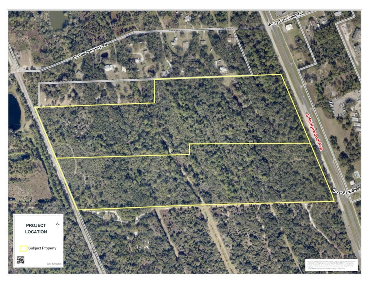 Satellite · city outline
Expand for details8 records · 3 vote records · map & project info
Timeline and votes
Decisions & project history
Newest firstCity project record · Application history
Early lot-layout application submitted · SD-2406
Record details & sources
Staff dates the first preliminary lot-layout submission July 29, 2024. The subsequent amended-plan case identifies Crestwood Investment, LLC as owner. Its heading calls the proposal 254 single-family homes, while its detailed breakdown contains 150 single-family homes and 104 townhomes. Other dated project counts remain separate pending clarification.
Edgewater Development Services · Project update
Crestwood: city report update
Record details & sources
The early lot layout was being reviewed.
Edgewater City Council · Decision
Council approves amended plan and early lot layout · SD-2406
ApprovedRecord details & sources
Edgewater Planning and Zoning Board · Recommendation
Crestwood subdivision: recommend plans and development-agreement amendment to Council
Motion passed 4–2. 1 absent. Recommendation to City Council.Who voted?
Thomas Duane YESPatrick Fisher NOJames McGinnis NORobert Andrejkovics YESChris Hatcher YESDwight Cunningham YESRecord details & sources
Edgewater city staff · Public notice
Public notice sign posted for amended plans
Record details & sources
The staff report records a public-notice sign posted on February 25, 2026 for the Crestwood amendment and preliminary plans. Notices were also mailed to addresses within 500 feet, without a separately stated mailing date. This notice preceded the recorded March recommendation and April council action.
Edgewater Planning and Zoning Board · Recommendation
Crestwood subdivision: postpone plans and development-agreement amendment
Motion to table passed 6–0.Who voted?
Thomas Duane YESPatrick Fisher YESJames McGinnis YESGeorge Kennedy YESRobert Andrejkovics YESChris Hatcher YESRecord details & sources
Edgewater City Council · Decision
Earlier development agreement approved · RZ-2207
ApprovedRecord details & sources
Edgewater Planning and Zoning Board · Recommendation
Planning board supports Crestwood’s development rules and agreement
Recommendation approvedRecord details & sources
The board recommended approval with conditions addressing flooding. The vote table repeats a name, so this entry does not assign votes to individual members.
Photos and map
Photos & map

Project facts and sources
Project information & sources
- People & companies
Owner: Crestwood Investment, LLC · Builder not confirmed
The SD-2406 staff report identifies Mark Goldschmidt as applicant for Crestwood Investment, LLC. Original applicant record ↗
- Approvals & permits
Council approved amended plans April 6, 2026; September report still lists early-layout review.
- Size & completion
Planned / reported: 276 reported homes
Cleared to live in: Not confirmed.
Homes sold: Not confirmed.
Reported project scope. A complete city list of homes cleared to live in is not confirmed.
Full completion unconfirmed.
- Things to know
The Council case records approval of the amended plan and early lot layout on April 6, 2026. The September report continues to list layout review; that later report entry does not erase the recorded Council action.
Cases RZ-2207 and SD-2406 · parcels 842400000030 and 842400000040 · about 74.665 acres. The April 2026 case heading describes 254 single-family homes, while its detailed plan breakdown contains 150 single-family homes and 104 townhomes; the September report lists 276 and the earlier agreement 288. These dated figures remain separate until the city resolves their scopes.
276 reported homes. The early lot layout was being reviewed.
The detailed 254-home plan breaks down into 112 single-family homes on 55-by-120-foot lots, 38 on 65-by-120-foot lots, 32 townhomes with two-car garages and 72 with one-car garages. The case heading and older inventory figures retain their source-specific wording and dates. Detailed unit schedule ↗
The amended design calls for public roads and three speed tables maintained by the homeowners association. The staff report describes 28.3% open space and preservation of all nine identified historic trees. It also requires a 530-foot planted pond shelf with at least 2,310 littoral plants.
The traffic review calls for a 430-foot northbound left-turn lane and a 405-foot southbound right-turn lane. These are required improvements in the plan, not evidence that either lane has been constructed. Original road and environmental requirements ↗
- What happens next
The April 6, 2026 council approval and the September table’s continued layout-review description are distinct records. The approved-plan, older-agreement and report unit counts differ; final construction permits and completed homes are not established by those planning records.
- Sources
Sources checked: Oct 23, 2026
Additional original applicant, detailed unit schedule, road/tree/stormwater requirements and February 25, 2026 notice details checked November 15, 2026.
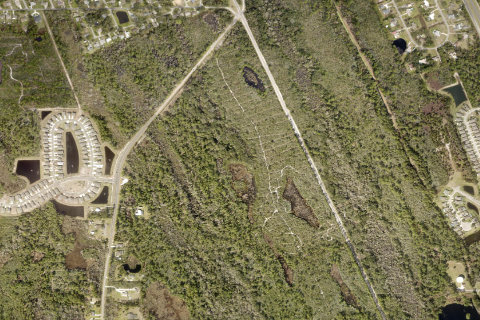 Satellite · reference point
Expand for details19 records · map & project info
Timeline and votes
Project timeline
Newest firstSt. Johns River Water Management District · Response review
District still requires conservation-easement corrections
Record details & sources
The district finds the February 20 response partial and includes further legal-review comments on the proposed conservation easement, with earlier resolved comments struck through. The open review concerns documentation and corrections; it is not an issued permit. The exact 157464-6 case remains Pending at the November 10 check. Original March 13 partial-response comments ↗
Newkirk Engineering · Response to review comments
Applicant reports the land sale and supplies revised ownership documents
Record details & sources
The response says Lennar is now the landowner and supplies updated signatures, a deed, parcel cards and conservation-easement material. It also addresses buffer signs and other October review comments. These are applicant submissions; they do not establish that the district accepted every response or issued the Phase 3 permit. Original February 20 response ↗
Volusia County Clerk · Recorded deed submitted in the case
Recorded deed documents a land transfer to Lennar
Record details & sources
A special warranty deed dated February 4, 2026 and recorded February 9 conveys the described land from KL LHB DSD AIV LLC to Lennar Homes, LLC. It is instrument 2026022734, book 8812/pages 21–25; the recording stamp reports $14,721,088.83. Submitted parcel cards identify 844800000032 and 844800000033. That transfer amount is not the project’s construction budget or a per-home price. Original recorded deed and submitted parcel cards ↗
St. Johns River Water Management District · Credit determination
District issues a conditional credit-sufficiency determination
Record details & sources
The original determination says available in-service-area credits may only partially offset the proposed impacts and conditionally allows consideration of other mitigation banks. It states a June 16, 2026 expiration and expressly says it is not approval of a mitigation plan. Any later extension, renewed determination, credit purchase and current validity remain unverified. Original December 18 credit-sufficiency determination · Word document ↗
Green Wing Mitigation Bank · Credit-availability response
Mitigation bank supplies a dated credit-availability response
Record details & sources
The bank’s signed availability form provides credit amounts and supporting comments for the district’s review of Phases 3–5. It documents availability as reported on that date, not credits purchased or reserved for the development, and not guaranteed present-day availability. Original December 10 credit-availability response ↗
St. Johns River Water Management District · Credit-availability inquiry
District asks a mitigation bank for availability information
Record details & sources
The district requests credit-availability information from Green Wing Mitigation Bank as part of the credit-sufficiency process for application 157464-6. The email describes this inquiry as the first step in reviewing availability; it is not a purchase, reservation or approval of the mitigation plan. Original November 19 credit-availability inquiry ↗
Applicant’s environmental agent · Mitigation request
Applicant requests a review of mitigation-credit availability
Record details & sources
The signed form requests an out-of-service-area credit review for Edgewater Preserve Phases 3–5 under application 157464-6. It says suitable in-service-area credits may be unavailable or insufficient. This is the applicant’s request, not a determination that credits can be used or that a mitigation plan is approved. Original request form · dated November 12 ↗
St. Johns River Water Management District · Response review
District finds the September response partial
Record details & sources
District staff find the September 17 response partial and request further documentation and technical corrections, including property-interest evidence and conservation-easement material. Submission of an answer does not itself satisfy the agency’s questions or issue a permit. Original October 15 partial-response comments ↗
Newkirk Engineering · Response to review comments
Development team submits another response for Phases 3–5
Record details & sources
The dated response addresses the July 2 comments, including property-interest documentation, wetland elevations, buffers and conservation-easement material. The response supplies the development team’s answers; district acceptance and permit issuance are separate steps. Original September 17 response ↗
St. Johns River Water Management District · Response review
District finds the revised response incomplete
Record details & sources
District staff say the June 5 response is partial and request more support on property interest, wetland water levels, buffer protection, conservation-easement documentation, eagle-nest distances, mitigation and stormwater matters. The letter says review timeframes commence after a complete response; it is not a final project decision. Original July 2 partial-response comments ↗
Newkirk Engineering · Revised application response
Response expands the filing to two housing phases and a pond phase
Record details & sources
The response describes Phase 3 with 146 lots, Phase 4 with 108 lots and Phase 5 as a compensating pond. It lists an approximately 330-acre study area, 148.5 acres of gross owned land and 89.6 acres of proposed onsite clearing. These are different applicant-described measures, not approved acreage or an additional housing phase. It also identifies Volco Road safety and sidewalk work. Original June 5 response and scope summary ↗
St. Johns River Water Management District · Granted extension
District extends the response deadline to May 20
Record details & sources
The district grants an additional 90 days to answer the August 23, 2024 information request and explicitly sets May 20, 2025 as the response date. This is not approval of the revised housing or drainage plans. Original February 18 extension-grant letter ↗
Newkirk Engineering · Request for more response time
Consultant requests more time while revising the design
Record details & sources
The consultant requests at least 60 additional days, saying local-government permitting work has delayed the response and the design is being revised. This request is separate from the district’s following-day extension decision. Original February 17 extension request ↗
Florida Fish and Wildlife Conservation Commission · Technical comments
Wildlife agency recommends surveys before clearing and construction
Record details & sources
FWC’s Phase 3 letter recommends species-specific surveys before clearing or construction and discusses potential habitat and protection measures for gopher tortoises, bald eagles and other wildlife. It is technical review assistance, not proof that every listed species occupies the site or an issued wildlife or construction permit. Original January 6 wildlife comment letter ↗
St. Johns River Water Management District · Granted extension
District extends the information-response deadline to February 19
Record details & sources
The district grants the requested additional 90 days to answer its August 23 information request and explicitly sets February 19, 2025 as the new response date. The consultant’s same-day request describes ongoing city and county reviews that may affect design. The extension is response time, not a project permit. Original extension-grant letter ↗ · Consultant’s same-day extension request ↗
St. Johns River Water Management District · Information request
District requests clearer phase scope and environmental details
Record details & sources
The district asks for evidence of property interest, consistency between the Phase 3 application and drawings covering more lots, wetland and surface-water information, buffers, mitigation and stormwater calculations. Its request identifies the difference between the 146-lot narrative and drawings with more than 200 lots; it is not a final approval or denial. Original August 23 information request ↗
Florida Division of Historical Resources · Review comments
Historic-preservation review finds effects unlikely
Record details & sources
The state letter lists Edgewater Preserve Phase 3 and finds historic properties unlikely to be affected. It requests an unexpected-discovery condition in any permit issued. This is a historic-resource review, not an environmental permit, site-plan approval or permission to begin construction. Original DHR letter · Phase 3 listed on page 2 ↗
St. Johns River Water Management District · Project record
Environmental application received
Record details & sources
The application proposes 146 Phase 3 homes. It considers Phases 3 and 4 together for environmental effects, but supplies Phase 3 infrastructure plans. The application remains pending.
City planning records · Historical report
Earlier master development agreement reported
Record details & sources
The city dates the broader Edgewater Preserve agreement to March 4, 2019, with 774 homes then reported overall. This is master-plan background, not separate approval of Phases 3 and 4 or extra homes to add to their count.
Photos and map
Photos & map
Project facts and sources
Project information & sources
- What’s planned
The initial scope proposes 146 Phase 3 homes and 108 Phase 4 homes. The revised filing also includes a compensating pond as Phase 5, without additional homes. The Volco Road reference remains approximate. June 2025 response and area measures ↗
- People & companies
Lennar Homes LLC is the district applicant and the grantee for the land described in the February 4, 2026 deed recorded February 9. Submitted parcel cards identify 844800000032 and 844800000033. The older case header’s KL LHB DSD AIV LLC owner field is dated context, not a substitute for that deed. Newkirk Engineering is the civil engineer; a construction contractor for these phases remains unconfirmed. Original February deed ↗ · Original engineering response ↗
- Approvals & permits
The September 2026 city report lists the Phases 3 and 4 lot plans under review; it remains a dated city-report snapshot. District case 157464-6 remains Pending at the November 10 check. Its March 13, 2026 legal-review comments still require conservation-easement corrections. The easement is not represented as fully approved or recorded, and final construction and occupancy are unconfirmed. The separate Phase 2 card covers 132 homes. Original March 13 comments ↗
- Size & completion
The proposal remains 146 homes in Phase 3 and 108 in Phase 4, totaling 254; the Phase 5 compensating pond adds no homes. The initial 2024 application lists 153.10 acres. A June 2025 response instead describes an approximately 330-acre study area, 148.5 gross owned acres and 89.6 acres of proposed onsite clearing. These are different applicant-described measures, not an approved footprint or a new home count. Homes cleared to live in and recorded sales remain unconfirmed; none of these proposed homes enter the tracker subtotal. June 2025 response and area measures ↗
- Things to know
The revised environmental filing includes Phases 3 and 4 and Phase 5 as a compensating pond. It is distinct from the initial Phase 3 infrastructure filing. The saved pin remains an approximate application-area reference, not an approved phase boundary. The original December 18, 2025 credit-sufficiency determination states a June 16, 2026 expiration and expressly is not approval of a mitigation plan. A later extension, current validity or credit purchase has not been verified. The recorded $14,721,088.83 transfer amount is not a construction budget or per-home price. Revised phase scope ↗ · Original Word credit-determination letter ↗ · Recorded land-transfer instrument ↗
- What happens next
The district’s March 13 response review still requires conservation-easement corrections. The lot plans and environmental case need separate decisions; the earlier conditional mitigation-credit determination is not an approved mitigation plan or proof of purchased credits.
- Sources
Original district application ↗ · City phase table · page 15 ↗ · Live district case ↗
Sources checked October 31, 2026.
Earlier city-report history checked November 5, 2026. Report snapshots retain their stated dates and earlier phase counts; they do not establish current permits, occupancy or complete project history.
Additional original records checked November 10, 2026. Historical scopes, named filing roles, current review statuses and ownership-document dates are separate facts; full lifecycle and construction completion remain unconfirmed.
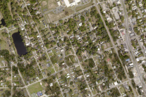 Satellite · reference point
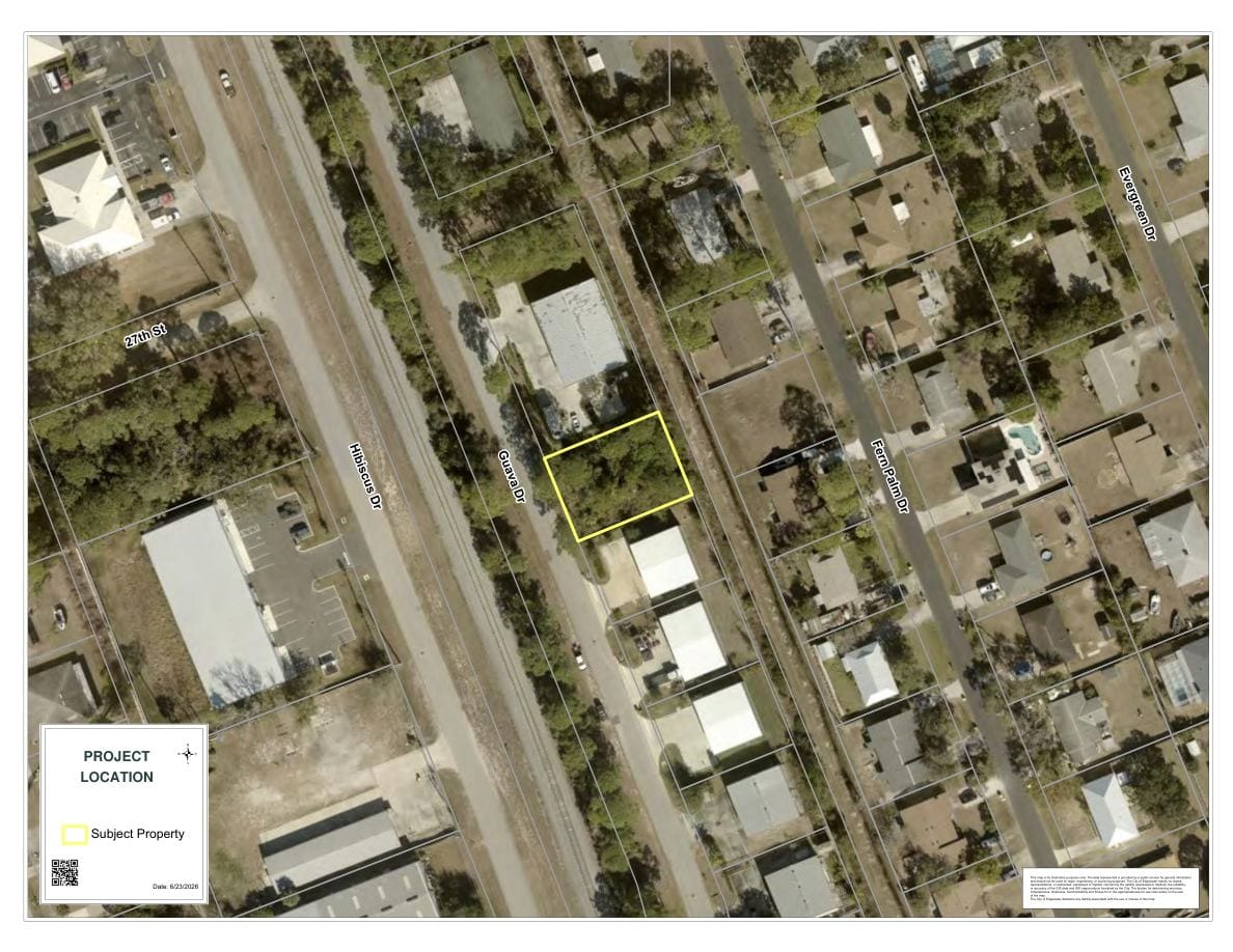 Satellite · city outline
Expand for details10 records · 1 vote record · map & project info
Timeline and votes
Decisions & project history
Newest firstEdgewater Development Services · Project update
2715 Guava Drive: city report update
Record details & sources
The warehouse layout was being reviewed.
Edgewater staff · Site-plan review notice
Staff records mailed notices for the warehouse site plan
Record details & sources
The SP-2514 staff narrative records notices mailed August 18 to addresses within 500 feet. It also reports four Technical Review Committee reviews, including Mead & Hunt, and recommends approval of a roughly 2,400-square-foot warehouse/storage proposal on the 0.2-acre parcel. The separate 3,957.76-square-foot figure is total impervious area, not building floor area. This notice and recommendation do not establish that the September 1 agenda item was approved; the reviewed action-history response is empty and the later September city report still describes review. Original SP-2514 staff narrative ↗
City staff record · Record
Warehouse site-plan application submitted · SP-2514
Application submitted; decision unconfirmedRecord details & sources
Volusia County Clerk · Recorded original
Recorded deed names Darrin and Kristina Currier as buyers
Record details & sources
Charles Morton and Clifford Shover convey the same two Guava lots to Darrin Currier and Kristina Currier in a warranty deed dated November 21 and recorded November 30, 2023 at book 8489/page 4737. The recording stamp lists an $80,000 transfer amount. The current county display and city application name Darrin Currier, while this reviewed deed expressly names both grantees; the different source descriptions are retained rather than dropping the co-grantee. Clerk instrument 2023243165 · public online copy ↗ · County index · separately attributed dates and values ↗
Edgewater Planning and Zoning Board · Decision
Warehouse-site variances approved · VA-2308
Named vote 6–0Individual votes
George Kennedy YESRobert Andrejkovics YESThomas Duane YESAlbert Amalfitano ABSENTEric Rainbird YESPaul Wright YESChris Hatcher YESRecord details & sources
The variance approval requires a six-foot privacy fence along the rear. It does not approve the later warehouse site plan.
Volusia County Clerk · Recorded original
Grace-Scott transfers the two Guava lots to Morton and Shover
Record details & sources
The corporate warranty deed dated June 6 and recorded June 23, 2023 at book 8424/page 2068 names Grace-Scott Properties, LLC as grantor and Charles Morton and Clifford Shover as grantees. It describes Lots 6661 and 6662, Block 215, Florida Shores Unit 7, matching parcel 840201066610. The recording stamp lists $50,000; the transfer does not establish a building permit or site-plan approval. Clerk instrument 2023128973 · public online copy ↗ · County index · separately attributed dates and values ↗
Volusia County Clerk · Recorded original
Multi-parcel quitclaim to Grace-Scott Properties recorded
Record details & sources
The original quitclaim from Douglas A. Henry to Grace-Scott Properties, LLC was recorded January 8, 2010 at book 6434/page 3902. Its multi-parcel legal list expressly includes Lots 6661 and 6662, Block 215, Florida Shores Unit 7. The recording stamp gives $10, while the county index lists $100; neither amount is promoted into a verified market price or allocated cost for the Guava lots. Clerk instrument 2010003940 · public online copy ↗ · County index · separately attributed dates and values ↗
Volusia County Clerk · Recorded original
Multi-parcel deed including the Guava lots recorded
Record details & sources
Sue A. Owens conveys described Florida Shores properties to Douglas Henry in a warranty deed dated May 1 and recorded May 15, 2007 at book 6059/page 4380. Its legal descriptions expressly include Lots 6661 and 6662, Block 215, as well as other lots and parcel references. The $75,000 recording-stamp transfer amount applies to the multi-parcel instrument and is not allocated to 2715 Guava Drive or treated as the warehouse construction budget. Clerk instrument 2007110402 · public online copy ↗ · County index · separately attributed dates and values ↗
Volusia County Clerk · Recorded original
Trustee-to-Sue Owens deed recorded
Record details & sources
The original warranty deed at book 5004/page 1139 conveys the same Lots 6661 and 6662 from Jimmy D. Owens, trustee of the Owens Trust, to Sue A. Owens. It is expressly dated January 1, 2002 but was recorded January 24, 2003; the county separately indexes January 15, 2002. The recording stamp gives a $10 transfer amount, not a verified market value. Execution, index and recording dates remain separate. Clerk instrument 2003016278 · public online copy ↗ · County index · separately attributed dates and values ↗
Volusia County Clerk · Recorded original
Earlier trustee conveyance recorded for the Guava lots
Record details & sources
The Clerk records this warranty deed at book 3442/page 380 on March 20, 1990. The deed is dated February 12 and conveys Lots 6661 and 6662, Block 215, Florida Shores Unit 7, from Jimmy D. Owens and Sue A. Owens to Jimmy D. Owens as trustee of the Jimmy D. Owens Trust of 1975. The appraiser separately indexes February 15 and $100. That indexed amount is not verified market consideration or a warehouse-project cost; this is earlier land history, not evidence that the current warehouse project began in 1990. Clerk instrument 1990034848 · public online copy ↗ · County index · separately attributed dates and values ↗
Photos and map
Photos & map

Project facts and sources
Project information & sources
- People & companies
Recorded November 2023 grantees: Darrin Currier and Kristina Currier · Current city filing names Darrin Currier as owner · Applicant: Joseph H. Hopkins, P.E. · Current construction contractor unconfirmed Original city site-plan staff record ↗
The November 2023 original deed names Darrin and Kristina Currier as co-grantees for Lots 6661 and 6662, Block 215, Florida Shores Unit 7, parcel 840201066610. The county display and current staff report name Darrin Currier. Six originals from 1990 through 2023 were reviewed; earlier county-linked 1979 and 1985 records were not returned by exact book/page searches and remain unverified, not nonexistent. This is not a complete title-chain opinion. County index · separately attributed dates and values ↗ · Clerk instrument 1990034848 · public online copy ↗ · Clerk instrument 2003016278 · public online copy ↗ · Clerk instrument 2007110402 · public online copy ↗ · Clerk instrument 2010003940 · public online copy ↗ · Clerk instrument 2023128973 · public online copy ↗ · Clerk instrument 2023243165 · public online copy ↗
The engineering-plan cover lists The Performance Group Inc. / Joseph Hopkins, P.E., for civil engineering, Steelmaster Industries Inc. / Darwin Schneider under Architect, and Sliger & Associates Inc. as surveyor. It lists The Stern Design Group P.A. / Jan Stern, R.L.A., for landscape architecture. These are source-listed design roles, not an awarded construction contract. Filed engineering-plan cover ↗ · Filed landscape plan ↗
- Approvals & permits
The September 2026 city report describes the warehouse site plan as under review. The current reviewed staff narrative recommends approval following four reviews, but a later issued site-plan order, building permit and occupancy are unconfirmed. Original city site-plan staff record ↗
The original September 13, 2023 minutes approve VA-2308 with a six-foot privacy fence along the rear. The requested relief was a 20-foot rear setback instead of 50 feet, elimination of the fifteen-foot vehicle backup area, and elimination of the dumpster enclosure. That action is not approval of the later site plan. The minutes say an earlier variance had expired. The attached older VA-2018 order explicitly says 2743 Guava Drive, so its August 2020 issuance and June 2022 stated expiry are not assigned to this 2715 parcel. A signed VA-2308 order, its expiry conditions and any subsequent extension or qualifying permit remain unreviewed. Original September 13, 2023 minutes ↗ · VA-2308 original staff record ↗
- Size & completion
SP-2514 proposes about 2,400 square feet of building on 0.2 acres; 3,957.76 square feet (44.9%) is total impervious area. The earlier 2023 variance case describes a separate 2,300-square-foot steel-building proposal. Neither figure establishes an as-built building or current occupancy. Original city site-plan staff record ↗
- Things to know
Warehouse and storage of a 2,400 Sq Ft building. The warehouse layout was being reviewed.
Earlier land transfers, the 2023 variance and the later site-plan review are distinct. A prior order attached to the variance case says 2743 Guava Drive; its expiry is not assigned to this parcel without reconciliation. The signed VA-2308 order, any expiry/extension and a qualifying building permit remain unreviewed. Original city site-plan staff record ↗
The filed cover shows two parking spaces, one of them accessible. Sheet C4 shows stormwater ponds and a 24-foot trench drain, and calls for connecting proposed water service to the existing water meter. These are proposed design details for the 2,400-square-foot warehouse, not evidence that parking, drainage or utility work has been installed. Filed parking schedule ↗ · Filed drainage and utility plan ↗
- What happens next
- Sources
Sources checked: Oct 23, 2026
Additional original records checked November 10, 2026. Recorded and indexed dates, multi-parcel amounts, corrective instruments, earlier zoning and variance conditions, later site-plan reviews and formal construction/occupancy permissions remain separate. Full lifecycle completion remains unconfirmed.
Additional design-team, parking, drainage and water-connection details reviewed in the filed engineering/landscape plans November 15, 2026. Existing deed parties, applicant, site/building quantities, notice, variance and review history remain unchanged; no construction contractor or issued building permit is established by these drawings.
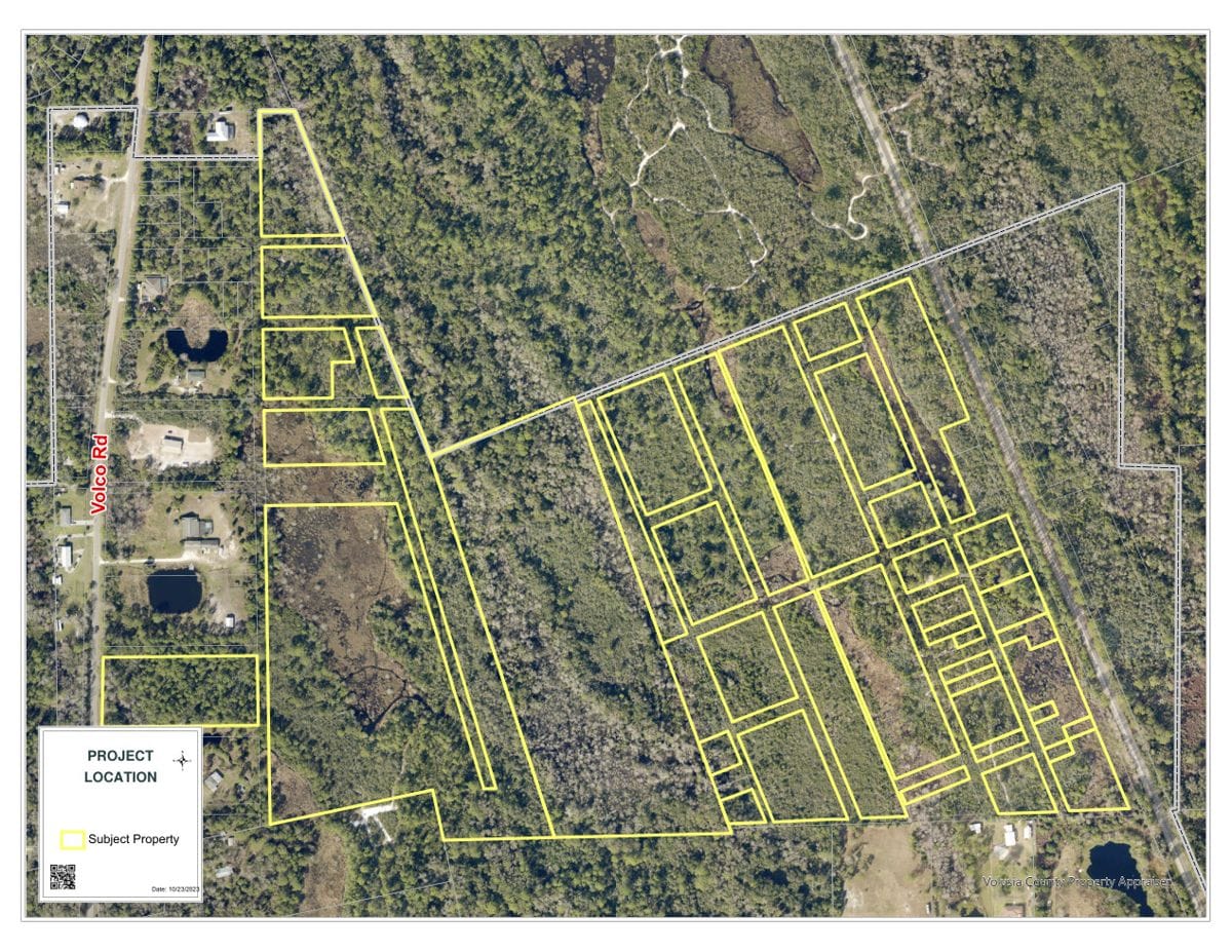 Satellite · city outline
Expand for details17 records · 12 vote records · map & project info
Timeline and votes
Decisions & project history
Newest firstSt. Johns River Water Management District · Filed record
District asks for entrance rights, wetland details and drainage information
Record details & sources
The information request seeks proof of property interest over the entrance road parcels/right of way along Booker Street, clearer identification of wetland impacts and buffers, and additional stormwater information.
St. Johns River Water Management District · Filed record
Original environmental application proposes 111 lots
Record details & sources
Washington Park Holdings, LLC’s application describes 111 single-family lots and a 125.44-acre project near Volco Road, south of Edgewater Preserve Phases 3 and 4. The city’s separately dated 119-home report and roughly 115-acre annexation scope are retained without assuming they describe identical boundaries or approvals.
Volusia Growth Management Commission · County review
County plan-review application deemed complete
Record details & sources
VGMC deemed case 24-013 complete for the 115-acre land-use amendment east of Volco Road and south of Edgewater Preserve Phases 3–5. The notice set April 16, 2024 as the deadline for an affected local government to petition for a hearing. Completeness and a petition deadline do not establish consistency certification.
Edgewater City Council · First review of the proposed law
Corrected proposal to bring land into the city passes its first review
Passed 3–2Individual votes
Diezel DePew NOCharlotte Gillis NOGigi Bennington YESDebbie Dolbow YESJonah Powers YESRecord details & sources
Council voted 3–2 to advance a corrected proposal to bring 115 acres into city limits. The applicant’s representative said the correction fixed the legal property description without changing the project itself. The minutes date this action September 9, despite an item title mentioning November 11. This record confirms the first review, rather than final approval.
Edgewater City Council · First review of the proposed law
Corrected land-use ordinance advances · 2024-O-40
Passed 3–2Individual votes
Diezel DePew NOCharlotte Gillis NOGigi Bennington YESDebbie Dolbow YESJonah Powers YESRecord details & sources
Council approved the first review of the proposed law in the rehearing of the 115-acre proposal. The applicant's representative said the rehearing corrected the legal description without a substantive project change. The meeting minutes record this September 9 action even though the copied item title says it would be heard November 11. This is a first-reading action; later adoption is not established by this record.
Edgewater City Council · First review of the proposed law
Corrected zoning ordinance advances · 2024-O-41
Passed 3–2Individual votes
Diezel DePew NOCharlotte Gillis NOGigi Bennington YESDebbie Dolbow YESJonah Powers YESRecord details & sources
Council approved the first review of the proposed law in the rehearing of the 115-acre proposal. The applicant's representative said the rehearing corrected the legal description without a substantive project change. The meeting minutes record this September 9 action even though the copied item title says it would be heard November 11. This is a first-reading action; later adoption is not established by this record.
Edgewater Development Services · Project update
Washington Park South: city report update
Record details & sources
The early lot layout was being reviewed.
Edgewater City Council · Decision
Final review of the proposed law passes · 2024-O-07
Named vote 5–0Individual votes
Diezel DePew YESCharlotte Gillis YESGigi Bennington YESDebbie Dolbow YESJonah Powers YESRecord details & sources
Edgewater City Council · Decision
Final review of the proposed law passes · 2024-O-09
Named vote 5–0Individual votes
Diezel DePew YESCharlotte Gillis YESGigi Bennington YESDebbie Dolbow YESJonah Powers YESRecord details & sources
Edgewater City Council · Recorded motion
Council approves the change to the city’s long-term land-use plan
Named vote 5–0
Individual votes
Diezel DePew YESCharlotte Gillis YESGigi Bennington YESDebbie Dolbow YESJonah Powers YESRecord details & sources
Council approved the second review of proposed law 2024-O-08, changing how the land is designated in the city’s long-term plan. Separate decisions govern bringing land into city limits, the detailed rules for development and building permits.
Edgewater City Council · Decision
First review of the proposed law passes · 2024-O-07
Named vote 4–1Individual votes
Diezel DePew NOCharlotte Gillis YESGigi Bennington YESDebbie Dolbow YESJonah Powers YESRecord details & sources
Edgewater City Council · Decision
First review of the proposed law passes · 2024-O-09
Named vote 3–2Individual votes
Diezel DePew NOCharlotte Gillis NOGigi Bennington YESDebbie Dolbow YESJonah Powers YESRecord details & sources
Edgewater City Council · Recorded motion
Land-use amendment advances at the first Council vote
Named vote 4–1
Individual votes
Diezel DePew NOCharlotte Gillis YESGigi Bennington YESDebbie Dolbow YESJonah Powers YESRecord details & sources
Council approves the first review of the proposed law of 2024-O-08 for low-density residential land use with a conservation overlay.
Edgewater Planning and Zoning Board · Recommendation
Board recommends bringing about 115 acres east of Volco Road into the city
Named vote 6–1Individual votes
George Kennedy YESRobert Andrejkovics YESThomas Duane YESAlbert Amalfitano YESEric Rainbird YESPaul Wright YESChris Hatcher NORecord details & sources
The planning board recommended bringing about 115 acres into Edgewater city limits. The minutes repeat two names; the displayed 6–1 tally counts each named person once.
The minutes repeat two names; the tally above counts each named person once.
Edgewater Planning and Zoning Board · Recommendation
Board supports residential development rules for the 115-acre site
Named vote 7–0Individual votes
George Kennedy YESRobert Andrejkovics YESThomas Duane YESAlbert Amalfitano YESEric Rainbird YESPaul Wright YESChris Hatcher YESRecord details & sources
The planning board recommended residential development rules, with a condition to keep the upland buffer areas and leave conservation areas untouched. The minutes repeat two names; the displayed 7–0 tally counts each named person once.
The minutes repeat two names; the tally above counts each named person once.
Edgewater Planning and Zoning Board · Recorded motion
Board recommends the land-use amendment
Named vote 7–0
Individual votes
George Kennedy YESRobert Andrejkovics YESThomas Duane YESAlbert Amalfitano YESEric Rainbird YESPaul Wright YESChris Hatcher YESRecord details & sources
The board recommends low-density residential land use with a conservation overlay for about 115 acres. The minutes repeat two names; the tally counts each named person once.
Edgewater Development Services · Historical report
Earlier annexation and development rules under review
Record details & sources
The city lists annexation, land-use and zoning review for an earlier proposal of 119 detached homes and 84 townhomes. Later application counts remain separate.
Photos and map
Photos & map

Project facts and sources
Project information & sources
- Approvals & permits
Early lot layout under review (September 2026 report).
Housing and wetland review · checked October 31. Washington Park Holdings applied October 28, 2025 for 111 lots on 125.44 acres near Volco Road. The city’s September 2026 report instead describes 119 homes and roughly 115 acres. Those differences remain unresolved. The water district is still reviewing drainage, wetland impacts and the right to use the Booker Street entrance. Live district case 243316-1
- Size & completion
Planned / reported: 119 reported homes
Cleared to live in: Not confirmed.
Homes sold: Not confirmed.
Reported project scope. A complete city list of homes cleared to live in is not confirmed.
Full completion unconfirmed.
- Things to know
Cases 2024-O-07 and 2024-O-09 cover annexation and residential zoning of roughly 115 acres. Those decisions set land-use rules; they are not building permits.
119 reported homes. The early lot layout was being reviewed.
- What happens next
The plans are under review.
- Sources
Sources checked: Oct 24, 2026 · District Oct 31, 2026
Earlier city-report history checked November 5, 2026. Report snapshots retain their stated dates and earlier phase counts; they do not establish current permits, occupancy or complete project history.
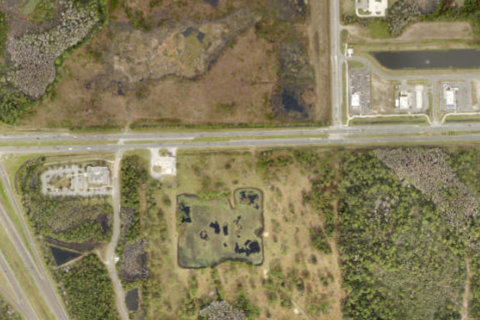 Satellite · reference point
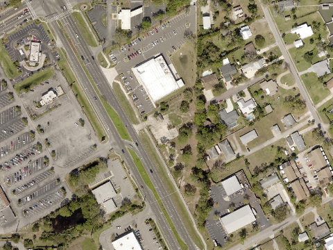 Satellite · reference point
Expand for details5 records · map & project info
Timeline and votes
Decisions & project history
Newest firstEdgewater Development Services · Project update
Sporty’s Car Wash: city report update
Record details & sources
A Technical Review Committee vote is listed for September 30, 2025, with no building permit in the report.
City case record · Record
Drive-through car-wash request listed · SP-2407
Agenda entry; decision unconfirmedRecord details & sources
Edgewater Planning and Zoning Board · Agenda and retrospective report
Design-exception request reaches the planning board
Record details & sources
The June 11 agenda lists VA-2504 for the same car-wash applicant and property. A later site-plan report says variances were granted; the original named ballot remains unverified.
Edgewater Development Services · Historical report
Earlier site plan under review
Record details & sources
The June 30 report lists Sporty’s at 1829 South Ridgewood Avenue under site-plan review.
City staff report · Application history
Car-wash application first submitted
Record details & sources
The site-plan staff report dates the first application to June 26, 2024. This is an application milestone, separate from later reviews and permits.
Photos and map
Photos & map
Project facts and sources
Project information & sources
- People & companies
Owner: Edgewater Auto Spa, LLC. Applicant: Gordon Hardwick of Edgewater Auto Spa. Staff report
- Approvals & permits
Review-committee vote recorded; no building permit on file in September report.
- Size & completion
Project size: Proposed car-wash site: 1.76 acres.
Completion: See the dated approvals and project history.
- Things to know
Drive-thru car wash. A Technical Review Committee vote is listed for September 30, 2025, with no building permit in the report.
The proposal covers 1.76 acres of undeveloped land with Highway Commercial zoning and a Commercial future-land-use designation. Its traffic statement estimates 667 daily trips, including 38 in the morning peak hour and 60 in the evening. City staff did not require a transportation impact study because those figures were below the applicable thresholds. The Florida Department of Transportation said a right-turn deceleration lane may be required during its permitting. City staff report ↗
The drainage design uses perforated pipes for storage and infiltration, connected to a detention pond. The staff report describes the pond draining through the state’s U.S. 1 right of way toward the 18th Street Canal. These are proposed design details, separate from issued permits or completed work.
- What happens next
The plans are under review.
- Sources
Sources checked: Oct 23, 2026
Historical city reports checked November 5, 2026. Report snapshots describe their stated dates, not current status. The October–December report repeats September tables; only its dated quarter narrative is used for the drainage update.
Additional site, access and drainage details checked in the original staff report November 15, 2026.
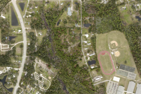 Satellite · reference point
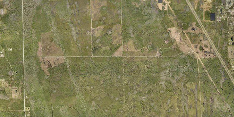 Satellite · reference point
Expand for details18 records · 4 vote records · map & project info
Timeline and votes
Decisions & project history
Newest firstNew Smyrna Beach city map · Dated source check
City map checked; published case information recorded
Record details & sources
Case PUD-0007-2024: New Mixed-Use with retail, commercial, hotel, restaurant, light industrial, residential. City map status: Waiting for Site Plan to be submitted. Approval body listed: City Commission. Approval date listed: May 13, 2025.
This is the map information available at the check, not a new city decision. Individual votes, applicant, builder and permit history are not supplied by this map.
Original public record
PUD-0007-2024: case completion recorded
Record details & sources
The city’s case-completion field records 2025-06-27; its displayed case status is “Approved”. This is an administrative planning-case milestone, not completion of construction.
Original public record
PUD-0007-2024: review round 2 — requires re-submit
Record details & sources
The city records review round 2 as “Requires Re-submit”, following the submission received 2024-04-18. This is a planning review milestone; building permits and construction completion are separate.
Original public record
PUD-0007-2024: review submission 2 received
Record details & sources
The city received submission 2 for site plan/plat review. The round later completed 2024-05-13 with status “Requires Re-submit”.
Original public record
PUD-0007-2024: review round 1 — requires re-submit
Record details & sources
The city records review round 1 as “Requires Re-submit”, following the submission received 2024-03-08. This is a planning review milestone; building permits and construction completion are separate.
Original public record
PUD-0007-2024: review submission 1 received
Record details & sources
The city received submission 1 for site plan/plat review. The round later completed 2024-04-16 with status “Requires Re-submit”.
Original public record
PUD-0007-2024 application filed
Record details & sources
The city records the planned unit development application as filed on 2024-03-01. Case address: 3100 STATE ROAD 44 NEW SMYRNA BEACH, FL 32168. Listed parcel: 732100000010. Filing begins review; it does not authorize construction.
Project record · Habitat assessment
Assessment identifies potential gopher-tortoise habitat
Record details & sources
WildlifeThe submitted assessment rates gopher tortoise and eastern indigo snake occurrence as moderate. This is habitat potential, not a confirmed sighting.
Project record · Habitat assessment
Assessment identifies habitat potential for protected birds
Record details & sources
WildlifeThe species table rates little blue and tricolored herons high, and wood storks and roseate spoonbills moderate. These are potential-occurrence ratings, not confirmed nests.
Project record · Record
Development concept workshop
Record details & sources
Project record · Postponed
Planning review postponed
Record details & sources
City Commission · Decision
Land-use change: first approval
carried with a 4-1 Commissioner Martin voting no.Who voted? · reconstructed from the minutes
Fred E. Cleveland YESLisa Martin NOJason McGuirk YESValli Perrine YESRandy Hartman YESThe minutes give the result and who attended, but do not list each person’s vote. Individual votes shown here were worked out from that information.
Record details & sources
Planning and Zoning Board · Recommendation
Board recommends new land-use rules, with conditions
Record details & sources
City Commission · Decision
Plan-language change: first approval
carried unanimously.Who voted? · reconstructed from the minutes
Fred E. Cleveland YESLisa Martin YESJason McGuirk YESValli Perrine YESRandy Hartman EXCUSEDThe minutes give the result and who attended, but do not list each person’s vote. Individual votes shown here were worked out from that information.
Record details & sources
City Commission · Decision
Plan-language change adopted
Passed4–1 · individual ballots incompleteWho voted? · reconstructed from the minutes
Fred E. Cleveland PRESENTLisa Martin PRESENTJason McGuirk YESValli Perrine YESRandy Hartman YESThe minutes give the result and who attended, but do not list each person’s vote. Individual votes shown here were worked out from that information.
Record details & sources
Project record · Workshop draft
Draft calls for wildlife connections and tortoise protections
Record details & sources
WildlifeThe draft calls for legal protection of at least 400 acres of natural vegetation and connected paths for wildlife. It also requires permits and other protections for species such as gopher tortoises. These are proposed requirements; they do not show that any animals have been moved.
City Commission · First review of the proposed law
Zoning change introduced
Record details & sources
City Commission · Decision
New land-use rules approved for Innovation Center
passed by 4-1 vote, with Vice Mayor Martin voting no.Who voted? · reconstructed from the minutes
Fred E. Cleveland YESLisa Martin NOJason McGuirk YESValli Perrine YESBrian Ashley YESThe minutes give the result and who attended, but do not list each person’s vote. Individual votes shown here were worked out from that information.
Record details & sources
Photos and map
Photos & map
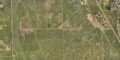
Project facts and sources
Project information & sources
- Approvals & permits
Land-use rules approved May 13, 2025; October city map awaits the detailed site plan. Building permits and construction unconfirmed.
Original case PUD-0007-2024 (checked November 5, 2026): Approved. Filed 2024-03-01; parcel 732100000010. Case-completion date: 2025-06-27. Planning-case status does not establish an issued building permit, a construction start or completed construction.
PUD-0007-2024 — submission 2, received 2024-04-18: Building department: Approved (2024-05-13); Engineering: Requires Re-submit (2024-05-13); Fire: Requires Re-submit (2024-04-30); Planning: Requires Re-submit (2024-05-13); Planning: Requires Re-submit (2024-04-29). These are the latest listed submission’s department review steps, not building permits. Original department reviews ↗ (checked November 5, 2026).
- Size & completion
Planned / reported: 2,150 homes
Cleared to live in: Not confirmed.
Homes sold: Not confirmed.
Up to 2,150 homes. Extra homes on the same property, such as backyard apartments, are outside this limit and are not counted here. A complete city list of homes cleared to live in is not confirmed.
Full completion unconfirmed.
- Things to know
The February 2024 habitat assessment rates potential occurrence of gopher tortoises and eastern indigo snakes as moderate, little blue and tricolored herons as high, and wood storks and roseate spoonbills as moderate. Those are habitat-potential ratings, not confirmed animals or nests. The April 2025 workshop draft’s proposed protection of at least 400 acres is separate from proof that an easement was recorded.
Original city case PUD-0007-2024 lists Applicant: Storch Law Firm. These are application-contact roles, not a verified deed transfer or awarded construction contract. City contact record ↗ (checked November 5, 2026).
- What happens next
The next recorded step is submission of the detailed site plan. The approved land-use case does not establish issued building permits or a construction start.
- Sources
Sources checked: Through May 13, 2025
See the source links in the project history.
Original city applications and submission histories checked November 5, 2026. Case statuses and review dates are distinct from building permits and completed construction.
News coverage · 1 link
- The Wild West (of 95): Deering Park
News Smyrna · 2026-10-01 · Reporting
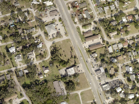 Satellite · reference point
Expand for details10 records · map & project info
Timeline and votes
Decisions & project history
Newest firstEdgewater development map · Source check
City map still lists site-plan review
Record details & sources
The map identifies parcel 7451-01-05-0010, the proposed dental-office use and Kristina Mangiafico as the contact. This is a check of the published status, not a new approval or meeting.
Edgewater Development Services · Project update
Dental-office proposal listed under review
Record details & sources
The July–September 2026 development report lists Hometown Dental as non-residential project 38 at 340 N. Ridgewood Avenue. Status: Under Site Plan Review. The report does not provide a building size, permit number or approval date.
Volusia County Property Appraiser · Transfer history
$275,000 property transfer recorded
Record details & sources
The appraiser’s sales history lists a $275,000 warranty-deed transfer, instrument 2025065564, book 8687/page 3346. A separate $100 transfer appears the same day. Both are classified unqualified for appraisal analysis; neither entry is a development approval.
Volusia County Property Appraiser · Parcel history
Quitclaim transfer listed
Record details & sources
The county property appraiser lists this QC-QUIT CLAIM DEED entry for parcel 745101050010 at book/page 7027 / 4223, instrument 2014158281. The listed amount is $100; the county classifies the entry as unqualified and the parcel as vacant at that time.
Volusia County Property Appraiser · Parcel history
Warranty-deed transfer listed
Record details & sources
The county property appraiser lists this WD-WARRANTY DEED entry for parcel 745101050010 at book/page 5555 / 4241, instrument 2005128548. The listed amount is $400,000; the county classifies the entry as unqualified and the parcel as improved at that time.
Volusia County Property Appraiser · Parcel history
Warranty-deed transfer listed
Record details & sources
The county property appraiser lists this WD-WARRANTY DEED entry for parcel 745101050010 at book/page 3736 / 1306, instrument 1992043639. The listed amount is $154,300; the county classifies the entry as unqualified and the parcel as improved at that time.
Volusia County Property Appraiser · Parcel history
Warranty-deed transfer listed
Record details & sources
The county property appraiser lists this WD-WARRANTY DEED entry for parcel 745101050010 at book/page 3433 / 1654, instrument 1990026323. The listed amount is $100; the county classifies the entry as unqualified and the parcel as improved at that time.
Volusia County Property Appraiser · Parcel history
Warranty-deed transfer listed
Record details & sources
The county property appraiser lists this WD-WARRANTY DEED entry for parcel 745101050010 at book/page 3396 / 0641, instrument 1989158661. The listed amount is $455,000; the county classifies the entry as unqualified and the parcel as improved at that time.
Volusia County Property Appraiser · Parcel history
Warranty-deed transfer listed
Record details & sources
The county property appraiser lists this WD-WARRANTY DEED entry for parcel 745101050010 at book/page 3047 / 1935. The listed amount is $18,181; the county classifies the entry as unqualified and the parcel as improved at that time.
Volusia County Property Appraiser · Parcel history
Warranty-deed transfer listed
Record details & sources
The county property appraiser lists this WD-WARRANTY DEED entry for parcel 745101050010 at book/page 2047 / 1424. The listed amount is $72,000; the county classifies the entry as unqualified and the parcel as improved at that time.
Photos and map
Photos & map
Project facts and sources
Project information & sources
- People & companies
Practice: Hometown Dental · Builder not confirmed
The county record identifies RST Investments LLC as property owner; the city lists Kristina Mangiafico as project contact. Those roles are separate from a construction contractor. County property record ↗
- Approvals & permits
Dental office under site-plan review; city map rechecked Oct 30, 2026.
Approvals and construction: No project-specific approval vote, issued building permit, builder, building floor area or opening date was confirmed in the records reviewed. The city map’s project number 38 is a map label, not a permit number.
- Size & completion
Project size: County parcel area: 57,185 square feet, about 1.31 acres. Building floor area is not established by the reviewed report.
Completion: See the dated approvals and project history.
- Things to know
Property owner: RST Investments LLC, according to the Volusia County Property Appraiser. The city names Kristina Mangiafico as the project contact; that does not identify her as the landowner.
Site: Parcel 7451-01-05-0010 · alternate key 3892534. The appraiser lists 57,185 square feet, about 1.31 acres, as vacant commercial land with zero buildings. That tax record is not a construction inspection.
Zoning: The city map shows B-3, Highway Commercial, at the project point, with Commercial future land use. The city’s published use table lists medical/dental offices as a permitted use in B-3. Permitted use does not mean the site plan or construction is approved.
Practice: Hometown Dental’s website identifies Kristina Mangiafico, DMD, as its dentist and still lists the existing office at 1401 S. Ridgewood Avenue, Suite 6. A move or opening date for 340 N. Ridgewood is not confirmed.
- What happens next
The plans are under review.
- Sources
Sources checked: Oct 30, 2026
- County property record ↗
- Practice and dentist ↗
- City permitted-use table ↗
- Open site in Google Maps ↗
- City development map ↗
- City report map ↗
County parcel transaction tables checked November 10, 2026. Amounts and vacant/improved labels describe the indexed transactions, not construction progress or appraised values. Multi-parcel amounts are not allocated to individual sites. The county cautions that these tables are not a complete chain of title; deed parties and boundaries require the original recorded instruments.
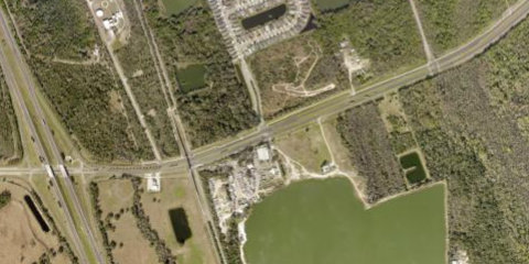 Satellite · reference point
Expand for details6 records · 1 vote record · map & project info
Timeline and votes
Decisions & project history
Newest firstProject record · Record
Project-file proposal: 2024-O-43
Record details & sources
Edgewater city staff · Public notice
Public notice sign posted for rezoning proposal
Record details & sources
The staff report records a public-notice sign posted on July 31, 2024 for the Edgewater Village rezoning proposal. It also records notices mailed to addresses within 500 feet without a separate mailing date. This notice preceded the recorded hearings.
City Council · First review of the proposed law
2024-O-43: first vote passes 3–2
Passed 3–2Who voted?
Gigi Bennington YESDebbie Dolbow YESJonah Powers YESDiezel DePew NOCharlotte Gillis NORecord details & sources
City Council · Postponed
Second review of the proposed law postponed to December 2
Record details & sources
The minutes say the final vote on Ordinance 2024-O-43 was postponed to December 2, 2024.
City Council · Postponed
Second review of the proposed law postponed to January
Record details & sources
The minutes say the decision on new land-use rules was postponed to the January meeting.
City Council · Postponed
Second hearing postponed to April 21
Tabled to April 21, 2025Record details & sources
Photos and map
Photos & map
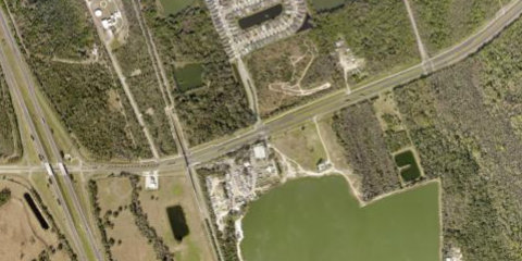
Project facts and sources
Project information & sources
- People & companies
The rezoning staff report and proposed agreement name NSB OHM2 LLC and Barbara Lynn Kaufman Trust as owners. JBEC Inc. is the applicant. These are source-listed proposal roles, not a current title search or an awarded construction contract. Original city staff report ↗
- Approvals & permits
Rezoning first reading passed; the latest recorded action is a January 13, 2025 postponement.
- Size & completion
Planned / reported: 317 homes
Cleared to live in: Not confirmed.
Homes sold: Not confirmed.
Counts 317 proposed independent-living homes: 272 apartments and 45 villas. The separate 169 care beds are not counted as homes. A complete city list of homes cleared to live in is not confirmed.
Full completion unconfirmed.
- Things to know
The proposed agreement divides the roughly 42.8-acre site into three phases. Phase 1 combines 272 independent-living apartments with 45 two-bedroom villas, for the same 317-home total. Phase 2 allows up to 169 assisted-living and memory-care beds. Phase 3 reserves parcel 843802000020 as passive open space with no clearing or grading. Proposed phase standards ↗
The apartment standards allow up to 70 feet in height and require a 250-foot building setback from Coral Trace subdivision. Villas are limited to 28 feet with at least 1,200 square feet under air and two-car garages. The care buildings have a 50-foot height limit. Proposed shared amenities include a pool, clubhouse, grills, a pond walking path and a dog park.
These are proposed zoning and agreement terms. The first-reading approval and later postponements already recorded in the timeline do not establish final rezoning adoption, an issued building permit or completed facilities.
- What happens next
The plans are under review.
- Sources
Sources checked: Through Jan 13, 2025
See the source links in the project history.
Additional original applicant, phase split, design standards and July 31, 2024 notice details checked November 15, 2026. The 317-home total is retained; the staff split is 272 apartments plus 45 villas.
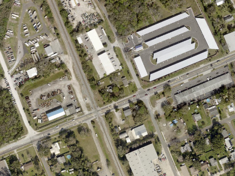 Satellite · reference point
Expand for details5 records · map & project info
Timeline and votes
Decisions & project history
Newest firstEdgewater Development Services · Project update
Hopkins Retail/ Warehouse: city report update
Record details & sources
The retail and warehouse layout was being reviewed.
Edgewater Development Services · Earlier plan
Earlier warehouse approval expires
Record details & sources
The city report lists the earlier warehouse development order as expired on this date, with no building permit on file. This is the earlier plan's status, separate from the proposal under review in 2026.
Edgewater Technical Review Committee · Earlier plan
Earlier warehouse plan approved at West Park Avenue
Earlier site plan approved · individual votes unconfirmed
Record details & sources
The city report records approval of an earlier 6,000-square-foot office-and-warehouse plan at 201–205 W. Park Avenue. The 2026 table lists a separate 8,000-square-foot proposal at 201 W. Park.
Volusia County Clerk · Recorded original deed
Warranty deed to Citrus Real Estate Holdings recorded
Record details & sources
A Warranty Deed made and recorded April 12, 2019 names Bradley Kayholm as grantor and Citrus Real Estate Holdings, LLC as grantee. The record is instrument 2019072248, book 7681/page 72. Its transfer stamp says $195,904.27; the county appraiser indexes $196,000 as a qualified sale. Both source amounts are retained separately. The appraiser currently links parcel 745201000348, alternate key 3894758, to 201 West Park Avenue and lists Citrus Real Estate Holdings LLC as owner. This transaction does not establish the status of the later 6,000- or 8,000-square-foot proposals. Clerk instrument 2019072248 · public online copy ↗ · County parcel and transaction index · 201 West Park ↗
Volusia County Clerk · Recorded original deed
Earlier deed for the 201 West Park parcel recorded
Record details & sources
A Corporate Warranty Deed dated February 21, 2017 names Grace-Scott Properties, LLC as grantor and Bradley Kayholm as grantee for parcel 745201000348. It was recorded March 8 at book 7369/page 4517, instrument 2017046365, with a $185,000 transfer stamp. The appraiser indexes February 21 as a qualified transaction. This identifies land history for the 201 West Park parcel; it does not independently establish ownership of 205 West Park or approval of either later development proposal. Clerk instrument 2017046365 · public online copy ↗ · County parcel and transaction index · 201 West Park ↗
Photos and map
Photos & map
Project facts and sources
Project information & sources
- People & companies
201 W. Park parcel owner: Citrus Real Estate Holdings LLC · City-listed project contact: Danny R. McCartney · Construction contractor unconfirmed Original recorded deed / exact reference parcel ↗ · Earlier dated city report ↗ · Earlier dated city report ↗ · Earlier dated city report ↗
The county appraiser lists Citrus Real Estate Holdings LLC as owner of parcel 745201000348, alternate key 3894758, at 201 West Park Avenue. The reviewed April 12, 2019 deed names that company as grantee from Bradley Kayholm; the preceding reviewed 2017 deed names Kayholm as grantee from Grace-Scott Properties, LLC. Earlier indexed entries exist but their originals have not been reviewed, and ownership of the separately reported 205 West Park address has not been reconciled. The older 6,000-square-foot plan and newer 8,000-square-foot review remain distinct. Original recorded deed / exact reference parcel ↗ · County parcel and transaction index · 201 West Park ↗ · County parcel and transaction index · 201 West Park ↗
- Approvals & permits
Retail and warehouse layout under review (September 2026 report).
- Size & completion
Project size: Current proposal: 8,000-square-foot retail and warehouse building; the earlier plan was 6,000 square feet.
Completion: See the dated approvals and project history.
- Things to know
The county appraiser lists Citrus Real Estate Holdings LLC as owner of parcel 745201000348, alternate key 3894758, at 201 West Park Avenue. The reviewed April 12, 2019 deed names that company as grantee from Bradley Kayholm; the preceding reviewed 2017 deed names Kayholm as grantee from Grace-Scott Properties, LLC. Earlier indexed entries exist but their originals have not been reviewed, and ownership of the separately reported 205 West Park address has not been reconciled. The older 6,000-square-foot plan and newer 8,000-square-foot review remain distinct. Original recorded deed / exact reference parcel ↗ · County parcel and transaction index · 201 West Park ↗ · County parcel and transaction index · 201 West Park ↗
The county appraiser’s land table lists 30,875 square feet, about 0.71 acres, for parcel 745201000348 at 201 West Park Avenue and classifies it as vacant commercial land. That area applies only to the identified 201 West Park parcel; it does not establish the size or ownership of the separately reported 205 West Park property or the full project boundary. Exact 201 West Park land data ↗
- What happens next
The plans are under review.
- Sources
Sources checked: Oct 23, 2026
Additional original records checked November 10, 2026. Historical predecessor scopes, issued and pending sequences, named roles, dated funding actions and ownership records remain separate facts; full lifecycle and construction completion remain unconfirmed.
Additional land-area information for the exact 201 West Park parcel checked November 15, 2026.
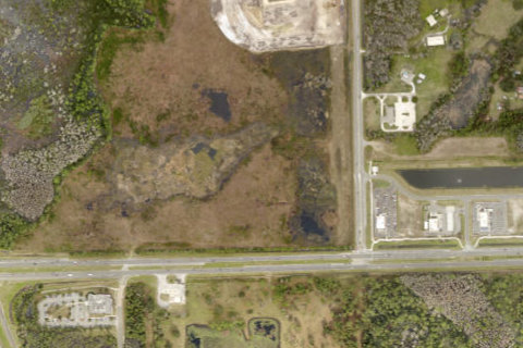 Satellite · reference point
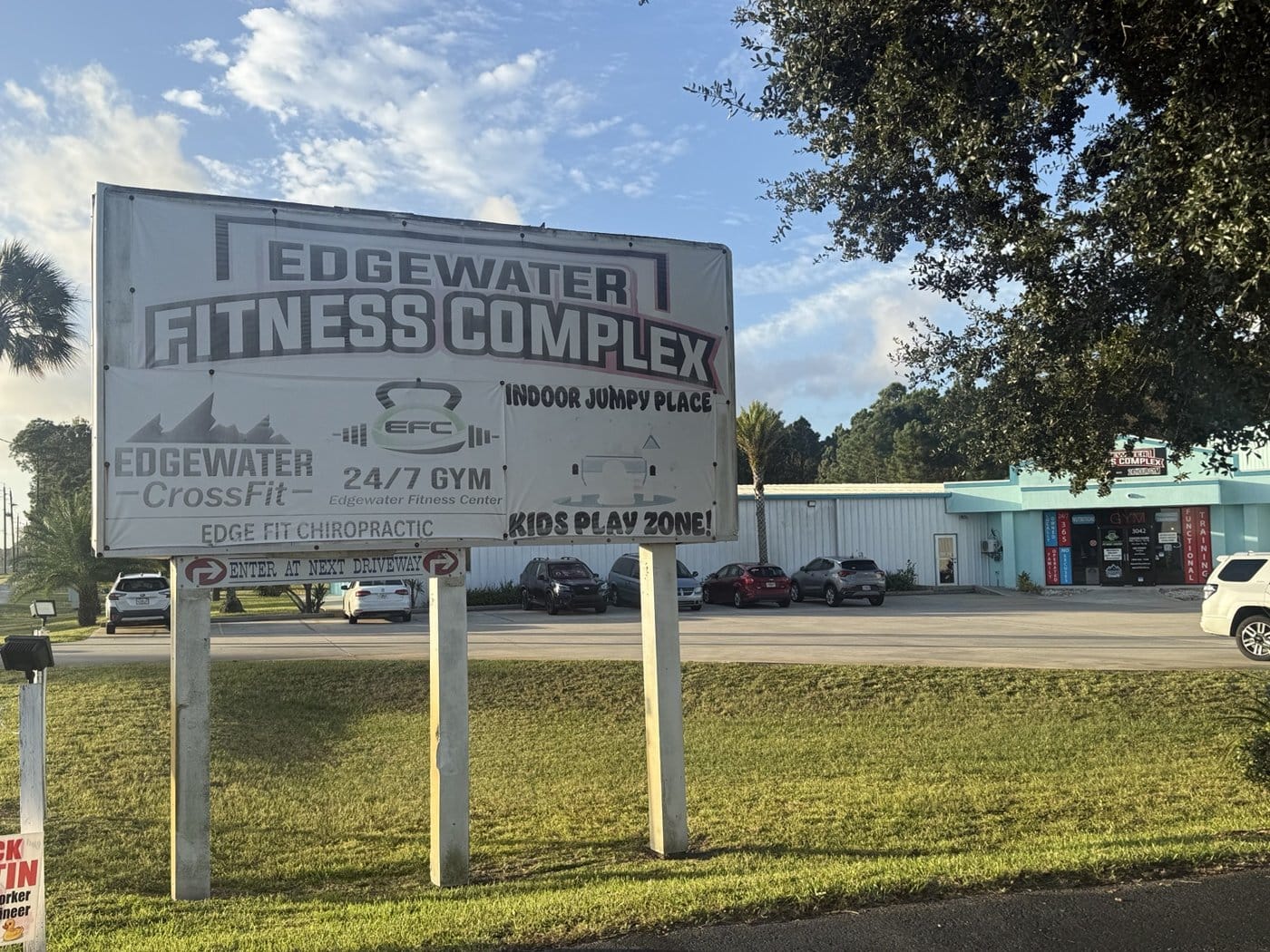 Photo
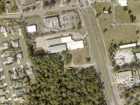 Satellite · reference point
Expand for details8 records · 5 vote records · 1 photo · map & project info
Timeline and votes
Decisions & project history
Newest firstEdgewater Planning and Zoning Board
Board recommends bringing parking land into the city
Recommendation passes 5–0 · one excused · one absent
Individual votes
George Kennedy EXCUSEDRobert Andrejkovics YESPaul Wright YESThomas Duane YESBurton Maroney YESAlbert Amalfitano ABSENTEric Rainbird YESRecord details & sources
The Board recommended annexing 3.42 acres south of 3042 S. Ridgewood Avenue for additional parking. Construction would still need approved plans and permits.
Edgewater City Council
Commercial land-use change advances at first vote
First vote passes 5–0
Individual votes
Mike Thomas YESMegan O'Keefe YESGigi Bennington YESJonah Powers YESChristine Power YESRecord details & sources
The Council approved the first vote on a commercial land-use designation with a conservation overlay for the earlier parking-related property. Final approval followed in January.
Edgewater City Council
Land south of the site brought into the city
Annexation approved 5–0
Individual votes
Mike Thomas YESChristine Power YESGigi Bennington YESMegan O'Keefe YESJonah Powers YESRecord details & sources
The Council annexed 3.42 acres south of 3042 S. Ridgewood Avenue for the earlier parking proposal. An approved site plan and permits were still required.
Edgewater City Council
Commercial land use approved with conservation overlay
Land-use change approved 5–0
Individual votes
Mike Thomas YESChristine Power YESGigi Bennington YESMegan O'Keefe YESJonah Powers YESRecord details & sources
The Council approved commercial land use with a conservation overlay for the property south of the site. This was a land-use decision for the earlier parking request.
Edgewater City Council
Commercial zoning approved for the parking property
Zoning approved 5–0
Individual votes
Mike Thomas YESChristine Power YESGigi Bennington YESMegan O'Keefe YESJonah Powers YESRecord details & sources
The Council approved highway-commercial zoning for the adjacent land proposed for parking. This did not approve the parking-and-drainage layout listed under review in 2026.
Edgewater Development Services · Project update
Hanan- Parking Lot: city report update
Record details & sources
The proposed parking area and retention pond were being reviewed.
Edgewater city permit notice
City notice requests a permit for a concrete pad
Record details & sources
A separate August 31 notice, case 26-552, says a permit is required for a concrete pad poured at the property in April 2026. The notice does not establish the outcome of the case or completion of the separately reviewed parking-and-drainage proposal. Original August 31 concrete-pad notice ↗
Edgewater city permit notice
City notice calls for a stormwater permit for site millings
Record details & sources
An August 4 city notice for case 26-55 calls for a stormwater permit for millings placed at 3042 South Ridgewood Avenue. It identifies Hanan Land Co LLC and parcel 841108000080. This records the city’s permit notice; the reviewed document does not establish a final ruling, later compliance or approval of the parking-and-drainage plan. Original August 4 stormwater notice ↗
Photos and map
Photos & map

Project facts and sources
Project information & sources
- People & companies
City-listed project contact: Roy-Travis Hanan. City project record
- Approvals & permits
Parking and drainage-pond layout under review (September 2026 report).
- Size & completion
Project size: See the scope in What’s planned.
Completion: See the dated approvals and project history.
- Things to know
Owner photo shows the existing Edgewater Fitness Complex frontage at 3042 S. Ridgewood Avenue. It provides location context, not confirmation that the proposed parking and drainage work is complete.
- What happens next
The plans are under review.
- Sources
Sources checked: Oct 23, 2026
The August 4 and August 31 site-permit notices and the matched county parcel record were checked November 15, 2026. They identify Hanan Land Co LLC at the same address and parcel; the notices do not establish later compliance, a final ruling or approval of the proposed parking layout. Original August 4 stormwater notice ↗ · Original August 31 concrete-pad notice ↗
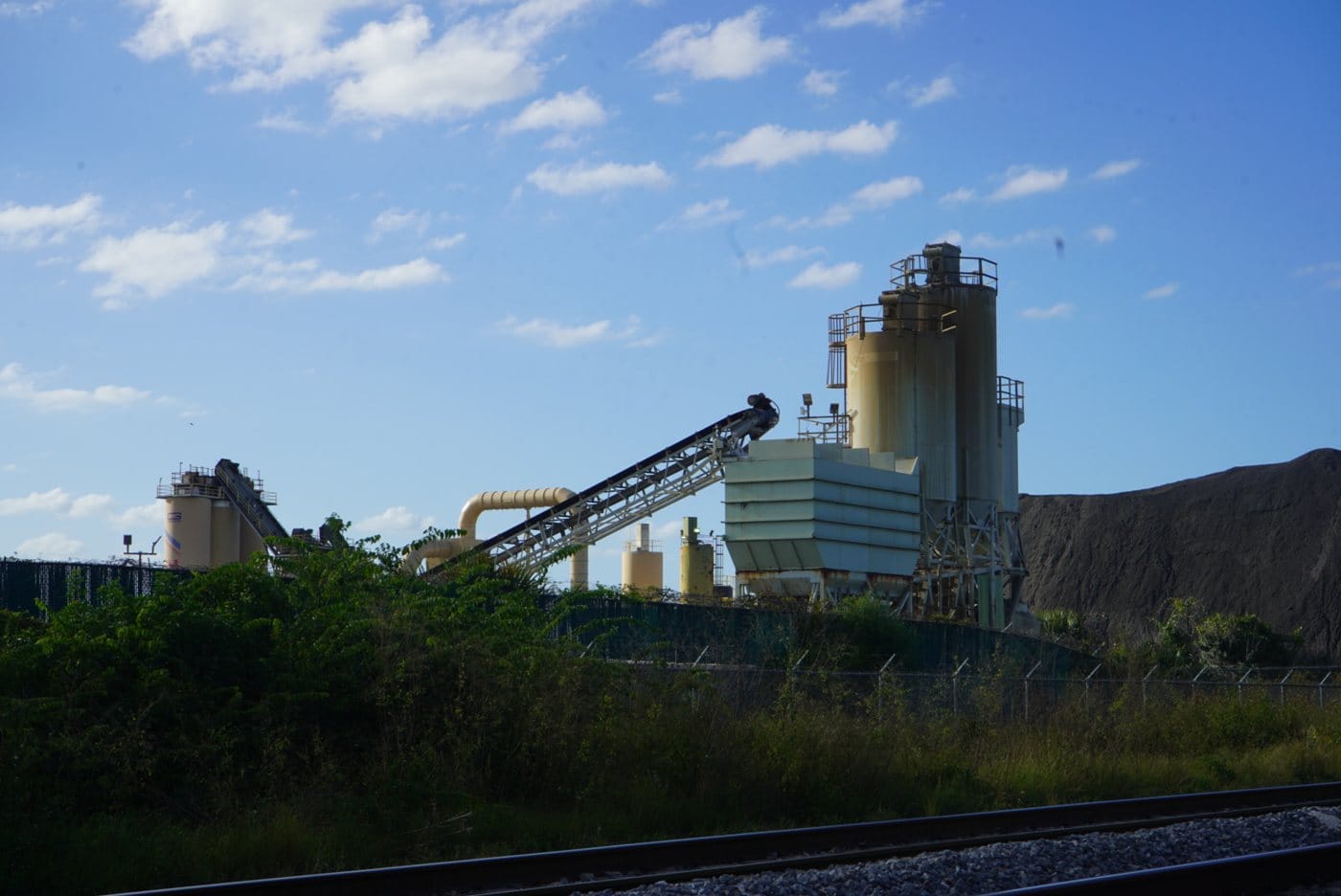 Photo
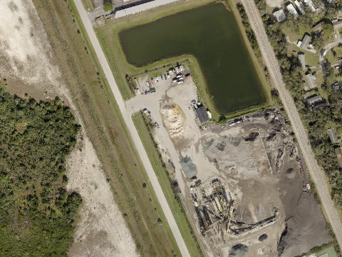 Satellite · reference point
Expand for details5 records · 1 vote record · 5 photos · map & project info
Timeline and votes
Decisions & project history
Newest firstSupplied field photos · Received date
Five plant photos added
Record details & sources
Supplied photos show Masci-branded silos, conveyors, processing equipment and material stockpiles at the existing asphalt plant. These are views of the plant, not confirmation that the proposed office and laboratory extension has been built. Capture dates unavailable.
Edgewater Development Services · Project update
Masci Extension: city report update
Record details & sources
The proposed office and laboratory extension was being reviewed.
Edgewater Planning and Zoning Board
Earlier asphalt-silo height request approved
Approved 6–0 with conditions
Individual votes
George Kennedy YESRobert Andrejkovics YESChris Hatcher YESPaul Wright YESThomas Duane YESBurton Maroney YESRecord details & sources
The Board allowed additional 80-foot asphalt silos, subject to aviation standards and ParkTowne and Florida Department of Transportation approvals. This earlier plant decision does not approve the current office-and-laboratory extension.
Volusia County Clerk · Recorded original deed
Warranty deed to Edgewater Asphalt Plant recorded
Record details & sources
The Warranty Deed dated September 22, 2016 conveys a described portion of ParkTowne Tract A-23 from R & B Florida Realty Holdings, LLC to Edgewater Asphalt Plant, LLC. The Clerk recorded it October 5 at book 7310/page 4166, instrument 2016184444, with a $1.4 million transfer stamp. The county appraiser currently lists Edgewater Asphalt Plant LLC as owner of parcel 7452220A0233, alternate key 6632111, and indexes September 22 as an unqualified improved-property transaction. Execution, recording and index dates are distinct; the transfer amount is not the office-and-lab construction budget. Clerk instrument 2016184444 · public online copy ↗ · Current county parcel and sales index ↗
Volusia County Clerk · Recorded original deed
Earlier warranty deed to R & B Florida Realty Holdings recorded
Record details & sources
A Warranty Deed dated May 18, 2006 names Oscar Zeller and Julian Greene as grantors and R & B Florida Realty Holdings, LLC as grantee. It was recorded May 30 at book 5840/page 2777, instrument 2006137426, with a $1.325 million transfer stamp. Its header identifies a parent parcel, while Exhibit A describes the portion of Tract A-23 repeated in the reviewed 2016 deed. The county links this earlier transaction to today’s parcel 7452220A0233 under a May 18 sale date, classified unqualified and vacant. This land history does not establish the start or cost of the current office-and-laboratory addition. Clerk instrument 2006137426 · public online copy ↗ · Current county parcel and sales index ↗
Photos and map
Photos & map


Project facts and sources
Project information & sources
- People & companies
County-listed owner: Edgewater Asphalt Plant LLC · Plant operator: Masci · Construction contractor for the proposed office/lab unconfirmed Original recorded deed / exact reference parcel ↗ · Earlier dated city report ↗ · Earlier dated city report ↗
The county appraiser lists Edgewater Asphalt Plant LLC as owner of parcel 7452220A0233, alternate key 6632111, at 427 Timaquan Trail. The reviewed deed dated September 22 and recorded October 5, 2016 names that company as grantee from R & B Florida Realty Holdings, LLC. The earlier 2006 deed describes the same portion of Tract A-23. The reviewed deeds do not establish a complete title chain or construction approval for the current office-and-laboratory addition. Original recorded deed / exact reference parcel ↗ · Current county parcel and sales index ↗ · Current county parcel and sales index ↗
- Approvals & permits
Office and laboratory expansion under review (September 2026 report).
- Size & completion
Project size: See the scope in What’s planned.
Completion: See the dated approvals and project history.
- Things to know
Field photo update: Supplied photos show Masci-branded silos, conveyors, processing equipment and material stockpiles at the existing asphalt plant. These are views of the plant, not confirmation that the proposed office and laboratory extension has been built. Photos received October 31, 2026; capture dates unavailable.
The earlier October 2019 variance allowed 80-foot asphalt silos subject to aviation, ParkTowne and state-highway requirements. That plant decision is separate from the current office-and-laboratory extension. Supplied photographs show the existing plant equipment and do not establish that the addition has been built.
The supplied photographs depict the existing asphalt plant. Their supplier is not established here as the legal landowner. Capture dates remain unavailable, and neither the photographs nor older silo approvals establish completion of the separately proposed office-and-laboratory addition.
- What happens next
The office-and-laboratory extension’s site layout remains under city review. The earlier silo variance and existing plant operations are separate from approval of this addition.
- Sources
Sources checked: Oct 23, 2026
Additional original records checked November 10, 2026. Historical predecessor scopes, issued and pending sequences, named roles, dated funding actions and ownership records remain separate facts; full lifecycle and construction completion remain unconfirmed.
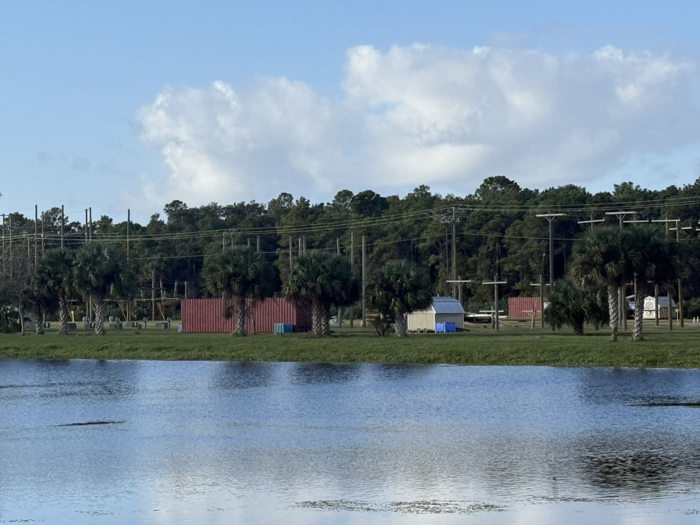 Photo
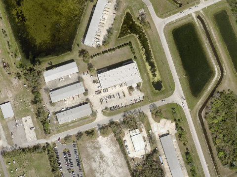 Satellite · reference point
Expand for details5 records · 3 vote records · 2 photos · map & project info
Timeline and votes
Decisions & project history
Newest firstEdgewater City Council · Earlier campus
City supports the original campus with an incentive agreement
Agreement approved 5–0
Individual votes
Mike Ignasiak YESChristine Power YESGigi Bennington YESDan Blazi YESGary T. Conroy YESRecord details & sources
An agreement supported the original Florida campus, with a ten-year incentive for eligible city property taxes subject to facility and job requirements.
Northwest Lineman College · Campus history
Northwest Lineman College opens its Edgewater campus
Record details & sources
The college identifies November 28, 2016 as its Edgewater opening date. This is the existing campus, before the training-yard proposal reviewed in 2026.
Edgewater City Council · Earlier campus
Campus tax-incentive ordinance advances at first vote
First vote passes 5–0
Individual votes
Mike Ignasiak YESChristine Power YESAmy Vogt YESDan Blazi YESGary T. Conroy YESRecord details & sources
Council advanced the existing campus's property-tax incentive ordinance at its first vote.
Edgewater City Council · Earlier campus
Campus tax-incentive ordinance approved
Approved 4–0
Individual votes
Mike Ignasiak YESChristine Power YESAmy Vogt YESGary T. Conroy YESRecord details & sources
Council approved Ordinance 2017-O-22 for the existing campus at 501 Pullman Road. This was an incentive decision rather than approval of the 2026 yard proposal.
Edgewater Development Services · Project update
Lineman College: city report update
Record details & sources
The proposed apprentice training yard was being reviewed.
Photos and map
Photos & map


Project facts and sources
Project information & sources
- People & companies
Operator: Northwest Lineman College · Builder not confirmed
City-listed project contact: Ross Jensen. City project record
- Approvals & permits
Training-yard site layout under review (September 2026 report).
- Size & completion
Project size: See the scope in What’s planned.
Completion: See the dated approvals and project history.
- Things to know
Owner photos show the existing outdoor training yard, including utility poles and training equipment. They do not establish whether the separately proposed yard expansion is finished.
- What happens next
The new transmission-apprentice training yard’s site layout remains under city review. The earlier campus opening and incentive approvals do not establish approval or completion of this separate yard.
- Sources
Sources checked: Oct 23, 2026
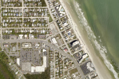 Satellite · reference point
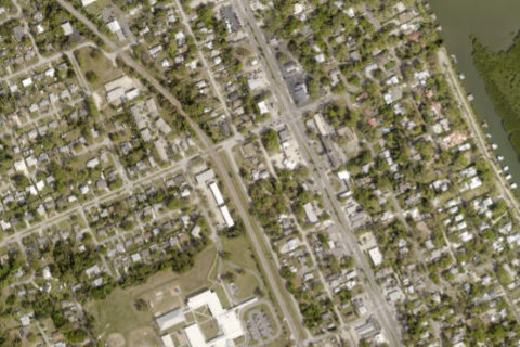 Satellite · reference point
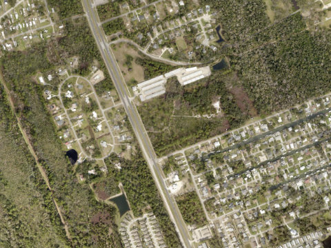 Satellite · reference point
Expand for details6 records · map & project info
Timeline and votes
Decisions & project history
Newest firstEdgewater Development Services · Project update
Godfrey Estates: city report update
Record details & sources
The proposed lot split includes 12 residential lots and one business lot; the layout was being reviewed.
Edgewater Development Services · Project update
City lists home lots and a separate business lot
Record details & sources
The March 2026 report lists a final lot map under review: 12 residential lots and one highway-business lot. It does not record approval.
St. Johns River Water Management District · Earlier preapplication
District receives Godfrey Estates preapplication
Record details & sources
The public district search lists Godfrey Estates, 219791-1, at 3575 South Ridgewood Road, received May 16, 2024. It lists The Balmoral Group and Anderson-Dixon LLC in the applicant field. At the November 10, 2026 check, this ERP Pre-Application is Closed and Never Issued, with no issue date and no documents returned by its public document list. Those preapplication labels do not establish denial of the subdivision, an issued environmental permit or final plat approval. The later city report is a separate source and review stage. Original public district search and exact preapplication header ↗
Volusia County Property Appraiser · Reference-parcel history
County index lists a warranty deed entry
Record details & sources
The appraiser’s index for reference parcel 844800000063, alternate key 6444251, at the city report’s 3575 South Ridgewood address lists a warranty deed under sale date 2011-09-09, book/page 6632/2578, instrument 2011156989, with $350,000 and qualified classification. This is a county-indexed land-history entry, not an independently reviewed deed, verified closing date, development approval or final project cost. The reference parcel is not assumed to be identical to the entire proposed subdivision, and the index is not a complete title chain. Original county record · exact reference parcel at report address ↗
Volusia County Property Appraiser · Reference-parcel history
County index lists a certificate of title entry
Record details & sources
The appraiser’s index for reference parcel 844800000063, alternate key 6444251, at the city report’s 3575 South Ridgewood address lists a certificate of title under sale date 2010-12-03, book/page 6543/2717, instrument 2010220380, with $100 and unqualified classification. This is a county-indexed land-history entry, not an independently reviewed deed, verified closing date, development approval or final project cost. The reference parcel is not assumed to be identical to the entire proposed subdivision, and the index is not a complete title chain. Original county record · exact reference parcel at report address ↗
Volusia County Property Appraiser · Reference-parcel history
County index lists a warranty deed entry
Record details & sources
The appraiser’s index for reference parcel 844800000063, alternate key 6444251, at the city report’s 3575 South Ridgewood address lists a warranty deed under sale date 2005-02-23, book/page 5508/1711, instrument 2005061867, with $968,000 and unqualified classification. This is a county-indexed land-history entry, not an independently reviewed deed, verified closing date, development approval or final project cost. The reference parcel is not assumed to be identical to the entire proposed subdivision, and the index is not a complete title chain. Original county record · exact reference parcel at report address ↗
Photos and map
Photos & map
Project facts and sources
Project information & sources
- People & companies
County-listed reference-parcel owner: Alison Vincent · Earlier district-listed applicants: The Balmoral Group / Anderson-Dixon LLC · City report contact: Connor Franklin · Construction contractor unconfirmed Original source-listed roles ↗ · County exact parcel record ↗
- Approvals & permits
Layout under review: 12 home lots and one business lot (September 2026 report).
The district’s May 2024 Godfrey Estates preapplication is a separate earlier stage: it is Closed / Never Issued, without an issue date, at this check. It does not establish subdivision denial or an issued ERP. The September 2026 city report separately describes a final lot map under review for 12 residential lots and one highway-business lot; no final plat recording, building permits, construction commencement, occupancy or completed homes are established by these records. Original case and review record ↗
- Size & completion
Planned / reported: 12 reported homes
Cleared to live in: Not confirmed.
Homes sold: Not confirmed.
Reported project scope. A complete city list of homes cleared to live in is not confirmed.
Full completion unconfirmed.
The appraiser lists Alison Vincent as 100% fee-simple owner of reference parcel 844800000063, alternate key 6444251, at 3575 S Ridgewood Road. This is the city report’s address and the district preapplication’s site address; the final plat boundaries and ownership of every proposed lot have not been independently reconciled. The parcel is not presented as automatically identical to the whole 12-home/one-business-lot proposal. County exact parcel record ↗
Selected county-indexed land history at the reference address extends to 2005. Listed dates and consideration are retained as index evidence, not actual deed findings or development-start dates. The exact acquisition chain, other title instruments and all final plat parcels remain unreconciled. The existing 12-home count remains a dated city proposal, not occupied homes. County exact parcel record ↗
- Things to know
Selected county-indexed land history at the reference address extends to 2005. Listed dates and consideration are retained as index evidence, not actual deed findings or development-start dates. The exact acquisition chain, other title instruments and all final plat parcels remain unreconciled. The existing 12-home count remains a dated city proposal, not occupied homes. County exact parcel record ↗
- What happens next
The final lot map for 12 residential lots and one highway-business lot remains under review in the city report. The older district preapplication’s Closed / Never Issued labels do not establish final-map approval or subdivision denial.
- Sources
Sources checked: Oct 23, 2026
Additional original records checked November 10, 2026. Historical predecessor scopes, issued and pending sequences, named roles, dated funding actions and ownership records remain separate facts; full lifecycle and construction completion remain unconfirmed.
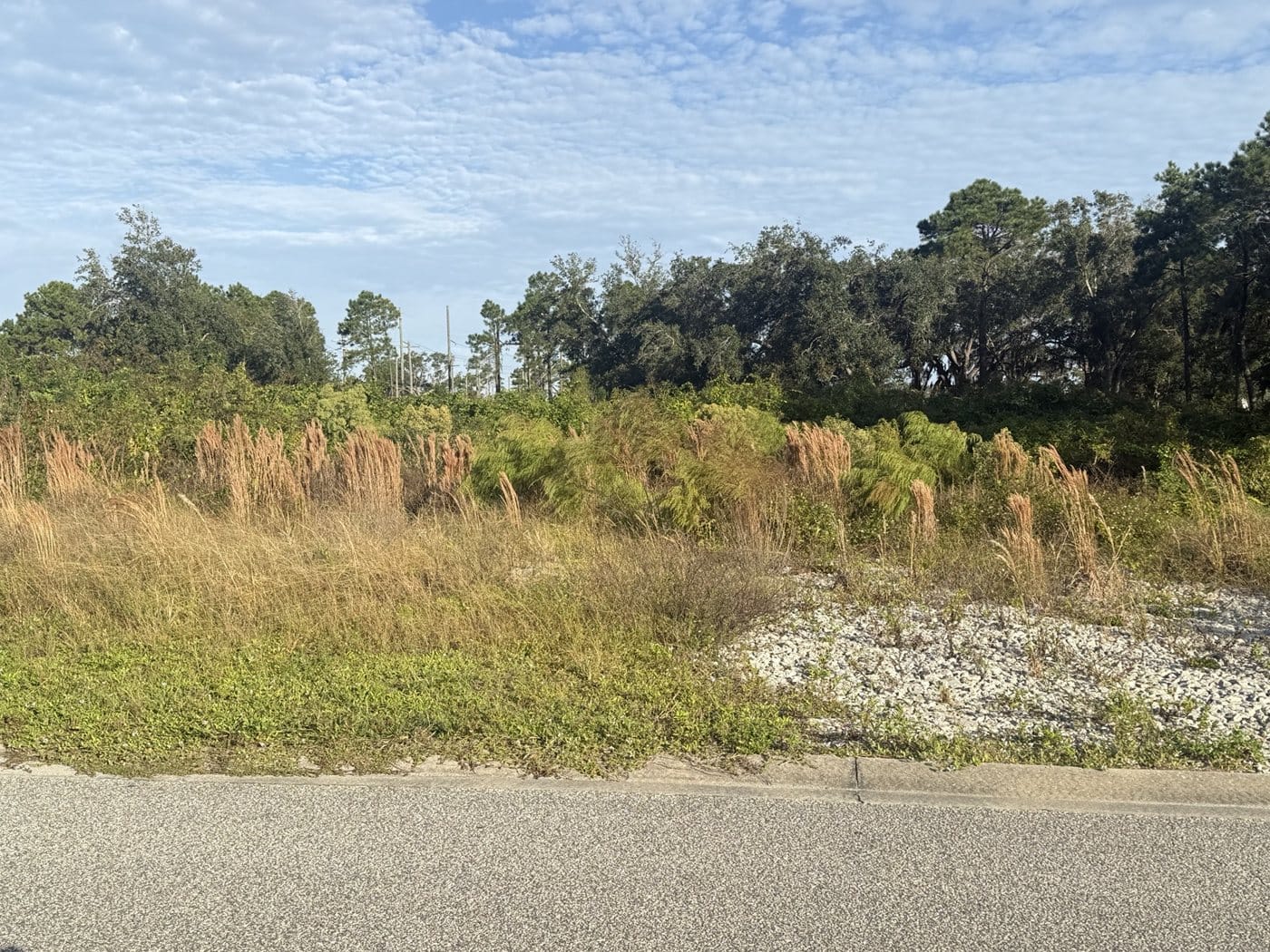 Photo
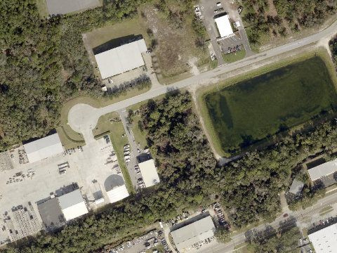 Satellite · reference point
Expand for details5 records · 1 photo · map & project info
Timeline and votes
Decisions & project history
Newest firstOwner field photos · Received date
Site photos added
Record details & sources
Owner photo shows overgrown ground and gravel along the frontage beside the block plant. No warehouse building is visible in this view. This frontage photo does not establish whether work has occurred elsewhere on the parcel. Capture date unavailable.
Volusia County Property Appraiser · Acquisition
Industrial parcel sale recorded
Record details & sources
Volusia County records a $425,000 sale of the vacant industrial parcel at 316 Base Leg Drive on October 6, recorded October 13. The sale entry lists Williams Development Edgewater as buyer. The city tracks a warehouse proposal at this address separately.
Edgewater Development Services · Project update
City lists the proposed warehouse under site-plan review
Record details & sources
The warehouse layout was being reviewed.
Volusia County Property Appraiser · Parcel history
Warranty-deed transfer listed
Record details & sources
The county property appraiser lists this WD-WARRANTY DEED entry for parcel 7452220M0010 at book/page 8115 / 1660, instrument 2021214693. The listed amount is $170,000; the county classifies the entry as qualified and the parcel as vacant at that time.
Volusia County Property Appraiser · Parcel history
Corporation-deed transfer listed
Record details & sources
The county property appraiser lists this CPD-CORPORATION DEED entry for parcel 7452220M0010 at book/page 6816 / 4770. The listed amount is $100; the county classifies the entry as unqualified and the parcel as vacant at that time.
Photos and map
Photos & map

Project facts and sources
Project information & sources
- People & companies
City-listed project contact: Sterling Lund. City project record
Sterling Lund is the city-listed contact. The report does not identify a building contractor or establish that the contact is the owner, developer or builder.
The county parcel record checked November 10, 2026 lists Williams Development Edgewater Bay 10 LLC as owner of parcel 7452220M0010 (alternate key 6470430), at 316 Base Leg Drive. Its indexed October 6 warranty-deed entry is instrument 2026187055, book/page 8916 / 1944, at $425,000, classified qualified and vacant. The sale is already recorded in the timeline above; this additional index reference does not establish changes to the warehouse proposal, a new applicant or a construction contractor. Sterling Lund remains the dated city-listed contact, a separate role. County parcel identity and sales index ↗
- Approvals & permits
Warehouse site layout under review (September 2026 report).
A building-permit number, construction schedule, certificate of occupancy and opening date remain unconfirmed. The report’s “under review” status is not a final approval or a finding that a permit was denied.
- Size & completion
Project size: See the scope in What’s planned.
Completion: See the dated approvals and project history.
- Things to know
Field photo update: Owner photo shows overgrown ground and gravel along the frontage beside the block plant. No warehouse building is visible in this view. This frontage photo does not establish whether work has occurred elsewhere on the parcel. Photos received October 31, 2026; capture dates unavailable.
Lund Warehouse is a proposal for a new warehouse at 316 Base Leg Drive in Edgewater. The city’s July–September 2026 development report lists it as non-residential project 41, with the site plan—the proposed layout of the property—still under review as of September 30, 2026. That dated status does not establish that construction has started.
Building area, acreage, a case number and an approval date are not stated in this project’s report row. No board vote or individual ballots are provided there.
The county appraiser’s land table lists 74,487 square feet, about 1.71 acres, for the exact 316 Base Leg Drive parcel and classifies it as vacant industrial land. This is the tax parcel’s land area, not a proposed warehouse floor area, surveyed development boundary or construction inspection. County parcel land data ↗
- What happens next
The plans are under review.
- Sources
Sources checked: Oct 28, 2026
County parcel transaction tables checked November 10, 2026. Amounts and vacant/improved labels describe the indexed transactions, not construction progress or appraised values. Multi-parcel amounts are not allocated to individual sites. The county cautions that these tables are not a complete chain of title; deed parties and boundaries require the original recorded instruments.
The exact parcel’s land area and tax-use classification were checked November 15, 2026.
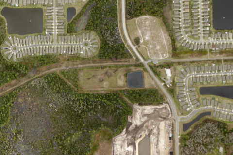 Satellite · reference point
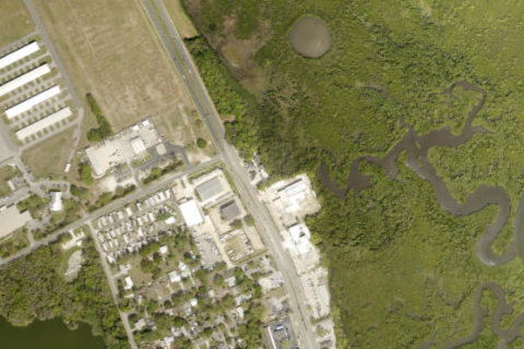 Satellite · reference point
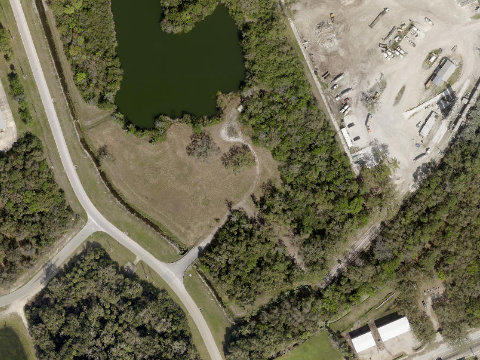 Satellite · reference point
Expand for details20 records · map & project info
Timeline and votes
Decisions & project history
Newest firstSt. Johns River Water Management District · Permit issued
District issues environmental permit modification
Record details & sources
The district issued permit modification 65055-51 to East Coast Havens, LLC for a 3.39-acre commercial and light industrial project identified in the staff report at 451 Rowan Way. Runoff goes to the existing master stormwater system. The city separately lists a building permit at 441 Rowan Way.
Issued permit ↗ · District staff report ↗ · 451 Rowan Way parcel ↗
St. Johns River Water Management District · Filed record
Applicant answers district’s modification questions
Record details & sources
The response says the temporary construction entrance was added to the plans and a corrected drainage narrative, development order and inspection material were attached. It describes the site as under construction under earlier permit 65055-43. The live modification remains pending; submission of a response does not establish that staff accepted every answer.
St. Johns River Water Management District · Filed record
District requests clarification of drainage and master-system use
Record details & sources
Staff requested a named signing designee, temporary construction entrance location, consistent impervious-area figures, legal authorization to use the master stormwater system and a recent inspection report for that system. These are review questions, not a permit decision.
St. Johns River Water Management District · Filed record
Minor modification seeks more roof or paved area
Record details & sources
The filed application identifies a 4.08-acre project and proposes a 20,000-square-foot increase in roof or paved area, which the applicant says remains below the site’s allocation. It modifies 65055-43; the new sequence is not a new manufacturing-facility approval.
Edgewater · Original inspection results
Fence footing and lintel inspections approved
Record details & sources
The original city inspection records at 451 ROWAN WAY show:
101 (FOOTING) · Approved · permit 26-1606 (CFEN00073587826070700) · actual inspection date Aug 13, 2026 · Original inspection result ↗
104 (LINTEL) · Approved · permit 26-1606 (CFEN00073587826070700) · actual inspection date Aug 13, 2026 · Original inspection result ↗These are inspections of the fence at 451 Rowan Way, separate from the manufacturing-building proposal.
Volusia County Property Appraiser · Parcel history
Temporary security-gate permit entry listed
Record details & sources
The property appraiser’s permit summary lists 26-00001606 for parcel 7452220A0110 with the description “TEMPORARY CHAIN-LINK SECURITY GATECOMMERCIAL FENCE” and an amount of $2,500. This is a secondary county listing. Its date and amount do not establish permit issuance, passed inspections, work completion or total project cost.
Edgewater city report · Earlier approval expiration
Earlier six-week extension scheduled to expire
Record details & sources
The September 2025 report lists this extension endpoint after the original August expiration. The later June 2026 development order is a separate milestone.
Official source ↗Volusia County Property Appraiser · Parcel history
Landscape permit entry listed
Record details & sources
The property appraiser’s permit summary lists 25-00001372 for parcel 7452220A0110 with the description “ADD 50 BAMBOO 15 GAL 6'-8' LANDSCAPELAND/SITE DEVELOPMENT PERMIT” and an amount of $3,000. This is a secondary county listing. Its date and amount do not establish permit issuance, passed inspections, work completion or total project cost.
Edgewater Development Services · Historical report
Building permit not yet issued
Record details & sources
The April 1 report lists the 6,000-square-foot Havens building at 441 Rowan Way with a development order but no building permit.
Volusia County Property Appraiser · Parcel history
Commercial-building permit entry listed
Record details & sources
The property appraiser’s permit summary lists 23-00003012 for parcel 7452220A0110 with the description “SEE NOTES FOR SCOPE OF WORKCOMMERCIAL NEW” and an amount of $800,000. This is a secondary county listing. Its date and amount do not establish permit issuance, passed inspections, work completion or total project cost.
Edgewater city report · Earlier development order
Earlier development order issued
Record details & sources
The older report records this order, an August 25, 2025 expiration and a withdrawn building permit. The later 2026 order remains separately recorded.
Official source ↗Edgewater city report · Recorded milestone
Development order issued
Record details & sources
The city report identifies a 6,000-square-foot manufacturing facility at 441 Rowan Way and building permit 26-1356.
Official city report · page 8Edgewater Development Services · Project update
Havens Metals: city report update
Record details & sources
A development order was issued June 2, 2026; building permit 26-1356 is listed.
Edgewater Development Services · Historical report
Manufacturing plan in earlier staff review
Record details & sources
The city lists the 6,000-square-foot Havens manufacturing facility at 441 Rowan Way under review.
Volusia County Property Appraiser · Parcel history
Warranty-deed transfer listed
Record details & sources
The county property appraiser lists this WD-WARRANTY DEED entry for parcel 7452220A0110 at book/page 8163 / 0869, instrument 2021285904. The listed amount is $335,000; the county classifies the entry as multi-parcel and the parcel as vacant at that time.
Volusia County Property Appraiser · Parcel history
Warranty-deed transfer listed
Record details & sources
The county property appraiser lists this WD-WARRANTY DEED entry for parcel 7452220A0110 at book/page 7586 / 1940, instrument 2018167495. The listed amount is $255,000; the county classifies the entry as and the parcel as vacant at that time.
Volusia County Property Appraiser · Parcel history
Earlier clearing permit entry listed
Record details & sources
The property appraiser’s permit summary lists 8-1042 for parcel 7452220A0110 with the description “CLEARING” and an amount of $0. This is a secondary county listing. Its date and amount do not establish permit issuance, passed inspections, work completion or total project cost.
Volusia County Property Appraiser · Parcel history
Warranty-deed transfer listed
Record details & sources
The county property appraiser lists this WD-WARRANTY DEED entry for parcel 7452220A0110 at book/page 6190 / 2298, instrument 2008026843. The listed amount is $200,000; the county classifies the entry as unqualified and the parcel as vacant at that time.
Volusia County Property Appraiser · Parcel history
Warranty-deed transfer listed
Record details & sources
The county property appraiser lists this WD-WARRANTY DEED entry for parcel 7452220A0110 at book/page 5859 / 1862, instrument 2006160745. The listed amount is $58,150; the county classifies the entry as unqualified and the parcel as vacant at that time.
Volusia County Property Appraiser · Parcel history
Warranty-deed transfer listed
Record details & sources
The county property appraiser lists this WD-WARRANTY DEED entry for parcel 7452220A0110 at book/page 5859 / 1867, instrument 2006160747. The listed amount is $82,500; the county classifies the entry as unqualified and the parcel as vacant at that time.
Photos and map
Photos & map
Project facts and sources
Project information & sources
- People & companies
The issued district modification already recorded in the timeline names East Coast Havens LLC as permit holder for 65055-51. That is an environmental-permit role, separate from the construction contractor or a current title certification. The existing 441/451 Rowan Way address distinction remains. Issued district permit ↗
- Approvals & permits
The district environmental modification is issued. City building records under 26-1356 list 451 Rowan Way and fees due; building-permit issuance is unconfirmed.
More roof or paved area requested · checked October 31. East Coast Havens applied September 22 to add 20,000 square feet of hard surfaces to its 4.08-acre site at 441/451 Rowan Way. The change was pending at the October 31 check. The district issued the modification on November 6 for the 3.39-acre project described in its permit. The applicant said October 16 that construction was underway under its earlier permit; that work has not been independently inspected here. Live district case 65055-51
Original city permit portal checked November 10, 2026: permit 26-1356 at 451 ROWAN WAY currently has PermitFeesDue on the inspected 3 records. BLDS00073498826062600 ↗ · BLDS00074498700000001 ↗ · SPS 00074519000000000 ↗
permit 26-1606 at 451 ROWAN WAY currently has PermitNoContractor on the inspected 1 record. CFEN00073587826070700 ↗The current application labels and dated inspection results are reported separately. An occupancy certificate requires separate evidence.
The September city report locates the manufacturing proposal at 441 Rowan Way and lists 26-1356. The original permit lookup returns three records under that number at 451 Rowan Way, each marked PermitFeesDue. That address difference remains unresolved; a report listing is not presented as proof that the building permit was issued.
- Size & completion
Project size: Proposed 6,000-square-foot manufacturing facility.
Completion: See the dated approvals and project history.
- Things to know
6,000 square feet Manufacturing Facility. A development order was issued June 2, 2026; building permit 26-1356 is listed.
- Sources
Sources checked: Oct 23, 2026 · District Oct 31, 2026 · District permit Nov 7, 2026
Historical city reports checked November 5, 2026. Report snapshots describe their stated dates, not current status. The October–December report repeats September tables; only its dated quarter narrative is used for the drainage update.
Earlier city-report history checked November 5, 2026. Report snapshots retain their stated dates and earlier phase counts; they do not establish current permits, occupancy or complete project history.
County parcel transaction tables checked November 10, 2026. Amounts and vacant/improved labels describe the indexed transactions, not construction progress or appraised values. Multi-parcel amounts are not allocated to individual sites. The county cautions that these tables are not a complete chain of title; deed parties and boundaries require the original recorded instruments.
County permit-summary entries checked November 10, 2026. Historical entries may concern earlier site uses and do not establish approval or completion of the current proposal. The property appraiser directs permit-status questions to the relevant building department.
Original public inspection and contract records checked November 10, 2026. Actual inspection dates are used separately from scheduled dates; permit numbers are not interpreted as filing or issue dates.
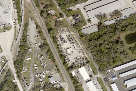 Satellite · reference point
Expand for details3 records · map & project info
Timeline and votes
Project timeline
Newest firstCity portal · Minutes publication
City publishes October 14 meeting minutes
Record details & sources
The city portal marks the October 14 meeting minutes Final and records publication on November 2. For CU-2605 at 128 N Old County Road, the minutes record approval with six affirmative votes: Thomas Duane, Patrick Fisher, James McGinnis, Robert Andrejkovics, Chris Hatcher and Dwight Cunningham. They describe added impound storage for an existing salvage business and no public comments on the item. The mover and seconder are not named. November 2 is the publication date; the approval occurred October 14. This use approval does not establish a new building permit or a new opening. Original October 14 published minutes · CU-2605, PDF page 2 ↗ · Official event · Final status and publication timestamp ↗
Edgewater Planning and Zoning Board · Project record
Planning board approval recorded
Approved 6–0Who voted? · October 14, 2026 · expressly recorded in the published minutes
Thomas Duane YESPatrick Fisher YESJames McGinnis YESRobert Andrejkovics YESChris Hatcher YESDwight Cunningham YESThe minutes do not identify the mover or seconder.
Record details & sources
The board approved CU-2605 on October 14, 2026. The official minutes, published November 2 and marked Final by the portal, record six affirmative votes: Thomas Duane, Patrick Fisher, James McGinnis, Robert Andrejkovics, Chris Hatcher and Dwight Cunningham. The minutes do not name the mover or seconder. The earlier action-history source remains linked alongside the later minutes. This use approval does not establish a building permit or a new opening.
The minutes were published November 2 and marked Final by the portal; October 14 is the approval date. Original published October 14 minutes ↗
Edgewater Planning and Zoning Board · Project record
Vehicle-impound storage application received
Record details & sources
The stamped application requests outside vehicle-impound storage to support wrecker service at 128 N. Old County Road.
Photos and map
Photos & map
Project facts and sources
Project information & sources
- What’s planned
Add outdoor vehicle-impound storage to an existing salvage-yard business.
128 N. Old County Road
- People & companies
Hibiscus Auto & Salvage LLC is the owner listed by city staff. Franklin D. Kelley is the applicant.
- Approvals & permits
The published minutes record 6–0 approval of CU-2605 on October 14, 2026. The portal marks the minutes Final and published them November 2; building completion and opening remain unconfirmed. Original published minutes ↗ · Official publication timestamp ↗
- Size & completion
This is a business-use project. No homes are proposed in the reviewed case; building completion and opening are not confirmed.
- Things to know
The existing salvage-yard use and the added vehicle-impound use are separate. The pin shows an approximate point on the reference parcel.
The October 14 minutes, marked Final by the city portal and published November 2, list six yes votes: Thomas Duane, Patrick Fisher, James McGinnis, Robert Andrejkovics, Chris Hatcher and Dwight Cunningham. The minutes do not identify the mover or seconder. The existing October 31 source-check qualification about missing minutes describes the earlier check; the new publication supplies the later named vote evidence. Six named October 14 votes ↗
- What happens next
This use approval does not establish a new building or opening date.
- Sources
Original application ↗ · City staff report ↗ · Published board action ↗
Sources checked October 31, 2026.
Additional original records checked November 10, 2026. Historical predecessor scopes, issued and pending sequences, named roles, dated funding actions and ownership records remain separate facts; full lifecycle and construction completion remain unconfirmed.
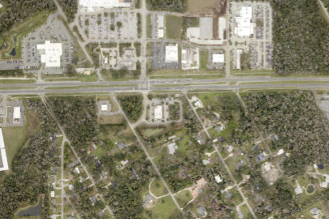 Satellite · reference point
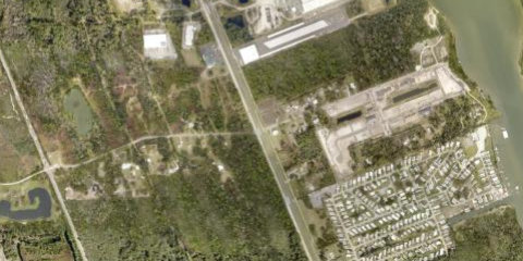 Satellite · reference point
Expand for details9 records · 2 vote records · map & project info
Timeline and votes
Decisions & project history
Newest firstEdgewater City Council · Road agreement
Jones Fish Camp Road agreement approved
Approved 4–0 · Mike Thomas excusedEdgewater City Council · Individual votes
Diezel DePew YESCharlotte Gillis YESDebbie Dolbow YESEric Rainbird YESMike Thomas EXCUSEDRecord details & sources
The Council approved the shared road agreement tied to the River Oaks mixed-use development and Yardly site plan. The developer is to build the road with City reimbursement. This road decision does not change the unresolved 188-versus-196 home count or establish a building permit.
The minutes describe two roundabouts, a bike path, underground utilities and improved drainage. They record a five-year completion requirement and a City share of $1,888,155.82; this is an agreement commitment, not money verified as spent.
Builder listing · Status review
Yardly Riverfront listed as coming soon
Record details & sources
Taylor Morrison identifies a rental community in Edgewater. This is the listing review date.
City development report · Project update
City report lists Yardly with 188 units
Record details & sources
The July–September report lists site-plan approval and no building permit; its cover has an inconsistent fiscal-year label. This is a historical status, not a current construction finding.
City Council · Approval
Residential site plan and traffic agreement approved
Passed 3–2Who voted?
Gigi Bennington YESDebbie Dolbow YESRob Wilkie YESDiezel DePew NOCharlotte Gillis NORecord details & sources
Approval required the Alice Street driveway to remain closed until Jones Fish Camp Road work was complete, with stormwater work and sod before building construction.
Edgewater city staff · Public notice
Public notice sign posted for residential site plan
Record details & sources
The original SP-2319 staff packet records a public-notice sign posted on July 31, 2024 for the residential site plan. It also records notices mailed to addresses within 500 feet without a separate mailing date. This notice is distinct from the later approval and road agreement.
City staff record · Application
Residential site plan submitted
Record details & sources
The staff report records submission for a 196-unit rental project on 18.21 acres.
City development report · Recording
Mixed-use development agreement recorded
Record details & sources
Recording date reported by the city; recording is not the later residential site-plan approval.
Edgewater Development Services · Project update
Edgewater River Oak (Yardly) mixed-use planned unit development: city report update
Record details & sources
The city lists 188 homes, site-plan approval and no building permit in this snapshot.
City planning records · Historical report
Earlier mixed-use plan under review
Record details & sources
The March 2023 report lists Edgewater River Oak at 161 Jones Fish Camp Road under review, with residential and commercial uses and 188 reported homes. Later approvals and counts remain separate.
Photos and map
Photos & map
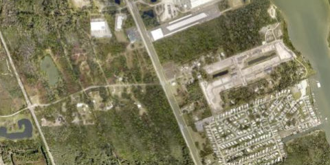
Project facts and sources
Project information & sources
- People & companies
Taylor Morrison markets the community as Yardly Riverfront. The original SP-2319 staff packet names Omni Development LLC as owner and Nick Gluckman as applicant. Those are the filed residential-plan roles, separate from a verified current deed or a phase-specific construction contract. Original residential-plan parties ↗
- Approvals & permits
Coming soon · rental community.
- Size & completion
Planned / reported: 188–196 homes
Cleared to live in: Not confirmed.
Homes sold: Rental community; individual home-sales count is not applicable.
City records list both 188 and 196 homes. We show the range until the difference is confirmed. A complete city list of homes cleared to live in is not confirmed.
Full completion unconfirmed.
- Things to know
Taylor Morrison markets the rental community as coming soon. An earlier city plan listed 196 homes on 18.21 acres; a later report lists 188. The difference remains unresolved. The separate marina proposal is not counted as rental housing.
The original residential plan includes a pool and cabana, BBQ area, pickleball, a butterfly garden and a dog park. It is the 18.21-acre rental-home component of a larger mixed-use project; the marina, hotel, boat-storage, retail and restaurant assumptions in the wider traffic study are not additional homes in this card. Original residential scope and amenities ↗
Staff reported a submitted school-capacity determination with no objection from Volusia County Schools, and a completed traffic-review process. The traffic requirements included Jones Fish Camp Road improvements and a signalized intersection at U.S. 1. These are the plan’s review findings and required works; they do not establish current road completion, building permits or occupancy certificates. The later road agreement remains separately dated.
- Sources
Sources checked: Oct 23, 2026
SP-2319; Edgewater River Oaks mixed-use planned unit development. The map is an area view at the United States Route 1 / Jones Fish Camp Road intersection, not a project boundary.
Earlier city-report history checked November 5, 2026. Report snapshots retain their stated dates and earlier phase counts; they do not establish current permits, occupancy or complete project history.
Additional filed residential-plan parties, amenities, school/traffic review and July 31, 2024 notice details reviewed November 15, 2026. These documents do not establish current phase occupancy or construction-permit status.
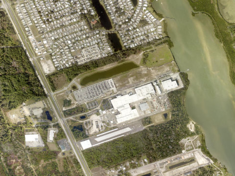 Satellite · reference point
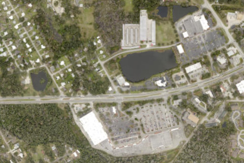 Satellite · reference point
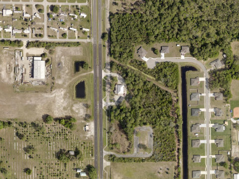 Satellite · reference point
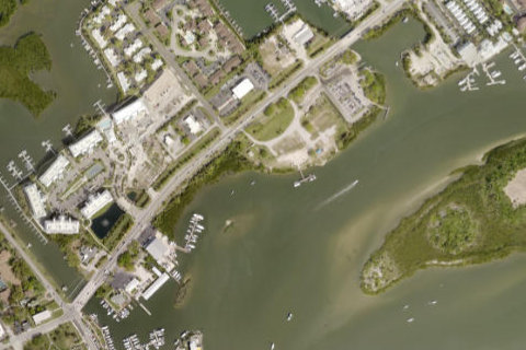 Satellite · reference point
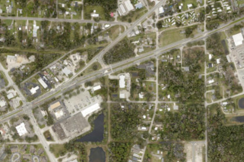 Satellite · reference point
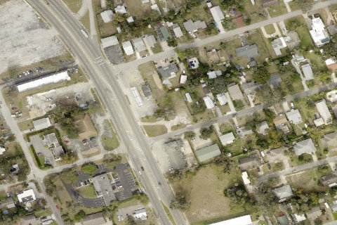 Satellite · reference point
Expand for details24 records · map & project info
Timeline and votes
Project timeline
Newest firstEdgewater Planning and Zoning Board · Project record
Separate carport variance approved despite staff recommendation
Record details & sources
The published action records approval of VA-2621. Staff recommended denial, citing setbacks, runoff and site-design concerns. The report describes a 30-by-30-foot carport but elsewhere calls it 1,500 square feet; the size conflicts. Requested setbacks were 5 feet south and 10 feet front and rear. The record does not establish the final approved drawing or an issued building permit.
Edgewater Planning and Zoning Board · Project record
Planning board approves the storage and ice-vending use
Record details & sources
The official case records approval of CU-2604. This is a land-use decision, separate from any building permit or completed carport.
Edgewater Planning and Zoning Board · Project record
Covered-storage case created
Record details & sources
The city case proposes replacing the earlier food-truck-court plan with storage in a partially enclosed carport and bringing the existing ice-vending use into conformity.
Edgewater · Original inspection results
Shed and fence pass final inspections
Record details & sources
Edgewater’s original inspection-detail records show Approved results dated October 31, 2025 for the building final on shed permit 25-1356 and the fence final on permit 25-1357 at 601 North Ridgewood Avenue. The Inspection Date and Scheduled Date fields both show October 31.
The same portal currently labels each application PermitExpired. The inspection approvals and application labels are preserved as separate facts. These older shed and fence records do not establish a building permit or completed work for the separate 2026 covered-storage carport proposal.
199 (Building Final) · 25-1356 ↗ · 903 (FENCE FINAL) · 25-1357 ↗
Volusia County Property Appraiser · Parcel history
Shed permit entry listed
Record details & sources
The property appraiser’s permit summary lists 25-00001356 for parcel 745006000020 with the description “PERSONAL USE SHED 10X20SHED (PRE-MANUFACTURED)” and an amount of $8,000. This is a secondary county listing. Its date and amount do not establish permit issuance, passed inspections, work completion or total project cost.
Volusia County Property Appraiser · Parcel history
Fence permit entry listed
Record details & sources
The property appraiser’s permit summary lists 25-00001357 for parcel 745006000020 with the description “APPROX 180'L 6'H 2 X GATESFENCE” and an amount of $5,000. This is a secondary county listing. Its date and amount do not establish permit issuance, passed inspections, work completion or total project cost.
Edgewater · Original inspection results
Final inspections approved
Record details & sources
The original city inspection records at 601 N RIDGEWOOD AVE show:
307 (FIRE FINAL) · Approved · permit 24-722 (COMR00064506924051300) · actual inspection date Dec 11, 2024; scheduled for Nov 26, 2024 · Original inspection result ↗
602 (STORMWATER FINAL) · Approved · permit 24-722 (COMR00064506924051300) · actual inspection date Dec 11, 2024; scheduled for Dec 10, 2024 · Original inspection result ↗These records concern earlier work on the same property. They do not establish permits or completed construction for the separate 2026 covered-storage proposal.
Edgewater · Original inspection results
Final inspection results recorded
Record details & sources
The original city inspection records at 601 N RIDGEWOOD AVE show:
199 (Building Final) · Approved · permit 24-722 (COMR00064506924051300) · actual inspection date Nov 26, 2024 · Original inspection result ↗
602 (STORMWATER FINAL) · Disapproved · permit 24-722 (COMR00064506924051300) · actual inspection date Nov 26, 2024 · Original inspection result ↗These records concern earlier work on the same property. They do not establish permits or completed construction for the separate 2026 covered-storage proposal.
Edgewater · Original inspection results
Final inspections approved
Record details & sources
The original city inspection records at 601 N RIDGEWOOD AVE show:
299 (ELECTRICAL FINAL) · Approved · permit 24-722 (SPE 00064507724051300) · actual inspection date Nov 25, 2024; scheduled for Oct 22, 2024 · Original inspection result ↗
399 (PLB FINAL) · Approved · permit 24-722 (SPP 00064508524051300) · actual inspection date Nov 25, 2024; scheduled for Nov 20, 2024 · Original inspection result ↗These records concern earlier work on the same property. They do not establish permits or completed construction for the separate 2026 covered-storage proposal.
Edgewater Development Services · Historical report
Earlier use had a building permit
Record details & sources
The September 30 report lists permit 24-722 as issued for the food-truck project. This is a historical snapshot, not the later covered-storage permit.
Edgewater Development Services · Historical report
Earlier food-truck plan cleared staff review
Record details & sources
The city reports staff review approval for a food-truck court, ice machine and restroom at 601 North Ridgewood Avenue. This predates the later storage proposal.
Edgewater Planning and Zoning Board · Project record
Earlier food-truck proposal receives buffer variance
Record details & sources
VA-2313 allowed a 10-foot landscape buffer instead of 30 feet along the north and east residential boundaries. The motion passed 6–0: George Kennedy, Robert Andrejkovics, Thomas Duane, Eric Rainbird, Paul Wright and Chris Hatcher voted yes; Albert Amalfitano was absent. Residents raised noise, trash and buffer concerns. Kuhnley described a prior technical review and subsequent purchase; the minutes do not establish the deed date or price.
Volusia County Property Appraiser · Parcel history
Warranty-deed transfer listed
Record details & sources
The county property appraiser lists this WD-WARRANTY DEED entry for parcel 745006000020 at book/page 8378 / 4605, instrument 2023049441. The listed amount is $180,000; the county classifies the entry as unqualified and the parcel as vacant at that time.
Volusia County Property Appraiser · Parcel history
Warranty-deed transfer listed
Record details & sources
The county property appraiser lists this WD-WARRANTY DEED entry for parcel 745006000020 at book/page 8169 / 3016, instrument 2021295756. The listed amount is $87,000; the county classifies the entry as qualified and the parcel as vacant at that time.
Edgewater · Original inspection results
Final inspection approved
Record details & sources
The original city inspection records at 601 N RIDGEWOOD AVE show:
199 (Building Final) · Approved · permit 21-2297 (CHWD00047730721071900) · actual inspection date Aug 11, 2021 · Original inspection result ↗
These records concern earlier work on the same property. They do not establish permits or completed construction for the separate 2026 covered-storage proposal.
Volusia County Property Appraiser · Parcel history
Tax-deed transfer listed
Record details & sources
The county property appraiser lists this TD-TAX DEED entry for parcel 745006000020 at book/page 8050 / 2071, instrument 2021116474. The listed amount is $34,100; the county classifies the entry as unqualified and the parcel as vacant at that time.
Volusia County Property Appraiser · Parcel history
Personal-representative transfer listed
Record details & sources
The county property appraiser lists this PR1-PERSONAL REP entry for parcel 745006000020 at book/page 7466 / 1768, instrument 2017211774. The listed amount is $100; the county classifies the entry as unqualified and the parcel as improved at that time.
Volusia County Property Appraiser · Parcel history
Warranty-deed transfer listed
Record details & sources
The county property appraiser lists this WD-WARRANTY DEED entry for parcel 745006000020 at book/page 7424 / 2954, instrument 2017140328. The listed amount is $66,100; the county classifies the entry as unqualified and the parcel as vacant at that time.
Volusia County Property Appraiser · Parcel history
Quitclaim transfer listed
Record details & sources
The county property appraiser lists this QC-QUIT CLAIM DEED entry for parcel 745006000020 at book/page 7259 / 0400, instrument 2016098092. The listed amount is $100; the county classifies the entry as unqualified and the parcel as improved at that time.
Volusia County Property Appraiser · Parcel history
Quitclaim transfer listed
Record details & sources
The county property appraiser lists this QC-QUIT CLAIM DEED entry for parcel 745006000020 at book/page 7220 / 2289, instrument 2016032000. The listed amount is $100; the county classifies the entry as unqualified and the parcel as improved at that time.
Volusia County Property Appraiser · Parcel history
Quitclaim transfer listed
Record details & sources
The county property appraiser lists this QC-QUIT CLAIM DEED entry for parcel 745006000020 at book/page 7198 / 4602, instrument 2015236481. The listed amount is $100; the county classifies the entry as unqualified and the parcel as improved at that time.
Volusia County Property Appraiser · Parcel history
Warranty-deed transfer listed
Record details & sources
The county property appraiser lists this WD-WARRANTY DEED entry for parcel 745006000020 at book/page 2393 / 0702. The listed amount is $30,000; the county classifies the entry as unqualified and the parcel as vacant at that time.
Volusia County Property Appraiser · Parcel history
Warranty-deed transfer listed
Record details & sources
The county property appraiser lists this WD-WARRANTY DEED entry for parcel 745006000020 at book/page 1979 / 1254. The listed amount is $15,500; the county classifies the entry as unqualified and the parcel as improved at that time.
Volusia County Property Appraiser · Parcel history
Warranty-deed transfer listed
Record details & sources
The county property appraiser lists this WD-WARRANTY DEED entry for parcel 745006000020 at book/page 1556 / 0360. The listed amount is $5,000; the county classifies the entry as unqualified and the parcel as vacant at that time.
Photos and map
Photos & map
Project facts and sources
Project information & sources
- What’s planned
Use a partially enclosed carport for business storage. The case also addresses an ice-vending machine already on the property.
601 N. Ridgewood Avenue
- People & companies
City staff identifies TK Property Enterprises LLC as owner and Timothy Kuhnley as applicant. A construction contractor is not confirmed.
- Approvals & permits
The board approved the storage and ice-vending use (CU-2604) and a separate carport variance (VA-2621) on August 12, 2026. The older buffer variance (VA-2313) belongs to the food-truck proposal. These are distinct decisions; no construction-permit issuance is established.
Original city permit portal checked November 10, 2026: permit 24-722 at 601 N RIDGEWOOD AVE currently has PermitExpired on the inspected 3 records. COMR00064506924051300 ↗ · SPE 00064507724051300 ↗ · SPP 00064508524051300 ↗
permit 21-2297 at 601 N RIDGEWOOD AVE currently has PermitExpired on the inspected 1 record. CHWD00047730721071900 ↗The current application labels and dated inspection results are reported separately. An occupancy certificate requires separate evidence.
- Size & completion
Parcel 7450-06-00-0020 covers about 0.33 acre. The variance report describes a 30-by-30-foot carport but elsewhere calls it 1,500 square feet. Those figures remain unreconciled; the approved floor area, construction completion and opening remain unconfirmed.
- Things to know
The ice machine already existed. The reviewed proposal changes an earlier food-truck-court plan to covered storage. The pin shows an approximate reference-parcel point.
- Sources
Full city case and staff report ↗ · Published board action ↗
September 13, 2023 minutes · page 6 ↗ · Carport variance and staff report ↗
Additional city history and both 2026 case records checked November 5, 2026. This is not a complete acquisition or building-permit search.
Historical city reports checked November 5, 2026. Report snapshots describe their stated dates, not current status. The October–December report repeats September tables; only its dated quarter narrative is used for the drainage update.
County parcel transaction tables checked November 10, 2026. Amounts and vacant/improved labels describe the indexed transactions, not construction progress or appraised values. Multi-parcel amounts are not allocated to individual sites. The county cautions that these tables are not a complete chain of title; deed parties and boundaries require the original recorded instruments.
County permit-summary entries checked November 10, 2026. Historical entries may concern earlier site uses and do not establish approval or completion of the current proposal. The property appraiser directs permit-status questions to the relevant building department.
Original city case fields checked November 10, 2026. Current case statuses, application dates, issue dates and case-closure fields are separate facts. Building permits or file closure alone do not establish overall completion or permission to occupy.
Original public inspection and contract records checked November 10, 2026. Actual inspection dates are used separately from scheduled dates; permit numbers are not interpreted as filing or issue dates.
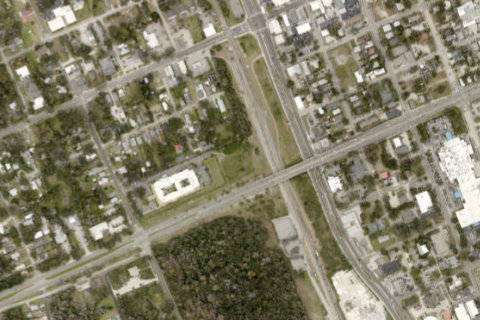 Satellite · reference point
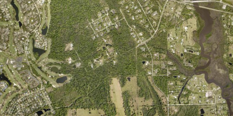 Satellite · reference point
Expand for details10 records · 5 vote records · map & project info
Timeline and votes
Decisions & project history
Newest firstNew Smyrna Beach city map · Dated source check
City map checked; published case information recorded
Record details & sources
Case S-10-18: 194 lot subdivision. City map status: Under Construction. Approval body listed: City Commission. Approval date listed: May 14, 2024.
The map describes a 194-lot subdivision; this card cites 182 approved lots and a later 166-home builder plan. These source counts conflict. The existing total is retained pending reconciliation of phases and revised plans.
This is the map information available at the check, not a new city decision. Individual votes, applicant, builder and permit history are not supplied by this map.
Builder source · Source review
Builder and community information checked
Record details & sources
KB Home markets Rolling Hills at Sugar Mill as coming soon and identifies a sales office as coming soon. This builder status does not change the preserved city-approved lot count.
Official builder sourceNew Smyrna Beach City Planning · Historical report
Earlier inventory describes 194 lots
Record details & sources
S-10-18: staff was preparing for Commission review. The reported 194 lots differ from later approved and marketed totals.
Planning and Zoning Board · Recommendation
Planning board opposes the 196-home proposal
Recommendation opposed 2–5Record details & sources
City Commission · First review of the proposed law
advance the 196-home plan on first review of the proposed law
Passed 4–1; Jake Sachs voted no.Who voted?
Jim Hathaway YESJason McGuirk YESJudy Reiker YESRandy Hartman YESJake Sachs NORecord details & sources
City Commission · Record
Earlier development agreement adopted
Record details & sources
City Commission · Decision
allow removal of eight historic trees
Passed 3–2; Jake Sachs and Michael Kolody voted no.Who voted?
Russ Owen PRESENTMichael Kolody NORandy Hartman PRESENTJason McGuirk PRESENTJake Sachs NORecord details & sources
EnvironmentHistoric treesPlanning and Zoning Board · Recommendation
Board recommends the 182-lot layout
Recommendation passed 5–1Who voted?
Wheatcraft YESHodges YESHulvershorn YESNeylon YESSmith YESWeiss NORecord details & sources
The named roll call is 5–1; the minutes’ narrative says unanimous.
City Commission · Decision
Final lot map and construction plans approved
carried unanimously.Who voted? · reconstructed from the minutes
Fred E. Cleveland YESLisa Martin YESJason McGuirk YESValli Perrine YESRandy Hartman YESThe minutes give the result and who attended, but do not list each person’s vote. Individual votes shown here were worked out from that information.
Record details & sources
Project record · Record
Land sale announced
Record details & sources
Photos and map
Photos & map
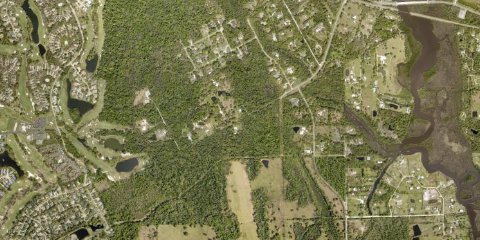
Project facts and sources
Project information & sources
- Approvals & permits
Coming soon, per KB Home.
- Size & completion
Planned / reported: 182 homes
Cleared to live in: Not confirmed.
Homes sold: Not confirmed.
The city approved 182 lots; KB Home later announced 166 homes. This total uses the approved lots. A complete city list of homes cleared to live in is not confirmed.
Full completion unconfirmed.
- Things to know
The sources describe different lot counts: the city map lists 194, the approved-lot history uses 182 and KB Home announced 166 homes. Those figures remain attributed to their sources; the card retains the approved-lot count until their phase and plan scopes are reconciled.
The county’s June 18, 2024 road-contribution agreement specifies $348,525. Approval of that agreement does not establish receipt of the money or total construction cost. Existing county funding source ↗
- Sources
Sources checked: Through Jul 14, 2026
See the source links in the project history.
Earlier city-report history checked November 5, 2026. Report snapshots retain their stated dates and earlier phase counts; they do not establish current permits, occupancy or complete project history.
News coverage · 2 links
- KB Home buys land for development aimed at first-time buyers south of Daytona
Homes.com News · 2026-07-01 · Reporting - New Smyrna Beach explores new residential development projects in city commission meeting
Spectrum News · 2024-05-28 · Reporting
Funding & public costs
Volusia County road contribution · June 18, 2024 agreement.
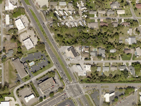 Satellite · reference point
Expand for details10 records · map & project info
Timeline and votes
Decisions & project history
Newest firstEdgewater Development Services · Project update
Take 5 Oil Change: city report update
Record details & sources
Technical Review Committee approval and a development order are listed for June 2, 2026.
City case record · Record
Take 5 site-plan request listed · SP-2601
Agenda entry; decision unconfirmedRecord details & sources
Edgewater · Published case and staff recommendation
Staff describes three reviews and recommends site-plan approval
Record details & sources
The SP-2601 case created May 28 says the application underwent three Technical Review Committee reviews, including review by the city’s engineer Mead and Hunt, and that comments had been incorporated into the final site-plan iteration. Staff recommends approval for conversion of the existing auto-mechanic shop into an oil-change facility. This recommendation is distinct from an adopted motion. The current API history is empty; the separate September city report states a June 2 development order. SP-2601 · staff narrative and recommendation ↗
Applicant engineering plans · Listed submittal history
Plan cover lists FDOT submittal
Record details & sources
The plan cover lists April 9, 2026 as an FDOT submittal date for the conversion at 1737 South Ridgewood Avenue. The same cover identifies FDOT safety-upgrade and drainage permit number 2026-D-591-15 but leaves their Date Issued fields blank. The submittal notation is not an independently verified FDOT approval. Site-plan attachment · cover sheet, FDOT fields ↗
Volusia County Clerk · Recorded original deed
Special warranty deed to T5 Edgewater recorded
Record details & sources
The Special Warranty Deed names Sidney & Francois, LLC as grantor and T5 Edgewater, LLC as grantee for this parcel. Its first page is dated as of March 30, 2026. It was recorded April 1 at book 8834/pages 1407–1411, instrument 2026057774, with a $1.35 million transfer stamp. The appraiser separately indexes March 27 as the sale date and classifies the transaction unqualified. The source dates are retained separately; the transfer amount is not a construction cost. Clerk instrument 2026057774 · public online copy ↗ · County parcel sales index ↗
City staff report · Application history
Oil-change conversion application submitted
Record details & sources
Staff dates the first application to January 2026 without an exact day. The proposal converts an existing auto-mechanic shop to an oil-change facility.
The staff narrative places first application in January 2026 without an exact day. The engineering cover separately lists December 29, 2025 as applicant-supplied city-submittal history; that notation is not an official city receipt. Both sources remain linked. Actual SP-2601 staff narrative ↗
Applicant engineering plans · Listed submittal history
Plan cover lists December city submittal
Record details & sources
The engineering plan cover lists December 29, 2025 under City of Edgewater in Submittal History. The city staff narrative separately says the applicant first submitted in January 2026. The cover is applicant-supplied history, not a city receipt; the two sources are retained without assuming the dates describe the same administrative step. The plans identify Driven Brands as developer and BGE as civil engineer. Site-plan attachment · cover sheet, listed submittal history ↗
Volusia County Clerk · Recorded original deed
Warranty deed to Sidney & Francois recorded
Record details & sources
The Clerk recorded a Warranty Deed from Robert M. Robitzsch and Linda V. Robitzsch to Sidney & Francois, LLC on November 28, 2022 at book 8339/page 458, instrument 2022262674. The transfer stamp is $1 million. The parcel appraiser indexes a November 14 sale date and classifies it unqualified. Recording date and indexed sale date are distinct; this is an ownership transaction rather than the later shop-conversion budget. Clerk instrument 2022262674 · public online copy ↗ · County parcel sales index ↗
Volusia County Clerk · Recorded original deed
Warranty deed between Robitzsch owners recorded
Record details & sources
A Warranty Deed dated and acknowledged May 19, 2017 conveys the parcel from Leon C. Robitzsch Jr. and Frances K. Robitzsch to Robert M. Robitzsch and Linda V. Robitzsch. It was recorded May 23 at book 7401/page 3961, instrument 2017102156. The original transfer stamp says $10; the appraiser indexes $100 under May 19 as an unqualified transaction. These attributed values do not establish a market sale price. Clerk instrument 2017102156 · public online copy ↗ · County parcel sales index ↗
Volusia County Property Appraiser · Indexed sale date
County index links an earlier property transaction
Record details & sources
The appraiser index for parcel 840228020043, alternate key 3964331, lists a May 15, 1978 warranty-deed entry at book 1986/page 991 for $101,500, classified unqualified and improved. This is the index’s sale-date field, not an independently reviewed deed or verified closing date. The Clerk’s online image coverage begins in 1988; the original 1978 document and earlier acquisition history remain unverified. County parcel sales index · earlier original not reviewed ↗
Photos and map
Photos & map
Project facts and sources
Project information & sources
- People & companies
Recorded owner: T5 Edgewater, LLC · Plan developer: Driven Brands · Civil engineer: BGE · Construction contractor unconfirmed Original recorded deed / exact reference parcel ↗ · Earlier dated city report ↗ · Earlier dated city report ↗
The April 1, 2026 recorded Special Warranty Deed names T5 Edgewater, LLC as grantee from Sidney & Francois, LLC for parcel 840228020043. Its transfer stamp is $1.35 million. Earlier reviewed deeds document the 2017 and 2022 ownership changes. The appraiser links an additional 1978 entry whose original remains unreviewed; a complete title chain is not established. Original recorded deed / exact reference parcel ↗ · County parcel sales index ↗ · County parcel sales index ↗ · County parcel sales index ↗
- Approvals & permits
Development order issued June 2, 2026.
- Size & completion
Project size: Submitted plans show about 0.51 acre, an existing building of about 3,642 square feet and a proposed converted building area of about 3,000 square feet.
Completion: See the dated approvals and project history.
Sheet 9 of the submitted engineering plans lists an approximately 0.51-acre site, existing building area of approximately 3,642 square feet and proposed building area of approximately 3,000 square feet. It depicts conversion of the existing structure, revised pavement and circulation, three standard parking spaces and one accessible space. These are proposed drawing quantities, not verified as-built dimensions or proof of opening. Submitted engineering plans · sheet 9 ↗
- Things to know
Update the current structure's parking area, bay doors, and exiting driveway. Technical Review Committee approval and a development order are listed for June 2, 2026.
The current case action-history response is empty, while the separate September 2026 city report lists a June 2 development order. Neither an empty history response nor the submitted plan establishes an opening, occupancy certificate, awarded construction contract or individual vote. The drawing’s FDOT Date Issued fields are blank. Actual SP-2601 staff narrative ↗ · Submitted engineering plans · sheet 9 ↗
- Sources
Sources checked: Oct 23, 2026
Additional original records checked November 10, 2026. Historical predecessor scopes, issued and pending sequences, named roles, dated funding actions and ownership records remain separate facts; full lifecycle and construction completion remain unconfirmed.
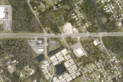 Satellite · reference point
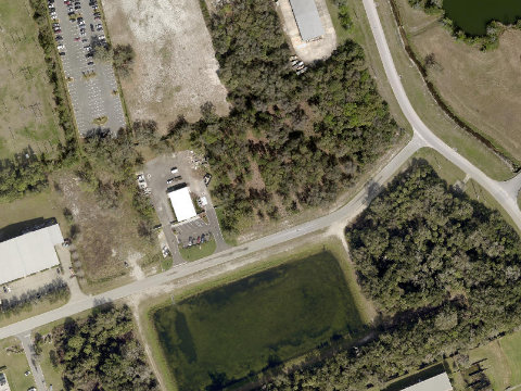 Satellite · reference point
Expand for details24 records · map & project info
Timeline and votes
Decisions & project history
Newest firstTenant website · Source check
SESupply lists an open counter in Building 2
Record details & sources
SESupply’s own locations page lists an Edgewater counter at 305 Base Leg Drive, Building 2, with opening hours and will-call pickup. Its own “We’re Open for Business” page describes service at the same address. This is a November 10 website check, not a verified first opening date, city occupancy certificate or confirmation of all tenants in the three-building property. Tenant’s own location page · Building 2 ↗ · Tenant’s own open-for-business page ↗
Volusia County Clerk · Recorded original document
Corporate warranty deed records $3.775 million transfer
Record details & sources
A Corporate Warranty Deed dated and acknowledged May 13, 2026 conveys Tract A19/Lot A19 from Poseidon Industrial Properties LLC to Williams Development Edgewater Bay 10, LLC. Kyle Mariacher signs as the grantor’s manager. The Clerk recorded it May 15 at book 8853/pages 4432–4433, instrument 2026088379, with Transfer Amt $3,775,000 and $26,425 documentary stamps. The county appraiser indexes May 13 as a qualified improved-property transaction at $3.775 million. The recorded deed supplies the buyer’s full name where the appraiser display truncates it. This transfer amount is not a verified construction budget. Clerk instrument 2026088379 · public online copy ↗ · Original county parcel sales index · 7452220A0190 ↗
The Clerk’s public Official Records link may show a standard viewing notice first. Accept that public notice if prompted, then use the instrument number and book/page above. The online copy is source evidence, not a certified title chain.
Commercial property listing · Dated marketing record
Warehouse property appears in a dated sale listing
Record details & sources
The retained listing identifies parcel 7452-22-0A-0190 and gives February 9, 2026 as Date on Market, 23,560 square feet of rentable building area, a 1.51-acre site and 2025 construction. At the November 10 check, the page says the property is no longer advertised and lists May 28 as Last Updated; that update date does not establish a withdrawal or closing date. The county’s separate tax building areas and later transaction entry are retained as different source measures and records. Retained commercial listing · Date on Market and current archived status ↗
Edgewater · Original city inspection records
Stormwater finals and remaining water/plumbing checks approved
Record details & sources
All three SPS stormwater records show Approved with actual Inspection Date October 28, although their Scheduled Date fields say August 26. The 24-1759 building record also shows approved water-service and second rough-plumbing checks on October 28. The actual inspection dates are kept separate from the earlier scheduled dates. Public lookup: enter permit 24-1756, 24-1758 or 24-1759, select the building, fire or stormwater record, and open Details to read the Inspection Date. City public permit lookup · numbered records and actual inspection dates ↗
Individual city records (5)
Permit 24-1756 · SPS · 602 (STORMWATER FINAL) · Approved. Inspection Date: Oct 28, 2025. Scheduled Date: Aug 26, 2025. City record 1766583.
Permit 24-1758 · SPS · 602 (STORMWATER FINAL) · Approved. Inspection Date: Oct 28, 2025. Scheduled Date: Aug 26, 2025. City record 1766591.
Permit 24-1759 · COMN · 304 (WATER SERVICE) · Approved. Inspection Date: Oct 28, 2025. Scheduled Date: Oct 28, 2025. City record 1765965.
Permit 24-1759 · COMN · 305 (2 ND ROUGH PLUMBING) · Approved. Inspection Date: Oct 28, 2025. Scheduled Date: Oct 28, 2025. City record 1765957.
Permit 24-1759 · SPS · 602 (STORMWATER FINAL) · Approved. Inspection Date: Oct 28, 2025. Scheduled Date: Aug 26, 2025. City record 1744580.
Use the public permit lookup, select the numbered COMN, FIRE or SPS record, then open its inspection Details. These record numbers are locators; canceled requests are not performed inspections. Open public permit lookup ↗
Edgewater Development Services · Project update
Mariacher – 305 Base Leg Dr.: city report update
Record details & sources
The project appeared in the September 2025 city report. It is not listed in the newer table; its present status is not confirmed by those reports.
Edgewater · Original city inspection records
Building and electrical finals approved for all three warehouses
Record details & sources
The city records approved building finals and electrical finals on all three building records, plus approved sewer checks. The 24-1756 and 24-1758 records also show approved water-service and second rough-plumbing checks; 24-1759 separately has an approved mechanical final. These are documented inspection results, not independently reviewed certificates of occupancy. Public lookup: enter permit 24-1756, 24-1758 or 24-1759, select the building, fire or stormwater record, and open Details to read the Inspection Date. City public permit lookup · numbered records and actual inspection dates ↗
Individual city records (14)
Permit 24-1756 · COMN · 199 (Building Final) · Approved. Inspection Date: Sep 16, 2025. Scheduled Date: Sep 16, 2025. City record 1751999.
Permit 24-1756 · COMN · 299 (ELECTRICAL FINAL) · Approved. Inspection Date: Sep 16, 2025. Scheduled Date: Sep 16, 2025. City record 1751981.
Permit 24-1756 · COMN · 304 (WATER SERVICE) · Approved. Inspection Date: Sep 16, 2025. Scheduled Date: Sep 16, 2025. City record 1751973.
Permit 24-1756 · COMN · 305 (2 ND ROUGH PLUMBING) · Approved. Inspection Date: Sep 16, 2025. Scheduled Date: Sep 16, 2025. City record 1751957.
Permit 24-1756 · COMN · 306 (SEWER) · Approved. Inspection Date: Sep 16, 2025. Scheduled Date: Sep 16, 2025. City record 1751965.
Permit 24-1758 · COMN · 199 (Building Final) · Approved. Inspection Date: Sep 16, 2025. Scheduled Date: Sep 16, 2025. City record 1751940.
Permit 24-1758 · COMN · 299 (ELECTRICAL FINAL) · Approved. Inspection Date: Sep 16, 2025. Scheduled Date: Sep 16, 2025. City record 1751932.
Permit 24-1758 · COMN · 304 (WATER SERVICE) · Approved. Inspection Date: Sep 16, 2025. Scheduled Date: Sep 16, 2025. City record 1751924.
Permit 24-1758 · COMN · 305 (2 ND ROUGH PLUMBING) · Approved. Inspection Date: Sep 16, 2025. Scheduled Date: Sep 16, 2025. City record 1751908.
Permit 24-1758 · COMN · 306 (SEWER) · Approved. Inspection Date: Sep 16, 2025. Scheduled Date: Sep 16, 2025. City record 1751916.
Permit 24-1759 · COMN · 199 (Building Final) · Approved. Inspection Date: Sep 16, 2025. Scheduled Date: Sep 16, 2025. City record 1751890.
Permit 24-1759 · COMN · 299 (ELECTRICAL FINAL) · Approved. Inspection Date: Sep 16, 2025. Scheduled Date: Sep 16, 2025. City record 1751874.
Permit 24-1759 · COMN · 306 (SEWER) · Approved. Inspection Date: Sep 16, 2025. Scheduled Date: Sep 16, 2025. City record 1751866.
Permit 24-1759 · COMN · 499 (MECHANICAL FINAL) · Approved. Inspection Date: Sep 16, 2025. Scheduled Date: Sep 16, 2025. City record 1751882.
Use the public permit lookup, select the numbered COMN, FIRE or SPS record, then open its inspection Details. These record numbers are locators; canceled requests are not performed inspections. Open public permit lookup ↗
Edgewater · Original city inspection records
Fire finals approved for all three permits
Record details & sources
The three FIRE companion records show approved fire-final results with actual Inspection Date September 12. Their summary tables show Scheduled Date September 15; this timeline uses the actual inspection date from the detail records. Public lookup: enter permit 24-1756, 24-1758 or 24-1759, select the building, fire or stormwater record, and open Details to read the Inspection Date. City public permit lookup · numbered records and actual inspection dates ↗
Individual city records (3)
Permit 24-1756 · FIRE · 307 (FIRE FINAL) · Approved. Inspection Date: Sep 12, 2025. Scheduled Date: Sep 15, 2025. City record 1751478.
Permit 24-1758 · FIRE · 307 (FIRE FINAL) · Approved. Inspection Date: Sep 12, 2025. Scheduled Date: Sep 15, 2025. City record 1751486.
Permit 24-1759 · FIRE · 307 (FIRE FINAL) · Approved. Inspection Date: Sep 12, 2025. Scheduled Date: Sep 15, 2025. City record 1751494.
Use the public permit lookup, select the numbered COMN, FIRE or SPS record, then open its inspection Details. These record numbers are locators; canceled requests are not performed inspections. Open public permit lookup ↗
Edgewater · Original city inspection records
Insulation checks approved on all three building records
Record details & sources
The city records approved insulation inspections with actual inspection dates of September 2 for the three building permits. Public lookup: enter permit 24-1756, 24-1758 or 24-1759, select the building, fire or stormwater record, and open Details to read the Inspection Date. City public permit lookup · numbered records and actual inspection dates ↗
Individual city records (3)
Permit 24-1756 · COMN · 109 (INSULATION) · Approved. Inspection Date: Sep 2, 2025. Scheduled Date: Sep 2, 2025. City record 1746635.
Permit 24-1758 · COMN · 109 (INSULATION) · Approved. Inspection Date: Sep 2, 2025. Scheduled Date: Sep 2, 2025. City record 1746643.
Permit 24-1759 · COMN · 109 (INSULATION) · Approved. Inspection Date: Sep 2, 2025. Scheduled Date: Sep 2, 2025. City record 1746650.
Use the public permit lookup, select the numbered COMN, FIRE or SPS record, then open its inspection Details. These record numbers are locators; canceled requests are not performed inspections. Open public permit lookup ↗
Edgewater · Original city inspection records
Partial building and system finals identify remaining items
Record details & sources
The building, mechanical and electrical finals on all three records are marked Partially approved on August 26; two records also show partial water-service results. The notes include remaining as-built/building-detail and insulation items. These partial results precede the later approved building, electrical and stormwater records. Public lookup: enter permit 24-1756, 24-1758 or 24-1759, select the building, fire or stormwater record, and open Details to read the Inspection Date. City public permit lookup · numbered records and actual inspection dates ↗
Individual city records (11)
Permit 24-1756 · COMN · 199 (Building Final) · Partially approved. Inspection Date: Aug 26, 2025. Scheduled Date: Aug 26, 2025. City record 1744168.
Permit 24-1756 · COMN · 299 (ELECTRICAL FINAL) · Partially approved. Inspection Date: Aug 26, 2025. Scheduled Date: Aug 26, 2025. City record 1744143.
Permit 24-1756 · COMN · 499 (MECHANICAL FINAL) · Partially approved. Inspection Date: Aug 26, 2025. Scheduled Date: Aug 26, 2025. City record 1744150.
Permit 24-1758 · COMN · 199 (Building Final) · Partially approved. Inspection Date: Aug 26, 2025. Scheduled Date: Aug 26, 2025. City record 1744200.
Permit 24-1758 · COMN · 299 (ELECTRICAL FINAL) · Partially approved. Inspection Date: Aug 26, 2025. Scheduled Date: Aug 26, 2025. City record 1744226.
Permit 24-1758 · COMN · 304 (WATER SERVICE) · Partially approved. Inspection Date: Aug 26, 2025. Scheduled Date: Aug 26, 2025. City record 1744242.
Permit 24-1758 · COMN · 499 (MECHANICAL FINAL) · Partially approved. Inspection Date: Aug 26, 2025. Scheduled Date: Aug 26, 2025. City record 1744218.
Permit 24-1759 · COMN · 199 (Building Final) · Partially approved. Inspection Date: Aug 26, 2025. Scheduled Date: Aug 26, 2025. City record 1744267.
Permit 24-1759 · COMN · 299 (ELECTRICAL FINAL) · Partially approved. Inspection Date: Aug 26, 2025. Scheduled Date: Aug 26, 2025. City record 1744283.
Permit 24-1759 · COMN · 304 (WATER SERVICE) · Partially approved. Inspection Date: Aug 26, 2025. Scheduled Date: Aug 26, 2025. City record 1744291.
Permit 24-1759 · COMN · 499 (MECHANICAL FINAL) · Partially approved. Inspection Date: Aug 26, 2025. Scheduled Date: Aug 26, 2025. City record 1744275.
Use the public permit lookup, select the numbered COMN, FIRE or SPS record, then open its inspection Details. These record numbers are locators; canceled requests are not performed inspections. Open public permit lookup ↗
Edgewater · Original city inspection records
Plumbing finals approved across the three building records
Record details & sources
The three records show approved plumbing-final results dated July 30. Later partial and final checks for other work are retained separately; this plumbing result alone does not establish an occupancy certificate. Public lookup: enter permit 24-1756, 24-1758 or 24-1759, select the building, fire or stormwater record, and open Details to read the Inspection Date. City public permit lookup · numbered records and actual inspection dates ↗
Individual city records (3)
Permit 24-1756 · COMN · 399 (PLB FINAL) · Approved. Inspection Date: Jul 30, 2025. Scheduled Date: Jul 30, 2025. City record 1732957.
Permit 24-1758 · COMN · 399 (PLB FINAL) · Approved. Inspection Date: Jul 30, 2025. Scheduled Date: Jul 30, 2025. City record 1732965.
Permit 24-1759 · COMN · 399 (PLB FINAL) · Approved. Inspection Date: Jul 30, 2025. Scheduled Date: Jul 30, 2025. City record 1732973.
Use the public permit lookup, select the numbered COMN, FIRE or SPS record, then open its inspection Details. These record numbers are locators; canceled requests are not performed inspections. Open public permit lookup ↗
Edgewater · Original city inspection records
Drywall inspection approved for permit 24-1759
Record details & sources
The city record associated with 24-1759 lists an approved wallboard/drywall check with an actual inspection date of July 28. This is a record-specific check rather than a documented final approval of all three buildings. Public lookup: enter permit 24-1756, 24-1758 or 24-1759, select the building, fire or stormwater record, and open Details to read the Inspection Date. City public permit lookup · numbered records and actual inspection dates ↗
Individual city records (1)
Permit 24-1759 · COMN · 124 (WALLBORAD DRYWALL) · Approved. Inspection Date: Jul 28, 2025. Scheduled Date: Jul 28, 2025. City record 1732049.
Use the public permit lookup, select the numbered COMN, FIRE or SPS record, then open its inspection Details. These record numbers are locators; canceled requests are not performed inspections. Open public permit lookup ↗
Edgewater · Original city inspection records
Early-power inspections approved for all three permits
Record details & sources
The three building records show approved early-power inspections dated July 24. The three separate electrical-final requests show Cancelled Date July 24, with no Inspection Date. These request cancellations are distinct from the actual early-power checks and later final electrical approvals. Public lookup: enter permit 24-1756, 24-1758 or 24-1759, select the building, fire or stormwater record, and open Details to read the Inspection Date. City public permit lookup · numbered records and actual inspection dates ↗
Individual city records (6)
Permit 24-1756 · COMN · 207 (EARLY POWER) · Approved. Inspection Date: Jul 24, 2025. Scheduled Date: Jul 24, 2025. City record 1731199.
Permit 24-1758 · COMN · 207 (EARLY POWER) · Approved. Inspection Date: Jul 24, 2025. Scheduled Date: Jul 24, 2025. City record 1731207.
Permit 24-1759 · COMN · 207 (EARLY POWER) · Approved. Inspection Date: Jul 24, 2025. Scheduled Date: Jul 24, 2025. City record 1731215.
Permit 24-1756 · COMN · 299 (ELECTRICAL FINAL) · Cancelled. No Inspection Date recorded. Scheduled Date: Jul 24, 2025. Cancelled Date: Jul 24, 2025. City record 1730795.
Permit 24-1758 · COMN · 299 (ELECTRICAL FINAL) · Cancelled. No Inspection Date recorded. Scheduled Date: Jul 24, 2025. Cancelled Date: Jul 24, 2025. City record 1730803.
Permit 24-1759 · COMN · 299 (ELECTRICAL FINAL) · Cancelled. No Inspection Date recorded. Scheduled Date: Jul 24, 2025. Cancelled Date: Jul 24, 2025. City record 1730811.
Use the public permit lookup, select the numbered COMN, FIRE or SPS record, then open its inspection Details. These record numbers are locators; canceled requests are not performed inspections. Open public permit lookup ↗
Edgewater · Original city inspection records
Framing inspections approved for two building records
Record details & sources
Framing checks for 24-1756 and 24-1759 are approved with actual inspection dates of June 24. The separate framing request for 24-1758 was canceled June 23, ahead of its June 24 scheduled date, with no Inspection Date. Public lookup: enter permit 24-1756, 24-1758 or 24-1759, select the building, fire or stormwater record, and open Details to read the Inspection Date. City public permit lookup · numbered records and actual inspection dates ↗
Individual city records (2)
Permit 24-1756 · COMN · 105 (FRAMING) · Approved. Inspection Date: Jun 24, 2025. Scheduled Date: Jun 24, 2025. City record 1713841.
Permit 24-1759 · COMN · 105 (FRAMING) · Approved. Inspection Date: Jun 24, 2025. Scheduled Date: Jun 24, 2025. City record 1713817.
Use the public permit lookup, select the numbered COMN, FIRE or SPS record, then open its inspection Details. These record numbers are locators; canceled requests are not performed inspections. Open public permit lookup ↗
Edgewater · Inspection request record
Framing request canceled before its scheduled inspection
Record details & sources
The framing request associated with 24-1758 shows Cancelled Date June 23 and Scheduled Date June 24, with no Inspection Date. It is an administrative request cancellation. The other two building records have separately dated June 24 framing approvals. Use the public permit lookup and open the applicable inspection Details to read Cancelled Date. City permit lookup · Cancelled Date field, distinct from performed inspections ↗
Individual city records (1)
Permit 24-1758 · COMN · 105 (FRAMING) · Cancelled. No Inspection Date recorded. Scheduled Date: Jun 24, 2025. Cancelled Date: Jun 23, 2025. City record 1713825.
Use the public permit lookup, select the numbered COMN, FIRE or SPS record, then open its inspection Details. These record numbers are locators; canceled requests are not performed inspections. Open public permit lookup ↗
Edgewater · Original city inspection records
Electrical rough-in approvals and partial plumbing checks recorded
Record details & sources
The records for permits 24-1756 and 24-1759 show approved electrical rough-in checks and partially approved second rough-plumbing checks. These results are specific to those two records; a corresponding June 10 result is not supplied for 24-1758 in the reviewed list. Public lookup: enter permit 24-1756, 24-1758 or 24-1759, select the building, fire or stormwater record, and open Details to read the Inspection Date. City public permit lookup · numbered records and actual inspection dates ↗
Individual city records (4)
Permit 24-1756 · COMN · 205 (ELECTRIC ROUGH IN) · Approved. Inspection Date: Jun 10, 2025. Scheduled Date: Jun 10, 2025. City record 1708130.
Permit 24-1756 · COMN · 305 (2 ND ROUGH PLUMBING) · Partially approved. Inspection Date: Jun 10, 2025. Scheduled Date: Jun 10, 2025. City record 1708122.
Permit 24-1759 · COMN · 205 (ELECTRIC ROUGH IN) · Approved. Inspection Date: Jun 10, 2025. Scheduled Date: Jun 10, 2025. City record 1708148.
Permit 24-1759 · COMN · 305 (2 ND ROUGH PLUMBING) · Partially approved. Inspection Date: Jun 10, 2025. Scheduled Date: Jun 10, 2025. City record 1708155.
Use the public permit lookup, select the numbered COMN, FIRE or SPS record, then open its inspection Details. These record numbers are locators; canceled requests are not performed inspections. Open public permit lookup ↗
Edgewater · Original city inspection records
Underground electrical-piping checks approved
Record details & sources
The city records approved electric underground-piping inspections on all three building records. The dates here use each detail page’s Inspection Date field. Public lookup: enter permit 24-1756, 24-1758 or 24-1759, select the building, fire or stormwater record, and open Details to read the Inspection Date. City public permit lookup · numbered records and actual inspection dates ↗
Individual city records (3)
Permit 24-1756 · COMN · 210 (ELECTRIC UNDERGROUND PIPING) · Approved. Inspection Date: May 15, 2025. Scheduled Date: May 15, 2025. City record 1698232.
Permit 24-1758 · COMN · 210 (ELECTRIC UNDERGROUND PIPING) · Approved. Inspection Date: May 15, 2025. Scheduled Date: May 15, 2025. City record 1698240.
Permit 24-1759 · COMN · 210 (ELECTRIC UNDERGROUND PIPING) · Approved. Inspection Date: May 15, 2025. Scheduled Date: May 15, 2025. City record 1698257.
Use the public permit lookup, select the numbered COMN, FIRE or SPS record, then open its inspection Details. These record numbers are locators; canceled requests are not performed inspections. Open public permit lookup ↗
Edgewater · Original city inspection records
Footing and slab records include correction and approval results
Record details & sources
All three building records contain both Disapproved and Approved footing/slab results dated February 7. The source records retain both outcomes and their comments. Later building and stormwater finals are separate dated records below; the same-date entries are not presented as a finding about current conditions. Public lookup: enter permit 24-1756, 24-1758 or 24-1759, select the building, fire or stormwater record, and open Details to read the Inspection Date. City public permit lookup · numbered records and actual inspection dates ↗
Individual city records (12)
Permit 24-1756 · COMN · 101 (FOOTING) · Disapproved. Inspection Date: Feb 7, 2025. Scheduled Date: Feb 7, 2025. City record 1652007.
Permit 24-1756 · COMN · 101 (FOOTING) · Approved. Inspection Date: Feb 7, 2025. Scheduled Date: Feb 7, 2025. City record 1652692.
Permit 24-1756 · COMN · 102 (SLAB MONO OR STRUCTURAL) · Disapproved. Inspection Date: Feb 7, 2025. Scheduled Date: Feb 7, 2025. City record 1651991.
Permit 24-1756 · COMN · 102 (SLAB MONO OR STRUCTURAL) · Approved. Inspection Date: Feb 7, 2025. Scheduled Date: Feb 7, 2025. City record 1652700.
Permit 24-1758 · COMN · 101 (FOOTING) · Disapproved. Inspection Date: Feb 7, 2025. Scheduled Date: Feb 7, 2025. City record 1652015.
Permit 24-1758 · COMN · 101 (FOOTING) · Approved. Inspection Date: Feb 7, 2025. Scheduled Date: Feb 7, 2025. City record 1652676.
Permit 24-1758 · COMN · 102 (SLAB MONO OR STRUCTURAL) · Disapproved. Inspection Date: Feb 7, 2025. Scheduled Date: Feb 7, 2025. City record 1652023.
Permit 24-1758 · COMN · 102 (SLAB MONO OR STRUCTURAL) · Approved. Inspection Date: Feb 7, 2025. Scheduled Date: Feb 7, 2025. City record 1652684.
Permit 24-1759 · COMN · 101 (FOOTING) · Disapproved. Inspection Date: Feb 7, 2025. Scheduled Date: Feb 7, 2025. City record 1652031.
Permit 24-1759 · COMN · 101 (FOOTING) · Approved. Inspection Date: Feb 7, 2025. Scheduled Date: Feb 7, 2025. City record 1652650.
Permit 24-1759 · COMN · 102 (SLAB MONO OR STRUCTURAL) · Disapproved. Inspection Date: Feb 7, 2025. Scheduled Date: Feb 7, 2025. City record 1652049.
Permit 24-1759 · COMN · 102 (SLAB MONO OR STRUCTURAL) · Approved. Inspection Date: Feb 7, 2025. Scheduled Date: Feb 7, 2025. City record 1652668.
Use the public permit lookup, select the numbered COMN, FIRE or SPS record, then open its inspection Details. These record numbers are locators; canceled requests are not performed inspections. Open public permit lookup ↗
Edgewater · Original city inspection records
First rough-plumbing inspections approved
Record details & sources
The actual Inspection Date is January 29 for approved first rough-plumbing checks on all three building records, associated with permits 24-1756, 24-1758 and 24-1759. This documents an intermediate construction inspection, not a certificate of occupancy. Public lookup: enter permit 24-1756, 24-1758 or 24-1759, select the building, fire or stormwater record, and open Details to read the Inspection Date. City public permit lookup · numbered records and actual inspection dates ↗
Individual city records (3)
Permit 24-1756 · COMN · 301 (1 ST ROUGH PLUMBING) · Approved. Inspection Date: Jan 29, 2025. Scheduled Date: Jan 29, 2025. City record 1649417.
Permit 24-1758 · COMN · 301 (1 ST ROUGH PLUMBING) · Approved. Inspection Date: Jan 29, 2025. Scheduled Date: Jan 29, 2025. City record 1649425.
Permit 24-1759 · COMN · 301 (1 ST ROUGH PLUMBING) · Approved. Inspection Date: Jan 29, 2025. Scheduled Date: Jan 29, 2025. City record 1649433.
Use the public permit lookup, select the numbered COMN, FIRE or SPS record, then open its inspection Details. These record numbers are locators; canceled requests are not performed inspections. Open public permit lookup ↗
Edgewater · Inspection request record
First rough-plumbing requests canceled
Record details & sources
The three building records show Cancelled Date January 23 for first rough-plumbing requests scheduled that day. The comments identify preparation and plan-clarification items. These are dated request cancellations; the separate performed first rough-plumbing checks are approved on January 29. Use the public permit lookup and open the applicable inspection Details to read Cancelled Date. City permit lookup · Cancelled Date field, distinct from performed inspections ↗
Individual city records (3)
Permit 24-1756 · COMN · 301 (1 ST ROUGH PLUMBING) · Cancelled. No Inspection Date recorded. Scheduled Date: Jan 23, 2025. Cancelled Date: Jan 23, 2025. City record 1643816.
Permit 24-1758 · COMN · 301 (1 ST ROUGH PLUMBING) · Cancelled. No Inspection Date recorded. Scheduled Date: Jan 23, 2025. Cancelled Date: Jan 23, 2025. City record 1643824.
Permit 24-1759 · COMN · 301 (1 ST ROUGH PLUMBING) · Cancelled. No Inspection Date recorded. Scheduled Date: Jan 23, 2025. Cancelled Date: Jan 23, 2025. City record 1643832.
Use the public permit lookup, select the numbered COMN, FIRE or SPS record, then open its inspection Details. These record numbers are locators; canceled requests are not performed inspections. Open public permit lookup ↗
Edgewater Building Department · Permits
Three warehouse permits issued
Record details & sources
The city report lists permits 24-1756, 24-1758 and 24-1759 for three warehouses at 305 Base Leg Drive.
Official source ↗Edgewater Development Services · Historical report
First warehouse permit listed
Record details & sources
The June 30 report lists issued permit 24-1759 for Mariacher’s three-warehouse project at 305 Base Leg Drive.
Volusia County Clerk · Recorded original document
Warranty deed to Poseidon Industrial Properties recorded
Record details & sources
A Warranty Deed executed and acknowledged February 1, 2024 conveys the same Tract A19/Lot A19 from Kyle Mariacher to Poseidon Industrial Properties LLC. It was recorded February 5 at book 8514/page 3872, instrument 2024023347. The original Clerk copy carries Transfer Amt $10.00 and $0.70 documentary stamps; the parcel appraiser instead indexes $100 under February 1 as an unqualified vacant-property transaction. These differing source values are retained separately and do not establish a verified market price. Clerk instrument 2024023347 · public online copy ↗ · Original county parcel sales index · 7452220A0190 ↗
The Clerk’s public Official Records link may show a standard viewing notice first. Accept that public notice if prompted, then use the instrument number and book/page above. The online copy is source evidence, not a certified title chain.
Volusia County Clerk · Recorded original document
Special warranty deed to Kyle Mariacher recorded
Record details & sources
A Special Warranty Deed executed April 10, 2023 conveys Tract A19, also known as Lot A19, ParkTowne Industrial Center, from Massey Family Enterprises LLC to Kyle Mariacher. The Clerk recorded it April 12, 2023 at book 8392/page 821, instrument 2023072268, with a $250,000 transfer stamp. The parcel appraiser indexes April 10 as a qualified vacant-property sale at $250,000. Execution, recording and county-indexed sale dates are kept distinct; the transfer amount is not a construction budget. Clerk instrument 2023072268 · public online copy ↗ · Original county parcel sales index · 7452220A0190 ↗
The Clerk’s public Official Records link may show a standard viewing notice first. Accept that public notice if prompted, then use the instrument number and book/page above. The online copy is source evidence, not a certified title chain.
Volusia County Clerk · Recorded original document
Company conversion recorded; county index classification differs
Record details & sources
The Clerk recorded a Certificate of Conversion and Articles of Organization at book 6816/page 4770 on February 8, 2013. The attached state certification says the documents were filed January 25, 2013; the conversion form identifies Massey Enterprises, a general partnership, converting to Massey Family Enterprises LLC and requests January 1, 2013 as its effective date. This is a company organization record, not a land-conveyance deed. The parcel appraiser links this record under January 25 as a $100 unqualified vacant-property corporation-deed entry. That index classification does not establish a $100 land purchase. The certification’s 1981 organizational date does not establish when this parcel was acquired or this warehouse project began. Clerk instrument 2013026458 · public online copy ↗ · Original county parcel sales index · 7452220A0190 ↗
The Clerk’s public Official Records link may show a standard viewing notice first. Accept that public notice if prompted, then use the instrument number and book/page above. The online copy is source evidence, not a certified title chain.
Photos and map
Photos & map
Project facts and sources
Project information & sources
- People & companies
Recorded buyer: Williams Development Edgewater Bay 10, LLC · Earlier city-report contact: Kyle Mariacher · SESupply lists Building 2 as an operating counter · Construction contractor unconfirmed Original recorded corporate warranty deed ↗ · Original county parcel sales index · 7452220A0190 ↗ · Tenant’s own Building 2 page ↗ · Earlier city report contact ↗
The May 13, 2026 Corporate Warranty Deed, recorded May 15 as instrument 2026088379, names Williams Development Edgewater Bay 10, LLC as grantee and Poseidon Industrial Properties LLC as grantor for Tract A19/Lot A19. Its transfer stamp is $3.775 million. The county appraiser currently lists the buyer in truncated form as “WILLIAMS DEVELOPMENT EDGEWATER BAY 10 LL” for parcel 7452220A0190, alternate key 6470308. The reviewed 2023 and 2024 deeds document the preceding transfers through Kyle Mariacher and Poseidon. The 2013 linked record is a company conversion, not a land deed. Earlier land acquisition and a complete title chain remain unverified. Original recorded corporate warranty deed ↗ · Original county parcel sales index · 7452220A0190 ↗
- Approvals & permits
City records show approved building finals for all three warehouses on September 16, 2025 and stormwater finals on October 28. SESupply lists an open counter in Building 2. Formal occupancy certificates and full-complex occupancy remain unverified. Public city permit lookup ↗
The three numbered permits are 24-1756, 24-1758 and 24-1759. Their public building, fire and stormwater record headers currently say PermitExpired, while their inspection results include approved building/electrical finals and later stormwater finals. The reason for those header labels and formal occupancy-certificate status are not established by the reviewed views. Completed inspection results, the current header label and the tenant’s website are retained as source-specific evidence rather than a full-project completion certificate. Public city permit lookup ↗
- Size & completion
The county’s current commercial cards list three buildings, each with 2025 as Built Year: Building 1 has 8,280 square feet, Building 2 has 8,280 and Building 3 has 7,100, totaling 23,660 tax-record square feet. Its land table lists 65,776 square feet. The archived broker listing gives 23,560 rentable square feet and 1.51 acres. Tax-record building area and marketed rentable area are different measures; they are not silently treated as identical approved-plan dimensions or surveyed boundaries. County exact parcel / commercial cards ↗ · Archived marketing listing · separate rentable area ↗
- Things to know
The review followed all public pagination for the three building records and their FIRE/SPS companions, then read 74 unique public inspection-detail records. The timeline uses the detail field Inspection Date. Fire finals show September 12 rather than the September 15 scheduled date; stormwater finals show October 28 rather than the August 26 scheduled date. Seven canceled requests carry scheduled and cancellation dates without an Inspection Date. Their January 23, June 23 and July 24 cancellations are shown as administrative request records, distinct from performed inspections. Permit numbers do not by themselves establish which physical building number belongs to each record. Public city permit lookup ↗
Enter 24-1756, 24-1758 or 24-1759; choose COMN for building, FIRE for fire or SPS for stormwater, then open the inspection Details. Direct detail URLs require the portal’s normal selected-permit session and otherwise return the lookup screen. Public city permit lookup ↗
SESupply’s own current pages advertise an open counter and pickup at 305 Base Leg Drive, Building 2. This verifies a first-party statement of operation at that unit, without establishing its first opening date, municipal occupancy approval or occupation of every warehouse. Tenant’s own Building 2 location page ↗
The earlier city-table snapshots and September 6, 2024 permit-issuance listing are retained. A table labeled June 30, 2024 that already lists a permit number does not independently establish that permit’s exact issue date. Quarter-table dates, actual permit/inspection dates, marketing dates and property transaction dates remain separate. Earlier dated city report ↗
- What happens next
Review formal occupancy certificates and the reason for the PermitExpired headers before asserting full-complex legal occupancy or completion. The tenant website supports only its stated Building 2 operation; it does not date the first opening or establish other tenants. Public city permit lookup ↗ · Tenant’s own Building 2 location page ↗
- Sources
Sources checked: Oct 23, 2026
Historical city reports checked November 5, 2026. Report snapshots describe their stated dates, not current status. The October–December report repeats September tables; only its dated quarter narrative is used for the drainage update.
Additional original records checked November 10, 2026. Actual inspection dates, scheduled requests, cancellations, permit-header labels, tenant source checks, marketing measures and indexed ownership records remain distinct. Formal occupancy certificates and full lifecycle completion remain unconfirmed.
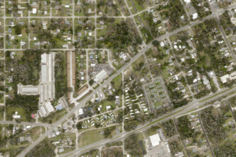 Satellite · reference point
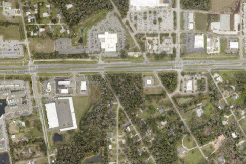 Satellite · reference point
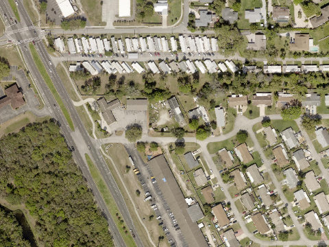 Satellite · reference point
Expand for details4 records · map & project info
Timeline and votes
Decisions & project history
Newest firstEdgewater Development Services · Historical record
Earlier approval extension expires
Record details & sources
The March 2026 report lists the earlier extension as expired January 26, with no building permit. The separately recorded April 3 extension is a later action.
Official city report ↗Edgewater city report · Recorded milestone
Development order extension recorded
Record details & sources
The city report records an extension; it does not supply a new expiration date.
Official city report · page 8Edgewater city report · Recorded milestone
Technical Review Committee approval recorded
Record details & sources
The city report records approval for the 1,580-square-foot office project at 3 Pelican Drive. Individual ballots are not included in the report.
Official city report · page 8Edgewater Development Services · Project update
Commercial Office Pelican Dr.: city report update
Record details & sources
The report lists Technical Review Committee approval and a development-order extension, with no building permit.
Photos and map
Photos & map
Project facts and sources
Project information & sources
- People & companies
City-listed project contact: Tom Williams. Owner, applicant and construction contractor are not identified in the report.
- Approvals & permits
Approval extended April 2026; no building permit listed in September report.
- Size & completion
Project size: City report describes 1,580-square-foot office buildings.
Completion: See the dated approvals and project history.
- Things to know
The city report lists a January 26, 2024 site-plan approval and a later April 2026 development-order extension. Its September 2026 table lists no building permit. Those planning extensions are separate from permission to construct the office buildings or an opening date.
- Sources
Sources checked: Oct 23, 2026
Project contact checked in the city’s July–September 2026 report November 15, 2026. The report names Tom Williams as contact without identifying his ownership or construction role. City report · page 8 ↗
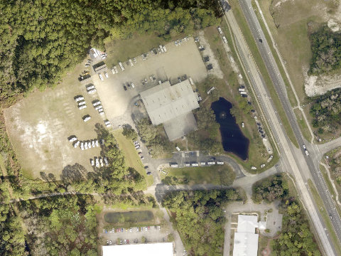 Satellite · reference point
Expand for details5 records · 2 vote records · map & project info
Timeline and votes
Decisions & project history
Newest firstEdgewater city report · Recorded milestone
Development order issued
Record details & sources
The city report records the order for the 55,476-square-foot addition at 4100 South Ridgewood Avenue.
Official city report · page 9Edgewater city report · Recorded milestone
Planning and Zoning Board approval recorded
Record details & sources
The report records board approval; individual ballots are not provided.
Official city report · page 9Edgewater Development Services · Project update
Incertec: city report update
Record details & sources
Planning and Zoning Board approval on March 11 and City Council approval on March 23, 2026 are listed.
Edgewater City Council · Decision
Incertec addition site plan: council approval
Approved 5–0Who voted?
Diezel DePew YESCharlotte Gillis YESMike Thomas YESDebbie Dolbow YESEric Rainbird YESRecord details & sources
Edgewater Planning and Zoning Board · Recommendation
Incertec addition site plan: board recommendation
Recommendation approved 6–0Who voted?
Thomas Duane YESPatrick Fisher YESJames McGinnis YESRobert Andrejkovics YESChris Hatcher YESDwight Cunningham YESRecord details & sources
Photos and map
Photos & map
Project facts and sources
Project information & sources
- People & companies
Construction applicant: RUSH Construction
The SP-2602 staff report lists Incertec Edgewater Building, LLC and RUSH Construction, Inc. together under Owner/Applicant. Original staff report ↗
- Approvals & permits
Council approved the addition; development order issued March 24, 2026.
Approval of a 55,476 Sq. Ft. addition for a new business.. Planning and Zoning Board approval on March 11 and City Council approval on March 23, 2026 are listed.
- Size & completion
Project size: 55,476-square-foot addition at a metal-plating facility on about 9.37 acres.
Completion: See the dated approvals and project history.
- Things to know
The site is parcel 8424-00-00-0021, zoned Heavy Industrial, with a Commercial future-land-use designation. The addition is planned over existing concrete parking formerly used by Factory Direct. Staff says this creates no net additional impervious surface because the pavement was already accounted for. The proposal also adds the required landscape buffer, employee parking, utilities and further stormwater retention. These are the approved plan’s design details, not evidence that the work is complete. SP-2602 staff report ↗
- Sources
Sources checked: Oct 23, 2026
Additional filed parties, parcel, zoning and site-work details checked in the original SP-2602 staff report November 15, 2026.
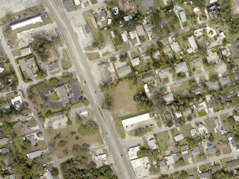 Satellite · reference point
Expand for details4 records · map & project info
Timeline and votes
Decisions & project history
Newest firstEdgewater Development Services · Project update
State Farm Building: city report update
Record details & sources
Technical Review Committee approval on March 3, 2026 and a development order the next day are listed.
Edgewater city report · Recorded milestone
Development order issued
Record details & sources
The city report records a March 4, 2027 expiration.
Official city report · page 9City case record · Record
Insurance-office site-plan request listed · SP-2501
Agenda entry; decision unconfirmedRecord details & sources
City project record · Application history
Insurance-office application submitted · SP-2501
Record details & sources
Staff dates the initial application January 3, 2025, for the insurance-office project at 511 N. Ridgewood Avenue. The later staff report describes 6,479 square feet of office buildings.
Photos and map
Photos & map
Project facts and sources
Project information & sources
- People & companies
Owner: Todd Perry. The staff report describes an insurance-office proposal. Staff report
- Approvals & permits
Review committee approved the plan; development order issued March 2026.
- Size & completion
Project size: Staff report: 6,479 square feet of offices on 1.14 acres. The quarterly report instead lists one 3,500-square-foot building and two future 1,000-square-foot buildings; approved scope remains unreconciled.
Completion: See the dated approvals and project history.
- Things to know
Construct a 3,500 sq. ft. Building and 2 Future 1,000 sq. ft. Buildings Along with Utilities, Storm Drainage and Related Site Improvements. Technical Review Committee approval on March 3, 2026 and a development order the next day are listed.
The staff report describes a 1.14-acre vacant site with Highway Commercial zoning and a Commercial future-land-use designation. It describes 6,479 square feet of office buildings after five revisions. SP-2501 staff report ↗
The staff report describes 6,479 square feet of offices; the September 2026 quarterly report instead lists a 3,500-square-foot building and two future 1,000-square-foot buildings. Those are different published scope figures; the final approved drawing has not been reconciled. Quarterly report ↗
- Sources
Sources checked: Oct 23, 2026
Additional site acreage, zoning and the differing published office-area figures reviewed November 15, 2026.
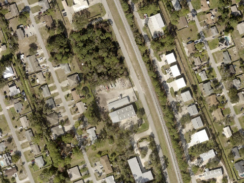 Satellite · reference point
Expand for details5 records · map & project info
Timeline and votes
Decisions & project history
Newest firstEdgewater Technical Review Committee · Scheduled hearing
Warehouse-addition hearing scheduled · SP-2500
Record details & sources
The official agenda scheduled the public site-plan vote for 3 p.m. in Council Chambers, covering two warehouse/storage buildings totaling 10,700 square feet at 2724 Hibiscus Drive. The agenda establishes the scheduled hearing; the later development order is recorded separately.
Official hearing agenda ↗Edgewater city report · Recorded milestone
Development order issued
Record details & sources
The city report records an order for a second building and additional parking at 2724 Hibiscus Drive, expiring February 24, 2027.
Official city report · page 9Edgewater Development Services · Project update
Commercial Warehouse: city report update
Record details & sources
A development order issued February 24, 2026 is listed.
Edgewater city staff
Neighbor notices mailed for warehouse addition
Record details & sources
The city staff report records public notices mailed to addresses within 500 feet of the proposed warehouse addition. The later hearing and development order remain separate milestones.
City staff record · Record
Warehouse addition application submitted · SP-2500
Application submitted; decision unconfirmedRecord details & sources
Photos and map
Photos & map
Project facts and sources
Project information & sources
- People & companies
Applicant named by city staff: Joseph H. Hopkins, P.E. Construction contractor unconfirmed.
- Approvals & permits
Development order issued February 24, 2026.
- Size & completion
Project size: Two warehouse/storage buildings totaling 10,700 square feet, including the proposed second building.
Completion: See the dated approvals and project history.
- Things to know
To Add Second Building and Additional Parking. A development order issued February 24, 2026 is listed.
The 0.82-acre site is parcel 8402-01-06-7890, zoned Neighborhood Business with a Commercial future-land-use designation. Alongside the second warehouse, the proposal replaces gravel parking with concrete and upgrades stormwater and landscaping. Staff reports 22,608.44 square feet of impervious surface. SP-2500 staff report ↗
- Sources
Sources checked: Oct 23, 2026
Applicant, parcel, site improvements and the November 11, 2025 notice checked in the original SP-2500 staff report November 15, 2026. Original staff report ↗
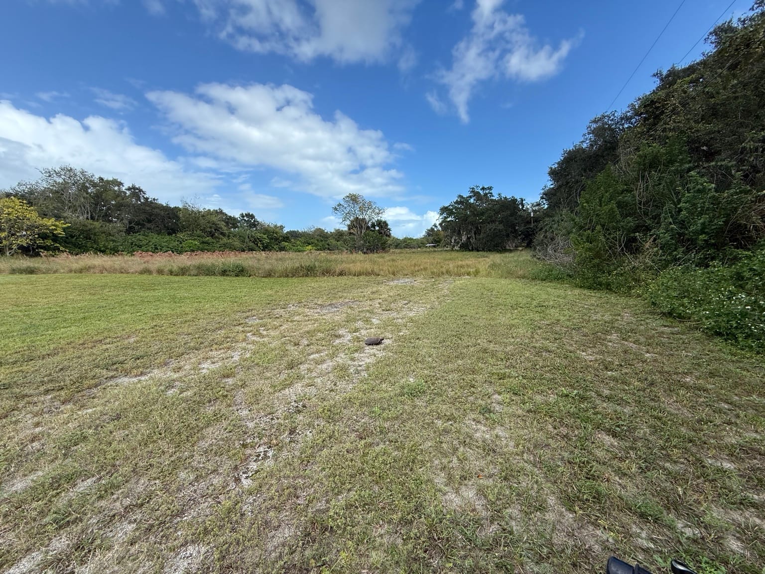 5 photos
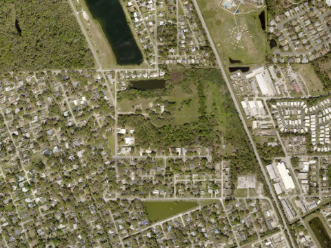 Satellite · reference point
Expand for details20 records · 5 photos · map & project info
Timeline and votes
Decisions & project history
Newest firstEdgewater Development Services · Project update
Mango Tree Apartments: city report update
Record details & sources
The apartment layout was being reviewed.
Official project record
County records environmental permit notice
Record details & sources
The clerk stamp confirms recording February 10, 2026 at 8:42:47 a.m.: instrument 2026023548, Book 8812/Page 2475. This records the state permit notice; it is not a City site-plan approval, construction-start notice or certificate allowing the building to be occupied.
Official project record
Permit notice executed for county recording
Record details & sources
St. Johns River Water Management District executed a recorded notice describing permit 242421-1 and its property obligations. Execution on February 4 is distinct from the later clerk recording stamp.
Official project record
Stormwater permit issued for seven apartment buildings
Record details & sources
St. Johns River Water Management District issued Environmental Resource Permit 242421-1 for a 16.82-acre stormwater project serving 204 apartments in seven buildings, a clubhouse, parking and two interconnected wet detention ponds. Staff found no wetland impacts; the outfall affects 0.002 acre of an upland-cut ditch, with no mitigation required. Construction authorization expires December 22, 2030. The permit requires erosion controls, 48-hour commencement notice, ponds to rough grade before building construction or paving, completion certification and continuing inspections. Other required approvals and wildlife protections still apply.
Official project record
Separate water-quality certification request acknowledged
Record details & sources
A separate Corps-related water-quality notice says the District received a certification request and agreed to act by December 2, 2026. This acknowledgment is not a verified Corps permit or final certification decision.
Official project record
Revised construction plans submitted
Record details & sources
The state file contains revised construction plans and grading-plan correspondence dated December 10. These design revisions preceded the final December 22 plan set and permit.
Official project record
Reviewer accepts proposed impact-plan clarification
Record details & sources
The state reviewer accepted the proposed clarification of the northern outfall impact. Final plan incorporation and permit issuance followed separately.
Official project record
State asks for surface-water impact acreage
Record details & sources
The reviewer found the response incomplete for the stormwater outfall into the northern ditch and requested a revised plan quantifying the surface-water area and impact. No wetlands and no surface-water impacts are different findings.
Official project record
Wildlife agency files no-comment report
Record details & sources
The Florida Fish and Wildlife Conservation Commission November 2025 review spreadsheet lists Mango Tree Apartments, 242421-1, as “No Comment,” submitted with the December 3 correspondence. This is not a gopher-tortoise relocation permit or clearance to disturb protected animals.
Official project record
Engineer submits revised plans and drainage response
Record details & sources
Dowst submitted revised civil plans, stormwater calculations, maintenance documents and the signed City application. The response describes extending an offsite bypass swale to the southwest property corner for neighboring rear-lot drainage. Proposed easement relocation or vacation is described as future City-process work, not completed action.
Official project record
Historic-preservation office finds impacts unlikely
Record details & sources
The State Historic Preservation Office lists Mango Tree Apartments, Florida Division of Historical Resources 2025-7193, as unlikely to affect historic properties. Its letter requests stop-work and notification procedures for unexpected artifacts or human remains; this is agency review, not a City development approval.
Official project record
State requests drainage, easement and maintenance information
Record details & sources
The agency requested proof of right-of-way authority, clarification of easements, drainage paths, protection of neighboring properties from flooding, pond details, tailwater calculations and ongoing maintenance funding. An October 17 email exchange scheduled a November 20 site visit; it does not independently prove the inspection occurred.
Official project record
State circulates application notices
Record details & sources
St. Johns River Water Management District circulated receipt notices for the coastal-zone and surface-water review. Receipt notices invite review; they do not mean a permit was issued.
Official project record
State stormwater application received
Record details & sources
St. Johns River Water Management District received individual Environmental Resource Permit application 242421-1 from Mango Tree of Edgewater LLC. The state application lists several component parcels; the City map lists parcel 8403-00-00-019H. These source identifiers are retained without assuming that the permit footprint equals the entire city-mapped parcel.
Edgewater Development Services · Project update
City lists 204 apartments with layout under review
Record details & sources
The September 2025 report lists 204 apartments and a site layout under review. It establishes an earlier review snapshot, not an approval.
Official project record
City report lists site plan under review
Record details & sources
The June 2025 report lists 204 units under the misspelled name “Mago Tree Apartments,” with the site plan under review. This earlier snapshot does not establish approval.
Edgewater Economic Development Board · Staff agenda briefing
Apartment plan listed for city briefing · SP-2408
Record details & sources
The indexed record for AR-2024-1181 lists Mango Tree Apartments as SP-2408. The indexed staff briefing lists SP-2408. The published meeting minutes contain no Mango-specific approval or recorded ballot. This briefing listing is not site-plan approval.
Volusia County · Public record
County lists land transfer to project owner
Record details & sources
The Property Appraiser lists a multi-parcel warranty-deed sale dated August 26, 2024, instrument 2024168068, Book 8601/Page 2510, for the city-mapped parcel 8403-00-00-019H. The listed $250,000 is a multi-parcel transaction, not an apartment construction cost. The current parcel owner is Mango Tree of Edgewater LLC.
Official project record
City site-plan application signed for 204 apartments
Record details & sources
Engineer Matthew S. Dowst signed the City application describing a 204-unit apartment complex on 26.38 acres. It lists R-4 zoning and Medium Density Residential future land use. This is the signature date, not a verified City receipt or approval date.
Official project record
Environmental assessment identifies gopher tortoises
Record details & sources
Esser Environmental Services reports a preliminary assessment for the apartment proposal at 1413 Mango Tree Drive. Gopher tortoises and burrows were identified; the report calls for a complete burrow survey before development and compliance with Florida Fish and Wildlife Conservation Commission relocation requirements. Its introduction gives July 24, while a later paragraph says August 24; the source contains this date conflict.
Photos and map
Photos & map


Project facts and sources
Project information & sources
- People & companies
City-listed project contact: Matt Dowst, P.E. City project record
- Approvals & permits
City site plan under review; state stormwater permit issued.
- Size & completion
Planned / reported: 204 reported homes
Cleared to live in: Not confirmed.
Homes sold: Not confirmed.
Reported project scope. A complete city list of homes cleared to live in is not confirmed.
Full completion unconfirmed.
- Things to know
204 apartments and a clubhouse are proposed east of Mango Tree Drive, north of Regent Street. The September 2026 city report still shows site-plan review. A separate water-district drainage permit was issued December 22, 2025. Mango Tree of Edgewater LLC is owner/applicant; builder and construction start are unconfirmed.
- Sources
Sources checked: Oct 24, 2026
City approval and votes: no project-specific approval or named ballot verified. State permit issuance and county recording do not establish City approval. Construction commencement, completed tortoise relocation, final water-quality certification and occupancy remain unverified.
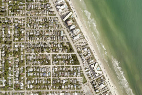 Satellite · reference point
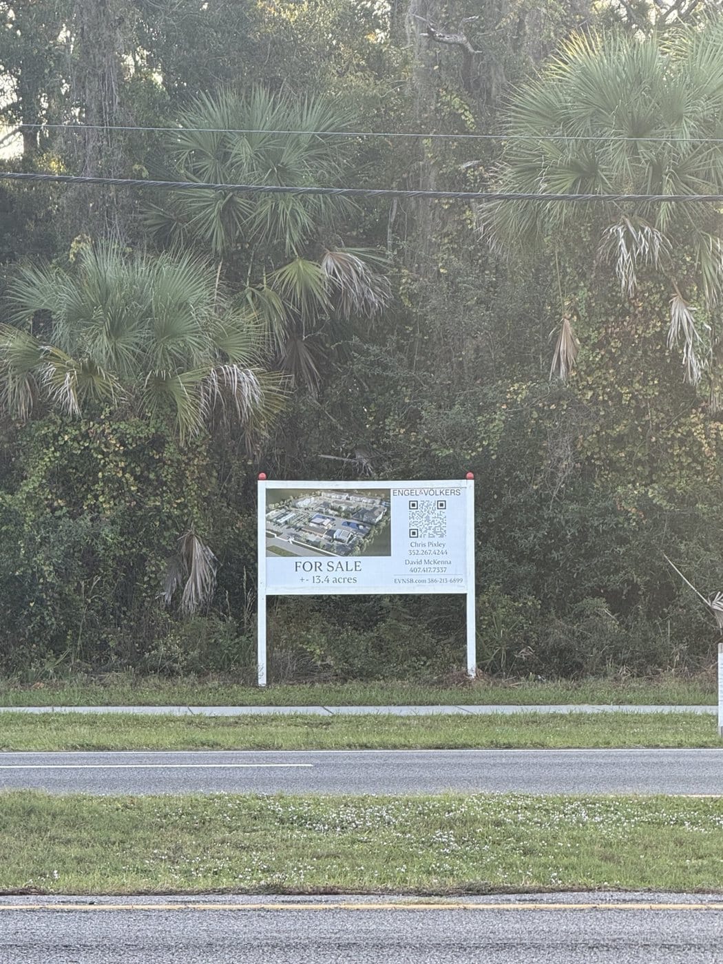 Photo
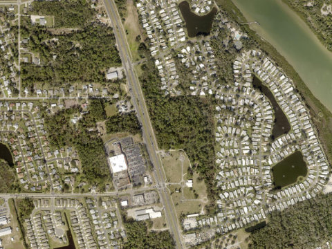 Satellite · reference point
Expand for details23 records · 1 photo · map & project info
Timeline and votes
Decisions & project history
Newest firstEdgewater Development Services · Project update
2901 S Ridgewood Avenue: city report update
Record details & sources
The report records a Technical Review Committee vote on July 1, 2025 and a development order issued August 12, 2025.
Broker listing · Dated marketing record
Broker advertises the residential phase and whole-site options
Record details & sources
The current retained listing gives April 8, 2026 as Date on Market. At the November 10 source check it advertises $3.24 million for the residential phase and $5.1 million for the entire offering. The listing text gives 9.32 acres for the residential phase, while the brochure text says 9.3 and its annotated drawing says 9.03; commercial is shown as 4.52 acres and the entire offering as 13.55. These are attributed marketing figures and asking prices, not verified closings, construction costs or reconciled surveyed boundaries. Its “fully approved and permitted” language is not treated as proof of city building permits. Retained broker listing · Date on Market and current offering ↗ · Broker brochure · source-specific phase areas ↗
St. Johns River Water Management District · Issued ERP
District issues the 11.37-acre stormwater-system permit
Record details & sources
ERP 147301-3 authorizes construction and operation of the stormwater system for an 11.37-acre mixed-use project using December 19 plans and calculations. It expires January 8, 2031. The technical report identifies 13.48 acres owned and authorizes 0.553 acres of impacts to three small isolated wetlands, determining no compensatory mitigation was required under its stated criteria. Conditions include rough-grading retention/detention before building or impervious work, completion/as-built reporting and later system testing and maintenance. Permit issuance does not establish building permits, construction start, occupancy or satisfaction of wildlife and other-agency requirements. Original district file · 8732096 ↗ · Original 2026 technical staff report · scope, impacts and conditions ↗
Newkirk Engineering · Revised response and plans
Revised recovery calculations and outfall details submitted
Record details & sources
The original December 19 response addresses wet-pond recovery and stormwater harvesting, revises Structure D-23’s grate elevation and adds its detail to the plans. The later permit expressly identifies December 19 plans and calculations as the approved design basis. The revised submission is distinct from the January permit issuance. Original district file · 8714835 ↗
Applicant consultants · District-filed response package
Consultants file stormwater and environmental responses
Record details & sources
The district file dated October 29 includes Newkirk’s October 29 engineering response and Biological Consulting Services’ letter dated September 29. Engineering lists applications for FDOT access 2025-A-591-00046 and drainage 2025-D-591-00048; it does not establish those permits were issued. It revises runoff modeling and drainage details. The environmental letter refers to the wetland-impact plan and the earlier tortoise-burrow survey. Document authorship dates are kept separate from the package’s district-file date. Original district file · 8667606 ↗ · Original environmental response · dated September 29, filed in October package ↗
St. Johns River Water Management District · Information request
District seeks drainage, wetland and road-permission revisions
Record details & sources
The original RAI requests corrected signed plans, evidence of authority for proposed U.S. 1 turn-lane work, roadway-runoff treatment, revised stormwater calculations and wetland-impact boundaries. It calls for Outstanding Florida Water treatment requirements and clarification of a small wetland missing from the plans. FWC comments are attached; historical-resource review is also noted. This was an information request, not a denial or construction authorization. Original district file · 8620415 ↗
Florida Fish and Wildlife Conservation Commission · Filed response
FWC supplies wildlife technical assistance
Record details & sources
The original FWC response says it has no other comments beyond its general wildlife assistance. It identifies surveys as the reliable way to determine listed-species presence and keeps responsibility for avoiding protected-species take with the applicant. This response is not a relocation permit, proof that no protected wildlife is present, or proof that later survey obligations were fulfilled. Original district file · 8605272 ↗
St. Johns River Water Management District · ERP application received
Mixed-use stormwater application received
Record details & sources
The public case records receipt of application 147301-3 on August 12 for Live Local Mixed Use Multifamily and Commercial at 2901 South Ridgewood Avenue, with TRB Edgewater LLC as owner/applicant. This is the environmental stormwater application, separate from the same-day city development order already recorded in this card. Earlier sequences established wetland boundaries rather than construction authorization. Live public district case · 147301-3 ↗
Edgewater city report · Recorded milestone
Development order issued
Record details & sources
The September 2026 city report records the development order for the 162-unit mixed-use project.
Official city report · page 6Edgewater city report · Recorded milestone
Technical Review Committee public vote recorded
Record details & sources
The city report records a public vote on this date. The report does not provide the vote count or individual ballots.
Official city report · page 6Biological Consulting Services · Earlier survey reported in response
Consultant reports two tortoise burrows in an earlier survey
Record details & sources
The consultant’s original September 29, 2025 response reports two gopher-tortoise burrows observed during a May 13, 2024 protected-species transect survey. It says a full burrow survey is needed and, if burrows remain, appropriate relocation permission and relocation are needed before disturbance. This is a dated consultant account; later survey results, relocation permits and completion of relocation have not been independently verified. No precise burrow locations are supplied here. Original district file · 8667607 ↗
St. Johns River Water Management District · Renewal issued
District issues the first renewal of the wetland determination
Record details & sources
The district renews formal wetland determination 147301-2 using the certified survey stamped approved March 23, 2022. The technical report identifies this as the first renewal of the 2016 determination for 9.3 acres; the public record lists expiration April 25, 2027. It expressly states that the determination does not authorize construction. Original district file · 7523227 ↗ · Original 2022 renewal technical report ↗
Carter Environmental Services · Renewal response
Updated survey submitted with renewal response
Record details & sources
The original response supplies a revised certified survey, wetland boundaries depicted with aerial imagery and the property legal description. It distinguishes the performed January 27 field review from the previously scheduled January 6 visit. Submission is not itself the renewal approval. Original district file · 7465239 ↗
Consultant response and district report · Completed field review
Renewal field review occurs after rescheduling
Record details & sources
Carter Environmental Services’ February 14 response says the field visit was rescheduled and conducted January 27, when district staff and the consultant agreed the previously identified wetland lines had not changed. The April district report independently recites January 27 review. This documents the earlier wetland-boundary process, not a current construction inspection. Original district file · 7465239 ↗ · Original 2022 district technical report ↗
St. Johns River Water Management District · Information request
District seeks updated survey and unchanged-boundary evidence
Record details & sources
The renewal review requires a revised certified survey, boundaries on aerial imagery and a legal description. A field review was initially scheduled for January 6, 2022; that scheduled date is kept distinct from the subsequently reported January 27 visit. The letter explicitly says a formal wetland determination does not authorize construction. Original district file · 7404312 ↗
St. Johns River Water Management District · Renewal petition
Wetland-determination renewal petition received
Record details & sources
The November 19 original letter records receipt October 26 of petition 147301-2 to renew the 2016 determination. The renewal concerns the same 9.3-acre boundary area, not a new construction approval. The later public case lists this sequence as modified by the stormwater-permit sequence. Original district file · 7404312 ↗
St. Johns River Water Management District · Formal determination
District issues the earlier wetland-boundary determination
Record details & sources
Formal wetland determination 147301-1 establishes the approved boundary extent on the certified survey for the 9.3-acre area. The public record lists issuance November 3, 2016 and an original November 3, 2021 expiration. This determination is not permission to construct the later mixed-use development. Original district file · 6415844 ↗ · Original 2016 technical staff report ↗
District technical report · Approved survey date
Revised wetland survey receives the reported district stamp
Record details & sources
The November technical report identifies the certified single-sheet survey stamped approved October 24. Its scope is the landward extent of wetlands and surface waters in the 9.3-acre determination area between Edgewater Landing and Sea Pines Cemetery. This survey action is distinct from the later formal determination and from the larger stormwater project. Original district file · 6415838 ↗
St. Johns River Water Management District · Information request
District requests corrected, certified wetland survey
Record details & sources
The district requests a surveyor-certified survey, reproducible wetland-line geometry and a property legal description. Its letter notes unclear line segments near the northern boundary and the missing electronic surveyor signature. Filing or approval of this formal wetland determination does not authorize construction. Original district file · 6398225 ↗
St. Johns River Water Management District · Petition received
Formal wetland-determination petition received
Record details & sources
The original district letter records receipt of petition 147301-1 on August 30 for the 9.3-acre TRB Edgewater area. Tom Cooke and TRB Edgewater LLC are identified, with Faulkner & Associates and Carter Environmental Services involved in the boundary work. The petition seeks determination of wetland boundaries, not authorization to build or fill wetlands. Original district file · 6398225 ↗
District staff · Earlier field review recited in original letter
Earlier wetland-boundary field review documented
Record details & sources
The September 26 district letter states that field review and approval of flagged wetland and surface-water boundaries occurred June 7 for the 9.3-acre TRB Edgewater determination area. This is an earlier boundary-review action recited in the original letter, not a construction permit or evidence that the present 162-unit proposal began in 2016. Original district file · 6398225 ↗
Volusia County Clerk · Recorded original
Quitclaim to TRB recorded under the current parcel number
Record details & sources
The quitclaim recorded February 15, 2006 at book 5767/page 2698 names Edgewater Partners I, LLC, Lighthouse Development Group, Inc. and Worldwise, Inc. as first parties and TRB Edgewater, L.L.C. as second party. Its header identifies parcel 841201000060 and carries a $116,600 transfer stamp; the county indexes January 31. It is a separate instrument from the February 13 warranty deed. Their amounts are not added together as a verified whole-site purchase price or development cost. Clerk instrument 2006038637 · public online copy ↗ · Current parcel and separately attributed county index ↗
Volusia County Clerk · Recorded original
Earlier TRB warranty deed recorded for county-linked land
Record details & sources
The warranty deed recorded February 13, 2006 at book 5766/page 686 names Robert Baldanza, George Sidor, James Barocas and Stewart Liebelt as grantors and TRB Edgewater, LLC as grantee, with a $1,749,500 transfer stamp. Its header identifies parcel 841201000070, while the current parcel 841201000060 index links this record. The exact historical parcel consolidation and legal-description relationship have not been reconciled. The stamp is not assigned as the price or construction budget of the entire current project. The county separately indexes January 31 as the sale date. Clerk instrument 2006036559 · public online copy ↗ · Current parcel and separately attributed county index ↗
Photos and map
Photos & map

Project facts and sources
Project information & sources
- People & companies
County and district owner/applicant: TRB Edgewater LLC · Permit contact: Tom Cooke · Engineer: Harry H. Newkirk / Newkirk Engineering · Environmental consultant: Biological Consulting Services · Construction contractor unconfirmed Original district permit and project roles ↗
The county lists TRB Edgewater LLC for parcel 841201000060, alternate key 3971477. The 2006 quitclaim names that company as grantee under the same parcel number. A separately linked 2006 warranty deed references parcel 841201000070; the exact historical consolidation is unresolved. Earlier county-index entries from 1980 through 2005 exist, but their original instruments and a complete first-acquisition-through-current title chain remain unreviewed. Current parcel and separately attributed county index ↗ · Clerk instrument 2006036559 · public online copy ↗ · Clerk instrument 2006038637 · public online copy ↗
The filed plan cover identifies Universal Engineering Sciences / Brian Pohl, P.E., as geotechnical consultant. This design-team role does not identify an awarded general contractor. Filed plan cover ↗
- Approvals & permits
The city reports its development order issued August 12, 2025. District ERP 147301-3 was issued January 8, 2026 for the stormwater system. Issued city building permits, current construction and occupancy remain unverified. Issued ERP147301-3 · original conditions ↗
ERP 147301-3 is issued and expires January 8, 2031; the earlier formal wetland determinations did not authorize construction. The ERP requires commencement notice, completion/as-built documentation, maintenance and later permeability testing. The public case’s administrative Compliance label is not a construction-completion certificate. Current issued city building permits and occupancy records are unverified. Issued ERP147301-3 · original conditions ↗
- Size & completion
The city reports 162 Live Local mixed-use multifamily units. The 2026 district report distinguishes 13.48 acres owned from an 11.37-acre stormwater project; the earlier wetland determination covered 9.3 acres. County land data lists 587,369 square feet. Broker materials use 13.55 acres overall, 4.52 commercial and differing 9.03/9.3/9.32 residential figures. These scopes and source measures are not silently treated as one surveyed boundary or a housing completion count. Original 2026 district report · scope and impacts ↗
- Things to know
Photo received October 31, 2026 shows wooded frontage and a sale sign advertising approximately 13.4 acres. The sign’s rendering is marketing material; construction start is not established by this photo. Capture date unavailable.
162 reported homes. The report records a Technical Review Committee vote on July 1, 2025 and a development order issued August 12, 2025.
The January district report describes 0.553 acres of proposed impacts across three small isolated wetlands and concludes compensatory mitigation is not required under the criteria it applies. A separate consultant letter reports two gopher-tortoise burrows observed in May 2024 and calls for a full survey and relocation permission if needed before disturbance. The ERP does not authorize protected-species take. Actual later relocation permission and completion remain unverified; the wetland and wildlife findings are distinct. Original district technical report ↗ · Consultant species letter · later-filed survey account ↗
The November 10 listing check still advertises the offering, with Last Updated November 9. That is a marketing update date, not a city decision, land closing or start of work. A separate commercial listing is no longer advertised at the same check; its removal date and reason are unknown. Asking prices and broker approval claims remain attributed to the listing. Broker listing · attributed marketing dates and scope ↗
The December 2025 drawing set places the 162 homes in five three-story buildings: three buildings with 30 homes each and two with 36. The residential layout includes a pool, outdoor grill and dining area, dog park, playground, and leasing office with restrooms. These are planned facilities, not completed-work or occupancy findings. Overall development plan · C-18 ↗ · Residential layout · C-20 ↗
The commercial layout shows a car wash, a 2,594-square-foot drive-through restaurant, a 4,997-square-foot convenience/gas building with 16 pumps, and a 4,121-square-foot restaurant. The car wash is labeled 4,186 square feet on the cover and 4,168 on the overall plan; that sheet difference remains unresolved. No named tenants or openings are established by these engineering drawings. Cover project statement ↗ · Commercial layout ↗
- What happens next
The earlier wetland determinations established boundaries rather than building permission. Issued ERP147301-3 · original conditions ↗
- Sources
Sources checked: Oct 23, 2026
Additional original records checked November 10, 2026. Recorded and indexed dates, multi-parcel amounts, corrective instruments, earlier zoning and variance conditions, later site-plan reviews and formal construction/occupancy permissions remain separate. Full lifecycle completion remains unconfirmed.
Additional residential-building, amenity, commercial-layout and geotechnical-consultant details reviewed November 15, 2026 in the district-filed December 19, 2025 drawing set. Earlier application/permit dates, source-specific site areas, counts, status qualifications and history remain unchanged. The drawings do not establish city building-permit issuance, construction completion or occupancy.
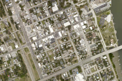 Satellite · reference point
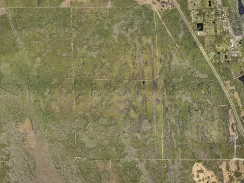 Satellite · application area
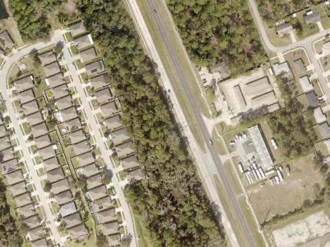 Satellite · reference point
Expand for details6 records · map & project info
Timeline and votes
Decisions & project history
Newest firstFlorida Division of Corporations
Business filing changes principal address to 3710 South Ridgewood
Record details & sources
An amended annual report changes Blue Line Automotive, LLC’s principal address to the development site at 3710 South Ridgewood Avenue. This corporate-address filing is separate from the city’s June 22 occupancy certificate and does not establish the first day of business.
Original public record
City lists commercial occupancy certificate
Record details & sources
The city’s certificate table lists 3710 South Ridgewood Avenue under permit 25-2819 with a June 22, 2026 occupancy date. The exact address and permit match Blue Line Automotive’s project record. This establishes the listed certificate, not a verified business opening date.
Edgewater City Council · Mayor’s report
Mayor recognizes Blue Line Automotive groundbreaking
Record details & sources
The February 2 council minutes record the mayor congratulating Blue Line Automotive for breaking ground. This is a dated council statement; it does not establish the exact groundbreaking day or a separate permit.
Edgewater Development Services · Historical record
Automotive site plan under review
Record details & sources
The June 2025 report lists the automotive repair proposal on South Ridgewood Avenue as under site-plan review. Later reports record the development order and building permit separately.
Official city report ↗Edgewater city report · Recorded milestone
Development order issued
Record details & sources
The city report records an October 21, 2026 expiration and building permit 25-2819. No later extension has been verified.
Official city report · page 8Edgewater Development Services · Project update
Blue Line Automotive: city report update
Record details & sources
A development order and building permit 25-2819 are listed. The newer report gives 3710 S. Ridgewood Avenue; the older report gave a different address.
Photos and map
Photos & map
Project facts and sources
Project information & sources
- People & companies
Business: Blue Line Automotive, LLC. Florida corporate records list Thomas E. Daniel, Elizabeth J. Daniel and Nikunj Patel as authorized members. Construction contractor unconfirmed.
- Approvals & permits
The city’s April–June 2026 certificate list records an occupancy certificate June 22, 2026 for 3710 South Ridgewood Avenue, permit 25-2819. A business opening date is unconfirmed. The older development-order expiration entry is historical and does not erase the later-listed certificate.
- Size & completion
Project size: See the scope in What’s planned.
Completion: See the dated approvals and project history.
- Things to know
The city occupancy table lists 3710 South Ridgewood Avenue under permit 25-2819 on June 22, 2026. Earlier report addresses and development-order dates remain historical context; they do not erase that later address-matched occupancy record. The business’s first opening date is unconfirmed.
- What happens next
A later development-order extension has not been verified.
- Sources
Sources checked: Oct 23, 2026
Original city applications and submission histories checked November 5, 2026. Case statuses and review dates are distinct from building permits and completed construction.
Florida corporate address and member information checked November 15, 2026; these corporate filings are separate from building permits and opening dates. The February 2, 2026 council minutes also supply the mayor’s groundbreaking statement. Florida corporate record ↗ · Council minutes ↗
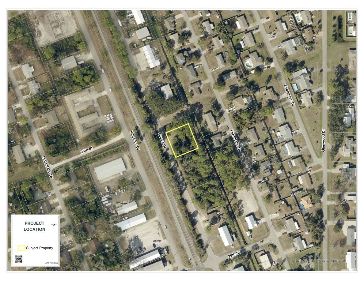 Satellite · city outline
Expand for details6 records · 1 vote record · map & project info
Timeline and votes
Decisions & project history
Newest firstEdgewater Development Services · Project update
Agledor Storage: city report update
Record details & sources
A development order and building permit 25-1248 are listed.
Edgewater city report · Approval extension
Development order extended
Record details & sources
The September 2025 report records an extension for the storage project at 2507 Guava Drive. It does not state a new expiration date.
Official source ↗Edgewater Development Services · Historical report
Storage building under construction
Record details & sources
The April 1 report lists the 2,280-square-foot Agledor building at 2507 Guava Drive under construction.
Edgewater city report · Recorded milestone
Development order issued
Record details & sources
The city report records the development order for the storage facility at 2507 Guava Drive.
Official city report · page 8Edgewater Planning and Zoning Board · Decision
Storage-site variance approved · VA-2225
Motion approved 5–0Individual votes
Albert Amalfitano YESRobert Andrejkovics YESThomas Duane ABSENTGeorge Kennedy YESPaul Wright YESChris Hatcher YESEric Rainbird EXCUSEDRecord details & sources
Edgewater Development Services · Historical report
Storage plan in earlier staff review
Record details & sources
The city lists the 2,280-square-foot Agledor proposal at 2507 Guava Drive under review.
Photos and map
Photos & map

Project facts and sources
Project information & sources
- People & companies
The original VA-2225 staff report names Bob Agildor as owner and variance applicant. This is the source-listed role for the 2022 case; a construction contractor is not identified. Original variance staff report ↗
- Approvals & permits
Building permit 25-1248 issued, per September 2026 report.
- Size & completion
Project size: 2,280-square-foot storage building, as described in the city reports.
Completion: See the dated approvals and project history.
- Things to know
The 2022 variance case identifies Bob Agildor and parcel 8402-01-06-6970. The outlined aerial identifies the storage project’s subject site.
2280 square feet Storage Facility. A development order and building permit 25-1248 are listed.
The 2022 staff report describes a 2,280-square-foot warehouse/storage building on land zoned Neighborhood Business with a Commercial future-land-use designation. VA-2225 requested a 20-foot rear building setback in place of the usual 50 feet. Staff describes a 15-foot platted alley and a 25-foot city canal behind the lot, providing a total 60-foot separation to the rear residential property. Access is from Guava Drive, with city water and sewer available. VA-2225 staff report ↗
- Sources
Sources checked: Oct 23, 2026
Historical city reports checked November 5, 2026. Report snapshots describe their stated dates, not current status. The October–December report repeats September tables; only its dated quarter narrative is used for the drainage update.
Earlier city-report history checked November 5, 2026. Report snapshots retain their stated dates and earlier phase counts; they do not establish current permits, occupancy or complete project history.
Additional owner, setback, access and utility details checked in the original VA-2225 staff report November 15, 2026.
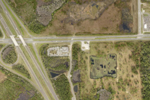 Satellite · reference point
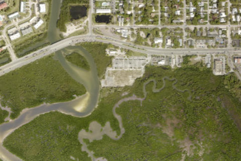 Satellite · reference point
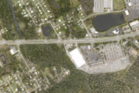 Satellite · reference point
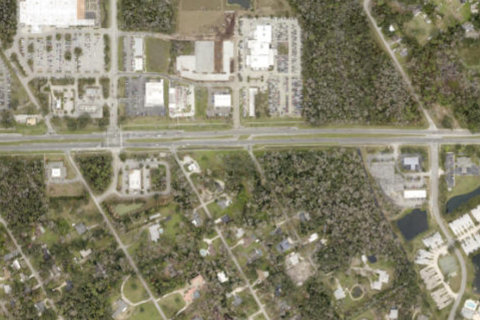 Satellite · reference point
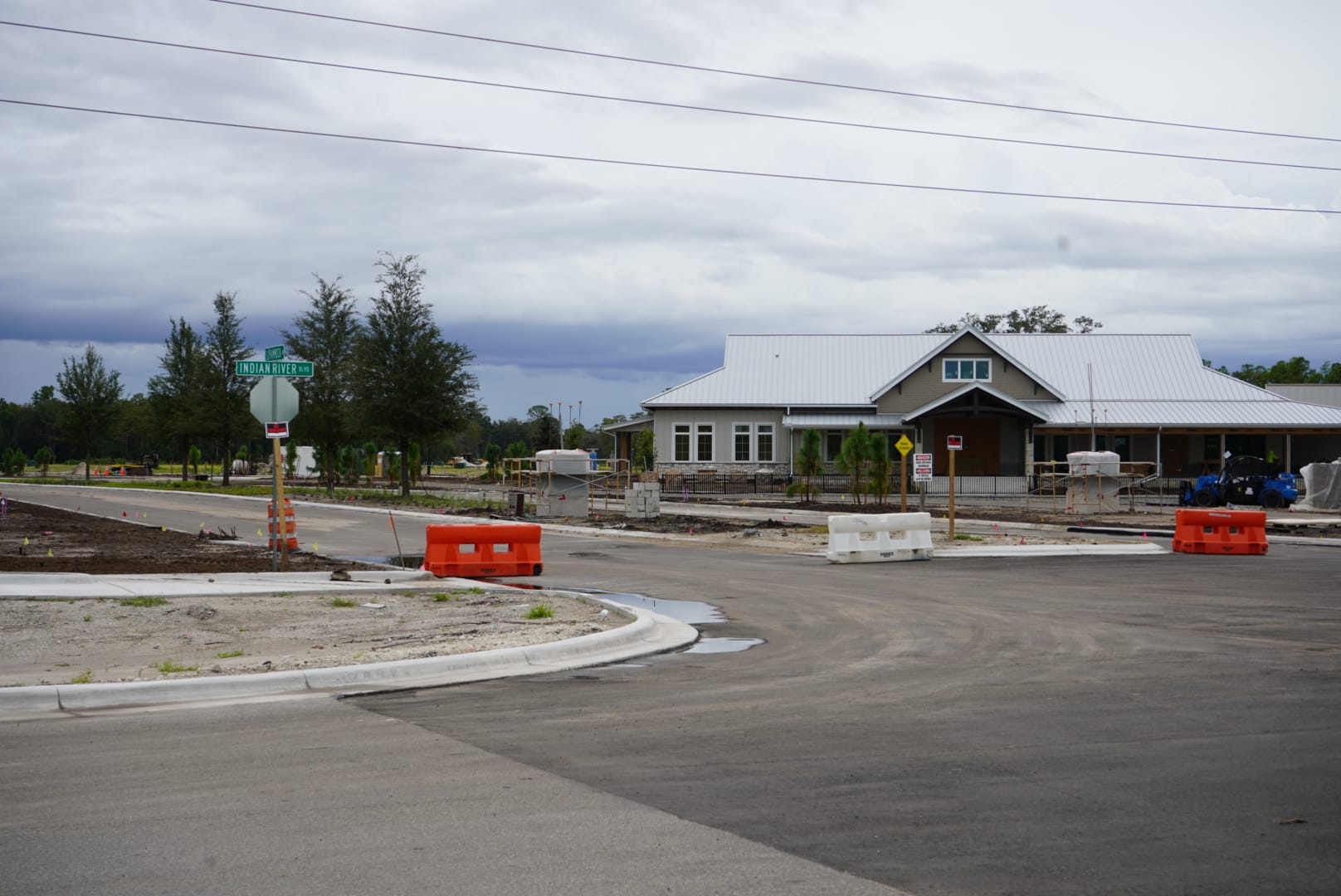 Photo
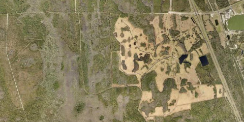 Satellite · reference point
Expand for details49 records · 24 vote records · 1 photo · map & project info
Timeline and votes
Decisions & project history
Newest firstSt. Johns River Water Management District · Application received
District receives a 335-home Phase 2 application
Record details & sources
The application describes 335 proposed single-family homes within the larger Deering Park Center development. The district lists application 193985-12 as pending at the November 12 check. These homes are a phase within the parent plan.
St. Johns River Water Management District · Application received
Phase 1A pond-liner change submitted
Record details & sources
The applicant asks to remove proposed pond liners from the Phase 1A plans under an earlier district application. The district lists modification 193985-13 as pending at the November 12 check.
St. Johns River Water Management District
District requests more details for Oak Hammock amenity center
Record details & sources
The district asked for the application fee and clearer drainage plans and wetland buffer signs for the proposed Oak Hammock amenity center. This is application 193985-11. It remains pending at the November 3 check.
St. Johns River Water Management District · Applicant response
Phase 1B review continues; phase area clarified
Record details & sources
The developer clarified that Phase 1B covers 89.44 acres and answered questions about drainage and future maintenance. This water-management application remains pending. The response does not establish approval, construction or an opening date.
October 28 applicant response ↗ · Live case 193985-10 ↗
District status checked November 2, 2026. This phase remains within the parent project; no homes are added to its total.
St. Johns River Water Management District · Filed record
Oak Hammock amenity-center modification filed
Record details & sources
The application proposes a 4.34-acre amenity center within the previously issued environmental permit for Deering Park Center. The district still lists this modification as pending; the wider permit acreage does not describe the amenity footprint and no additional housing count is inferred.
Original public record
1 additional occupancy certificate listed
Record details & sources
The city’s July–September 2026 table lists 130 LILY HAMMOCK RD. — 8/25/2026, permit 25-1776, parcel 8407-00-00-0016. The table labels this Deering Park; the Lily Hammock address is within the Center project area. The table does not name the specific amenity or building use. These individual certificates do not establish whole-project completion.
St. Johns River Water Management District · Administrative hearing requested
Hearing petition challenges conceptual stormwater decision
Record details & sources
A nearby ranch operator sent the district clerk a petition requesting an administrative hearing and raising concerns about runoff and flooding along Little Cow Creek. The district portal still listed 193985-5 as pending on November 8. The case file did not show a final ruling on the petition.
St. Johns River Water Management District · Conceptual decision
District issues conceptual stormwater decision
Record details & sources
The district issued a conceptual stormwater approval for the 1,167.07-acre project area shown in plans it received February 6. Construction and on-site mitigation require separate review. A later petition challenged this decision.
City project record · Application history
Center single-family and townhome plans submitted
Record details & sources
Staff dates the initial submissions for Single-family Phase 1 and Townhome Phase 1 July 23, 2024. The plans describe 250 single-family homes and 258 townhomes, respectively.
City project record · Application history
Active Adult Phase 1a lot-layout application submitted
Record details & sources
Staff dates the initial preliminary lot-layout submission November 16, 2023, for 273 active-adult single-family homes in Center Phase 1a.
City project record · Application history
Active Adult Phase 1b lot-layout application submitted
Record details & sources
Staff dates the initial preliminary lot-layout submission June 4, 2024, for 115 active-adult single-family homes in Center Phase 1b.
City Council · First review of the proposed law
Community district advances at first review of the proposed law
Passed 4–0 · 1 abstentionWho voted?
Michael Thomas ABSTAINChristine Power YESGigi Bennington YESMike Ignasiak YESGene Emter YESRecord details & sources
City Council · Decision
Community district established
Passed 4–0 · 1 abstentionWho voted?
Michael Thomas ABSTAINChristine Power YESGigi Bennington YESMike Ignasiak YESGene Emter YESRecord details & sources
Planning and Zoning Board · Recommendation
Board recommends an earlier land-use change
Recommendation passed 5–0Who voted?
Agnes Witter YESJoseph Roy YESGeorge Kennedy YESRobert McIntosh ABSENTJean Kayat YESPat Card ABSENTEd Vopelak YESRecord details & sources
Conservation / land useCity Council · Postponed
Earlier land-use proposal postponed
Continued to November 10, 2014Record details & sources
Planning and Zoning Board · Recommendation
Board recommends the 2015 land-use change
Recommendation passed 5–0Who voted?
Joseph Roy YESGeorge Kennedy YESRobert McIntosh YESPat Card EXCUSEDRobert Andrejkovics EXCUSEDDavid Tyree YESPaul Wright YESRecord details & sources
City Council · First review of the proposed law
Land-use change advances at first review of the proposed law
Passed 4–0Who voted?
Mike Ignasiak YESChristine Power YESGigi Bennington EXCUSEDDan Blazi YESGary T. Conroy YESRecord details & sources
City Council · Decision
land-use change approved
Passed 5–0.Who voted?
Mike Ignasiak YESChristine Power YESGigi Bennington YESDan Blazi YESGary T. Conroy YESRecord details & sources
Conservation / land usePlanning and Zoning Board · Recommendation
Board recommends a further land-use change
Recommendation passed 7–0Who voted?
George Kennedy YESRobert McIntosh YESPat Card YESRobert Andrejkovics YESDavid Tyree YESPaul Wright YESMichael Eichhorn YESRecord details & sources
Conservation / land useCity Council · Decision
advance further land-use change
Passed 5–0.Who voted?
Mike Ignasiak YESChristine Power YESGigi Bennington YESDan Blazi YESGary T. Conroy YESRecord details & sources
Conservation / land useCity Council · Decision
adopt further land-use change
Passed 5–0.Who voted?
Mike Ignasiak YESChristine Power YESGigi Bennington YESDan Blazi YESGary T. Conroy YESRecord details & sources
Conservation / land usePlanning and Zoning Board · Recommendation
Board recommends the revised development agreement
Recommendation passed 5–0Who voted?
George Kennedy YESRobert Andrejkovics YESChris Hatcher YESPaul Wright YESThomas Duane EXCUSEDBurton Maroney YESRecord details & sources
City Council · Decision
development agreement updated
Passed 5–0.Who voted?
Mike Thomas YESChristine Power YESKimberly Yaney YESMegan O'Keefe YESGary T. Conroy YESRecord details & sources
Recorded agreement · Document
Revised development agreement recorded
Record details & sources
City Council · First review of the proposed law
Replacing the old community district advances
Passed 5–0Who voted?
Mike Thomas YESChristine Power YESGigi Bennington YESMegan O'Keefe YESJonah Powers YESRecord details & sources
City Council - Special Meeting · Decision
Old community district dissolved
Passed 5–0Who voted?
Mike Thomas YESMegan O'Keefe YESJonah Powers YESChristine Power YESGigi Bennington YESRecord details & sources
City Council · Decision
age-restricted housing changes approved
Passed 5–0.Who voted?
Diezel DePew YESCharlotte Gillis YESGigi Bennington YESDebbie Dolbow YESJonah Powers YESRecord details & sources
Project record · Record
State Road 442 improvement order
Record details & sources
Project record · Record
Lily Hammock road order
Record details & sources
Planning and Zoning Board · Recommendation
Board recommends Single-family Phase 1 plans
Recommendation passed 3–2Who voted?
Thomas Duane YESAlbert Amalfitano ABSENTPatrick Fisher NOJames McGinnis NOGeorge Kennedy ABSENTChris Hatcher YESRobert Andrejkovics YESRecord details & sources
City Council · Decision
Traffic-cost agreement approved
Passed 4–1Who voted?
Diezel DePew YESMike Thomas YESDebbie Dolbow YESEric Rainbird YESCharlotte Gillis NORecord details & sources
City Council · Decision
Wastewater agreement approved
Passed 3–2Who voted?
Mike Thomas YESDebbie Dolbow YESEric Rainbird YESDiezel DePew NOCharlotte Gillis NORecord details & sources
Planning and Zoning Board · Recommendation
Board recommends Townhome Phase 1 plans
Recommendation passed 4–2Who voted?
Thomas Duane YESPatrick Fisher NOJames McGinnis NOGeorge Kennedy YESRobert Andrejkovics YESChris Hatcher YESRecord details & sources
Planning and Zoning Board · Recommendation
Board recommends Active Adult Phase 1a plans
Recommendation passed 4–2Who voted?
Thomas Duane YESPatrick Fisher NOJames McGinnis NOGeorge Kennedy YESRobert Andrejkovics YESChris Hatcher YESRecord details & sources
Planning and Zoning Board · Recommendation
Board recommends Active Adult Phase 1b plans
Recommendation passed 5–1Who voted?
Thomas Duane YESPatrick Fisher NOJames McGinnis YESGeorge Kennedy YESRobert Andrejkovics YESChris Hatcher YESRecord details & sources
City Council · Decision
Active Adult 1 a plans approved
Passed 4–1Who voted?
Diezel DePew YESCharlotte Gillis NOMike Thomas YESDebbie Dolbow YESEric Rainbird YESRecord details & sources
City Council · Decision
Active Adult 1 b plans approved
Passed 5–0Who voted?
Diezel DePew YESCharlotte Gillis YESMike Thomas YESDebbie Dolbow YESEric Rainbird YESRecord details & sources
City Council · Decision
Townhome Phase 1 plans approved
Passed 4–1Who voted?
Diezel DePew YESCharlotte Gillis NOMike Thomas YESDebbie Dolbow YESEric Rainbird YESRecord details & sources
City Council · Decision
Single-family Phase 1 plans approved
Passed 4–1Who voted?
Diezel DePew YESCharlotte Gillis NOMike Thomas YESDebbie Dolbow YESEric Rainbird YESRecord details & sources
Edgewater Development Services · Project update
Deering Park Phase 1A: city report update
Record details & sources
286 reported homes. The early lot layout was approved. Phase counts are within the parent plan and are not added again to its housing total.
Edgewater Development Services · Project update
Deering Park Phase 1B: city report update
Record details & sources
106 reported homes. The early lot layout was approved. Phase counts are within the parent plan and are not added again to its housing total.
Edgewater Development Services · Project update
Deering Park Townhomes: city report update
Record details & sources
238 reported homes. The early lot layout was approved. Phase counts are within the parent plan and are not added again to its housing total.
Edgewater Development Services · Project update
Deering Park Single Family: city report update
Record details & sources
256 reported homes. The early lot layout was approved. Phase counts are within the parent plan and are not added again to its housing total.
Edgewater Development Services · Project update
Deering Park Welcome Center: city report update
Record details & sources
Technical Review Committee approval and building permit 25-669 are listed.
Edgewater Development Services · Project update
Deering Park- Lily Hammock: city report update
Record details & sources
The road development order was issued April 8, 2025.
Edgewater Development Services · Project update
Deering Park – 442 Improvements: city report update
Record details & sources
A development order is listed for these road improvements. Its printed expiry date does not establish whether a later extension was issued.
Edgewater Development Services · Project update
Deering Park Oak Hammock Amenity: city report update
Record details & sources
A development order is listed for the Center amenity building.
Edgewater Development Services · Project update
Deering Park Center Master Stormwater: city report update
Record details & sources
The city reported construction underway on the stormwater system.
City planning records · Historical report
Earlier Deering Park agreement amendment reported
Record details & sources
The city’s later reports date an earlier Deering Park agreement amendment to June 3, 2013 and list 1,362 homes. This is the Center history, separate from the larger Restoration/North plan.
Photos and map
Photos & map

Project facts and sources
Project information & sources
- Approvals & permits
Construction seen Oct 22, 2026.
Phase 1B: the water-management application remains pending at the November 2, 2026 check. The developer clarified its area as 89.44 acres in an October 28 response.
- Size & completion
Planned / reported: 1,362 homes
Cleared to live in: Not confirmed.
Homes sold: Not confirmed.
Up to 1,362 homes across the whole project. Homes in each phase are already included. A complete city list of homes cleared to live in is not confirmed.
Full completion unconfirmed.
- Things to know
Recreation center proposed · checked October 30. Farmton Deering Park applied October 19 for a 4.34-acre Oak Hammock recreation center within Deering Park Center. Water-district approval is pending. The form’s 1,523.66 acres covers the wider permit area. Facilities, construction permits and opening date are unconfirmed. Live case 193985-11
- Sources
Sources checked: Through Dec 1, 2025 · Conceptual district case Nov 8, 2026 · New district filings Nov 12, 2026
Earlier city-report history checked November 5, 2026. Report snapshots retain their stated dates and earlier phase counts; they do not establish current permits, occupancy or complete project history.
Original city applications and submission histories checked November 5, 2026. Case statuses and review dates are distinct from building permits and completed construction.
Permits & inspections · 2 permit records
- St. Johns River Water Management District 193985-1 — Conceptual. Reported issued 2024-05-16; reported expiration 2044-05-16.
- St. Johns River Water Management District 193985-2 — Clear and mass grade. Reported issued 2024-05-16; reported expiration 2029-05-16.
Source: district engineer’s permit table in the August 12, 2025 agenda, report p.9. Historical reported status; current agency status and conditions not rechecked.
News coverage · 1 link
- The Wild West (of 95): Deering Park
News Smyrna · 2026-10-01 · Reporting
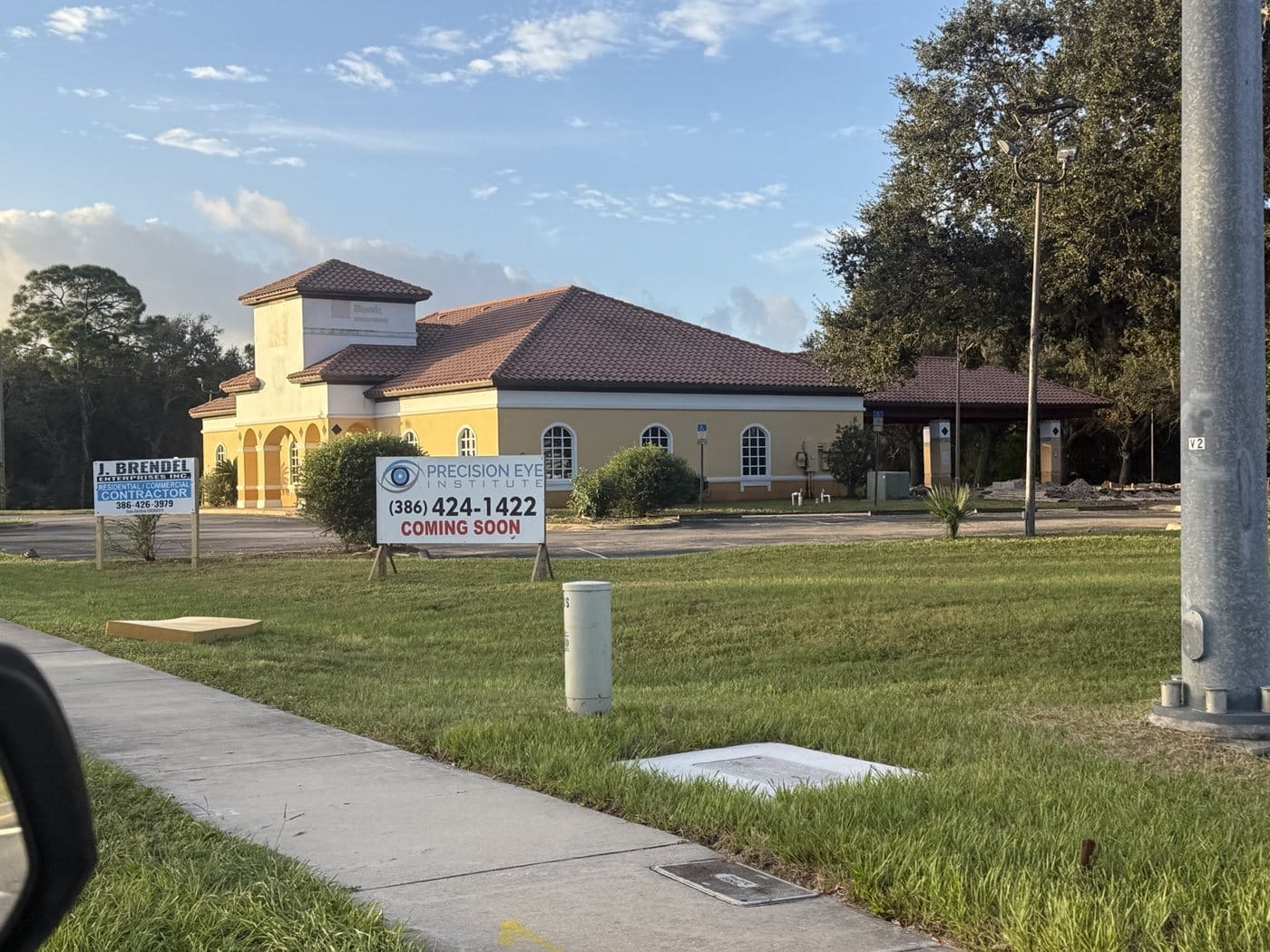 Photo
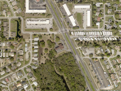 Satellite · reference point
Expand for details9 records · 3 photos · map & project info
Timeline and votes
Decisions & project history
Newest firstEdgewater · Original inspection result
First rough-plumbing inspection approved
Record details & sources
The city records an Approved first rough-plumbing inspection with an actual inspection date of November 9, 2026 on addition/remodel record COMA00074373226092200, permit 26-2152, at 2210 South Ridgewood Avenue. A rough inspection is an intermediate construction check; it is not a final inspection, certificate of occupancy or verified clinic opening.
Owner field photos received
Record details & sources
Visible exterior work documented; capture date, interior completion and opening date are unconfirmed.
Supplied site photo ↗Edgewater · Original inspection result
Interior-demolition building final approved
Record details & sources
The city records an Approved building-final inspection on September 23, 2026 for interior-demolition record DEMI00074234626090800, permit 26-2155, at 2210 South Ridgewood Avenue. The actual inspection date matches the scheduled date. The portal separately displays application status PermitStatusNotOK. This final concerns the demolition scope, not completion or occupancy approval of the medical clinic.
Volusia County Property Appraiser · Transaction index
County indexes $1,225,000 warranty-deed transaction
Record details & sources
The county parcel record for 840200000450, 2210 South Ridgewood Avenue, lists a June 9, 2026 warranty-deed transaction at $1,225,000, instrument 2026112009, book 8869/page 0224, classified qualified and improved. Its current listed owner is OK Consulting of Volusia LLC. This is the county-indexed transaction date; the original deed must establish the parties and boundaries, and the index is not a complete chain of title.
Volusia County Property Appraiser · Parcel history
Warranty-deed transfer listed
Record details & sources
The county property appraiser lists this WD-WARRANTY DEED entry for parcel 840200000450 at book/page 7863 / 3725, instrument 2020105362. The listed amount is $1,242,800; the county classifies the entry as unqualified and the parcel as improved at that time. The indexed amount is not verified as consideration solely attributable to this parcel or as the cost of the current proposal; original deed parties and transaction scope have not been reviewed.
Volusia County Property Appraiser · Parcel history
Quitclaim transfer listed
Record details & sources
The county property appraiser lists this QC-QUIT CLAIM DEED entry for parcel 840200000450 at book/page 7696 / 2976, instrument 2019098815. The listed amount is $900,000; the county classifies the entry as unqualified and the parcel as improved at that time. The indexed amount is not verified as consideration solely attributable to this parcel or as the cost of the current proposal; original deed parties and transaction scope have not been reviewed.
Volusia County Property Appraiser · Parcel history
Quitclaim transfer listed
Record details & sources
The county property appraiser lists this QC-QUIT CLAIM DEED entry for parcel 840200000450 at book/page 6537 / 2301, instrument 2010209585. The listed amount is $7,800,000; the county classifies the entry as unqualified and the parcel as improved at that time. The indexed amount is not verified as consideration solely attributable to this parcel or as the cost of the current proposal; original deed parties and transaction scope have not been reviewed.
Volusia County Property Appraiser · Parcel history
Warranty-deed transfer listed
Record details & sources
The county property appraiser lists this WD-WARRANTY DEED entry for parcel 840200000450 at book/page 4693 / 1480, instrument 2001110968. The listed amount is $355,000; the county classifies the entry as unqualified and the parcel as vacant at that time. The indexed amount is not verified as consideration solely attributable to this parcel or as the cost of the current proposal; original deed parties and transaction scope have not been reviewed.
Volusia County Property Appraiser · Parcel history
Warranty-deed transfer listed
Record details & sources
The county property appraiser lists this WD-WARRANTY DEED entry for parcel 840200000450 at book/page 2283 / 1058. The listed amount is $110,000; the county classifies the entry as unqualified and the parcel as vacant at that time. The indexed amount is not verified as consideration solely attributable to this parcel or as the cost of the current proposal; original deed parties and transaction scope have not been reviewed.
Photos and map
Photos & map


Satellite view with a marker at the saved project reference. The marker is not a surveyed parcel boundary; imagery date unverified. Imagery: Esri, Maxar, Earthstar Geographics and the GIS User Community. Open satellite image · Open mapped reference
Project facts and sources
Project information & sources
- People & companies
County-listed owner: OK Consulting of Volusia LLC · Construction contractor unconfirmed. Matched county parcel record ↗
- Approvals & permits
Renovation is underway. The city approved a first rough-plumbing inspection November 9; final clinic completion and opening remain unconfirmed.
The county permit summary links interior-demolition permit 26-2155 to addition/remodel permit 26-2152 at this address. It lists $850,000 for the addition/remodel scope; that secondary amount is not a verified final project cost or permit-issuance date. The city’s original demolition final and later rough-plumbing results are separate construction checks, not clinic occupancy approval. County permit summary ↗
- Size & completion
Project size: See the scope in What’s planned.
Completion: See the dated approvals and project history.
- Things to know
The September 23, 2026 building-final result concerns interior-demolition permit 26-2155. The November 9 rough-plumbing pass belongs to separate addition/remodel permit 26-2152. These are different work scopes; neither inspection alone certifies completion or occupancy of the medical clinic.
- Sources
Sources checked: Inspection and parcel records Nov 10, 2026
Additional original district/city/inspection records and matched commercial parcel histories checked November 10, 2026. Their dated actions and source limits are recorded separately above. Historical permit scopes, current pending reviews and intermediate inspections are not full lifecycle or construction-completion certifications.
County parcel transaction tables checked November 10, 2026. Amounts and vacant/improved labels describe the indexed transactions, not construction progress or appraised values. Multi-parcel amounts are not allocated to individual sites. The county cautions that these tables are not a complete chain of title; deed parties and boundaries require the original recorded instruments.
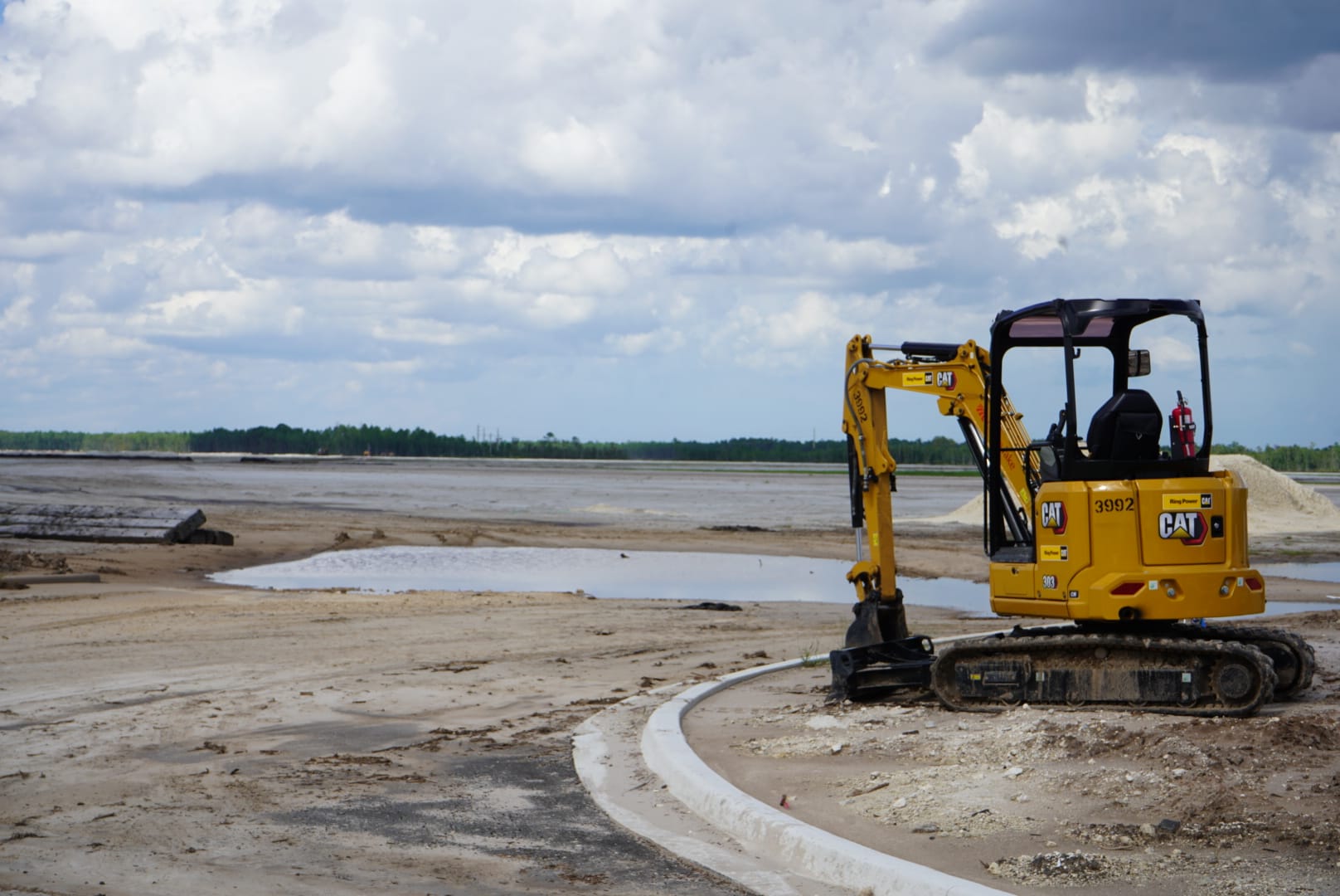 Photo
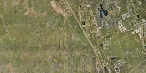 Satellite · reference point
Expand for details64 records · 23 vote records · 1 photo · map & project info
Timeline and votes
Decisions & project history
Newest firstSt. Johns River Water Management District
Application-fee receipt filed for mixed-use infrastructure
Record details & sources
The district receipt records $2,805 paid as the application fee for 106423-17 on November 4. It is indexed as a partial response. Payment alone does not answer the other information requests, establish acceptance of a complete response or issue a permit. The public case still lists Pending RAI Response at the November 10 check. Original district document · 9007350 ↗ · Original district document · 8992526 ↗
St. Johns River Water Management District
District requests amenity-center property and drainage information
Record details & sources
For application 106423-18, staff requested the application fee, documentation of sufficient property rights, signing-authority evidence if the applicant changes, and reconciliation of Basin I impervious-area assumptions with mass-grading permit 106423-10. The letter identifies a conditional $122.50 fee for the stated 3.81-acre work if new wetland or surface-water impacts are not proposed or are already permitted. Its apparent-owner question distinguishes Farmton Deering Park, LLC from Deering Park 1, LLC; it is not a final title determination. The application remains pending an information response, separate from the existing city amenity approval. Original district document · 9003777 ↗
St. Johns River Water Management District
District requests mixed-use infrastructure clarifications
Record details & sources
For application 106423-17, staff requested clarification of the 124.6-acre application field against a smaller apparent pond-and-road work area, the application fee, sufficient property rights across the proposed work, and stormwater-treatment, model, structure and maintenance-financial-capability details. The request did not issue or deny a permit. Previously issued authorizations elsewhere in North remain separate. Original district document · 8992526 ↗
St. Johns River Water Management District · Filed record
Amenity-center modification filed for Deering Park North
Record details & sources
Application 106423-18 requests a 3.81-acre amenity center at Deering Park North. The filed form names existing permit 106423-9; its much larger acreage field describes the overall permit scope rather than the amenity work area. The agency’s October 24 record remained pending review, and the October 30 check also found the case pending. Filing was not a new approval or opening announcement. The City’s June 9, 2026 development order is a separate city approval, following the April 6 Council decision.
Florida Fish and Wildlife Conservation Commission · Agency review
State wildlife agency records no comment
Record details & sources
The October wildlife review report records a no-comment opinion on October 5 for the mixed-use Phase 1 infrastructure application (106423-17). The report was posted to the district case on November 5. The district application remained pending on November 7.
Original wildlife review spreadsheet ↗ · Live district case 106423-17 ↗
District disclosure · Construction history
Clearing and mass grading began in the initial district area
Record details & sources
The August 2025 preliminary offering memorandum dates clearing and mass grading for the initial assessment area to December 2024. That area includes North Phase 1 and Center phases; the document separately reports North grading underway. This does not establish that roads, homes or every phase were complete.
District disclosure · Builder contract
Perry Homes enters a North lot-purchase contract
Record details & sources
The August 2025 disclosure dates Perry Homes of Florida’s agreement to December 19, 2024, as amended. It covers approximately 47 lots overall, including 27 in the initial North Phase 1 assessment area. Lot closings remained conditional on development requirements; the contract date is not a completed home sale.
District disclosure · Builder contracts
David Weekley Homes enters two North lot contracts
Record details & sources
The August 2025 disclosure dates both Weekley Homes agreements to January 2, 2025, as amended. They include 26 larger lots and 63 smaller lots in the initial North Phase 1 assessment area—89 lots there in total. The disclosure identifies Weekley Homes as operating under the David Weekley Homes brand; closings were still conditional.
District disclosure · Builder contract
Landsea enters a North lot-purchase contract
Record details & sources
The August 2025 disclosure dates Landsea Homes of Florida’s agreement to March 4, 2025. Of approximately 145 lots in that contract, 80 are in the initial North Phase 1 assessment area. The document reports a notice to proceed and deposit, while preserving conditions on future lot closings.
Deering Park Stewardship District · Preliminary disclosure
District identifies the first North builders and lot allocation
Record details & sources
The preliminary offering memorandum identifies Perry Homes, David Weekley Homes and Landsea under contracts for 196 of the 274 single-family lots in the initial North Phase 1 assessment area, with 78 still being negotiated at that time. This historical financing scope excludes Phase 1’s 73 townhomes and is smaller than the later 347-home City approval. Forecast closings and completion dates in the memorandum are not verified outcomes.
Florida Department of Economic Opportunity · State review
Proposed North amendment complete for state review
Record details & sources
Florida Department of Economic Opportunity’s June 15 cover letter records receipt and completeness on April 20 for amendment 21-01DRI. The April 21 corrected acknowledgment began the state-coordinated review of the proposed replacement plan.
Florida Department of Transportation · Review comments
State transportation agency reviews the proposed change
Record details & sources
Florida Department of Transportation reviewed the proposed replacement land-use designation and the accompanying 6,600-home development program. Its transportation analysis and comments were part of comprehensive-plan review, rather than a construction authorization.
Florida Department of Environmental Protection · Review comments
Florida Department of Environmental Protection submits its proposed-plan review
Record details & sources
Florida Department of Environmental Protection reported that the proposed amendment contained no provision that, if adopted, would adversely affect important state resources within its jurisdiction. This was a planning-review comment, not an environmental construction permit.
Florida Department of Economic Opportunity · Objections report
State raises four objections to the proposed plan
Record details & sources
Florida Department of Economic Opportunity identified four objections concerning urban sprawl, site suitability and compatibility, public facilities, and affordable housing, plus one comment. The report recommended revisions before adoption; the later compliance notice followed changes to the proposal.
Florida Department of Economic Opportunity · Adopted review
Adopted North amendment complete for state review
Record details & sources
Florida Department of Economic Opportunity acknowledged receipt and completeness of the adopted amendment package on October 13, following Council’s October 11 adoption of Ordinance 2021-O-08. State compliance review remained a separate step.
Florida Department of Transportation · Adopted review
Florida Department of Transportation calls for cumulative traffic analysis
Record details & sources
Florida Department of Transportation’s adopted-amendment review recommended cumulative traffic-impact analyses across individual development applications so total impacts would not be underestimated, with continued City and County coordination. These comments were separate from later road and permit approvals.
Florida Department of Economic Opportunity · Compliance notice
State posts an in-compliance notice
Record details & sources
Florida Department of Economic Opportunity posted its notice of intent to find Ordinance 2021-O-08 in compliance. Its staff report found all four objections addressed through revised site-specific policies covering development limits, environmental protection, utilities and affordable housing. The notice makes effectiveness conditional on any timely challenge; it does not establish a separate VGMC certification.
City project agreement · Ownership history
Farmton North purchases the Restoration property
Record details & sources
The Chapter 163 agreement’s recitals date Farmton North’s purchase to August 30, 2018. This ownership change preceded the replacement Deering Park North plan.
St. Johns River Water Management District · Permit record
Restoration permits transferred to Farmton North
Record details & sources
Agency decisions 106423-6 and 106423-7 transferred the conceptual and mass-grading permits to Farmton North. Later North permits modify these predecessor records.
City project agreement · Application history
Replacement Deering Park North plan submitted
Record details & sources
The Chapter 163 agreement records a new plan submitted May 1, 2020, reducing development entitlements and increasing preservation acreage. It sought new land-use and zoning designations and the Deering Park North name.
Planning and Zoning Board · Recommendation
Board recommends the replacement land-use designation
Who voted?
George Kennedy YESRobert Andrejkovics YESPaul Wright YESThomas Duane YESBurton Maroney YESAlbert Amalfitano YESEric Rainbird YESRecord details & sources
The Planning and Zoning Board recommended Comprehensive Plan Amendment (CPA-2009), changing Sustainable Community Development with Conservation Overlay to Mixed Use with Conservation Overlay. Passed 7–0; this was a recommendation to Council.
Planning and Zoning Board · Recommendation
Planning board recommends new rules for a mix of uses
Who voted?
George Kennedy YESRobert Andrejkovics YESPaul Wright YESThomas Duane YESBurton Maroney YESAlbert Amalfitano YESEric Rainbird YESRecord details & sources
The board recommended replacing the property’s Sustainable Community District development rules with Mixed Use development rules under case RZ-2008. The recommendation passed 7–0. The Council’s later decisions are separate.
St. Johns River Water Management District · Permit record
North and Central pre-application review recorded
Record details & sources
The agency received pre-application record 106423-8 for Deering Park North & Central. It is listed as never issued; this consultation record was not a construction permit.
St. Johns River Water Management District · Permit record
Revised North conceptual and grading applications received
Record details & sources
The agency received modifications 106423-9 and 106423-10 to the predecessor Restoration permits. Their 2024 issuance dates are recorded separately.
St. Johns River Water Management District · Permit record
Further conceptual and infrastructure modifications submitted
Record details & sources
Applications 106423-11 and 106423-12 modified the individual and conceptual permits. Their December decisions are separate milestones.
St. Johns River Water Management District · Permit record
Additional stormwater modification submitted
Record details & sources
Application 106423-13 sought a further modification to permit 106423-10. Its January 2026 decision is recorded separately.
St. Johns River Water Management District · Permit record
Updated overall stormwater concept approved
Record details & sources
Permit 106423-12 revised the conceptual stormwater plan for 5,184.5 acres. The portal lists an expiration of February 11, 2039; individual phase permits were still separate.
This approval covers design concepts, not blanket construction permission. Its conditions require separate phase permits and continued consistency with the approved design. Staff review retains conservation easements, wetland buffers and wildlife protections; the drainage revision proposes no new wetland impacts.
St. Johns River Water Management District · Permit record
Stormwater permit issued for a 19.44-acre component
Record details & sources
Permit 106423-11 authorizes construction and operation of a stormwater management system for this North component. The portal lists an expiration of December 15, 2030.
Staff identifies this component as 2,735 feet of Indian River Boulevard with revised drainage. The issued permit requires stormwater storage before impervious surfaces, completion certification and recurring inspections; it authorizes no new wetland or surface-water impacts.
Volusia County Council · Decision
County approves the Phase 1 road-cost agreement
Record details & sources
Volusia County Council approved the agreement with Edgewater and Deering Park 1 LLC, following the City’s November vote. The action list records 6–0, with Troy Kent absent. Danny Robins moved approval and Matt Reinhart seconded. It lists $819,605 in revenue; approval does not establish payment received.
St. Johns River Water Management District · Permit record
Stormwater permit issued for a 60.8-acre component
Record details & sources
Permit 106423-13 authorizes construction and operation of a stormwater management system for this North component. The portal lists an expiration of January 13, 2031.
Staff identifies this as conversion of a borrow-lake area into a constructed recharge wetland for Edgewater’s water-reclamation facility. The stated aims are aquifer recharge and reduced nutrient discharge toward Mosquito Lagoon; achieved reductions are not established by permit issuance. The authorization prohibits wetland impacts and requires maintenance and recurring inspections.
St. Johns River Water Management District · Permit record
Phase 1 state stormwater application received
Record details & sources
Application 106423-14 covers the first residential phase. The agency’s July 15 issuance is a separate event.
St. Johns River Water Management District · Permit record
Phase 2 state stormwater application received
Record details & sources
Application 106423-15 covers the second residential phase. The agency’s September 8 issuance is a separate event.
St. Johns River Water Management District · Permit record
Williamson Boulevard state stormwater application received
Record details & sources
Application 106423-16 covers stormwater infrastructure for the North Williamson Boulevard segment. The agency’s July 15 issuance is recorded separately.
St. Johns River Water Management District · Permit record
Phase 1 state stormwater permit issued
Record details & sources
Permit 106423-14 authorizes the stormwater system for the 118.33-acre Phase 1 project, using plans received June 15. The portal lists an expiration of July 15, 2031.
The issued permit requires erosion controls and advance construction notice, stormwater storage excavated to rough grade before building work or impervious surfaces, and completion certification within 30 days after the permitted work or an independent portion is finished. It prohibits impacts to wetlands and other surface waters and requires inspections within two years of completion and every two years thereafter. These are obligations; their completion has not been verified.
St. Johns River Water Management District · Permit record
Williamson Boulevard state stormwater permit issued
Record details & sources
Permit 106423-16 authorizes the stormwater system for the 12.73-acre North Williamson Boulevard project. The portal lists an expiration of July 15, 2031.
The issued authorization requires stormwater storage before impervious surfaces, completion certification and recurring inspections. It prohibits wetland and other surface-water impacts. Roadway completion and opening have not been confirmed by this permit.
St. Johns River Water Management District · Permit record
Phase 2 state stormwater permit issued
Record details & sources
Permit 106423-15 authorizes the stormwater system for the 49.69-acre Phase 2 project, using plans received June 12. The portal lists an expiration of September 8, 2031.
Staff review identifies undisturbed buffers beside onsite wetlands averaging 25 feet wide, with a 15-foot minimum. The issued permit authorizes no wetland or surface-water impacts and requires conservation-area signs before any lot sale or infrastructure use, whichever comes first. Installation and completion have not been verified.
St. Johns River Water Management District · Permit record
New mixed-use infrastructure application received
Record details & sources
Application 106423-17 proposes stormwater facilities and first-phase roadway infrastructure for North Mixed Use Phase 1. As of the agency’s October 24 record, it is pending a response to a request for additional information—not issued.
St. Johns River Water Management District · Permit
Clearing and mass-grading permit issued
Record details & sources
The agency records a May 8, 2024 decision for 106423-10, with a May 8, 2029 expiration. Later permits 106423-11 and 106423-13 modify this authorization.
St. Johns River Water Management District · Permit
Conceptual water-management permit issued
Record details & sources
The agency records a May 31, 2024 decision for 106423-9, with a February 11, 2039 expiration. Later records 106423-12 and 106423-18 modify or seek to modify this concept.
Edgewater Development Services · Development order
Amenity-center development order issued
Record details & sources
The September 2026 city report lists June 9, 2026 as the amenity-center development-order date. This follows the April 6 Council approval; it does not establish completion or opening.
City project record · Application history
North Phases 1–2 lot-layout applications submitted
Record details & sources
Staff dates the initial preliminary lot-layout applications for North Phases 1 and 2 September 10, 2024. These are the plans for 347 and 169 homes, respectively; the owner is listed as Deering Park 1 LLC.
City Council · Decision
advance removal of the old Restoration approval
Passed 5–0.Who voted?
Mike Thomas YESMegan O'Keefe YESJonah Powers YESChristine Power YESGigi Bennington YESRecord details & sources
City Council · Decision
advance proposed land-use change
Passed 5–0.Who voted?
Mike Thomas YESMegan O'Keefe YESJonah Powers YESChristine Power YESGigi Bennington YESRecord details & sources
City Council · Decision
advance proposed zoning and development rules
Passed 5–0.Who voted?
Mike Thomas YESMegan O'Keefe YESJonah Powers YESChristine Power YESGigi Bennington YESRecord details & sources
City Council · Decision
overall development rules approved
Passed 5–0.Who voted?
Jonah Powers YESChristine Power YESGigi Bennington YESMike Thomas YESMegan O'Keefe YESRecord details & sources
City Council · Decision
earlier Restoration approval removed
Passed 5–0.Who voted?
Jonah Powers YESChristine Power YESGigi Bennington YESMike Thomas YESMegan O'Keefe YESRecord details & sources
City Council · Decision
land-use change approved
Passed 5–0.Who voted?
Jonah Powers YESChristine Power YESGigi Bennington YESMike Thomas YESMegan O'Keefe YESRecord details & sources
Conservation / land useCity Council · Decision
infrastructure and fee agreement
Passed 5–0.Who voted?
Jonah Powers YESChristine Power YESGigi Bennington YESMike Thomas YESMegan O'Keefe YESRecord details & sources
Planning and Zoning Board · Recommendation
Board recommends realigning the entrance
Recommendation passed 6–0Who voted?
George Kennedy YESRobert Andrejkovics YESThomas Duane YESAlbert Amalfitano ABSENTEric Rainbird YESPaul Wright YESChris Hatcher YESRecord details & sources
City Council · Decision
entrance realignment approved
Passed 5–0.Who voted?
Diezel DePew YESCharlotte Gillis YESGigi Bennington YESDebbie Dolbow YESJonah Powers YESRecord details & sources
City Council · Decision
Traffic-cost agreement approved
Passed 4–1Who voted?
Diezel DePew YESMike Thomas YESDebbie Dolbow YESEric Rainbird YESCharlotte Gillis NORecord details & sources
City Council · Decision
Wastewater agreement approved
Passed 3–2Who voted?
Mike Thomas YESDebbie Dolbow YESEric Rainbird YESDiezel DePew NOCharlotte Gillis NORecord details & sources
City Council · Decision
Amenity-center plans approved
Passed 5–0Who voted?
Diezel DePew YESCharlotte Gillis YESMike Thomas YESDebbie Dolbow YESEric Rainbird YESRecord details & sources
Planning and Zoning Board · Recommendation
Board recommends North Phase 1: 347 homes plans
Recommendation passed 7–0Who voted?
Thomas Duane YESPatrick Fisher YESJames McGinnis YESGeorge Kennedy YESRobert Andrejkovics YESChris Hatcher YESDwight Cunningham YESRecord details & sources
The recommendation required a third-party engineer’s stormwater analysis to be provided to City Council before its hearing.
Planning and Zoning Board · Recommendation
Board recommends North Phase 2: 169 homes plans
Recommendation passed 7–0Who voted?
Thomas Duane YESPatrick Fisher YESJames McGinnis YESGeorge Kennedy YESRobert Andrejkovics YESChris Hatcher YESDwight Cunningham YESRecord details & sources
City Council · Decision
Phase 1: plans for 347 homes approved
Passed 4–0Who voted?
Diezel DePew YESCharlotte Gillis YESDebbie Dolbow YESEric Rainbird YESMike Thomas EXCUSEDRecord details & sources
The final Council minutes report that Zev Cohen and Associates provided the stormwater report and analysis required by the Planning and Zoning Board. This records staff’s confirmation at the hearing; it is separate from the state’s later permit decision.
City Council · Decision
Phase 2: plans for 169 homes approved
Passed 4–0Who voted?
Diezel DePew YESCharlotte Gillis YESDebbie Dolbow YESEric Rainbird YESMike Thomas EXCUSEDRecord details & sources
Edgewater Development Services · Project update
Deering Park North Phase 1: city report update
Record details & sources
347 reported homes. The early lot layout was approved for 274 detached homes and 73 townhomes. Phase counts are within the parent plan and are not added again to its housing total.
Edgewater Development Services · Project update
Deering Park North Phase 2: city report update
Record details & sources
169 reported homes. The early lot layout was approved. Phase counts are within the parent plan and are not added again to its housing total.
Edgewater Development Services · Project update
Deering Park North Multi-Family: city report update
Record details & sources
300 reported homes. The permit holder had requested more time for this phase; the report does not confirm that request was granted. Phase counts are within the parent plan and are not added again to its housing total.
Edgewater Development Services · Project update
Deering Park North Amenity: city report update
Record details & sources
A development order issued June 9, 2026 is listed.
Edgewater Development Services · Project update
Deering Park North Business Phase 1: city report update
Record details & sources
The permit holder requested more time; the report does not confirm that request was granted.
Edgewater Development Services · Project update
Deering Park North Grocery: city report update
Record details & sources
The permit holder requested more time for the grocery-site plan. No tenant or opening date is confirmed here.
Edgewater Development Services · Project update
Deering Part North Retail: city report update
Record details & sources
The permit holder requested more time for the retail sites; the report does not confirm that request was granted.
Photos and map
Photos & map

Project facts and sources
Project information & sources
- Approvals & permits
Construction seen Oct 22, 2026.
Both current district applications remain Pending RAI Response at the November 10 check: mixed-use Phase 1 infrastructure 106423-17 and the amenity-center modification 106423-18. These pending modifications are separate from existing city approvals and previously issued phase permits; they do not reset the entire North project or establish completion of homes or amenities. Amenity-center case106423-18 ↗ · Mixed-use infrastructure case106423-17 ↗
- Size & completion
Planned / reported: 6,600 homes
Cleared to live in: Not confirmed.
Homes sold: Not confirmed.
6,600 homes across the whole project. Homes in each phase are already included. A complete city list of homes cleared to live in is not confirmed.
Full completion unconfirmed.
The filed C-200 plan proposes a one-story 3,838-square-foot clubhouse, a 1,307-square-foot cabana, pool, mail kiosk and canoe/kayak launch. Its site table lists 6,840 square feet of total building GFA, 90 vehicle spaces and 20 separate golf-cart spaces. These are proposed plan figures, not completed facilities, approved occupancy, an opening schedule or added homes. Filed amenity plans ↗
The application has a 6,853.80-acre field, the drainage narrative describes the wider North community as about 5,184.5 acres, the engineering work tables use 3.81 acres, and the cover legal description says 4.301 acres. The cover heading, filed deed and referenced county parent use Range 34 East, while the cover legal paragraph prints Range 33 East. These are different source scopes and unresolved filing inconsistencies; they are not interchangeable surveyed boundaries. The new filing adds no homes to the existing 6,600-home maximum. Filed application ↗ · Filed amenity plans ↗
- Things to know
The filed amenity-plan cover lists Farmton Deering Park as owner/developer, the plans as prepared for Kolter, Kimley-Horn as civil engineer, Principal Design & Development Group as architect, Marquis Latimer & Halback as landscape architect, GeoPoint Surveying as surveyor, and Universal Engineering Sciences as geotechnical consultant. These are plan-listed roles, not evidence of awarded construction contracts. Filed amenity-plan cover ↗
The October 19 application describes 3.81 acres for recreational amenities and names Farmton Deering Park, LLC as applicant with Kimley-Horn as consultant. The filed form references permit 106423-9; the catalog routes the modification under sequence 10, and the October 30 request requires comparison with the mass-grading drainage assumptions in 106423-10. Those source-specific roles are retained rather than treating a conceptual approval as issued authorization for the new work. Filed application ↗ · October30 district request ↗
The filed deed is a broad 2016 Swallowtail-to-Farmton Deering Park conveyance including Section 7 parcels as well as other tracts. Current county parent references 840700000010, 840700000020 and 840700000014 still list Farmton Deering Park, but parent parcel labels do not establish the controlling title to the specific proposed work area. District staff separately requested property-control and possible signing-authority documentation because the proposed work appeared to involve Deering Park 1. The available case has no later substantive response resolving that question; no legal title opinion is supplied. Historical deed submitted with filing ↗ · District property-control request ↗
The October 16 drainage statement proposes discharge through the North system toward Center and describes anticipated City of Edgewater utility service. Those are applicant design statements, not accepted as-builts or executed new utility-service agreements. The October 30 district request asks for reconciliation with the master drainage assumptions; it does not establish drainage construction or acceptance. Filed drainage statement ↗
The current FWC No Comment workbook identifies 106423-17 in row 24, stamped September 25 with an October 5 opinion date. It was forwarded and filed November 5. The separately attached standard in-water workbook has no matching North entry; its generic manatee-condition discussion is not assigned to this case. A no-comment opinion is not a wildlife take permit or district ERP approval. Case-specific FWC workbook entry ↗ · November5 forwarding letter ↗
- What happens next
The district is awaiting additional-information responses for the mixed-use infrastructure and amenity-center filings, including the requested property-control and drainage clarifications. Phase-specific inspection, occupancy and opening evidence remains subject to its stated public-record limits. Amenity-center case106423-18 ↗ · Mixed-use infrastructure case106423-17 ↗
- Sources
Sources checked: State checked Oct 24, 2026 · District and wildlife report Nov 7, 2026
Current source review November 10, 2026; pending applications and proposed facilities are not construction-completion claims.
State permit history · 13 project-related agency records
Agency index checked October 24, 2026. “Received” is the application date; decisions and current portal labels are shown separately. The 2018 transfers are retained to explain the current North permit modifications; earlier records for the separate Restoration and Hammock Creek proposals are excluded from this project history.
- St. Johns River Water Management District 106423-18 — Deering Park North Amenity Center · Minor modification of 9. Received 2026-10-19; Pending.
- St. Johns River Water Management District 106423-17 — Deering Park North Mixed Use Phase 1 Infrastructure · Modification of 12. Received 2026-09-24; Pending.
- St. Johns River Water Management District 106423-16 — Deering Park North Williamson Boulevard · Modification of 12. Received 2026-02-06; decision 2026-07-15; Issued. Portal expiration: 2031-07-15.
- St. Johns River Water Management District 106423-15 — Deering Park North Phase 2 · Modification of 12. Received 2026-01-30; decision 2026-09-08; Issued. Portal expiration: 2031-09-08.
- St. Johns River Water Management District 106423-14 — Deering Park North Phase 1 · Modification of 12. Received 2026-01-29; decision 2026-07-15; Issued. Portal expiration: 2031-07-15.
- St. Johns River Water Management District 106423-13 — Deering Park North · Modification of 10. Received 2025-09-17; decision 2026-01-13; Issued. Portal expiration: 2031-01-13.
- St. Johns River Water Management District 106423-12 — Deering Park North · Conceptual modification of 9. Received 2025-07-25; decision 2025-12-09; Issued. Portal expiration: 2039-02-11.
- St. Johns River Water Management District 106423-11 — Deering Park North · Modification of 10. Received 2025-07-25; decision 2025-12-15; Issued. Portal expiration: 2030-12-15.
- St. Johns River Water Management District 106423-10 — Deering Park North · Clearing and grading modification. Received 2022-10-11; decision 2024-05-08; Issued. Portal expiration: 2029-05-08.
- St. Johns River Water Management District 106423-9 — Deering Park North · Conceptual modification. Received 2022-10-11; decision 2024-05-31; Issued. Portal expiration: 2039-02-11.
- St. Johns River Water Management District 106423-8 — Deering Park North & Central · Pre-application. Received 2022-04-18; Never issued.
- St. Johns River Water Management District 106423-7 — Restoration–Mass Grading · Ownership transfer. Received 2018-10-12; decision 2018-10-17; Issued. Portal expiration: 2024-02-12.
- St. Johns River Water Management District 106423-6 — Restoration · Ownership transfer. Received 2018-10-12; decision 2018-10-17; Issued. Portal expiration: 2039-02-11.
Latest applications: 106423-17 awaits an additional-information response; 106423-18 is under review. The portal’s “Issued” label on older records is not a claim that every original authorization remains unmodified or unexpired.
Official permit search · search 106423 ↗ · City permit information ↗
News coverage · 1 link
- The Wild West (of 95): Deering Park
News Smyrna · 2026-10-01 · Reporting
Funding & public costs
North / Center Phase 1 agreements and broader district projects. Grant figures are cumulative through September 2, 2026; they are separate from city spending.
Project history scope · Nov 11, 2026
This history begins with Farmton North’s August 30, 2018 acquisition as recited in the City-published development-agreement text, followed by its May 1, 2020 replacement plan. The acquisition date is attributed to those recitals, not an independently verified deed or title opinion. The 2018 permit transfers and 2021 decisions replacing the former Restoration approval explain continuity; the separate earlier project’s full lifecycle is excluded. Current North city votes, state review, county actions, builder contracts and permit history remain.
Not yet verified: the 2021 county certification and challenge outcome; later multifamily, business, grocery and retail extensions; the county road-payment receipt; and completed inspections or final construction certifications.
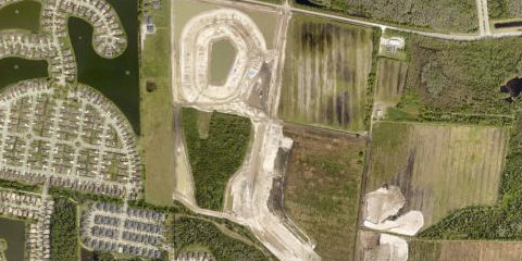 Satellite · reference point
Expand for details62 records · 7 vote records · map & project info
Timeline and votes
Decisions & project history
Newest firstNew Smyrna Beach · Original permit case
Permit issued · ENG-00554-2026
Record details & sources
The city lists an issued date of Oct 30, 2026 for ENG-00554-2026. The case is categorized as fence-non-residential, at 3140 SCALLOP NEW SMYRNA BEACH, FL 32168, on parcel 730800000050. The work covers a basketball court, its fence and gate. When checked November 10, 2026, this permit case had status “Issued”.
New Smyrna Beach · Original permit case
Permit issued · ENG-00553-2026
Record details & sources
The city lists an issued date of Oct 30, 2026 for ENG-00553-2026. The case is categorized as fence-non-residential, at 3140 SCALLOP NEW SMYRNA BEACH, FL 32168, on parcel 730800000050. The work covers a pickleball court, its fence and gate. When checked November 10, 2026, this permit case had status “Issued”.
New Smyrna Beach city map · Dated source check
City map checked; published case information recorded
Record details & sources
Case S-03-22: Commercial and Residential. City map status: Under Construction. Approval body listed: City Commission. Approval date listed: Jun 27, 2023.
Case S-0004-2023: 368 Residential Units. City map status: Under Construction. Approval body listed: Staff Approval. Approval date listed: Nov 17, 2025.
Case SP-0031-2025: 3,879 Aminity Center. City map status: Under Construction. Approval body listed: Staff Approval. Approval date listed: Jun 25, 2026.
Keep Phases 1–2, Phases 3–4 and the amenity-center case within Ardisia Park. The map lists 368 units for Phases 3–4, while the older report on this card lists 385. Neither figure is added to the full-project total again; the discrepancy remains unresolved.
This is the map information available at the check, not a new city decision. Individual votes, applicant, builder and permit history are not supplied by this map.
City records · Approval letter checked against online records
City approval confirmed; online status labels disagree
Record details & sources
The city approved the final map of lots, roads and shared areas for Phases 3–4 on June 22, 2026. Its signed letter requires several conditions to be met before the map can be filed with the county. The online permit page still says “In Review,” and the city map lists a different approval date. We have not confirmed that the conditions were met or that the county filing is complete.
City permit portal · Housing status snapshot
City records show 211 home-permit cases in Phases 1–2
Record details & sources
A search of city records found 211 separate lot cases after excluding two void cases and one withdrawn duplicate. The city labels 148 Complete, 49 Issued, seven Fees Due, four In Review and three Fees Paid. These labels do not tell us how many homes are occupied. One completed regular-home case included permission to occupy the home; a completed model-home case did not. A community-wide total of homes cleared for occupancy has not been confirmed.
City permit portal · Amenity courts
Court fencing proposed; permits still under review
Record details & sources
Applications ENG-00553-2026 and ENG-00554-2026 seek permission for fences and gates around the pickleball and basketball courts. Both are still under review, with no permit issue date shown. The applications do not confirm that the courts are finished or open.
City permit portal · Later housing phase
Two home applications filed for Phases 3–4
Record details & sources
Applications BLDR-01449-2026 and BLDR-01452-2026 cover new homes on lots 321 and 322 on Scallop Way. Both are under review, with no permit issue date shown. They are part of the approved community plan, rather than additional homes beyond its limit.
City portal · One part of the city review
Planning staff approve their part of the Phase 3–4 review
Record details & sources
Planning staff marked their review approved on August 17. The overall online case still says “In Review,” although a signed city letter confirms approval on June 22. This later staff review does not confirm that the lot map was filed with the county or that homes are ready to occupy.
City permit portal · Temporary fence
Permit issued for a temporary construction fence
Record details & sources
Permit ENG-00437-2026 allows a temporary fence and gate at the community recreation area during construction. A separate dog-park fence application, ENG-00592-2024, was withdrawn. Neither record confirms that the recreation area or dog park is finished.
City permit portal · Clubhouse construction
Clubhouse building permit issued
Record details & sources
The city issued permit BLDC-00030-2026 for the clubhouse at 3140 Scallop Way on August 5, following a January 30 application. The plans include changes to the foundation, electrical work and roof-truss repairs. The checked record does not show completed final inspections or permission to occupy the building, so an opening has not been confirmed.
New Smyrna Beach · Original permit case
Permit application filed · ENG-00437-2026
Record details & sources
The city lists ENG-00437-2026 with an application date of Jul 29, 2026. The case is categorized as fence-non-residential, at 3140 SCALLOP WAY NEW SMYRNA BEACH, FL 32168, on parcel 730800000030. When checked November 10, 2026, this permit case had status “Issued”.
City permit portal · Amenity pool
Pool permit shows an issue date; completion remains unconfirmed
Record details & sources
The pool record at 3140 Scallop Way shows that a permit was issued July 28, even though its overall status still says “In Review.” It also mentions a later electrical-plan change. Final inspections and the completion certificate have no completion date in the checked record.
Florida Department of Environmental Protection · Inspection photo logs
State inspection photos document construction-site problems
Record details & sources
Florida environmental inspectors’ photos at Ardisia Park show an unprotected drain inlet and an area without a fence used to keep soil from washing away. Separate Shellpoint photos show broken inlet covers, a full dumpster, concrete washout and spilled white paint. The logs were forwarded by agency email on August 18. The photos do not by themselves establish a final enforcement ruling or contamination. Later repairs or agency clearance have not been confirmed.
City portal · One part of the city review
Fire staff approve their part of the Phase 3–4 review
Record details & sources
Fire staff marked their review approved and their comments resolved. This is a separate review step after the June 22 city approval. It does not confirm that the final lot map was filed with the county.
City permit portal · Site-plan approval
City approves the recreation-area layout
Record details & sources
The city approved the recreation-area site plan, case SP-0031-2025, on June 25. This covers the proposed layout. It does not by itself confirm a building permit, completed final inspections or permission to use the facilities.
City staff · Final map of lots, roads and shared areas approval
City approves the Phase 3–4 lot map, with conditions
Record details & sources
The city’s signed letter approves the final map of lots, roads and shared areas for Phases 3–4 on June 22. Before it can be filed with the county, the developer must complete approved final inspections, provide the signed original map, confirm survey markers, supply a current legal review of ownership and record the association’s founding documents. The approved map has blank county-filing fields; a later county filing has not been confirmed.
St. Johns River Water Management District · Operation and maintenance
Homeowners association takes over stormwater-system maintenance
Record details & sources
State permit 156663-8 puts the Ardisia Park Homeowners Association in charge of operating and maintaining the 176.4-acre Phase 1–2 stormwater system. Supporting neighborhood and lot-map documents were submitted January 13, 2026; that is not their county filing date. The maintenance transfer does not mean all homes or later phases are finished.
St. Johns River Water Management District · As-built acceptance
Water district accepts the completed Phase 1–2 drainage system
Record details & sources
The water district reviewed the survey of the completed stormwater system and inspected it on March 16. It found the system met its requirements and cleared it for operation and maintenance. A separate March 30 action transferred responsibility to the homeowners association.
St. Johns River Water Management District · Inspection of the completed work
Water district inspects the Phase 1–2 drainage system
Record details & sources
A later water-district report records a March 16 inspection and says the 176.4-acre stormwater system met its requirements. This finding concerns drainage, rather than whether every house is finished or occupied.
County recording · Fourth minor amendment
Wider driveways allowed for some three-car-garage homes
Record details & sources
The fourth agreement change allows driveways up to 28 feet wide for three-car-garage homes. At least 30% of each lot must remain free of buildings and other surfaces that block water from soaking in, and the required shrub planter between garage doors must be provided. Two-car garages remain subject to the city’s separate rule. The change was filed with the county February 19; the online case closed February 20. Record: instrument 2026030126, Book 8816, pages 1472–1478.
New Smyrna Beach · Original permit case
Permit application filed · BLDC-00030-2026
Record details & sources
The city lists BLDC-00030-2026 with an application date of Jan 30, 2026. The case is categorized as commercial new building, at 3140 SCALLOP WAY NEW SMYRNA BEACH, FL 32168, on parcel 730800000050. When checked November 10, 2026, this permit case had status “Issued”.
New Smyrna Beach · Original planning case
Planning application filed · PUD-0001-2026
Record details & sources
The city lists PUD-0001-2026 with an application date of Jan 27, 2026. The case is categorized as pud agreement minor amendment, at 3350 PIONEER TR NEW SMYRNA BEACH, FL 32168, on parcel 730800000030. When checked November 10, 2026, this planning case had status “Approved”. This is the status of this planning case, separate from construction permits and completed work.
City Commission · Agenda removal
Commission removes Phase 3–4 lot map from the agenda
Record details & sources
The City Commission removed the Phase 3–4 lot-map item from this meeting’s agenda, so no approval vote occurred that day. The staff report proposed 368 lots for these phases and 687 across Phases 1–4, below the 745-home limit. It gives conflicting acreage figures of 275.8 and 282.67. The city map’s later November 17 staff-approval date is a separate record, rather than a Commission vote at this meeting.
City permit portal · Application
Application filed for the community recreation area
Record details & sources
Application SP-0031-2025 proposes a community recreation area with parking, utilities and stormwater facilities on parcel 730800000030. It covers shared facilities rather than additional homes.
Planning and Zoning Board · Plat review
Planning board supports the Phase 3–4 lot map
Record details & sources
The Planning and Zoning Board supported the Phase 3–4 lot map. Its summary says the decision was unanimous; a later staff report records a 4–0 recommendation with no conditions. The sources do not list each member’s vote. The city’s separate final approval letter is dated June 22, 2026.
City portal · Change order
City approves a change to the site plan
Record details & sources
The city marked Shell Pointe Change Order #1, case SP-0002-2024, approved and closed it August 5, 2025. It was filed January 17, 2024. The public description does not explain what changed, so this record does not establish additional homes or a specific change on the ground.
County recording · Third minor amendment
New rule limits paved and built-over space on each home lot
Record details & sources
The third agreement change limits buildings and other surfaces that stop water soaking into the ground to 70% of each single-family lot. A separate rule still applies to the property as a whole. The change was filed with the county as instrument 2025133646, Book 8729, pages 3629–3632.
St. Johns River Water Management District · Phases 3–4 permits
Separate change to the overall plan and Phase 3–4 construction permits issued
Record details & sources
St. Johns River Water Management District issued change to the overall plan 156663-7 and construction permit 156663-6 on the same date. The construction permit covers a 184.47-acre single-family project and requires 0.58 forested freshwater Uniform Mitigation Assessment Method credits from Tiger Bay before construction for 1.46 acres of direct and 2.73 acres of secondary wetland impacts. The change to the overall plan separately describes 147.8 acres; those footprints must not be summed as new homes or treated as the full planned unit development acreage.
St. Johns River Water Management District · Duplicate application withdrawal
Duplicate state application withdrawn; project continues
Record details & sources
The engineer withdrew application 231138-2 after state staff said two applications had been submitted and only the change to the overall plan was needed. Staff uploaded the request February 10. This removed a duplicate application; it did not cancel or reject Ardisia Park.
St. Johns River Water Management District · Mitigation credit transaction
Phase 3–4 mitigation-credit transaction approved
Record details & sources
Tiger Bay’s January 7 authorization allows transfer of 0.58 state forested freshwater Uniform Mitigation Assessment Method credits for Phases 3–4. The District issues the related transaction authorization January 24 under 153063-61, before the February construction permit.
New Smyrna Beach City Commission · Withdrawn proposal
District proposal withdrawn from the agenda
Record details & sources
The official action summary records no action on Ordinance 60-24 because it was withdrawn. This entry concerns the proposed district, not a withdrawal of the subdivision approval.
New Smyrna Beach City report · Historical snapshot
Older city report lists 385 homes for Phases 3–4
Record details & sources
The city’s January 6, 2025 report listed 385 proposed homes for Shell Pointe Phases 3–4 at 3350 Pioneer Trail, case S-0004-2023. That was the plan under review at the time. It is not a current count of completed homes, and these homes are already part of the broader community allowance.
New Smyrna Beach City Commission · Hearing continuance
District hearing postponed to January
Unanimously continued
Individual votes · reconstructed from the minutes
Attribution reconstructed from the unanimous continuance and explicit attendance list. The mayor is listed excused despite a conflicting opening sentence.
Lisa Martin YESBrian Ashley YESValli Perrine YESJason McGuirk YESFred Cleveland EXCUSEDRecord details & sources
The Commission continues Ordinance 60-24, the proposed community development district for Phases 1–4, to January 14. This is a hearing delay, separate from the subdivision approval.
County recorded plat · State-hosted copy
Phase 1–2 lot map filed with the county
Record details & sources
The approved map of lots, roads and shared areas for Phases 1–2 was filed with Volusia County on October 22, 2024. This county filing followed the city’s earlier approval. Record: Map Book 66, pages 111–130, instrument 2024202182. A copy is available in the state permit file.
County recording · State-hosted declaration
Neighborhood rules and homeowners-association documents filed
Record details & sources
The neighborhood’s rules, restrictions and property-access rights were filed with the county as instrument 2024202183, Book 8622, page 268 onward. This 137-page filing is separate from the lot map filed the same day. A March 27, 2025 compilation cover does not establish a new filing date.
City Commission · Approval
Lot map updated; neighborhood renamed Ardisia Park
Approved unanimouslyIndividual votes · reconstructed from the minutes
Attribution reconstructed from the recorded unanimous outcome and meeting attendance.
Fred Cleveland YESValli Perrine YESRandy Hartman YESLisa Martin YESJason McGuirk YESRecord details & sources
The city approved changes to the lot map for Phases 1–2 and the new neighborhood name under item 9.A.
City Commission · Road agreement
Roadway fair-share agreement approved
Approved unanimouslyIndividual votes · reconstructed from the minutes
Attribution reconstructed from the recorded unanimous outcome and meeting attendance.
Fred Cleveland YESValli Perrine YESRandy Hartman YESLisa Martin YESJason McGuirk YESRecord details & sources
The agreement requires $2,035,346.20 toward off-site roadway improvements for Phases 1–4.
City permit portal · Application
Application filed for the next two housing phases
Record details & sources
The original application, S-0004-2023, proposed 385 single-family lots in Phases 3–4. A September 2024 staff report and the current city map instead list 368. These are different versions of the same plan; neither count is added on top of the overall 745-home limit.
St. Johns River Water Management District · Permit transfer
State permit responsibility moves to Taylor Morrison
Record details & sources
The state transferred responsibility for the 176.4-acre Phase 1–2 permit from Melvin/Speer Real Estate, LLC to Taylor Morrison of Florida, Inc. A property deed was submitted to the state November 3. That submission date does not establish when the property was sold or the deed filed with the county.
St. Johns River Water Management District · Mitigation credit transaction
Phase 1–2 mitigation-credit transaction approved
Record details & sources
Tiger Bay’s July 17 authorization confirms full consideration and authorizes transfer of 0.18 state forested freshwater Uniform Mitigation Assessment Method credits for Shell Pointe permit 156663-3. The District’s related credit-transaction authorization is issued July 18 under 153063-41.
St. Johns River Water Management District · Construction permit
State construction permit issued for Phases 1–2
Record details & sources
Permit 156663-3 authorizes the stormwater system for 319 single-family lots on 176.4 acres with nine wet detention ponds. The permit identifies 0.26 acre of direct wetland impact, 1.14 acres of secondary wetland impact and 3.8 acres of upland-cut agricultural ditches. It requires 0.18 forested freshwater Uniform Mitigation Assessment Method mitigation credits from Tiger Bay Mitigation Bank before construction. The state permit acreage is a defined permit footprint, not a replacement for the city’s subdivision acreage.
County recording · Second minor amendment
Agreement clarifies contributions to shared neighborhood upkeep
Record details & sources
The second agreement change sets proportional contributions toward specified Venetian Bay landscaping, private sidewalks and stormwater maintenance, with annual evidence of costs. It does not require joining the Venetian Bay homeowners association. These costs are separate from payments for road improvements. County record: instrument 2023132474, Book 8426, pages 1845–1850.
City Commission · Approval
Lot map approved for Shell Pointe Phases 1–2
Approved unanimouslyIndividual votes · reconstructed from the minutes
Attribution reconstructed from the recorded unanimous outcome and meeting attendance.
Fred Cleveland YESValli Perrine YESRandy Hartman YESLisa Martin YESJason McGuirk YESRecord details & sources
The approval also requires traffic-calming measures and amenities to be completed before a Phase 3 occupancy certificate is issued.
Approval date and outcome are documented retrospectively in the 2024 city staff report.
St. Johns River Water Management District · Change to the overall plan
State updates the overall drainage plan to include more road area
Record details & sources
The state revised the overall plan to cover 437.5 acres, including additional road area. Its staff report says the drainage design did not change. This overall-plan change is separate from the later construction permit.
Planning and Zoning Board · Recommendation
Board recommends the lot map for Phases 1–2
Recommendation unanimousRecord details & sources
The 2024 staff report records this earlier recommendation; it is distinct from Commission approval.
Volusia County · Dated city report
County reviews traffic study for an earlier 701-home plan
Record details & sources
The county’s November 26–December 2 activity report says traffic staff were reviewing a study for 701 single-family homes at Shell Pointe. This was a version of the proposal at that time, rather than approval for 701 additional homes beyond the 745-home limit.
County recording · First minor amendment
Agreement changes the commercial-development limit
Record details & sources
The first agreement change replaced a building-size limit based on the ratio of floor space to land area with a maximum of 400,000 square feet of commercial floor space. The change was filed with the county November 3; the approved city case closed November 14. County record: instrument 2022249092, Book 8331, pages 3450–3454.
St. Johns River Water Management District correspondence · Review resumes
Developer restarts a paused state review
Record details & sources
After state staff asked whether the two-year-old application should be withdrawn, the engineer said the developer had paused the project but was moving forward again and asked to keep the case open. The permit was later issued in July 2023.
New Smyrna Beach · Original planning case
Planning application filed · PUD-0006-2022
Record details & sources
The city lists PUD-0006-2022 with an application date of Sep 14, 2022. The case is categorized as pud agreement minor amendment, at 3350 PIONEER TR NEW SMYRNA BEACH, FL 32168, on parcel 730800000030. When checked November 10, 2026, this planning case had status “Approved”. This is the status of this planning case, separate from construction permits and completed work.
City permit portal · Application
Phases 1–2 city subdivision application filed
Record details & sources
The city portal records the application date for S-0003-2022, later described as Ardisia Park, formerly Shell Pointe Phases 1 and 2. Its current case status is Approved.
Division of Historical Resources · Review
State again recommends checking for historic or archaeological sites
Record details & sources
The state’s historic-preservation office again recommended a professional survey because construction would heavily disturb the land. A recommendation for a survey does not confirm that a historic site was found or that the review was completed. Review file: 2019-0879-B.
St. Johns River Water Management District · Permit transfer
Responsibility for the overall state permit changes hands
Record details & sources
The state transferred the overall-plan permit from BG Agency LLC to BDS Holdings II LLC and GWM Real Estate II LLC. This transfer does not authorize construction.
St. Johns River Water Management District · Construction application
State receives construction application for Phases 1–2
Record details & sources
The state received application 156663-3 for construction in Phases 1–2. After further review, the permit was issued in July 2023. The application date does not establish when construction began.
St. Johns River Water Management District · Overall-plan permit
State approves the overall drainage concept; construction needs a separate permit
Record details & sources
The water district approved an overall drainage plan covering 359 acres, 745 single-family lots and about 30 acres of commercial development. This permit did not allow construction to begin. Its report also mentions an earlier application withdrawn in July 2010, without giving the exact day.
Division of Historical Resources · Survey recommendation
State recommends checking the land for historic or archaeological sites
Record details & sources
The state’s historic-preservation office recommended a professional survey because the area had not been surveyed and could contain historic or archaeological sites. A later drainage-permit report expected no historic-resource impacts, but a later formal clearance from the preservation office was not confirmed. Review file: 2019-0879.
County recording · City-hosted Master Development Agreement
Original development agreement recorded
Record details & sources
The Shell Pointe Colony Master Development Agreement is recorded as instrument 2018150382, Official Records Book 7576, pages 1084–1115. Its original commercial standard is 1.0 floor area ratio, subsequently reduced by the first minor amendment. The original agreement requires no on-site burning and addresses wooded-area/tree review, phased infrastructure and public amenities. The recording date is distinct from May 8 adoption.
City Commission · planned unit development adoption
Commission adopts the overall planned unit development, 4–1
4–1Individual votes · recorded roll call
Jason McGuirk YESJim Hathaway YESJudy Reiker YESRandy Hartman YESJake Sachs NORecord details & sources
The original minutes record adoption of Ordinance 22-18 for Shell Pointe Colony. Reiker moves adoption and McGuirk seconds; McGuirk, Hathaway, Reiker and Hartman vote yes, Sachs votes no. The continuation to June 12 elsewhere in these minutes concerns architectural-design Ordinance 26-18, not this planned unit development.
City Commission · First review of the proposed law
Commission advances the Shell Pointe planned unit development, 4–1
4–1Individual votes · recorded roll call
Jason McGuirk YESJim Hathaway YESJudy Reiker YESRandy Hartman YESJake Sachs NORecord details & sources
Ordinance 22-18, application PUD-9-16, advances on first review of the proposed law for a roughly 543-acre development with a maximum 745 lots and two proposed shopping-center village areas. Sachs votes no; McGuirk, Hathaway, Reiker and Hartman vote yes. This first review of the proposed law is distinct from adoption.
St. Johns River Water Management District · Withdrawal request
Earlier application withdrawn
Record details & sources
Pioneer Trail Land Trust asked to withdraw the earlier application, 4-127-109056-1, in a signed July 7 letter received July 8. It also asked to remove the item from the July 13 state meeting. The letter supplies the precise date missing from a later report.
St. Johns River Water Management District · Predecessor notice
State staff warn that missing information could lead to rejection
Record details & sources
State staff gave notice that they intended to recommend rejecting the earlier application because information was missing. A decision was scheduled for July 13, but the applicant asked to withdraw before that meeting. This notice is not a final rejection by the board.
Division of Historical Resources · Predecessor review
State recommends archaeological checks for the earlier proposal
Record details & sources
For the earlier project called The Lakes, the state recommended a professional historic-resource survey, including testing below ground. Its database listed no significant sites, but the state said that did not prove none existed. This review does not clear the current Ardisia project. Review file: 2007-1199.
St. Johns River Water Management District · Predecessor application
An earlier development proposal is submitted
Record details & sources
The Lakes application covered a larger, 696.86-acre proposal with houses and multifamily homes. A later state report identifies it as an earlier proposal for this property. Its homes are historical context, rather than additional homes in the current Ardisia plan.
Photos and map
Photos & map
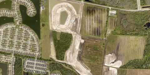
Project facts and sources
Project information & sources
- Approvals & permits
New homes selling.
- Size & completion
Planned / reported: 745 homes
Cleared to live in: Not confirmed.
Homes sold: Not confirmed.
Up to 745 homes across the whole project, including 319 lots in the first two phases. A complete city list of homes cleared to live in is not confirmed.
Full completion unconfirmed.
- Things to know
The city originally approved Ardisia Park as Shell Pointe. A 2024 city report lists 319 home lots on 210.57 acres in the first two phases. The full 543.5-acre plan allows up to 745 single-family homes across four phases. Those are planned homes, not homes confirmed finished. Taylor Morrison, Ashton Woods and DRB Homes sell here.
The November 2025 plan shows 687 lots within the overall limit of 745 homes. The city approved the Phase 3–4 final lot map June 22, 2026, with conditions before recording. Clubhouse construction has a permit. On October 27, Taylor Morrison still advertised the clubhouse, pool and courts as planned or coming soon; opening and full completion are unconfirmed.
- What happens next
Before the Phase 3–4 plat can be recorded, the June 22 approval letter requires approved final inspections, the signed original map, survey-marker confirmation, a current title review and recorded association documents. County filing and completion of the clubhouse, pool and courts remain separate milestones.
- Sources
Sources checked: Oct 24, 2026
S-3-22. Parcels: 7308-00-00-0030, 7308-00-00-0050 and 7305-00-00-0030.
Original city case fields checked November 10, 2026. Current case statuses, application dates, issue dates and case-closure fields are separate facts. Building permits or file closure alone do not establish overall completion or permission to occupy.
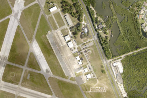 Satellite · reference point
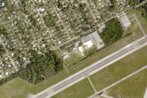 Satellite · reference point
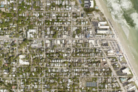 Satellite · reference point
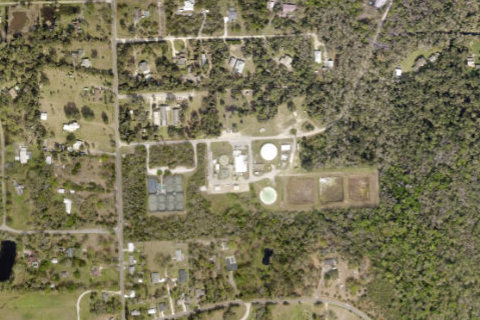 Satellite · reference point
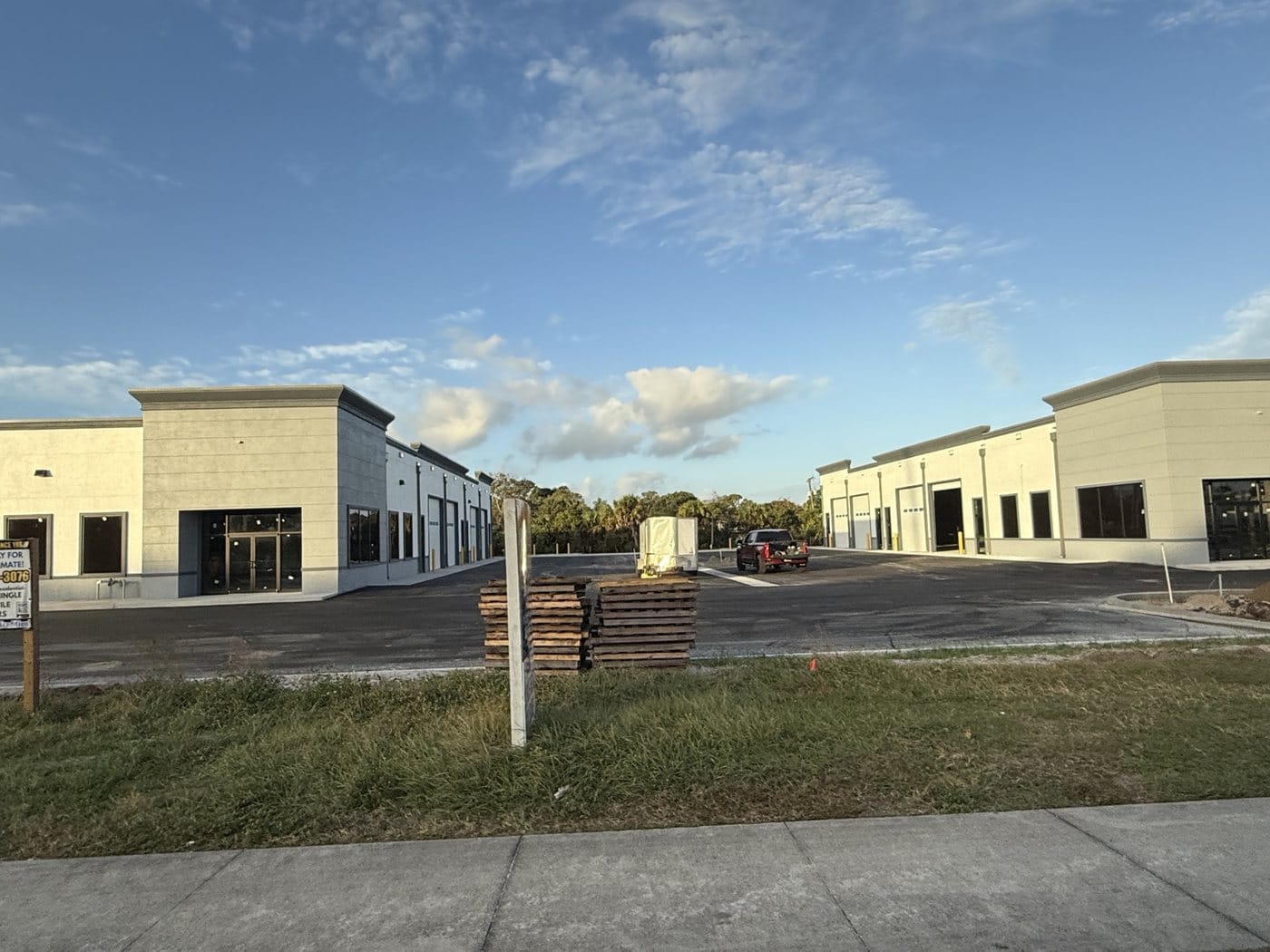 Photo
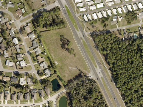 Satellite · reference point
Expand for details62 records · 4 vote records · 2 photos · map & project info
Timeline and votes
Decisions & project history
Newest firstEdgewater Building Services · Original inspection details
Drywall checks recorded as approved under both permits
Record details & sources
Permit 25-3108: 124 (WALLBORAD DRYWALL) — Approved. Permit 25-3109: 124 (WALLBORAD DRYWALL) — Approved. These dates come from the original Inspection Date fields, rather than scheduled dates or the opaque record-number suffixes. These individual results do not establish whole-building completion or occupancy. Public permit lookup · COMN inspection Details ↗
Individual city records (2)
Permit 25-3108 · COMN00071777726012800 · 124 (WALLBORAD DRYWALL) · Approved. Inspection Date: Oct 7, 2026. Scheduled Date: Oct 7, 2026. City activity 1869213.
Permit 25-3109 · COMN00071782726020500 · 124 (WALLBORAD DRYWALL) · Approved. Inspection Date: Oct 7, 2026. Scheduled Date: Oct 7, 2026. City activity 1869221.
Edgewater Development Services · Project update
First Business Park: city report update
Record details & sources
The business-development plan is approved; building permits 25-3108 and 25-3109 are listed.
Original public property or project record
Further underground utility easement recorded
Record details & sources
Instrument 2026171860 records a First Business Park LLC utility easement to Florida Power & Light at Book 8906 page 3892. The described easement covers a portion of Parcel 2B and grants installation, access and continuing utility rights. Its $10 stamped transfer amount is not a construction cost, and recording is not evidence that the electrical facilities were completed or energized. Original FPL easement · instrument 2026171860 ↗
Edgewater Building Services · Original inspection details
City details record construction inspections
Record details & sources
Permit 25-3108: 210 (ELECTRIC UNDERGROUND PIPING) — Approved. Permit 25-3109: 210 (ELECTRIC UNDERGROUND PIPING) — Approved. These dates come from the original Inspection Date fields, rather than scheduled dates or the opaque record-number suffixes. These individual results do not establish whole-building completion or occupancy. Public permit lookup · COMN inspection Details ↗
Individual city records (2)
Permit 25-3108 · COMN00071777726012800 · 210 (ELECTRIC UNDERGROUND PIPING) · Approved. Inspection Date: Sep 14, 2026. Scheduled Date: Sep 14, 2026. City activity 1862556.
Permit 25-3109 · COMN00071782726020500 · 210 (ELECTRIC UNDERGROUND PIPING) · Approved. Inspection Date: Sep 14, 2026. Scheduled Date: Sep 14, 2026. City activity 1862572.
Edgewater Building Services · Original inspection details
City details record construction inspections
Record details & sources
Permit 25-3108: 105 (FRAMING) — Approved. These dates come from the original Inspection Date fields, rather than scheduled dates or the opaque record-number suffixes. These individual results do not establish whole-building completion or occupancy. Public permit lookup · COMN inspection Details ↗
Individual city records (1)
Permit 25-3108 · COMN00071777726012800 · 105 (FRAMING) · Approved. Inspection Date: Sep 1, 2026. Scheduled Date: Sep 1, 2026. City activity 1859396.
Edgewater Building Services · Original inspection details
City details record construction inspections
Record details & sources
Permit 25-3109: 105 (FRAMING) — Approved. The detail notes: Small area at fire room and overhead at entrance. These dates come from the original Inspection Date fields, rather than scheduled dates or the opaque record-number suffixes. These individual results do not establish whole-building completion or occupancy. Public permit lookup · COMN inspection Details ↗
Individual city records (1)
Permit 25-3109 · COMN00071782726020500 · 105 (FRAMING) · Approved. Inspection Date: Aug 31, 2026. Scheduled Date: Aug 31, 2026. Detail comment: Small area at fire room and overhead at entrance. City activity 1859271.
Water management district · Original project record
Separate landscape-irrigation well permit issued
Record details & sources
The original well permit form for IW-256229-1 records issue on August 28, 2026 and expiration November 26, 2026. Its conditions require a completion report within 30 days of completed well construction and separate permission for irrigation-system installation or repair. This authorizes the described well work; it does not prove the well was drilled, the proposed depths achieved, a completion report filed, irrigation-system approval or occupancy of the buildings. Original district document 8945354 ↗ · Original delegated well-permit conditions ↗ · Original well-permit cover package ↗
Edgewater Building Services · Original inspection details
City details record construction inspections
Record details & sources
Permit 25-3108: 121 (WINDOW BUCK) — Approved. These dates come from the original Inspection Date fields, rather than scheduled dates or the opaque record-number suffixes. These individual results do not establish whole-building completion or occupancy. Public permit lookup · COMN inspection Details ↗
Individual city records (1)
Permit 25-3108 · COMN00071777726012800 · 121 (WINDOW BUCK) · Approved. Inspection Date: Aug 27, 2026. Scheduled Date: Aug 27, 2026. City activity 1858505.
Original public property or project record
Separate fence/wall record shows an approved lintel check
Record details & sources
The original detail for activity 1858497 under CFEN00073964926082000 / permit 26-1994 records an August 27 Inspection Date and Approved result for 104 (LINTEL). The county describes this separate permit as a concrete retaining wall. The check does not establish completion of the entire wall, the two buildings or tenant spaces, and its PermitNoContractor header is an administrative label separate from the recorded contractor notice. Public city lookup · enter 26-1994 and open activity 1858497 ↗
CFEN00073964926082000 · 104 (LINTEL) · Approved. Inspection Date: Aug 27, 2026. Scheduled Date: Aug 27, 2026. City activity 1858497.
Water management district · Original project record
District records receipt of the separate well application
Record details & sources
The public district record for IW-256229-1 records receipt on August 25, 2026. It identifies First Business Park LLC at the matching address and Jon’s Well and Pump Services as well contractor. The original form names licensed well contractor Jonathan Morin. These are well-specific roles and do not establish the general contractor for either business-park building. Original district document 8945354 ↗ · Public regulatory search · IW-256229-1 well record ↗
Water management district · Original project record
Landscape-irrigation well application form dated
Record details & sources
The original form bears an August 24, 2026 contractor signature/date and proposes one landscape-irrigation well at 2360 South Ridgewood Avenue, parcel 840200000420. It estimates 150 feet depth, 80 feet casing and 4-inch primary casing diameter. Those are proposed dimensions, not an as-built completion report. The application date is distinct from the next-day portal receipt and August 28 permit issuance. Original district document 8945354 ↗
Water management district · Original record
Well application fee received
Record details & sources
Original Volusia County DOH receipt records $90 well application fee and Jon’s Well and Pump Services as well contractor. Separate fromAugust 25receipt/August 28issuance; no as-built well completion. Original district document 8941164 ↗
Edgewater Building Services · Original inspection details
Footing record notes a separate stem-wall permit requirement
Record details & sources
Permit 25-3109: 101 (FOOTING) — Partially approved. The detail notes: Stem wall needs it's own permit, once issued, ok to approve footing inspection. These dates come from the original Inspection Date fields, rather than scheduled dates or the opaque record-number suffixes. These individual results do not establish whole-building completion or occupancy. Public permit lookup · COMN inspection Details ↗
Individual city records (1)
Permit 25-3109 · COMN00071782726020500 · 101 (FOOTING) · Partially approved. Inspection Date: Aug 17, 2026. Scheduled Date: Aug 17, 2026. Detail comment: Stem wall needs it's own permit, once issued, ok to approve footing inspection. City activity 1855592.
Edgewater Building Services · Original inspection details
City details record construction inspections
Record details & sources
Permit 25-3109: 121 (WINDOW BUCK) — Approved. Permit 25-3109: 405 (MECHANICAL ROUGH) — Approved. These dates come from the original Inspection Date fields, rather than scheduled dates or the opaque record-number suffixes. These individual results do not establish whole-building completion or occupancy. Public permit lookup · COMN inspection Details ↗
Individual city records (2)
Permit 25-3109 · COMN00071782726020500 · 121 (WINDOW BUCK) · Approved. Inspection Date: Jul 31, 2026. Scheduled Date: Jul 31, 2026. City activity 1851955.
Permit 25-3109 · COMN00071782726020500 · 405 (MECHANICAL ROUGH) · Approved. Inspection Date: Jul 31, 2026. Scheduled Date: Jul 31, 2026. City activity 1851948.
Edgewater Building Services · Original inspection details
City details record construction inspections
Record details & sources
Permit 25-3108: 104 (LINTEL) — Approved. These dates come from the original Inspection Date fields, rather than scheduled dates or the opaque record-number suffixes. These individual results do not establish whole-building completion or occupancy. Public permit lookup · COMN inspection Details ↗
Individual city records (1)
Permit 25-3108 · COMN00071777726012800 · 104 (LINTEL) · Approved. Inspection Date: Jun 24, 2026. Scheduled Date: Jun 24, 2026. City activity 1843226.
Edgewater Building Services · Original inspection details
Construction checks record partial approvals
Record details & sources
Permit 25-3109: 104 (LINTEL) — Partially approved. The detail notes: Approved for the third lift on the second building These dates come from the original Inspection Date fields, rather than scheduled dates or the opaque record-number suffixes. These individual results do not establish whole-building completion or occupancy. Public permit lookup · COMN inspection Details ↗
Individual city records (1)
Permit 25-3109 · COMN00071782726020500 · 104 (LINTEL) · Partially approved. Inspection Date: Jun 19, 2026. Scheduled Date: Jun 19, 2026. Detail comment: Approved for the third lift on the second building City activity 1842095.
Edgewater Building Services · Original inspection details
Construction checks record partial approvals
Record details & sources
Permit 25-3109: 104 (LINTEL) — Partially approved. The detail notes: 2nd lift ok These dates come from the original Inspection Date fields, rather than scheduled dates or the opaque record-number suffixes. These individual results do not establish whole-building completion or occupancy. Public permit lookup · COMN inspection Details ↗
Individual city records (1)
Permit 25-3109 · COMN00071782726020500 · 104 (LINTEL) · Partially approved. Inspection Date: Jun 16, 2026. Scheduled Date: Jun 16, 2026. Detail comment: 2nd lift ok City activity 1841360.
Edgewater Building Services · Original inspection details
Construction checks record partial approvals
Record details & sources
Permit 25-3108: 104 (LINTEL) — Partially approved. The detail notes: 3rd lift These dates come from the original Inspection Date fields, rather than scheduled dates or the opaque record-number suffixes. These individual results do not establish whole-building completion or occupancy. Public permit lookup · COMN inspection Details ↗
Individual city records (1)
Permit 25-3108 · COMN00071777726012800 · 104 (LINTEL) · Partially approved. Inspection Date: Jun 9, 2026. Scheduled Date: Jun 9, 2026. Detail comment: 3rd lift City activity 1838770.
Edgewater Building Services · Original inspection details
Construction checks record partial approvals
Record details & sources
Permit 25-3108: 104 (LINTEL) — Partially approved. The detail notes: 2nd lift Permit 25-3108: 106 (STRUCTURAL COLUMN) — Partially approved. The detail notes: 2nd lift Permit 25-3109: 104 (LINTEL) — Partially approved. The detail notes: 2nd lift These dates come from the original Inspection Date fields, rather than scheduled dates or the opaque record-number suffixes. These individual results do not establish whole-building completion or occupancy. Public permit lookup · COMN inspection Details ↗
Individual city records (3)
Permit 25-3108 · COMN00071777726012800 · 104 (LINTEL) · Partially approved. Inspection Date: Jun 5, 2026. Scheduled Date: Jun 5, 2026. Detail comment: 2nd lift City activity 1838291.
Permit 25-3108 · COMN00071777726012800 · 106 (STRUCTURAL COLUMN) · Partially approved. Inspection Date: Jun 5, 2026. Scheduled Date: Jun 5, 2026. Detail comment: 2nd lift City activity 1838358.
Permit 25-3109 · COMN00071782726020500 · 104 (LINTEL) · Partially approved. Inspection Date: Jun 5, 2026. Scheduled Date: Jun 5, 2026. Detail comment: 2nd lift City activity 1838614.
Edgewater Building Services · Original inspection details
City details record construction inspections
Record details & sources
Permit 25-3108: 104 (LINTEL) — Approved. These dates come from the original Inspection Date fields, rather than scheduled dates or the opaque record-number suffixes. These individual results do not establish whole-building completion or occupancy. Public permit lookup · COMN inspection Details ↗
Individual city records (1)
Permit 25-3108 · COMN00071777726012800 · 104 (LINTEL) · Approved. Inspection Date: Jun 3, 2026. Scheduled Date: Jun 3, 2026. City activity 1837624.
Edgewater Building Services · Original inspection details
City details record construction inspections
Record details & sources
Permit 25-3109: 104 (LINTEL) — Approved. The detail notes: 1st lift These dates come from the original Inspection Date fields, rather than scheduled dates or the opaque record-number suffixes. These individual results do not establish whole-building completion or occupancy. Public permit lookup · COMN inspection Details ↗
Individual city records (1)
Permit 25-3109 · COMN00071782726020500 · 104 (LINTEL) · Approved. Inspection Date: Jun 2, 2026. Scheduled Date: Jun 2, 2026. Detail comment: 1st lift City activity 1837327.
Edgewater Building Services · Original inspection details
Construction checks record partial approvals
Record details & sources
Permit 25-3108: 104 (LINTEL) — Partially approved. The detail notes: 1st lift. These dates come from the original Inspection Date fields, rather than scheduled dates or the opaque record-number suffixes. These individual results do not establish whole-building completion or occupancy. Public permit lookup · COMN inspection Details ↗
Individual city records (1)
Permit 25-3108 · COMN00071777726012800 · 104 (LINTEL) · Partially approved. Inspection Date: Jun 1, 2026. Scheduled Date: Jun 1, 2026. Detail comment: 1st lift. City activity 1836709.
Edgewater Building Services · Original inspection details
City details record construction inspections
Record details & sources
Permit 25-3109: 102 (SLAB MONO OR STRUCTURAL) — Approved. These dates come from the original Inspection Date fields, rather than scheduled dates or the opaque record-number suffixes. These individual results do not establish whole-building completion or occupancy. Public permit lookup · COMN inspection Details ↗
Individual city records (1)
Permit 25-3109 · COMN00071782726020500 · 102 (SLAB MONO OR STRUCTURAL) · Approved. Inspection Date: May 15, 2026. Scheduled Date: May 15, 2026. City activity 1833573.
Edgewater Building Services · Original inspection details
City details record construction inspections
Record details & sources
Permit 25-3108: 102 (SLAB MONO OR STRUCTURAL) — Approved. These dates come from the original Inspection Date fields, rather than scheduled dates or the opaque record-number suffixes. These individual results do not establish whole-building completion or occupancy. Public permit lookup · COMN inspection Details ↗
Individual city records (1)
Permit 25-3108 · COMN00071777726012800 · 102 (SLAB MONO OR STRUCTURAL) · Approved. Inspection Date: May 14, 2026. Scheduled Date: May 14, 2026. City activity 1833094.
Edgewater Building Services · Original inspection details
City details record construction inspections
Record details & sources
Permit 25-3108: 306 (SEWER) — Approved. Permit 25-3109: 306 (SEWER) — Approved. These dates come from the original Inspection Date fields, rather than scheduled dates or the opaque record-number suffixes. These individual results do not establish whole-building completion or occupancy. Public permit lookup · COMN inspection Details ↗
Individual city records (2)
Permit 25-3108 · COMN00071777726012800 · 306 (SEWER) · Approved. Inspection Date: May 11, 2026. Scheduled Date: May 11, 2026. City activity 1831874.
Permit 25-3109 · COMN00071782726020500 · 306 (SEWER) · Approved. Inspection Date: May 11, 2026. Scheduled Date: May 11, 2026. City activity 1831882.
Edgewater Building Services · Original inspection details
City details record construction inspections
Record details & sources
Permit 25-3109: 210 (ELECTRIC UNDERGROUND PIPING) — Approved. These dates come from the original Inspection Date fields, rather than scheduled dates or the opaque record-number suffixes. These individual results do not establish whole-building completion or occupancy. Public permit lookup · COMN inspection Details ↗
Individual city records (1)
Permit 25-3109 · COMN00071782726020500 · 210 (ELECTRIC UNDERGROUND PIPING) · Approved. Inspection Date: May 6, 2026. Scheduled Date: May 6, 2026. City activity 1830074.
Edgewater Building Services · Original inspection details
City details record construction inspections
Record details & sources
Permit 25-3108: 210 (ELECTRIC UNDERGROUND PIPING) — Approved. These dates come from the original Inspection Date fields, rather than scheduled dates or the opaque record-number suffixes. These individual results do not establish whole-building completion or occupancy. Public permit lookup · COMN inspection Details ↗
Individual city records (1)
Permit 25-3108 · COMN00071777726012800 · 210 (ELECTRIC UNDERGROUND PIPING) · Approved. Inspection Date: Apr 30, 2026. Scheduled Date: Apr 30, 2026. City activity 1827948.
Edgewater Building Services · Original inspection details
City details record construction inspections
Record details & sources
Permit 25-3109: 301 (1 ST ROUGH PLUMBING) — Approved. These dates come from the original Inspection Date fields, rather than scheduled dates or the opaque record-number suffixes. These individual results do not establish whole-building completion or occupancy. Public permit lookup · COMN inspection Details ↗
Individual city records (1)
Permit 25-3109 · COMN00071782726020500 · 301 (1 ST ROUGH PLUMBING) · Approved. Inspection Date: Apr 29, 2026. Scheduled Date: Apr 29, 2026. City activity 1827591.
Edgewater Building Services · Original inspection details
City details record construction inspections
Record details & sources
Permit 25-3108: 301 (1 ST ROUGH PLUMBING) — Approved. These dates come from the original Inspection Date fields, rather than scheduled dates or the opaque record-number suffixes. These individual results do not establish whole-building completion or occupancy. Public permit lookup · COMN inspection Details ↗
Individual city records (1)
Permit 25-3108 · COMN00071777726012800 · 301 (1 ST ROUGH PLUMBING) · Approved. Inspection Date: Apr 28, 2026. Scheduled Date: Apr 28, 2026. City activity 1826791.
Edgewater Building Services · Original inspection details
City details record construction inspections
Record details & sources
Permit 25-3109: 101 (FOOTING) — Approved. Permit 25-3109: 203 (CONCRETE ENCASED ELECTRONDE) — Approved. These dates come from the original Inspection Date fields, rather than scheduled dates or the opaque record-number suffixes. These individual results do not establish whole-building completion or occupancy. Public permit lookup · COMN inspection Details ↗
Individual city records (2)
Permit 25-3109 · COMN00071782726020500 · 203 (CONCRETE ENCASED ELECTRONDE) · Approved. Inspection Date: Apr 20, 2026. Scheduled Date: Apr 20, 2026. City activity 1823970.
Permit 25-3109 · COMN00071782726020500 · 101 (FOOTING) · Approved. Inspection Date: Apr 20, 2026. Scheduled Date: Apr 20, 2026. City activity 1823962.
Edgewater Building Services · Original inspection details
City details record construction inspections
Record details & sources
Permit 25-3108: 101 (FOOTING) — Approved. Permit 25-3108: 203 (CONCRETE ENCASED ELECTRONDE) — Approved. These dates come from the original Inspection Date fields, rather than scheduled dates or the opaque record-number suffixes. These individual results do not establish whole-building completion or occupancy. Public permit lookup · COMN inspection Details ↗
Individual city records (2)
Permit 25-3108 · COMN00071777726012800 · 203 (CONCRETE ENCASED ELECTRONDE) · Approved. Inspection Date: Apr 15, 2026. Scheduled Date: Apr 15, 2026. City activity 1822899.
Permit 25-3108 · COMN00071777726012800 · 101 (FOOTING) · Approved. Inspection Date: Apr 15, 2026. Scheduled Date: Apr 15, 2026. City activity 1822345.
FDEP · Original public document
Construction stormwater coverage takes effect
Record details & sources
March 5 acknowledgment verifies FLR10YH86-001 CGP coverage effective March 8,2026 through March 7,2031, subject to conditions, earlier termination or revocation. Conditions include SWPPP, BMPs, routine inspections and retained records; coverage is not a final building inspection or occupancy certificate. FDEP public catalog · document 29.593307.1 ↗
FDEP · Original public document
Construction stormwater NOI and acknowledgment
Record details & sources
NOI signed March 5 names Commercial Construction Inc as operator, describes 3.05acres of planned disturbance and planned March 7–August 11 construction. FDEP acknowledgment verifies complete NOI and paid fee. These planned dates do not establish actual start or completion. FDEP public catalog · document 29.593306.1 ↗ · Supporting original · 29.593307.1 ↗
FDEP · Original public document
Construction stormwater compliance authority delegated
Record details & sources
Commercial Construction Inc project manager David Davis designates Chris McCormick of UES Professional Solutions LLC for environmental compliance and required CGP documents. This is a defined compliance role, not a change in owner or a general construction completion. FDEP public catalog · document 29.593308.1 ↗
Original public property or project record
Notice names contractor for the two shell buildings
Record details & sources
Recorded instrument 2026031980, Book 8817 page 2061, expressly lists permits 25-3108 and 25-3109 for two shell buildings at 2360 South Ridgewood Avenue. It names First Business Park LLC and contractor Gary Roberts / Commercial Construction Inc. This is a recorded notice and dated role evidence, not proof that physical construction began on the recording date or that all work is complete. Recorded notice of commencement · instrument 2026031980 ↗
Original public property or project record
Stormwater permit notice recorded
Record details & sources
Instrument 2026004564 records the notice of already issued ERP 114741-2 at Book 8801 page 1813. It alerts later interest-holders to the permit and its transfer, completion-reporting and other obligations. The district permit was issued October 9, 2025; this recording is not another issuance, an as-built acceptance or a building occupancy certificate. Recorded ERP notice · instrument 2026004564 ↗
Water management district · Original record
ERP record notice executed
Record details & sources
District notice of114741-2 executedNovember 5, later recordedJanuary 9,2026 as2026004564. Neither date changesOctober 9permit issuance. Original district document 8732078 ↗
Water management district · Original project record
District issues the current stormwater-system permit
Record details & sources
ERP 114741-2 authorizes construction and operation of a stormwater management system for a 3.68-acre First Business Park project and has a five-year construction term, with October 9, 2030 expiry shown in the case. The technical report separately lists 3.94 acres owned/project in its header table. It assesses an entirely upland site with no proposed wetland impacts under this permit. Requirements include 48-hour commencement notice, rough-grading retention/detention before building or impervious work, and as-built reporting after completion. Issuance is not proof those conditions were fulfilled, a building-final approval or an occupancy certificate. Original district document 8649912 ↗ · Original 2025 technical report · areas, predecessor history and environmental assessment ↗
Water management district · Original project record
Issued permit identifies the final reviewed plan package
Record details & sources
The issued ERP authorizes its stormwater scope using plans received October 7, 2025, including Pond Sheet E-1 received the prior day. These are the document receipt dates recited by the permit; they do not establish that the system was constructed, accepted or placed into operation. Original district document 8649912 ↗
Water management district · Original project record
Issued permit identifies receipt of the revised pond sheet
Record details & sources
The later original issued permit expressly includes Pond Sheet E-1 received October 6, 2025 among its authorized documents. This date is the district-reported receipt of a design sheet, not a separate construction inspection or the permit issuance date. Original district document 8649912 ↗
Water management district · Original record
District identifies remaining pond-design questions
Record details & sources
Actual District email and attached partial-response comments find questions1,2,3,5 addressed but require pond-wall access protection, groundwater/underdrain elevations, filter and cleanout details under question4. Original district document 8640520 ↗ · Supporting original · 8640535 ↗
Water management district · Original record
RAI response and maintenance manual prepared
Record details & sources
Tri-State response dated September 9 and Randy Hudak professionally signed O&M manual address proposed maintenance/financial requirements. District subsequently refers to September 10 receipt. Manual contains a stray Drury Development Corporation reference inconsistent with First Business Park owner text; That inconsistent reference does not establish a role for the other company. Original district document 8621792 ↗ · Supporting original · 8621799 ↗
Water management district · Original project record
District requests applicant, geotechnical and drainage revisions
Record details & sources
The original information request asks for the landowner as applicant with signatory authority, signed and sealed plans/calculations, site-specific geotechnical data, and revised retention/underdrain routing and statewide-rule compliance information. The letter labels the application 238899-1, while the later issued permit and linked current case identify 114741-2; that source identifier difference is retained without creating a separate project. The request is a review step, not a final violation or denial. Original district document 8599168 ↗
Edgewater City Council · Decision
Business-park site plan approved · SP-2415
Approved 3–2Who voted?
Diezel DePew NOCharlotte Gillis NOMike Thomas YESDebbie Dolbow YESEric Rainbird YESRecord details & sources
Water management district · Original record
State historic-preservation review
Record details & sources
DHR2025-5162 lists238899-1 First Business Park, finds historic properties unlikely affected, and requires unexpected-discovery protections. This does not certify all conditions satisfied. Original district document 8584970 ↗
Water management district · Original record
District application fee received
Record details & sources
Original receipt P127219 records $490 application fee; reference 238899-1 is the source identifier while later issued ERP is114741-2. Original district document 8570941 ↗
Water management district · Original project record
Current stormwater application recorded as received
Record details & sources
The public district case records receipt of the current First Business Park application on July 16, 2025. The issued case is ERP 114741-2, current record 238899, with First Business Park LLC as owner/applicant and Tri-State Engineering Consultants in the engineering roles. Receipt is not permit issuance or proof of construction. Original district document 8649897 ↗ · Public regulatory search · First Business Park 114741-2 ↗
Edgewater Planning and Zoning Board · Recommendation
Board recommends business-park site plan · SP-2415
Approved 5–0Who voted?
Thomas Duane YESChris Hatcher YESRobert Andrejkovics YESPatrick Fisher YESGeorge Kennedy YESRecord details & sources
Edgewater staff · Technical review
Staff records technical-review comments satisfied
Record details & sources
The SP-2415 narrative records all Technical Review Committee comments returned and satisfied as of July 7, 2025. The plan requires operations inside the units and no outdoor operations. This technical-review milestone preceded the existing July 9 recommendation and August 4 council approval; it is not a building permit, construction-completion or occupancy decision. Original SP-2415 staff narrative ↗
Edgewater staff · Technical review
Third business-park site-plan submittal circulated for review
Record details & sources
The SP-2415 staff narrative records receipt of the third submittal and circulation to the Technical Review Committee on June 30, 2025. Review addressed flexible commercial uses and traffic generation rather than assuming all workspace functioned as mini-warehousing. Staff said a full transportation impact analysis was not required at that review stage; that statement is not treated as a permanent waiver of other access, traffic or permit requirements. Original SP-2415 staff narrative ↗
Original public property or project record
Underground utility easement recorded
Record details & sources
Instrument 2025106593 records an underground electric-utility easement from First Business Park LLC to Florida Power & Light at Book 8713 pages 455–456. Its exhibit is a defined strip associated with parcel 840200000420 and the prior recorded deed; the rights concern utility construction, operation and maintenance. The $1 stamp/consideration is not a land acquisition price or proof that the facilities were installed. Original FPL easement · instrument 2025106593 ↗
Original public property or project record
Project drawings describe two shell buildings
Record details & sources
The publicly supplied drawing cover is dated May 9, 2025 and says “100% Project Drawings” for two new shell buildings, with interior work under future separate permits. It names Commercial Construction Inc., Gary Roberts, as general contractor and BPF Design Inc. for building design. The drawing-stage label and broker filename are not a city approval stamp or a claim that construction was complete. Later city architectural sheets are separately dated June 30. Publicly supplied project drawing set · cover May 9, 2025 ↗
Water management district · Original record
Retention recovery analysis dated
Record details & sources
UES models recovery for the proposed retention area and recommends underdrains. Predicted performance assumes recommended installation; it is not an as-built certification. Original district document 8621798 ↗
Original public property or project record
Signed ordinance and BPUD agreement recorded
Record details & sources
Instrument 2024231456 records Ordinance 2024-O-44 and its signed BPUD agreement at Book 8639 pages 3721–3742. The agreement has a thirty-year duration and a twenty-four-month commencement requirement with a specific water/waste conveyance-work definition; clearing alone is not its stated construction definition. Its older Shree Jaybhola owner recital remains distinct from the already recorded First Business Park LLC deed. Recording does not certify every condition’s fulfillment or the later tenant buildouts. Recorded ordinance and BPUD · public document copy ↗ · Official Records index · instrument 2024231456 ↗
Edgewater staff · Site-plan application history
Staff records initial site-plan and traffic-statement submittal
Record details & sources
The SP-2415 narrative places the initial submittal and traffic impact statement on December 2, 2024. Later review reduced the 24-unit concept to 20 units in two 16,320-square-foot buildings: four 2,400-square-foot retail units and sixteen workspace units. Staff reports that direct U.S. 1 access was removed following FDOT consultation, leaving access from Oak Branch Drive. These site-plan facts are separate from the same-day zoning vote. Original SP-2415 staff narrative ↗
Edgewater City Council · Zoning ordinance
Council approves the December second reading of Ordinance 2024-O-44
Approved 5–0Who voted? · expressly recorded in the dated minutes
Diezel DePew YESCharlotte Gillis YESDebbie Dolbow YESMike Thomas YESJonah Wilkie YESRecord details & sources
The December 2 final minutes record the public hearing and approval of Ordinance 2024-O-44, changing the approximately 3.679-acre site from B-3 to BPUD. Debbie Dolbow moved approval and Mike Thomas seconded; all five named members voted yes. The later SP-2415 staff narrative identifies December 2 as adoption. The uploaded ordinance/agreement attachment has blank adoption and execution fields, so it is not evidence of a signed or recorded final agreement. The zoning framework does not itself authorize the later buildings or establish occupancy. Original December 2, 2024 council minutes ↗ · 2024-O-44 case · unsigned ordinance/agreement attachment ↗
Original public property or project record
Developer signs the BPUD agreement
Record details & sources
The recorded copy bears Vincenzo Donnici’s December 2 acknowledgment and the city mayor’s and clerk’s signatures, which have no separate written date on their signature block. The ordinance’s signed adoption page identifies September 9 as first reading and December 2 as adoption. These document facts are distinct from the older minutes’ conflicting reading label and do not change the existing recorded ballots. Recorded ordinance and BPUD · public document copy ↗ · Official Records index · instrument 2024231456 ↗
Water management district · Original record
Geotechnical stormwater evaluation dated
Record details & sources
UES Professional Solutions report for Donnici Business Park at 2360 S Ridgewood describes two 20-foot SPT borings and groundwater findings. Report date does not establish a separate exact fieldwork day. Original district document 8621800 ↗
Edgewater City Council · Earlier zoning action
Council records an earlier approval vote on Ordinance 2024-O-44
Approved 5–0; reading designation conflictsWho voted? · expressly recorded in the dated minutes
Diezel DePew YESCharlotte Gillis YESGigi Bennington YESDebbie Dolbow YESJonah Powers YESRecord details & sources
The final September 9 minutes record approval of Ordinance 2024-O-44 on a motion by Jonah Powers, seconded by Gigi Bennington, with all five named members voting yes. The agenda labels this first reading while the final minutes call it second reading; the reading-number discrepancy remains unresolved. The later December 2 minutes separately record the second-reading approval, so this September vote is not silently treated as the final adoption date. Original September 9, 2024 council minutes ↗ · September 9 agenda · first-reading label ↗
Volusia County Clerk · Recorded original
First Business Park LLC deed recorded
Record details & sources
The warranty deed from Shree Jaybhola, Inc. to First Business Park LLC is dated and acknowledged June 28, 2024 and was recorded August 27 at book 8600/page 3273. The header identifies parcel 840200000420; its exhibit gives updated Parcel 2A and 2B legal descriptions and expressly references the earlier book 8468/page 3895 descriptions. The stamp lists a $525,000 transfer amount. That amount is not a verified final construction cost or a complete title-chain certification. Clerk instrument 2024166687 · public online copy ↗ · County index · separately attributed dates and values ↗
Edgewater staff · Earlier zoning history
Staff records a favorable earlier rezoning recommendation
Record details & sources
The 2024-O-44 staff narrative records an August 14 Planning and Zoning Board recommendation in favor of changing the approximately 3.679-acre site from B-3 Highway Commercial to BPUD, with six in favor, none opposed and one absent. This entry follows the later staff recital; original board minutes and individual ballots remain unverified. This earlier zoning framework is distinct from the later 3.05-acre SP-2415 site-plan review; the acreage difference is not resolved as gross versus net. Original 2024-O-44 staff narrative ↗
Original public property or project record
Current development acquisition deed executed
Record details & sources
The warranty deed was executed and acknowledged June 28, 2024, conveying the described Parcels 2A and 2B from Shree Jaybhola Inc. to First Business Park LLC. The original bears a $525,000 stamped transfer amount. It was recorded August 27 as instrument 2024166687; execution and recording are separate dates, and this property amount is not the final business-park construction cost. Original current acquisition deed · instrument 2024166687 ↗
Photos and map
Photos & map


Project facts and sources
Project information & sources
- People & companies
Owner / recorded grantee: First Business Park LLC · City applicant: Vincenzo Donnici · Engineer: Steve Syrcle / Tri-State Engineering Consultants · Contractor named in recorded notice: Commercial Construction Inc. / Gary Roberts Recorded contractor notice ↗
The warranty deed dated June 28, 2024 and recorded August 27 as instrument 2024166687 conveys the described Parcels 2A and 2B from Shree Jaybhola Inc. to First Business Park LLC. Its stamped transfer amount is $525,000. Current county records identify First Business Park LLC for parcel 840200000420. This is the current development’s acquisition and ownership context; the recorded BPUD’s older owner recital is retained as a dated source inconsistency, not substituted for the deed. Current grantee deed ↗ · Current reference parcel ↗
The recorded February 2026 commencement notice expressly identifies both shell-building permits and Commercial Construction Inc. / Gary Roberts. The architectural drawing cover also identifies that contractor; BPF Design Inc. with architect Dallas B. Peacock and project manager Brian P. Predley; civil engineer Steven Wayne Syrcle; Culliver Design for landscape architecture; Bora Erbilen for structural engineering; and Mohsen Faraji P.A. for mechanical, electrical and plumbing engineering. These are dated document roles, not proof of every subcontract award or current licensing. FDEP separately names Commercial Construction Inc. as stormwater operator and delegates environmental-compliance functions to Chris McCormick / UES Professional Solutions LLC. Jon’s Well and Pump Services / Jonathan Morin is named for well work only. Original city architectural sheets ↗ · Public project-drawing cover ↗ · FDEP operator/delegation documents ↗ · Well-contractor form ↗
- Approvals & permits
The city records construction inspections under permits 25-3108 and 25-3109 through October 7, 2026, when drywall checks were Approved. The June 2025 architecture describes shell buildings and future tenant work under separate permits; the later drywall results remain independent recorded inspections and do not establish approval or completion of all tenant interiors. Formal building finals and city occupancy certificates remain unverified. The stormwater ERP, separate irrigation-well permit and FDEP construction-stormwater coverage have different scopes. Public city permits and inspection details ↗ · Issued stormwater ERP ↗
The recorded copy of Ordinance 2024-O-44 and its BPUD agreement bears the mayor’s and clerk’s signatures and Donnici’s December 2, 2024 acknowledgment; it was recorded December 5 as instrument 2024231456. The signed ordinance identifies September 9 as first reading and December 2 as adoption, while the older September minutes use a conflicting reading label. The agreement sets a thirty-year duration and a twenty-four-month commencement requirement with a specific water/waste-system construction definition. Those terms do not independently prove all conditions satisfied or resolve current legal validity. The agreement’s older Shree Jaybhola owner recital remains separate from the August 2024 First Business Park LLC deed. Signed and recorded ordinance/BPUD ↗ · Official Records index ↗
FDEP acknowledged construction-stormwater coverage FLR10YH86-001 effective March 8, 2026 through March 7, 2031, subject to applicable conditions and earlier termination or revocation. The NOI’s March 7–August 11 construction dates are proposed, not verified performed dates. SWPPP, inspection and other continuing duties remain. The issued ERP’s notice, sequencing and completion/as-built conditions are distinct obligations; the October 7, 2025 signature-email exchange supports its final plan package without adding another permit issuance. A matching public well completion report and an independently linked FDOT approval were not located in the reviewed public records; this does not establish no well work or no FDOT approval. FDEP original document catalog ↗ · ERP conditions ↗ · Separate well conditions ↗ · October 7 signature correspondence ↗
- Size & completion
The current city site plan has two 16,320-square-foot buildings and a 20-unit future layout, distinct from the earlier 24-unit BPUD framework. The zoning agreement describes approximately 3.679 acres, the city site plan and FDEP disturbance field 3.05 acres, the ERP authorization 3.68 acres and its report table 3.94 acres. No gross/net or exact-boundary explanation is inferred. The recorded agreement specifies ninety parking spaces including four ADA spaces for its framework; the later plan’s table provides eighty-one including four ADA spaces for the reduced layout. These dated source measures are not a claim of a separately documented waiver or completed parking count. Deed amounts, construction valuations, fees and balances are not a final paid project cost. Recorded BPUD parking requirements ↗ · Later city plan parking table ↗ · ERP technical report ↗ · NOI disturbance scope ↗
- Things to know
Photos received October 31, 2026 show enclosed buildings, garage doors and paving, with materials and unfinished frontage still visible. Interior completion and opening are unconfirmed. Capture dates unavailable.
Fresh city review retains all thirty-four main-permit details, including thirty-two actual-date results and two canceled requests with blank Inspection Date. Four additional permit numbers appear in the exact-parcel county index: retaining wall 26-1994, dumpster pads 26-1995 and fire-alarm/sprinkler monitoring 26-2415 and 26-2416. The original city wall record adds an August 27 Approved lintel detail; the other located ancillary lists return no inspection details in this check. County Date fields and amounts are not treated as verified city issuance, completion dates or final costs. Current main headers remain PermitFeesDue and PermitNoContractor; those administrative labels do not erase the independently recorded contractor role or establish invalidity, withdrawal or a work stop. No located public city record supplies final occupancy or proves that the required preconstruction meeting occurred. The site-plan staff narrative says direct U.S. 1 access was removed after FDOT consultation and access uses Oak Branch Drive. Its finding that a full transportation impact analysis was not required was specific to the reviewed proposal and stage, not a permanent access or traffic waiver. Public city inspection lookup ↗ · Separate county permit index ↗ · June 27 plan · access drawing ↗ · Later city site-plan staff narrative ↗
Individual city records (2)
Permit 25-3108 · COMN00071777726012800 · 104 (LINTEL) · Cancelled. No Inspection Date recorded. Scheduled Date: Jun 11, 2026. Detail comment: 4th lift ok. City activity 1839893.
Permit 25-3108 · COMN00071777726012800 · 104 (LINTEL) · Cancelled. No Inspection Date recorded. Scheduled Date: May 29, 2026. City activity 1836691.
Existing original council and board ballots remain unchanged. The earlier August 14, 2024 favorable recommendation and six-to-zero/one-absent tally remain attributed to the later staff report. The original public agenda identifies that item as RZ-2408; the current API uses 2024-O-44. The retrieved original records do not establish individual ballots for that recommendation. Later original July 9 and August 4 minutes continue to establish the named votes and the previously disclosed staff-count and seconder conflicts. Original meeting archive ↗
The current project’s district reports, geotechnical evaluations, maintenance documents and historic-preservation response have been reviewed within their stated scopes. Predicted retention recovery is not as-built performance, and a no-likely-effect historic-preservation finding retains unexpected-discovery conditions. One maintenance manual contains an inconsistent other-company reference and does not establish a project role for that company. The district’s current upland/no-wetland-impact assessment does not certify future conditions or protected-species compliance. Geotechnical report ↗ · Retention recovery analysis ↗ · Historic-preservation response ↗
- What happens next
The issued stormwater permits require continuing compliance, inspections and applicable completion/as-built reporting. Shell and tenant work remain distinct; formal building-final and occupancy records and separate well completion remain unverified. No approval or opening date is predicted. ERP obligations ↗ · Construction-stormwater documents ↗ · Building and ancillary inspections ↗
- Sources
Original public city, Clerk, district and FDEP records checked November 11, 2026 UTC. Older timeline source checks remain dated history. The latest performed inspection record remains October 7; newly reviewed documents and marketing estimates do not establish new construction activity.
Use the public city permit lookup for 25-3108, 25-3109, 26-1994, 26-1995, 26-2415 or 26-2416. Select the displayed companion record and open its individual inspection Details; the main records require both list pages. Standalone detail links may return the welcome page without that normal session. Normal public city lookup ↗
Earlier dated source references:
Earlier source record ↗ · Earlier source record ↗ · Earlier source record ↗
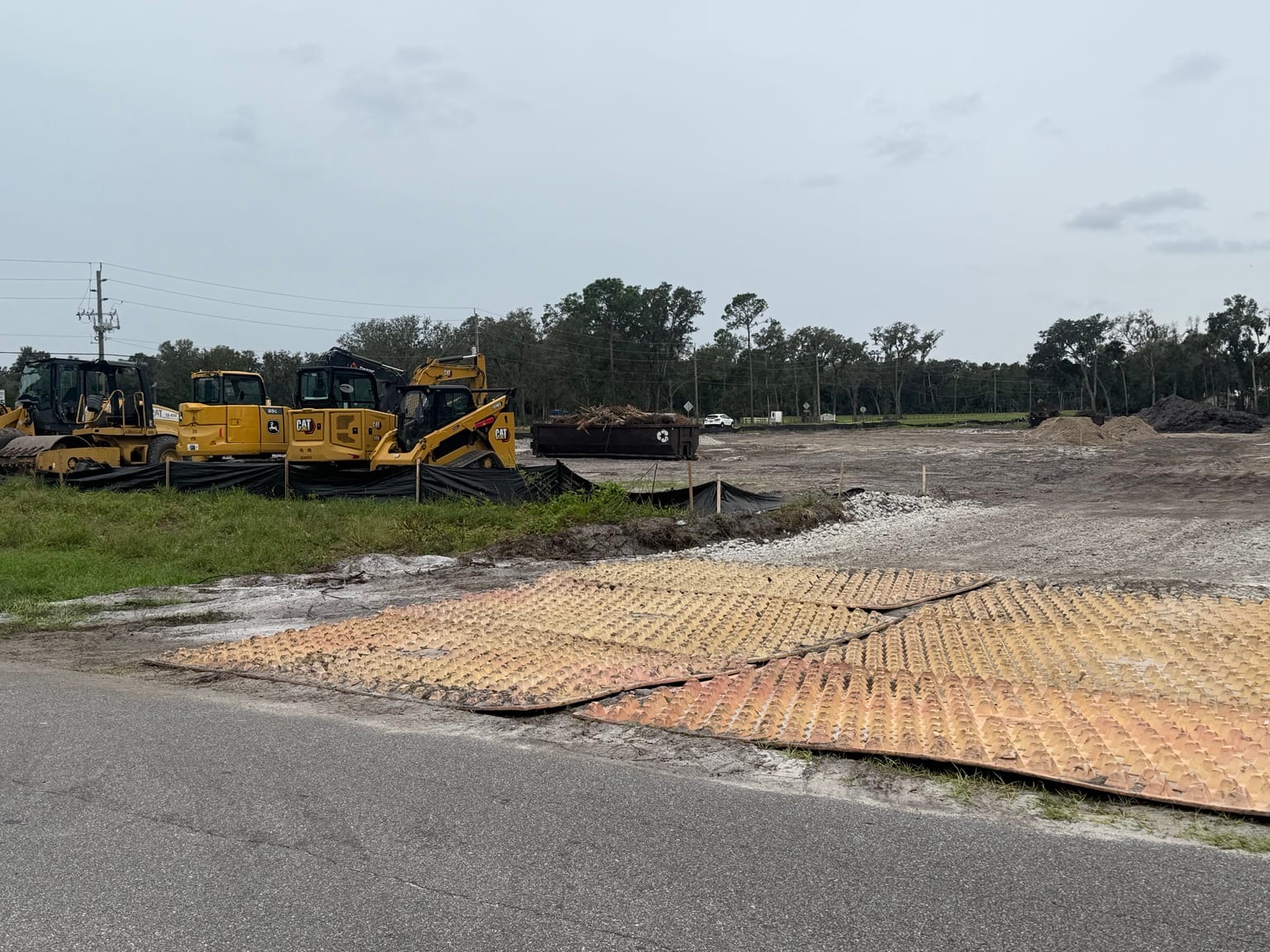 Photo
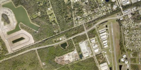 Satellite · reference point
Expand for details7 records · 5 vote records · 1 photo · map & project info
Timeline and votes
Decisions & project history
Newest firstCity project record · Application history
Pickleball-center application submitted · SP-2605
Record details & sources
Staff dates the major site-plan application March 27, 2026. DMG 104, LLC is the owner of the proposed indoor/outdoor pickleball facility with a yoga studio at 2945 W. Park Avenue.
Planning and Zoning Board · Recommendation
Planning board recommendation on new land-use rules
Recommendation passed 3–2Who voted?
Thomas Duane YESPatrick Fisher NOJames McGinnis NOGeorge Kennedy ABSENTRobert Andrejkovics YESChris Hatcher YESRecord details & sources
City Council · First review of the proposed law
2025-O-14: first vote passes
Passed 4–1Who voted?
Diezel DePew YESCharlotte Gillis NOMike Thomas YESDebbie Dolbow YESEric Rainbird YESRecord details & sources
City Council · Record
2025-O-14: final vote passes
Passed 4–1Who voted?
Diezel DePew YESCharlotte Gillis NOMike Thomas YESDebbie Dolbow YESEric Rainbird YESRecord details & sources
Planning and Zoning Board · Recommendation
Planning and Zoning recommendation
Recommendation passed 4–1Who voted?
Thomas Duane YESPatrick Fisher ABSENTJames McGinnis NOGeorge Kennedy ABSENTRobert Andrejkovics YESChris Hatcher YESDwight Cunningham YESRecord details & sources
City Council · Record
City Council major site plan approved
Passed 4–1Who voted?
Diezel DePew YESCharlotte Gillis NOMike Thomas YESDebbie Dolbow YESEric Rainbird YESRecord details & sources
Edgewater Development Services · Project update
Serves Up Pickleball: city report update
Record details & sources
The quarterly table still says under review. The specific City Council record on this page documents approval on September 14, 2026.
Photos and map
Photos & map

Project facts and sources
Project information & sources
- People & companies
Owner: DMG 104, LLC · Builder not confirmed
- Approvals & permits
City Council approved the major site plan September 14, 2026, following the August 12 planning-board recommendation. The dated history retains the recorded votes. Construction and final permission to use the buildings are separate milestones.
- Size & completion
Site and facilities: City staff describes 3.88 acres, parcel 7344-08-00-0144, ten courts and 56 parking spaces. The 28,320-square-foot program comprises a 25,360-square-foot main building and 2,960-square-foot auxiliary covered area.
Completion: Site preparation was documented October 22, 2026. A certificate of occupancy and opening date remain unconfirmed.
- Things to know
Trail and public contribution: A 12-foot multi-use trail extension along Air Park Road has a $60,018 engineer estimate. Staff calculated $2,293.92 in impact fees and a $57,724.08 city payment from that fund. A $78,023.40 performance bond is reported. A prepared corner dedication would allow a future traffic signal; it does not establish a funded signal.
Trees and drainage: The reviewed design retains 57 trees and adds 43. It includes dry retention, compensating flood storage and a Gabordy Canal outfall. These are design statements, not proof of completed work or protection from every storm.
- Sources
Sources checked: Through Sep 14, 2026
See the source links in the project history.
Additional site-design details checked November 5, 2026: Original city staff report ↗.
News coverage · 1 link
- What’s Happening on Park Avenue?
News Smyrna · 2026-10-19 · Reporting
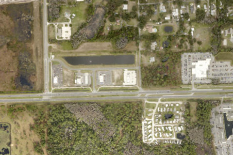 Satellite · reference point
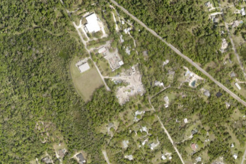 Satellite · reference point
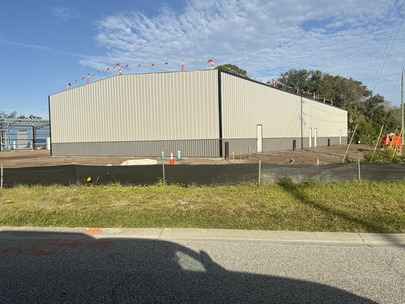 Photo
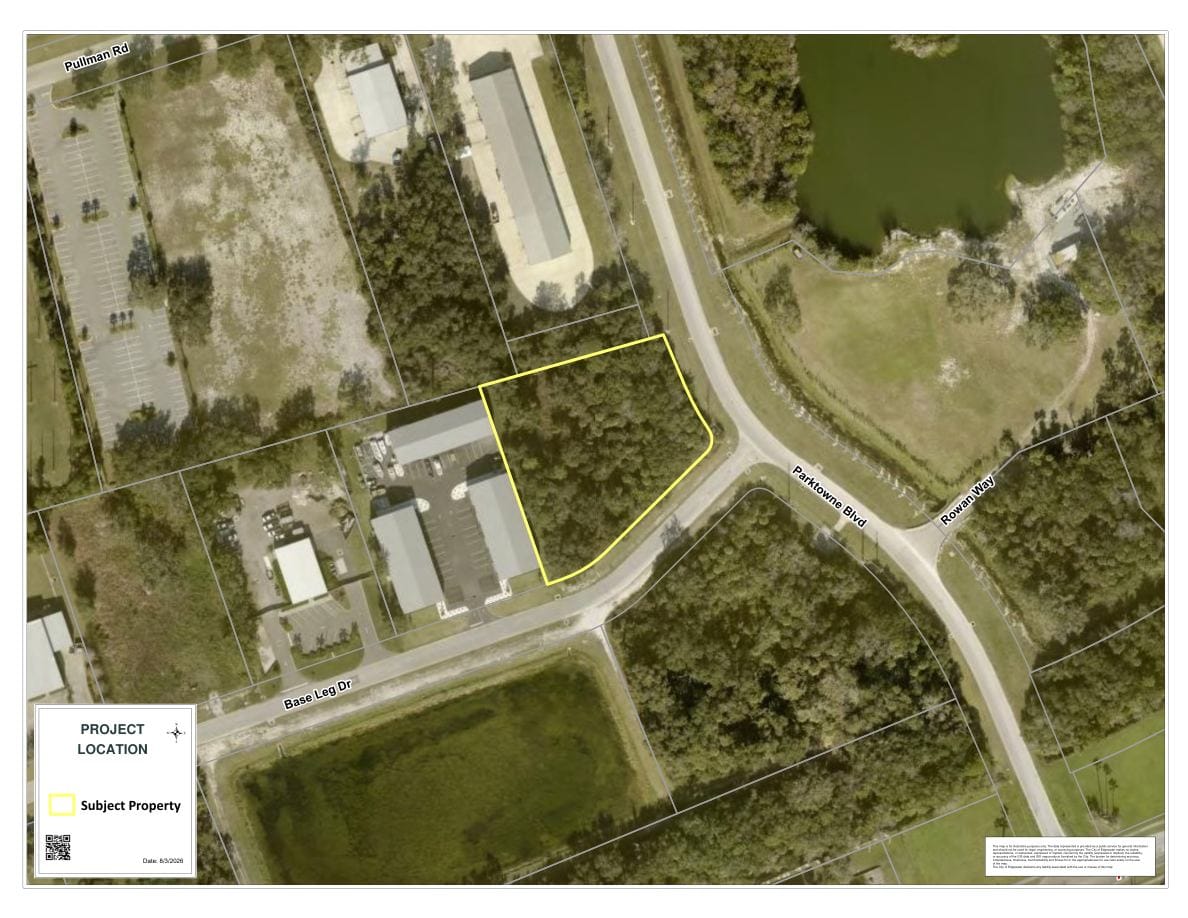 Satellite · city outline
Expand for details5 records · 2 photos · map & project info
Timeline and votes
Decisions & project history
Newest firstOwner field photos · Received date
Site photos added
Record details & sources
Owner photos show the corner building enclosed and an adjacent building at the steel-frame stage, with unfinished ground around both. The city’s site plan places two warehouse buildings on this corner parcel. Opening and occupancy are not confirmed. Capture date unavailable.
Original public record
Quarterly narrative reports technical site-plan approval
Record details & sources
The July–September department narrative says the Technical Review Committee approved the site plan at 301 Base Leg Drive. The same report’s project table still says Under Site Plan Review. The narrative does not provide the exact approval date, conditions or individual ballots. This entry records the quarter-end source snapshot, not a new September 30 vote or an issued building permit.
City project record · Application history
Warehouse application submitted · SP-2607
Record details & sources
Staff dates the first application May 11, 2026. RAG Ventures, LLC is the applicant for 23,400 square feet of warehouse and office space at 301 Base Leg Drive.
Edgewater Development Services · Project update
Rollins Warehouse: city report update
Record details & sources
The warehouse layout was being reviewed.
City case record · Record
Warehouse site-plan request listed · SP-2607
Agenda entry; decision unconfirmedRecord details & sources
Photos and map
Photos & map


Project facts and sources
Project information & sources
- People & companies
Applicant: RAG Ventures, LLC · Builder not confirmed
- Approvals & permits
Construction visible: one building enclosed and the adjacent building at steel-frame stage.
- Size & completion
Project size: 23,400 square feet of warehouse and office space on about 1.51 acres.
Completion: See the dated approvals and project history.
- Things to know
Field photo update: Owner photos show the corner building enclosed and an adjacent building at the steel-frame stage, with unfinished ground around both. The city’s site plan places two warehouse buildings on this corner parcel. Opening and occupancy are not confirmed. Photos received October 31, 2026; capture dates unavailable.
New Construction of Warehouse. The warehouse layout was being reviewed.
The proposal covers parcel 7452220A0200, about 1.51 acres with Industrial future land use and industrial planned-development zoning. The August 11 staff report names Robert Guariello of RAG Ventures LLC as applicant and describes four technical reviews. Its recommendation is separate from a final decision or issued permit. Original SP-2607 staff report ↗
- What happens next
Opening date is not confirmed.
- Sources
Sources checked: Oct 23, 2026
Original city applications and submission histories checked November 5, 2026. Case statuses and review dates are distinct from building permits and completed construction.
Parcel, acreage, applicant and technical-review details checked in the original SP-2607 staff report November 15, 2026. Original SP-2607 staff report ↗
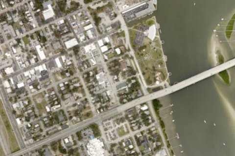 Satellite · reference point
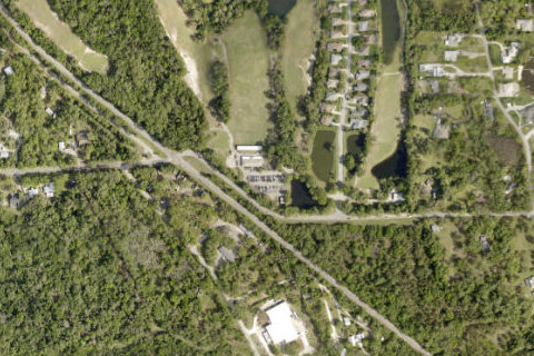 Satellite · reference point
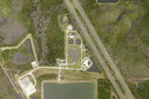 Satellite · reference point
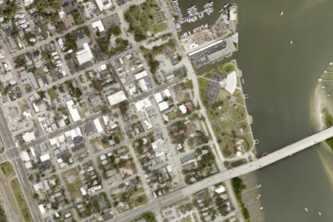 Satellite · reference point
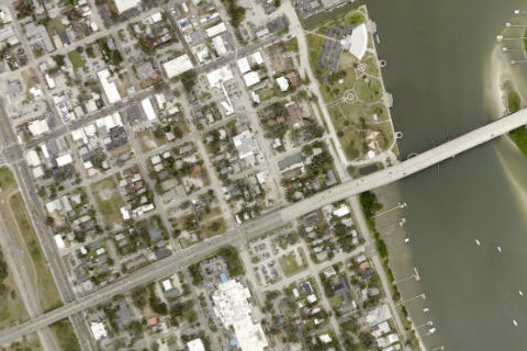 Satellite · reference point
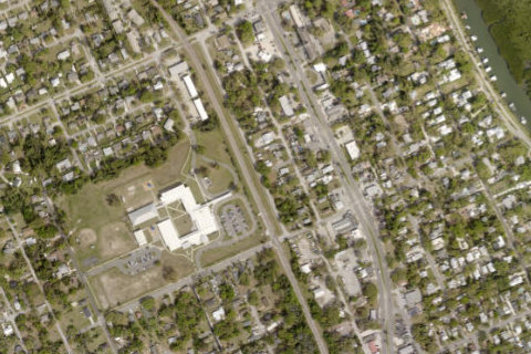 Satellite · reference point
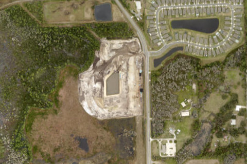 Satellite · reference point
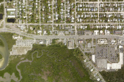 Satellite · reference point
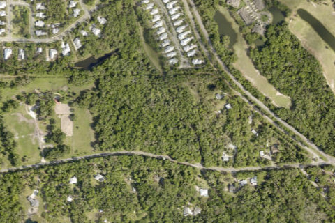 Satellite · reference point
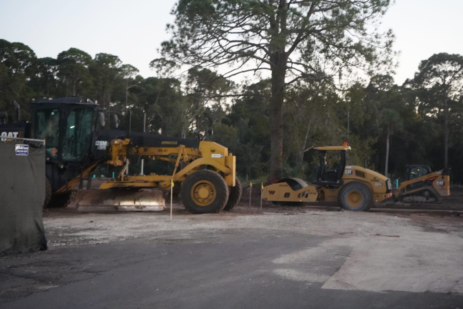 Photo
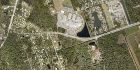 Satellite · reference point
Expand for details19 records · 2 vote records · 1 photo · map & project info
Timeline and votes
Decisions & project history
Newest firstNew Smyrna Beach city map · Dated source check
City map checked; published case information recorded
Record details & sources
Case SP-0017-2024: 79 Unit Multifamily Townhomes. City map status: Under Construction. Approval body listed: Planning and Zoning. Approval date listed: Feb 2, 2026.
Case S-0001-2025: 79 Unit Multifamily Townhomes. City map status: Under Construction. Approval body listed: Staff Approval. Approval date listed: Feb 2, 2026.
The map lists 79 townhomes in both the site-plan and final-plat cases, while earlier plans on this card list 80. These are two cases for one community, not two developments. The home-count discrepancy remains unresolved.
This is the map information available at the check, not a new city decision. Individual votes, applicant, builder and permit history are not supplied by this map.
Original public record
SP-0017-2024: case completion recorded
Record details & sources
The city’s case-completion field records 2026-05-19; its displayed case status is “Approved”. This is an administrative planning-case milestone, not completion of construction. Approval expiration is separately listed as 2028-02-02.
Original public record
SP-0017-2024: review round 1 — approved
Record details & sources
The city records review round 1 as “Approved”, following the submission received 2025-12-30. This is a planning review milestone; building permits and construction completion are separate.
Original public record
SP-0017-2024: review submission 1 received
Record details & sources
The city received submission 1 for site plan/plat review. The round later completed 2026-03-06 with status “Approved”.
Project record · Recommendation
Staff recommends townhome plans
Record details & sources
Staff reported two wetland areas would be preserved and tree mitigation equivalent to 628 replacement trees, with larger trees allowed toward that requirement. The site borders the Turnbull-era Gabordy Canal.
Planning and Zoning Board · Decision
Lot-map recommendation adopted · vote conflict
Record details & sources
Board recommended approval of S-1-25, with further county traffic coordination. The minutes conflict: the narrative says unanimous; the vote table lists four yes and two no.
The October staff reports confirm a Volusia County use permit for improvements in the 10th Street right-of-way and New Smyrna BeachU approval of subdivision plans. Three parcels must be combined before permits are issued.
Planning and Zoning Board · Decision
Site-plan approval motion fails on a tied vote
Approval motion failed 3–3Who voted?
Thomas Bien YESStephen Yates YESKip Hulvershorn YESJohn Causey NOJon Hall NOCurtis Hodges NORecord details & sources
The board did not approve SP-17-24. The motion failed on a 3–3 tie.
Project record · Record
Utility project update
Record details & sources
New Smyrna Beach Utilities historical portable document format currently unavailablePlanning and Zoning Board · Decision
Revised site plan approved after access changes
Passed 7–0Who voted?
Deb Denys YESDavid McKenna YESJohn Causey YESThomas Bien YESJon Hall YESStephen Yates YESLarry Wheatcraft YESRecord details & sources
The revised plan uses the existing traffic signal for left and right turns. Flooding concerns and the applicant engineer’s drainage analysis were discussed. The minutes label this SP-14-24; the agenda labels the revised plans SP-17-24.
Original public record
SP-0017-2024: review round 5 — approved
Record details & sources
The city records review round 5 as “Approved”, following the submission received 2025-07-11. This is a planning review milestone; building permits and construction completion are separate.
Original public record
SP-0017-2024: review submission 5 received
Record details & sources
The city received submission 5 for site plan/plat review. The round later completed 2025-08-12 with status “Approved”.
Original public record
SP-0017-2024: review round 4 — requires re-submit
Record details & sources
The city records review round 4 as “Requires Re-submit”, following the submission received 2025-06-02. This is a planning review milestone; building permits and construction completion are separate.
Original public record
SP-0017-2024: review submission 4 received
Record details & sources
The city received submission 4 for site plan/plat review. The round later completed 2025-07-10 with status “Requires Re-submit”.
Original public record
SP-0017-2024: review round 3 — requires re-submit
Record details & sources
The city records review round 3 as “Requires Re-submit”, following the submission received 2025-02-24. This is a planning review milestone; building permits and construction completion are separate.
Original public record
SP-0017-2024: review submission 3 received
Record details & sources
The city received submission 3 for site plan/plat review. The round later completed 2025-05-09 with status “Requires Re-submit”.
Original public record
SP-0017-2024: review round 2 — requires re-submit
Record details & sources
The city records review round 2 as “Requires Re-submit”, following the submission received 2025-01-09. This is a planning review milestone; building permits and construction completion are separate.
Original public record
SP-0017-2024: review round 1 — requires re-submit
Record details & sources
The city records review round 1 as “Requires Re-submit”, following the submission received 2024-09-20. This is a planning review milestone; building permits and construction completion are separate.
Original public record
SP-0017-2024: review submission 1 received
Record details & sources
The city received submission 1 for site plan/plat review. The round later completed 2025-01-09 with status “Requires Re-submit”.
Original public record
SP-0017-2024 application filed
Record details & sources
The city records the site plan class ii & iii application as filed on 2024-09-03. Case address: 1070 10TH ST NEW SMYRNA BEACH, FL 32168. Listed parcel: 741923000490. Filing begins review; it does not authorize construction.
Photos and map
Photos & map

Project facts and sources
Project information & sources
- Approvals & permits
Construction seen Oct 22, 2026.
Original case SP-0017-2024 (checked November 5, 2026): Approved. Filed 2024-09-03; parcel 741923000490. Case-completion date: 2026-05-19. Approval expiration: 2028-02-02. Planning-case status does not establish an issued building permit, a construction start or completed construction.
SP-0017-2024 — submission 5, received 2025-07-11: Building department: Approved (2025-07-24); Engineering: Approved (2025-07-11); Fire: Approved (2025-08-01); Planning: Approved (2025-07-11); Planning: Approved (2025-08-12). These are the latest listed submission’s department review steps, not building permits. Original department reviews ↗ (checked November 5, 2026).
- Size & completion
Planned / reported: 80 homes
Cleared to live in: Not confirmed.
Homes sold: Not confirmed.
80 townhomes in the project plan. A complete city list of homes cleared to live in is not confirmed.
Full completion unconfirmed.
- Things to know
Staff reported preservation of two wetland areas and tree mitigation equivalent to 628 replacement trees, allowing larger trees toward that requirement. The October reports also require three parcels to be combined before permits are issued. These are plan and approval requirements; they do not establish that trees were removed, mitigation was planted or the parcels were combined.
Original city case SP-0017-2024 lists Applicant: Upham, Inc.; Engineer: Upham, Inc.; Owner: The Royal Group Investments Roth 401(k). These are application-contact roles, not a verified deed transfer or awarded construction contract. City contact record ↗ (checked November 5, 2026).
- Sources
Sources checked: Through Feb 2, 2026
See the source links in the project history.
Original city applications and submission histories checked November 5, 2026. Case statuses and review dates are distinct from building permits and completed construction.
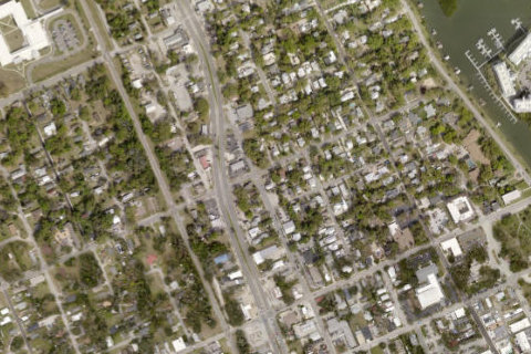 Satellite · reference point
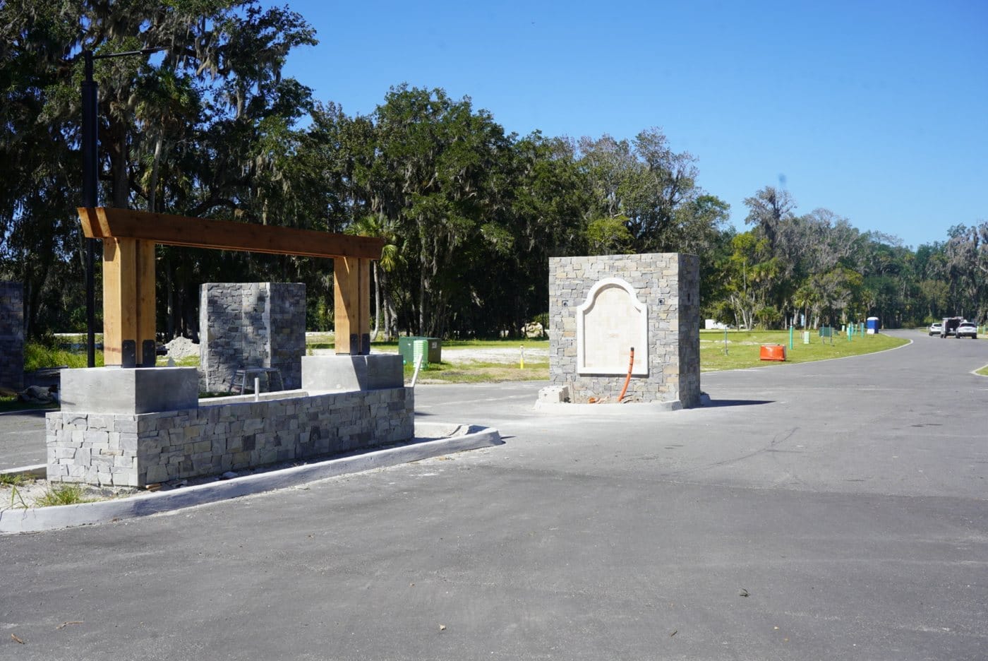 Photo
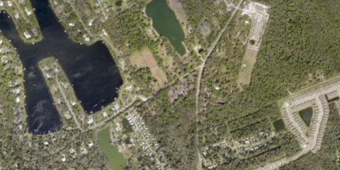 Satellite · reference point
Expand for details8 records · 3 vote records · 2 photos · map & project info
Timeline and votes
Decisions & project history
Newest firstOwner field photos · Received date
Site photos added
Record details & sources
The owner’s photos show entrance features being built, a paved access road and a Hammock Lakes now-selling sign from K. Hovnanian Homes. The community is marketed as Hammock Lakes; the existing city-record card uses Reserve at Lake Waterford. The photos do not confirm finished-home or occupancy totals. Capture dates unavailable.
New Smyrna Beach city map · Dated source check
City map checked; published case information recorded
Record details & sources
Case S-01-18: 45 lot subdivision. City map status: Under Construction. Approval body listed: City Commission. Approval date listed: Jun 25, 2024.
This is the map information available at the check, not a new city decision. Individual votes, applicant, builder and permit history are not supplied by this map.
New Smyrna Beach City Planning · Historical report
Lot plan awaiting a Commission agenda
Record details & sources
S-1-18: staff was preparing the 45-lot Eslinger Road plan for Commission review; no meeting date was confirmed.
City Commission · Postponed
Development-rule change postponed
Postponement passed 5–0Who voted?
Jason McGuirk YESJim Hathaway YESJudy Reiker YESJake Sachs YESRandy Hartman YESRecord details & sources
City Commission · Decision
Revised development rules adopted
Adopted 5–0Who voted?
Jason McGuirk YESJim Hathaway YESJudy Reiker YESJake Sachs YESRandy Hartman YESRecord details & sources
City Commission · Decision
Settlement agreement approved
Passed unanimously; individual votes not itemized.Record details & sources
The Commission approved the Reserve at Lake Waterford Florida Land Use and Environmental Dispute Resolution Act settlement agreement. Michael Kolody moved approval; Randy Hartman seconded.
City Commission · Record
Final lot map approved
Record details & sources
Project record · Record
Utility construction update
Record details & sources
Utilities reported water and sewer construction 50% complete.
New Smyrna Beach Utilities historical portable document format currently unavailable
Photos and map
Photos & map


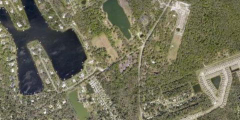
Project facts and sources
Project information & sources
- Approvals & permits
Entrance work visible; now selling as Hammock Lakes.
- Size & completion
Planned / reported: 45 homes
Cleared to live in: Not confirmed.
Homes sold: Not confirmed.
45 lots for single-family homes. A complete city list of homes cleared to live in is not confirmed.
Full completion unconfirmed.
- Things to know
Field photo update: The owner’s photos show entrance features being built, a paved access road and a Hammock Lakes now-selling sign from K. Hovnanian Homes. The community is marketed as Hammock Lakes; the existing city-record card uses Reserve at Lake Waterford. The photos do not confirm finished-home or occupancy totals. Photos received October 31, 2026; capture dates unavailable.
The City Commission approved the final lot map June 25, 2024. A November 2025 utility update reported water and sewer construction 50% complete. That is a dated utility-work measure, not a current percentage for all homes or permission to occupy them.
- Sources
Sources checked: Through 2025-11
See the source links in the project history.
Earlier city-report history checked November 5, 2026. Report snapshots retain their stated dates and earlier phase counts; they do not establish current permits, occupancy or complete project history.
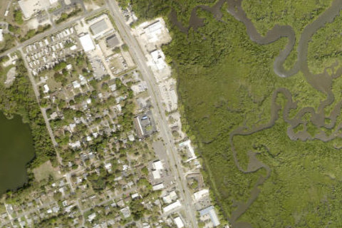 Satellite · reference point
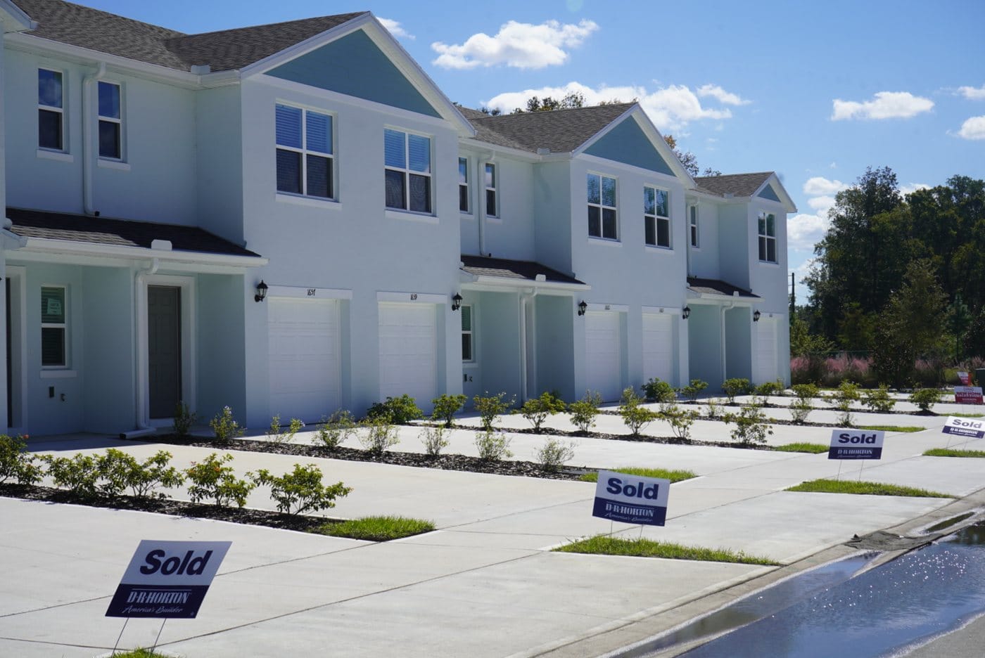 Photo
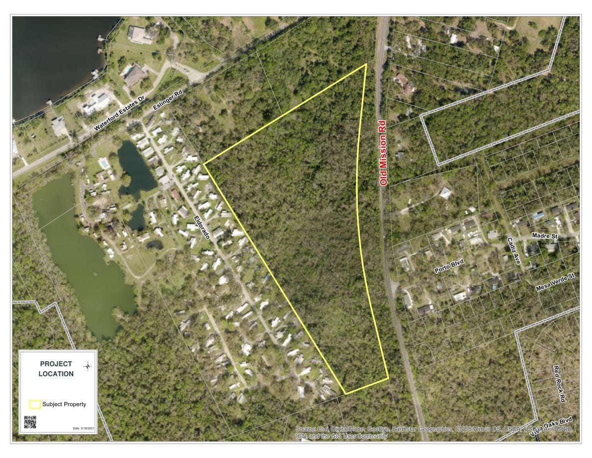 Satellite · city outline
Expand for details14 records · 2 vote records · 4 photos · map & project info
Timeline and votes
Decisions & project history
Newest firstOwner field photos · Received date
Site photos added
Record details & sources
The owner’s photos show finished-looking townhome exteriors with sold signs, other units at the concrete-block stage, and the Sandalwood entrance and sales signs. Construction is continuing. Sold signs do not establish recorded sales totals or permission to occupy each home. Capture dates unavailable.
Original public record
Eight Sandalwood townhomes receive occupancy certificates
Record details & sources
The city lists 1665, 1663, 1661, 1659, 1657, 1655, 1653 and 1651 Great Osprey Way, under permits 25-1521, 25-1520, 25-1519, 25-1518, 25-1517, 25-1515, 25-1514 and 25-1513 respectively. The June 29 certificates cover these individual townhomes, not all phases or the entire development.
Original public record
8 additional occupancy certificates listed for 2025-11
Record details & sources
The city certificate table lists 1656 GREAT OSPREY WAY — 11/13/2025, permit 25-1302; 1658 GREAT OSPREY WAY — 11/13/2025, permit 25-1303; 1660 GREAT OSPREY WAY — 11/13/2025, permit 25-1304; 1662 GREAT OSPREY WAY — 11/13/2025, permit 25-1305; 1664 GREAT OSPREY WAY — 11/13/2025, permit 25-1306; 1666 GREAT OSPREY WAY — 11/13/2025, permit 25-1307; 1668 GREAT OSPREY WAY — 11/13/2025, permit 25-1308; 1670 GREAT OSPREY WAY — 11/13/2025, permit 25-1309. These are individual occupancy records, not a verified business opening, sale or completion of the whole development. Incomplete parcel fields have not been reconstructed.
Edgewater Building Department · Occupancy
Six Sandalwood homes receive occupancy certificates
Record details & sources
The city occupancy table lists 1674, 1676, 1678, 1680, 1682 and 1684 Great Osprey Way, permits 25-1310 through 25-1315. Individual certificates do not establish completion of the entire phase.
Official source ↗Edgewater Building Department · Occupancy
Two Sandalwood homes receive occupancy certificates
Record details & sources
The city table lists 1686 and 1688 Great Osprey Way, permits 25-1316 and 25-1317.
Official source ↗Edgewater City Council · Postponement
Final-plat item postponed
Record details & sources
The official action summary records the item being tabled to March 3, 2025. Final approval was later recorded March 17.
Official source ↗Edgewater Development Services · Project update
Smyrna Creek Preserve: city report update
Record details & sources
Under construction, with a final lot map approved.
City staff record · Record
Final lot map application submitted · FP-2401
Application submittedRecord details & sources
Edgewater City Council · Decision
Early lot layout approved · SD-2302
ApprovedRecord details & sources
The later city staff report documents this earlier approval date.
Edgewater Planning and Zoning Board · Recommendation
Smyrna Creek Preserve: recommend proposed map of lots, roads and shared areas for 78 townhomes
Approved 6–0.Who voted?
Albert Amalfitano YESRobert Andrejkovics YESThomas Duane YESGeorge Kennedy YESPaul Wright YESChris Hatcher YESRecord details & sources
Edgewater City Council · Decision
Final lot map approved · FP-2401
Approved 3–0 · 1 excusedEdgewater City Council · Individual votes
Diezel DePew YESCharlotte Gillis YESDebbie Dolbow YESMike Thomas EXCUSEDRecord details & sources
Edgewater City Council · Decision
Development agreement amendment approved
ApprovedRecord details & sources
Edgewater Development Services · Historical report
Staff discusses amending the earlier agreement
Record details & sources
The city records an amendment-process meeting. This precedes the April 2023 agreement change.
Edgewater Development Services · Historical report
Earlier development agreement adopted
Record details & sources
The city reports adoption of Smyrna Creek Preserve’s agreement for a then-reported 166-unit plan. This precedes the later 78-townhome phase.
Photos and map
Photos & map


Project facts and sources
Project information & sources
- Approvals & permits
Now selling as Sandalwood; the 78-lot phase received final-plat approval.
- Size & completion
Planned / reported: 166 reported homes
Cleared to live in: At least 24 homes listed in city certificate tables
Homes sold: Not confirmed.
The existing city certificate records identify 24 distinct Great Osprey Way townhomes: eight in August 2025, eight in November 2025 and eight on June 29, 2026. These address-specific records establish a documented minimum for the named neighborhood, not completion of the 78-lot phase or reconciliation of the wider 166-home report figure.
Full completion unconfirmed.
- Things to know
Field photo update: The owner’s photos show finished-looking townhome exteriors with sold signs, other units at the concrete-block stage, and the Sandalwood entrance and sales signs. Construction is continuing. Sold signs do not establish recorded sales totals or permission to occupy each home. Photos received October 31, 2026; capture dates unavailable.
The 78-lot phase received final-plat approval on March 17, 2025. This follows the 2023 agreement amendment and early lot-layout approval.
D.R. Horton is identified as the owner in FP-2401. The final-lot-map application covers 78 lots on 21.49 acres.
166 reported homes. Under construction, with a final lot map approved.
- Sources
Sources checked: Oct 23, 2026
Earlier city-report history checked November 5, 2026. Report snapshots retain their stated dates and earlier phase counts; they do not establish current permits, occupancy or complete project history.
Original city applications and submission histories checked November 5, 2026. Case statuses and review dates are distinct from building permits and completed construction.
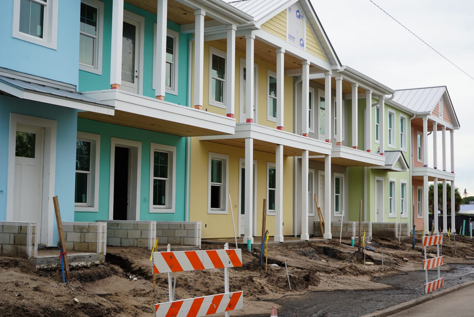 Photo
 Satellite · reference point
Expand for details10 records · 1 photo · map & project info
Timeline and votes
Decisions & project history
Newest firstNew Smyrna Beach city map · Dated source check
City map checked; published case information recorded
Record details & sources
Case S-05-18: Residential Townhomes 2 building with 14 units. City map status: Under Construction. Approval body listed: City Commission. Approval date listed: Jun 11, 2019.
This is the map information available at the check, not a new city decision. Individual votes, applicant, builder and permit history are not supplied by this map.
New Smyrna Beach Utilities · Original agenda
Developer’s agreement listed for consideration
Record details & sources
Consent item 3-f names Coral Ville, LLC and identifies the project as Coral Villas, also called North Causeway Townhomes. The original agenda confirms the requested action, not the outcome. The agenda itself does not record the result. A separate published NSBU results document, added below, reports approval of the consent items; an executed agreement remains unverified. No individual vote is inferred.
New Smyrna Beach Utilities · Published results
Published utility results report consent approval
Record details & sources
NSBU’s April 28 published results list the Coral Ville, LLC agreement for Coral Villas, also called North Causeway Townhomes, as consent item 3-f and report all consent items approved as submitted. This is utility-board approval only; no individual ballots, executed agreement, city building approval, construction completion or occupancy permission are inferred.
NSBU published April 28, 2025 results ↗ (reviewed November 15, 2026).
New Smyrna Beach Planning Department · Historical snapshot
City lists the townhomes under construction
Record details & sources
The January 2025 development report lists North Causeway Townhomes, case S-05-18, as two buildings with 14 units under construction. The earlier November report listed construction as not started; both remain dated snapshots.
New Smyrna Beach Utilities · Manager report
Utility report describes a requested agreement replacement
Record details & sources
NSBU’s manager report for July 2024 says engineering met with the developer about a sewer-design revision and that the developer requested voiding the existing developer agreement and starting a new agreement using revised utility design and fees. The source is a report of a request, not proof that the earlier agreement was voided or a replacement executed. The exact meeting date is not stated; July is the report period.
Original July 2024 manager report, page 5 ↗ (reviewed November 15, 2026).
New Smyrna Beach City Planning · Historical report
Earlier inventory lists construction not started
Record details & sources
S-05-18: the approved two-building, 14-townhome plan was listed as not under construction in March 2024.
City Commission · Decision
14-townhome plans approved
City development report lists final City Commission approval; no tally reported.Record details & sources
North Causeway Townhomes · Original contract
Owner signs the city plat-recording contract
Record details & sources
The city attachment bears Silvestri Investments of Florida Inc’s owner signature dated June 4, 2019. It references May 28 civil plans and states prerequisites for public-improvement work and occupancy certificates. City mayor, clerk and attorney fields are blank in this public preapproval copy. The existing later city approval remains a separate recorded action; this copy alone does not establish full execution or plat recording.
Original owner-signed plat-recording contract ↗ (reviewed November 15, 2026).
North Causeway Townhomes · Filed civil plans
Filed civil set details the townhome site and project team
Record details & sources
The civil set identified in the city attachment list as February 6, 2019 describes two buildings with 14 townhomes on 1.15 acres, a 35-foot maximum height and 33,352 square feet of building area. Its cover identifies the historical owner and design professionals. These are filed design quantities, separate from the later city approval and from completed buildings or occupancy permission.
Original civil set, cover sheet C1 ↗ (reviewed November 15, 2026).
City technical review · Review
Townhome plans enter technical review
Record details & sources
Photos and map
Photos & map

Project facts and sources
Project information & sources
- People & companies
Coral Ville LLC. The April 28, 2025 utility agenda calls Coral Villas “North Causeway Townhomes” and lists a developer agreement for consideration. NSBU’s published April 28 results list this agreement as consent item 3-f and report all consent items approved. The signed agreement, construction completion and permission to occupy remain unconfirmed. Original April 28 agenda, page 1
The original 2019 civil-plan cover names Silvestri Investments of Florida Inc as owner, Zev Cohen & Associates as civil engineer and landscape architect, Daniel W. Cory Surveyor LLC as surveyor, and Robert A. Harris Architect as architect. These are historical design roles, separate from Coral Ville LLC’s later utility-agreement role and from a verified current construction contract. Original civil-plan cover, C1 ↗
- Approvals & permits
Construction seen Oct 22, 2026. NSBU’s April 28, 2025 published results report approval of the utility agreement; occupancy remains unconfirmed.
The filed plat-recording contract bears the owner’s June 4, 2019 signature and refers to civil plans dated May 28, 2019. The city signature and approval fields are blank in this preapproval copy. Its conditions require necessary permits, conveyed easements and city-engineer certification of public improvements before occupancy certificates, with streetlights installed before the first certificate. This records the filed conditions and owner signing, not later full city execution, recording, current validity or completed work. Original city plat-recording contract, pages 1, 3–5 ↗
- Size & completion
Planned / reported: 14 homes
Cleared to live in: Not confirmed.
Homes sold: Not confirmed.
Two townhome buildings. A complete city list of homes cleared to live in is not confirmed.
Full completion unconfirmed.
The original C1 civil-plan cover lists 1.15 acres (50,005 square feet), two buildings with 14 townhomes, 33,352 square feet of building area and a maximum height of 35 feet. These are historical design figures, not measurements of completed buildings or additional homes. Original plan quantities ↗
- Things to know
NSBU’s April 28, 2025 published results list the Coral Ville agreement as consent item 3-f and report all consent items approved. This records utility-board approval only. It does not establish that the agreement was executed, that city building approvals were issued, or that the homes are complete or cleared for occupancy. NSBU published April 28 results ↗
NSBU’s July 2024 manager report says the developer requested replacing the existing developer agreement after a sewer-design revision. The April 2025 minutes authorize execution of the new agreement when contingencies are met. These statements do not establish that the earlier agreement was actually voided, that contingencies were fulfilled, or that the new agreement was signed. July 2024 manager report in the August packet ↗ · April 2025 conditional execution wording ↗
The 2019 plan cover also says its setbacks and building coverage reflect a variance granted March 5, 2018 under V-2-18. This drawing note does not supply individual votes or a current amendment. Historical variance note on C1 ↗
- Sources
Sources checked: Through Apr 28, 2025
Earlier city-report history checked November 5, 2026. Report snapshots retain their stated dates and earlier phase counts; they do not establish current permits, occupancy or complete project history.
Original documents added November 15, 2026: NSBU April 28, 2025 published results ↗ establishes the consent-item outcome, separately from the earlier agenda. No executed agreement or occupancy certificate is supplied by that result.
Additional original documents reviewed November 15, 2026: Original civil plans ↗ and Owner-signed plat-recording contract ↗ document historical design and conditions. July 2024 utility report ↗ and April 2025 execution wording ↗ explain the agreement history without supplying a signed 2025 utility agreement.
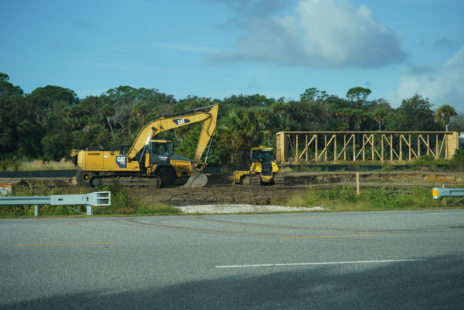 Photo
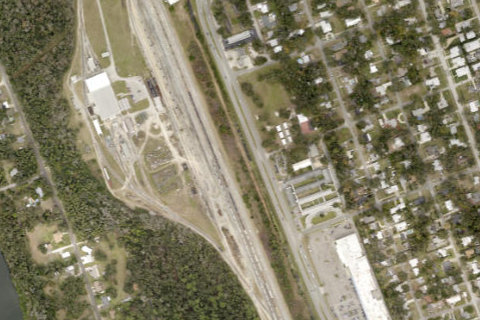 Satellite · reference point
Expand for details8 records · 1 photo · map & project info
Timeline and votes
Decisions & project history
Newest firstNew Smyrna Beach city map · Dated source check
City map checked; published case information recorded
Record details & sources
Case SP-03-24: 150 Boat/recreational vehicle Storage Space. City map status: Under Construction. Approval body listed: Staff Approval. Approval date listed: Dec 27, 2024.
This is the map information available at the check, not a new city decision. Individual votes, applicant, builder and permit history are not supplied by this map.
New Smyrna Beach · Original project record
Staff recommends approval of revised storage layout
Record details & sources
The report identifies applicant Michael Grindstaff and owner Festive Properties Inc.; parcel 7444-03-13-0011, approximately 8.15 acres. It describes 74 spaces measuring 12 by 30 feet and 76 measuring 12 by 40 feet, a six-foot roadside screen and landscaping, with entry south and exit north. Staff estimated 27 daily vehicle trips. This recommendation does not itself prove a board decision.
New Smyrna Beach Planning and Zoning Board · Decision
Board approves the covered storage site plan
Individual Yes votes explicitly listed in the original minutes; Hodges moved and Hall seconded.
Causey YESBien YESHall YESYates YESHodges YESHulvershorn YESRecord details & sources
The Planning and Zoning Board approves SP-03-24 as submitted for 150 covered boat and RV spaces. The minutes explicitly list six Yes votes. This is the actual board decision, separate from the staff recommendation and the December 27, 2024 staff-approval date carried by the city map. Site-plan approval does not itself issue construction or occupancy permission.
Original February 3 minutes, item 5.B ↗ (reviewed November 16, 2026).
New Smyrna Beach · Staff Approval · Map-reported approval
Approval listed for SP-03-24
Record details & sources
150 Boat/recreational vehicle Storage Space
The city map supplies this approval date and body. The original decision document and individual votes have not been verified for this card.
New Smyrna Beach · Dated city-report snapshot
150-space site plan enters staff review
Record details & sources
SP-0003-2024 proposed 150 boat/RV spaces and was submitted for staff review. This differs from the earlier 160-space concept.
Volusia County official record · Recorded development agreement
Development agreement is recorded
Record details & sources
The county stamp records instrument 2023020677 in Official Records Book 8363, page 1013 on February 2, 2023. The agreement sets operating and design terms for the earlier roughly seven-acre, 160-space concept, including automated gates and separate-permit requirements. The later 150-space, 8.15-acre layout is a distinct dated scope; the two figures are not added together.
Original county-stamped agreement ↗ (reviewed November 16, 2026).
New Smyrna Beach · Original project record
Development agreement approval reported by city
Record details & sources
The July report lists Commission approval of the Blue Dolphin development agreement on January 24. Site-plan submission remained next.
New Smyrna Beach · Original project record
Earlier development agreement and concept presented
Record details & sources
The planning packet lists PUD-1-22. A draft agreement describes about seven acres and roughly 160 spaces, with an entity still to be formed as developer. It names Festival Properties LLC, while the staff cover uses Festival Properties Inc. This is proposal-stage evidence, not an executed deed or agreement.
Photos and map
Photos & map

Project facts and sources
Project information & sources
- People & companies
February 2025 city staff identifies Michael Grindstaff as applicant and Festive Properties Inc. as owner. Earlier filings use Festival Properties and different entity suffixes. Current legal title and construction builder remain unverified.
The recorded 2023 agreement identifies Evans Engineering Inc as preparer of the conceptual development plan and Zev Cohen & Associates Inc as preparer of the landscape and sign plan. It names Festival Properties LLC as historical owner and prints Blue Dolphin Boat and RV Storage LLC with “[TO BE FORMED]” as developer. That historical wording is retained without inferring current formation, title or a construction builder; the later staff record’s Festive Properties Inc wording remains a separate source. Original recorded agreement and design exhibits ↗
- Approvals & permits
The board approved 150 covered storage spaces February 3, 2025; the city map lists construction underway. Completion and operating permission remain unverified.
The February 3, 2025 minutes explicitly approve SP-03-24 as submitted. They list Yes votes by Causey, Bien, Hall, Yates, Hodges and Hulvershorn, with Hodges moving and Hall seconding. The development agreement’s county stamp records instrument 2023020677 on February 2, 2023, Book 8363, page 1013. The agreement expressly says it is not a permit to begin clearing, site work or construction without the necessary permits. Original board minutes ↗ · County-stamped recorded agreement ↗
- Size & completion
Project size: Board-approved 150 covered boat and RV storage spaces; the later plan area is about 8.15 acres.
Completion: See the dated approvals and project history.
- Things to know
150 Boat/recreational vehicle Storage Space
The city map reports a December 27, 2024 staff approval. Separate original minutes now document Planning and Zoning Board approval on February 3, 2025; the staff recommendation and board decision are distinct actions. Historic seven-acre/160-space and later 8.15-acre/150-space figures describe different dated records; they are not interchangeable.
The later layout describes south-side entry, north-side exit and one-way northbound circulation. The original drawing includes a retention pond and two compensating-storage areas. The recorded February 2023 agreement sets a 20-foot maximum height, a center drive aisle at least 30 feet wide with asphalt surfacing, automated gates and on-site stormwater detention or retention. It describes no formal office, full-time on-site employees or supplies-sales store. The older agreement allowed optional canopies; the later 150-space site plan is described as covered storage. These are dated design and operating terms, not completed work. Original layout, recorded agreement and exhibits ↗
- Sources
Sources checked: Oct 24, 2026
SP-03-24
Additional historical sources checked November 5, 2026. Historic reports do not establish current permit or construction status. Added original history source ↗ · Added original history source ↗ · Added original history source ↗ · Added original history source ↗
Additional original records reviewed November 16, 2026: Original February 3 board minutes ↗ establish the actual decision and six named ballots; Recorded development agreement ↗ supplies historical design and operating conditions. The earlier map and staff-source dates remain separate and unchanged.
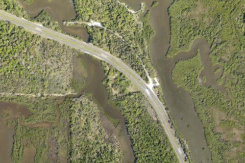 Satellite · reference point
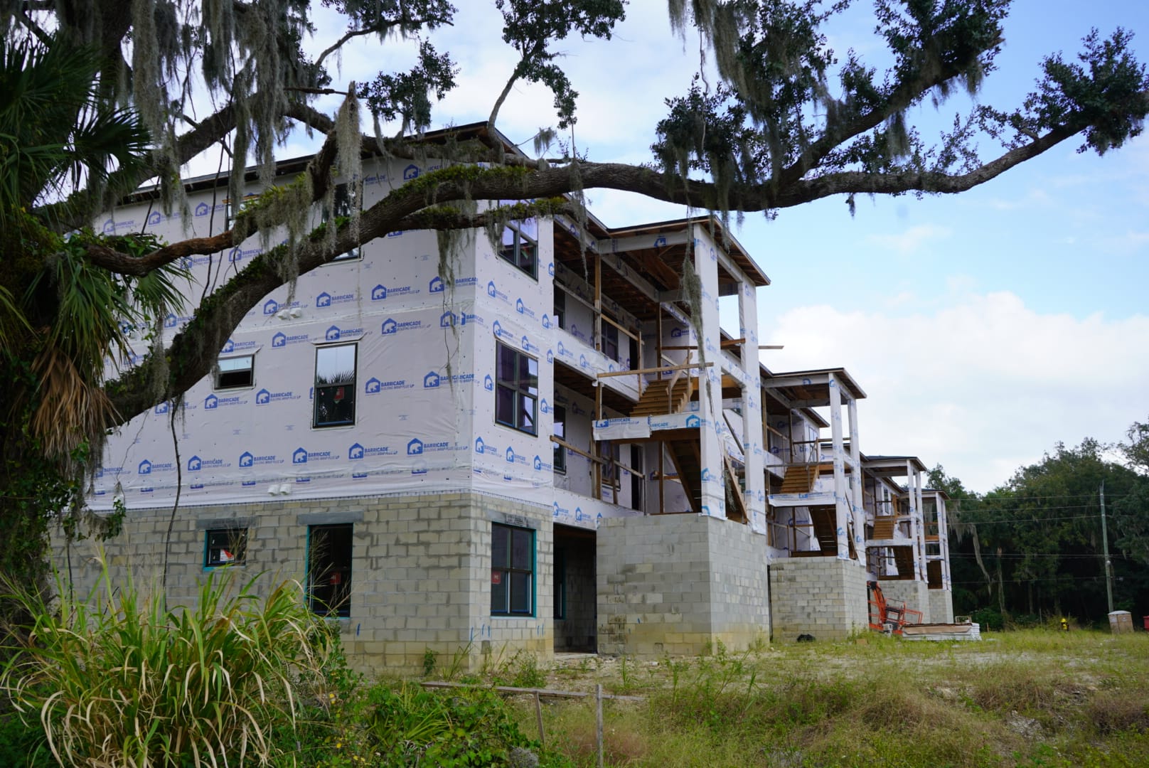 2 photos
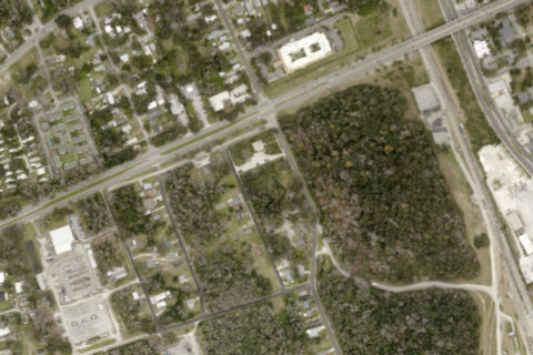 Satellite · reference point
Expand for details6 records · 2 photos · map & project info
Timeline and votes
Decisions & project history
Newest firstNew Smyrna Beach city map · Dated source check
City map checked; published case information recorded
Record details & sources
Case SP-06-24: 3 proposed 3 story (12) unit apartment building. City map status: Under Construction. Approval body listed: Staff Approval. Approval date listed: Dec 30, 2024.
The source wording is “3 proposed 3 story (12) unit apartment building.” It does not unambiguously say whether 12 units is per building or total; no total is inferred. This is separate from Shops of New Smyrna Beach at 507 Myrtle Avenue.
This is the map information available at the check, not a new city decision. Individual votes, applicant, builder and permit history are not supplied by this map.
New Smyrna Beach · Original approval letter and stamped plans
Approval letter confirms two buildings and a 24-apartment plan
Record details & sources
The city sent the approved Class II site plan to Brent Walters on January 7, confirming approval December 30, 2024 and validity through December 30, 2026. Stamped sheet C-1 expressly specifies two three-story buildings of 12 apartments each, totaling 24 apartments. Sheet C-2 shows buildings 1 and 2; the plan provides 48 parking spaces and a 1.36-acre site. The letter requires a preconstruction meeting and approved site drawings with the separate building-permit application. The letter and drawings do not certify completed construction or occupancy.
Approved site plan C-1/C-2 and January 7 approval letter ↗ (reviewed November 15, 2026).
New Smyrna Beach · Staff Approval · Map-reported approval
Approval listed for SP-06-24
Record details & sources
3 proposed 3 story (12) unit apartment building
The city map supplies this approval date and body. The original decision document and individual votes have not been verified for this card.
New Smyrna Beach · Dated planning report
Older report still lists two buildings in review
Record details & sources
The January report describes two three-story buildings and lists staff review. The current map instead describes three buildings and dates staff approval December 30, 2024. The checked sources do not explain these differences; this report does not establish that approval was reversed.
New Smyrna Beach · Dated planning report
City requests revised plans for the earlier two-building proposal
Record details & sources
The July report lists two three-story apartment buildings, staff comments and a request to resubmit. Its wording places “(12) unit” beside the building description without clearly giving a project-wide total. No total unit count is inferred.
Original project record
City application identifies the apartment site at 408 South Myrtle
Record details & sources
The original SP-0006-2024 case was filed April 11, 2024. Its description is “Class II Site Plan for 24 Unit apartment buildings on Myrtle Avenue,” and it identifies 408 South Myrtle Avenue, parcel 741922000050. The case lists completion December 30, 2024 and Approved status. The wording does not settle the final project-wide unit total or the difference between the older two-building reports and later three-building map. Site-plan approval is separate from permission to occupy the apartments.
Photos and map
Photos & map


Project facts and sources
Project information & sources
- People & companies
The public city contacts list Anderson-Dixon LLC as applicant, Stephen R. Cold Architect as architect, and Walters Construction Corporation as owner. The stamped plan and January 7 approval letter instead name Walters Construction Company of NSB LLC, with Brent Walters as contact. The plan names Richard J. Dixon as civil engineer, Ireland & Associates as surveyor and Universal Engineering Services as geotechnical engineer. These are document and case-contact roles; the differing owner names are retained without treating either as a current title finding. Approved site plan C-1/C-2 and January 7 approval letter ↗ (reviewed November 15, 2026).
- Approvals & permits
Under Construction · city map.
The January 7, 2025 city letter confirms site-plan approval on December 30, 2024, valid through December 30, 2026. It requires matching drawings with the building-permit application and a preconstruction meeting before permits are issued. Site-plan approval and the city map’s construction report do not establish a certificate of occupancy. Approved site plan C-1/C-2 and January 7 approval letter ↗
- Size & completion
Planned / reported: 24 apartments in two three-story buildings · December 30, 2024 approved plan.
Cleared to live in: Not confirmed.
Homes sold: Not confirmed.
- Things to know
The December 30, 2024 approved site plan resolves the earlier building-count ambiguity: its cover expressly specifies two three-story, 12-unit buildings for 24 apartments total. It provides 48 parking spaces on a 1.36-acre site. The later city map’s three-building description differs from the stamped drawing; the approved plan is the source for this card’s project scope. Approved site plan C-1/C-2 and January 7 approval letter ↗ (reviewed November 15, 2026).
- Sources
Sources checked: Oct 27, 2026
SP-06-24
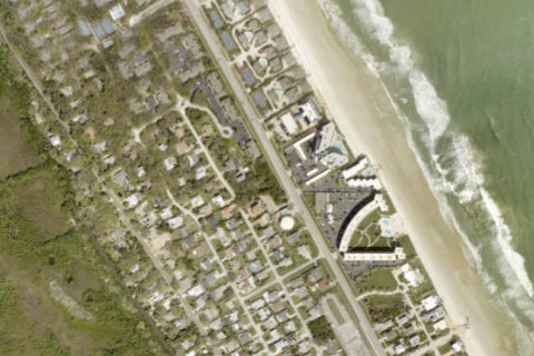 Satellite · reference point
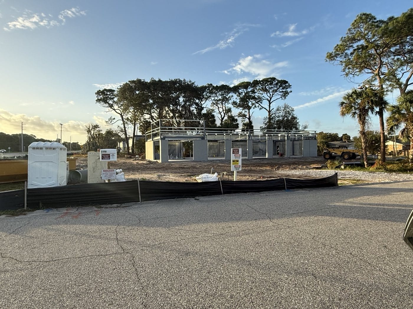 Photo
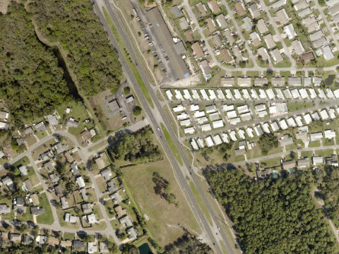 Satellite · reference point
Expand for details13 records · 2 photos · map & project info
Timeline and votes
Decisions & project history
Newest firstOwner field photos received
Record details & sources
Visible exterior work documented; capture date, interior completion and opening date are unconfirmed.
Supplied site photo ↗Edgewater · Original inspection result
Slab inspection approved
Record details & sources
The city records an Approved slab inspection with an actual inspection date of September 15, 2026 on building record COMN00072755226042800, permit 26-77, at 2350 South Ridgewood Avenue. This intermediate result is separate from the earlier cancelled appointment and does not establish a final inspection or certificate of occupancy.
Edgewater · Cancelled inspection appointment
Earlier slab inspection appointment cancelled
Record details & sources
The city marks the slab inspection scheduled for September 11 as Cancelled on September 14, 2026. The detail record supplies a cancellation date rather than an actual inspection date. This is not represented as a performed failed inspection; a later approved slab check is a separate record.
Edgewater · Original inspection results
Underground-electrical and first rough-plumbing checks approved
Record details & sources
The city records Approved underground-electrical piping and first rough-plumbing results, both inspected September 2, 2026, on building record COMN00072755226042800, permit 26-77, at 2350 South Ridgewood Avenue. The portal separately displays application status PermitNoContractor. These intermediate approvals are not final completion or occupancy permission.
Original underground-electrical inspection detail ↗ · Original first rough-plumbing result ↗
Volusia County Property Appraiser · Transaction index
County lists a nominal quitclaim transaction
Record details & sources
The county indexes a $100 quitclaim entry for the same parcel on April 1, 2026, instrument 2026058601, book 8834/page 4023, classified unqualified and vacant. The current parcel record lists Mohamad K Harb as owner. The nominal index amount is not presented as a market price; original deed parties and boundaries require the recorded instrument.
Site-plan approval reported
Record details & sources
The report lists Technical Review Committee approval; exact decision date is not established here.
Official city report · page 2 ↗Edgewater · Original planning case
Minor site-plan request listed for March review
Record details & sources
Original case SP-2513 describes a 4,021-square-foot automobile repair shop commonly known as Mike’s Tire Warehouse at 2350 South Ridgewood Avenue and lists March 3, 2026 as its agenda date. The case remains Agenda Ready with no action-history entries in the retrieved record; the separate January–March department report says the Technical Review Committee approved a 4,000-square-foot commercial building, without an exact approval date. These are separate source statements, not an invented March 3 approval or vote.
Engineering · Submitted site-plan drawing
Engineering site-plan set digitally signed
Record details & sources
The site-plan attachment to SP-2513 bears Steven R. Buswell’s January 28, 2026 digital signature. The attached survey identifies 2350 South Ridgewood Avenue and parcel 840200000424. The drawing signature is an authorship milestone; it does not establish when the city received or approved the plan.
Surveyor · Submitted boundary survey
Boundary field survey dated for the warehouse parcel
Record details & sources
The city case attachment identifies April 21, 2024 as the boundary survey’s field-survey date for 2350 South Ridgewood Avenue, parcel 840200000424, certified to Mohamad K Harb. The surveyor’s signature date is a separate field. This is the same parcel as the county record; a field survey is not a site-plan approval or construction authorization.
Volusia County Property Appraiser · Transaction index
County indexes $100,000 warranty-deed transaction
Record details & sources
The county parcel record for 840200000424, 2350 South Ridgewood Avenue, lists a February 9, 2024 warranty-deed transaction at $100,000, instrument 2024029474, book 8518/page 0442, classified qualified and vacant. This is indexed land history, not a development approval or a complete verified title chain.
Volusia County Property Appraiser · Parcel history
Quitclaim transfer listed
Record details & sources
The county property appraiser lists this QC-QUIT CLAIM DEED entry for parcel 840200000424 at book/page 8468 / 3895, instrument 2023203608. The listed amount is $100; the county classifies the entry as multi-parcel and the parcel as vacant at that time. The indexed amount is not verified as consideration solely attributable to this parcel or as the cost of the current proposal; original deed parties and transaction scope have not been reviewed.
Volusia County Property Appraiser · Parcel history
Warranty-deed transfer listed
Record details & sources
The county property appraiser lists this WD-WARRANTY DEED entry for parcel 840200000424 at book/page 5791 / 1178, instrument 2006070707. The listed amount is $2,485,200; the county classifies the entry as unqualified and the parcel as vacant at that time. The indexed amount is not verified as consideration solely attributable to this parcel or as the cost of the current proposal; original deed parties and transaction scope have not been reviewed.
Volusia County Property Appraiser · Parcel history
Warranty-deed transfer listed
Record details & sources
The county property appraiser lists this WD-WARRANTY DEED entry for parcel 840200000424 at book/page 5527 / 0463, instrument 2005088149. The listed amount is $1,360,000; the county classifies the entry as unqualified and the parcel as vacant at that time. The indexed amount is not verified as consideration solely attributable to this parcel or as the cost of the current proposal; original deed parties and transaction scope have not been reviewed.
Photos and map
Photos & map


Satellite view with a marker at the saved project reference. The marker is not a surveyed parcel boundary; imagery date unverified. Imagery: Esri, Maxar, Earthstar Geographics and the GIS User Community. Open satellite image · Open mapped reference
Project facts and sources
Project information & sources
- People & companies
County-listed owner: Mohamad K Harb · Site-plan engineer: Steven R. Buswell · Construction contractor unconfirmed. Matched county parcel record ↗
- Approvals & permits
Concrete walls and steel framing are shown in the received photos. Original city records show approved rough and slab checks; final completion and occupancy remain unconfirmed.
The county’s permit summary lists new-metal-building permit 26-77 with $750,000. This is a secondary listing, not a verified final cost or issuance date. The original city portal separately shows PermitNoContractor on the building, fire and sprinkler record pages while the building record contains approved intermediate inspections; neither field is presented as final completion or occupancy permission. County permit summary ↗
- Size & completion
Project size: 4,000-square-foot commercial warehouse.
Completion: See the dated approvals and project history.
Original planning case SP-2513 describes 4,021 square feet and an automobile-repair use called Mike’s Tire Warehouse; the quarterly department report describes a 4,000-square-foot commercial building. These different source descriptions are retained, not silently treated as an identical approved size or use. Original city case SP-2513 ↗
- Things to know
The city’s January–March 2026 report lists Technical Review Committee site-plan approval for Mike’s Discount Tire Warehouse, a 4,000-square-foot commercial building at 2350 South Ridgewood Avenue. Owner photos received October 31, 2026 show concrete walls and steel framing; the posted notice shows 2350. Enclosure, interior completion and opening date remain unconfirmed.
- Sources
Sources checked: More details ⌄
Additional original district/city/inspection records and matched commercial parcel histories checked November 10, 2026. Their dated actions and source limits are recorded separately above. Historical permit scopes, current pending reviews and intermediate inspections are not full lifecycle or construction-completion certifications.
County parcel transaction tables checked November 10, 2026. Amounts and vacant/improved labels describe the indexed transactions, not construction progress or appraised values. Multi-parcel amounts are not allocated to individual sites. The county cautions that these tables are not a complete chain of title; deed parties and boundaries require the original recorded instruments.
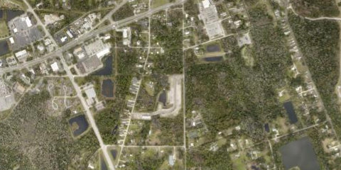 Satellite · reference point
Expand for details103 records · 2 vote records · map & project info
Timeline and votes
Decisions & project history
Newest firstSt. Johns River Water Management District · Application received
District reviews a request covering six Phase 2 lots
Record details & sources
A filing titled Old Mission Cove (Transfer) describes developing Lots 1–6 on Coronado Cove Road. The district received it November 9 and lists it as a pending permit-determination or exemption request at the November 12 check. The six lots are already part of the subdivision tracked here.
St. Johns River Water Management District · State permit history
Stormwater system accepted for homeowners association operation
Record details & sources
Permit 103458-3 transfers operation and maintenance to Old Mission Cove Homeowners Association Inc. The issued letter says the system has been constructed and is functioning in conformance with district requirements. The permit identifies a 10.77-acre stormwater scope; the city’s 11.2-acre subdivision scope and 37-home count remain separate.
St. Johns River Water Management District · State permit history
Stormwater closeout photographs submitted
Record details & sources
The developer sent photographs identified as taken September 8 at Old Mission Cove while seeking transfer to the homeowners association. The email also includes a separate Oak Leaf Preserve project; those records are not merged into this card. Applicant photographs are distinguished from the later district transfer decision.
St. Johns River Water Management District · State permit history
District performs inspection of the completed work
Record details & sources
The September 15 transfer report lists September 4 as the inspection of the completed work date and marks the project in compliance. This finding concerns the permitted stormwater system; it does not establish a certificate allowing the building to be occupied for every home.
St. Johns River Water Management District · State permit history
District accepts corrective conservation easement
Record details & sources
District legal-office correspondence identifies the corrective deed as approved and directs it to be marked final approved and sent for mapping. The earlier December submittal is explicitly marked not approved. This acceptance concerns the easement, not occupancy of all 37 homes.
Volusia County / St. Johns River Water Management District · Conservation easement
Corrective conservation easement recorded
Record details & sources
Instrument 2026122175, Official Records Book 8875, page 4005, records a corrective conservation easement naming Old Mission Cove Homeowners Association Inc. as grantor. It expressly corrects the grantor in the earlier Book 8788/page 871 deed. District acceptance followed in August.
New Smyrna Beach · Original occupancy certificates
1 home receives an occupancy certificate
Record details & sources
The city issued these address-specific occupancy certificates on Feb 5, 2026. The issue date is taken from each certificate, rather than its signature, upload or permit-finalization date.
544 CORONADO COVE RD · CO-000034-2026 · building permit BLDR-00430-2025 · CO 544 CORONADO COVE RD.pdf ↗
These certificates apply to the listed addresses. They do not establish completion of every planned home.
New Smyrna Beach · Permit finalization
Latest single-family permit finalization in reviewed set
Record details & sources
At 506 Coronado Cove Road, the house permit was marked complete January 15, 2026 and the city recorded a passed occupancy step. Among the reviewed records, 25 single-family and six townhouse permits are complete; six other townhouse applications still have fees due. These are permit counts, not independently checked occupancy certificates for every home.
New Smyrna Beach · Occupancy workflow
1 home occupancy task passes
Record details & sources
The city workflow lists Certificate allowing the building to be occupied Passed on this date for 544 Coronado Cove Road. BLDR-00430-2025. This is the dated workflow entry; the underlying certificate documents were not independently reviewed.
St. Johns River Water Management District · State permit history
District requests title and easement-signature corrections
Record details & sources
District counsel and compliance staff identified outdated title work and a mismatch between the named grantors and the homeowners association officer’s signature. They requested updated title and authority documents. Later July/August 2026 records document the corrective easement and acceptance.
St. Johns River Water Management District · State permit history
Initial conservation easement recorded
Record details & sources
The district’s December correspondence identifies a conservation easement recorded December 5 in Official Records Book 8788, page 871. Staff later required corrections to the named grantor and updated title evidence. Recording alone did not mean the district accepted the document.
St. Johns River Water Management District · State permit history
homeowners association applies to receive stormwater maintenance permit
Record details & sources
The district received the operation-and-maintenance transfer application, later numbered 103458-3. Its September 2026 report says recorded governing documents and plats were submitted that day to demonstrate the homeowners association’s property interest. A same-day district email identified the recorded conservation easement and mitigation-credit confirmation as outstanding compliance documents; later records show the corrective process and final transfer.
New Smyrna Beach · Occupancy workflow
1 home occupancy task passes
Record details & sources
The city workflow lists Certificate allowing the building to be occupied Passed on this date for 508 Coronado Cove Road. BLDR-00387-2025. This is the dated workflow entry; the underlying certificate documents were not independently reviewed.
New Smyrna Beach · Original occupancy certificates
1 home receives an occupancy certificate
Record details & sources
The city issued these address-specific occupancy certificates on Sep 11, 2025. The issue date is taken from each certificate, rather than its signature, upload or permit-finalization date.
537 CORONADO COVE RD · CO-000145-2025 · building permit BLDR-00392-2025 · CO 537 CORONADO COVE RD.pdf ↗
These certificates apply to the listed addresses. They do not establish completion of every planned home.
New Smyrna Beach · Occupancy workflow
1 home occupancy task passes
Record details & sources
The city workflow lists Certificate allowing the building to be occupied Passed on this date for 533 Coronado Cove Road. BLDR-00383-2025. This is the dated workflow entry; the underlying certificate documents were not independently reviewed.
New Smyrna Beach · Occupancy workflow
1 home occupancy task passes
Record details & sources
The city workflow lists Certificate allowing the building to be occupied Passed on this date for 537 Coronado Cove Road. BLDR-00392-2025. This is the dated workflow entry; the underlying certificate documents were not independently reviewed.
New Smyrna Beach · Occupancy workflow
2 home occupancy tasks pass
Record details & sources
The city workflow lists Certificate allowing the building to be occupied Passed on this date for 541, 505 Coronado Cove Road. BLDR-00379-2025, BLDR-00384-2025. This is the dated workflow entry; the underlying certificate documents were not independently reviewed.
New Smyrna Beach · Occupancy workflow
1 home occupancy task passes
Record details & sources
The city workflow lists Certificate allowing the building to be occupied Passed on this date for 503 Coronado Cove Road. BLDR-00395-2025. This is the dated workflow entry; the underlying certificate documents were not independently reviewed.
New Smyrna Beach · Original occupancy certificates
1 home receives an occupancy certificate
Record details & sources
The city issued these address-specific occupancy certificates on Jul 31, 2025. The issue date is taken from each certificate, rather than its signature, upload or permit-finalization date.
529 CORONADO COVE RD · CO-000125-2025 · building permit BLDR-00372-2025 · CO 529 CORONADO COVE RD.pdf ↗
These certificates apply to the listed addresses. They do not establish completion of every planned home.
New Smyrna Beach · Occupancy workflow
1 home occupancy task passes
Record details & sources
The city workflow lists Certificate allowing the building to be occupied Passed on this date for 529 Coronado Cove Road. BLDR-00372-2025. This is the dated workflow entry; the underlying certificate documents were not independently reviewed.
New Smyrna Beach · Original occupancy certificates
1 home receives an occupancy certificate
Record details & sources
The city issued these address-specific occupancy certificates on Jul 23, 2025. The issue date is taken from each certificate, rather than its signature, upload or permit-finalization date.
519 CORONADO COVE RD · CO-000119-2025 · building permit BLDR-00375-2025 · CO 519 CORONADO COVE RD.pdf ↗
These certificates apply to the listed addresses. They do not establish completion of every planned home.
New Smyrna Beach · Occupancy workflow
1 home occupancy task passes
Record details & sources
The city workflow lists Certificate allowing the building to be occupied Passed on this date for 519 Coronado Cove Road. BLDR-00375-2025. This is the dated workflow entry; the underlying certificate documents were not independently reviewed.
New Smyrna Beach · Occupancy workflow
1 home occupancy task passes
Record details & sources
The city workflow lists Certificate allowing the building to be occupied Passed on this date for 520 Coronado Cove Road. BLDR-00401-2025. This is the dated workflow entry; the underlying certificate documents were not independently reviewed.
New Smyrna Beach · Occupancy workflow
2 home occupancy tasks pass
Record details & sources
The city workflow lists Certificate allowing the building to be occupied Passed on this date for 517, 521 Coronado Cove Road. BLDR-00376-2025, BLDR-00374-2025. This is the dated workflow entry; the underlying certificate documents were not independently reviewed.
New Smyrna Beach · Original occupancy certificates
1 home receives an occupancy certificate
Record details & sources
The city issued these address-specific occupancy certificates on Jun 23, 2025. The issue date is taken from each certificate, rather than its signature, upload or permit-finalization date.
525 CORONADO COVE RD · CO-000100-2025 · building permit BLDR-00373-2025 · CO 525 CORONADO COVE RD.pdf ↗
These certificates apply to the listed addresses. They do not establish completion of every planned home.
New Smyrna Beach · Occupancy workflow
1 home occupancy task passes
Record details & sources
The city workflow lists Certificate allowing the building to be occupied Passed on this date for 507 Coronado Cove Road. BLDR-00315-2025. This is the dated workflow entry; the underlying certificate documents were not independently reviewed.
New Smyrna Beach · Original occupancy certificates
2 homes receive occupancy certificates
Record details & sources
The city issued these address-specific occupancy certificates on Jun 20, 2025. The issue date is taken from each certificate, rather than its signature, upload or permit-finalization date.
507 CORONADO COVE RD · CO-000099-2025 · building permit BLDR-00315-2025 · CO 507 CORONADO COVE RD.pdf ↗
518 CORONADO COVE RD · CO-000098-2025 · building permit BLDR-00400-2025 · CO 518 CORONADO COVE RD.pdf ↗These certificates apply to the listed addresses. They do not establish completion of every planned home.
New Smyrna Beach · Occupancy workflow
2 home occupancy tasks pass
Record details & sources
The city workflow lists Certificate allowing the building to be occupied Passed on this date for 525, 518 Coronado Cove Road. BLDR-00373-2025, BLDR-00400-2025. This is the dated workflow entry; the underlying certificate documents were not independently reviewed.
New Smyrna Beach · Original occupancy certificates
1 home receives an occupancy certificate
Record details & sources
The city issued these address-specific occupancy certificates on Jun 2, 2025. The issue date is taken from each certificate, rather than its signature, upload or permit-finalization date.
516 CORONADO COVE RD · CO-000087-2025 · building permit BLDR-01617-2024 · CO 516 CORONADO COVE RD.pdf ↗
These certificates apply to the listed addresses. They do not establish completion of every planned home.
New Smyrna Beach · Occupancy workflow
1 home occupancy task passes
Record details & sources
The city workflow lists Certificate allowing the building to be occupied Passed on this date for 516 Coronado Cove Road. BLDR-01617-2024. This is the dated workflow entry; the underlying certificate documents were not independently reviewed.
New Smyrna Beach · Occupancy workflow
1 home occupancy task passes
Record details & sources
The city workflow lists Certificate allowing the building to be occupied Passed on this date for 514 Coronado Cove Road. BLDR-01616-2024. This is the dated workflow entry; the underlying certificate documents were not independently reviewed.
New Smyrna Beach · Original occupancy certificates
3 homes receive occupancy certificates
Record details & sources
The city issued these address-specific occupancy certificates on Apr 14, 2025. The issue date is taken from each certificate, rather than its signature, upload or permit-finalization date.
509 CORONADO COVE RD · CO-000055-2025 · building permit BLDR-01610-2024 · CO 509 CORONADO COVE RD.pdf ↗
511 CORONADO COVE RD · CO-000053-2025 · building permit BLDR-01609-2024 · CO 511 CORONADO COVE RD.pdf ↗
513 CORONADO COVE RD · CO-000054-2025 · building permit BLDR-01608-2024 · CO 513 CORONADO COVE RD.pdf ↗These certificates apply to the listed addresses. They do not establish completion of every planned home.
New Smyrna Beach · Occupancy workflow
1 home occupancy task passes
Record details & sources
The city workflow lists Certificate allowing the building to be occupied Passed on this date for 515 Coronado Cove Road. BLDR-01607-2024. This is the dated workflow entry; the underlying certificate documents were not independently reviewed.
New Smyrna Beach · Occupancy workflow
2 home occupancy tasks pass
Record details & sources
The city workflow lists Certificate allowing the building to be occupied Passed on this date for 509, 513 Coronado Cove Road. BLDR-01610-2024, BLDR-01608-2024. This is the dated workflow entry; the underlying certificate documents were not independently reviewed.
New Smyrna Beach · Occupancy workflow
1 home occupancy task passes
Record details & sources
The city workflow lists Certificate allowing the building to be occupied Passed on this date for 511 Coronado Cove Road. BLDR-01609-2024. This is the dated workflow entry; the underlying certificate documents were not independently reviewed.
New Smyrna Beach · Occupancy workflow
3 home occupancy tasks pass
Record details & sources
The city workflow lists Certificate allowing the building to be occupied Passed on this date for 510, 512, 504 Coronado Cove Road. BLDR-01611-2024, BLDR-01612-2024, BLDR-00052-2025. This is the dated workflow entry; the underlying certificate documents were not independently reviewed.
New Smyrna Beach · Original occupancy certificates
1 home receives an occupancy certificate
Record details & sources
The city issued these address-specific occupancy certificates on Mar 13, 2025. The issue date is taken from each certificate, rather than its signature, upload or permit-finalization date.
504 CORONADO COVE RD · CO-000037-2025 · building permit BLDR-00052-2025 · CO 504 CORONADO COVE RD.pdf ↗
These certificates apply to the listed addresses. They do not establish completion of every planned home.
New Smyrna Beach · Original occupancy certificates
2 homes receive occupancy certificates
Record details & sources
The city issued these address-specific occupancy certificates on Mar 12, 2025. The issue date is taken from each certificate, rather than its signature, upload or permit-finalization date.
510 CORONADO COVE RD · CO-000036-2025 · building permit BLDR-01611-2024 · CO 510 CORONADO COVE RD.pdf ↗
512 CORONADO COVE RD · CO-000035-2025 · building permit BLDR-01612-2024 · CO 512 CORONADO COVE RD.pdf ↗These certificates apply to the listed addresses. They do not establish completion of every planned home.
New Smyrna Beach · Building permit
First issued single-family permit in reviewed result set
Record details & sources
BLDR-01612-2024 at 512 Coronado Cove Road has the earliest issue date among the 25 unique completed-status single-family permits in the reviewed street results. It was finalized March 18, 2025. Earlier unissued or withdrawn applications are not counted as construction starts.
New Smyrna Beach · Building applications
Eight single-family home applications filed
Record details & sources
Eight of the subsequently completed-status single-family permits were applied for on October 17. The other completed-status single-family applications were filed during January and February 2025. Withdrawn and void applications are excluded from the unique-parcel completion count.
Volusia County · Community governing documents
Community declaration recorded
Record details & sources
Instrument 2024147123, Official Records Book 8588/page 2729, records the Declaration of Covenants and Restrictions for Old Mission Cove. The recorded copy was later submitted in support of the homeowners association’s stormwater maintenance transfer. Recording governing documents does not establish completion or occupancy of all homes.
New Smyrna Beach · Building review
Review passes for an unissued townhouse application
Record details & sources
The detail for BLDR-03074-2023, described as unit 6 of a sixplex at 573 Coronado Cove Road, records Building Permit Review Passed March 8 after a January 24 Not Passed entry. Final permit-fee collection, utilities receipt, permit issuance and certificate allowing the building to be occupied remain not started in the displayed workflow as checked October 24, 2026. This is a review milestone, not permit issuance.
New Smyrna Beach · Original occupancy certificates
5 homes receive occupancy certificates
Record details & sources
The city issued these address-specific occupancy certificates on Mar 6, 2024. The issue date is taken from each certificate, rather than its signature, upload or permit-finalization date.
551 CORONADO COVE RD · CO-000072-2024 · building permit BLDR-01787-2023 · CO 551 CORONADO COVE RD.pdf ↗
555 CORONADO COVE RD · CO-000073-2024 · building permit BLDR-01789-2023 · CO 555 CORONADO COVE RD.pdf ↗
557 CORONADO COVE RD · CO-000074-2024 · building permit BLDR-01790-2023 · CO 557 CORONADO COVE RD.pdf ↗
559 CORONADO COVE RD · CO-000076-2024 · building permit BLDR-01791-2023 · CO 559 CORONADO COVE RD.pdf ↗
561 CORONADO COVE RD · CO-000075-2024 · building permit BLDR-01792-2023 · CO 561 CORONADO COVE RD.pdf ↗These certificates apply to the listed addresses. They do not establish completion of every planned home.
New Smyrna Beach · Permit finalization
Sixth first-phase townhouse permit finalized
Record details & sources
BLDR-01787-2023 at 551 Coronado Cove Road is Complete with finalized date February 20. Together with the five February 19 records, this accounts for six completed-status townhouse permits.
New Smyrna Beach · Permit finalization
Five townhouse permits finalized
Record details & sources
The city records mark the townhouse permits at 553, 555, 557, 559 and 561 Coronado Cove Road Complete with finalized dates February 19. This is the permit-system status; individual occupancy certificates have not all been separately examined. The city workflow lists Certificate allowing the building to be occupied Passed on this date for 553 Coronado Cove Road. BLDR-01788-2023. This is the dated workflow entry; the underlying certificate documents were not independently reviewed.
New Smyrna Beach · Building applications
Remaining six townhouse applications filed
Record details & sources
Six applications cover 563–573 Coronado Cove Road. As checked October 24, 2026, all six display Fees Due with blank issue and finalized dates. They are applications, not six issued permits or proof that these homes were built.
New Smyrna Beach · Application history
Early single-family applications later withdrawn
Record details & sources
Applications BLDR-02941-2023 for 503 Coronado Cove Road and BLDR-02950-2023 for 505 were filed December 2 and 4. Both show Withdrawn, no issue date and finalization January 13, 2025. Later issued permits for these same parcels are counted once in the completed-home permit total.
St. Johns River Water Management District · State permit history
Engineer signs stormwater as-built certification
Record details & sources
Kevin Lee, P.E., signed the as-built certification for permit 103458-2, checking substantial conformance with permitted plans and conditions and requesting conversion to operation. This is the engineer’s certification, separate from the district’s September 2026 inspection and homeowners association transfer; it does not certify completion or occupancy of every home.
New Smyrna Beach · Building permits
First six townhouse permits issued
Record details & sources
The six permits for 551–561 Coronado Cove Road each show an August 14 issue date. Permit issuance is distinguished from their later February 2024 finalization.
New Smyrna Beach · Building applications
First six townhouse applications filed
Record details & sources
Six Residential Townhouse applications were filed for 551–561 Coronado Cove Road. The city records subsequently show issue dates August 14, 2023 and Complete status in February 2024. These are distinct from the six December applications for 563–573.
Volusia County · Recorded plats
Both subdivision plats recorded
Record details & sources
The recorded copies filed with the district show Old Mission Cove Phase 1 in Map Book 64, pages 190–191, and Phase 2 in pages 192–193, recorded May 19, 2023. Phase 1 contains 14 lots and Phase 2 contains 23, preserving the 37-lot total. Recording is separate from the June 2021 Commission decision and does not certify all homes complete.
New Smyrna Beach City Commission · Adoption
Commission adopts street vacation unanimously
Record details & sources
The city’s August 10 Summary of Action records Ordinance 29-21, vacating portions of Booker and Conner avenues, as unanimously adopted under item 8.A. Individual ballots are not separately printed in that action summary.
City Commission · Decision
Lot map denied, reconsidered, then approved
Record details & sources
The initial approval motion failed 2–3, with McGuirk, Sachs and Owen named as no votes. A separate motion to reconsider passed unanimously, followed by unanimous approval of the plat. The minutes do not separately name each individual ballot on the two unanimous motions.
New Smyrna Beach City Commission · First review of the proposed law
Street-vacation ordinance receives first review of the proposed law
Record details & sources
Ordinance 29-21 was read for the first time. The minutes scheduled the second review of the proposed law for August 10. The request concerns about 0.665 acres of unopened Booker/Conner rights-of-way; first review of the proposed law did not itself adopt the vacation.
Planning and Zoning Board · Recommendation
Board recommends approval
Recommendation passed 6–0Who voted?
Stephen Snively YESSandra Smith YESSusan Neylon YESKip Hulvershorn YESJohn Causey YESSteve Danskine YESRecord details & sources
Planning and Zoning Board · Recommendation
Board recommends removing unused road rights-of-way
Recommendation passed 6–0Who voted?
Stephen Snively YESSandra Smith YESSusan Neylon YESKip Hulvershorn YESJohn Causey YESSteve Danskine YESRecord details & sources
Volusia County · Recorded state notice
State permit notice recorded in county records
Record details & sources
The recorded notice for Environmental Resource Permit 103458-2 was filed May 11, 2021 as instrument 2021109092, Official Records Book 8045, pages 2119–2121. It gives notice of the permit and transfer/completion obligations. The notice expressly says it is informational and is not a lien or encumbrance; recording is separate from permit issuance.
St. Johns River Water Management District · State permit history
State issues stormwater construction permit
Record details & sources
Environmental Resource Permit 103458-2 authorizes the stormwater system serving the roughly 10.8-acre project. The staff report describes dry-retention pretreatment and wet detention, 0.88 acres of wetland preservation, and use of previously purchased mitigation credits. State authorization does not replace city plat approval or other required permits.
St. Johns River Water Management District · State permit history
Review complete pending remaining application fee
Record details & sources
Staff acknowledged revised title evidence and said its review portion was complete, but a $920 balance was required before issuance. The issued permit followed March 31; this dated fee notice is not evidence of a current unpaid balance.
St. Johns River Water Management District · State permit history
Draft easement accepted; current title evidence still needed
Record details & sources
District staff said the revised draft conservation easement now had the required material. The remaining title opinion had aged beyond 90 days and needed updating before permit issuance.
St. Johns River Water Management District · State permit history
District confirms corrected easement description closes
Record details & sources
Staff confirmed acceptable closure for Parcel 2 and requested a complete draft easement package using the approved descriptions for processing the technical staff report. This cleared a survey issue, not the entire permit process.
St. Johns River Water Management District · State permit history
Easement legal description requires another correction
Record details & sources
Staff confirmed that Parcel 2 still did not close following the October revision and requested a corrected, legible legal description. Later February correspondence records acceptable closure.
St. Johns River Water Management District · State permit history
Updated title and mortgagee consent requested
Record details & sources
Staff requested refreshed title evidence because the previous opinion was over 90 days old and asked for the referenced mortgagee-consent form. The conservation-easement response remained partial; this was not a permit denial.
St. Johns River Water Management District · State permit history
Applicant submits revised easement and company authority
Record details & sources
The response includes a revised draft conservation easement, mortgagee consent and affidavits for both Old Mission Cove LLC and Southern Trends Development LLC. It reports correction of a parcel legal description. These draft materials are distinct from the easement recorded in 2025 and corrected in 2026.
St. Johns River Water Management District · State permit history
Survey review finds one easement description does not close
Record details & sources
District staff reported acceptable closure for one of two conservation-easement descriptions, while Parcel 2 required correction. Mortgagee consent, grantor authority and the relationship to vacated streets also remained under review. This survey issue was later resolved before permit issuance.
St. Johns River Water Management District · State permit history
Conservation-easement ownership and title issues addressed
Record details & sources
The engineer responds to April 23 review comments with a revised easement, title opinion and homeowners association articles. The response adds Southern Trends Development LLC as a grantor, explains title/legal descriptions and addresses district access. These were draft-review steps before issuance.
St. Johns River Water Management District · State permit history
District identifies remaining easement and ownership questions
Record details & sources
Staff requested completed grantor/signature information, matching title descriptions, current title work, encumbrance evidence, LLC authority and access information. The draft declarations were sufficient, but the overall response remained partial.
St. Johns River Water Management District · State permit history
Applicant submits revised engineering and legal package
Record details & sources
The engineer’s response to August 2019 comments includes revised construction plans, stormwater calculations, title searches, deeds and draft homeowners association/conservation documents. It also identifies an environmental submittal made January 9. Submission is not the later March 2021 permit decision.
St. Johns River Water Management District · State permit history
January environmental response remains partial
Record details & sources
The district acknowledged the January 9 environmental submittal but said the draft easement lacked sketch/legal exhibits and that title evidence and revised homeowners association documents remained outstanding. Staff requested a complete response before further legal review.
St. Johns River Water Management District · State permit history
Staff warns unresolved application could face administrative denial
Record details & sources
Staff asked for the status of outstanding conservation-easement documents and warned that an administrative-denial process could begin if resolution was not close. This was a warning, not an issued denial; the application subsequently received a March 2021 permit.
St. Johns River Water Management District · State permit history
Environmental report describes an earlier 40-home design
Record details & sources
The revised report describes 28 single-family homes plus 12 townhomes across approximately 11.5 acres. That is a historical proposal, distinct from the 25 single-family plus 12 townhomes approved by the city in June 2021. Its site history also identifies the unbuilt 2006 and 2008 predecessors.
St. Johns River Water Management District · State permit history
Engineering requests nutrient-analysis correction
Record details & sources
District engineering staff required preserved basins B and C to be removed from the pre- and post-development project area used in nutrient-loading calculations. This was a review comment on the August 5 submittal.
St. Johns River Water Management District · State permit history
District seeks mitigation and conservation-document revisions
Record details & sources
Staff requested a comparable ratio-based mitigation analysis and a separately recorded conservation easement, together with ownership evidence and homeowners association stormwater-maintenance language. The email says existing credits may be sufficient; it is not final approval.
St. Johns River Water Management District · State permit history
Revised plans received for later state permit
Record details & sources
The 2021 permit and the 2026 operation permit both identify plans received August 5, 2019 as the approved design basis. This is a plan-receipt date, separate from the March 2021 permit issue date.
St. Johns River Water Management District · State permit history
Environmental consultant submits revised wetland response
Record details & sources
Biological Consulting Services submitted revised support documents and Section C in response to the October 2018 information request. The letter says required wetland mitigation had decreased and leaves engineering and homeowners association-document items for other team members to address.
St. Johns River Water Management District · State permit history
Wetland boundaries reviewed during field inspection
Record details & sources
The environmental consultant’s March 2019 response documents a December 6 site inspection with the district and says revised exhibits reflect surveyed wetland boundaries reviewed and approved in the field. Boundary review is separate from authorization for wetland impacts.
St. Johns River Water Management District · State permit history
District requests wetland and engineering information
Record details & sources
The information request calls for a wetland-line site inspection, surveyed boundaries, impact/mitigation information, homeowners association maintenance documents and stormwater calculations. It is a review request, not a denial or construction authorization.
Florida Division of Historical Resources · Review
State historic-preservation office requests a resource survey
Record details & sources
Florida Division of Historical Resources file 2018-5124 says the project area had not been surveyed for archaeological and historical properties and recommends a professional cultural-resources assessment survey. This letter is a request for further study, not a finding that the project has no historic-resource effects.
St. Johns River Water Management District · State permit history
State receives Old Mission Cove application
Record details & sources
The district received the new Old Mission Cove environmental-resource application October 2. The later issued permit is 103458-2; early correspondence uses application 155322-1. Listed applicants were Southern Trends Development LLC and Old Mission Cove LLC.
Project record · Record
Application submitted in late 2018
Record details & sources
St. Johns River Water Management District · State permit history
Separate western-parcel predecessor permit issued
Record details & sources
Original permit 42-127-110366-1 authorized a retention-based stormwater system for the 1.73-acre Old Mission Road Condos project, using plans received January 18, 2008. The district record gives a February 15, 2013 expiration. The later Old Mission Cove environmental report identifies this western-parcel predecessor as unbuilt; it is separate from the 37-lot approval.
St. Johns River Water Management District · State permit history
Condominium application completed for state review
Record details & sources
The original technical report lists January 18 as Date Completed and the issued permit cites plans received that day. Application completeness and plan receipt are distinct from February 15 authorization and do not establish construction.
St. Johns River Water Management District · State permit history
Final dated condominium response clarifies bypass drainage
Record details & sources
The engineer describes extending the southern swale so adjacent runoff bypasses the proposed retention system and revising contours. The district received the plans January 18 and later issued the permit February 15. This is the applicant response, not independent certification of built drainage.
St. Johns River Water Management District · State permit history
District seeks remaining offsite-drainage corrections
Record details & sources
Staff reviewed the December 3 response and requested further clarification of offsite drainage and contours. This continued review was followed by the January response and February permit; it was not a project denial.
St. Johns River Water Management District · State permit history
Further condominium revisions submitted
Record details & sources
The engineer’s dated letter submits revised plans, calculations and responses to August comments. The district’s later request identifies receipt December 3. The letter and receipt are part of one response sequence, not two approvals.
St. Johns River Water Management District · State permit history
Condominium review still requires corrections
Record details & sources
Staff said the July 18 response did not adequately address remaining application and technical questions, including applicant-address consistency. Further revisions were requested before the later permit was issued.
St. Johns River Water Management District · State permit history
Condominium engineer submits revised plans and calculations
Record details & sources
Alann Engineering’s letter submits revised plans, calculations and a response form addressing district comments. Staff’s later letter identifies receipt on July 18. Submission is not final approval.
St. Johns River Water Management District · State permit history
Florida Division of Historical Resources sets conditional historic-building review for condo predecessor
Record details & sources
Florida Division of Historical Resources listed Old Mission Road Condos, file 2007-03582, in a letter requiring additional review if construction would alter or demolish buildings at least 50 years old. Vacant sites or younger buildings required no further review under that letter. The letter alone does not establish which condition applied on the site.
St. Johns River Water Management District · State permit history
District requests condominium application and engineering information
Record details & sources
The first information request calls for corrected applicant/entity information and additional technical documentation for Old Mission Road Condos. It is a review request, separate from the February 2008 permit.
St. Johns River Water Management District · State permit history
District conducts condominium-site inspection
Record details & sources
The original site-evaluation form records a March 30 inspection by district staff for Old Mission Road Condos. It describes the earlier proposed 14-unit residential community and stormwater infrastructure. The later archive scan date is not another inspection.
St. Johns River Water Management District · State permit history
Western-parcel condominium application received
Record details & sources
The original district report dates the Old Mission Road Condos application to March 19, 2007. It proposed two three-unit and two four-unit condominium buildings on 1.73 acres, with parking, access and interconnected dry-retention ponds. This 14-unit predecessor is not the later approved Old Mission Cove lot count.
St. Johns River Water Management District · State permit history
Mitigation-bank credit purchase documented
Record details & sources
A notice confirms payment for 0.8 Farmton Mitigation Bank credits for the earlier Ingham Road Subdivision, permit 103458-1. The 2021 staff report identifies those credits in its mitigation analysis for Old Mission Cove. This is not evidence of a second purchase in 2025, when the document was resubmitted.
St. Johns River Water Management District · State permit history
Earlier subdivision stormwater permit issued
Record details & sources
The original permit 40-127-103458-1 authorizes a stormwater system for the earlier 27-lot Ingham Road single-family subdivision. The district’s current predecessor record marks it Closed, expired October 5, 2011, with the project not constructed. The later Old Mission Cove application was reviewed as a new project.
St. Johns River Water Management District · State permit history
Earlier subdivision application reaches completeness
Record details & sources
The original technical staff report lists September 13 as Date Completed for the Ingham Road application. That is application completeness, distinct from the October 5 permit issue date and any physical construction.
St. Johns River Water Management District · State permit history
Revised subdivision engineering plans submitted
Record details & sources
The engineer’s letter describes corrected outlet calculations and revised plans responding to district comments. This dated letter is in a file indexed September 13; its date is retained rather than treating the archive index as a second decision.
St. Johns River Water Management District · State permit history
Environmental consultant answers subdivision review
Record details & sources
Environmental Services responded to the August 15 request with applicant/entity and signature information and wetland seasonal-water-level explanations. The district received this material September 7. The response is separate from the engineering revisions and permit issuance.
St. Johns River Water Management District · State permit history
Further subdivision engineering and environmental information requested
Record details & sources
Staff said earlier responses were insufficient and requested corrected outlet-recovery calculations, minimum outlet sizing and additional application/environmental information. The later October permit records the eventual authorization; this letter is not an issued denial.
St. Johns River Water Management District · State permit history
Engineer responds to earlier subdivision review
Record details & sources
Daniel Johns submitted a dated response describing revised floodplain mapping, pond routing, outlet calculations and plans, with a separate biological response. The district received the response July 20. These are applicant revisions, not final district acceptance.
St. Johns River Water Management District · State permit history
Earlier condominium stormwater report prepared
Record details & sources
A district-filed report is dated June 23, 2006 and describes the western 1.73-acre site as vacant with a proposed dry-retention system. This is an earlier design document for Old Mission Road Condominiums, not its later application-receipt or permit-issue date. The archive upload in 2008 is not a new project approval.
St. Johns River Water Management District · State permit history
Mitigation credits reserved for earlier subdivision
Record details & sources
The original reservation notice sets aside 0.8 Farmton North mitigation-bank credits for Southern Trends Development LLC and Ingham Road Subdivision. Reservation is distinct from the October 31 payment/purchase confirmation already documented.
St. Johns River Water Management District · State permit history
District requests revisions to earlier subdivision application
Record details & sources
For Ingham Road Subdivision, staff requested floodplain documentation, changes to interconnected detention ponds and outlet calculations, and additional environmental/application information. This review request preceded the October 2006 permit and is not a denial.
St. Johns River Water Management District · State permit history
Historic-resource review finds earlier proposal unlikely to affect sites
Record details & sources
The original Florida Division of Historical Resources letter lists Ingham Road Subdivision, permit 103458-1, among projects with no significant recorded archaeological or historical resources and no likely effects based on location or project nature. This dated predecessor review does not resolve the separate October 2018 request for a cultural-resource survey.
St. Johns River Water Management District · State permit history
Earlier Ingham Road subdivision application received
Record details & sources
The district’s predecessor record dates the application for Ingham Road Subdivision to January 27, 2006. Its later permit authorized a 27-lot single-family stormwater system. This was an earlier, unbuilt proposal, separate from the city’s later 37-lot Old Mission Cove approval.
Photos and map
Photos & map
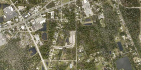
Project facts and sources
Project information & sources
- Approvals & permits
Homes have been built and the community is listed as sold out. We have not confirmed whether every planned home is finished.
- Size & completion
Planned / reported: 37 homes
Cleared to live in: At least 19 homes
Homes sold: Builder reports sold out; recorded sales count unverified
19 distinct address-specific issued occupancy certificates were checked in the city’s original PDF files November 10, 2026. The county parcel roster identifies 37 residential addresses across Old Mission Cove phases 1 and 2; certificates for the other addresses remain unverified.
Full completion unconfirmed.
- Things to know
31 home permits marked complete · checked October 24, 2026. They cover 25 single-family homes and six townhouses; their city records also show passed occupancy steps. The underlying certificates have not been checked. Six other townhouse applications still have fees due and no issue dates.
St. Johns River Water Management District accepted the constructed stormwater system for homeowners association operation on September 15, 2026, after a September 4 as-built inspection and acceptance of a corrected conservation easement. This does not confirm every home is finished. The city’s 37-lot scope remains 25 single-family lots and 12 townhome lots.
Built homes, with six townhouse applications still waiting. Jome lists D.R. Horton’s Old Mission Cove as sold out. A listing at 573 Coronado Cove Road advertises six cleared townhouse lots matching applications for 563–573. On October 28, those applications still showed fees due and no issued permits. The recorded lot-map connection and completion of every approved home remain unconfirmed. Jome lists the D.R. Horton community as sold out · current listing at 573 Coronado Cove Road
- Sources
Sources checked: Oct 24, 2026 · New district filings Nov 12, 2026
Original city case fields and issued occupancy certificates checked November 10, 2026. Current case statuses, application dates, issue dates and case-closure fields are separate facts. Building permits or file closure alone do not establish overall completion or permission to occupy.
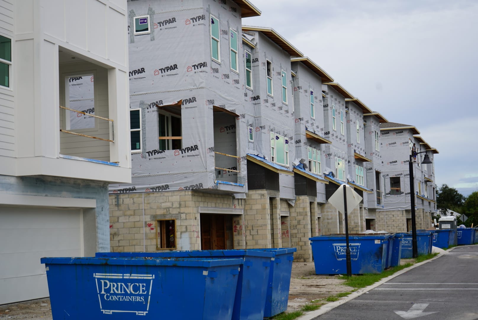 Photo
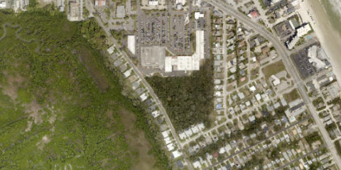 Satellite · reference point
Expand for details151 records · 7 vote records · 1 photo · map & project info
Timeline and votes
Decisions & project history
Newest firstNew Smyrna Beach · Original permit case
Permit file closure date recorded · ELEC-00040-2026
Record details & sources
The city lists Nov 2, 2026 in the Finalized Date field for ELEC-00040-2026. The case is categorized as commercial electrical service new/upgrade/change, at 16101 EVENTIDE LN NEW SMYRNA BEACH, FL 32169, on parcel 741600000310. The work covers voice and data cabling, CCTV cameras and access-control cabling. When checked November 10, 2026, this permit case had status “Complete”. A closed permit file alone does not establish an issued occupancy certificate.
City public records · Dated source record
Building 6: inspection passed
Record details & sources
Scope: Building 6 under BLDC-00071-2026.
IBLD-020939-2026: Passed. Stucco Mesh. City inspection detail ↗
New Smyrna Beach city map · Dated source check
City map checked; published case information recorded
Record details & sources
Case SP-23-22: 77 Town houses units. City map status: Under Construction. Approval body listed: City Commission Approval. Approval date listed: Jun 27, 2023.
This is the map information available at the check, not a new city decision. Individual votes, applicant, builder and permit history are not supplied by this map.
Builder source · Source review
Builder and community information checked
Record details & sources
Tri Pointe currently markets 75 townhomes at EvenTide and lists move-in-ready homes. The historical city approval describes 77 homes. The city-filed approved 2025 civil plans now corroborate 75; both source dates remain distinct.
Official builder sourceCity public records · Dated source record
Building 6: inspection passed
Record details & sources
Scope: Building 6 under BLDC-00071-2026.
IBLD-020576-2026: Passed. Building Fire Rated Assembly. City inspection detail ↗
City public records · Dated source record
Outdoor grill structure: inspection results recorded
Record details & sources
Scope: Outdoor grill structure under BLDC-00041-2026.
IBLD-020589-2026: Re-inspection required. Building Final. City inspection detail ↗
IELE-020588-2026: Re-inspection required (with fee). Electrical Final. City inspection detail ↗
IFIRE-020587-2026: Passed. Fire Final. City inspection detail ↗
City public records · Dated source record
Building 6: reinspection requested
Record details & sources
Scope: Building 6 under BLDC-00071-2026.
IBLD-020489-2026: Re-inspection required. Building Fire Rated Assembly. City inspection detail ↗
City public records · Dated source record
Building 6: partial inspection recorded
Record details & sources
Scope: Building 6 under BLDC-00071-2026.
IBLD-020202-2026: Partial Pass. Building Fire Rated Assembly. City inspection detail ↗
New Smyrna Beach · Original permit case
Permit file closure date recorded · FIRE-00043-2026
Record details & sources
The city lists Oct 9, 2026 in the Finalized Date field for FIRE-00043-2026. The case is categorized as fire alarm, at 3101 TIDEWATCH LOOP NEW SMYRNA BEACH, FL 32169, on parcel 741600000310. When checked November 10, 2026, this permit case had status “Complete”. A closed permit file alone does not establish an issued occupancy certificate.
New Smyrna Beach · Original permit case
Permit file closure date recorded · FIRE-00034-2026
Record details & sources
The city lists Oct 9, 2026 in the Finalized Date field for FIRE-00034-2026. The case is categorized as fire sprinkler, at 3101 TIDEWATCH LOOP NEW SMYRNA BEACH, FL 32169, on parcel 741600000310. When checked November 10, 2026, this permit case had status “Complete”. A closed permit file alone does not establish an issued occupancy certificate.
City public records · Dated source record
Building 5: inspection passed
Record details & sources
Scope: Building 5 under BLDC-00070-2026.
IBLD-019574-2026: Passed. The insulation inspection passed on October 7. City inspection detail ↗
City public records · Dated source record
Building 5: inspection passed
Record details & sources
Scope: Building 5 under BLDC-00070-2026.
IBLD-019213-2026: Passed. Flashing passed; comment excepted two small first-floor side scab roofs to be completed by siding crew. Earlier canceled/no access event remains historical. City inspection detail ↗
City public records · Dated source record
Building 5: inspection passed
Record details & sources
Scope: Building 5 under BLDC-00070-2026.
IBLD-019092-2026: Passed. Roof-in-progress passed after prior cancellation; do not treat earlier shingles-not-started comment as present condition. City inspection detail ↗
City public records · Dated source record
Pedestrian gates and dog-park fence: partial inspection recorded
Record details & sources
Scope: Pedestrian gates and dog-park fence under ENG-00070-2026.
IBLD-019229-2026: Partial Pass. City inspection detail ↗
City public records · Dated source record
Outdoor grill structure: inspection results recorded
Record details & sources
Scope: Outdoor grill structure under BLDC-00041-2026.
IBLD-019044-2026: Re-inspection required. Building Final. City inspection detail ↗
IELE-019041-2026: Re-inspection required. Electrical Final. City inspection detail ↗
IENG-019042-2026: Passed. Engineering Final. City inspection detail ↗
IFIRE-019043-2026: Re-inspection required. Fire Final. City inspection detail ↗
City public records · Dated source record
Pedestrian gates and dog-park fence: reinspection requested
Record details & sources
Scope: Pedestrian gates and dog-park fence under ENG-00070-2026.
IBLD-019048-2026: Re-inspection required. City inspection detail ↗
City public records · Dated source record
Pool cabanas: permit marked complete
Record details & sources
Scope: Pool cabanas under BLDC-00040-2026.
IELE-019074-2026: Passed. Electrical Final. City inspection detail ↗
IELE-019075-2026: Passed. Electrical Rough Wiring. City inspection detail ↗
Permit marked complete. Three8ftx8ft cabanas,64sf each, at community amenity pool. Original city permit ↗
City public records · Dated source record
Building 5: inspection passed
Record details & sources
Scope: Building 5 under BLDC-00070-2026.
IBLD-018811-2026: Passed. Framing pass follows earlier partial inspection; earlier missing on-site roof engineering copy is historical, not an unresolved present finding. City inspection detail ↗
City public records · Dated source record
Building 6: inspection passed
Record details & sources
Scope: Building 6 under BLDC-00071-2026.
IBLD-018808-2026: Passed. Building Above Ceiling Rough-in. City inspection detail ↗
City public records · Dated source record
Outdoor grill structure: inspection results recorded
Record details & sources
Scope: Outdoor grill structure under BLDC-00041-2026.
IELE-018666-2026: Re-inspection required. Electrical Final. City inspection detail ↗
IGAS-018798-2026: Passed. Gas Final. City inspection detail ↗
City public records · Dated source record
Building 6: partial inspection recorded
Record details & sources
Scope: Building 6 under BLDC-00071-2026.
IBLD-018542-2026: Partial Pass. Building Above Ceiling Rough-in. City inspection detail ↗
City public records · Dated source record
Outdoor grill structure: inspection passed
Record details & sources
Scope: Outdoor grill structure under BLDC-00041-2026.
IGAS-018667-2026: Passed. Gas Vents. City inspection detail ↗
City public records · Dated source record
Building 5: inspection results recorded
Record details & sources
Scope: Building 5 under BLDC-00070-2026.
IBLD-018458-2026: Canceled. Roofers absent and no ladder/access; cancellation not failed construction or passed inspection. This is a canceled request, not a passed or failed inspection. City inspection detail ↗
IBLD-018459-2026: Canceled. Canceled by superintendent because shingle work had not begun; not failed work or passed construction. This is a canceled request, not a passed or failed inspection. City inspection detail ↗
City public records · Dated source record
Pedestrian gates and dog-park fence: partial inspection recorded
Record details & sources
Scope: Pedestrian gates and dog-park fence under ENG-00070-2026.
IBLD-018582-2026: Partial Pass. City inspection detail ↗
City public records · Dated source record
Building 5: inspection results recorded
Record details & sources
Scope: Building 5 under BLDC-00070-2026.
IBLD-018457-2026: Passed. City inspection detail ↗
IBLD-018456-2026: Partial Pass. Roof trusses excluded from this partial scope; inspector noted missing on-site roof engineering hard copy and tablet download limitation; later September29 framing pass retained. City inspection detail ↗
City public records · Dated source record
Building 5: inspection results recorded
Record details & sources
Scope: Building 5 under BLDC-00070-2026.
IELE-018282-2026: Passed. City inspection detail ↗
IELE-018279-2026: Passed. City inspection detail ↗
IELE-018281-2026: Partial Pass. The September 22 site-work note said service grounding was still needed. This is the recorded condition on that inspection date. City inspection detail ↗
IMECH-018283-2026: Passed. City inspection detail ↗
IMECH-018277-2026: Passed. City inspection detail ↗
IMECH-018276-2026: Passed. City inspection detail ↗
IBLD-018275-2026: Passed. City inspection detail ↗
City public records · Dated source record
Amenity fence and enclosures: permit marked complete
Record details & sources
Scope: Amenity fence and enclosures under ENG-00040-2026.
IFIRE-018291-2026: Passed. City inspection detail ↗
Permit marked complete. Amenity building/pool fence, gates, tabby wall and pool equipment enclosure. Original city permit ↗
City public records · Dated source record
Building 5: inspection canceled
Record details & sources
Scope: Building 5 under BLDC-00070-2026.
IBLD-018131-2026: Canceled. Contractor-requested cancellation; not a failed or passed inspection. This is a canceled request, not a passed or failed inspection. City inspection detail ↗
City public records · Dated source record
Low-voltage cabling: inspection passed
Record details & sources
Scope: Low-voltage cabling under ELEC-00040-2026.
IELE-017496-2026: Passed. City inspection detail ↗
City public records · Dated source record
Building 5: inspection passed
Record details & sources
Scope: Building 5 under BLDC-00070-2026.
IPLM-016830-2026: Passed. City inspection detail ↗
New Smyrna Beach · Original residential occupancy certificate
City issues occupancy certificate for six Building 2 condos
Record details & sources
Certificate CO-000151-2026 gives an issued date of August 26, 2026 for 2000 Tidewatch Loop and lists six units: 2101, 2103, 2105, 2107, 2109 and 2111. It identifies residential multi-family occupancy, Tri Pointe Homes Holdings Inc as certificate-listed owner and Jason Carter as contractor. Its official signature is dated August 20, matching the earlier workflow milestone; that signature date is distinct from the printed issue date. Matching permit BLDC-00432-2025 identifies Building 2 as a six-unit condominium building. Two attached versions share the same certificate number; they do not establish twelve units or full-community completion.
City permit workflow · Building 2
Building 2 reaches an occupancy milestone
Record details & sources
The city’s permit workflow marks the certificate of occupancy step for Building 2 as passed on August 20, 2026. This covers the six-unit building, not completion of the entire community. The original certificate has not yet been reviewed.
City public records · Dated source record
Building 5: partial inspection recorded
Record details & sources
Scope: Building 5 under BLDC-00070-2026.
IBLD-016015-2026: Partial Pass. Latest listed assembly result is partial pass for final on attic area; earlier correction comments remain historical. Not a complete building/CO pass. City inspection detail ↗
City public records · Dated source record
Building 6: partial inspection recorded
Record details & sources
Scope: Building 6 under BLDC-00071-2026.
IBLD-016016-2026: Partial Pass. Building Fire Rated Assembly. City inspection detail ↗
New Smyrna Beach · Original permit case
Permit file closure date recorded · FIRE-00042-2026
Record details & sources
The city lists Aug 20, 2026 in the Finalized Date field for FIRE-00042-2026. The case is categorized as fire alarm, at 2101 TIDEWATCH LOOP NEW SMYRNA BEACH, FL 32169, on parcel 741600000310. When checked November 10, 2026, this permit case had status “Complete”. A closed permit file alone does not establish an issued occupancy certificate.
New Smyrna Beach · Original permit case
Permit file closure date recorded · FIRE-00206-2025
Record details & sources
The city lists Aug 20, 2026 in the Finalized Date field for FIRE-00206-2025. The case is categorized as fire sprinkler, at 2101 TIDEWATCH LOOP NEW SMYRNA BEACH, FL 32169, on parcel 741600000310. When checked November 10, 2026, this permit case had status “Complete”. A closed permit file alone does not establish an issued occupancy certificate.
City public records · Dated source record
Building 5: reinspection requested
Record details & sources
Scope: Building 5 under BLDC-00070-2026.
IBLD-015649-2026: Re-inspection required. City inspection detail ↗
City public records · Dated source record
Building 6: partial inspection recorded
Record details & sources
Scope: Building 6 under BLDC-00071-2026.
IBLD-015648-2026: Partial Pass. Building Fire Rated Assembly. City inspection detail ↗
City public records · Dated source record
Low-voltage cabling: partial inspection recorded
Record details & sources
Scope: Low-voltage cabling under ELEC-00040-2026.
IELE-015145-2026: Partial Pass. City inspection detail ↗
City public records · Dated source record
Building 6: inspection canceled
Record details & sources
Scope: Building 6 under BLDC-00071-2026.
IBLD-015481-2026: Canceled. Building Fire Rated Assembly. This is a canceled request, not a passed or failed inspection. City inspection detail ↗
City public records · Dated source record
Building 5: partial inspection recorded
Record details & sources
Scope: Building 5 under BLDC-00070-2026.
IBLD-015479-2026: Partial Pass. Second 5/8-inch drywall layer in attic area complete received partial pass; earlier failed and passed history still displayed. City inspection detail ↗
City public records · Dated source record
Building 5: reinspection requested
Record details & sources
Scope: Building 5 under BLDC-00070-2026.
IBLD-015362-2026: Re-inspection required. Second-layer screw inspection failed because only three units had the second layer installed; earlier first-layer partial pass retained. City inspection detail ↗
City public records · Dated source record
Building 5: partial inspection recorded
Record details & sources
Scope: Building 5 under BLDC-00070-2026.
IBLD-015141-2026: Partial Pass. Only the first attic drywall layer received a partial pass. City inspection detail ↗
City public records · Dated source record
Building 5: inspection passed
Record details & sources
Scope: Building 5 under BLDC-00070-2026.
IBLD-014917-2026: Passed. Sheathing and exterior flat strapping pass. City inspection detail ↗
City public records · Dated source record
Pool cabanas: inspection passed
Record details & sources
Scope: Pool cabanas under BLDC-00040-2026.
IFIRE-014845-2026: Passed. Fire Final. City inspection detail ↗
City public records · Dated source record
Pool cabanas: inspection results recorded
Record details & sources
Scope: Pool cabanas under BLDC-00040-2026.
IBLD-014847-2026: Passed. Building Final. City inspection detail ↗
IELE-014843-2026: Re-inspection required. Electrical Final. City inspection detail ↗
IELE-014844-2026: Re-inspection required. Electrical Rough Wiring. City inspection detail ↗
IENG-014846-2026: Passed. Engineering Final. City inspection detail ↗
City public records · Dated source record
Outdoor grill structure: inspection results recorded
Record details & sources
Scope: Outdoor grill structure under BLDC-00041-2026.
IBLD-013525-2026: Passed. Building Footing-Trenches & Forms. City inspection detail ↗
IELE-013528-2026: Passed. Electrical Rough Wiring. City inspection detail ↗
IBLD-013526-2026: Passed. Reinforce Masonry Pre-Grout-Vertical Cells/Columns. City inspection detail ↗
IBLD-013527-2026: Passed. Stucco Mesh. City inspection detail ↗
City public records · Dated source record
Pool cabanas: inspection passed
Record details & sources
Scope: Pool cabanas under BLDC-00040-2026.
IBLD-013524-2026: Passed. Framing. City inspection detail ↗
New Smyrna Beach · Original municipal records
Entrance-sign permit reaches completion
Record details & sources
SIGN-00029-2026 covers two sets of illuminated EVENTIDE lettering on the entrance wall, totaling 19.25 square feet and using the existing electrical supply. The city records the permit as Complete with building and electrical finals recorded on this date. This is sign work only and does not establish completed homes or permission to occupy them.
City public records · Dated source record
Building 5: inspection passed
Record details & sources
Scope: Building 5 under BLDC-00070-2026.
IBLD-010444-2026: Passed. Masonry reinforcement pass; comment scopes this to back tie beam. City inspection detail ↗
City public records · Dated source record
Building 5: inspection passed
Record details & sources
Scope: Building 5 under BLDC-00070-2026.
IBLD-009876-2026: Passed. City inspection detail ↗
City public records · Dated source record
Outdoor grill structure: inspection passed
Record details & sources
Scope: Outdoor grill structure under BLDC-00041-2026.
IGAS-009602-2026: Passed. Gas Rough/Test. City inspection detail ↗
City public records · Dated source record
Building 5: inspection passed
Record details & sources
Scope: Building 5 under BLDC-00070-2026.
IBLD-009379-2026: Passed. City inspection detail ↗
City public records · Dated source record
Building 6: inspection passed
Record details & sources
Scope: Building 6 under BLDC-00071-2026.
IBLD-009380-2026: Passed. Building Pre-Slab. City inspection detail ↗
City public records · Dated source record
Building 5: inspection passed
Record details & sources
Scope: Building 5 under BLDC-00070-2026.
IPLM-008757-2026: Passed. City inspection detail ↗
City public records · Dated source record
Monument sign: permit marked complete
Record details & sources
Scope: Monument sign under SIGN-00096-2025.
IBLD-008851-2026: Passed. City inspection detail ↗
IELE-008773-2026: Passed. City inspection detail ↗
Permit marked complete. Monument sign; canceled April22electrical final followed by May11passed electrical/building finals.. Original city permit ↗
City public records · Dated source record
Outdoor grill structure: permit issued
Record details & sources
Scope: Outdoor grill structure under BLDC-00041-2026.
Permit issued. New exterior structure with two built-in grills. Original city permit ↗
City public records · Dated source record
Building 5: partial inspection recorded
Record details & sources
Scope: Building 5 under BLDC-00070-2026.
IELE-008337-2026: Partial Pass. City inspection detail ↗
City public records · Dated source record
Monument sign: inspection passed
Record details & sources
Scope: Monument sign under SIGN-00096-2025.
IELE-008409-2026: Passed. City inspection detail ↗
City public records · Dated source record
Building 5: inspection passed
Record details & sources
Scope: Building 5 under BLDC-00070-2026.
IBLD-008291-2026: Passed. City inspection detail ↗
City public records · Dated source record
Amenity fence and enclosures: inspection passed
Record details & sources
Scope: Amenity fence and enclosures under ENG-00040-2026.
IBLD-008088-2026: Passed. City inspection detail ↗
City public records · Dated source record
Pool and decking: permit marked complete
Record details & sources
Scope: Pool and decking under POOLC-00004-2025.
IPOOL-008224-2026: Passed. Pool Final. City inspection detail ↗
Permit marked complete. In-ground pool and decking. Original city permit ↗
City public records · Dated source record
Building 6: inspection passed
Record details & sources
Scope: Building 6 under BLDC-00071-2026.
IBLD-008029-2026: Passed. Building Footing-Trenches & Forms. City inspection detail ↗
City public records · Dated source record
Building 5: inspection passed
Record details & sources
Scope: Building 5 under BLDC-00070-2026.
IBLD-007933-2026: Passed. City inspection detail ↗
New Smyrna Beach · Original municipal records
Entrance-sign permit issued
Record details & sources
SIGN-00029-2026 covers two sets of illuminated EVENTIDE lettering on the entrance wall, totaling 19.25 square feet and using the existing electrical supply. The city records permit issuance on this date. This is sign work only and does not establish completed homes or permission to occupy them.
City public records · Dated source record
Monument sign: inspection canceled
Record details & sources
Scope: Monument sign under SIGN-00096-2025.
IELE-007681-2026: Canceled. This is a canceled request, not a passed or failed inspection. City inspection detail ↗
City public records · Dated source record
Pool and decking: inspection results recorded
Record details & sources
Scope: Pool and decking under POOLC-00004-2025.
IENG-007029-2026: Passed. Drainage Final. City inspection detail ↗
IELE-007027-2026: Passed. Electrical Final. City inspection detail ↗
IENG-007028-2026: Passed. Engineering Final. City inspection detail ↗
IPLM-007026-2026: Passed. Plumbing Final. City inspection detail ↗
IPOOL-007030-2026: Re-inspection required. Pool Final. City inspection detail ↗
City public records · Dated source record
Pool and decking: inspection results recorded
Record details & sources
Scope: Pool and decking under POOLC-00004-2025.
IENG-006110-2026: Re-inspection required. Drainage Final. City inspection detail ↗
IELE-006107-2026: Partial Pass. Electrical Final. City inspection detail ↗
IENG-006108-2026: Re-inspection required. Engineering Final. City inspection detail ↗
IPLM-006106-2026: Partial Pass. Plumbing Final. City inspection detail ↗
IPOOL-006109-2026: Partial Pass. Pool Final. City inspection detail ↗
New Smyrna Beach · Original municipal records
Entrance-sign application filed
Record details & sources
SIGN-00029-2026 covers two sets of illuminated EVENTIDE lettering on the entrance wall, totaling 19.25 square feet and using the existing electrical supply. The city records the application on this date. This is sign work only and does not establish completed homes or permission to occupy them.
City Commission · Decision
Turn-lane and public-access request
carried by unanimous vote.Who voted? · reconstructed from the minutes
Fred E. Cleveland YESLisa Martin YESJason McGuirk YESValli Perrine YESBrian Ashley YESThe minutes give the result and who attended, but do not list each person’s vote. Individual votes shown here were worked out from that information.
Record details & sources
City public records · Dated source record
Amenity fence and enclosures: inspection passed
Record details & sources
Scope: Amenity fence and enclosures under ENG-00040-2026.
IBLD-005552-2026: Passed. City inspection detail ↗
City public records · Dated source record
Monument sign: inspection passed
Record details & sources
Scope: Monument sign under SIGN-00096-2025.
IELE-004769-2026: Passed. City inspection detail ↗
City public records · Dated source record
Pool and decking: inspection passed
Record details & sources
Scope: Pool and decking under POOLC-00004-2025.
IPOOL-005346-2026: Passed. Pool Barrier. City inspection detail ↗
City public records · Dated source record
Amenity fence and enclosures: inspection passed
Record details & sources
Scope: Amenity fence and enclosures under ENG-00040-2026.
IBLD-005231-2026: Passed. City inspection detail ↗
City public records · Dated source record
Amenity fence and enclosures: reinspection requested
Record details & sources
Scope: Amenity fence and enclosures under ENG-00040-2026.
IBLD-004775-2026: Re-inspection required. City inspection detail ↗
City public records · Dated source record
Pool cabanas: inspection passed
Record details & sources
Scope: Pool cabanas under BLDC-00040-2026.
IBLD-004772-2026: Passed. Footing. City inspection detail ↗
City public records · Dated source record
Pedestrian gates and dog-park fence: permit issued
Record details & sources
Scope: Pedestrian gates and dog-park fence under ENG-00070-2026.
Permit issued. Pedestrian gates/columns; revision1 adds dog-park fence; revision2 removes5columns/4gates. Displayed final valuation34331; proposed scope changes, not proof installed.. Original city permit ↗
City public records · Dated source record
Sprinkler monitoring alarm: permit marked complete
Record details & sources
Scope: Sprinkler monitoring alarm under FIRE-00040-2026.
IFIRE-004725-2026: Passed. City inspection detail ↗
IFIRE-004356-2026: Passed. City inspection detail ↗
Permit marked complete. New sprinkler-monitoring alarm in air-conditioned enclosure; alarm scope only.. Original city permit ↗
City public records · Dated source record
Sprinkler monitoring modules: permit marked complete
Record details & sources
Scope: Sprinkler monitoring modules under FIRE-00041-2026.
IFIRE-004724-2026: Passed. City inspection detail ↗
IFIRE-004355-2026: Passed. City inspection detail ↗
Permit marked complete. Modules monitoring flow/tamper on new sprinkler riser from existing circuit; alarm scope only.. Original city permit ↗
City public records · Dated source record
Sprinkler system: permit marked complete
Record details & sources
Scope: Sprinkler system under FIRE-00205-2025.
IFIRE-004723-2026: Passed. City inspection detail ↗
Permit marked complete. New NFPA13R wet-pipe sprinkler system; rough/hydro passed December19; final March11.. Original city permit ↗
City public records · Dated source record
Amenity fence and enclosures: permit issued
Record details & sources
Scope: Amenity fence and enclosures under ENG-00040-2026.
Permit issued. Amenity building/pool fence, gates, tabby wall and pool equipment enclosure. Original city permit ↗
New Smyrna Beach · Original permit case
Permit issued · BLDC-00042-2026
Record details & sources
The city lists an issued date of Mar 5, 2026 for BLDC-00042-2026. The case is categorized as commercial accessory/detached structure >200 sf, at 16101 EVENTIDE LN NEW SMYRNA BEACH, FL 32169, on parcel 741600000310. When checked November 10, 2026, this permit case had status “Issued”.
City public records · Dated source record
Low-voltage cabling: permit issued
Record details & sources
Scope: Low-voltage cabling under ELEC-00040-2026.
Permit issued. Voice/data and security cabling; revision relocates cameras with no change in value. Original city permit ↗
New Smyrna Beach · Original permit case
Permit application filed · ELEC-00040-2026
Record details & sources
The city lists ELEC-00040-2026 with an application date of Feb 26, 2026. The case is categorized as commercial electrical service new/upgrade/change, at 16101 EVENTIDE LN NEW SMYRNA BEACH, FL 32169, on parcel 741600000310. The work covers voice and data cabling, CCTV cameras and access-control cabling. When checked November 10, 2026, this permit case had status “Complete”.
City public records · Dated source record
Monument sign: inspection passed
Record details & sources
Scope: Monument sign under SIGN-00096-2025.
IBLD-003406-2026: Passed. City inspection detail ↗
City public records · Dated source record
Pool cabanas: permit issued
Record details & sources
Scope: Pool cabanas under BLDC-00040-2026.
Permit issued. Three8ftx8ft cabanas,64sf each, at community amenity pool. Original city permit ↗
City public records · Dated source record
Sprinkler monitoring alarm: permit issued
Record details & sources
Scope: Sprinkler monitoring alarm under FIRE-00040-2026.
Permit issued. New sprinkler-monitoring alarm in air-conditioned enclosure; alarm scope only.. Original city permit ↗
City public records · Dated source record
Sprinkler monitoring modules: permit issued
Record details & sources
Scope: Sprinkler monitoring modules under FIRE-00041-2026.
Permit issued. Modules monitoring flow/tamper on new sprinkler riser from existing circuit; alarm scope only.. Original city permit ↗
New Smyrna Beach · Original permit case
Permit issued · FIRE-00042-2026
Record details & sources
The city lists an issued date of Feb 19, 2026 for FIRE-00042-2026. The case is categorized as fire alarm, at 2101 TIDEWATCH LOOP NEW SMYRNA BEACH, FL 32169, on parcel 741600000310. When checked November 10, 2026, this permit case had status “Complete”.
New Smyrna Beach · Original permit case
Permit issued · FIRE-00043-2026
Record details & sources
The city lists an issued date of Feb 19, 2026 for FIRE-00043-2026. The case is categorized as fire alarm, at 3101 TIDEWATCH LOOP NEW SMYRNA BEACH, FL 32169, on parcel 741600000310. When checked November 10, 2026, this permit case had status “Complete”.
New Smyrna Beach · Original permit case
Permit application filed · FIRE-00042-2026
Record details & sources
The city lists FIRE-00042-2026 with an application date of Feb 16, 2026. The case is categorized as fire alarm, at 2101 TIDEWATCH LOOP NEW SMYRNA BEACH, FL 32169, on parcel 741600000310. When checked November 10, 2026, this permit case had status “Complete”.
New Smyrna Beach · Original permit case
Permit application filed · FIRE-00040-2026
Record details & sources
The city lists FIRE-00040-2026 with an application date of Feb 16, 2026. The case is categorized as fire alarm, at 16101 EVENTIDE LN NEW SMYRNA BEACH, FL 32169, on parcel 741600000310. When checked November 10, 2026, this permit case had status “Complete”.
New Smyrna Beach · Original permit case
Permit application filed · FIRE-00043-2026
Record details & sources
The city lists FIRE-00043-2026 with an application date of Feb 16, 2026. The case is categorized as fire alarm, at 3101 TIDEWATCH LOOP NEW SMYRNA BEACH, FL 32169, on parcel 741600000310. When checked November 10, 2026, this permit case had status “Complete”.
New Smyrna Beach · Original permit case
Permit application filed · FIRE-00041-2026
Record details & sources
The city lists FIRE-00041-2026 with an application date of Feb 16, 2026. The case is categorized as fire alarm, at 1000 EVENTIDE LN NEW SMYRNA BEACH, FL 32169, on parcel 741600000310. When checked November 10, 2026, this permit case had status “Complete”.
City public records · Dated source record
Pool and decking: inspection passed
Record details & sources
Scope: Pool and decking under POOLC-00004-2025.
IPOOL-002694-2026: Passed. Pool Deck. City inspection detail ↗
New Smyrna Beach · Original permit case
Permit issued · FIRE-00034-2026
Record details & sources
The city lists an issued date of Feb 10, 2026 for FIRE-00034-2026. The case is categorized as fire sprinkler, at 3101 TIDEWATCH LOOP NEW SMYRNA BEACH, FL 32169, on parcel 741600000310. When checked November 10, 2026, this permit case had status “Complete”.
New Smyrna Beach · Original permit case
Permit application filed · BLDC-00042-2026
Record details & sources
The city lists BLDC-00042-2026 with an application date of Feb 6, 2026. The case is categorized as commercial accessory/detached structure >200 sf, at 16101 EVENTIDE LN NEW SMYRNA BEACH, FL 32169, on parcel 741600000310. When checked November 10, 2026, this permit case had status “Issued”.
New Smyrna Beach · Original permit case
Permit application filed · BLDC-00041-2026
Record details & sources
The city lists BLDC-00041-2026 with an application date of Feb 6, 2026. The case is categorized as commercial accessory/detached structure <200 sf, at 16101 EVENTIDE LN NEW SMYRNA BEACH, FL 32169, on parcel 741600000310. When checked November 10, 2026, this permit case had status “Issued”.
New Smyrna Beach · Original permit case
Permit application filed · ENG-00070-2026
Record details & sources
The city lists ENG-00070-2026 with an application date of Feb 6, 2026. The case is categorized as fence-non-residential, at 16101 EVENTIDE LN NEW SMYRNA BEACH, FL 32169, on parcel 741600000310. When checked November 10, 2026, this permit case had status “Issued”.
New Smyrna Beach · Original permit case
Permit application filed · BLDC-00040-2026
Record details & sources
The city lists BLDC-00040-2026 with an application date of Feb 5, 2026. The case is categorized as commercial accessory/detached structure <200 sf, at 16101 EVENTIDE LN NEW SMYRNA BEACH, FL 32169, on parcel 741600000310. When checked November 10, 2026, this permit case had status “Complete”.
New Smyrna Beach · Original permit case
Permit application filed · FIRE-00034-2026
Record details & sources
The city lists FIRE-00034-2026 with an application date of Feb 5, 2026. The case is categorized as fire sprinkler, at 3101 TIDEWATCH LOOP NEW SMYRNA BEACH, FL 32169, on parcel 741600000310. When checked November 10, 2026, this permit case had status “Complete”.
City public records · Dated source record
Monument sign: inspection passed
Record details & sources
Scope: Monument sign under SIGN-00096-2025.
IBLD-002036-2026: Passed. City inspection detail ↗
City public records · Dated source record
Pool and decking: inspection passed
Record details & sources
Scope: Pool and decking under POOLC-00004-2025.
IPOOL-001997-2026: Passed. Pool Electrical. City inspection detail ↗
City public records · Dated source record
Pool and decking: inspection passed
Record details & sources
Scope: Pool and decking under POOLC-00004-2025.
IPOOL-001996-2026: Passed. Pool Plumbing. City inspection detail ↗
New Smyrna Beach · Original permit case
Permit application filed · ENG-00040-2026
Record details & sources
The city lists ENG-00040-2026 with an application date of Jan 22, 2026. The case is categorized as fence-non-residential, at 16101 EVENTIDE LN NEW SMYRNA BEACH, FL 32169, on parcel 741600000310. When checked November 10, 2026, this permit case had status “Complete”.
City public records · Dated source record
Accessory stem walls: permit marked complete
Record details & sources
Scope: Accessory stem walls under BLDC-00310-2025.
IENG-000454-2026: Passed. Engineering Final. City inspection detail ↗
Permit marked complete. Stemwall1 Buildings4,5,6:430LF max7ft3in; Stemwall2 Building15:150LF max3ft6in. Original city permit ↗
City public records · Dated source record
Accessory stem walls: inspection passed
Record details & sources
Scope: Accessory stem walls under BLDC-00310-2025.
IBLD-000369-2026: Passed. Building Final. City inspection detail ↗
New Smyrna Beach · Original permit case
Permit issued · BLDC-00432-2025
Record details & sources
The city lists an issued date of Jan 8, 2026 for BLDC-00432-2025. The case is categorized as new multi-family dwelling/building, at 2000 TIDEWATCH LOOP NEW SMYRNA BEACH, FL 32169, on parcel 741600000310. When checked November 10, 2026, this permit case had status “Complete”.
City public records · Dated source record
Pool and decking: inspection results recorded
Record details & sources
Scope: Pool and decking under POOLC-00004-2025.
IPOOL-000227-2026: Passed. Pool Steel/Pipe Press/Bond. City inspection detail ↗
IPOOL-000228-2026: Passed. Pool Steel/Pipe Press/Bond. City inspection detail ↗
City public records · Dated source record
Pool and decking: inspection passed
Record details & sources
Scope: Pool and decking under POOLC-00004-2025.
IPOOL-000119-2026: Passed. Pool Barrier. City inspection detail ↗
City public records · Dated source record
Monument sign: permit issued
Record details & sources
Scope: Monument sign under SIGN-00096-2025.
Permit issued. Monument sign; canceled April22electrical final followed by May11passed electrical/building finals.. Original city permit ↗
City public records · Dated source record
Sprinkler system: inspection results recorded
Record details & sources
Scope: Sprinkler system under FIRE-00205-2025.
IFIRE-026901-2025: Passed. City inspection detail ↗
IFIRE-026900-2025: Passed. City inspection detail ↗
City public records · Dated source record
Sprinkler system: permit issued
Record details & sources
Scope: Sprinkler system under FIRE-00205-2025.
Permit issued. New NFPA13R wet-pipe sprinkler system; rough/hydro passed December19; final March11.. Original city permit ↗
New Smyrna Beach · Original permit case
Permit issued · FIRE-00206-2025
Record details & sources
The city lists an issued date of Dec 16, 2025 for FIRE-00206-2025. The case is categorized as fire sprinkler, at 2101 TIDEWATCH LOOP NEW SMYRNA BEACH, FL 32169, on parcel 741600000310. When checked November 10, 2026, this permit case had status “Complete”.
New Smyrna Beach · Original permit case
Permit application filed · FIRE-00205-2025
Record details & sources
The city lists FIRE-00205-2025 with an application date of Dec 12, 2025. The case is categorized as fire sprinkler, at 1000 EVENTIDE LN NEW SMYRNA BEACH, FL 32169, on parcel 741600000310. When checked November 10, 2026, this permit case had status “Complete”.
New Smyrna Beach · Original permit case
Permit application filed · FIRE-00206-2025
Record details & sources
The city lists FIRE-00206-2025 with an application date of Dec 12, 2025. The case is categorized as fire sprinkler, at 2101 TIDEWATCH LOOP NEW SMYRNA BEACH, FL 32169, on parcel 741600000310. When checked November 10, 2026, this permit case had status “Complete”.
City public records · Dated source record
Pool and decking: permit issued
Record details & sources
Scope: Pool and decking under POOLC-00004-2025.
Permit issued. In-ground pool and decking. Original city permit ↗
New Smyrna Beach · Original municipal records
Underground fire-line final inspections pass
Record details & sources
The October 27, 2026 source review recorded passed final inspections for these underground fire-line permits: FIRE-00161-2025 (IFIRE-025988-2025); FIRE-00148-2025 (IFIRE-025990-2025); FIRE-00159-2025 (IFIRE-025987-2025); FIRE-00147-2025 (IFIRE-025989-2025). These are fire-line infrastructure approvals, not residential-building final inspections or occupancy certificates. An address discrepancy in the broader street search remains unresolved; no building or phase number is inferred from the street address.
New Smyrna Beach · Original municipal records
Underground fire-line final inspections pass
Record details & sources
The October 27, 2026 source review recorded passed final inspections for these underground fire-line permits: FIRE-00156-2025 (IFIRE-025329-2025); FIRE-00150-2025 (IFIRE-025326-2025); FIRE-00157-2025 (IFIRE-025330-2025); FIRE-00151-2025 (IFIRE-025327-2025); FIRE-00152-2025 (IFIRE-025328-2025); FIRE-00149-2025 (IFIRE-025325-2025). These are fire-line infrastructure approvals, not residential-building final inspections or occupancy certificates. An address discrepancy in the broader street search remains unresolved; no building or phase number is inferred from the street address.
City public records · Dated source record
Building 1 fire line: permit marked complete
Record details & sources
Scope: Building 1 fire line under FIRE-00146-2025.
IFIRE-025058-2025: Passed. City inspection detail ↗
IFIRE-024991-2025: Passed. City inspection detail ↗
IFIRE-025059-2025: Passed. City inspection detail ↗
Permit marked complete. Building1 underground fire line from point of service to1foot above finished floor; fire-line scope only.. Original city permit ↗
City public records · Dated source record
Building 10 fire line: permit marked complete
Record details & sources
Scope: Building 10 fire line under FIRE-00155-2025.
IFIRE-025056-2025: Passed. City inspection detail ↗
IFIRE-024990-2025: Passed. City inspection detail ↗
IFIRE-025057-2025: Passed. City inspection detail ↗
Permit marked complete. Building10 underground fire line from point of service to1foot above finished floor; fire-line scope only.. Original city permit ↗
New Smyrna Beach · Original municipal records
Underground fire-line final inspections pass
Record details & sources
The October 27, 2026 source review recorded passed final inspections for these underground fire-line permits: FIRE-00154-2025 (IFIRE-025061-2025); FIRE-00158-2025 (IFIRE-025055-2025); FIRE-00153-2025 (IFIRE-025063-2025). These are fire-line infrastructure approvals, not residential-building final inspections or occupancy certificates. An address discrepancy in the broader street search remains unresolved; no building or phase number is inferred from the street address.
New Smyrna Beach · Original permit case
Permit application filed · SIGN-00096-2025
Record details & sources
The city lists SIGN-00096-2025 with an application date of Nov 18, 2025. The case is categorized as monument sign, at 16101 EVENTIDE LN NEW SMYRNA BEACH, FL 32169, on parcel 741600000310. When checked November 10, 2026, this permit case had status “Complete”.
City public records · Dated source record
Building 10 fire line: inspection passed
Record details & sources
Scope: Building 10 fire line under FIRE-00155-2025.
IFIRE-024294-2025: Passed. City inspection detail ↗
City public records · Dated source record
Accessory stem walls: inspection passed
Record details & sources
Scope: Accessory stem walls under BLDC-00310-2025.
IBLD-024017-2025: Passed. Building Footing-Trenches & Forms. City inspection detail ↗
City public records · Dated source record
Building 1 fire line: inspection passed
Record details & sources
Scope: Building 1 fire line under FIRE-00146-2025.
IFIRE-024045-2025: Passed. City inspection detail ↗
City public records · Dated source record
Accessory stem walls: inspection results recorded
Record details & sources
Scope: Accessory stem walls under BLDC-00310-2025.
IBLD-023339-2025: Canceled. Building Footing-Trenches & Forms. This is a canceled request, not a passed or failed inspection. City inspection detail ↗
IBLD-023338-2025: Passed. Stem Wall/Retaining Wall. City inspection detail ↗
New Smyrna Beach · Original permit case
Permit application filed · BLDC-00432-2025
Record details & sources
The city lists BLDC-00432-2025 with an application date of Nov 3, 2025. The case is categorized as new multi-family dwelling/building, at 2000 TIDEWATCH LOOP NEW SMYRNA BEACH, FL 32169, on parcel 741600000310. When checked November 10, 2026, this permit case had status “Complete”.
City public records · Dated source record
Accessory stem walls: partial inspection recorded
Record details & sources
Scope: Accessory stem walls under BLDC-00310-2025.
IBLD-023307-2025: Partial Pass. Stem Wall/Retaining Wall. City inspection detail ↗
New Smyrna Beach · Original permit case
Permit application filed · POOLC-00004-2025
Record details & sources
The city lists POOLC-00004-2025 with an application date of Oct 22, 2025. The case is categorized as commercial pool in ground, at 16101 EVENTIDE LN NEW SMYRNA BEACH, FL 32169, on parcel 741600000310. When checked November 10, 2026, this permit case had status “Complete”.
New Smyrna Beach · Original planning case
Planning case closure date recorded · PUD-0006-2024
Record details & sources
The city lists Aug 14, 2025 in the Complete Date field for PUD-0006-2024. The case is categorized as pud agreement amendment, at , on parcel 741600000310. When checked November 10, 2026, this planning case had status “Withdrawn”. This is the status of this planning case, separate from construction permits and completed work.
City public records · Dated source record
Accessory stem walls: permit issued
Record details & sources
Scope: Accessory stem walls under BLDC-00310-2025.
Permit issued. Stemwall1 Buildings4,5,6:430LF max7ft3in; Stemwall2 Building15:150LF max3ft6in. Original city permit ↗
City public records · Dated source record
Building 1 fire line: permit issued
Record details & sources
Scope: Building 1 fire line under FIRE-00146-2025.
Permit issued. Building1 underground fire line from point of service to1foot above finished floor; fire-line scope only.. Original city permit ↗
City public records · Dated source record
Building 10 fire line: permit issued
Record details & sources
Scope: Building 10 fire line under FIRE-00155-2025.
Permit issued. Building10 underground fire line from point of service to1foot above finished floor; fire-line scope only.. Original city permit ↗
New Smyrna Beach · Original permit case
Permit application filed · FIRE-00146-2025
Record details & sources
The city lists FIRE-00146-2025 with an application date of Aug 5, 2025. The case is categorized as fire line, at 1000 EVENTIDE LN NEW SMYRNA BEACH, FL 32169, on parcel 741600000310. When checked November 10, 2026, this permit case had status “Complete”.
New Smyrna Beach · Original permit case
Permit application filed · FIRE-00155-2025
Record details & sources
The city lists FIRE-00155-2025 with an application date of Aug 5, 2025. The case is categorized as fire line, at 10000 EVENTIDE LN NEW SMYRNA BEACH, FL 32169, on parcel 741600000310. When checked November 10, 2026, this permit case had status “Complete”.
New Smyrna Beach · Original permit case
Permit application filed · BLDC-00310-2025
Record details & sources
The city lists BLDC-00310-2025 with an application date of Aug 1, 2025. The case is categorized as commercial accessory/detached structure >200 sf, at 16101 EVENTIDE LN NEW SMYRNA BEACH, FL 32169, on parcel 741600000310. When checked November 10, 2026, this permit case had status “Complete”.
City of New Smyrna Beach site-plan record · Source record
Approved civil plans show 75 townhomes
Record details & sources
SP-0008-2025 is recorded approved/completed July 17; attached city-approved Change Order #1 civil sheet C-2.0 lists 75 units. Earlier 77-unit approval and recorded cap remain historical facts.
City attachment: APPROVED - Eventide - Civil Plans_S&S_V3_v1.pdf · page 5
New Smyrna Beach Utilities · Source record
Utility review approves resubmitted site plan
Record details & sources
New Smyrna Beach Utilities approves the May 15, 2025 Change Order #1 revised plans after previous comments were addressed. Future changes remain subject to utility review.
Original public record
SP-0008-2025: review submission 1 received
Record details & sources
The city received submission 1 for site plan/plat review. The round later completed 2025-07-03 with status “Approved”.
Original public record
SP-0008-2025 application filed
Record details & sources
The city records the site plan change order application as filed on 2025-04-11. Case address: 1601 SAXON DR NEW SMYRNA BEACH, FL 32169. Listed parcel: 741600000310. Filing begins review; it does not authorize construction.
New Smyrna Beach · Original municipal records
Separate variance application filed; later status is withdrawn
Record details & sources
The city records V-0005-2024 as applied for April 19, 2024. It showed Withdrawn when checked October 27, 2026, with no completion or withdrawal date supplied. A scheduled August 5 hearing step does not prove the hearing occurred or that a variance was approved. The underlying attachments remain unread.
New Smyrna Beach · Original planning case
Planning application filed · PUD-0006-2024
Record details & sources
The city lists PUD-0006-2024 with an application date of Feb 16, 2024. The case is categorized as pud agreement amendment, at , on parcel 741600000310. When checked November 10, 2026, this planning case had status “Withdrawn”. This is the status of this planning case, separate from construction permits and completed work.
City Commission · Decision
77-townhome layout approved
Unanimously adopted.Who voted? · reconstructed from the minutes
Fred E. Cleveland YESRandy Hartman YESJason McGuirk YESLisa Martin YESValli Perrine YESThe minutes give the result and who attended, but do not list each person’s vote. Individual votes shown here were worked out from that information.
Record details & sources
City Commission · Decision
approve revised overall plan for 77 townhomes
Passed unanimously; individual votes not itemized.Who voted?
Russ Owen PRESENTMichael Kolody PRESENTRandy Hartman PRESENTJason McGuirk PRESENTJake Sachs PRESENTRecord details & sources
City Commission · Decision
change land use from commercial to residential
Passed unanimously; individual votes not itemized.Who voted?
Russ Owen PRESENTMichael Kolody PRESENTRandy Hartman PRESENTJason McGuirk PRESENTJake Sachs PRESENTRecord details & sources
City Commission · First review of the proposed law
Land-use and zoning changes introduced
Record details & sources
Planning and Zoning Board · Recommendation
Board recommends the revised townhome plan
Recommendation passed 6–0Record details & sources
Staff reports disagree on the hearing date: Dec. 6 or 7.
City Commission · Decision
Changes to the overall development plan approved
Adopted unanimously by voice voteRecord details & sources
City Commission · First review of the proposed law
First vote supports changes to the development plan
First reading approved unanimously by voice voteRecord details & sources
Project record · Document
Earlier mixed-use plan documented
Record details & sources
Earlier plan: 150 apartments and office/retail space.
Original approval date is not confirmed.
Photos and map
Photos & map

Project facts and sources
Project information & sources
- People & companies
Tri Pointe Homes is the marketed builder. The original Building 2 certificate lists Tri Pointe Homes Holdings Inc as owner and Jason Carter as contractor; the matching permit also lists Carter as applicant. These are roles on that building’s documents, separate from Foresite Group LLC’s site-plan applicant role and from a current title search for the entire community. Original Building 2 occupancy certificate and permit ↗
- Approvals & permits
Building 2’s six condos received an occupancy certificate August 26, 2026. Occupancy for the other homes remains unverified.
City inspection records checked October 27–29 cover Buildings 5 and 6 and related facilities. The original Building 2 certificate now establishes permission to occupy its six listed condos. A complete certificate inventory for the other residential buildings remains unconfirmed. Dated permit and inspection results appear below.
Original case SP-0008-2025 (checked November 5, 2026): Approved. Filed 2025-04-11; parcel 741600000310. Case-completion date: 2025-07-17. Planning-case status does not establish an issued building permit, a construction start or completed construction.
SP-0008-2025 — submission 1, received 2025-05-15: Building department: Approved (2025-06-10); Engineering: Approved (2025-06-03); Fire: Approved (2025-04-21); Planning: Approved (2025-04-17); Planning: Approved (2025-07-02); Planning: Approved (2025-07-03). These are the latest listed submission’s department review steps, not building permits. Original department reviews ↗ (checked November 5, 2026).
Scope of the 2025-04-17 planning sign-off for SP-0008-2025: the reviewer’s comment identifies building elevations. This is an architectural appearance review, not an overall construction approval. Original review scope ↗.
- Size & completion
Planned / reported: 75 homes
Cleared to live in: Building 2: six condos covered by its August 26, 2026 occupancy certificate; full community unverified.
Homes sold: Not confirmed.
The city-filed approved 2025 civil plans list 75 townhomes. The historical 2022 and 2023 approvals describe 77; those earlier decisions remain in the timeline. A complete city list of homes cleared to live in is not confirmed. Certificate CO-000151-2026 names units 2101, 2103, 2105, 2107, 2109 and 2111. Two attached copies have the same certificate number and are counted once. The matching Building 2 permit states 14,759 square feet and a $2,289,416 valuation; those figures apply to that six-unit building, not the whole project or its final expenditure. Original Building 2 occupancy certificate and permit ↗
Full completion unconfirmed.
- Things to know
A partial pass, canceled request or request for reinspection is a dated step in a specific permit. Later passes are retained alongside earlier corrections. A completed accessory, fire or pool permit does not establish that every home is finished or approved for occupancy.
Original city case SP-0008-2025 lists Applicant: Foresite Group, LLC. These are application-contact roles, not a verified deed transfer or awarded construction contract. City contact record ↗ (checked November 5, 2026).
- Sources
Sources checked: Oct 25, 2026
See the source links in the project history.
Original city applications and submission histories checked November 5, 2026. Case statuses and review dates are distinct from building permits and completed construction.
Original city case fields checked November 10, 2026. Current case statuses, application dates, issue dates and case-closure fields are separate facts. Building permits or file closure alone do not establish overall completion or permission to occupy.
Building 2’s original certificate and printed permit were reviewed November 15, 2026, Eastern time. The certificate’s August 26 issue date and August 20 signature/workflow date are separate recorded facts.
Additional city records · checked October 26, 2026
Third amendment listed as withdrawn
The city’s planning portal lists the third amendment, PUD-0006-2024, as withdrawn. The displayed completion date does not establish when it was withdrawn, so no withdrawal date is assigned. Earlier approvals remain in the timeline; the withdrawal attachment has not yet been reviewed.
Dumpster enclosure permit remains issued
Permit BLDC-00042-2026 covers a 430-square-foot dumpster enclosure, not additional homes. It was issued March 5, 2026. Building and fire final steps show passed on September 25; engineering and electrical final steps show passed on September 30. Landscaping still shows reinspection required on September 30. The permit is listed as issued, with no finalized date. Inspection comments have not been reviewed; this does not establish a current violation or completion of the community.
Permits & inspections · 2 permits / 5 inspections
City of New Smyrna Beach public permit search, checked October 21, 2026. Address: 2101 Tidewatch Loop; parcel 741600000310. These records cover this address, not the entire community.
- FIRE-00042-2026 — Fire alarm. Issued 2026-02-19; status Complete; finalized 2026-08-20. Expiration displayed: 2027-02-16.
- FIRE-00206-2025 — Fire sprinkler. Issued 2025-12-16; status Complete; finalized 2026-08-20. Expiration displayed: 2027-02-16.
- IFIRE-007542-2026 — Hydro sprinkler; Passed; scheduled 2026-04-22.
- IFIRE-007543-2026 — Rough sprinkler / pressure rough; Passed; scheduled 2026-04-22.
- IFIRE-015776-2026 — Rough alarm; Passed; scheduled 2026-08-20.
- IFIRE-015803-2026 — Final alarm; Passed; scheduled 2026-08-20.
- IFIRE-015802-2026 — Final sprinkler; Passed; scheduled 2026-08-20.
3101 Tidewatch Loop fire permits · checked October 26, 2026
The city lists both fire-system permits for this address as complete, finalized October 9, 2026. These are separate from the records for 2101 Tidewatch Loop and do not establish completion or occupancy of the entire community.
- FIRE-00034-2026 — Fire sprinkler. Issued February 10, 2026; complete October 9, 2026.
- FIRE-00043-2026 — Fire alarm. Issued February 19, 2026; complete October 9, 2026.
News coverage · 1 link
- Tri Pointe unveils Florida community featuring Bobby Berk interiors
Homes.com News · 2026-03-30 · Reporting
The historical approval allows 77 townhomes; this later sales report describes 75. The city-filed approved 2025 civil plans independently list 75 units; earlier 77-home approvals are preserved.
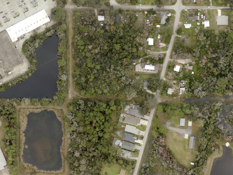 Satellite · reference point
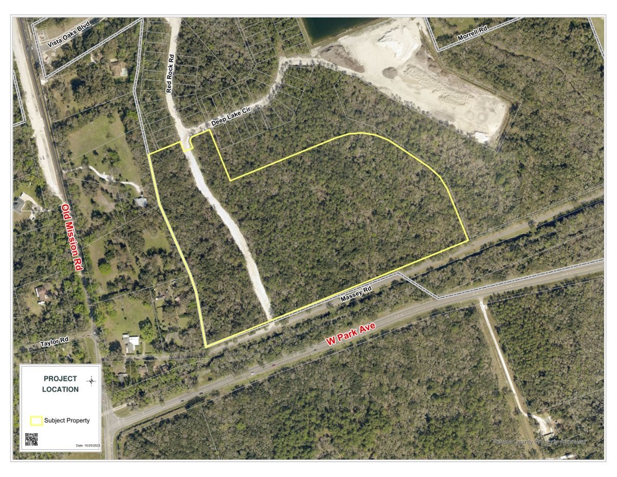 Satellite · city outline
Expand for details83 records · 16 vote records · map & project info
Timeline and votes
Decisions & project history
Newest firstBuilder source · Source review
Builder and community information checked
Record details & sources
D.R. Horton identifies Oak Leaf Preserve as its community. The builder uses a New Smyrna Beach mailing address; the city approval records remain grouped under Edgewater.
Official builder sourceEdgewater Development Services · Project update
Oak Leaf Preserve: city report update
Record details & sources
Homes are being built; several phases have recorded final lot maps.
St. Johns River Water Management District · O&M transfer
Stormwater maintenance permit transferred to homeowners association
Record details & sources
Permit 98225-7 transfers operation and maintenance of the 174.87-acre wet-detention system to Oak Leaf Preserve Master Homeowners Association, Inc. Its report lists the February 23 inspection of the completed work; the March 10 compliance letter documents erosion found at that inspection, and the September 25 acceptance letter reports a later June 25 inspection and compliance. The records therefore describe successive inspections. They do not certify all homes complete.
St. Johns River Water Management District · As-built acceptance
State accepts stormwater as-built system
Record details & sources
The District’s acceptance letter says it reviewed as-built drawings, inspected June 25 and found the system compliant, placing it in operation and maintenance. It explicitly says this does not itself transfer the permit to a new entity. This is not certification that all homes are occupied.
Edgewater city report · Recorded milestone
Another home receives an occupancy certificate
Record details & sources
The July–September city occupancy table lists one Oak Leaf Preserve home approved for occupancy on this date. This is an individual home, not whole-community completion.
Official city report · page 12Original public record
1 additional occupancy certificate listed
Record details & sources
The city’s July–September 2026 table lists 1848 RED ROCK RD. — 9/17/2026, permit 26-629, parcel 7353-01-00-0010. The table identifies the broader Oak Leaf Preserve neighborhood; a specific subdivision phase is not independently established for these rows. These individual certificates do not establish whole-project completion.
Edgewater city report · Recorded milestone
Two homes receive occupancy certificates
Record details & sources
The city occupancy table lists two Oak Leaf Preserve homes approved for occupancy on this date.
Official city report · page 12Edgewater city report · Recorded milestone
Home receives an occupancy certificate
Record details & sources
The city occupancy table lists one Oak Leaf Preserve home approved for occupancy on this date.
Official city report · page 12Original public record
3 additional occupancy certificates listed
Record details & sources
The city’s July–September 2026 table lists 1904 DEEP LAKE CIR. — 7/1/2026, permit 26-632, parcel 7344-15-00-1990; 1901 DEEP LAKE CIR. — 7/23/2026, permit 26-630, parcel 7344-15-00-1970; 1902 DEEP LAKE CIR. — 7/23/2026, permit 26-631, parcel 7344-15-00-1980. The table identifies the broader Oak Leaf Preserve neighborhood; a specific subdivision phase is not independently established for these rows. These individual certificates do not establish whole-project completion.
Edgewater city report · Quarterly occupancy summary
City quarterly table lists 10 home occupancy certificates
Record details & sources
The fiscal 2026 quarter 3 report lists 10 Oak Leaf Preserve single-family occupancy certificates during April–June 2026, on printed pages 12. This entry summarizes individual certificates for the quarter; its date is the reporting-period end, not a claim all certificates issued that day. These records do not establish total community occupancy.
Original public record
5 occupancy certificates listed for 2026-05
Record details & sources
The city’s April–June 2026 certificate list records 2101 RED ROCK RD. — 5/4/2026, permit 25-890; 2125 RED ROCK RD. — 5/5/2026, permit 24-2339; 2127 RED ROCK RD. — 5/14/2026, permit 24-2351; 2123 RED ROCK RD. — 5/15/2026, permit 24-2338; 1842 RED ROCK RD. — 5/20/2026, permit 24-2843. Parcel identifiers are incomplete in this table and have not been reconstructed. These are individual certificates, not proof that the entire development is complete.
Original public record
5 occupancy certificates listed for 2026-04
Record details & sources
The city’s April–June 2026 certificate list records 2133 RED ROCK RD. — 4/9/2026, permit 24-2354; 2135 RED ROCK RD. — 4/14/2026, permit 25-892; 2121 RED ROCK RD. — 4/24/2026, permit 25-891; 2131 RED ROCK RD. — 4/24/2026, permit 24-2353; 2128 RED ROCK RD. — 4/28/2026, permit 24-1995. Parcel identifiers are incomplete in this table and have not been reconstructed. These are individual certificates, not proof that the entire development is complete.
Edgewater city report · Quarterly occupancy summary
City quarterly table lists 20 home occupancy certificates
Record details & sources
The fiscal 2026 quarter 2 report lists 20 Oak Leaf Preserve single-family occupancy certificates during January–March 2026, on printed pages 10–13. This entry summarizes individual certificates for the quarter; its date is the reporting-period end, not a claim all certificates issued that day. These records do not establish total community occupancy.
St. Johns River Water Management District · Compliance assistance
District identifies pond-bank erosion
Record details & sources
Following its February 23 inspection of the completed work, the District reports significant bank erosion in Detention Ponds A1 and A2 and requests corrective steps under item 1546109. A later September 25 acceptance letter reports a June 25 inspection and finds the system compliant. The available letters do not establish an exact repair date.
Original public record
6 additional occupancy certificates listed for 2026-03
Record details & sources
The city certificate table lists 2124 RED ROCK RD. — 3/5/2026, permit 24-1984; 2122 RED ROCK RD. — 3/11/2026, permit 24-1983; 2134 RED ROCK RD. — 3/11/2026, permit 24-1998; 2136 RED ROCK RD. — 3/11/2026, permit 24-2000; 2138 RED ROCK RD. — 3/13/2026, permit 24-2002; 2293 LAKE PRESERVE CIR. — 3/24/2026, permit 25-889. These rows identify the broader Oak Leaf Preserve neighborhood; their subdivision phase is not independently established. These are individual occupancy records, not a verified business opening, sale or completion of the whole development. Incomplete parcel fields have not been reconstructed.
Original public record
8 additional occupancy certificates listed for 2026-02
Record details & sources
The city certificate table lists 2132 RED ROCK RD. — 2/2/2026, permit 24-1997; 2287 LAKE PRESERVE CIR. — 2/2/2026, permit 24-2812; 2288 LAKE PRESERVE CIR. — 2/12/2026, permit 24-2862; 2286 LAKE PRESERVE CIR. — 2/12/2026, permit 24-2861; 2289 LAKE PRESERVE CIR. — 2/17/2026, permit 24-2814; 2291 LAKE PRESERVE CIR. — 2/17/2026, permit 24-2815; 2130 RED ROCK RD. — 2/18/2026, permit 24-1996; 2126 RED ROCK RD. — 2/19/2026, permit 24-1986. These rows identify the broader Oak Leaf Preserve neighborhood; their subdivision phase is not independently established. These are individual occupancy records, not a verified business opening, sale or completion of the whole development. Incomplete parcel fields have not been reconstructed.
Original public record
6 additional occupancy certificates listed for 2026-01
Record details & sources
The city certificate table lists 2280 LAKE PRESERVE CIR. — 1/13/2026, permit 24-2856; 2129 RED ROCK RD. — 1/23/2026, permit 24-2352; 2284 LAKE PRESERVE CIR. — 1/23/2026, permit 24-2860; 2281 LAKE PRESERVE CIR. — 1/27/2026, permit 24-2808; 2285 LAKE PRESERVE CIR. — 1/27/2026, permit 24-2810; 2283 LAKE PRESERVE CIR. — 1/29/2026, permit 24-2809. These rows identify the broader Oak Leaf Preserve neighborhood; their subdivision phase is not independently established. These are individual occupancy records, not a verified business opening, sale or completion of the whole development. Incomplete parcel fields have not been reconstructed.
Edgewater city report · Quarterly occupancy summary
City quarterly table lists 10 home occupancy certificates
Record details & sources
The fiscal 2026 quarter 1 report lists 10 Oak Leaf Preserve single-family occupancy certificates during October–December 2025, on printed pages 11. This entry summarizes individual certificates for the quarter; its date is the reporting-period end, not a claim all certificates issued that day. These records do not establish total community occupancy.
Edgewater Special Magistrate · Final hearing minutes
Magistrate finds tree-permit violation
Record details & sources
Final minutes place case 25-122853, citation 0032, for the Oak Leaf Preserve Master homeowners association common property at 2009 Red Rock Road under old business. The magistrate finds the listed property in violation of section 21-55.02 and orders staff recommendations. The November 13 minutes had continued the case to this hearing. Payment or later satisfaction is not established by these minutes.
Original public record
1 additional occupancy certificates listed for 2025-12
Record details & sources
The city certificate table lists 2282 LAKE PRESERVE CIR. — 12/18/2025, permit 24-2858. These rows identify the broader Oak Leaf Preserve neighborhood; their subdivision phase is not independently established. These are individual occupancy records, not a verified business opening, sale or completion of the whole development. Incomplete parcel fields have not been reconstructed.
Volusia County · Recorded corrective deed
Corrective conservation easement recorded
Record details & sources
The corrective deed is recorded as Instrument 2025209850, Official Records Book 8777, starting at page 830. Executed October 22, it corrects the description at pages 306–307 of the original 2019 deed and expressly leaves its remaining legal descriptions in force. It preserves a perpetual conservation easement subject to its stated terms.
Original public record
7 additional occupancy certificates listed for 2025-11
Record details & sources
The city certificate table lists 2229 LAKE PRESERVE CIR. — 11/7/2025, permit 24-2444; 2274 LAKE PRESERVE CIR. — 11/19/2025, permit 24-2852; 2276 LAKE PRESERVE CIR. — 11/19/2025, permit 24-2853; 2278 LAKE PRESERVE CIR — 11/21/2025, permit 24-2855; 2140 RED ROCK RD — 11/24/2025, permit 24-2005; 2279 LAKE PRESERVE CIR — 11/24/2025, permit 24-2806; 2275 LAKE PRESERVE CIR — 11/25/2025, permit 24-2804. These rows identify the broader Oak Leaf Preserve neighborhood; their subdivision phase is not independently established. These are individual occupancy records, not a verified business opening, sale or completion of the whole development. Incomplete parcel fields have not been reconstructed.
Original public record
2 additional occupancy certificates listed for 2025-10
Record details & sources
The city certificate table lists 2272 LAKE PRESERVE CIR. — 10/16/2025, permit 24-2851; 2221 LAKE PRESERVE CIR. — 10/27/2025, permit 24-2432. These rows identify the broader Oak Leaf Preserve neighborhood; their subdivision phase is not independently established. These are individual occupancy records, not a verified business opening, sale or completion of the whole development. Incomplete parcel fields have not been reconstructed.
Edgewater city report · Quarterly occupancy summary
City quarterly table lists 10 home occupancy certificates
Record details & sources
The fiscal 2025 quarter 4 report lists 10 Oak Leaf Preserve single-family occupancy certificates during July–September 2025, on printed pages 12–13. The date marks the reporting-period end, not the date of each certificate. The quarter 1 report lists no Oak Leaf certificates. These records do not establish the total community occupancy.
Edgewater city report · Quarterly occupancy summary
City quarterly table lists 38 home occupancy certificates
Record details & sources
The fiscal 2025 quarter 3 report lists 38 Oak Leaf Preserve single-family occupancy certificates during April–June 2025, on printed pages 12–13. The date marks the reporting-period end, not the date of each certificate. The quarter 1 report lists no Oak Leaf certificates. These records do not establish the total community occupancy.
Original public record
13 occupancy certificates listed for 2025-06
Record details & sources
The city’s occupancy table lists 2249 LAKE PRESERVE CIR. — 6/3/2025, permit 24-2817, parcel 7453-02-00-3100; 2257 LAKE PRESERVE CIR — 6/4/2025, permit 24-2824, parcel 7453-02-00-3070; 2235 LAKE PRESERVE CIR. — 6/9/2025, permit 24-2436, parcel 7453-02-00-3170; 2239 LAKE PRESERVE CIR. — 6/10/2025, permit 24-2797, parcel 7453-02-00-3150; 2245 LAKE PRESERVE CIR. — 6/10/2025, permit 24-2811, parcel 7453-02-00-3120; 2217 LAKE PRESERVE CIR — 6/10/2025, permit 24-1639, parcel 7453-02-00-3260; 2238 LAKE PRESERVE CIR. — 6/13/2025, permit 24-2840, parcel 7453-02-00-3640; 2263 LAKE PRESERVE CIR. — 6/13/2025, permit 24-2863, parcel 7453-02-00-3040; 2250 LAKE PRESERVE CIR. — 6/13/2025, permit 24-2845, parcel 7453-02-00-3610; 2264 LAKE PRESERVE CIR — 6/16/2025, permit 24-2846, parcel 7453-02-00-3600; 2265 LAKE PRESERVE CIR — 6/24/2025, permit 24-2832, parcel 7453-02-00-3030; 2261 LAKE PRESERVE CIR — 6/25/2025, permit 24-2831, parcel 7453-02-00-3050; 2266 LAKE PRESERVE CIR — 6/27/2025, permit 24-2848, parcel 7453-02-00-3590. These individual certificates are historical evidence, not proof that every home or the whole development is complete. The report cover says fiscal 2025–2026, but these certificate rows explicitly say 2025.
Original public record
14 occupancy certificates listed for 2025-05
Record details & sources
The city’s occupancy table lists 2240 LAKE PRESERVE CIRCLE — 5/1/2025, permit 24-2841, parcel 7453-02-00-3630; 2220 LAKE PRESERVE CIRCLE — 5/1/2025, permit 24-2578, parcel 7453-02-00-3700; 2242 LAKE PRESERVE CIR — 5/5/2025, permit 24-2842, parcel 7453-02-00-3620; 2231 LAKE PRESERVE CIR — 5/5/2025, permit 24-2431, parcel 7453-02-00-3190; 2230 LAKE PRESERVE CIR — 5/6/2025, permit 24-2582, parcel 7453-02-00-3660; 2236 LAKE PRESERVE CIR — 5/6/2025, permit 24-2584, parcel 7453-02-00-3650; 2219 LAKE PRESERVE DR — 5/13/2025, permit 24-1643, parcel 7453-02-00-3250; 2233 LAKE PRESERVE CIR — 5/13/2025, permit 24-2434, parcel 7453-02-00-3180; 2243 LAKE PRESERVE CIR. — 5/16/2025, permit 24-2807, parcel 7453-02-00-3130; 2247 LAKE PRESERVE CIR. — 5/16/2025, permit 24-2813, parcel 7453-02-00-3110; 2241 LAKE PRESERVE CIR. — 5/16/2025, permit 24-2798, parcel 7453-02-00-3140; 2237 LAKE PRESERVE CIR. — 5/16/2025, permit 24-2438, parcel 7453-02-00-3160; 2251 LAKE PRESERVE CIR. — 5/28/2025, permit 24-2826, parcel 7453-02-00-3090; 2259 LAKE PRESERVE CIR. — 5/29/2025, permit 24-2830, parcel 7453-02-00-3060. These individual certificates are historical evidence, not proof that every home or the whole development is complete. The report cover says fiscal 2025–2026, but these certificate rows explicitly say 2025.
Original public record
11 occupancy certificates listed for 2025-04
Record details & sources
The city’s occupancy table lists 2107 RED ROCK RD. — 4/2/2025, permit 24-2362, parcel 7453-02-00-3360; 2216 LAKE PRESERVE CIR. — 4/8/2025, permit 24-2576, parcel 7453-02-00-3720; 2218 LAKE PRESERVE CIR. — 4/8/2025, permit 24-2577, parcel 7453-02-00-3710; 2226 LAKE PRESERVE CIR — 4/11/2025, permit 24-2581, parcel 7453-02-00-3670; 2227 LAKE PRESERVE CIR — 4/14/2025, permit 24-2443, parcel 7453-02-00-3210; 2214 LAKE PRESERVE CIR. — 4/14/2025, permit 24-2575, parcel 7453-02-00-3730; 2223 LAKE PRESERVE CIR. — 4/14/2025, permit 24-2435, parcel 7453-02-00-3230; 2224 LAKE PRESERVE CIR. — 4/14/2025, permit 24-2580, parcel 7453-02-00-3680; 2225 LAKE PRESERVE CIR. — 4/14/2025, permit 24-2440, parcel 7453-02-00-3220; 2212 LAKE PRESERVE CIR. — 4/16/2025, permit 24-2574, parcel 7453-02-00-3740; 2222 LAKE PRESERVE CIR. — 4/23/2025, permit 24-2579, parcel 7453-02-00-3690. These individual certificates are historical evidence, not proof that every home or the whole development is complete. The report cover says fiscal 2025–2026, but these certificate rows explicitly say 2025.
Edgewater city report · Quarterly occupancy summary
City quarterly table lists 23 home occupancy certificates
Record details & sources
The fiscal 2025 quarter 2 report lists 23 Oak Leaf Preserve single-family occupancy certificates during January–March 2025, on printed pages 13–15. The date marks the reporting-period end, not the date of each certificate. The quarter 1 report lists no Oak Leaf certificates. These records do not establish the total community occupancy.
Original public record
16 certificate rows documented for 2025-03
Record details & sources
The city’s January–March 2025 occupancy table lists 2109 RED ROCK RD. — 3/3/2025, permit 24-2335; 2106 RED ROCK RD — 3/7/2025, permit 24-1337; 2108 RED ROCK RD — 3/7/2025, permit 24-1321; 2201 LAKE PRESERVE CIR. — 3/12/2025, permit 24-1605; 2205 LAKE PRESERVE CIR — 3/14/2025, permit 24-1618; 2104 RED ROCK RD — 3/14/2025, permit 24-1354; 2112 RED ROCK RD — 3/14/2025, permit 24-1254; 2116 RED ROCK RD — 3/14/2025, permit 24-1245; 2105 RED ROCK RD — 3/17/2025, permit 24-2336; 2110 RED ROCK RD — 3/18/2025, permit 24-1255; 2210 LAKE PRESERVE CIR — 3/18/2025, permit 24-2676; 2203 LAKE PRESERVE CIR — 3/18/2025, permit 24-1617; 2114 RED ROCK RD — 3/21/2025, permit 24-1252; 2209 LAKE PRESERVE CIR. — 3/26/2025, permit 24-1624; 2211 LAKE PRESERVE CIR. — 3/26/2025, permit 24-1628; 2207 LAKE PRESERVE CIR — 3/27/2025, permit 24-1626. These are additional detailed source rows, not necessarily new homes beyond earlier reported minimums. These entries may overlap earlier counts and are not added to them. The source’s repeated January heading includes explicitly dated February and March rows.
Original public record
3 certificate rows documented for 2025-02
Record details & sources
The city’s January–March 2025 occupancy table lists 2028 RED ROCK RD. — 2/12/2025, permit 24-1352; 2103 RED ROCK RD — 2/12/2025, permit 24-2337; 2102 RED ROCK RD — 2/13/2025, permit 24-1361. These are additional detailed source rows, not necessarily new homes beyond earlier reported minimums. These entries may overlap earlier counts and are not added to them. The source’s repeated January heading includes explicitly dated February and March rows.
Original public record
4 certificate rows documented for 2025-01
Record details & sources
The city’s January–March 2025 occupancy table lists 2014 RED ROCK RD. — 1/8/2025, permit 24-1243; 2022 RED ROCK RD. — 1/10/2025, permit 24-1355; 2024 RED ROCK RD — 1/13/2025, permit 24-1353; 2026 RED ROCK RD. — 1/31/2025, permit 24-1338. These are additional detailed source rows, not necessarily new homes beyond earlier reported minimums. These entries may overlap earlier counts and are not added to them. The source’s repeated January heading includes explicitly dated February and March rows.
St. Johns River Water Management District · Conservation easement correction
District requires corrective conservation deed
Record details & sources
The District identifies an erroneous, previously unapproved legal description in the 2019 easement and requests a corrective deed, current-owner execution and title-gap documentation. Its January 23, 2025 email later accepts the corrected legal closure while still requiring deed review and recording.
Original public record
11 certificate rows documented for 2024-12
Record details & sources
The city’s scanned certificate table lists 2013 RED ROCK RD — 12/2/2024, permit 24-1246; 2023 RED ROCK RD — 12/2/2024, permit 24-1301; 2018 RED ROCK RD — 12/12/2024, permit 24-1335; 2002 RED ROCK RD. — 12/13/2024, permit 24-1047; 2006 RED ROCK RD. — 12/13/2024, permit 24-1051; 2010 RED ROCK RD. — 12/13/2024, permit 24-1241; 2008 RED ROCK RD. — 12/16/2024, permit 24-1050; 2016 RED ROCK RD. — 12/16/2024, permit 24-1312; 2020 RED ROCK RD. — 12/18/2024, permit 24-1336; 2012 RED ROCK RD. — 12/19/2024, permit 24-1242; 2004 RED ROCK RD. — 12/19/2024, permit 24-1048. Dates and permit references were checked against the page images. These detailed certificate records are not necessarily additional homes beyond earlier counts. These entries may overlap earlier counts and are not added to them. The neighborhood label does not independently establish a subdivision phase.
Original public record
3 certificate rows documented for 2024-11
Record details & sources
The city’s scanned certificate table lists 1610 DELPHI WAY — 11/4/2024, permit 21-951; 2015 RED ROCK RD. — 11/13/2024, permit 24-1253; 2011 RED ROCK RD — 11/27/2024, permit 24-1319. Dates and permit references were checked against the page images. These detailed certificate records are not necessarily additional homes beyond earlier counts. These entries may overlap earlier counts and are not added to them. The neighborhood label does not independently establish a subdivision phase.
Original public record
7 certificate rows documented for 2024-10
Record details & sources
The city’s scanned certificate table lists 1956 DEEP LAKE CIR. — 10/1/2024, permit 24-469; 2025 RED ROCK RD — 10/1/2024, permit 24-1300; 1958 DEEP LAKE CIR. — 10/2/2024, permit 24-474; 1960 DEEP LAKE CIR. — 10/2/2024, permit 24-395; 2021 RED ROCK RD — 10/4/2024, permit 24-1298; 2017 RED ROCK RD. — 10/23/2024, permit 24-1244; 1608 DELPHI WAY — 10/25/2024, permit 21-950. Dates and permit references were checked against the page images. These detailed certificate records are not necessarily additional homes beyond earlier counts. These entries may overlap earlier counts and are not added to them. The neighborhood label does not independently establish a subdivision phase.
St. Johns River Water Management District / Volusia County · Roadway permit
State authorizes Old Mission Road improvements after the fact
Record details & sources
Permit 98225-6 authorizes a 1.54-acre right-of-way project along Old Mission Road. The staff report expressly describes after-the-fact authorization of improvements associated with Oak Leaf Preserve and identifies Volusia County as the final O&M entity. This roadway authorization is separate from subdivision occupancy.
Edgewater City Council · Withdrawal
Two-lot access replat request withdrawn
Record details & sources
The Council action history records RP-2301 as withdrawn. The request proposed rearranging Phase 1 Lots 55 and 56 for secondary access to the neighboring Oakwood Cove subdivision and common-area changes. It is not reported as an approved new road or as withdrawal of Oak Leaf Preserve itself. A staff sentence about the board recommendation is internally contradictory and is not used to invent an outcome.
Edgewater Development Services · Occupancy report
11 homes cleared for occupancy
Record details & sources
Edgewater listed these addresses in its occupancy certificate report.
1905 DEEP LAKE CIR. · 3/4/2024 · permit 23-3178
1911 DEEP LAKE CIR. · 3/4/2024 · permit 23-3174
1903 DEEP LAKE CIR. · 3/5/2024 · permit 23-3179
1909 DEEP LAKE CIR. · 3/5/2024 · permit 23-3176
1535 DELPHI WAY · 3/6/2024 · permit 23-2012
1921 DEEP LAKE CIR. · 3/11/2024 · permit 23-3166
1539 DELPHI WAY · 3/11/2024 · permit 23-1800
1560 DELPHI WAY · 3/15/2024 · permit 23-1559
1913 DEEP LAKE CIR. · 3/19/2024 · permit 23-3173
1917 DEEP LAKE CIR. · 3/19/2024 · permit 23-3169
1919 DEEP LAKE CIR. · 3/19/2024 · permit 23-3167Volusia County recorded plat · Public state-file copy
Phase 4 plat recorded
Record details & sources
The county recording stamp on the Phase 4 plat identifies Map Book 65, starting at page 174. Recording is a separate milestone from the earlier city approval and does not certify that every home is complete.
Edgewater Development Services · Occupancy report
3 homes cleared for occupancy
Record details & sources
Edgewater listed these addresses in its occupancy certificate report.
1552 DELPHI WAY · 2/2/2024 · permit 23-2217
1533 DELPHI WAY · 2/6/2024 · permit 23-2011
1531 DELPHI WAY · 2/23/2024 · permit 23-2010Edgewater City Council · Decision
Phase 4 final lot map approved · FP-2303
Approved 5–0Who voted?
Diezel DePew YESCharlotte Gillis YESGigi Bennington YESDebbie Dolbow YESJonah Powers YESRecord details & sources
Edgewater Development Services · Occupancy report
13 homes cleared for occupancy
Record details & sources
Edgewater listed these addresses in its occupancy certificate report.
1554 DELPHI WAY · 1/4/2024 · permit 23-1554
1556 DELPHI WAY · 1/9/2024 · permit 23-1556
1558 DELPHI WAY · 1/9/2024 · permit 23-1557
1536 DELPHI WAY · 1/10/2024 · permit 23-1798
1538 DELPHI WAY · 1/10/2024 · permit 23-1693
1540 DELPHI WAY · 1/10/2024 · permit 23-1695
1541 DELPHI WAY · 1/17/2024 · permit 23-1690
1543 DELPHI WAY · 1/17/2024 · permit 23-1801
1835 RED ROCK RD. · 1/18/2024 · permit 23-390
1534 DELPHI WAY · 1/18/2024 · permit 23-1692
1537 DELPHI WAY · 1/31/2024 · permit 23-2322
1546 DELPHI WAY · 1/31/2024 · permit 23-2266
1545 DELPHI WAY · 1/31/2024 · permit 23-1689Edgewater Planning and Zoning Board · Recommendation
Oakleaf Preserve Phase Four: recommend final map of lots, roads and shared areas approval for 106 lots
Legistar action history records recommend for approval, Pass; no individual roll call verified.Record details & sources
Edgewater staff report · Application milestone
Phase 4 final-plat application submitted
Record details & sources
The city staff report records the initial September 21 application and October 27 resubmission for Phase 4: 106 lots on approximately 27.1522 acres. The proposed phase is part of the existing 375-lot development.
Volusia County recorded plat · Public state-file copy
Phase 3A plat recorded
Record details & sources
The county recording stamp on the Phase 3A plat identifies Map Book 65, starting at page 74. Recording is a separate milestone from the earlier city approval and does not certify that every home is complete.
Edgewater City Council · Final map of lots, roads and shared areas
Council approves Phase 3A final map of lots, roads and shared areas, 5–0
Who voted? · recorded votes
Diezel DePew YESCharlotte Gillis YESGigi Bennington YESDebbie Dolbow YESJonah Powers YESRecord details & sources
Council approves FP-2302 for the 73-lot Phase 3A plan along Red Rock Road and Deep Lake Circle, following the July board recommendation. Staff identify performance bonds for incomplete public facilities and later maintenance bonds as separate requirements. All five Council votes are recorded YES.
Edgewater Planning and Zoning Board · Recommendation
Oak Leaf Phase 3A: approve final map of lots, roads and shared areas as written
Motion approved 5–0.Who voted?
Robert Andrejkovics YESGeorge Kennedy YESEric Rainbird YESPaul Wright YESChris Hatcher YESRecord details & sources
Edgewater City Council · Easement vacation
Council approves limited drainage-easement vacation
Who voted? · recorded votes
Diezel DePew EXCUSEDCharlotte Gillis YESGigi Bennington YESDebbie Dolbow YESJonah Powers YESRecord details & sources
Council approves Resolution 2023-R-13 concerning 1.1 feet of the side-yard drainage easement on Phase 2 Lot 93. The staff report describes a survey error and a requested reduction from 7.5 to 6.4 feet to allow a certificate of occupancy; this action is not itself proof that a certificate of occupancy issued. Gillis, Bennington, Dolbow and Powers vote yes; DePew is excused.
St. Johns River Water Management District · Roadway compliance assistance
District flags Old Mission Road fill concerns
Record details & sources
A compliance-assistance letter addressed to the Utilities Commission of New Smyrna Beach reports a May 19 inspection of fill along Old Mission Road for power-pole relocation and potential wetland impacts, item 1478069. This roadway case is separate from subdivision-wide occupancy; the later after-the-fact permit is dated April 30, 2024.
Edgewater Planning and Zoning Board · Recommendation
Oak Leaf Preserve Phase 2: approve drainage-easement abandonment
Motion approved 6–0.Who voted?
Albert Amalfitano YESRobert Andrejkovics YESThomas Duane YESGeorge Kennedy YESEric Rainbird YESPaul Wright YESRecord details & sources
Volusia County recorded plat · Public state-file copy
Phase 3B plat recorded
Record details & sources
The county recording stamp on the Phase 3B plat identifies Map Book 64, starting at page 146. Recording is a separate milestone from the earlier city approval and does not certify that every home is complete.
Edgewater City Council · Final map of lots, roads and shared areas
Council approves Phase 3B final map of lots, roads and shared areas, 3–1
Who voted? · recorded votes
Diezel DePew NOCharlotte Gillis EXCUSEDGigi Bennington YESDebbie Dolbow YESJonah Powers YESRecord details & sources
Council approves FP-2205 for 44 Phase 3B lots. Bennington, Dolbow and Powers vote yes; DePew votes no; Gillis is excused. These lots are within the 375-lot project, not an additional total.
Edgewater Planning and Zoning Board · Recommendation
Oak Leaf Preserve Phase 3B: recommend final map of lots, roads and shared areas approval
Motion approved 7–0.Who voted?
Albert Amalfitano YESRobert Andrejkovics YESThomas Duane YESGeorge Kennedy YESEric Rainbird YESPaul Wright YESChris Hatcher YESRecord details & sources
Edgewater Development Services · Historical report
Phase 3B final lot map under review
Record details & sources
The December report lists Phases 1 and 2 final maps approved and recorded, with Phase 3B’s final map still under review.
Volusia County recorded plat · Public state-file copy
Phase 2 plat recorded
Record details & sources
The county recording stamp on the Phase 2 plat identifies Map Book 63, starting at page 135. Recording is a separate milestone from the earlier city approval and does not certify that every home is complete.
St. Johns River Water Management District · Closure letter
District closes earlier drainage compliance matter
Record details & sources
After reviewing the file, information and a site inspection, the District finds the system compliant at that time and closes item 1431468. The letter allows future evaluations; this is not a permanent guarantee of compliance.
St. Johns River Water Management District · Compliance assistance
District flags potential drainage and wetland noncompliance
Record details & sources
The compliance-assistance letter identifies potential stormwater discharge onto abutting property and adverse impacts on abutting wetlands under permit 98225-5, item 1431468. These are the District’s stated concerns at that time; its March 2022 letter subsequently closes this matter.
Edgewater City Council · Final map of lots, roads and shared areas
Council approves Phase 2 final map of lots, roads and shared areas, 4–1
Who voted? · recorded votes
Mike Thomas NOChristine Power YESGigi Bennington YESMegan O'Keefe YESJonah Powers YESRecord details & sources
Council approves FP-2101 for 75 Phase 2 lots on approximately 21.74 acres. Power, Bennington, O’Keefe and Powers vote yes; Thomas votes no. The staff report’s statement that Phase 1 was approved in May 2020 describes the board-stage date; the separate Council action was June 1.
Edgewater Planning and Zoning Board · Recommendation
Oak Leaf Preserve Phase 2: recommend final map of lots, roads and shared areas approval
Motion approved 5–0.Who voted?
Albert Amalfitano YESRobert Andrejkovics YESThomas Duane YESGeorge Kennedy YESEric Rainbird YESRecord details & sources
Edgewater Development Services · Historical report
Phase 2 development order issued
Record details & sources
The city reports a development order for Phase 2. This does not establish completion of every home in the overall preserve.
Edgewater staff report · Retrospective construction milestone
Phase 2 preconstruction meeting held
Record details & sources
The city’s Phase 2 staff report records an April 8 preconstruction meeting and says required infrastructure construction subsequently commenced. This is not a subdivision-wide completion or occupancy certificate.
Volusia County recorded plat · Public state-file copy
Phase 1 plat recorded
Record details & sources
The county recording stamp on the Phase 1 plat identifies Map Book 61, starting at page 189. Recording is a separate milestone from the earlier city approval and does not certify that every home is complete.
Edgewater City Council · Final map of lots, roads and shared areas
Council approves Phase 1 final map of lots, roads and shared areas, 3–2
Who voted? · recorded votes
Mike Thomas NOChristine Power YESKimberly Yaney YESMegan O'Keefe YESGary T. Conroy NORecord details & sources
Council approves FP-2001 for 77 lots. Christine Power, Kimberly Yaney and Megan O’Keefe vote yes; Mike Thomas and Gary T. Conroy vote no. Approval does not itself establish the county recording date.
Edgewater Planning and Zoning Board · Final map of lots, roads and shared areas
Planning board approves Phase 1 final map of lots, roads and shared areas
Who voted? · recorded votes
George Kennedy YESRobert Andrejkovics YESPaul Wright YESThomas Duane YESBurton Maroney YESAlbert Amalfitano YESEric Rainbird YESRecord details & sources
The Planning and Zoning Board approves FP-2001 for the 77-lot first phase. Its seven recorded YES votes are distinct from the later split Council approval.
City planning records · Historical report
Earlier report records construction underway
Record details & sources
The December 2019 inventory lists the 375-home Oak Leaf Preserve project under construction. This does not confirm occupancy of any individual home.
Recorded easement · Later agency and deed references
Original conservation easement recorded
Record details & sources
The later District letter and recorded corrective deed identify the original easement in Official Records Book 7759, page 287. One legal description later required correction; the original recording does not establish that every description had District approval.
Edgewater staff report · Retrospective construction milestone
First-phase preconstruction meeting held
Record details & sources
The city’s later Phase 1 staff report records an April 25 preconstruction meeting and says required infrastructure construction subsequently commenced. It does not supply an exact first construction day or prove individual homes complete.
St. Johns River Water Management District · Layout modification
Revised state permit issued for 375-lot layout
Record details & sources
The 98225-5 permit letter says the permit was issued December 17, then corrected and reissued December 19. The staff report authorizes a 174.87-acre stormwater system serving the revised 375-lot subdivision. City and state acreage/plan versions remain separately attributed.
Edgewater City Council · Decision
Early lot layout approved · SD-1801
Reported approved 5–0Record details & sources
The source repeats a voter not listed in its opening attendance; individual stamps are withheld for this historical entry.
Edgewater Planning and Zoning Board · Proposed map of lots, roads and shared areas
Planning board approves revised preliminary layout
Who voted? · recorded votes
George Kennedy EXCUSEDRobert Andrejkovics YESMichael Eichhorn YESChris Hatcher YESRobert McIntosh YESThomas Duane EXCUSEDPaul Wright YESRecord details & sources
The board approves SD-1801 before Council’s December 3 action. Its record lists five YES and two Excused votes. This is the board-stage action for the revised preliminary subdivision plan.
Division of Historical Resources · Review reconciliation
Florida Division of Historical Resources reconciles earlier survey recommendation
Record details & sources
The agency’s letter acknowledges its November 2017 due-diligence survey recommendation, then reaffirms the 2015 determination that the project is unlikely to affect historic properties after the District supplies the earlier review. Inadvertent-discovery protections remain. This later letter resolves the earlier recommendation for the reviewed proposal.
Recorded planned unit development · City attachment
Restated planned unit development agreement recorded
Record details & sources
The recorded restatement bears Instrument 2018114344, Official Records Book 7555, starting at page 344. It references the earlier agreement as dated March 5, 2005, Book 5518, page 1776; the later city staff history separately gives March 7 as the original approval date. Agreement and approval dates are kept distinct.
Edgewater City Council · planned unit development restatement
Council approves revised development rules allowing 375 lots
Who voted? · recorded votes
Mike Ignasiak YESAmy Vogt YESDan Blazi YESGary T. Conroy YESRecord details & sources
Council approved revised residential development agreement ZA-1802. City staff describe a reduction from 450 allowed lots to 375 and smaller minimum lots: 50 by 120 feet instead of 75 by 120 feet. The plan also addresses future piping for reused water and a second emergency entrance. The action record lists four yes votes; a fifth vote is not identified.
Edgewater Planning and Zoning Board · Recommendation
Planning board supports revised development rules
Who voted? · recorded votes
George Kennedy YESRobert Andrejkovics YESMichael Eichhorn YESChris Hatcher YESRobert McIntosh YESThomas Duane YESPaul Wright YESRecord details & sources
The board recommended approval of agreement ZA-1802. The proposed rules reduce the allowed lots from 450 to 375 and change lot sizes, future piping for reused water, emergency access and gates. This recommendation is separate from the Council’s final decision.
St. Johns River Water Management District · Permit modification
Mitigation plan changed; permit extended
Record details & sources
Permit 98225-4 extends the construction authorization by five years and changes the mitigation plan to provide mitigation on site. This remains a modification of the earlier project, not an additional residential phase.
Division of Historical Resources · Review
Historic review finds effects unlikely
Record details & sources
Florida Division of Historical Resources’s October 5 list letter includes Oak Leaf Preserve review 2015-4700 and concludes historic properties are unlikely to be affected, with inadvertent-discovery conditions. The 2018 agency review expressly reaffirms this determination.
St. Johns River Water Management District · Permit extension
State grants two-year construction extension
Record details & sources
Letter modification 98225-3 extends the existing construction permit for two years, to June 12, 2016. It does not add new lots or establish that homes were built.
St. Johns River Water Management District · Ownership transfer
State permit transferred to DB Aster
Record details & sources
Permit 98225-2 transfers the earlier construction authorization from Oak Leaf Preserve, Inc. to DB Aster, LLC. The staff report says construction had not begun. The report also corrects an old plan-received date typo from December 19, 2007 to December 19, 2006.
St. Johns River Water Management District · Construction permit
Original state construction permit issued
Record details & sources
St. Johns River Water Management District permit 4-127-98225-1 authorizes the surface-water system for a 173.47-acre, 367-lot single-family plan. The permit letter identifies Governing Board authorization on June 12. This state-permitted version is historical and is not added to the later 375-lot city plan.
City staff report · Retrospective history
Earlier proposed map of lots, roads and shared areas approved
Record details & sources
The 2018 city staff report identifies December 19, 2005 as approval of the earlier proposed map of lots, roads and shared areas. This is distinct from the revised proposed map of lots, roads and shared areas approved in December 2018; no original roll call is inferred.
Division of Historical Resources · Review
Historic review addresses unexpected discoveries
Record details & sources
Florida Division of Historical Resources review 2005-4345 recommends an inadvertent-discovery condition. Although no significant resources were recorded in its database review, the agency notes some archaeological potential and calls for work to stop near discoveries pending authorization. This is not a guarantee that no resources exist.
City staff report · Retrospective history
Original development agreement allowed 450 lots
Record details & sources
A 2018 city staff report says the original development agreement was approved March 7, 2005, and allowed 450 lots. The 2018 revision reduced that limit to 375. This date comes from the later report; the original 2005 decision has not yet been reviewed.
Photos and map
Photos & map

Project facts and sources
Project information & sources
- Approvals & permits
Homes under construction; individual occupancy certificates also issued.
- Size & completion
Planned / reported: 375 reported homes
Cleared to live in: At least 126 homes listed in city certificate tables
Homes sold: Not confirmed.
The existing timeline documents 126 distinct addresses and 126 distinct permit numbers in city occupancy-certificate tables, from October 2024 through September 17, 2026. Quarterly summary totals and duplicate narrative milestones are not added again. These records identify the wider Oak Leaf Preserve neighborhood; individual phase assignments and a complete 375-home occupancy inventory remain unconfirmed.
Full completion unconfirmed.
- Things to know
375 reported homes. Homes are being built; several phases have recorded final lot maps.
The phase plans reconcile to 375 lots: Phase 1 has 77, Phase 2 has 75, Phase 3A has 73, Phase 3B has 44 and Phase 4 has 106. These are subdivision lot counts; they do not certify that every home is finished or occupied.
- Sources
Sources checked: Oct 25, 2026
Earlier city-report history checked November 5, 2026. Report snapshots retain their stated dates and earlier phase counts; they do not establish current permits, occupancy or complete project history.
Original city applications and submission histories checked November 5, 2026. Case statuses and review dates are distinct from building permits and completed construction.
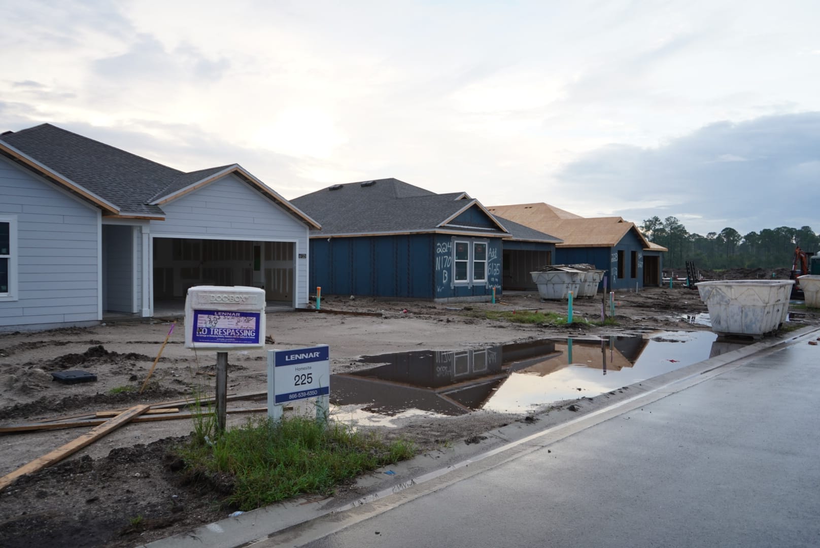 Photo
 Satellite · reference point
Expand for details50 records · 12 vote records · 1 photo · map & project info
Timeline and votes
Decisions & project history
Newest firstFlorida Department of Environmental Protection · Program review
Florida Department of Environmental Protection records project outside the State 404 program
Record details & sources
Florida Department of Environmental Protection’s coordination email states that the activities were outside the State 404 permit program, cites notice 404_0427820-001-NPR-01, and says Florida Department of Environmental Protection would not process this application. This determination is separate from St. Johns River Water Management District’s environmental-resource permit.
City planning records · Historical report
Phase 2 early lot layout under review
Record details & sources
The March report lists Phase 2’s preliminary lot map under review, while Phase 1’s final map was approved and recorded. These are separate phases.
Project history · Public record
Planning board recommends bringing the earlier property into Edgewater
Record details & sources
The recorded annexation ordinance reports a 7–0 Planning and Zoning recommendation for the approximately 449-acre Edgewater Lakes property. Its legal description includes the government lots later used for Phase 2. Individual board ballots are not supplied in this ordinance.
Edgewater City Council · Annexation
Proposal to bring the land into Edgewater clears its first review
Individual votes
Donald A. Schmidt YESJames P. Brown YESDennis A. Vincenzi YESHarriet E. Rhodes YESJudy Lichter ABSENTRecord details & sources
Council advanced the annexation 4–0, with Judy Lichter absent. This broader annexation brought the land toward City jurisdiction; it did not approve the later Parks Phase 2 subdivision.
Edgewater City Council · Annexation
Earlier project property becomes part of Edgewater
Individual votes
Donald A. Schmidt YESJames P. Brown YESDennis A. Vincenzi YESHarriet E. Rhodes YESJudy Lichter YESRecord details & sources
Council adopted the annexation 5–0. The ordinance was recorded April 6, 2001 as instrument 2001065189, Book 4666, page 2384. This is the predecessor land history, separate from the later 132-home Phase 2 plat.
Project history · Public record
Earlier development agreement recorded
Record details & sources
The Clerk’s index records the Edgewater Lakes development agreement as instrument 2001201619, Book 4746, page 961. The later Phase 2 plat expressly lists this document among the property’s recorded restrictions; this entry records the filing, not a newly inferred vote.
Project history · Public record
Earlier Phase II building rights removed from the plan
Record details & sources
The City’s 2018 staff report states that an amendment to the Edgewater Lakes planned unit development omitted development rights for the old Phase II property. That historical Phase II was the predecessor site, not the current 132-home Phase 2 subdivision. The City said a new agreement was required for the 2018 proposal.
Project history · Public record
Earlier Edgewater Lakes agreement restated
Record details & sources
The third amended and restated agreement was executed October 18 and recorded October 26, 2010 as instrument 2010194896, Book 6529, page 2973. It restates the older Phase I framework, cites a December 5, 2007 vested-rights letter and a March 3, 2008 Council determination, and describes the old Phase II as requiring later consideration. These predecessor references do not approve the current Phase 2 plat or add homes to its tally.
Circuit court · Public record
City states written reasons for the first denial
Record details & sources
The later court order records a February 20 mayoral letter attributing neighboring flooding to the development and citing 2024 storm events. These were the City’s stated reasons; the court subsequently found the plat denials unsupported by competent substantial evidence in the hearing record.
Circuit court · Public record
Lennar requests reconsideration
Record details & sources
The court order records Lennar’s March 21 request that Council reconsider the January denial. The request led to the separate April 21 rehearing already shown in this timeline.
Circuit court · Public record
Second court petition challenges the rehearing denial
Record details & sources
The dispositive order identifies a second certiorari petition filed in case 2025-11759-CIDL after Council’s April denial. Both petitions were later considered together.
Circuit court · Public record
Docket records consolidation of the two challenges
Record details & sources
The Clerk docket records filing of a certified consolidation order bringing case 2025-11759-CIDL into 2025-10899-CIDL. This is the docket filing date; it is not a ruling on the plat’s merits.
Circuit court · Public record
Lennar files appellate-cost request
Record details & sources
The docket lists a motion for costs described as appellate fees. A filing is a request, not an award; the November settlement later waived Lennar’s claim for fees and costs.
Circuit court · Public record
Lennar files attorney-fee motion
Record details & sources
The docket lists Lennar’s attorney-fee motion. No fee award is inferred from the motion; the City’s later settlement records the waiver of fees and costs.
Circuit court · Public record
Court quashes both City plat denials
Record details & sources
Circuit Judge Randell H. Rowe III granted both certiorari petitions, quashed the Council decisions and remanded the matter with directions to submit the final map of lots, roads and shared areas for approval by the Development Services Director under Resolution 2025-R-25. The order found that the denials departed from legal requirements and lacked competent substantial evidence in the hearing record.
Project history · Public record
Development Services Director approves the final map of lots, roads and shared areas
Record details & sources
The approval certificate on the recorded Phase 2 plat identifies December 8, 2025 as the Director’s approval date. This implements a later step after the court ruling and November settlement.
Project history · Public record
County records the Phase 2 final map of lots, roads and shared areas
Record details & sources
The Clerk’s stamp and certificate record instrument 2025229295 on December 9, 2025. The plat index identifies Edgewater Preserve Phase 2 in Map Book 67, pages 109–126. County recording is separate from City approval.
Edgewater Planning and Zoning Board · Recommendation
Board recommends the new overall development agreement
Individual votes
George Kennedy YESRobert Andrejkovics YESChris Hatcher YESThomas Duane YESPaul Wright YESMichael Eichhorn NORobert McIntosh EXCUSEDRecord details & sources
The original minutes record a 5–1 favorable recommendation on RZ-1809 for 292.5 acres east and west of Volco Road. Residents raised flooding and wildlife concerns; the applicant described later engineering, agency review and tortoise permitting. The minutes establish October 10, despite a September 12 date in the ordinance’s recital.
Edgewater City Council · Decision
Overall housing plan advances at first review of the proposed law
Edgewater City Council · Individual votes
Mike Thomas NOChristine Power YESMegan O'Keefe YESGary T. Conroy YESDistrict 2 was vacant.
Record details & sources
Council advanced Ordinance 2018-O-26 by 3–1. This was the broader entitlement framework, not approval to build Phase 2.
Edgewater City Council · Decision
Overall housing plan adopted
Edgewater City Council · Individual votes
Mike Thomas YESChristine Power YESMegan O'Keefe YESGary T. Conroy YESDistrict 2 was vacant.
Record details & sources
Council adopted Ordinance 2018-O-26 by 4–0. The agreement allowed up to 774 homes across eight phases and required separate preliminary-plat and construction-plan approvals for each phase. The wider maximum is not added to this card’s 132-home tally.
Project history · Public record
State pre-application review recorded
Record details & sources
St. Johns River Water Management District’s permit-family index records pre-application 157464-3, preceding the Phase 2A clearing-and-grading application. Its status is never issued; this was consultation, not construction approval.
Project history · Public record
Phase 2A clearing-and-grading application received
Record details & sources
St. Johns River Water Management District received application 157464-4 for Phase 2A. The later April 2024 decision was a separate event.
Project history · Public record
State permits Phase 2A clearing and grading
Record details & sources
Permit 157464-4 authorizes clearing and grading for 49 acres using plans received March 11, 2024. The staff report describes 1.058 acres of direct wetland impacts and preservation of 21.822 acres under conservation easement. This authorization preceded the separate full-buildout permit.
Project history · Public record
County records notice of the state permit
Record details & sources
A notice of Environmental Resource Permit 157464-4 was recorded as instrument 2024126959, Official Records Book 8576, page 1670. It notifies future owners of permit restrictions and transfer obligations; recording the notice is not a new County development approval.
Project history · Public record
Board recommends Phase 2 final map of lots, roads and shared areas
Record details & sources
The City’s FP-2400 staff report records a favorable recommendation with seven members supporting, none opposed and none absent. The indexed meeting lists this application but provides no minutes portable document format or named roll-call action; individual votes remain unconfirmed.
Project history · Public record
Corrective conservation easement recorded
Record details & sources
Instrument 2024234974 records a corrective conservation easement for permits 157464-4 and 157464-5. It corrects the legal description in the earlier instrument 2024155368 and preserves the easement area in perpetuity. This is a recorded environmental restriction, separate from the subdivision plat.
Project history · Public record
Phase 2 home occupancy certificates issued
Record details & sources
The City’s September 2026 report lists occupancy certificates at 6104 and 6106 Swamp Bay Drive, under permits 26-1019 and 26-1020. These individual certificates do not establish that all 132 Phase 2 homes were complete.
Project history · Public record
Phase 2 home occupancy certificates issued
Record details & sources
The City’s September 2026 report lists occupancy certificates at 6103 Swamp Bay Drive, under permits 26-1021. These individual certificates do not establish that all 132 Phase 2 homes were complete.
Project history · Public record
Phase 2 home occupancy certificates issued
Record details & sources
The City’s September 2026 report lists occupancy certificates at 6101 Swamp Bay Drive, under permits 26-866. These individual certificates do not establish that all 132 Phase 2 homes were complete.
Project history · Public record
Phase 2 home occupancy certificates issued
Record details & sources
The City’s September 2026 report lists occupancy certificates at 6105, 6107 and 6109 Swamp Bay Drive, under permits 26-867, 26-868 and 26-1022. These individual certificates do not establish that all 132 Phase 2 homes were complete.
Project history · Public record
Phase 2 home occupancy certificates issued
Record details & sources
The City’s September 2026 report lists occupancy certificates at 6111 Swamp Bay Drive, under permits 26-869. These individual certificates do not establish that all 132 Phase 2 homes were complete.
Project history · Public record
Phase 2 home occupancy certificates issued
Record details & sources
The City’s September 2026 report lists occupancy certificates at 6113 Swamp Bay Drive, under permits 26-870. These individual certificates do not establish that all 132 Phase 2 homes were complete.
Project history · Public record
Phase 2 home occupancy certificates issued
Record details & sources
The City’s September 2026 report lists occupancy certificates at 6115 Swamp Bay Drive, under permits 26-1070. These individual certificates do not establish that all 132 Phase 2 homes were complete.
St. Johns River Water Management District · Permit record
Full-buildout stormwater application received
Record details & sources
St. Johns River Water Management District received application 157464-5 for Phase 2B, modifying the earlier clearing-and-grading permit. Receipt preceded the separate December decision.
St. Johns River Water Management District · Permit record
State issues Phase 2 full-buildout stormwater permit
Record details & sources
Permit 157464-5 authorizes construction and operation of the stormwater system for the 48.6-acre Phase 2 full buildout. The staff report identifies 2.354 acres of direct wetland impacts and onsite preservation to offset direct and secondary impacts. The permit requires erosion controls, completion certification and ongoing maintenance; it is separate from City plat approval.
St. Johns River Water Management District · Permit record
State flags retention-pond recovery concerns
Record details & sources
After September 25–26 inspections during as-built review, St. Johns River Water Management District reported potential noncompliance because dry retention ponds I, H and L did not appear to be recovering. The agency requested corrective steps and a schedule by October 20. The later February 2026 compliance determination is recorded separately.
St. Johns River Water Management District · Permit record
State follows up on pond compliance
Record details & sources
St. Johns River Water Management District again identified ponds I, H and L as not appearing to recover and requested a response. The letter is dated January 16, 2026 but prints a January 27, 2025 response deadline; that apparent source error is preserved here. A subsequent letter found the permitted system compliant.
St. Johns River Water Management District · Permit record
State accepts as-built system; operation phase begins
Record details & sources
St. Johns River Water Management District reviewed the survey showing what was built and inspection record and determined the system under permits 157464-4 and 157464-5 complied with the permit. It moved the project to operation and maintenance. The original permittee remained responsible because the permit had not transferred to a new maintenance entity. This stormwater determination does not establish that every home was completed.
Planning and Zoning Board · Recommendation
Board recommends Phase 2 preliminary lot layout
Recommendation passed 5–0Who voted?
Albert Amalfitano YESRobert Andrejkovics YESThomas Duane YESGeorge Kennedy EXCUSEDEric Rainbird YESPaul Wright EXCUSEDChris Hatcher YESRecord details & sources
City Council · Decision
Council acts on Phase 2 preliminary lot layout
Approval passed 4–0Who voted?
Diezel DePew YESCharlotte Gillis YESGigi Bennington EXCUSEDDebbie Dolbow YESJonah Powers YESRecord details & sources
Phase 2 · Public record
132-home final lot map application submitted
Record details & sources
The City’s FP-2400 staff report records the application date and describes 132 homes on about 84.10 acres west of Volco Road. Staff and the contracted surveyor found the final map of lots, roads and shared areas met the proposed map of lots, roads and shared areas, land-development rules and residential development agreement.
City Council · Decision
Council acts on Phase 2 final lot map
Postponement passed 4–1Who voted?
Diezel DePew YESCharlotte Gillis YESDebbie Dolbow YESMike Thomas NORob Wilkie YESRecord details & sources
City Council · Decision
Council acts on Phase 2 final lot map
Approval motion failed for lack of a secondRecord details & sources
City Council · Decision
Council denies the Phase 2 final lot map
Denial passed 3–1Who voted?
Diezel DePew YESCharlotte Gillis YESMike Thomas YESDebbie Dolbow NORecord details & sources
Phase 2 · Public record
Lennar files court challenge to the final-plat denial
Record details & sources
The petition’s filing stamp records March 24, 2025. Lennar asked the circuit court to review the January 27 denial; the petition presents Lennar’s legal arguments, rather than a court finding.
City Council · Decision
Council acts on Phase 2 final lot map
Approval motion failed 1–4Who voted?
Diezel DePew NOCharlotte Gillis NOMike Thomas NODebbie Dolbow YESEric Rainbird NORecord details & sources
City Council · Decision
Council acts on Phase 2 final lot map
Denial passed 4–1Who voted?
Diezel DePew YESCharlotte Gillis YESMike Thomas YESDebbie Dolbow NOEric Rainbird YESRecord details & sources
City Council - Special Meeting · Decision
Phase 2 lawsuit settlement approved
Passed 5–0Who voted?
Diezel DePew YESCharlotte Gillis YESMike Thomas YESDebbie Dolbow YESEric Rainbird YESRecord details & sources
The city agreed to issue the final lot map and not appeal. Lennar agreed to give up its claim for attorney fees and costs. The City Attorney reported that the circuit court had granted Lennar’s petition. The City Manager said Lennar had already removed 68 lots and added compensating stormwater storage before the denial; afterward, Lennar withdrew the wider project’s Phase 5 for additional storage. That Phase 5 change is broader-plan context, not additional Phase 2 homes.
Edgewater Development Services · Project update
Edgewater Preserve: city report update
Record details & sources
The report covers the wider 774-home plan, including several phases. The existing housing tally currently counts Phase 2 only. The wider plan and other phases are shown separately to avoid counting homes twice. The report still labels the Phase 2 final map of lots, roads and shared areas under review despite the earlier settlement and its own occupancy-certificate listings; that status has not been reconciled into a new approval date.
Edgewater Development Services · Project update
Parks at Edgewater Phase 3: city report update
Record details & sources
146 reported homes. The Phase 3 lot layout was being reviewed. Phase counts are within the parent plan and are not added again to its housing total. The existing housing tally currently counts Phase 2 only. The wider plan and other phases are shown separately to avoid counting homes twice.
Photos and map
Photos & map

Project facts and sources
Project information & sources
- Approvals & permits
Occupancy certificates issued; construction seen Oct 22, 2026.
- Size & completion
Planned / reported: 132 homes
Cleared to live in: At least 10 homes
Homes sold: Not confirmed.
Phase 2 only: the final-plat report lists 132 homes, reduced from the earlier 200-lot proposal. Ten distinct Swamp Bay Drive homes listed in city occupancy tables; seven dated timeline entries. Partial coverage, not a full Phase 2 audit. Records through 2026-09-22.
Full completion unconfirmed.
- Things to know
The circuit court quashed the city’s two plat denials on November 6, 2025. Following settlement, the Development Services Director approved the Phase 2 final plat December 8 and the county recorded it December 9 in Map Book 67, pages 109–126. The later September 2026 city table still describes plat review; that table does not erase the recorded approval. Court order ↗ · Recorded Phase 2 plat ↗
On February 26, 2026, the water district accepted the built stormwater system under permits 157464-4 and 157464-5 for operation and maintenance. The original permittee remained responsible because responsibility had not transferred. That drainage acceptance is separate from completion of all 132 homes. District acceptance ↗
- Sources
Sources checked: Through Sep 30, 2026
See the source links in the project history.
Earlier city-report history checked November 5, 2026. Report snapshots retain their stated dates and earlier phase counts; they do not establish current permits, occupancy or complete project history.
Record review · Oct 24, 2026
Reviewed the overall-plan history, Phase 2 City decisions, state permits and compliance letters, county-recorded environmental documents and individual occupancy certificates. The November 6, 2025 court order and December 9, 2025 plat recording have been checked directly. Individual planning-board ballots for the 2001 annexation recommendation and September 2024 final-plat recommendation remain unverified. Ten listed occupancy certificates do not establish completion of every planned home.
News coverage · 1 link
- Edgewater leaders won’t fight ruling on new subdivision
Spectrum News 13 · 2025-11-24 · Reporting
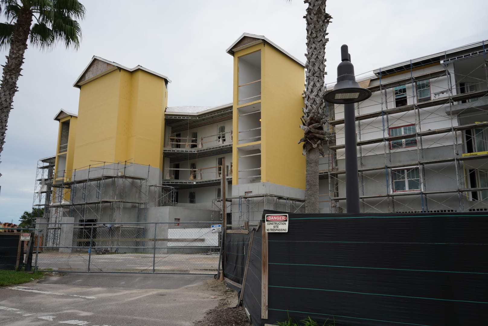 Photo
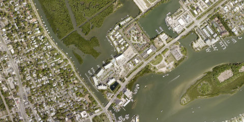 Satellite · reference point
Expand for details11 records · map & project info
Timeline and votes
Decisions & project history
Newest firstNew Smyrna Beach city map · Dated source check
City map checked; published case information recorded
Record details & sources
Case SP-03-18: Residential Condo 112 units. City map status: Under Construction. Approval body listed: Planning and Zoning. Approval date listed: Dec 3, 2018.
This is the map information available at the check, not a new city decision. Individual votes, applicant, builder and permit history are not supplied by this map.
New Smyrna Beach · Original occupancy certificate
Building 8 receives a residential occupancy certificate
Record details & sources
The city issues CO-000122-2026 for 8 Riverwalk Drive, identifying R-2 multi-family occupancy and Type I-A construction. The matching BLDC-0522-2022 permit description identifies Building 8 as 35 condos; the filed Phase 3 site plan places Building 8 in this 112-condo phase. This confirms occupancy clearance for this building, not for every Phase 3 building or all 112 condos.
Original Building 8 certificate and matching permit ↗ (reviewed November 15, 2026).
New Smyrna Beach Planning Department · Historical snapshot
City lists Riverwalk Phase 3 under construction
Record details & sources
The January 2025 development report lists 112 condominium units at 99 North Causeway under construction. This entry concerns Phase 3 and does not establish a current completion date.
New Smyrna Beach City Planning · Historical report
Third phase listed under construction
Record details & sources
SP-03-18: the city listed 112 condos at 99 North Causeway under construction.
New Smyrna Beach · Original printed permit
Original Building 8 foundation permit issued
Record details & sources
The printed BLDC-0522-2022 permit authorizes the Building 8 foundation and names Riverwalk Land LLC as owner and James A Jones Construction Co as applicant and contractor. Its original September 6, 2022 expiry is a historical permit term. The later amended permit description and July 2026 occupancy certificate establish later building-specific facts; the original foundation sheet alone did not authorize occupancy.
Original March 10, 2022 foundation permit ↗ (reviewed November 15, 2026).
Planning and Zoning Board · Agenda
Separate condominium dock-plan file
Record details & sources
Planning and Zoning Board · Record
Planning and Zoning Board approval
Record details & sources
Riverwalk · Original filed site plan
Revised Phase 3 drawing identifies four buildings and 112 condos
Record details & sources
Sheet C4 of the filed Phase 3 final site-plan set carries an October 2, 2018 revision. It identifies Buildings 1, 7, 8 and 9 with 21, 35, 35 and 21 condos respectively. The plan also explains the clubhouse-related numbering change. This drawing revision records the proposed phase layout; it is separate from the later December 2018 board approval and subsequent building permits.
Filed Phase 3 plan, sheet C4 ↗ (reviewed November 15, 2026).
Planning and Zoning Board · Agenda
Phase 2 plans on planning-board agenda
Record details & sources
Project record · Document
Broader development agreement recorded
Record details & sources
City Commission · Agenda
First vote scheduled on proposed land-use rules
Record details & sources
Photos and map
Photos & map

Project facts and sources
Project information & sources
- Approvals & permits
Building 8’s 35 condos received an occupancy certificate July 24, 2026. Occupancy for all 112 Phase 3 condos remains unverified.
Certificate CO-000122-2026, issued July 24, 2026, authorizes R-2 multi-family occupancy at 8 Riverwalk Drive. It is filed under BLDC-0522-2022, whose amended description identifies Building 8 with 35 condos. The original March 10, 2022 printed permit was for the foundation only; that limited original document is separate from the later residential certificate. Building 8 original permit, amended scope and occupancy certificate ↗
- Size & completion
Planned / reported: 112 homes
Cleared to live in: Building 8: 35 condos covered by its July 24, 2026 occupancy certificate; full Phase 3 unverified.
Homes sold: Not confirmed.
Counts only the 112 condos in Phase 3. The original Phase 3 plan identifies Buildings 1, 7, 8 and 9. Building 8 has a residential occupancy certificate; a complete city occupancy record covering all four Phase 3 buildings is not established.
Full completion unconfirmed.
- Things to know
The filed Phase 3 site plan assigns 21 condos to Building 1, 35 each to Buildings 7 and 8, and 21 to Building 9: 112 total. Its larger 252-condo schedule covers the broader Riverwalk development and is not added to Phase 3. A drawing note explains that counting the clubhouse as Building 6 shifted the earlier numbering of Buildings 6, 7 and 8 to 7, 8 and 9. Original Phase 3 site plan, sheet C4 ↗
- Sources
Sources checked: Through Jul 13, 2020
See the source links in the project history.
Earlier city-report history checked November 5, 2026. Report snapshots retain their stated dates and earlier phase counts; they do not establish current permits, occupancy or complete project history.
Original documents added November 15, 2026: Building 8 original foundation permit, Phase 3 site-plan sheet C4 and residential occupancy certificate ↗. The owner and contractor roles shown here are specific to the Building 8 permit.
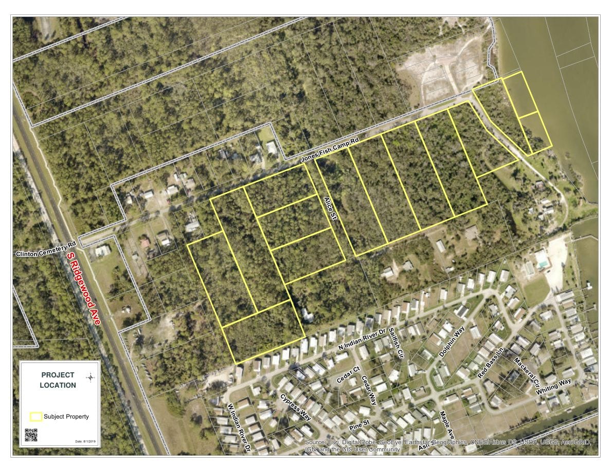 Satellite · city outline
Expand for details33 records · 2 vote records · map & project info
Timeline and votes
Decisions & project history
Newest firstEdgewater City Council · Road agreement
Jones Fish Camp Road agreement approved
Approved 4–0 · Mike Thomas excusedEdgewater City Council · Individual votes
Diezel DePew YESCharlotte Gillis YESDebbie Dolbow YESEric Rainbird YESMike Thomas EXCUSEDRecord details & sources
The Council approved improvements to the road beside Riverfront Estates after residents provided design input. This is an adjacent infrastructure decision, not a new approval of the neighborhood or evidence that its homes are complete.
The minutes describe two roundabouts, a bike path, underground utilities and improved drainage. They record a five-year completion requirement and a City share of $1,888,155.82; this is an agreement commitment, not money verified as spent.
Edgewater Building Department · Occupancy
One Riverfront Estates home receives occupancy certificate
Record details & sources
The city table records 4240 Alice Drive, permit 24-1465. This confirms the listed home, not completion of the whole neighborhood.
Official source ↗Edgewater Building Department · Occupancy
One Riverfront Estates home receives occupancy certificate
Record details & sources
The city table records 134 Jones Fish Camp Road, permit 24-1689.
Official source ↗Original public record
1 occupancy certificates listed for 2025-06
Record details & sources
The city’s occupancy table lists 4243 ALICE ST — 6/3/2025, permit 24-1466, parcel 8538-19-00-0480. These individual certificates are historical evidence, not proof that every home or the whole development is complete. The report cover says fiscal 2025–2026, but these certificate rows explicitly say 2025.
Original public record
1 occupancy certificates listed for 2025-05
Record details & sources
The city’s occupancy table lists 136 JONES FISH CAMP RD — 5/28/2025, permit 24-1467, parcel 8538-19-00-0020. These individual certificates are historical evidence, not proof that every home or the whole development is complete. The report cover says fiscal 2025–2026, but these certificate rows explicitly say 2025.
Original public record
1 occupancy certificates listed for 2025-04
Record details & sources
The city’s occupancy table lists 202 RIVER FRONT WAY — 4/9/2025, permit 24-1329, parcel 8538-19-00-1070. These individual certificates are historical evidence, not proof that every home or the whole development is complete. The report cover says fiscal 2025–2026, but these certificate rows explicitly say 2025.
Original public record
7 certificate rows documented for 2025-03
Record details & sources
The city’s January–March 2025 occupancy table lists 192 RIVER FRONT WAY — 3/20/2025, permit 24-1324; 204 RIVER FRONT WAY — 3/21/2025, permit 24-1330; 190 RIVER FRONT WAY — 3/21/2025, permit 24-1323; 194 RIVER FRONT WAY — 3/26/2025, permit 24-1325; 196 RIVER FRONT WAY — 3/26/2025, permit 24-1326; 198 RIVER FRONT WAY — 3/26/2025, permit 24-1327; 200 RIVER FRONT WAY — 3/26/2025, permit 24-1328. These are additional detailed source rows, not necessarily new homes beyond earlier reported minimums. These entries may overlap earlier counts and are not added to them. The source’s repeated January heading includes explicitly dated February and March rows.
Original public record
1 certificate rows documented for 2025-02
Record details & sources
The city’s January–March 2025 occupancy table lists 303 RIVER FRONT WAY — 2/6/2025, permit 24-1348. These are additional detailed source rows, not necessarily new homes beyond earlier reported minimums. These entries may overlap earlier counts and are not added to them. The source’s repeated January heading includes explicitly dated February and March rows.
Original public record
20 certificate rows documented for 2025-01
Record details & sources
The city’s January–March 2025 occupancy table lists 184 RIVER FRONT WAY — 1/17/2025, permit 24-1237; 182 RIVER FRONT WAY — 1/17/2025, permit 24-1239; 176 RIVER FRONT WAY — 1/17/2025, permit 24-1303; 178 RIVER FRONT WAY — 1/17/2025, permit 24-1304; 180 RIVER FRONT WAY — 1/17/2025, permit 24-1306; 172 RIVER FRONT WAY — 1/17/2025, permit 24-1311; 170 RIVER FRONT WAY — 1/17/2025, permit 24-1314; 174 RIVER FRONT WAY — 1/17/2025, permit 24-1310; 150 JONES FISH CAMP RD — 1/22/2025, permit 24-1358; 146 JONES FISH CAMP RD — 1/22/2025, permit 24-1360; 136 RIVER FRONT WAY — 1/27/2025, permit 24-708; 134 RIVER FRONT WAY — 1/27/2025, permit 24-707; 132 RIVER FRONT WAY — 1/27/2025, permit 24-706; 210 RIVER FRONT WAY — 1/28/2025, permit 24-1339; 214 RIVER FRONT WAY — 1/28/2025, permit 24-1341; 220 RIVER FRONT WAY — 1/28/2025, permit 24-1344; 130 RIVER FRONT WAY — 1/28/2025, permit 24-703; 216 RIVER FRONT WAY — 1/28/2025, permit 24-1342; 218 RIVER FRONT WAY — 1/29/2025, permit 24-1343; 212 RIVER FRONT WAY — 1/31/2025, permit 24-1340. These are additional detailed source rows, not necessarily new homes beyond earlier reported minimums. These entries may overlap earlier counts and are not added to them. The source’s repeated January heading includes explicitly dated February and March rows.
Edgewater Development Services · Historical report
Drainage revision awaited during late 2024
Record details & sources
During October–December 2024, staff coordinated with Lennar on Riverfront Estates at Jones Fish Camp Road and awaited a new grading plan for a bypass swale. The report gives no exact meeting date.
Original public record
13 certificate rows documented for 2024-12
Record details & sources
The city’s scanned certificate table lists 140 JONES FISH CAMP RD. — 12/6/2024, permit 24-1346; 140 RIVER FRONT WAY — 12/16/2024, permit 24-1231; 142 RIVER FRONT WAY — 12/16/2024, permit 24-1224; 144 RIVER FRONT WAY — 12/16/2024, permit 24-1222; 146 RIVER FRONT WAY — 12/16/2024, permit 24-1199; 148 RIVER FRONT WAY — 12/16/2024, permit 24-1174; 150 RIVER FRONT WAY — 12/16/2024, permit 24-1173; 152 JONES FISH CAMP RD. — 12/16/2024, permit 24-1357; 307 RIVER FRONT WAY — 12/16/2024, permit 24-1407; 151 RIVER FRONT WAY — 12/18/2024, permit 24-1159; 153 RIVER FRONT WAY — 12/18/2024, permit 24-1162; 155 RIVER FRONT WAY — 12/18/2024, permit 24-1165; 157 RIVER FRONT WAY — 12/18/2024, permit 24-1170. Dates and permit references were checked against the page images. These detailed certificate records are not necessarily additional homes beyond earlier counts. These entries may overlap earlier counts and are not added to them. The neighborhood label does not independently establish a subdivision phase.
Original public record
14 certificate rows documented for 2024-11
Record details & sources
The city’s scanned certificate table lists 142 JONES FISH CAMP RD. — 11/6/2024, permit 24-1347; 144 JONES FISH CAMP RD. — 11/6/2024, permit 24-1349; 148 JONES FISH CAMP RD. — 11/6/2024, permit 24-1359; 177 RIVER FRONT WAY — 11/6/2024, permit 24-337; 179 RIVER FRONT WAY — 11/6/2024, permit 24-335; 181 RIVER FRONT WAY — 11/6/2024, permit 24-334; 183 RIVER FRONT WAY — 11/6/2024, permit 24-333; 185 RIVER FRONT WAY — 11/6/2024, permit 24-332; 171 RIVER FRONT WAY — 11/7/2024, permit 24-340; 175 RIVER FRONT WAY — 11/7/2024, permit 24-338; 173 RIVER FRONT WAY — 11/7/2024, permit 24-339; 349 RIVER FRONT WAY — 11/8/2024, permit 24-699; 317 RIVER FRONT WAY — 11/15/2024, permit 24-1315; 333 RIVER FRONT WAY — 11/18/2024, permit 24-1309. Dates and permit references were checked against the page images. These detailed certificate records are not necessarily additional homes beyond earlier counts. These entries may overlap earlier counts and are not added to them. The neighborhood label does not independently establish a subdivision phase.
Original public record
3 certificate rows documented for 2024-10
Record details & sources
The city’s scanned certificate table lists 186 JONES FISH CAMP RD. — 10/2/2024, permit 24-1142; 138 JONES FISH CAMP RD. — 10/16/2024, permit 24-1350; 325 RIVER FRONT WAY — 10/21/2024, permit 24-1316. Dates and permit references were checked against the page images. These detailed certificate records are not necessarily additional homes beyond earlier counts. These entries may overlap earlier counts and are not added to them. The neighborhood label does not independently establish a subdivision phase.
City planning records · Historical report
September home occupancy certificates listed
Record details & sources
River Front Way: September 4, 375 (24-1003); September 16, 359 (24-697); September 18, 357 (24-1006); September 20, 377 (24-1002); September 24, 371 (24-1004); September 25, 363 (24-1005).
City planning records · Historical report
Another home cleared for occupancy
Record details & sources
355 River Front Way, permit 24-1007.
Edgewater Development Services · Historical report
Further homes cleared during July–August
Record details & sources
Occupancy certificates, with permits in parentheses: July 16: 180 Jones Fish Camp (24-331); July 22: 352 River Front (23-3463); July 24: 178 Jones Fish Camp (23-3896); July 25: 182 Jones Fish Camp (23-3901); July 30: 389 River Front (24-690). August 2, River Front: 316 (23-3631), 314 (23-3633), 312 (23-3635), 310 (23-3636), 308 (23-3637), 306 (23-3638), 304 (23-3639), 302 (23-3640). August 6: 361 (24-696), 385 (24-691); August 13: 353 (24-698), 369 (24-694); August 16: 373 (24-693); August 20: 381 (24-692), all River Front Way. Jones Fish Camp addresses are Road.
Edgewater Development Services · Historical report
Six detached homes cleared for occupancy
Record details & sources
River Front Way occupancy certificates: 211 (23-3017), 213 (23-3018), 215 (23-3020), 217 (23-3021), 219 (23-3022), and 221 (23-3023).
Edgewater Development Services · Historical report
Another townhome cleared for occupancy
Record details & sources
342 River Front Way: occupancy certificate, permit 23-3468.
Edgewater Development Services · Historical report
Five townhomes cleared for occupancy
Record details & sources
River Front Way occupancy certificates: 356 (23-3461), 344 (23-3467), 346 (23-3466), 350 (23-3465), and 354 (23-3462).
Edgewater Development Services · Historical report
Home cleared for occupancy
Record details & sources
70 Jones Fish Camp Road: occupancy certificate, permit 23-3612.
Edgewater Development Services · Historical report
Home cleared for occupancy
Record details & sources
72 Jones Fish Camp Road: occupancy certificate, permit 23-3741.
Edgewater Development Services · Historical report
Home cleared for occupancy
Record details & sources
68 Jones Fish Camp Road: occupancy certificate, permit 23-3740.
Edgewater Development Services · Historical report
Home cleared for occupancy
Record details & sources
166 Jones Fish Camp Road: occupancy certificate, permit 23-3736.
Edgewater Development Services · Historical report
Home cleared for occupancy
Record details & sources
54 Jones Fish Camp Road: occupancy certificate, permit 23-3447.
Edgewater Development Services · Historical report
Home cleared for occupancy
Record details & sources
56 Jones Fish Camp Road: occupancy certificate, permit 23-3355.
Edgewater Development Services · Occupancy report
1 home cleared for occupancy
Record details & sources
Edgewater listed these addresses in its occupancy certificate report.
4244 ALICE ST. · 3/8/2024 · permit 23-2888
Edgewater city report · Development order
Development order issued
Record details & sources
The city project table records this order for Riverfront Estates.
Official source ↗Edgewater Development Services · Project update
Riverfront Estates: city report update
Record details & sources
In September 2025, the city listed 52 detached homes and 88 townhomes, with construction underway and a final lot map approved. The project is absent from the newer table; that alone does not establish completion or cancellation.
Edgewater City Council · Decision
Early lot layout approved · SD-2201
ApprovedRecord details & sources
Edgewater Planning and Zoning Board · Recommendation
Board recommends early lot layout · SD-2201
Recommendation passed 5–0Who voted?
Robert Andrejkovics YESGeorge Kennedy YESBurton Maroney YESEric Rainbird YESPaul Wright YESRecord details & sources
Edgewater Development Services · Historical report
Pre-construction meeting held
Record details & sources
The city records a Riverfront Estates pre-construction meeting before the May 2022 development order.
City planning records · Historical report
Early lot layout and construction plans under review
Record details & sources
The September 2020 report lists the 140-home Riverfront Estates lot layout and construction plans under review, following its May development agreement.
Edgewater City Council · Decision
Development agreement approved
Earlier approval documented in the 2022 staff reportRecord details & sources
Photos and map
Photos & map

Project facts and sources
Project information & sources
- People & companies
Taylor Morrison’s Riverfront page identifies the Edgewater community as sold out for single-family homes. Its nearby townhome marketing is a separate sales offering; sales status does not establish that every planned home has an occupancy certificate.
- Approvals & permits
Taylor Morrison lists the single-family neighborhood sold out; individual occupancy records added.
- Size & completion
Planned / reported: 140 reported homes
Cleared to live in: At least 46 homes
Homes sold: Builder reports sold out; recorded sales count unverified
Reported project scope. At least 46 distinct addresses have city occupancy records: 44 from April–September 2024, plus two from July and September 2025. This is a documented minimum, not a complete occupancy audit. The project denominator remains reported, not a newly reconciled approval total. Records through 2025-09-23.
Full completion unconfirmed.
- Things to know
Lennar’s 28.54-acre plan includes 52 detached homes and 88 townhomes. This is south of Jones Fish Camp Road; Yardly Riverfront is a separate project to the north.
140 homes in the 2025 report. In September 2025, the city listed 52 detached homes and 88 townhomes, with construction underway and a final lot map approved. The project is absent from the newer table; that alone does not establish completion or cancellation.
- Sources
Sources checked: Oct 23, 2026
- Taylor Morrison · Riverfront ↗
- Taylor Morrison · Riverfront Townhomes ↗
- Find this project on the city report map ↗
Historical city reports checked November 5, 2026. Report snapshots describe their stated dates, not current status. The October–December report repeats September tables; only its dated quarter narrative is used for the drainage update.
Earlier city-report history checked November 5, 2026. Report snapshots retain their stated dates and earlier phase counts; they do not establish current permits, occupancy or complete project history.
Original city applications and submission histories checked November 5, 2026. Case statuses and review dates are distinct from building permits and completed construction.
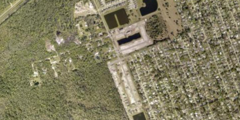 Satellite · reference point
Expand for details41 records · 10 vote records · map & project info
Timeline and votes
Decisions & project history
Newest firstOriginal public record
6 occupancy certificates listed for 2026-06
Record details & sources
The city’s April–June 2026 certificate list records 2602 GOLDEN TROUT LN. — 6/15/2026, permit 24-568; 2604 GOLDEN TROUT LN. — 6/15/2026, permit 24-570; 2606 GOLDEN TROUT LN. — 6/15/2026, permit 24-571; 2702 GOLDEN TROUT LN. — 6/15/2026, permit 24-1469; 2704 GOLDEN TROUT LN. — 6/15/2026, permit 24-573; 2706 GOLDEN TROUT LN. — 6/15/2026, permit 24-574. Parcel identifiers are incomplete in this table and have not been reconstructed. These are individual certificates, not proof that the entire development is complete.
Original public record
5 occupancy certificates listed for 2026-04
Record details & sources
The city’s April–June 2026 certificate list records 2802 SILVER CANOE DR. — 4/28/2026, permit 24-1672; 2804 SILVER CANOE DR. — 4/28/2026, permit 24-1674; 2806 SILVER CANOE DR. — 4/28/2026, permit 24-1681; 2808 SILVER CANOE DR. — 4/28/2026, permit 24-1685; 2810 SILVER CANOE DR. — 4/28/2026, permit 24-1698. Parcel identifiers are incomplete in this table and have not been reconstructed. These are individual certificates, not proof that the entire development is complete.
Original public record
1 additional occupancy certificates listed for 2026-03
Record details & sources
The city certificate table lists 2807 GOLDEN TROUT LN. — 3/13/2026, permit 24-1895. These are individual occupancy records, not a verified business opening, sale or completion of the whole development. Incomplete parcel fields have not been reconstructed.
Original public record
5 additional occupancy certificates listed for 2026-02
Record details & sources
The city certificate table lists 2736 SILVER CANOE DR. — 2/20/2026, permit 24-1660; 2738 SILVER CANOE DR. — 2/20/2026, permit 24-1667; 2740 SILVER CANOE DR. — 2/20/2026, permit 24-2010; 2742 SILVER CANOE DR. — 2/20/2026, permit 24-1668; 2744 SILVER CANOE DR. — 2/20/2026, permit 24-1670. These are individual occupancy records, not a verified business opening, sale or completion of the whole development. Incomplete parcel fields have not been reconstructed.
Original public record
8 additional occupancy certificates listed for 2026-01
Record details & sources
The city certificate table lists 2801 GOLDEN TROUT LN. — 1/23/2026, permit 24-1888; 2803 GOLDEN TROUT LN. — 1/23/2026, permit 24-1889; 2805 GOLDEN TROUT LN. — 1/23/2026, permit 24-1892; 2746 GOLDEN TROUT LN. — 1/30/2026, permit 24-2485; 2802 GOLDEN TROUT LN. — 1/30/2026, permit 24-2489; 2804 GOLDEN TROUT LN. — 1/30/2026, permit 24-2490; 2806 GOLDEN TROUT LN. — 1/30/2026, permit 24-2493; 2808 GOLDEN TROUT LN. — 1/30/2026, permit 24-2497. These are individual occupancy records, not a verified business opening, sale or completion of the whole development. Incomplete parcel fields have not been reconstructed.
Original public record
2 additional occupancy certificates listed for 2025-11
Record details & sources
The city certificate table lists 2743 GOLDEN TROUT LN. — 11/3/2025, permit 24-1881; 2745 GOLDEN TROUT LN. — 11/3/2025, permit 24-1886. These are individual occupancy records, not a verified business opening, sale or completion of the whole development. Incomplete parcel fields have not been reconstructed.
Original public record
2 additional occupancy certificates listed for 2025-10
Record details & sources
The city certificate table lists 2739 GOLDEN TROUT LN. — 10/31/2025, permit 24-1877; 2741 GOLDEN TROUT LN. — 10/31/2025, permit 24-1879. These are individual occupancy records, not a verified business opening, sale or completion of the whole development. Incomplete parcel fields have not been reconstructed.
Edgewater Building Department · Occupancy
One Rivers Edge townhome receives occupancy certificate
Record details & sources
The city table lists 2742 Golden Trout Lane, permit 24-2728.
Official source ↗Edgewater Building Department · Occupancy
Five Rivers Edge townhomes receive occupancy certificates
Record details & sources
The city table lists 2734, 2736, 2738, 2740 and 2744 Golden Trout Lane, permits 24-2723, 24-2724, 24-2725, 24-2727 and 24-2729.
Official source ↗Edgewater Building Department · Occupancy
Four Rivers Edge townhomes receive occupancy certificates
Record details & sources
The table lists 2731, 2733, 2735 and 2737 Golden Trout Lane, permits 24-1873 through 24-1876.
Official source ↗Edgewater Building Department · Occupancy
Four Rivers Edge townhomes receive occupancy certificates
Record details & sources
The table lists 2726, 2728, 2730 and 2732 Golden Trout Lane, permits 24-2719 through 24-2722.
Official source ↗Edgewater Building Department · Occupancy
Four Rivers Edge homes receive occupancy certificates
Record details & sources
The table lists 2716, 2720, 2722 and 2724 Golden Trout Lane, permits 24-2711 and 24-2716 through 24-2718.
Official source ↗Edgewater Building Department · Occupancy
One Rivers Edge home receives occupancy certificate
Record details & sources
The table lists 2718 Golden Trout Lane, permit 24-2714.
Official source ↗Edgewater Building Department · Occupancy
Four Rivers Edge townhomes receive occupancy certificates
Record details & sources
The table lists 2708, 2710, 2712 and 2714 Golden Trout Lane, permits 24-575, 24-577, 24-578 and 24-580. These records do not by themselves certify all 111 homes complete.
Official source ↗Builder source · Source review
Builder and community information checked
Record details & sources
D.R. Horton identifies Rivers Edge as its Edgewater townhome community, with its model address at 2741 Silver Canoe Drive. A sales listing does not establish that every approved home has an occupancy certificate.
Official builder sourceOriginal public record
5 certificate rows documented for 2025-03
Record details & sources
The city’s January–March 2025 occupancy table lists 2821 SILVER CANOE DR. — 3/5/2025, permit 24-1260 (commercial certificate); 2723 GOLDEN TROUT LN — 3/18/2025, permit 24-2015; 2729 GOLDEN TROUT LN — 3/18/2025, permit 24-2018; 2725 GOLDEN TROUT LN — 3/21/2025, permit 24-2016; 2727 GOLDEN TROUT WAY — 3/21/2025, permit 24-2017. These are additional detailed source rows, not necessarily new homes beyond earlier reported minimums. These entries may overlap earlier counts and are not added to them. The source’s repeated January heading includes explicitly dated February and March rows.
Original public record
6 certificate rows documented for 2025-02
Record details & sources
The city’s January–March 2025 occupancy table lists 2711 GOLDEN TROUT LN. — 2/21/2025, permit 24-2006; 2715 GOLDEN TROUT LN. — 2/21/2025, permit 24-2009; 2719 GOLDEN TROUT LN. — 2/21/2025, permit 24-2013; 2721 GOLDEN TROUT LN. — 2/21/2025, permit 24-2014; 2713 GOLDEN TROUT LN. — 2/26/2025, permit 24-2008; 2717 GOLDEN TROUT LN. — 2/26/2025, permit 24-2011. These are additional detailed source rows, not necessarily new homes beyond earlier reported minimums. These entries may overlap earlier counts and are not added to them. The source’s repeated January heading includes explicitly dated February and March rows.
Original public record
9 certificate rows documented for 2025-01
Record details & sources
The city’s January–March 2025 occupancy table lists 2120 GENTLE RAIN DR. — 1/15/2025, permit 24-559; 2122 GENTLE RAIN DR. — 1/15/2025, permit 24-563; 2124 GENTLE RAIN DR. — 1/15/2025, permit 24-565; 2126 GENTLE RAIN DR. — 1/15/2025, permit 24-567; 2134 GENTLE RAIN DR — 1/21/2025, permit 24-506; 2132 GENTLE RAIN DR — 1/21/2025, permit 24-505; 2130 GENTLE RAIN DR — 1/21/2025, permit 24-504; 2118 GENTLE RAIN DR. — 1/24/2025, permit 24-557; 2128 GENTLE RAIN DR. — 1/28/2025, permit 24-503. These are additional detailed source rows, not necessarily new homes beyond earlier reported minimums. These entries may overlap earlier counts and are not added to them. The source’s repeated January heading includes explicitly dated February and March rows.
Original public record
4 certificate rows documented for 2024-12
Record details & sources
The city’s scanned certificate table lists 2110 GENTLE RAIN DR. — 12/6/2024, permit 24-476; 2112 GENTLE RAIN DR. — 12/6/2024, permit 24-477; 2114 GENTLE RAIN DR. — 12/6/2024, permit 24-479; 2116 GENTLE RAIN DR. — 12/9/2024, permit 24-480. Dates and permit references were checked against the page images. These detailed certificate records are not necessarily additional homes beyond earlier counts. These entries may overlap earlier counts and are not added to them. The neighborhood label does not independently establish a subdivision phase.
Original public record
5 certificate rows documented for 2024-11
Record details & sources
The city’s scanned certificate table lists 2709 SILVER CANOE DR. — 11/8/2024, permit 24-515; 2603 SILVER CANOE DR. — 11/18/2024, permit 24-508; 2605 SILVER CANOE DR. — 11/18/2024, permit 24-509; 2601 SILVER CANOE DR. — 11/18/2024, permit 24-507; 2701 SILVER CANOE DR — 11/25/2024, permit 24-510. Dates and permit references were checked against the page images. These detailed certificate records are not necessarily additional homes beyond earlier counts. These entries may overlap earlier counts and are not added to them. The neighborhood label does not independently establish a subdivision phase.
Original public record
2 certificate rows documented for 2024-10
Record details & sources
The city’s scanned certificate table lists 2703 SILVER CANOE DR — 10/7/2024, permit 24-512; 2705 SILVER CANOE DR — 10/7/2024, permit 24-513. Dates and permit references were checked against the page images. These detailed certificate records are not necessarily additional homes beyond earlier counts. These entries may overlap earlier counts and are not added to them. The neighborhood label does not independently establish a subdivision phase.
City planning records · Historical report
Three more occupancy certificates listed
Record details & sources
Golden Trout Lane: 132 (23-3935), 130 (23-3936), 128 (23-3937).
City planning records · Historical report
Six townhome occupancy certificates listed
Record details & sources
Golden Trout Lane: 126 (23-3748), 124 (23-3749), 122 (23-3750), 120 (23-3751), 118 (23-3752), 116 (23-3753).
City planning records · Historical report
Three townhome occupancy certificates listed
Record details & sources
Golden Trout Lane: 114 (23-3777), 112 (23-3778), 110 (23-3779).
City planning records · Historical report
Two townhome occupancy certificates listed
Record details & sources
Golden Trout Lane: 104 (23-3780), 108 (23-3781).
Edgewater Development Services · Occupancy report
4 homes cleared for occupancy
Record details & sources
Edgewater listed these addresses in its occupancy certificate report.
2739 SILVER CANOE DR. · 3/19/2024 · permit 23-3583
2741 SILVER CANOE DR. · 3/19/2024 · permit 23-3565
2735 SILVER CANOE DR. · 3/20/2024 · permit 23-3607
2737 SILVER CANOE DR. · 3/20/2024 · permit 23-3586Edgewater Development Services · Historical report
Air Park Village listed under construction
Record details & sources
The December report lists the 111-townhome neighborhood under construction.
Edgewater Development Services · Historical report
Report lists an earlier development-order date
Record details & sources
The September report lists August 3, 2022 for Air Park Village’s development order. That reported date precedes the separately recorded September lot-layout approval; the records are not treated as the same action.
Edgewater Development Services · Historical report
Air Park Village plans in earlier review
Record details & sources
The city lists the 111-townhome neighborhood’s early lot layout and construction plans under review.
Planning and Zoning Board · Recommendation
Board recommends residential zoning
Record details & sources
Planning and Zoning Board · Recommendation
Board recommends bringing the property into the city
Recommendation passed 7–0Who voted?
George Kennedy YESRobert Andrejkovics YESPaul Wright YESThomas Duane YESBurton Maroney YESAlbert Amalfitano YESEric Rainbird YESRecord details & sources
Planning and Zoning Board · Recommendation
Board recommends residential land-use designation
Recommendation passed 7–0Who voted?
George Kennedy YESRobert Andrejkovics YESPaul Wright YESThomas Duane YESBurton Maroney YESAlbert Amalfitano YESEric Rainbird YESRecord details & sources
City Council · First review of the proposed law
Residential zoning passes first review of the proposed law
First reading passed 3–1Who voted?
Mike Thomas YESChristine Power YESKimberley Yaney YESGary Conroy NOMegan O’Keefe EXCUSEDRecord details & sources
City Council · First review of the proposed law
Council gives initial support to bringing the property into the city
Passed 3–1Who voted?
Mike Thomas YESChristine Power YESKimberly Yaney YESGary T. Conroy NORecord details & sources
City Council · First review of the proposed law
Council advances residential land-use designation
Passed 3–1Who voted?
Mike Thomas YESChristine Power YESKimberly Yaney YESGary T. Conroy NORecord details & sources
City Council · Decision
Residential zoning and development agreement adopted
Passed 4–1Who voted?
Mike Thomas YESChristine Power YESKimberly Yaney YESMegan O'Keefe YESGary T. Conroy NORecord details & sources
City Council · Decision
Council approves bringing the property into the city
Passed 5–0Who voted?
Mike Thomas YESChristine Power YESKimberly Yaney YESMegan O'Keefe YESGary T. Conroy YESRecord details & sources
City Council · Decision
Council approves residential land-use designation
Passed 4–1Who voted?
Mike Thomas YESChristine Power YESKimberly Yaney YESMegan O'Keefe YESGary T. Conroy NORecord details & sources
Planning and Zoning Board · Recommendation
Board recommends lot layout
Passed 7–0Who voted?
Albert Amalfitano YESRobert Andrejkovics YESThomas Duane YESGeorge Kennedy YESEric Rainbird YESPaul Wright YESChris Hatcher YESRecord details & sources
City Council · Record
Council approves preliminary lot layout
Passed 5–0Who voted?
Mike Thomas YESChristine Power YESGigi Bennington YESDebbie Dolbow YESJonah Powers YESRecord details & sources
Project record · Record
City project update
Record details & sources
The city report listed an approved final lot map and construction activity.
Photos and map
Photos & map
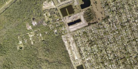
Project facts and sources
Project information & sources
- Approvals & permits
Appeared finished during an Oct 22, 2026 visit.
- Size & completion
Planned / reported: 111 homes
Cleared to live in: At least 23 homes
Homes sold: Not confirmed.
111 approved townhomes. Existing July–September 2025 records identify at least 23 distinct homes cleared for occupancy. The 2024 report lists 14 certificates at differently numbered Golden Trout Lane addresses; these are retained separately and are not added to that minimum until parcel and address numbering are reconciled. Full-neighborhood completion remains unconfirmed.
Full completion unconfirmed.
- Things to know
The 111-townhome neighborhood was approved as Air Park Village. An October 22 visit found completed-looking homes and no active construction, but did not verify occupancy certificates for every home. Streets include Silver Canoe Drive, Gentle Rain Drive and Golden Trout Lane. official Rivers Edge final-plat case FP-2301
- Sources
Sources checked: Through Sep 30, 2025
Earlier city-report history checked November 5, 2026. Report snapshots retain their stated dates and earlier phase counts; they do not establish current permits, occupancy or complete project history.
Original city applications and submission histories checked November 5, 2026. Case statuses and review dates are distinct from building permits and completed construction.
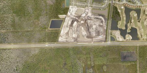 Satellite · reference point
Expand for details21 records · 13 vote records · map & project info
Timeline and votes
Decisions & project history
Newest firstNew Smyrna Beach Planning Department · Historical snapshot
City lists Phase 6 under construction
Record details & sources
The January 2025 development report lists 209 single-family lots in The Palms Phase 6 under construction. This is a dated phase snapshot, not the status of all Venetian Bay.
City development report · Project update
Phase 6 listed under construction
Record details & sources
The city report lists 209 single-family lots. This is a dated city status, not a current finding that all of Venetian Bay is under construction.
New Smyrna Beach City Planning · Historical report
Palms Phase 6 listed under construction
Record details & sources
S-05-21: the city listed this 209-lot phase under construction. This count covers Phase 6 only.
City Commission · Approval
Final lot map and construction plans approved for The Palms Phase 6
Passed 4–1Recorded vote · 4–1
The minutes explicitly name Jake Sachs as voting No. They do not individually name the four Yes voters in this motion; those ballots are not reconstructed from attendance.
Jake Sachs NORecord details & sources
Commissioner Jake Sachs voted no. Vice Mayor Jason McGuirk moved approval and Commissioner Michael Kolody seconded.
Planning and Zoning Board · Recommendation
Planning board recommends Phase 6 lot map
Individual votes · explicitly listed in the minutes
Stephen Snively YESKip Hulvershorn YESSusan Neylon YESSandra Smith YESSteve Danskine YESRecord details & sources
The board recommended the final lot map for 209 single-family lots on 68.4 acres. This was a recommendation to the City Commission, not final approval or evidence that homes were finished. The minutes label the case S-2-21; later city reports use S-05-21 for Phase 6. That identifier difference remains explicit.
New Smyrna Beach City Planning · Historical report
Palms amenity-center staff approval reported
Record details & sources
SP-11-19: the March 2024 inventory dates staff approval to April 3, 2020; amenity construction was underway by that report.
City Commission · Phase-specific plat
Three Phase 2B lots replatted
Approved 3–1Named vote explicitly recorded
Jake Sachs NORecord details & sources
The Commission approved the Phase 2B replat of Lots 158–160, 3–1, with Jake Sachs explicitly recorded as voting No. Staff described three lots only and a remedy for lot-width issues; Geosam attorney Amber Coleman described an engineering oversight. This changed those three Phase 2B lots, not the Phase 6 home count. The minutes do not individually name the three Yes voters in this motion.
City Commission · Phase-specific plat
Palms 4 revised plat approved
Approved 4–1Named vote explicitly recorded
Michael Kolody NORecord details & sources
The Commission approved S-2-19, the Palms 4 revised plat, 4–1, with Michael Kolody explicitly recorded as voting No. During discussion, staff said a Phase 6 plan had not yet been seen and would still need to meet minimum lot requirements. This Phase 4 replat did not approve Phase 6. The four Yes ballots are not reconstructed from attendance.
Volusia County · Transportation review report
County reports parent-tract traffic-study discussions
Record details & sources
The county’s activity report for January 26–February 8 says staff met with New Smyrna Beach staff and Geosam developers to discuss required parent-tract Transportation Impact Analysis methodologies for The Palms. The report gives a reporting period, not the meeting’s exact date. It records review discussions, not an approved traffic study, a permit or a finding that Phase 6 traffic impacts were resolved.
City Commission · Phase-specific plat
Original Phase 4 lot map approved
Approved unanimously · individual ballots not listedRecord details & sources
The Commission approved S-3-18, The Palms Phase 4 subdivision plat, and authorized the mayor to sign the contract for recording it. The minutes describe 118 townhome lots and 64 modern duplex lots on 42.52 acres. The motion passed unanimously, without an individual Yes list. This is the original Phase 4 approval; the separate August 2019 replat changed that phase later. These lot counts are not added to the 209-lot Phase 6 figure.
City Commission · Phase 2B plat approval
Phase 2B subdivision plat approved
Approved 4–1Named vote explicitly recorded
Jake Sachs NORecord details & sources
The Commission approved S-10-17, The Palms Phase 2B subdivision plat, 4–1, with Jake Sachs explicitly recorded as voting No. The plat described 143 single-family lots on 49.83 acres. Jason McGuirk moved approval and Randy Hartman seconded. The minutes do not individually list the four Yes voters. This is the original Phase 2B approval, separate from its three-lot 2020 replat and the 209-lot Phase 6 approval.
City Commission · Master agreement adoption
Mixed-use master-agreement amendment adopted
Adopted 5–0Individual votes · explicitly listed in the minutes
Jason McGuirk YESJim Hathaway YESJudy Reiker YESJake Sachs YESRandy Hartman YESMoved by Jason McGuirk; seconded by Jake Sachs.
Record details & sources
Ordinance 11-18 (PUD-9-17) amended the Venetian Bay Village Master Development Agreement to allow mixed-use development in the Convenience Commercial Zone. Geosam Capital attorney James Stowers represented the applicant. The motion passed unanimously, with all five Yes voters listed. This concerns the wider Venetian Bay agreement; it is not the 2022 approval of The Palms Phase 6 lot map.
City Commission · Phase-specific plat
Phase 2A final lot map approved
Approved unanimously · individual ballots not listedRecord details & sources
The Commission unanimously approved S-9-17, The Palms Phase 2A final lot map: 21 single-family lots on 10.15 acres. Jason McGuirk moved approval and Judy Reiker seconded. This motion records unanimity without an individual Yes list; names are not reconstructed from attendance. These Phase 2A lots are separate from the later 209-lot Phase 6 approval.
City Commission · First reading
Mixed-use agreement amendment advances at first reading
First reading approved 5–0Individual votes · explicitly listed in the minutes
Jason McGuirk YESJim Hathaway YESJudy Reiker YESJake Sachs YESRandy Hartman YESMoved by Randy Hartman; seconded by Jason McGuirk.
Record details & sources
The Commission advanced Ordinance 11-18 (PUD-9-17), proposing mixed-use development in Venetian Bay’s Convenience Commercial Zone, with five Yes voters explicitly listed. Although the item description says “second reading,” the section heading, motion and result identify this as first reading. Final adoption followed on February 27; this vote alone did not adopt the amendment.
City Commission · Agenda change
Phase I plat removed from the meeting agenda
Removed from agenda · no approval recordedRecord details & sources
The opening agenda changes removed consent item 7B, S-3-17, The Palms Phase I. The printed item described a proposed 107-lot subdivision on 27.96 acres, but no approval motion follows it. Its presence under an “Approve” agenda label is not evidence of approval that day. The actual approval date and recorded plat remain to be confirmed.
City Commission · Agenda deferral
Phase I plat deferred to an August agenda
Deferred · no approval recordedRecord details & sources
The opening agenda changes removed consent item 7J and moved it to August 8. That printed item was S-3-17, The Palms Phase I, proposing 107 lots on 27.96 acres. No approval motion follows the item. This record documents a deferral, not approval of those lots; the item was subsequently removed again on August 8.
City Commission · Second reading and public hearing
Palms master-agreement rewrite adopted 3–1
Adopted 3–1Individual votes · explicitly listed in the minutes
Jason McGuirk YESJim Hathaway YESJudy Reiker YESJake Sachs NORecord details & sources
Item 4.A adopted Ordinance 41-17 (PUD-2-17), approving The Palms Amended and Restated Master Development Agreement as submitted. This is the final adoption following the separate May 23 first reading.
The original minutes explicitly list McGuirk, Hathaway and Reiker as Yes; Sachs as No; and Hartman as excused. No vote is assigned to the excused member. The agreement adoption does not establish later phase-plat approval, construction completion, occupancy or current ownership. The full agreement and exhibits remain a separate source-review requirement.
Excused: Randy Hartman, as listed in the minutes.
City Commission · First reading
Palms master-agreement rewrite advances at first reading
First reading approved 4–1Individual votes · explicitly listed in the minutes
Jason McGuirk YESJim Hathaway YESJudy Reiker YESRandy Hartman YESJake Sachs NORecord details & sources
Ordinance 41-17 (PUD-2-17), proposing an amended and restated master development agreement for The Palms, passed first reading 4–1. The original vote table explicitly lists four Yes voters and Jake Sachs as voting No. The item description incorrectly says second reading, while the motion and result say first reading. A June 13 hearing was scheduled; this record alone does not establish final adoption or approval of a subdivision plat.
City Commission · Master agreement adoption
Eleventh master-agreement amendment adopted
Adopted 4–0 · one abstentionIndividual votes · explicitly listed in the minutes
Jack S. Grasty YESAdam R. Barringer YESVice Mayor McGuirk YESKirk E. Jones YESJudith A. Reiker ABSTAINEDMoved by Kirk E. Jones; seconded by Vice Mayor McGuirk.
Record details & sources
The Commission adopted Ordinance 12-14, the eleventh amendment to the Village Planned Development / Planned Unit Development Master Development Agreement. The minutes identify Geosam Capital US (Venetian Bay) LP as successor to Venetian Bay of New Smyrna Beach, LLC, a historical agreement role rather than proof of current parcel ownership. Four commissioners voted Yes; Judith A. Reiker abstained after declaring a voting conflict. This is wider Venetian Bay agreement history, separate from the later 209-lot Phase 6 approval.
City Commission · First reading
Eleventh agreement amendment passes first reading
First reading approved 4–0 · one abstentionIndividual votes · explicitly listed in the minutes
Jack S. Grasty YESAdam R. Barringer YESVice Mayor McGuirk YESKirk E. Jones YESJudith A. Reiker ABSTAINEDMoved by Jack S. Grasty; seconded by Kirk E. Jones.
Record details & sources
Ordinance 12-14 advanced at first reading to amend Venetian Bay’s master development agreement. The roll call records four Yes votes and Judith A. Reiker’s abstention for a disclosed voting conflict. This was the proposal stage; the adoption hearing occurred on April 8, 2014. It was not approval of The Palms Phase 6 final lot map.
City Planning Department · Historical case reference
Earlier city records use the Hampton Village name
Record details & sources
The city’s June 9, 2010 planning-capacity table labels both “Palms Phase 1, The / Hampton Village” (preliminary lot map S-10-06) and “Palms, The / Hampton Village” (SP-20-06). It records 75 and 204 dwelling units against those historical case columns. These are dated planning-capacity entries, not proof of current permits, completed homes or a replacement for Phase 6’s separate 209-lot approval. The earlier case and later agreement changes have not been linked to a single approved boundary.
Photos and map
Photos & map
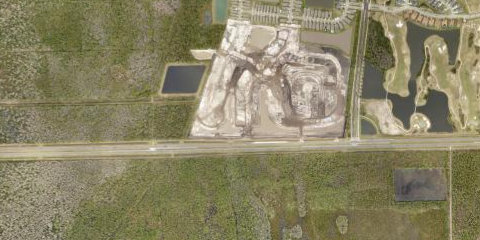
Project facts and sources
Project information & sources
- Approvals & permits
Established neighborhood · new homes for sale.
- Size & completion
Planned / reported: 209 homes
Cleared to live in: Not confirmed.
Homes sold: Not confirmed.
Counts only Phase 6 of The Palms, not all of Venetian Bay. A complete city list of homes cleared to live in is not confirmed.
Full completion unconfirmed.
- Things to know
Venetian Bay has several neighborhoods and builders. The 209-lot figure applies only to The Palms Phase 6, not all of Venetian Bay or a confirmed Ryan Homes allocation. Geosam’s “Sold” portfolio label does not mean every home is built or occupied.
S-05-21, The Palms Phase 6. The locator centers on Ryan Homes’ listed model address, 112 Venetian Palms Boulevard; it does not show the Phase 6 boundary.
- Sources
Sources checked: Oct 23, 2026
Earlier city-report history checked November 5, 2026. Report snapshots retain their stated dates and earlier phase counts; they do not establish current permits, occupancy or complete project history.
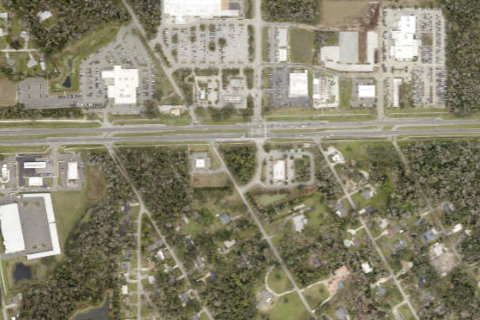 Satellite · reference point
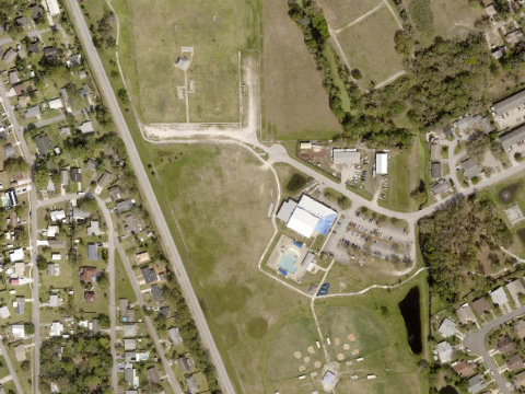 Satellite · reference point
Expand for details9 records · 1 vote record · map & project info
Timeline and votes
Decisions & project history
Newest firstCity of Edgewater · Park reservation
City calendar lists a pickleball-court reservation
Record details & sources
The city calendar lists a 9 a.m.–3 p.m. Hawks Park Pickleball reservation. This is evidence of a scheduled booking, not a construction completion date.
Official source ↗Volusia County Environmental, Cultural, Historical and Outdoor Recreation Program · Opening report
County program reports Phase 1 open for play
Record details & sources
Volusia County Environmental, Cultural, Historical and Outdoor Recreation Program reports the first four lighted courts open at 150 W. Turgot Avenue, with accessible sidewalks and parking. This is the report date; the ribbon-cutting date is not specified.
Edgewater Development Services · Project update
Hawks Park Pickleball: city report update
Record details & sources
The project appeared in the September 2025 city report. It is not listed in the newer table; its present status is not confirmed by those reports.
City of Edgewater · Construction update
City reports court construction underway
Record details & sources
The city newsletter reports work underway on the courts and associated amenities west of the Young Men’s Christian Association.
Official source ↗Edgewater Building Department · Permit
Building permit 24-3263 issued
Record details & sources
The September 2025 city report records this permit date.
Official source ↗Edgewater City Council · Contract award
Phase 1 construction contract authorized
Grouped consent agenda approved 5–0
Individual votes · grouped consent motion
Diezel DePew YESCharlotte Gillis YESGigi Bennington YESDebbie Dolbow YESRob Wilkie YESRecord details & sources
The original action summary records approval of the grouped consent agenda, including item 7g, authorizing the $996,522.25 Phase 1 contract with A.G. Pifer Construction. Councilwoman Dolbow moved approval and Councilwoman Bennington seconded. DePew, Gillis, Bennington, Dolbow and Wilkie are each named YES. This is one grouped consent vote, not five separate votes on the courts. Original November 11 action summary ↗ · Original contract-award staff report ↗
Official source ↗Edgewater Development Services · Historical report
Building permit still awaited
Record details & sources
The June 30 report lists no building permit for the pickleball courts following staff approval.
Edgewater Technical Review Committee · Approval
Court project approved by review committee
Record details & sources
The September 2025 city report records committee approval on this date.
Official source ↗Edgewater City Council · Recorded motion
Design and permitting agreement approved
Motion approved 4–0
Individual votes
Mike Thomas EXCUSEDChristine Power YESGigi Bennington YESMegan O'Keefe YESJonah Powers YESRecord details & sources
Council approves the Mead & Hunt design and permitting agreement for Hawks Park pickleball courts and an associated budget change. This was an early design decision, separate from the later construction contract.
Photos and map
Photos & map
Project facts and sources
Project information & sources
- Approvals & permits
Phase 1 open · four lighted courts.
- Size & completion
Project size: Phase 1: four lighted courts with accessible walkways and parking.
Completion: See the dated approvals and project history.
- Things to know
The original Phase 1 authorization was $996,522.25, funded in part by an Environmental, Cultural, Historical and Outdoor Recreation grant and community redevelopment funding. Mead & Hunt reviewed the bids and recommended A.G. Pifer. This is the authorized contract amount, not a verified final project cost. Original contract-award staff report ↗
- Sources
Sources checked: Oct 23, 2026
Historical city reports checked November 5, 2026. Report snapshots describe their stated dates, not current status. The October–December report repeats September tables; only its dated quarter narrative is used for the drainage update.
Original November 11, 2024 grouped-consent action summary and contract-award staff report read November 15, 2026. Original November 11 action summary ↗ · Original contract-award staff report ↗
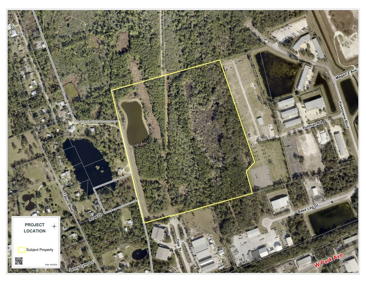 Satellite · city outline
Expand for details10 records · 4 vote records · map & project info
Timeline and votes
Decisions & project history
Newest firstEdgewater Development Services · Project update
Edgewater Public Works Facility: city report update
Record details & sources
City Council approval and building permits 24-2403 and 24-2406 are listed.
Edgewater city report · Recorded milestone
Three occupancy certificates listed at 300 Dale Street
Record details & sources
The city occupancy table lists permits 26-1171, 24-2403 and 24-2406 at the Public Works facility address. This confirms those listed permits, not every part of the facility.
Official city report · page 12Edgewater city report · Recorded milestone
Building permits issued
Record details & sources
The city project table on page 8 records issuance of permits 24-2403 and 24-2406.
Official city report · page 8Edgewater City Council · Decision
Public Works Facility site plan approved · SP-2406
Motion approved 3–2Individual votes
Diezel DePew NOCharlotte Gillis NODebbie Dolbow YESRob Wilkie YESMike Thomas YESRecord details & sources
Edgewater City Council · Recorded motion
Phase 1 construction price approved
Motion approved 3–2
Individual votes
Diezel DePew NOCharlotte Gillis NODebbie Dolbow YESRob Wilkie YESMike Thomas YESRecord details & sources
Council approves the guaranteed maximum price for Phase 1 construction of the Public Works facility. This is separate from the site-plan and oversight-service decisions.
Edgewater City Council · Recorded motion
Phase 1 construction oversight approved
Motion approved 3–2
Individual votes
Diezel DePew NOCharlotte Gillis NODebbie Dolbow YESMike Thomas YESRob Wilkie YESRecord details & sources
Council approves construction administration and observation services for Phase 1, in a separate motion from the site-plan and construction-price approvals.
Edgewater City Council · Recorded postponement
Site-plan request postponed
Record details & sources
The case history records a postponement to the November 11 meeting. The December approval is listed separately.
Edgewater city staff · Public notice
Public notice sign posted for Public Works site plan
Record details & sources
The original SP-2406 staff report records a notice sign posted August 28, 2024. Notices were also mailed to addresses within 500 feet, without a separate mailing date. This notice precedes the later recorded council decision.
Edgewater Development Services · Historical report
Facility plans under staff review
Record details & sources
The June 30 report lists the public works facility at 300 Dale Street under site-plan review.
Edgewater City Council · Recorded motion
Design change approved for phased construction
Motion approved 5–0
Individual votes
Diezel DePew YESCharlotte Gillis YESGigi Bennington YESDebbie Dolbow YESJonah Powers YESRecord details & sources
Council approves a design change order and related budget amendment for the Public Works facility’s phased construction approach.
Photos and map
Photos & map

Project facts and sources
Project information & sources
- People & companies
The original site-plan case names the City of Edgewater as owner and Randy Coslow, P.E., as applicant. The separate Phase 1 construction-price staff text identifies Wharton-Smith Inc. as the city’s selected construction manager. That role is specific to the Phase 1 contract. Original site-plan parties ↗ · Phase 1 contract staff text ↗
The original item names Wharton-Smith Inc. and gives a Phase 1 guaranteed maximum price of $22,791,918, with the staff recommendation contingent on financing and a budget amendment. This is the contract price presented for that phase, not a verified final expenditure for the whole complex. Original December 2 item ↗
- Approvals & permits
Occupancy certificates issued August 6, 2026.
- Size & completion
Project size: 18.21-acre city site; Phase 1 includes about 7,500 square feet of administration space and 16,000 square feet of fleet-maintenance space, plus vehicle fueling.
Completion: The city report lists three occupancy certificates issued August 6, 2026, for permits 26-1171, 24-2403 and 24-2406 at 300 Dale Street. These certificates cover the listed permits, not every part of the facility.
- Things to know
New Edgewater Public Works Facility. City Council approval and building permits 24-2403 and 24-2406 are listed.
The full site-plan proposal includes administration, warehouse storage, fleet maintenance, storage and truck wash, vehicle refueling and an eco-garden. Staff placed the buildings on the southwest part of the city parcel to reduce wetland impacts, preserve trees and use water, power and sewer access along Dale Avenue. Original facility scope ↗
The Phase 1 contract scope is narrower: administration and fleet-maintenance buildings, fuel tanks and a vehicle-fueling site. The $22,791,918 guaranteed maximum price is a phase-specific contract figure; proposed value-engineering savings are not treated as realized savings. The existing occupancy records remain specific to their listed permits. Original Phase 1 scope and price ↗
- Sources
Sources checked: Oct 23, 2026
Historical city reports checked November 5, 2026. Report snapshots describe their stated dates, not current status. The October–December report repeats September tables; only its dated quarter narrative is used for the drainage update.
Additional original Phase 1 contractor, price and building areas, whole-site scope, applicant and August 28 notice details checked November 15, 2026.
 Photo
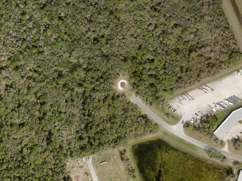 Satellite · reference point
Expand for details11 records · 2 vote records · 1 photo · map & project info
Timeline and votes
Decisions & project history
Newest firstOnicx · Update reviewed
Builder reports the first building ready for occupancy
Record details & sources
Onicx's public update reports an occupancy certificate for the first building at Space Coast Commerce Park. This review date is not the certificate's issue date; later park phases remain separate.
Original public record
City records occupancy for the first industrial building
Record details & sources
The city lists a commercial occupancy certificate dated June 25, 2026 for 302 Parktowne Boulevard, permit 24-2680. The address and permit match this project. This supplies an original city date for the first completed building; it does not establish completion of the entire industrial park.
Edgewater · Original inspection results
Final inspection approved
Record details & sources
The original city inspection records at 302 PARKTOWNE BLVD show:
199 (Building Final) · Approved · permit 24-2680 (COMN00067433325041100) · actual inspection date May 15, 2026 · Original inspection result ↗
These are results for the listed permit and inspections, separate from an occupancy certificate or completion of every project phase.
Edgewater · Original inspection results
Final inspection approved
Record details & sources
The original city inspection records at 302 PARKTOWNE BLVD show:
307 (FIRE FINAL) · Approved · permit 24-2680 (FIRE00067434125041100) · actual inspection date May 14, 2026 · Original inspection result ↗
These are results for the listed permit and inspections, separate from an occupancy certificate or completion of every project phase.
Edgewater · Original inspection results
Final inspection approved
Record details & sources
The original city inspection records at 302 PARKTOWNE BLVD show:
602 (STORMWATER FINAL) · Approved · permit 24-2680 (SPS 00067491125041100) · actual inspection date May 8, 2026; scheduled for May 6, 2026 · Original inspection result ↗
These are results for the listed permit and inspections, separate from an occupancy certificate or completion of every project phase.
Edgewater · Original inspection results
Final inspection results recorded
Record details & sources
The original city inspection records at 302 PARKTOWNE BLVD show:
199 (Building Final) · Cancelled · permit 24-2680 (COMN00067433325041100) · cancellation date May 7, 2026 · Original inspection result ↗
299 (ELECTRICAL FINAL) · Approved · permit 24-2680 (COMN00067433325041100) · actual inspection date May 7, 2026 · Original inspection result ↗
399 (PLB FINAL) · Approved · permit 24-2680 (COMN00067433325041100) · actual inspection date May 7, 2026 · Original inspection result ↗These are results for the listed permit and inspections, separate from an occupancy certificate or completion of every project phase.
Edgewater City Council
Council approves the industrial site plan · SD-2301
Approved 5–0
Individual votes
Diezel DePew YESCharlotte Gillis YESGigi Bennington YESDebbie Dolbow YESJonah Powers YESRecord details & sources
The Council approved the site plan for two industrial buildings totaling 291,830 square feet on about 27 acres. The larger park is being developed in phases.
Edgewater Planning and Zoning Board
Board recommends the industrial site plan · SD-2301
Recommendation passes 6–0 · one absent
Individual votes
George Kennedy YESRobert Andrejkovics YESThomas Duane YESAlbert Amalfitano ABSENTEric Rainbird YESPaul Wright YESChris Hatcher YESRecord details & sources
The Board recommended the site plan for two industrial buildings. This recommendation preceded the Council's October approval.
City project record · Project update
Industrial buildings listed under construction
Record details & sources
The March 2025 city table lists the 291,830-square-foot Space Coast Industrial project at Parktowne with a building permit issued and construction underway. The report does not give a completion date.
Edgewater Development Services · Project update
Space Coast Industrial: city report update
Record details & sources
Building permit 24-2680 is listed.
City planning records · Historical report
Earlier industrial proposal in city review
Record details & sources
The June report lists three proposed Space Coast industrial warehouses at ParkTowne, totaling 337,000 square feet, under review. This precedes the later Council site-plan approval.
Photos and map
Photos & map

Project facts and sources
Project information & sources
- Approvals & permits
First building ready for occupancy, per Onicx; later phases are separate.
Original city permit portal checked November 10, 2026: permit 24-2680 at 302 PARKTOWNE BLVD currently has PermitCanceled on the inspected 3 records. COMN00067433325041100 ↗ · FIRE00067434125041100 ↗ · SPS 00067491125041100 ↗
The current application labels and dated inspection results are reported separately. An occupancy certificate requires separate evidence.
- Size & completion
Project size: Phased industrial park; the 2023 approved site plan covers 291,830 square feet.
Completion: See the dated approvals and project history.
- Things to know
Owner photo shows a warehouse exterior and a CBRE sign advertising available industrial space. The photo does not establish that the entire park is complete or occupied.
Onicx Construction builds the park; Onicx Group is the developer. The city approved a 291,830-square-foot site plan in 2023. The first completed building and the wider park are separate phases.
- Sources
Sources checked: Oct 23, 2026
Earlier city-report history checked November 5, 2026. Report snapshots retain their stated dates and earlier phase counts; they do not establish current permits, occupancy or complete project history.
Original city applications and submission histories checked November 5, 2026. Case statuses and review dates are distinct from building permits and completed construction.
Original public inspection and contract records checked November 10, 2026. Actual inspection dates are used separately from scheduled dates; permit numbers are not interpreted as filing or issue dates.
 Satellite · reference point
Expand for details8 records · 2 vote records · map & project info
Timeline and votes
Decisions & project history
Newest firstEdgewater city staff · Application history
Warehouse minor site-plan application first submitted
Record details & sources
The original staff report dates Mark Morrissette’s first minor site-plan application for the warehouse at 2421 Guava Drive to December 6, 2024. It names Russell Bonanza as owner. This application predates the later committee review, building permit and occupancy certificate.
Edgewater Planning and Zoning Board · Decision
Warehouse setback and buffer variance approved · VA-2305
Approved 5–0
Edgewater Planning and Zoning Board · Individual votes
Robert Andrejkovics YESGeorge Kennedy YESEric Rainbird YESPaul Wright YESChris Hatcher YESAlbert Amalfitano ABSENTThomas Duane ABSENTThe motion lists both nonvoters as absent; the meeting roll call separately labels Amalfitano excused.
Record details & sources
The Board approved the rear-yard setback and landscape-buffer exceptions at 2421 Guava Drive. This decision precedes the later warehouse site plan.
Official source ↗City staff record · Public notice
Woodworking-use notice posted
Record details & sources
Staff records a notice sign posted at the site and notices mailed to nearby addresses. This date is for the posted sign; the mailing date is not stated.
Official source ↗Edgewater Planning and Zoning Board · Decision
Woodworking use approved · CU-2501
Approved 5–0
Edgewater Planning and Zoning Board · Individual votes
Thomas Duane YESPatrick Fisher YESJames McGinnis YESChris Hatcher YESRobert Andrejkovics YESAlbert Amalfitano ABSENTGeorge Kennedy ABSENTRecord details & sources
The Board approved the conditional-use request for a custom woodworking shop at 2421 Guava Drive. The applicant described personal woodworking. This approval is separate from the warehouse building permit and occupancy certificate.
Official source ↗Edgewater Building Department · Permit
Warehouse building permit issued
Record details & sources
The September 2025 report records issuance of permit 25-226 at 2421 Guava Drive. A March 2026 occupancy certificate is recorded separately.
Official source ↗Edgewater Technical Review Committee · Public vote
Warehouse review-committee vote recorded
Record details & sources
The city report records a public vote on the warehouse. It does not supply the tally or individual ballots.
The later original staff narrative says the July 1 item was tabled for a city-attorney opinion on stormwater requirements. The dated quarterly-report entry is retained; neither source here supplies a final approval tally. Later staff narrative ↗
Official source ↗Edgewater city report · Recorded milestone
Occupancy certificate issued
Record details & sources
The September 2026 report records an occupancy certificate for the warehouse at 2421 Guava Drive, associated with permit 25-226.
Official city report · page 8Edgewater Development Services · Project update
Morrissette Warehouse: city report update
Record details & sources
A certificate allowing occupancy was issued March 4, 2026.
Photos and map
Photos & map
Project facts and sources
Project information & sources
- People & companies
The original warehouse staff report names Russell Bonanza as owner and Mark Morrissette as applicant. The site has Neighborhood Business zoning and a Commercial future-land-use designation. AR-2025-0209 staff report ↗
- Approvals & permits
Occupancy certificate issued March 4, 2026.
- Size & completion
Project size: See the scope in What’s planned.
Completion: The city report lists an occupancy certificate issued March 4, 2026. The business opening date is not supplied by that record.
- Things to know
The city staff narrative says the committee tabled the July 1, 2025 item after a resident raised stormwater-standard questions, pending an opinion from the city attorney. The attorney’s view relied on the prior Florida Shores plat and drainage approvals under the city code. This explains the review issue; it does not establish an additional permit or a named approval ballot. Original staff explanation ↗
- Sources
Sources checked: Oct 23, 2026
Additional original owner/applicant, first-application and July 1 tabling details checked in AR-2025-0209 November 15, 2026.
 Satellite · reference point
Expand for details17 records · map & project info
Timeline and votes
Decisions & project history
Newest firstEdgewater Development Services · Historical record
Occupancy certificate issued
Record details & sources
The March 2026 city report records an occupancy certificate for Hang 10 at 618 N. Ridgewood Avenue, alongside permit 24-2340.
Official city report ↗Edgewater · Original inspection results
Final inspection approved
Record details & sources
The original city inspection records at 618 N RIDGEWOOD AVE show:
602 (STORMWATER FINAL) · Approved · permit 24-2340 (SPS 00066789924110800) · actual inspection date Feb 13, 2026 · Original inspection result ↗
These are results for the listed permit and inspections, separate from an occupancy certificate or completion of every project phase.
Edgewater · Original inspection results
Final inspection approved
Record details & sources
The original city inspection records at 618 N RIDGEWOOD AVE show:
199 (Building Final) · Approved · permit 24-2340 (COMN00066786524110800) · actual inspection date Jan 26, 2026 · Original inspection result ↗
These are results for the listed permit and inspections, separate from an occupancy certificate or completion of every project phase.
Edgewater · Original inspection results
Final inspection approved
Record details & sources
The original city inspection records at 618 N RIDGEWOOD AVE show:
299 (ELECTRICAL FINAL) · Approved · permit 24-2340 (COMN00066786524110800) · actual inspection date Jan 23, 2026 · Original inspection result ↗
These are results for the listed permit and inspections, separate from an occupancy certificate or completion of every project phase.
Edgewater · Original inspection results
Final inspection disapproved
Record details & sources
The original city inspection records at 618 N RIDGEWOOD AVE show:
299 (ELECTRICAL FINAL) · Disapproved · permit 24-2340 (COMN00066786524110800) · actual inspection date Jan 21, 2026 · Original inspection result ↗
These are results for the listed permit and inspections, separate from an occupancy certificate or completion of every project phase.
Edgewater · Original inspection results
Final inspection disapproved
Record details & sources
The original city inspection records at 618 N RIDGEWOOD AVE show:
299 (ELECTRICAL FINAL) · Disapproved · permit 24-2340 (COMN00066786524110800) · actual inspection date Jan 14, 2026 · Original inspection result ↗
These are results for the listed permit and inspections, separate from an occupancy certificate or completion of every project phase.
Edgewater · Original inspection results
Final inspection disapproved
Record details & sources
The original city inspection records at 618 N RIDGEWOOD AVE show:
299 (ELECTRICAL FINAL) · Disapproved · permit 24-2340 (COMN00066786524110800) · actual inspection date Jan 9, 2026 · Original inspection result ↗
These are results for the listed permit and inspections, separate from an occupancy certificate or completion of every project phase.
Edgewater · Original inspection results
Final inspections approved
Record details & sources
The original city inspection records at 618 N RIDGEWOOD AVE show:
399 (PLB FINAL) · Approved · permit 24-2340 (COMN00066786524110800) · actual inspection date Jan 6, 2026 · Original inspection result ↗
307 (FIRE FINAL) · Approved · permit 24-2340 (FIRE00066788124110800) · actual inspection date Jan 6, 2026 · Original inspection result ↗These are results for the listed permit and inspections, separate from an occupancy certificate or completion of every project phase.
Edgewater · Original inspection results
Final inspection results recorded
Record details & sources
The original city inspection records at 618 N RIDGEWOOD AVE show:
199 (Building Final) · Cancelled · permit 24-2340 (COMN00066786524110800) · cancellation date Jan 5, 2026 · Original inspection result ↗
399 (PLB FINAL) · Disapproved · permit 24-2340 (COMN00066786524110800) · actual inspection date Jan 5, 2026 · Original inspection result ↗These are results for the listed permit and inspections, separate from an occupancy certificate or completion of every project phase.
Edgewater · Original inspection results
Final inspection approved
Record details & sources
The original city inspection records at 618 N RIDGEWOOD AVE show:
499 (MECHANICAL FINAL) · Approved · permit 24-2340 (COMN00066786524110800) · actual inspection date Dec 30, 2025 · Original inspection result ↗
These are results for the listed permit and inspections, separate from an occupancy certificate or completion of every project phase.
Edgewater · Original inspection results
Final inspection disapproved
Record details & sources
The original city inspection records at 618 N RIDGEWOOD AVE show:
399 (PLB FINAL) · Disapproved · permit 24-2340 (COMN00066786524110800) · actual inspection date Dec 22, 2025 · Original inspection result ↗
These are results for the listed permit and inspections, separate from an occupancy certificate or completion of every project phase.
Edgewater · Original inspection results
Final inspection approved
Record details & sources
The original city inspection records at 618 N RIDGEWOOD AVE show:
799 (ROOF FINAL) · Approved · permit 24-2340 (COMN00066786524110800) · actual inspection date Nov 5, 2025 · Original inspection result ↗
These are results for the listed permit and inspections, separate from an occupancy certificate or completion of every project phase.
Edgewater city report · Approval expiration
Development order expiration listed
Record details & sources
The September 2025 report lists this expiration and building permit 24-2340. The March 2026 report later records an occupancy certificate issued February 13, 2026.
Official source ↗Edgewater Development Services · Historical report
Site plan cleared; permit still awaited
Record details & sources
By June 30, the city listed Hang 10’s site plan and development order approved, with no building permit.
Edgewater city report · Site-plan approval
Car-wash site plan approved
Record details & sources
The city report records approval of the self-service car wash at 618 North Ridgewood Avenue.
Official source ↗Edgewater Development Services · Project update
Hang 10 Car Wash: city report update
Record details & sources
The project appeared in the September 2025 city report. It is not listed in the newer table; its present status is not confirmed by those reports.
Edgewater Development Services · Historical report
Staff awaited revised plans
Record details & sources
The April 1 report lists Hang 10 at 618 North Ridgewood Avenue awaiting resubmission.
Photos and map
Photos & map
Project facts and sources
Project information & sources
- People & companies
The city’s April–June 2024 development report lists Angel Pinero as the Hang 10 project contact. The report does not establish that this contact is the landowner or awarded construction contractor. Dated city project report ↗
- Approvals & permits
Occupancy certificate issued February 13, 2026, per city report.
Original city permit portal checked November 10, 2026: permit 24-2340 at 618 N RIDGEWOOD AVE currently has PermitExpired on the inspected 3 records. COMN00066786524110800 ↗ · FIRE00066788124110800 ↗ · SPS 00066789924110800 ↗
The current application labels and dated inspection results are reported separately. An occupancy certificate requires separate evidence.
- Size & completion
Project size: See the scope in What’s planned.
Completion: The city report lists an occupancy certificate issued February 13, 2026. A later portal check labels the inspected permit records expired; those dated records remain distinct, and an opening date is unconfirmed.
- Things to know
The existing permit history records passed building-final inspection January 26, 2026 and stormwater-final inspection February 13. The city separately reports an occupancy certificate February 13. Those dated results remain distinct from the later expired labels on portal records and do not establish the business’s first opening date.
- Sources
Sources checked: Oct 23, 2026
Historical city reports checked November 5, 2026. Report snapshots describe their stated dates, not current status. The October–December report repeats September tables; only its dated quarter narrative is used for the drainage update.
Original public inspection and contract records checked November 10, 2026. Actual inspection dates are used separately from scheduled dates; permit numbers are not interpreted as filing or issue dates.
 Satellite · reference point
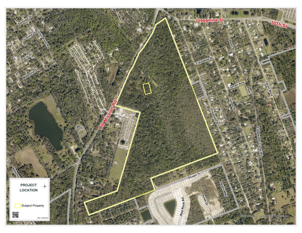 Satellite · city outline
Expand for details44 records · 8 vote records · map & project info
Timeline and votes
Decisions & project history
Newest firstEdgewater Development Services · Project update
Oakwood Cove: city report update
Record details & sources
The city listed this proposal as inactive.
Edgewater City Council · Decision
Development agreement revoked · RV-2601
Motion approved 5–0Individual votes
Diezel DePew YESCharlotte Gillis YESMike Thomas YESDebbie Dolbow YESEric Rainbird YESRecord details & sources
Public record · Documented milestone
Final noncompliance notice sent
Record details & sources
Original letter is dated August 24; the attachment label says August 20. It cites failure to commence qualifying utility construction by July 5, 2018.
Official source ↗Public record · Documented milestone
Committee packet identifies stormwater alternative for site
Record details & sources
The Turnbull Creek–Old Mission Regional Resilience Corridor Whitepaper, Draft 8, in the committee packet identifies Oakwood Cove parcel 734406060010 as a potential regional retention and treatment site and recommends evaluating acquisition/planning funding. This is a draft planning alternative, not evidence of purchase or construction authorization.
Official source ↗Edgewater Planning and Zoning Board · Recommendation
Board approves revocation recommendation · RV-2601
Motion approved 5–0Individual votes
Thomas Duane YESPatrick Fisher ABSENTJames McGinnis YESGeorge Kennedy ABSENTRobert Andrejkovics YESChris Hatcher YESDwight Cunningham YESRecord details & sources
Public record · Documented milestone
City sends intent-to-revoke notice
Record details & sources
Certified notice described in staff history.
Official source ↗Public record · Documented milestone
State rejects the permit-change application for missing information
Record details & sources
The state rejected application 96539-5 because requested information was not submitted. The decision, SJR 2026-031, allows a new application. It came before the city cancelled the development agreement in September.
Official source ↗Public record · Documented milestone
State recommends administrative denial
Record details & sources
Staff reports missing responses and sends an intended-denial notice. A site review found no unauthorized construction commenced; this is the report’s statement at that time.
Official source ↗Public record · Documented milestone
Army Corps publishes wetlands application notice
Record details & sources
SAJ-2005-00100 names D.R. Horton as applicant for the 110.66-acre site. Proposed fill: 0.485 acres of forested wetlands and 0.564 acres of ditches; proposed mitigation: 0.56 freshwater forested credits. The notice identifies 49.341 wetland acres, pending state water-quality certification under 96539-5, and continuing historic-resource review. These are proposal-stage descriptions, not a permit issuance. Notice letter dated January 13; web publication January 14; comment expiration January 28.
Official source ↗Public record · Documented milestone
Last applicant submittal reported
Record details & sources
Date identified in RV-2601 staff history.
Official source ↗Edgewater City Council · Withdrawn request
Oak Leaf access replat request withdrawn
Record details & sources
The request to replat Oak Leaf Preserve Phase 1 lots 55 and 56 for secondary access to Oakwood Cove was withdrawn. No approval or individual vote is recorded.
No vote recorded.
Public record · Documented milestone
State requests missing application information
Record details & sources
The later staff report identifies an incomplete application and this Request for Additional Information; reminders followed in September and November 2025.
Official source ↗Public record · Documented milestone
State receives new modification application
Record details & sources
Date reported in the later administrative-denial staff report.
Official source ↗Public record · Documented milestone
Plans submitted
Record details & sources
Staff history records proposed map of lots, roads and shared areas and construction-plan receipt.
Official source ↗Public record · Documented milestone
State grants five-year construction extension
Record details & sources
96539-4 extends construction authorization to February 21, 2027. This older permit is distinct from the later denied modification application.
Official source ↗Edgewater City Council · Recorded motion
Reconsidered agreement fails on a tie
Motion failed 2–2
Individual votes
Mike Thomas NOChristine Power YESKimberly Yaney YESGary T. Conroy NORecord details & sources
The motion to approve the development agreement failed 2–2. The four named votes below are the complete list returned for this motion; no fifth vote is inferred.
Edgewater City Council · Recorded motion
Preliminary lot map approved
Motion approved 5–0
Individual votes
Mike Thomas YESChristine Power YESKimberly Yaney YESMegan O'Keefe YESGary T. Conroy YESRecord details & sources
Council approved SD-2001, the proposed map of lots, roads and shared areas. This was a lot-layout decision, separate from approval of the amended development agreement.
Edgewater City Council · Recorded motion
Council agrees to reconsider the agreement
Motion approved 5–0
Individual votes
Mike Thomas YESChristine Power YESKimberly Yaney YESMegan O'Keefe YESGary T. Conroy YESRecord details & sources
Council agreed to reconsider the development agreement at its July 6 meeting. The vote scheduled reconsideration; it did not approve the agreement.
Edgewater Planning and Zoning Board · Recorded motion
Board recommends preliminary lot map
Motion approved 7–0
Individual votes
George Kennedy YESRobert Andrejkovics YESPaul Wright YESThomas Duane YESBurton Maroney YESAlbert Amalfitano YESEric Rainbird YESRecord details & sources
The Planning and Zoning Board recommended the proposed map of lots, roads and shared areas to City Council. This was a recommendation, separate from the development agreement.
Edgewater City Council · Recorded motion
Motion to amend agreement fails
Motion failed 2–3
Individual votes
Mike Thomas NOChristine Power YESKimberly Yaney NOMegan O'Keefe YESGary T. Conroy NORecord details & sources
The approval motion failed 2–3. The minutes also record a requested second-entrance change that the mover did not accept.
Recorded agreement · Record
Amended development agreement recorded
Historical recordRecord details & sources
Public record · Documented milestone
State authorizes redesigned stormwater system
Record details & sources
96539-3 covers the redesigned 110-acre, 110-lot project with five wet-detention ponds. The technical report describes mobile-home lots; city records describe single-family use, so agency descriptions remain attributed.
Official source ↗Public record · Documented milestone
District requests conservation-description corrections
Record details & sources
District survey correspondence says preservation-area legal descriptions contain errors and require correction before easement recording approval. The attachments contain differing closure labels; no final corrected/recorded outcome is inferred.
Official source ↗Edgewater City Council · Recorded motion
Development agreement amendment approved
Motion approved 5–0
Individual votes
Mike Ignasiak YESChristine Power YESAmy Vogt YESDan Blazi YESGary T. Conroy YESRecord details & sources
Council approved amending and restating the Oakwood Cove development agreement. This earlier approval predates the 2026 revocation.
Public record · Documented milestone
Later historic review finds effects unlikely
Record details & sources
Florida Division of Historical Resources list-letter review 2015-5481 includes Oakwood Cove 96539-3 and concludes historic properties are unlikely to be affected, with inadvertent-discovery conditions. The letter does not explain or document completion of the earlier requested surveys.
Official source ↗Public record · Documented milestone
District warns application will be withdrawn
Record details & sources
District letter says it has received no Request for Additional Information response and will consider 96539-2 withdrawn if no response arrives within 14 days. It says withdrawal is being considered instead of administrative denial. Do not label the index's later date as permit issuance.
Official source ↗Public record · Documented milestone
State sends intended-denial notice
Record details & sources
The District's county-interested-person notice recommends administrative denial of application 96539-2. This is an intended decision, not proof of a final denial.
Official source ↗Public record · Documented milestone
Historic agency requests cultural-resource survey
Record details & sources
Florida Division of Historical Resources review 2013-04719 requests a professional survey before ground disturbance for the modification application. This remains an agency request for that proposal, not a verified finding of damage.
Official source ↗Public record · Documented milestone
Earlier state modification application submitted
Record details & sources
The November 2014 District letter reports this application date and a December 18, 2013 Request for Additional Information. Later history says this modification was never issued.
Official source ↗Public record · Documented milestone
Original ordinance and agreement recorded
Record details & sources
Instrument 2009-031165, Book 6324, pages 4423–4450. Original city-file copy reviewed.
Official source ↗Public record · Documented milestone
Original planned unit development agreement approved
Record details & sources
Recorded Ordinance 2008-O-13 adoption page confirms January 5, 2009 adoption, agenda item 7b. Original recorded copy reviewed.
Official source ↗Public record · Documented milestone
Council considers original rezoning on first review of the proposed law
Record details & sources
Hearing date identified in recorded ordinance; no first-reading roll call inferred.
Official source ↗Public record · Documented milestone
Planning board recommends original rezoning, 5–0
Record details & sources
Original recorded Ordinance 2008-O-13 states this recommendation; individual names not provided in reviewed pages.
Official source ↗Public record · Documented milestone
Vested-rights determination recorded in later agreement
Record details & sources
The recorded 2017 agreement identifies this Council determination.
Official source ↗Public record · Documented milestone
Executed consent order rendered
Record details & sources
F.O.R. 2005-125 requires a $6,199 settlement plus $358.08 costs, totaling $6,557.08 due within ten days. The signature page confirms November 9 rendition after November 8 District execution. This is evidence of the final order; payment and later satisfaction are not established.
Official source ↗Public record · Documented milestone
Original state construction permit issued
Record details & sources
Permit 4-127-96539-1 authorized a 100-acre, 136-lot rental mobile-home version with seven wet-detention ponds. This historical version is separate from later single-family plans.
Official source ↗Public record · Documented milestone
District transmits draft consent order
Record details & sources
The compliance letter transmits a final draft to settle a reported District-rule violation, referencing F.O.R. 2005-125. It requests signed originals and describes a planned November agenda. This letter alone does not prove final rendition, payment or closure.
Official source ↗Public record · Documented milestone
Historic agency recommends archaeological survey
Record details & sources
Florida Division of Historical Resources review 2004-12817 for the earlier Mission Road Mobile Home Park version recommends professional archaeological/historical investigation. Absence of recorded sites is not a finding that none exist.
Official source ↗Public record · Documented milestone
District confirms unauthorized activity has ceased
Record details & sources
The executed order records a site meeting, acknowledgment of pre-permit clearing and the District's determination that unauthorized activities had ceased at that time.
Official source ↗Public record · Documented milestone
District orders unauthorized activity stopped
Record details & sources
The certified letter appended to the executed order reports clearing, including wetland work, before permit approval and directs the applicant to cease unauthorized activity.
Official source ↗Public record · Documented milestone
Original state application submitted
Record details & sources
The executed consent order records an application for a 134-lot mobile-home version. This proposed count differs from the later 136-lot issued permit.
Official source ↗Public record · Documented milestone
County stop-work order reported
Record details & sources
The executed consent order says Volusia County issued a stop-work order on or about this date because the work exceeded the previously authorized scope.
Official source ↗Public record · Documented milestone
County allows limited downed-tree removal
Record details & sources
The later executed consent order records verbal county permission to remove downed trees. This was not subdivision construction approval.
Official source ↗Public record · Documented milestone
Earlier formal wetland determination issued
Record details & sources
The 2005 staff report references determination 16-127-89920-1. This date is retrospective.
Official source ↗
Photos and map
Photos & map

Project facts and sources
Project information & sources
- Approvals & permits
Development agreement revoked · Sep 2026.
- Size & completion
Planned / reported: 110 reported homes
Cleared to live in: Not confirmed.
Homes sold: Not confirmed.
Reported project scope. A complete city list of homes cleared to live in is not confirmed.
Full completion unconfirmed.
- Things to know
Parcel 7344-06-06-0010 · about 110.66 acres. City Council approved revoking the development agreement on September 14, 2026. The 110-home figure is a historical proposal count.
- Sources
Sources checked: Oct 25, 2026
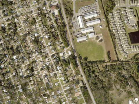 Satellite · reference point
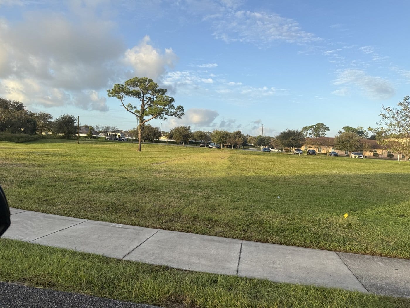 Photo
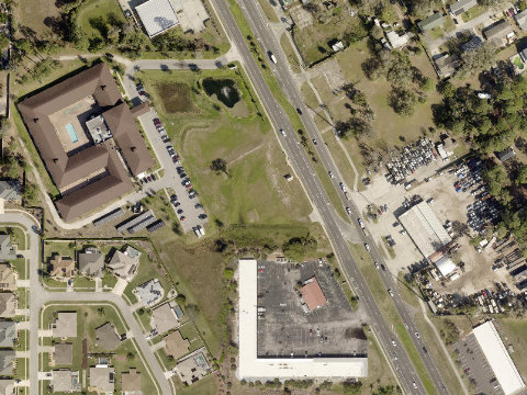 Satellite · reference point
Expand for details8 records · 2 photos · map & project info
Timeline and votes
Decisions & project history
Newest firstEdgewater Development Services · Project update
City lists the storage-plan review as withdrawn
Record details & sources
The 2025 report says the site-plan review was withdrawn. It is not listed in the newer table; its present status is not confirmed by those reports.
Edgewater Development Services · Report snapshot
Temporary tanker-storage proposal is under review
Record details & sources
The city lists the storage proposal at 2018 S. Ridgewood Avenue under review, with Stephanie Guzman as the contact. The September table later lists withdrawal.
Volusia County Property Appraiser · Land-history index
County index lists an earlier warranty-deed entry
Record details & sources
The county index for reference parcel 840239000041, alternate key 8026228, at 2018 S Ridgewood Avenue in Edgewater lists a warranty deed under sale date 2017-06-26, book/page 7416/0309, instrument 2017126448, with $425,000 and qualified classification. The entry is marked Improved, although the current reference parcel is classified vacant commercial. This is indexed earlier land history, not an independently reviewed deed or verified closing date; amounts are not assigned as the purchase price or cost of today’s tanker-storage site, and the index is not a complete title chain. Original county parcel sales index · Edgewater reference address ↗
Edgewater City Council · Earlier site zoning
Council records second-reading BPUD approval for the earlier site
Approved on second reading · action history records PassRecord details & sources
The original city record for Ordinance 2017-O-10 records approval on second reading for BPUD zoning and the associated agreement covering the larger 9.09-acre site including 2010 and 2018 S Ridgewood Avenue. The action history names Dan Blazi as mover and Christine Power as seconder; individual roll-call votes are not established by that history. The council record’s header still says Agenda Ready with a blank final-action field, while its dated action history records Pass. This is earlier land-use history for the adult-care/mixed-use proposal, not approval of temporary LP-gas tanker storage or evidence of its construction. Original ordinance case and dated council action history ↗ · Official council action history ↗
Edgewater City Council · Earlier site zoning
Council records first-reading BPUD approval for the earlier site
Approved on first reading · action history records PassRecord details & sources
The original city record for Ordinance 2017-O-10 records approval on first reading for BPUD zoning and the associated agreement covering the larger 9.09-acre site including 2010 and 2018 S Ridgewood Avenue. The action history names Dan Blazi as mover and Christine Power as seconder; individual roll-call votes are not established by that history. The council record’s header still says Agenda Ready with a blank final-action field, while its dated action history records Pass. This is earlier land-use history for the adult-care/mixed-use proposal, not approval of temporary LP-gas tanker storage or evidence of its construction. Original ordinance case and dated council action history ↗ · Official council action history ↗
Edgewater Planning and Zoning Board · Earlier site zoning
Board recommends BPUD zoning for the larger predecessor site
Favorable recommendation 6–0Who voted? · expressly recorded in the dated minutes
George Kennedy YESRobert McIntosh YESPat Card YESRobert Andrejkovics YESDavid Tyree YESMichael Eichhorn YESRecord details & sources
For RZ-1701, the board recommended BPUD zoning and its agreement for a larger 9.09-acre site including both 2010 and 2018 S Ridgewood Avenue. The earlier proposal concerned an adult living facility and related uses, not LP-gas storage. Robert Andrejkovics moved approval of the recommendation and David Tyree seconded. George Kennedy, Robert McIntosh, Pat Card, Robert Andrejkovics, David Tyree and Michael Eichhorn voted yes; Paul Wright was excused. The 6–0 recommendation was not final council action or a permit for the later tanker proposal. Original March 8, 2017 minutes · RZ-1701, PDF pages 4–5 ↗
Volusia County Property Appraiser · Land-history index
County index lists an earlier warranty-deed entry
Record details & sources
The county index for reference parcel 840239000041, alternate key 8026228, at 2018 S Ridgewood Avenue in Edgewater lists a warranty deed under sale date 1990-06-15, book/page 3483/1834, instrument 1990076445, with $180,000 and unqualified classification. The entry is marked Improved, although the current reference parcel is classified vacant commercial. This is indexed earlier land history, not an independently reviewed deed or verified closing date; amounts are not assigned as the purchase price or cost of today’s tanker-storage site, and the index is not a complete title chain. Original county parcel sales index · Edgewater reference address ↗
Volusia County Property Appraiser · Land-history index
County index lists an earlier warranty-deed entry
Record details & sources
The county index for reference parcel 840239000041, alternate key 8026228, at 2018 S Ridgewood Avenue in Edgewater lists a warranty deed under sale date 1978-09-15, book/page 2016/1572, with $15,000 and unqualified classification. The entry is marked Improved, although the current reference parcel is classified vacant commercial. This is indexed earlier land history, not an independently reviewed deed or verified closing date; amounts are not assigned as the purchase price or cost of today’s tanker-storage site, and the index is not a complete title chain. Original county parcel sales index · Edgewater reference address ↗
Photos and map
Photos & map


Project facts and sources
Project information & sources
- People & companies
County-listed reference-parcel owner: Brilliance Edgewater LLC · City report contact: Stephanie Guzman · Tanker operator and construction contractor unconfirmed County reference parcel ↗
- Approvals & permits
The city’s September 2025 report records the temporary tanker-storage site-plan review as withdrawn. Earlier site zoning and land records do not establish a later revived application or storage authorization. Earlier zoning case and action history ↗
- Size & completion
Project size: See the scope in What’s planned.
Completion: The temporary-storage application was listed as withdrawn in September 2025. Earlier BPUD land-use approvals do not establish permission for this tanker-storage use or installation of a tanker.
The county appraiser lists Brilliance Edgewater LLC as 100% fee-simple owner of reference parcel 840239000041, alternate key 8026228, at 2018 S Ridgewood Avenue in Edgewater. The legal description refers to Parcel B in book 8558/page 2414. Historical entries marked Improved describe earlier indexed land, not a verified building on the present vacant-commercial reference parcel or a cost allocated to the withdrawn tanker proposal. The actual deeds, parcel-split history and precise storage-work boundary remain unreconciled. County exact reference parcel ↗
- Things to know
The supplied photos provide context for the city-reported address and do not establish tanker installation or legal ownership. The city’s recorded withdrawal remains the latest confirmed application outcome.
The temporary LP-gas storage proposal at 2018 S. Ridgewood Avenue was under review in June 2025 and listed as withdrawn in September. It is absent from the September 2026 project table.
The 2017 BPUD case concerned a larger 9.09-acre adult-care/mixed-use site that included 2010 and 2018 S Ridgewood Avenue. The board recommended it March 8 and the council action history records approvals April 3 and May 1. That earlier zoning history is separate from the later temporary LP-gas storage application. It does not establish permission to store a tanker, its operator, or any change to the city’s September 2025 report of withdrawal. Earlier 2017 BPUD case ↗
- What happens next
The recorded application was withdrawn.
- Sources
Sources checked: Oct 23, 2026
Additional original records checked November 10, 2026. Historical predecessor scopes, issued and pending sequences, named roles, dated funding actions and ownership records remain separate facts; full lifecycle and construction completion remain unconfirmed.
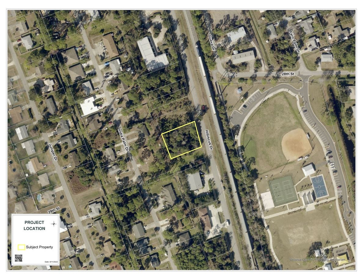 Satellite · city outline
Expand for details5 records · 1 vote record · map & project info
Timeline and votes
Decisions & project history
Newest firstEdgewater Development Services · Project update
2830 Hibiscus Warehouse: city report update
Record details & sources
The report lists an older building permit as expired. Any later extension or replacement is not established by this snapshot.
Edgewater city report · Recorded milestone
Building permit expiration recorded
Record details & sources
The city report lists permit 25-203 as expired on this date. A later renewal has not been confirmed.
Official city report · page 8Edgewater city report · Recorded milestone
Building permit issued
Record details & sources
The city report records issuance of permit 25-203.
Official city report · page 8Edgewater city report · Recorded milestone
Technical Review Committee approval recorded
Record details & sources
The city report records approval of the 4,800-square-foot warehouse. It does not include individual ballots.
Official city report · page 8Edgewater Planning and Zoning Board · Decision
Landscape-buffer variance approved · VA-2314
Motion approved 6–0Individual votes
George Kennedy YESRobert Andrejkovics YESThomas Duane YESAlbert Amalfitano ABSENTEric Rainbird YESPaul Wright YESChris Hatcher YESRecord details & sources
Photos and map
Photos & map

Project facts and sources
Project information & sources
- People & companies
The site drawing filed with VA-2314 identifies Kimley-Horn and Associates Inc. as designer. A design-firm credit does not establish the landowner or awarded construction contractor. Filed site drawing ↗
- Approvals & permits
Building permit expired September 6, 2025, per September 2026 report.
- Size & completion
Project size: 4,800-square-foot warehouse described in the city report.
Completion: The September 2026 city report says the building permit expired September 6, 2025. A later extension, replacement permit or occupancy approval is not established by that snapshot.
- Things to know
VA-2314 concerns the landscape buffer requirement for this warehouse site. A variance approval is a specific design exception, separate from a building permit.
4,800 square foot Warehouse. The report lists an older building permit as expired. Any later extension or replacement is not established by this snapshot.
The filed drawing identifies about 0.44 acre, or 19,166 square feet, for the proposed warehouse site. It shows five parking spaces, including one accessible space, access from Hibiscus Drive and a stormwater-management area behind the building. These are proposed drawing details, not confirmation that the parking or drainage was built. Filed site layout ↗
VA-2314 requested a 30-foot Class C landscape buffer without the usual masonry wall, offering more intensive planting. The staff narrative describes a 15-foot rear alley and a total 50-foot separation to the neighboring residential property. Its staff recommendation and the separately recorded final board vote remain distinct. Original variance details ↗
- Sources
Sources checked: Oct 23, 2026
Additional original designer, site area, parking, drainage and landscape-buffer details checked November 15, 2026 in the filed VA-2314 drawing and staff narrative.
 Satellite · reference point
Expand for details5 records · map & project info
Timeline and votes
Decisions & project history
Newest firstEdgewater Development Services · Project update
McCartney’s Warehouse: city report update
Record details & sources
The project appeared in the September 2025 city report. It is not listed in the newer table; its present status is not confirmed by those reports.
Edgewater city report · Approval expiration
Development order expiration recorded
Record details & sources
The September 2025 report lists this expiration and no building permit. A later extension or permit has not been confirmed.
Official source ↗Edgewater Technical Review Committee · Approval
Office and warehouse plan approved
Record details & sources
The report records committee approval for the 6,000-square-foot project at 201 and 205 West Park Avenue.
Official source ↗Volusia County Clerk · Recorded original deed
Warranty deed to Citrus Real Estate Holdings recorded
Record details & sources
A Warranty Deed made and recorded April 12, 2019 names Bradley Kayholm as grantor and Citrus Real Estate Holdings, LLC as grantee. The record is instrument 2019072248, book 7681/page 72. Its transfer stamp says $195,904.27; the county appraiser indexes $196,000 as a qualified sale. Both source amounts are retained separately. The appraiser currently links parcel 745201000348, alternate key 3894758, to 201 West Park Avenue and lists Citrus Real Estate Holdings LLC as owner. This transaction does not establish the status of the later 6,000- or 8,000-square-foot proposals. Clerk instrument 2019072248 · public online copy ↗ · County parcel and transaction index · 201 West Park ↗
Volusia County Clerk · Recorded original deed
Earlier deed for the 201 West Park parcel recorded
Record details & sources
A Corporate Warranty Deed dated February 21, 2017 names Grace-Scott Properties, LLC as grantor and Bradley Kayholm as grantee for parcel 745201000348. It was recorded March 8 at book 7369/page 4517, instrument 2017046365, with a $185,000 transfer stamp. The appraiser indexes February 21 as a qualified transaction. This identifies land history for the 201 West Park parcel; it does not independently establish ownership of 205 West Park or approval of either later development proposal. Clerk instrument 2017046365 · public online copy ↗ · County parcel and transaction index · 201 West Park ↗
Photos and map
Photos & map
Project facts and sources
Project information & sources
- People & companies
201 W. Park parcel owner: Citrus Real Estate Holdings LLC · Construction contractor unconfirmed Original recorded deed / exact reference parcel ↗ · Earlier dated city report ↗ · Earlier dated city report ↗
The county appraiser lists Citrus Real Estate Holdings LLC as owner of parcel 745201000348, alternate key 3894758, at 201 West Park Avenue. The reviewed April 12, 2019 deed names that company as grantee from Bradley Kayholm; the preceding reviewed 2017 deed names Kayholm as grantee from Grace-Scott Properties, LLC. Earlier indexed entries exist but their originals have not been reviewed, and ownership of the separately reported 205 West Park address has not been reconciled. The older 6,000-square-foot plan and newer 8,000-square-foot review remain distinct. Original recorded deed / exact reference parcel ↗ · County parcel and transaction index · 201 West Park ↗ · County parcel and transaction index · 201 West Park ↗
- Approvals & permits
2023 approval and 2024 order expiration recorded; later renewal remains unconfirmed.
- Size & completion
Project size: 6,000-square-foot office and warehouse listed in the September 2025 city report.
Completion: See the dated approvals and project history.
- Things to know
The county appraiser lists Citrus Real Estate Holdings LLC as owner of parcel 745201000348, alternate key 3894758, at 201 West Park Avenue. The reviewed April 12, 2019 deed names that company as grantee from Bradley Kayholm; the preceding reviewed 2017 deed names Kayholm as grantee from Grace-Scott Properties, LLC. Earlier indexed entries exist but their originals have not been reviewed, and ownership of the separately reported 205 West Park address has not been reconciled. The older 6,000-square-foot plan and newer 8,000-square-foot review remain distinct. Original recorded deed / exact reference parcel ↗ · County parcel and transaction index · 201 West Park ↗ · County parcel and transaction index · 201 West Park ↗
- Sources
Sources checked: Oct 23, 2026
Additional original records checked November 10, 2026. Historical predecessor scopes, issued and pending sequences, named roles, dated funding actions and ownership records remain separate facts; full lifecycle and construction completion remain unconfirmed.
 Satellite · reference point
Expand for details4 records · 2 vote records · map & project info
Timeline and votes
Decisions & project history
Newest firstEdgewater Development Services · Project update
Alcantara: city report update
Record details & sources
Previously approved, but listed as inactive without an early lot-layout submission.
Edgewater City Council · Recorded motion
Council again records rezoning approval in July
Named vote 5–0
Individual votes
Diezel DePew YESCharlotte Gillis YESGigi Bennington YESDebbie Dolbow YESJonah Powers YESRecord details & sources
The July 1 minutes again record unanimous approval of 2024-O-22 and label it a second review of the proposed law. Both dated actions are retained; no effective date is inferred.
Edgewater City Council · Recorded motion
Council records a June rezoning approval
Named vote 5–0
Individual votes
Diezel DePew YESCharlotte Gillis YESGigi Bennington YESDebbie Dolbow YESJonah Powers YESRecord details & sources
The June 3 minutes record unanimous approval of 2024-O-22 and label the item a second review of the proposed law. A separate approval also appears in the July 1 minutes.
Edgewater Planning and Zoning Board · Recommendation
Planning board supports changing the rules to allow duplexes
Record details & sources
The staff report says the board recommended approval by 6–0, with one member absent, but does not identify individual votes. Council minutes later list approvals on both June 3 and July 1, each described as a second review. The date the change legally took effect remains unconfirmed.
Official source ↗
Photos and map
Photos & map
Project facts and sources
Project information & sources
- People & companies
The original 2024 rezoning staff report names Leon Alcantara as owner. The case requested a change from county R-3 zoning to a city Residential Planned Unit Development. Original rezoning staff report ↗
- Approvals & permits
Inactive; no early lot layout submitted (September 2026 report).
- Size & completion
Planned / reported: 18 reported homes
Cleared to live in: Not confirmed.
Homes sold: Not confirmed.
Reported project scope. A complete city list of homes cleared to live in is not confirmed.
Full completion unconfirmed.
- Things to know
18 reported homes. Previously approved, but listed as inactive without an early lot-layout submission.
The agreement standards in the staff report call for at least 4,687.5 square feet per subdivided duplex unit, 37.5 feet of width and 125 feet of lot depth. The 18 units shown on the concept and the separately stated 20-unit agreement allowance remain distinct.
The staff report describes adequate city water and municipal waste capacity and required a school-capacity letter before council adoption. These are the application’s reported service and review requirements; they do not establish installed infrastructure or occupancy. Original application standards ↗
- Sources
Sources checked: Oct 23, 2026
Additional filed owner, lot standards and service requirements checked in the original 2024-O-22 staff report November 15, 2026.
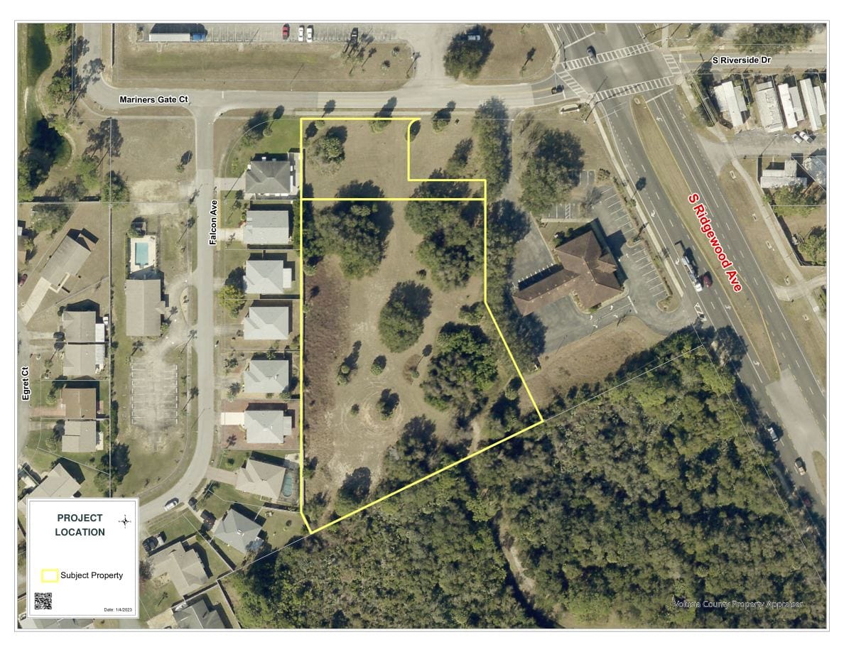 Satellite · city outline
Expand for details7 records · 3 vote records · map & project info
Timeline and votes
Decisions & project history
Newest firstEdgewater city report · Recorded milestone
Development order issued
Record details & sources
The September 2026 report records a development order expiring March 5, 2029. The report separately marks the project inactive.
Official city report · page 5Edgewater Development Services · Project update
Riverside Villas: city report update
Record details & sources
A development order is recorded, but the report lists this project as inactive.
Edgewater City Council · Decision
Revised agreement and early lot layout approved
ApprovedRecord details & sources
Edgewater City Council · Decision
Agreement amendment postponed to April
Postponement approved 4–0Who voted?
Diezel DePew YESGigi Bennington YESDebbie Dolbow YESJonah Powers YESRecord details & sources
Edgewater City Council · Decision
Agreement amendment postponed to March
Postponement approved 4–0Who voted?
Diezel DePew YESCharlotte Gillis YESDebbie Dolbow YESJonah Powers YESRecord details & sources
Edgewater Planning and Zoning Board · Recommendation
Board recommends revised agreement and early lot layout
Recommendation approved 6–0Who voted?
Albert Amalfitano YESRobert Andrejkovics YESThomas Duane YESEric Rainbird YESPaul Wright YESChris Hatcher YESRecord details & sources
Edgewater Development Services · Historical report
Townhome proposal appears in earlier review
Record details & sources
The city lists 22 proposed Riverside Villas townhomes under review, before the revised agreement and lot layout.
Photos and map
Photos & map

Project facts and sources
Project information & sources
- People & companies
The ZA-2301 staff report names DPS Professional Solutions LLC as owner and Joseph Posey as the applicant for the agreement amendment. Original staff report ↗
- Approvals & permits
Inactive in September report; development order issued February 5, 2024.
- Size & completion
Planned / reported: 22 reported homes
Cleared to live in: Not confirmed.
Homes sold: Not confirmed.
Reported project scope. A complete city list of homes cleared to live in is not confirmed.
Full completion unconfirmed.
- Things to know
22 reported homes. A development order is recorded, but the report lists this project as inactive.
The filed agreement provides for 22 townhomes in three buildings, with at least 1,100 square feet of living area and a two-car garage for each home. Carports are not permitted. The planned interior roads are private and gated, with the entrance gate closed only between 6 p.m. and 6 a.m. and an emergency-access override. Filed agreement ↗
The filed covenant requirement prohibits individual-home rentals shorter than 30 days. The developer is responsible for internal roads, utilities, stormwater management and streetlights; off-site drainage requires a lawful easement or public right of way and prior written city approval. These are agreement requirements, not confirmation that the improvements or covenants have been completed.
- Sources
Sources checked: Oct 23, 2026
Earlier city-report history checked November 5, 2026. Report snapshots retain their stated dates and earlier phase counts; they do not establish current permits, occupancy or complete project history.
Additional original owner/applicant and filed agreement standards checked November 15, 2026.
 Satellite · reference point
Expand for details5 records · 2 vote records · map & project info
Timeline and votes
Decisions & project history
Newest firstEdgewater Development Services · Project update
Tamarack III: city report update
Record details & sources
Approved previously, but listed as inactive with no action underway.
Edgewater Planning and Zoning Board · Recommendation
Tamarack III: recommend major site plan for 165-unit age-55-plus mobile home park
Motion approved; named tally not reconciled.Record details & sources
The minutes record a favorable recommendation, but the roll-call table duplicates a name; no named tally is attributed.
Edgewater City Council · Decision
165-space age-55-plus site plan approved · SP-2103
Approved 4–1Who voted?
Diezel DePew NOCharlotte Gillis YESGigi Bennington YESDebbie Dolbow YESJonah Powers YESRecord details & sources
Edgewater Development Services · Historical report
Earlier inventory proposes 163 mobile homes
Record details & sources
The March report lists 163 proposed mobile homes. This dated count differs from the later 165-space site-plan approval.
City planning records · Historical report
Earlier mobile-home proposal in city review
Record details & sources
The June 2021 inventory lists Tamarack III under review with 163 proposed mobile homes, before the later 165-space site plan.
Photos and map
Photos & map
Project facts and sources
Project information & sources
- People & companies
The city-filed site-plan cover identifies Edgewater Waterfront Park LLC as developer and CPH Inc. as engineer. That plan lists 4401 South Ridgewood Avenue. These are drawing-specific roles, not confirmation of current ownership or an awarded building contract. Filed plan cover ↗
- Approvals & permits
Listed as inactive.
- Size & completion
Planned / reported: 163 reported homes
Cleared to live in: Not confirmed.
Homes sold: Not confirmed.
Reported project scope. A complete city list of homes cleared to live in is not confirmed.
Full completion unconfirmed.
- Things to know
SP-2103 proposed 165 age-restricted mobile-home spaces. The newer quarterly inventory lists 163. The source dates are retained; the count difference is not silently resolved.
163 reported homes. Approved previously, but listed as inactive with no action underway.
The 2023 site-plan staff report identifies parcel 853801000071 and roughly 42 acres. It describes 50-by-100-foot lots, a reported 35% open-space provision, 8.69 acres of stormwater ponds and 6.61 acres of other active and passive open space. The separate 165-space approval and 163-home inventory figures remain unchanged.
The report describes boat storage and a bar as private accessory uses. It records a plan note prohibiting accessory structures within the 30-foot landscape-buffer open space. The recommended dock condition bars a dock building permit until city staff receives a copy of the Army Corps of Engineers permit. These are design and permit requirements, not a statement that the dock permit has since been obtained. Original site-plan conditions ↗
- Sources
Sources checked: Oct 23, 2026
Earlier city-report history checked November 5, 2026. Report snapshots retain their stated dates and earlier phase counts; they do not establish current permits, occupancy or complete project history.
Additional original plan-listed parties, site dimensions, open-space and dock-condition details checked November 15, 2026.
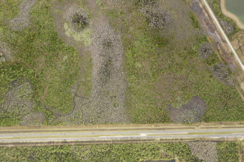 Satellite · reference point
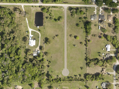 Satellite · application area
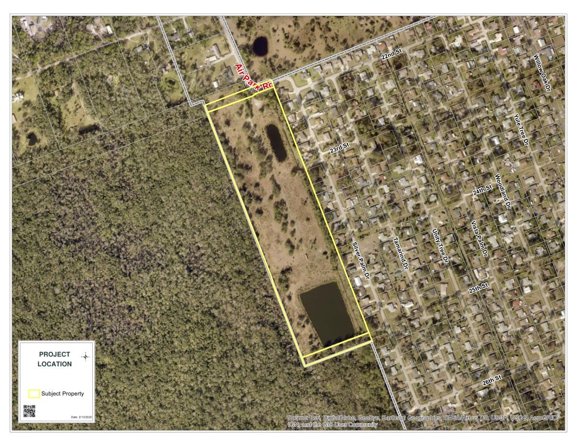 Satellite · city outline
Expand for details28 records · 8 vote records · map & project info
Timeline and votes
Decisions & project history
Newest firstOriginal public record
1 additional occupancy certificates listed for 2025-10
Record details & sources
The city certificate table lists 2220 ELEGANT MANOR CIR. — 10/17/2025, permit 24-2772. These are individual occupancy records, not a verified business opening, sale or completion of the whole development. Incomplete parcel fields have not been reconstructed.
Edgewater Development Services · Project update
Elegant Manor Estates: city report update
Record details & sources
In September 2025, the city listed an approved final lot map and construction underway. The project is absent from the newer table; that alone does not establish completion or cancellation.
Edgewater Building Department · Occupancy
Two Elegant Manor homes receive occupancy certificates
Record details & sources
The table lists 2229 Elegant Manor Circle (24-1865) and 2235 Elegant Manor Circle (24-1866).
Official source ↗Edgewater Building Department · Occupancy
One Elegant Manor home receives occupancy certificate
Record details & sources
The table lists 2231 Elegant Manor Circle, permit 24-1320.
Official source ↗Edgewater Building Department · Occupancy
One Elegant Manor home receives occupancy certificate
Record details & sources
The table lists 2212 Elegant Manor Circle, permit 25-1163.
Official source ↗Edgewater Building Department · Occupancy
Two Elegant Manor homes receive occupancy certificates
Record details & sources
The table lists 2221 Elegant Manor Circle (24-1863) and 2223 Elegant Manor Circle (24-1869).
Official source ↗Edgewater Building Department · Occupancy
One Elegant Manor home receives occupancy certificate
Record details & sources
The table lists 2224 Elegant Manor Circle, permit 25-425.
Official source ↗Edgewater Building Department · Occupancy
One Elegant Manor home receives occupancy certificate
Record details & sources
The table lists 2216 Elegant Manor Circle, permit 25-427. These entries establish individual homes, not full-neighborhood completion.
Official source ↗Edgewater Building Department · Occupancy
Earlier Elegant Manor home receives occupancy certificate
Record details & sources
The city lists an occupancy certificate for 2237 Elegant Manor Circle, permit 24-1317. This confirms one home rather than completion of the whole neighborhood.
Original public record
6 certificate rows documented for 2025-02
Record details & sources
The city’s January–March 2025 occupancy table lists 2240 ELEGANT MANOR CIR — 2/11/2025, permit 24-2636; 2215 ELEGANT MANOR CIR — 2/11/2025, permit 24-1470; 2238 ELEGANT MANOR CIR — 2/18/2025, permit 24-2629; 2234 ELEGANT MANOR CIR — 2/18/2025, permit 24-2675; 2232 ELEGANT MANOR CIR — 2/18/2025, permit 24-2628; 2225 ELEGANT MANOR CIR. — 2/26/2025, permit 24-1864. These are additional detailed source rows, not necessarily new homes beyond earlier reported minimums. These entries may overlap earlier counts and are not added to them. The source’s repeated January heading includes explicitly dated February and March rows.
Original public record
7 certificate rows documented for 2024-12
Record details & sources
The city’s scanned certificate table lists 2228 ELEGANT MANOR CIR. — 12/13/2024, permit 24-2152; 2217 ELEGANT MANOR CIR. — 12/13/2024, permit 24-1781; 2222 ELEGANT MANOR CIR. — 12/16/2024, permit 24-2075; 2226 ELEGANT MANOR CIR. — 12/16/2024, permit 24-2355; 2236 ELEGANT MANOR CIR. — 12/16/2024, permit 24-2258; 2218 ELEGANT MANOR CIR. — 12/19/2024, permit 24-2188; 2933 MANGO TREE DR. — 12/20/2024, permit 24-2123. Dates and permit references were checked against the page images. These detailed certificate records are not necessarily additional homes beyond earlier counts. These entries may overlap earlier counts and are not added to them. The neighborhood label does not independently establish a subdivision phase.
Original public record
3 certificate rows documented for 2024-11
Record details & sources
The city’s scanned certificate table lists 2286 ELEGANT MANOR CIR — 11/4/2024, permit 24-1613; 2272 ELEGANT MANOR CIR — 11/14/2024, permit 24-1744; 2290 ELEGANT MANOR CIR — 11/14/2024, permit 24-1751. Dates and permit references were checked against the page images. These detailed certificate records are not necessarily additional homes beyond earlier counts. These entries may overlap earlier counts and are not added to them. The neighborhood label does not independently establish a subdivision phase.
Original public record
5 certificate rows documented for 2024-10
Record details & sources
The city’s scanned certificate table lists 2282 ELEGANT MANOR CIR. — 10/14/2024, permit 24-898; 2227 ELEGANT MANOR CIR. — 10/16/2024, permit 24-1305; 2247 ELEGANT MANOR CIR. — 10/23/2024, permit 23-2762; 2213 ELEGANT MANOR CIR. — 10/24/2024, permit 23-1120; 2276 ELEGANT MANOR CIR. — 10/24/2024, permit 24-1468. Dates and permit references were checked against the page images. These detailed certificate records are not necessarily additional homes beyond earlier counts. These entries may overlap earlier counts and are not added to them. The neighborhood label does not independently establish a subdivision phase.
Edgewater Development Services · Occupancy report
3 homes cleared for occupancy
Record details & sources
Edgewater listed these addresses in its occupancy certificate report.
2230 ELEGANT MANOR CIR. · 3/4/2024 · permit 23-3037
2268 ELEGANT MANOR CIR. · 3/19/2024 · permit 23-3074
2233 ELEGANT MANOR CIR. · 3/19/2024 · permit 23-3031Edgewater Development Services · Occupancy report
2 homes cleared for occupancy
Record details & sources
Edgewater listed these addresses in its occupancy certificate report.
2219 ELEGANT MANOR CIR. · 2/7/2024 · permit 23-2701
2241 ELEGANT MANOR CIR. · 2/7/2024 · permit 23-2703Edgewater Development Services · Occupancy report
1 home cleared for occupancy
Record details & sources
Edgewater listed these addresses in its occupancy certificate report.
2278 ELEGANT MANOR CIR. · 1/18/2024 · permit 23-2787
City planning records · Historical report
City reports a neighborhood completion certificate
Record details & sources
The June report dates a certificate of completion to June 13, 2023. This project-level certificate is distinct from individual home occupancy certificates and does not establish all 54 homes finished.
Edgewater City Council · Recorded motion
Final lot map approved
Motion approved 4–0
Individual votes
Diezel DePew YESCharlotte Gillis YESGigi Bennington EXCUSEDDebbie Dolbow YESJonah Powers YESRecord details & sources
Council approved FP-2203, the final map of lots, roads and shared areas. A plat approval does not establish that every home was completed.
Edgewater Planning and Zoning Board · Recorded motion
Board recommends final lot map
Motion approved 6–0
Individual votes
Albert Amalfitano YESRobert Andrejkovics YESThomas Duane YESGeorge Kennedy EXCUSEDEric Rainbird YESPaul Wright YESChris Hatcher YESRecord details & sources
The board recommended FP-2203, the final map of lots, roads and shared areas, to City Council.
Edgewater City Council · Recorded motion
Council denies removal of a historic live oak
Motion to deny the permit approved 5–0
Individual votes
Diezel DePew YESCharlotte Gillis YESGigi Bennington YESDebbie Dolbow YESJonah Powers YESRecord details & sources
Council approved a motion to deny a tree-removal permit for a 41-inch live oak on Lot 27, based on the required payment under section 21-311. YES below means support for denying the permit; this record does not establish the tree’s present condition.
Edgewater City Council · Recorded motion
Additional construction-inspection purchase order approved
Motion approved 5–0
Individual votes
Mike Thomas YESChristine Power YESGigi Bennington YESDebbie Dolbow YESJonah Powers YESRecord details & sources
Council approved the consent-agenda item increasing the purchase order for subdivision construction inspections. This was an inspection-services decision, separate from a plat approval.
Edgewater Development Services · Historical report
Development order issued for the neighborhood
Record details & sources
The city reports a development order for Elegant Manor’s 54-home plan. This is separate from later final-lot-map approval and individual occupancy certificates.
Edgewater City Council · Recorded motion
Preliminary lot map approved
Motion approved 5–0
Individual votes
Mike Thomas YESMegan O'Keefe YESGigi Bennington YESJonah Powers YESChristine Power YESRecord details & sources
Council approved the Elegant Manor Estates proposed map of lots, roads and shared areas, SD-2002.
Edgewater Planning and Zoning Board · Recorded motion
Board recommends preliminary lot map
Motion approved 5–0
Individual votes
George Kennedy EXCUSEDRobert Andrejkovics YESPaul Wright YESThomas Duane YESBurton Maroney YESAlbert Amalfitano ABSENTEric Rainbird YESRecord details & sources
The board recommended SD-2002, the proposed map of lots, roads and shared areas, to City Council.
City planning records · Historical report
Earlier construction plans under review
Record details & sources
The September 2020 report lists Elegant Manor’s 54-home lot layout and construction plans under review, before December’s preliminary-map approval.
Edgewater City Council · Decision
Development agreement amended to allow 54 lots · ZA-2002
Motion approved 5–0Individual votes
Mike Thomas YESChristine Power YESKimberly Yaney YESMegan O'Keefe YESGary T. Conroy YESRecord details & sources
Edgewater Planning and Zoning Board · Recorded motion
Board recommends the development agreement amendment
Motion approved 7–0
Individual votes
George Kennedy YESRobert Andrejkovics YESPaul Wright YESThomas Duane YESBurton Maroney YESAlbert Amalfitano YESEric Rainbird YESRecord details & sources
The Planning and Zoning Board recommended the Elegant Manor Estates agreement amendment to City Council.
Edgewater City Council · Decision
Original development agreement approved
Earlier approval documented in the 2020 staff reportRecord details & sources
Photos and map
Photos & map

Project facts and sources
Project information & sources
- People & companies
Maronda Homes names Elegant Manor Estates in its own community guide. City occupancy records establish individual homes; full-neighborhood completion remains unconfirmed.
- Approvals & permits
City certificate tables list at least 37 homes in the named neighborhood. Phase coverage and full completion remain unconfirmed.
- Size & completion
Planned / reported: 54 reported homes
Cleared to live in: At least 37 homes listed in city certificate tables
Homes sold: Not confirmed.
City occupancy tables identify 37 distinct home addresses from January 2024 through October 17, 2025. Repeated milestones and the separate 2023 neighborhood completion certificate are excluded. This is a documented minimum for the named neighborhood, not a complete inventory of all 54 reported homes.
Full completion unconfirmed.
- Things to know
The 27.69-acre development agreement was amended in 2020 to allow 54 single-family lots, up from 52. The dated aerial shows the subject property; it does not establish today’s construction status.
54 homes in the 2025 report. In September 2025, the city listed an approved final lot map and construction underway. The project is absent from the newer table; that alone does not establish completion or cancellation.
- Sources
Sources checked: Oct 23, 2026
- Maronda Homes · Elegant Manor community guide ↗
- Maronda Homes · Edgewater ↗
- Find this project on the city report map ↗
Earlier city-report history checked November 5, 2026. Report snapshots retain their stated dates and earlier phase counts; they do not establish current permits, occupancy or complete project history.
Original city applications and submission histories checked November 5, 2026. Case statuses and review dates are distinct from building permits and completed construction.
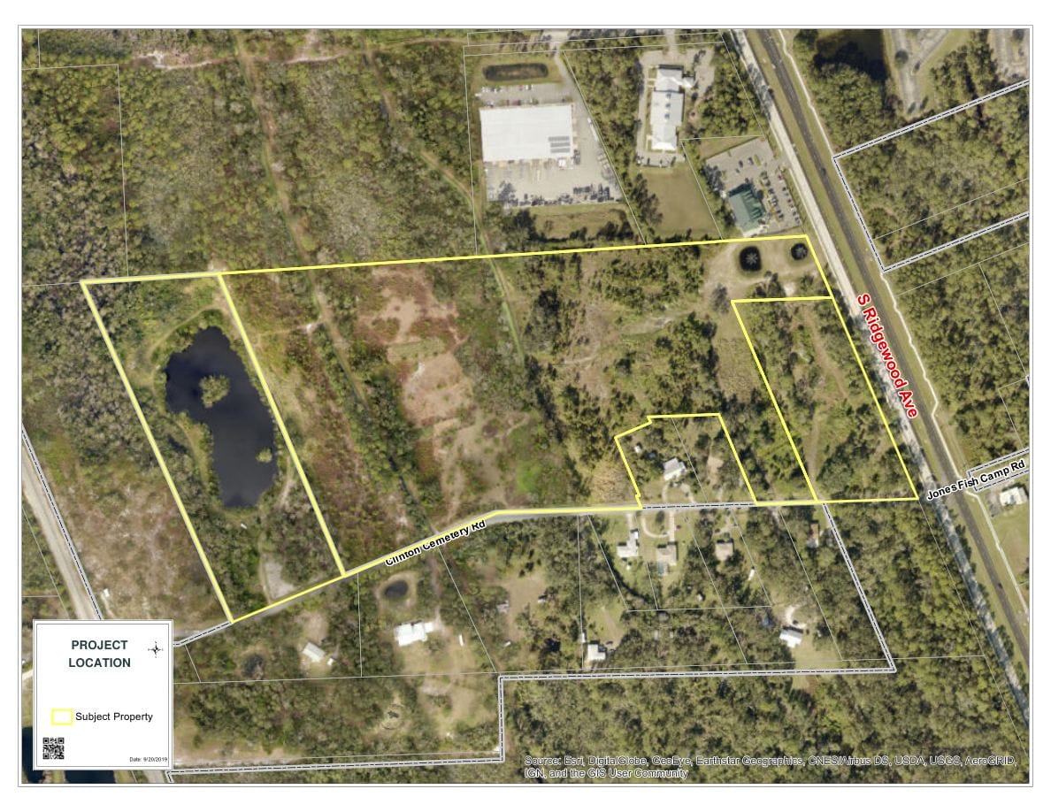 Satellite · city outline
Expand for details10 records · 3 vote records · map & project info
Timeline and votes
Decisions & project history
Newest firstEdgewater Development Services · Project update
Lakeview Estates: city report update
Record details & sources
In September 2025, the city listed an expired development agreement, an on-hold project and an amendment under review. The project is absent from the newer table; that alone does not establish completion or cancellation.
Edgewater Development Services · Historical report
Earlier plan expired and on hold
Record details & sources
The April 1 report lists the 109-home Lakeview Estates plan as expired and on hold. This describes its 2024 status.
City planning records · Historical report
Further staff meeting on changing the agreement
Record details & sources
The June report records another staff meeting about Lakeview Estates’ development-agreement amendment process.
Edgewater Development Services · Historical report
Agreement amendment returns to staff review
Record details & sources
The September report records another amendment-process meeting for the 109-home plan.
Edgewater Development Services · Historical report
Further staff meeting on the agreement amendment
Record details & sources
The June report records another meeting about amending Lakeview Estates’ development agreement.
Edgewater Development Services · Historical report
Staff discusses changing the development agreement
Record details & sources
The city records a staff-review meeting about the amendment process for Lakeview Estates.
Edgewater City Council · Decision
Lakeview Estates agreement and zoning ordinance adopted
Motion approved 5–0Individual votes
Mike Thomas YESChristine Power YESKimberly Yaney YESMegan O'Keefe YESGary T. Conroy YESRecord details & sources
Edgewater City Council · Decision
Lakeview Estates agreement and zoning ordinance advances at first review of the proposed law
Motion approved 5–0Individual votes
Mike Thomas YESChristine Power YESKimberly Yaney YESMegan O'Keefe YESGary T. Conroy YESRecord details & sources
Edgewater Planning and Zoning Board · Recommendation
Board recommends Lakeview Estates agreement
Motion approved 6–0Individual votes
George Kennedy YESRobert Andrejkovics YESChris Hatcher YESPaul Wright YESThomas Duane YESBurton Maroney YESRecord details & sources
Edgewater city staff · Public notice
Adjacent owners notified of Lakeview request
Record details & sources
The original staff report records adjacent-property-owner notification on September 13, 2019 for the Lakeview Estates zoning and agreement request. The later planning-board and council actions remain separate entries.
Photos and map
Photos & map

Project facts and sources
Project information & sources
- People & companies
The original 2019-O-19 staff report names Lakeview Estates of Edgewater LLC as owner and Constance Silver as requester. Original staff report ↗
- Approvals & permits
Earlier city report · current status unconfirmed.
- Size & completion
Planned / reported: 109 reported homes
Cleared to live in: Not confirmed.
Homes sold: Not confirmed.
Reported project scope. A complete city list of homes cleared to live in is not confirmed.
Full completion unconfirmed.
- Things to know
Formerly Julington Oaks. The 43.88-acre development has a revised agreement and zoning approval recorded in the city’s 2019–2020 history.
109 homes in the 2025 report. In September 2025, the city listed an expired development agreement, an on-hold project and an amendment under review. The project is absent from the newer table; that alone does not establish completion or cancellation.
The 109-home agreement proposal consists of 94 duplex dwelling units and 15 single-family homes. The report describes single-family lots of 60 by 115 feet and duplex-unit lots of 45 by 115 feet. It calls for an age-restricted community but does not specify the age threshold in this narrative.
The plan provides private gated roads, primary access from U.S. 1 and emergency-only access from Clinton Cemetery Road. Proposed amenities include a pool, clubhouse, guest parking and two recreation areas; golf-cart use is allowed within the development.
The developer must provide roads, stormwater retention, utility lines and streetlights. The staff report requires an environmental-impact assessment, applicable wetland and listed-species permits, and a traffic-impact study. Improvements required by that traffic study must be completed before the first occupancy certificate. These are agreement and permitting requirements, not completed-work findings. Original development requirements ↗
- Sources
Sources checked: Oct 23, 2026
Historical city reports checked November 5, 2026. Report snapshots describe their stated dates, not current status. The October–December report repeats September tables; only its dated quarter narrative is used for the drainage update.
Earlier city-report history checked November 5, 2026. Report snapshots retain their stated dates and earlier phase counts; they do not establish current permits, occupancy or complete project history.
Additional original parties, 94-plus-15 unit split, access, conditions and September 13, 2019 notice details checked November 15, 2026.
Total project homes
This subtotal covers the reconciled project counts in the table below. This includes homes already built, homes proposed and the maximum allowed in larger plans. Some may never be built.
How did we count the homes?
This subtotal includes 17 housing projects. Newly added city-report entries show their own reported capacities on their cards; they are not added here until overlapping scopes and historical status have been reconciled. For larger developments, we count the whole plan once, without adding its phases again. The Palms and Parks at Edgewater include only the phases named. Yardly has a range because two city records give different totals. Waywater contributes 36 approved townhome lots under the St. James Estates plan. Shops, hotel rooms, care beds and extra homes such as backyard apartments are not included.
| Project and what we counted | Homes |
|---|---|
| Ardisia Park Up to 745 homes across the whole project, including 319 lots in the first two phases. Source ↗ | 745 |
| Yardly Riverfront City records list both 188 and 196 homes. We show the range until the difference is confirmed. Source ↗ | 188–196 |
| Venetian Bay / The Palms Counts only Phase 6 of The Palms, not all of Venetian Bay. Source ↗ | 209 |
| Waywater / St. James Estates 36 approved townhome lots on Alison Villas Court. Source ↗ | 36 |
| Riverwalk — Phase 3 Counts only the condos in Phase 3. | 112 |
| Coral Villas / North Causeway Townhomes Two townhome buildings. | 14 |
| EvenTide / Oakwiler Townhome Village Townhomes shown in the approved building layout. | 77 |
| Rolling Hills The city approved 182 lots; KB Home later announced 166 homes. This total uses the approved lots. | 182 |
| 507 South Myrtle Avenue A shopping project, so it adds no homes to this total. | No homes planned |
| Ocean Gate Commerce Center Shops and a hotel. Hotel rooms are not counted as homes. | No homes planned |
| Deering Park North 6,600 homes across the whole project. Homes in each phase are already included. Source ↗ | 6,600 |
| Deering Park Center Up to 1,362 homes across the whole project. Homes in each phase are already included. Source ↗ | 1,362 |
| Parks at Edgewater — Lennar Phase 2 Counts only the 132 homes in Phase 2. Source ↗ | 132 |
| Deering Park Innovation Center Up to 2,150 homes. Extra homes on the same property, such as backyard apartments, are outside this limit and are not counted here. Source ↗ | 2,150 |
| Serves Up / Park Avenue Pickleball A pickleball and yoga center, so it adds no homes to this total. | No homes planned |
| Edgewater Village Counts 317 proposed senior apartments. The separate 169 care beds are not counted as homes. | 317 |
| Rivers Edge 111 approved townhomes, including the neighborhood that appears finished. | 111 |
| Flagler Dunes 80 townhomes in the project plan. | 80 |
| Old Mission Cove 25 single-family lots and 12 townhomes. Homes already built are included. | 37 |
| Reserve at Lake Waterford 45 lots for single-family homes. | 45 |